
Search for another town




Free U.S. delivery 7 to 10 days after you order
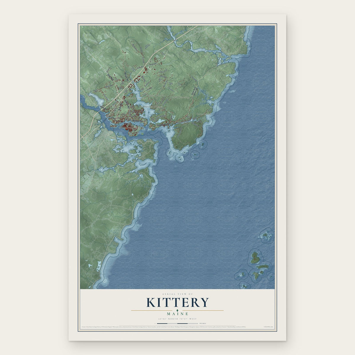
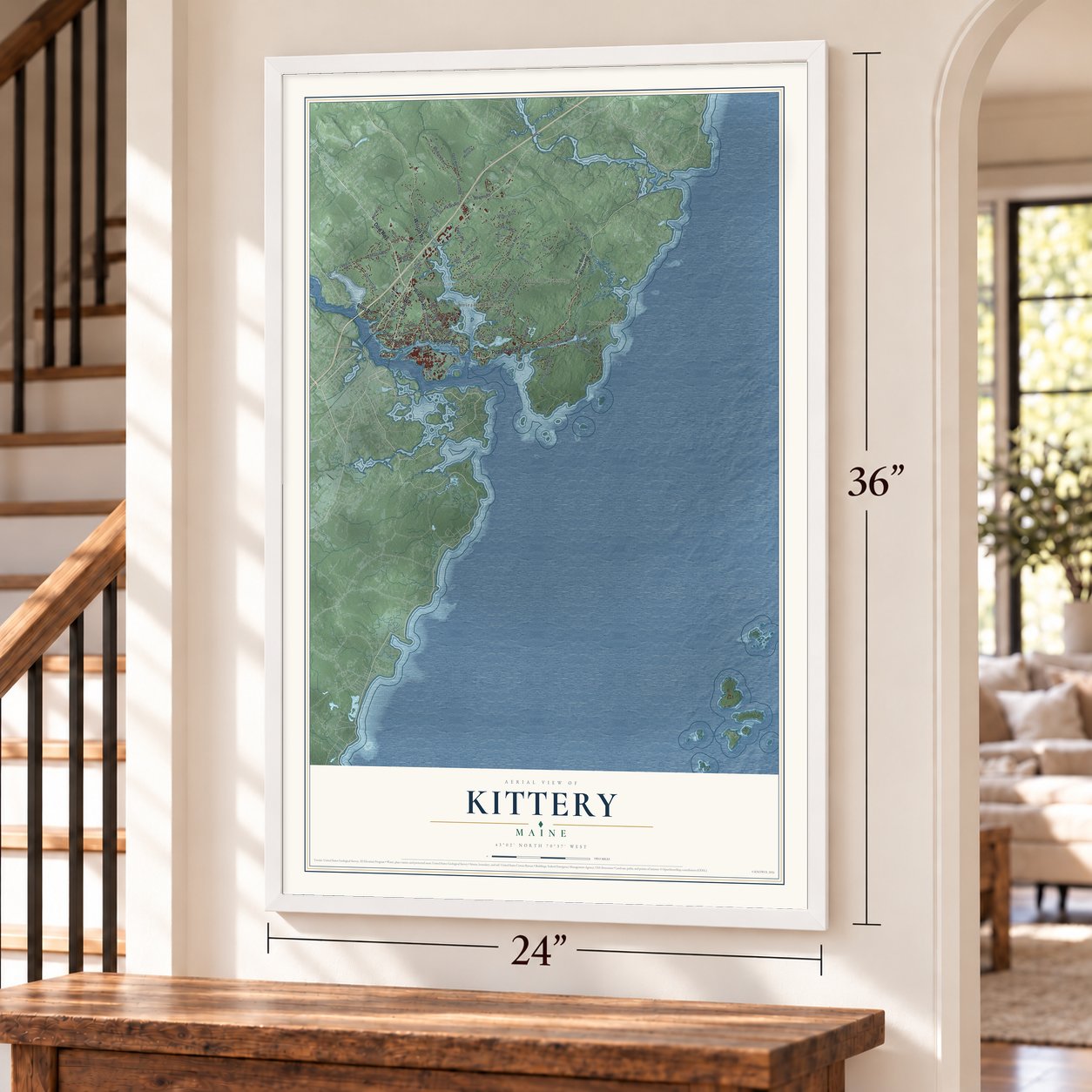
Kittery, Maine Map Art
Building by building, with labeled streets and shaded relief.
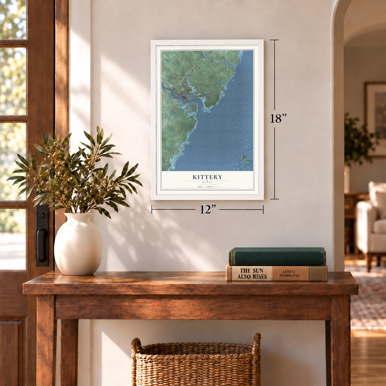
12" x 18" Archival Matte Print
A Map of Home. A Work of Art.
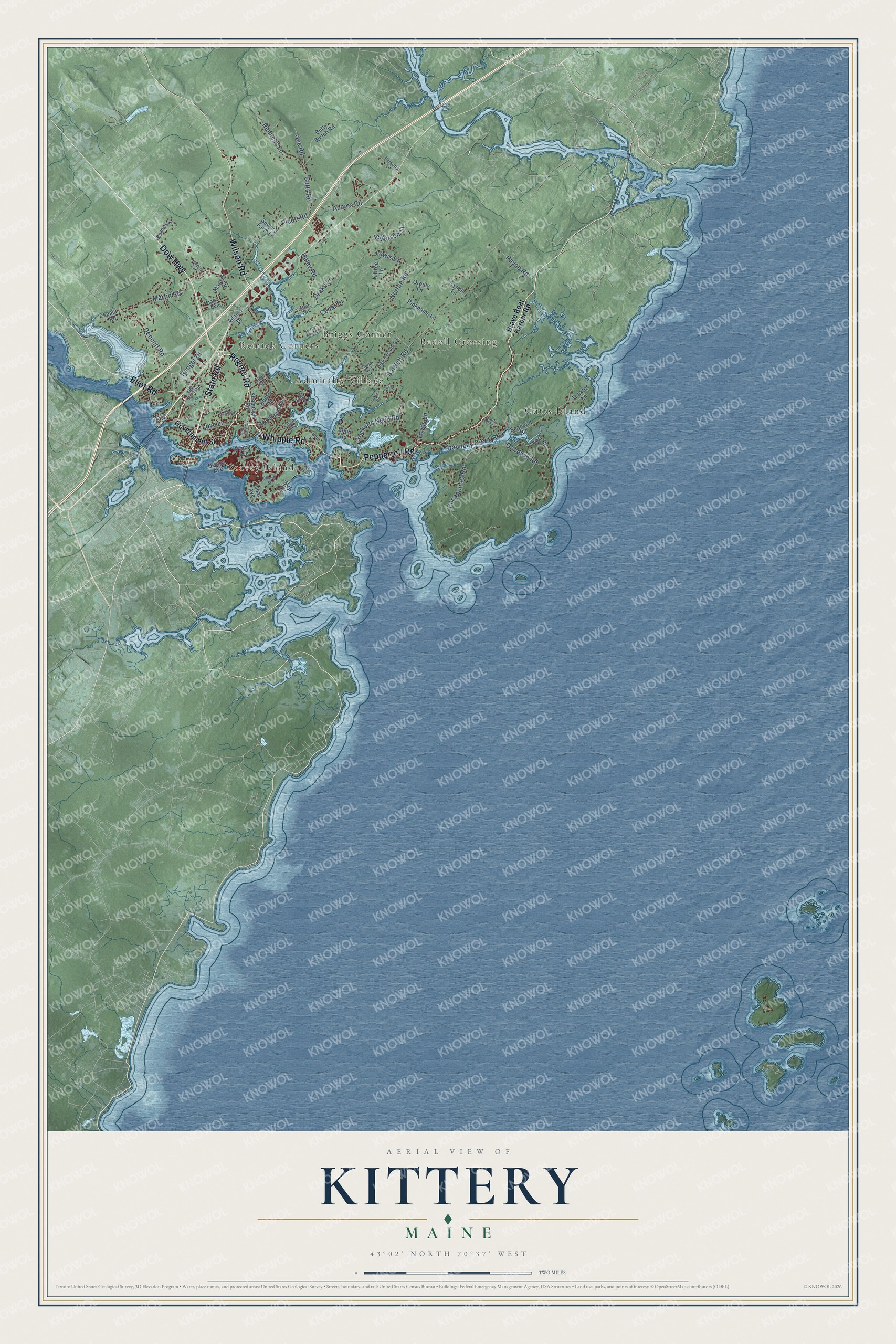
Explore Kittery, Maine from a whole new perspective. Created using aerial imagery and detailed geographic data, this map captures Kittery building by building, with labeled streets, familiar landmarks, and shaded topographical relief that highlights the natural contours of the landscape.
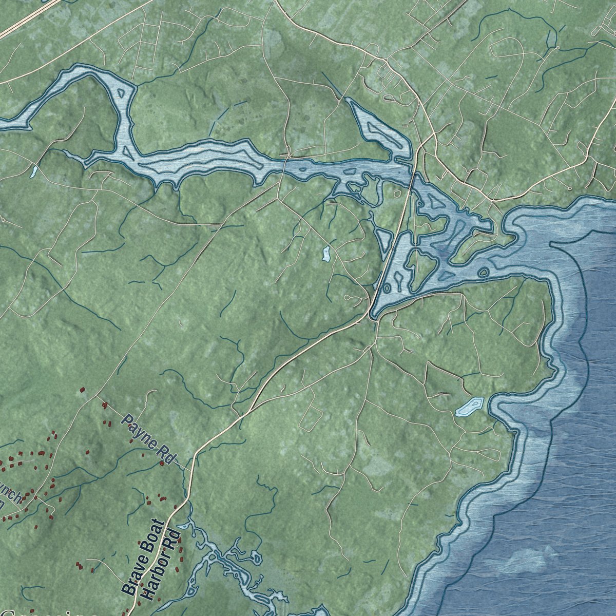
Combining modern data with the timeless character of a vintage atlas, this map is just as interesting up close as it is beautiful on the wall. Whether you grew up in Kittery, spent memorable years there, or call it home today, this unique map is a great way to celebrate a place that means something to you. Zoom in on the preview to look for your street, and then order a print to put your memories on the wall.
Three ways to hang it
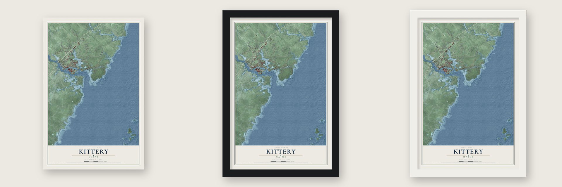
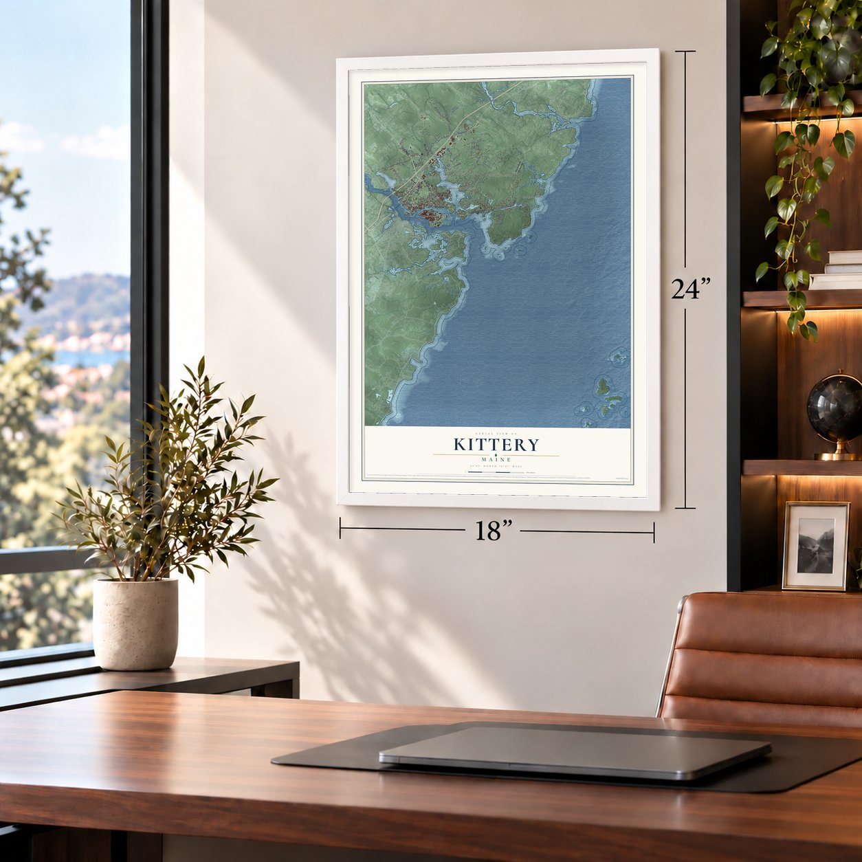
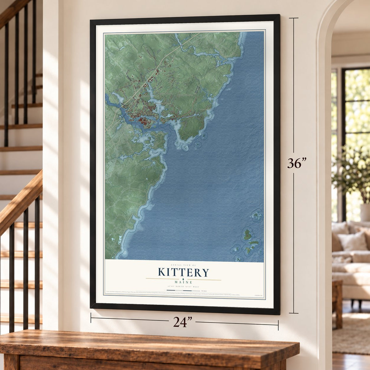
Unframed archival matte, a black wood frame or a white wood frame.
Up close
Geography Worth Displaying
This map was created using accurate cartographic data and authoritative geographic sources, including the U.S. Geological Survey (USGS) and FEMA. The map brings together terrain, waterways, roads, and building detail. The majority of the streets are labeled, houses are accurately depicted, and the topography is derived from government sources. Combining local data with carefully composed color and shading leads to this beautifully detailed Kittery artwork for your wall.
Rather than simply showing street outlines, we’ve included as many of the street names as we could reasonably fit on the map while keeping their names legible. Zoom in on the high resolution preview to see exactly what’s on the map. We truly set out to create a statement piece for anyone who loves Kittery. So whether it’s for you, or a gift for someone you love, we hope this map of Kittery brings back fond memories.
Explore the full map of Kittery, Maine and read about the local places it shows.
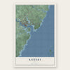
Find your street
Names on the Kittery map
Every name below is printed on this map. Look for your street, your school, the park where you played, or the pond down the road.
Places and landmarks6
- Bedell Crossing
- Remick Corners
- Briggs Corner
- Seavey Island
- Cutts Island
- Admiralty Village
Streets and roads72
- State Road
- Pepperrell Road
- Whipple Road
- Rogers Road
- Dow Highway
- Eliot Road
- Wilson Road
- Martin Road
- Dennett Road
- Love Lane
- Haley Road
- Bartlett Road
- Pocahontas Road
- Goodwin Road
- Norton Road
- Picott Road
- Lewis Road
- Cutts Road
- Jefferson Street
- Chauncey Creek Road
- Crocketts Neck Road
- Remicks Lane
- Ranger Drive
- Payne Road
- Foyes Lane
- Adams Road
- Gee Road
- Cedar Drive
- Drake Lane
- Brave Boat Harbor Road
Show all 72 streets
- Government Street
- Woodlawn Avenue
- Shapleigh Road
- Prior Street
- Tower Road
- Wyman Avenue
- Manson Road
- Betty Welch Road
- Seapoint Road
- Thaxter Lane
- Pinkhams Lane
- Dewey Avenue
- Sloat Avenue
- Oak Terrace
- Kittree Lane
- Oreilly Lane
- Seward Farm Lane
- Bond Road
- Adams Drive
- Leach Road
- Dana Avenue
- Lynch Lane
- Boush Street
- Old Post Road
- High Pasture Road
- Melanies Court
- Jewetts Lane
- Dion Avenue
- Parsons Lane
- Tilton Avenue
- Trafton Lane
- Moore Street
- Tudor Drive
- Janah Avenue
- Lori Lane
- Parker Avenue
- Chapel Street
- Williams Avenue
- Cutts Island Lane
- George Street
- Hartley Farm Lane
- Tuckers Cv
Names are listed as they appear on the printed map. Zoom into the product photos to find them.
About Kittery, Maine
Kittery is a town of 10,070 people in York County, the southernmost town in Maine and the oldest incorporated one. English settlers began building around the natural harbor at the mouth of the Piscataqua River about 1623. Alexander Shapleigh came in 1635 on the Benediction, a ship he owned with Captain Francis Champernowne, and with the Pepperrell family they set up fisheries at the Isles of Shoals, salting fish to sell in Europe.
The town was incorporated in 1647 and named for Kittery Court, the manor at Kingswear in Devon where Shapleigh was born. Its first bounds ran from the ocean up the Salmon Falls River and took in what are now Eliot, South Berwick, Berwick and North Berwick. After Sir Ferdinando Gorges died, Maine joined the Massachusetts Bay Colony in 1652. The frontier stayed dangerous: in 1705, during Queen Anne's War, Wabanaki raiders struck the town, killed six residents and carried off five prisoners.
“Towns there are, are not many in this province. Kittery, situated not far from Passacataway (Portsmouth), is the most populous.”
- Warships since the RevolutionDuring the Revolution, some of the first ships of the U.S. Navy were built on Badger's Island, among them the USS Ranger of 1777, which John Paul Jones commanded. In 1800 the country's first federal navy yard opened on Fernald's Island as the Portsmouth Naval Shipyard.
- A treaty signed at the yardIn the Civil War the shipyard's crews rebuilt the USS Constitution and built the USS Kearsarge. In 1905 the Treaty of Portsmouth, ending the Russo-Japanese War, was signed at the yard, which employed 7,251 people in 2022.
- Rock Rest, 1946 to 1977Clayton and Hazel Sinclair bought Rock Rest in Kittery Point in 1938, and Clayton, a shipyard worker, enlarged the house. From 1946 to 1977, for more than thirty summers, they welcomed Black vacationers when many places to stay turned them away, and word of Hazel's cooking passed from guest to guest. Rock Rest joined the National Register in 2008, and objects from the house are now kept in the collection of the nation's museum of African American history and culture.
- A fort from 1689By 1632 Fort William and Mary guarded the harbor from the New Hampshire shore. In 1689 defenses went up across the river at Kittery Point, and those works later became Fort McClary, now a state historic site.
- Maine's oldest house, 1662The John Bray House, built in 1662, is believed to be the oldest house still standing in Maine. The William Pepperrell House at Kittery Point followed in 1733.
Keep exploring Maine
Kittery is one of 536 Maine towns we've mapped. Every dot on the map is a print of its own.
The search covers every state, Maine first.
Near Kittery
Order 2 or more town maps and save 10%. Shown in the size and finish you picked above, so they hang as a set.
- Kittery Point 12" x 18" / Archival Matte Print $39.99
- York Harbor 12" x 18" / Archival Matte Print $39.99
- York 12" x 18" / Archival Matte Print $39.99
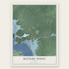
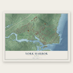
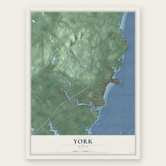
More maps nearby: Cape Neddick, Eliot, South Eliot, Ogunquit and South Berwick.
The art of mapping a place
How This Map Was Made
Real places. Remarkable detail. Discover the layers that turn geographic data into a map of home.

The view from above
Aerial imagery reveals the character of the land: woodland, open fields, and the patterns of a place.

The shape of the land
Elevation data brings hills, valleys, and subtle changes in the landscape into view.

The details of home
Roads, waterways, and building footprints come together to make the map feel unmistakably local.

Geography becomes art
Considered color, shading, and typography bring the layers together in a map made for your wall.


Process illustrated with Mendon, Massachusetts. Aerial imagery: USDA NAIP. Terrain: USGS 3D Elevation Program. Map details and finished artwork: KNOWOL.
The Details
About This Print
Choose an archival matte print, or a black or white Ayous wood frame. The archival matte print is unframed.
Select your size and finish above to see the matching product image and price.
Materials & Craftsmanship
A contemporary map with the character of a classic atlas, printed on archival matte paper. Optional frames are made from Ayous wood.
Your printed map does not include the watermark shown in the full-map preview.
Shipping & Delivery
Free shipping within the United States. Every print is made to order in the USA.
Buying a gift? Add a note in your cart and we'll include it. We never put prices in the package.
Prints ship within 2 to 3 business days. Allow 7 to 10 days total from ordering for delivery. Timing may vary during holidays or periods of high order volume.
Read our shipping policy.
Returns and damaged prints
Each print is made to order. Change-of-mind refunds are not available after production.
If your print arrives damaged, misprinted or incorrect, contact support@knowol.com within 30 days of receiving it. Include your order number, photos and a description of the issue.
Read our full refund and replacement policy. For questions about your order, email support@knowol.com.