
Search for another town

Free U.S. delivery 7 to 10 days after you order
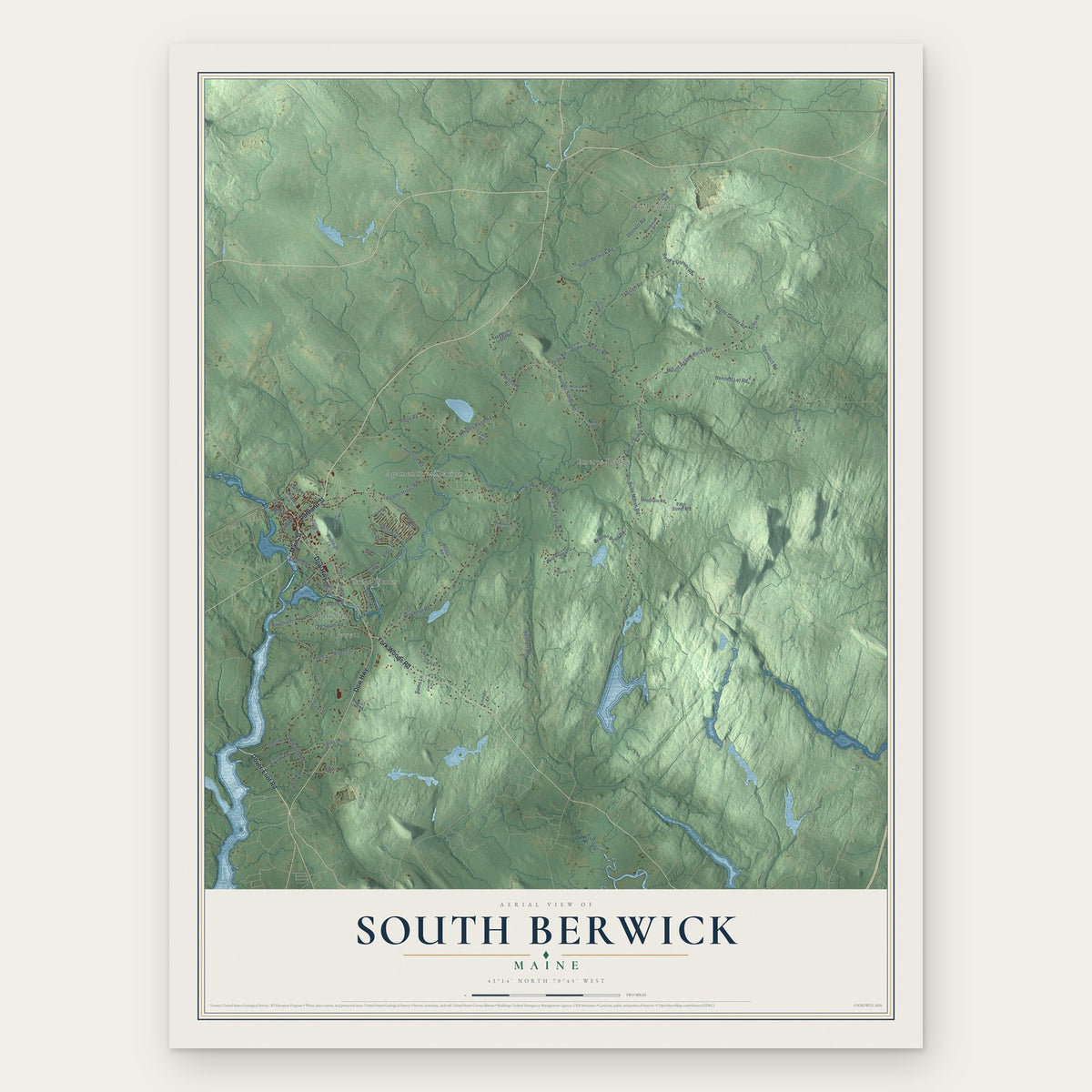
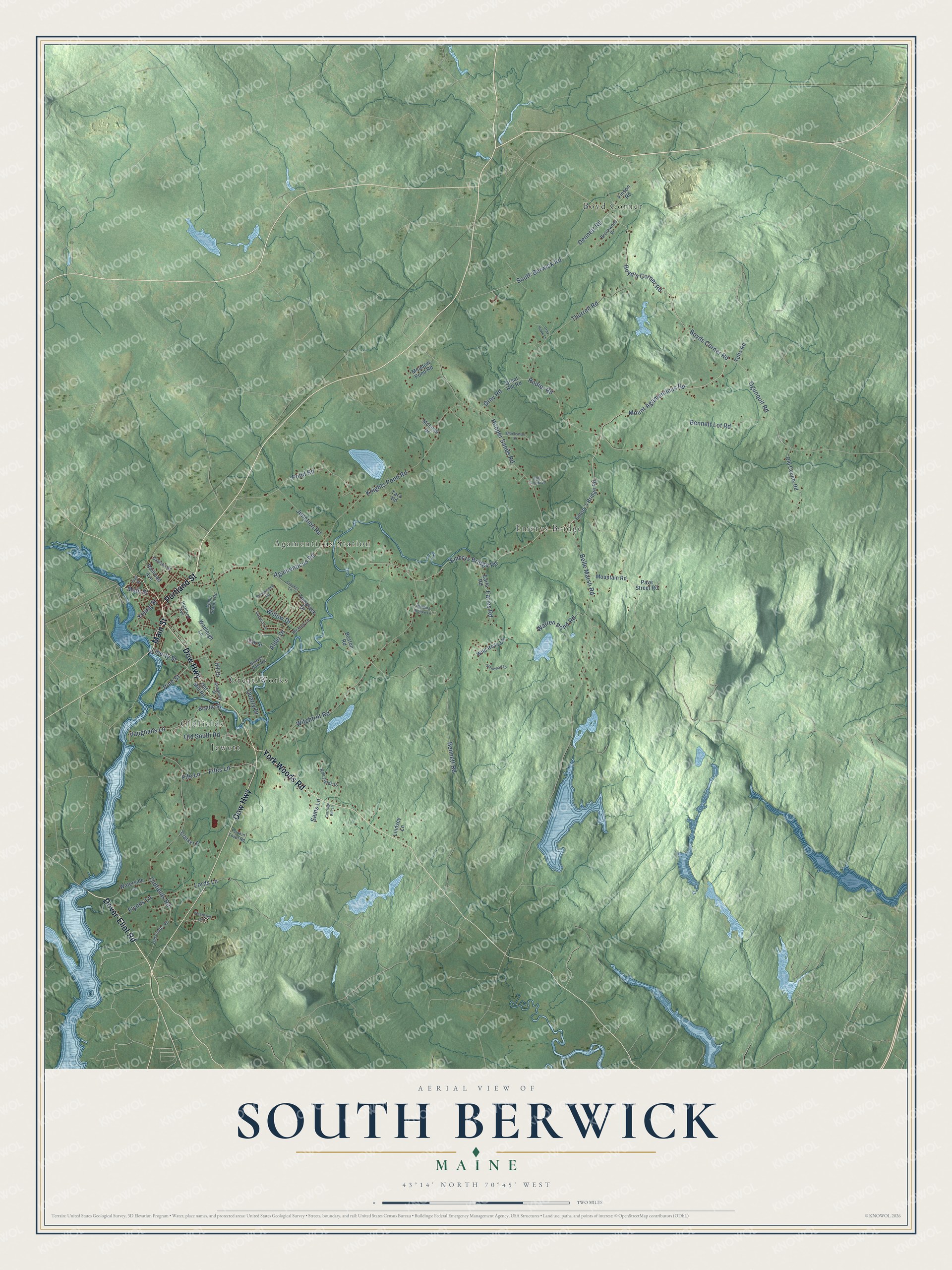
South Berwick, Maine Map Art
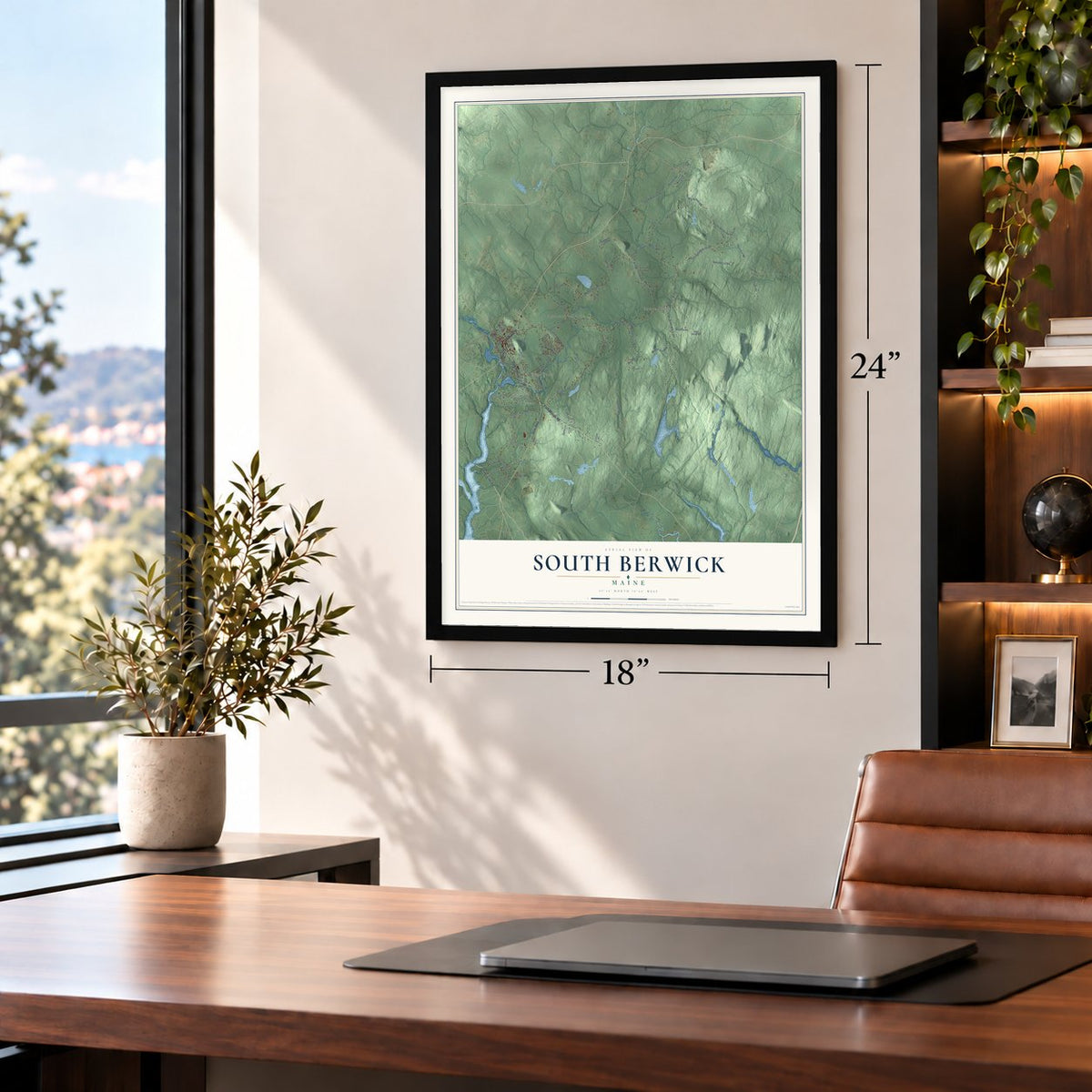
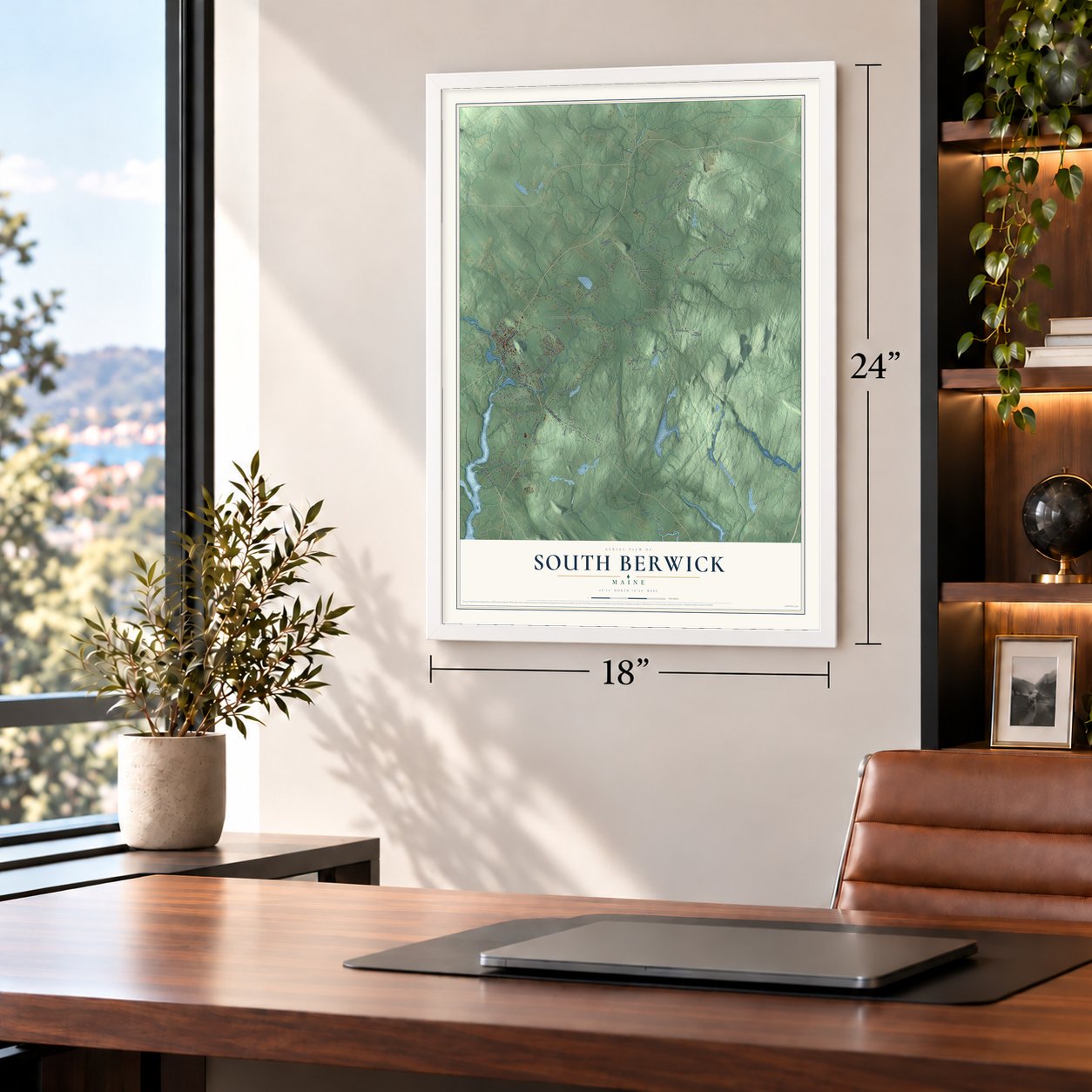
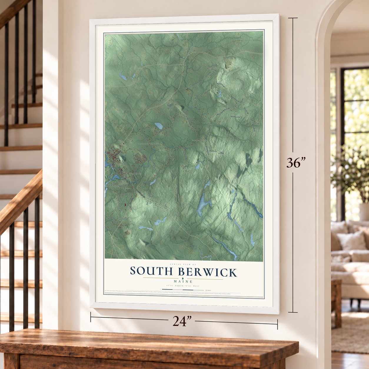
Building by building, with labeled streets and shaded relief.
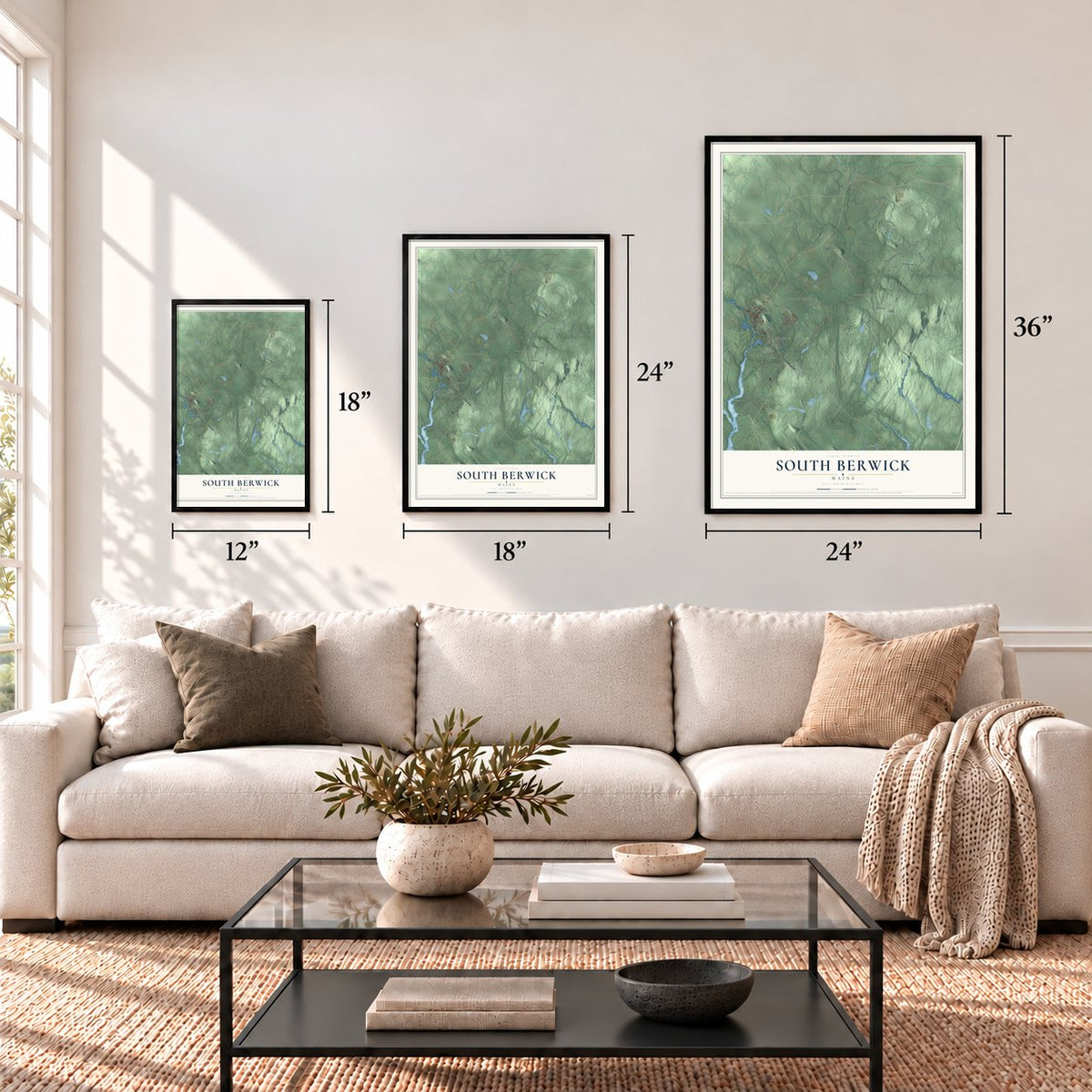
12" x 18" Archival Matte Print
A Map of Home. A Work of Art.
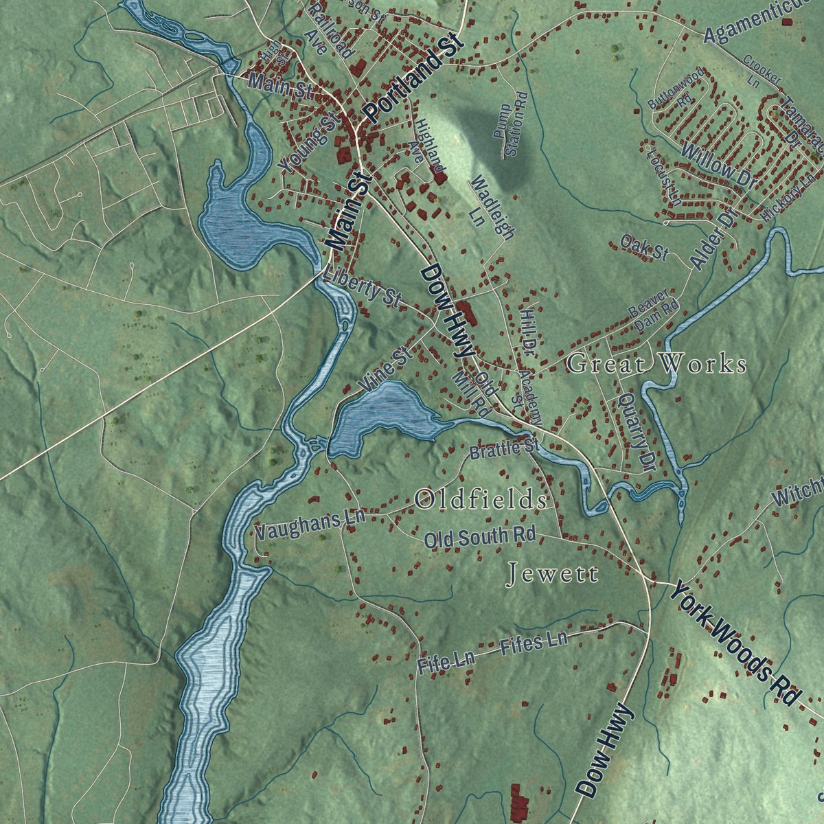
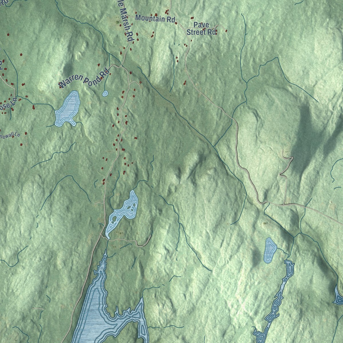
Explore South Berwick, Maine from a whole new perspective. Created using aerial imagery and detailed geographic data, this map captures South Berwick building by building, with labeled streets, familiar landmarks, and shaded topographical relief that highlights the natural contours of the landscape.
Combining modern data with the timeless character of a vintage atlas, this map is just as interesting up close as it is beautiful on the wall. Whether you grew up in South Berwick, spent memorable years there, or call it home today, this unique map is a great way to celebrate a place that means something to you. Zoom in on the preview to look for your street, and then order a print to put your memories on the wall.
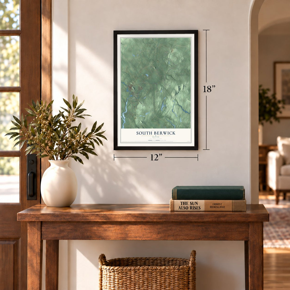
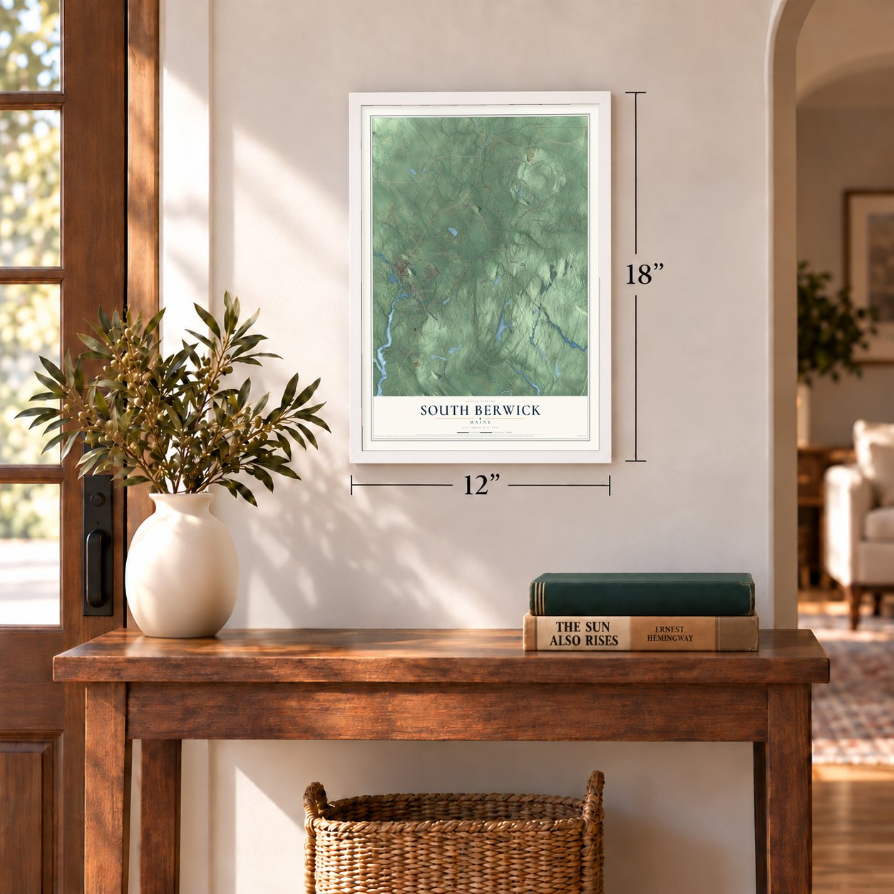
Three ways to hang it
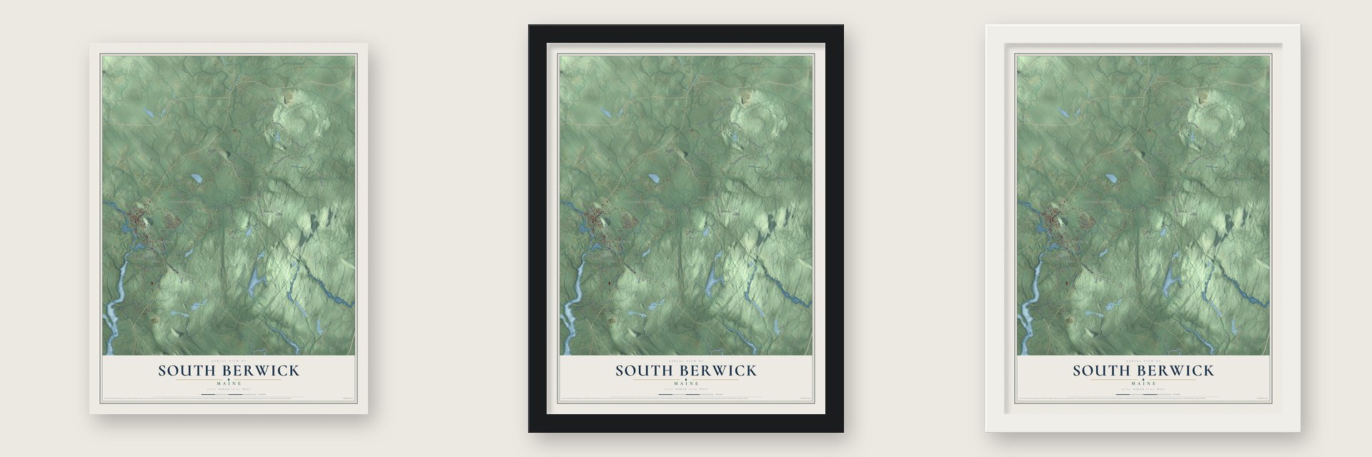
Unframed archival matte, a black wood frame or a white wood frame.
Up close
Geography Worth Displaying
This map was created using accurate cartographic data and authoritative geographic sources, including the U.S. Geological Survey (USGS) and FEMA. The map brings together terrain, waterways, roads, and building detail. The majority of the streets are labeled, houses are accurately depicted, and the topography is derived from government sources. Combining local data with carefully composed color and shading leads to this beautifully detailed South Berwick artwork for your wall.
Rather than simply showing street outlines, we’ve included as many of the street names as we could reasonably fit on the map while keeping their names legible. Zoom in on the high resolution preview to see exactly what’s on the map. We truly set out to create a statement piece for anyone who loves South Berwick. So whether it’s for you, or a gift for someone you love, we hope this map of South Berwick brings back fond memories.
Explore the full map of South Berwick, Maine and read about the local places it shows.

Find your street
Names on the South Berwick map
Every name below is printed on this map. Look for your street, your school, the park where you played, or the pond down the road.
Places and landmarks6
- Emerys Bridge
- Oldfields
- Boyd Corner
- Agamenticus Station
- Great Works
- Jewett
Streets and roads84
- Dover-Eliot Road
- Main Street
- Dow Highway
- York Woods Road
- Portland Street
- Mount Agamenticus Road
- Boyds Corner Road
- Emerys Bridge Road
- Liberty Street
- Rodier Road
- Vine Street
- Agamenticus Road
- Flynns Lane
- Knights Pond Road
- Oldfields Road
- Witchtrot Road
- Bennett Road
- Ogunquit Road
- Belle Marsh Road
- Bennett Lot Road
- Thurrell Road
- Hooper Sands Road
- Dennett Road
- South Berwick Road
- Pond Road
- Lords Lane
- Boyd's Corner Road
- Old South Road
- Earles Road
- Fifes Lane
Show all 84 streets
- Fife Lane
- Willow Drive
- Junction Road
- Quarry Drive
- Alder Drive
- Gray Road
- Warren Pond Road
- Vaughans Lane
- Young Street
- Sams Lane
- Emery's Bridge Road
- Wadleigh Lane
- Finson Road
- Mountain Road
- Old County Road
- Earls Road
- Brattle Street
- Great Hill Road
- Tamarack Drive
- Waterside Lane
- Lindsey Lane
- Old Mill Road
- Meadow Pond Road
- Wild Rose Lane
- Pave Street Road
- Railroad Avenue
- Oak Street
- McLean Drive
- Clarks Lane
- Tara Road
- Tufts Road
- Boston Road
- Hill Drive
- Academy Street
- Beaver Dam Road
- Highland Avenue
- Roe Fields Drive
- Locust Lane
- Brookwood Drive
- Punkin Town Road
- Pump Station Road
- Hickory Lane
- Old Fields Road
- Dawson Street
- Hat Trick Lane
- Buttonwood Road
- Woodland Hill
- Crooker Lane
- Winding Brooke Lane
- Stonewall Lane
- Blackswan Drive
- Gray Hawk Lane
- Carriage Hill Lane
- High Street
Names are listed as they appear on the printed map. Zoom into the product photos to find them.
About South Berwick, Maine
South Berwick is a town of 7,467 people in York County, on the New Hampshire border, where the Great Works River runs into the Salmon Falls River. The Abenaki called this place Newichawannock, "river with many falls," and Europeans settled here about 1631, when it was Kittery North Parish. Near the meeting of the two rivers, Ambrose Gibbons built the Great House, a trading post ringed by a palisade, where he dealt with the Indians.
Three men from England, William Chadbourne, James Wall and John Goddard, arrived on the Pied Cow in 1634 to put up a sawmill and a gristmill at Assabumbadoc Falls, and Chadbourne and Wall built the first houses. The settlement was attacked in 1675 during King Philip's War. In King William's War, Indians led by officers from New France burned it, and settlers left. They returned in 1703, and in 1713 the Massachusetts General Court incorporated the town as Berwick. On February 12, 1814, South Berwick became a town of its own.
- Scottish prisoners at the millIn 1651 the engineer Richard Leader rebuilt the first sawmill to run up to 20 saws, and it became known as the "Great mill workes," the source of the Great Works River's name. Its crew was 25 Scots whom Oliver Cromwell's army had captured at the Battle of Dunbar in 1650 and shipped over on the Unity. Sold as indentured servants, they could earn their freedom by working, and the settlement took the name Parish of Unity.
- Cotton at Quampheagan FallsThe Portsmouth Manufacturing Company opened its cotton mill in 1831 at Quampheagan Falls, the head of navigation on the Salmon Falls River. With 7000 spindles and 216 looms, it was turning out 2 million yards of sheeting a year by 1868. The mill shut down in 1893, and most of its brick buildings came down about 1917. Its Greek Revival counting house survived and now holds the Old Berwick Historical Society Museum.
- Sarah Orne Jewett's townThe novelist Sarah Orne Jewett was a South Berwick author, and her family's house, built in 1774, looks over Central Square. Her 1901 historical romance, The Tory Lover, takes place at the Hamilton House, a Federal style mansion from about 1785. Historic New England now runs both houses as museums.
- Strawberries since 1976South Berwick first held its Strawberry Festival in 1976 to mark the nation's Bicentennial. Crowds liked it so much that the organizers kept it going every year since, on the last Saturday in June, with shops, food, games, children's rides and trolley rides on the grounds of Central School.
Keep exploring Maine
South Berwick is one of 536 Maine towns we've mapped. Every dot on the map is a print of its own.
The search covers every state, Maine first.
Near South Berwick
Order 2 or more town maps and save 10%. Shown in the size and finish you picked above, so they hang as a set.
- Eliot 12" x 18" / Archival Matte Print $39.99
- Berwick 12" x 18" / Archival Matte Print $39.99
- South Eliot 12" x 18" / Archival Matte Print $39.99
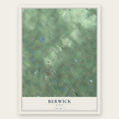
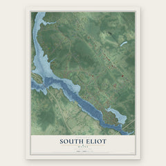
More maps nearby: Cape Neddick, North Berwick, York Harbor, Wells and Ogunquit.
The art of mapping a place
How This Map Was Made
Real places. Remarkable detail. Discover the layers that turn geographic data into a map of home.

The view from above
Aerial imagery reveals the character of the land: woodland, open fields, and the patterns of a place.

The shape of the land
Elevation data brings hills, valleys, and subtle changes in the landscape into view.

The details of home
Roads, waterways, and building footprints come together to make the map feel unmistakably local.

Geography becomes art
Considered color, shading, and typography bring the layers together in a map made for your wall.


Process illustrated with Mendon, Massachusetts. Aerial imagery: USDA NAIP. Terrain: USGS 3D Elevation Program. Map details and finished artwork: KNOWOL.
The Details
About This Print
Choose an archival matte print, or a black or white Ayous wood frame. The archival matte print is unframed.
Select your size and finish above to see the matching product image and price.
Materials & Craftsmanship
A contemporary map with the character of a classic atlas, printed on archival matte paper. Optional frames are made from Ayous wood.
Your printed map does not include the watermark shown in the full-map preview.
Shipping & Delivery
Free shipping within the United States. Every print is made to order in the USA.
Buying a gift? Add a note in your cart and we'll include it. We never put prices in the package.
Prints ship within 2 to 3 business days. Allow 7 to 10 days total from ordering for delivery. Timing may vary during holidays or periods of high order volume.
Read our shipping policy.
Returns and damaged prints
Each print is made to order. Change-of-mind refunds are not available after production.
If your print arrives damaged, misprinted or incorrect, contact support@knowol.com within 30 days of receiving it. Include your order number, photos and a description of the issue.
Read our full refund and replacement policy. For questions about your order, email support@knowol.com.