
Search for another town


Free U.S. delivery 7 to 10 days after you order
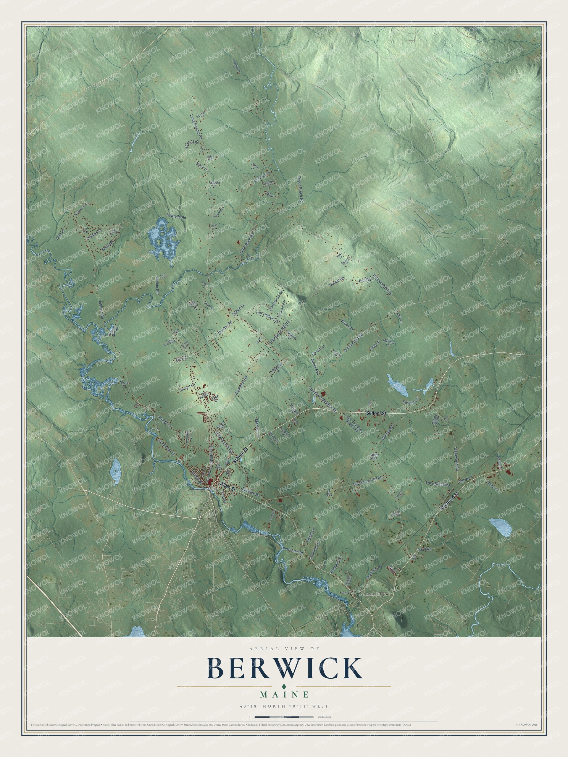
Berwick, Maine Map Art
Building by building, with labeled streets and shaded relief.
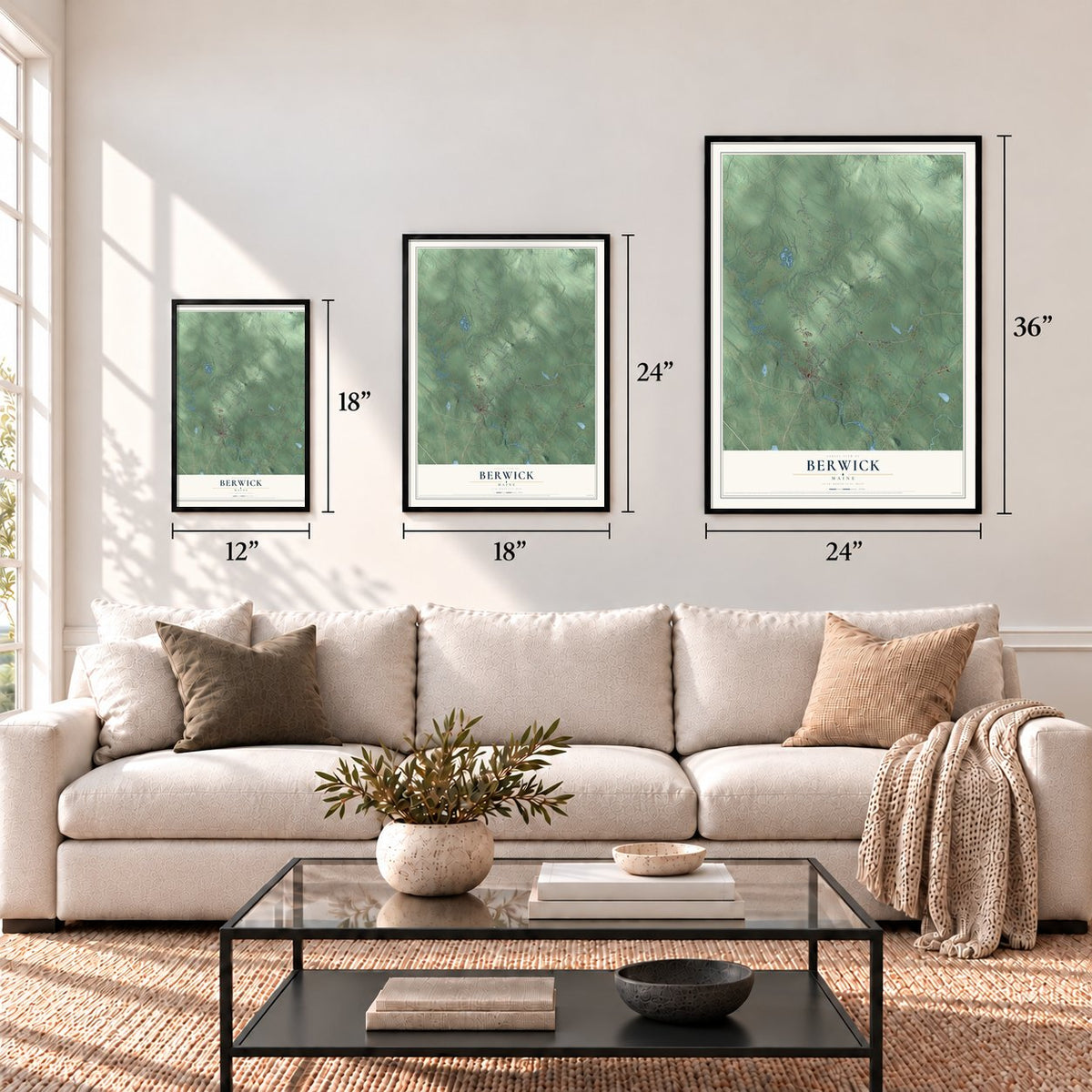
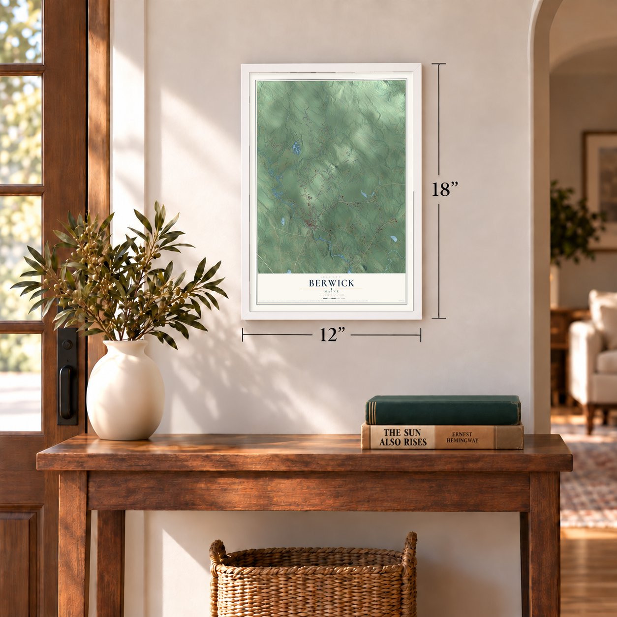
12" x 18" Archival Matte Print
A Map of Home. A Work of Art.
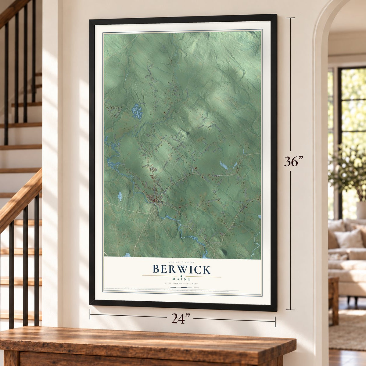
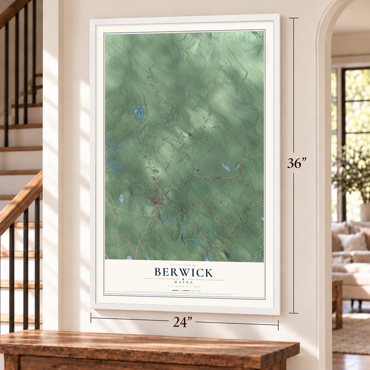
Explore Berwick, Maine from a whole new perspective. Created using aerial imagery and detailed geographic data, this map captures Berwick building by building, with labeled streets, familiar landmarks, and shaded topographical relief that highlights the natural contours of the landscape.
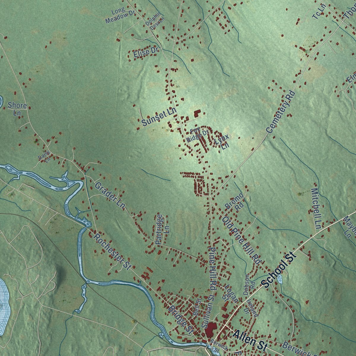
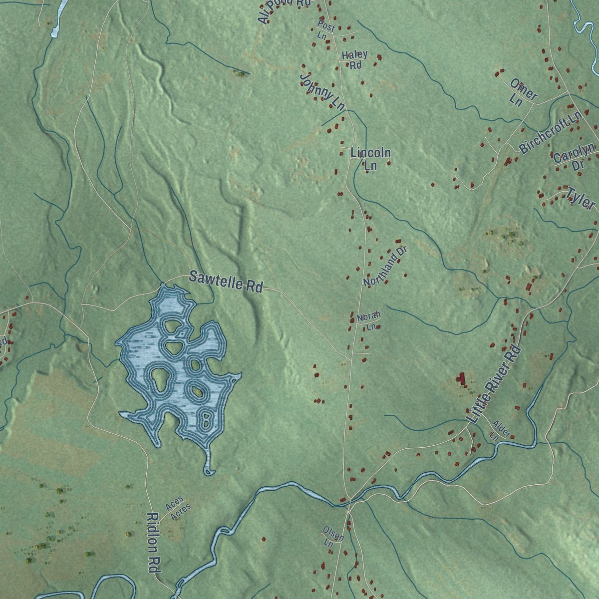
Combining modern data with the timeless character of a vintage atlas, this map is just as interesting up close as it is beautiful on the wall. Whether you grew up in Berwick, spent memorable years there, or call it home today, this unique map is a great way to celebrate a place that means something to you. Zoom in on the preview to look for your street, and then order a print to put your memories on the wall.
Three ways to hang it
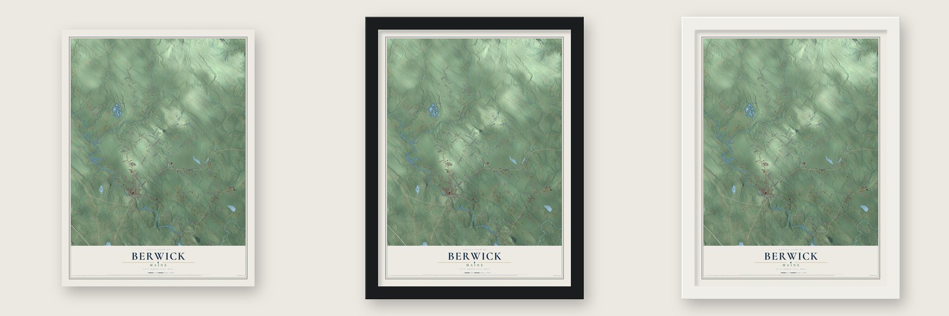
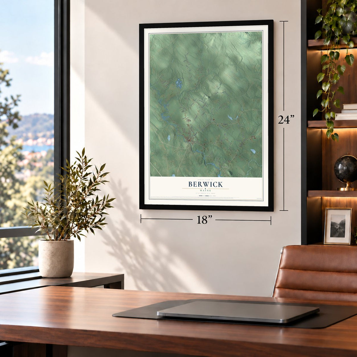
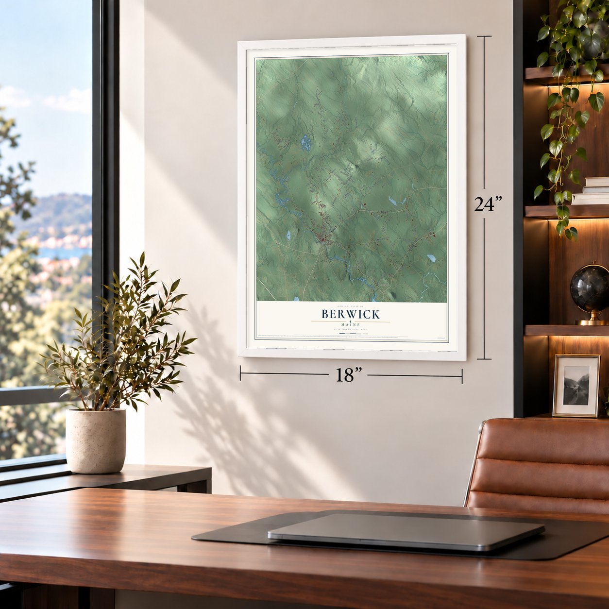
Unframed archival matte, a black wood frame or a white wood frame.
Up close
Geography Worth Displaying
This map was created using accurate cartographic data and authoritative geographic sources, including the U.S. Geological Survey (USGS) and FEMA. The map brings together terrain, waterways, roads, and building detail. The majority of the streets are labeled, houses are accurately depicted, and the topography is derived from government sources. Combining local data with carefully composed color and shading leads to this beautifully detailed Berwick artwork for your wall.
Rather than simply showing street outlines, we’ve included as many of the street names as we could reasonably fit on the map while keeping their names legible. Zoom in on the high resolution preview to see exactly what’s on the map. We truly set out to create a statement piece for anyone who loves Berwick. So whether it’s for you, or a gift for someone you love, we hope this map of Berwick brings back fond memories.
Explore the full map of Berwick, Maine and read about the local places it shows.
Find your street
Names on the Berwick map
Every name below is printed on this map. Look for your street, your school, the park where you played, or the pond down the road.
Places and landmarks1
- Cummings
Streets and roads114
- School Street
- Allen Street
- Portland Street
- Cemetery Road
- Thompson Hill Road
- Old Sanford Road
- Pine Hill Road
- Cranberry Meadow Road
- Hubbard Road
- Ridlon Road
- Little River Road
- Blackberry Hill Road
- Long Swamp Road
- Diamond Hill Road
- Wentworth Road
- Sawtelle Road
- Guinea Road
- Old Pine Hill Road
- Rochester Street
- Love Brook Road
- Togue Brook Road
- Worster Road
- Keay Road
- Berwick Road
- Tall Timbers Drive
- Pigtail Lane
- Old Route 4
- Italo Lane
- Durant Road
- Kathios Lane
Show all 114 streets
- Butler Avenue
- King Lane
- Grader Lane
- Raegan Lane
- Brown Lane
- New Dam Road
- Hall Road
- Stone Lane
- Mitchell Lane
- Karen Lane
- Coffin Lane
- Bridge Street
- Sophies Lane
- Thomas Drive
- Gahan Lane
- Tyler
- Sunset Lane
- Pond Road
- First Street
- Sullivan Street
- Birchcroft Lane
- East Pasture Road
- Lower Cranberry Meadow Road
- Elmwood Drive
- Partridge Lane
- Saddle Hill Drive
- Blackmore Road
- Hornes Mill Road
- Ali Pond Road
- Heritage Drive
- Omer Lane
- Bromo Road
- Logan Street
- Johnny Lane
- Morrill Drive
- Deer Trail Lane
- Carolyn Drive
- Ledge Lane
- Mayberry Lane
- Mystery Lane
- Elise Drive
- Yankee Lane
- Joelin Lane
- Lynx Lane
- Lincoln Lane
- James Way
- Shore Lane
- Tc Lane
- Sunrise Hill
- Buttonwood Drive
- Whippoorwill Lane
- Carriage Runn
- Ireland Drive
- Tall Pine Road
- Dobson Road
- Fox Ridge Drive
- Long Hall Drive
- Mayflower Lane
- Northland Drive
- Hemlock Lane
- Long Meadow Drive
- Callahan Lane
- Bell Street
- Country Lane
- Shadow Lane
- Hansen Road
- Haley Road
- Berwick Street
- Jewell Lane
- Circuit Road
- Powerhouse Road
- Aces Acres
- Alder Lane
- Nursery
- Trapper Lane
- Dolphin Desi Lane
- Rocky Lane
- Squire Lane
- Sidney Drive
- Norah Lane
- Meter Lane
- Olson Lane
- Daisy Lane
- Post Lane
Names are listed as they appear on the printed map. Zoom into the product photos to find them.
About Berwick, Maine
Berwick is a town of 7,950 people in York County, on the Salmon Falls River across the bridge from Somersworth, New Hampshire. The Abenaki knew this country as Newichawannock, and English settlement began about 1631, when Ambrose Gibbens came to land then counted as part of Kittery. Gibbens later ran a trading post that sold arms and ammunition to his fellow settlers.
The tall pines here supported a shipbuilding trade, and Great Works Falls, now in South Berwick, is where English America's first sawmill was built. In 1690, during King William's War, the Raid on Salmon Falls burned the village, and its people left it empty. Settlers returned in 1703 and soon named the place for Berwick-upon-Tweed in England. Kittery wanted the town and its mills broken into several towns, but the Great and General Court incorporated Berwick whole on June 9, 1713, making it the ninth town in present-day Maine.
- Scots from DunbarThe early parish was called Unity, for the ship that carried Scottish prisoners from the Battle of Dunbar in 1650. They had backed Charles II against Oliver Cromwell and were tried for treason, then sold as indentured servants in Massachusetts. Many worked at the Great Works mills until they had paid for their freedom, and many settled near the Eliot-York border, at a spot still called Scotland Bridge.
- One town became threeIn 1749 Berwick's voters divided the town into a northern parish, Blackberry Hill, and a southern one, Old Fields. Separate communities grew up around each, and the town gave up land twice: South Berwick won its request to be set off in 1814, and North Berwick followed in 1831.
- A governor raised hereBerwick was the birthplace of James Sullivan in 1744, and he grew up in town. He joined the highest court of Massachusetts in 1776, served for years as attorney general, helped write the state constitution and was governor from 1807 until he died. The Massachusetts Historical Society chose him as its first president, and he wrote one of the earliest histories of Maine.
- Schools since 1719The first schoolhouse in the state went up in Berwick in 1719. The old Berwick High School at 45 School Street taught the town's students from 1928 to 2001 and joined the National Register in 2012. Today Berwick students in grades 7 to 12 go to Noble High School in North Berwick.
- From tannery to The EdgeNute's Shoe Factory came to Berwick late in the 19th century, and Prime Tanning early in the 20th. Prime Tanning grew into an international leather maker, but after going bankrupt it merged with a Chinese company in 2008 and closed its Berwick headquarters. Great Falls Construction bought the old grounds on October 31, 2019, and the first commercial building of The Edge at Berwick opened there in 2022 with eight businesses, among them a butcher shop and a dental office.
Keep exploring Maine
Berwick is one of 536 Maine towns we've mapped. Every dot on the map is a print of its own.
The search covers every state, Maine first.
Near Berwick
Order 2 or more town maps and save 10%. Shown in the size and finish you picked above, so they hang as a set.
- North Berwick 12" x 18" / Archival Matte Print $39.99
- South Berwick 12" x 18" / Archival Matte Print $39.99
- Lebanon 12" x 18" / Archival Matte Print $39.99
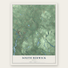
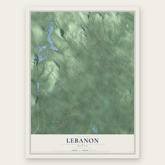
More maps nearby: Sanford, Wells, Eliot, South Eliot and Alfred.
The art of mapping a place
How This Map Was Made
Real places. Remarkable detail. Discover the layers that turn geographic data into a map of home.

The view from above
Aerial imagery reveals the character of the land: woodland, open fields, and the patterns of a place.

The shape of the land
Elevation data brings hills, valleys, and subtle changes in the landscape into view.

The details of home
Roads, waterways, and building footprints come together to make the map feel unmistakably local.

Geography becomes art
Considered color, shading, and typography bring the layers together in a map made for your wall.


Process illustrated with Mendon, Massachusetts. Aerial imagery: USDA NAIP. Terrain: USGS 3D Elevation Program. Map details and finished artwork: KNOWOL.
The Details
About This Print
Choose an archival matte print, or a black or white Ayous wood frame. The archival matte print is unframed.
Select your size and finish above to see the matching product image and price.
Materials & Craftsmanship
A contemporary map with the character of a classic atlas, printed on archival matte paper. Optional frames are made from Ayous wood.
Your printed map does not include the watermark shown in the full-map preview.
Shipping & Delivery
Free shipping within the United States. Every print is made to order in the USA.
Buying a gift? Add a note in your cart and we'll include it. We never put prices in the package.
Prints ship within 2 to 3 business days. Allow 7 to 10 days total from ordering for delivery. Timing may vary during holidays or periods of high order volume.
Read our shipping policy.
Returns and damaged prints
Each print is made to order. Change-of-mind refunds are not available after production.
If your print arrives damaged, misprinted or incorrect, contact support@knowol.com within 30 days of receiving it. Include your order number, photos and a description of the issue.
Read our full refund and replacement policy. For questions about your order, email support@knowol.com.