
Search for another town


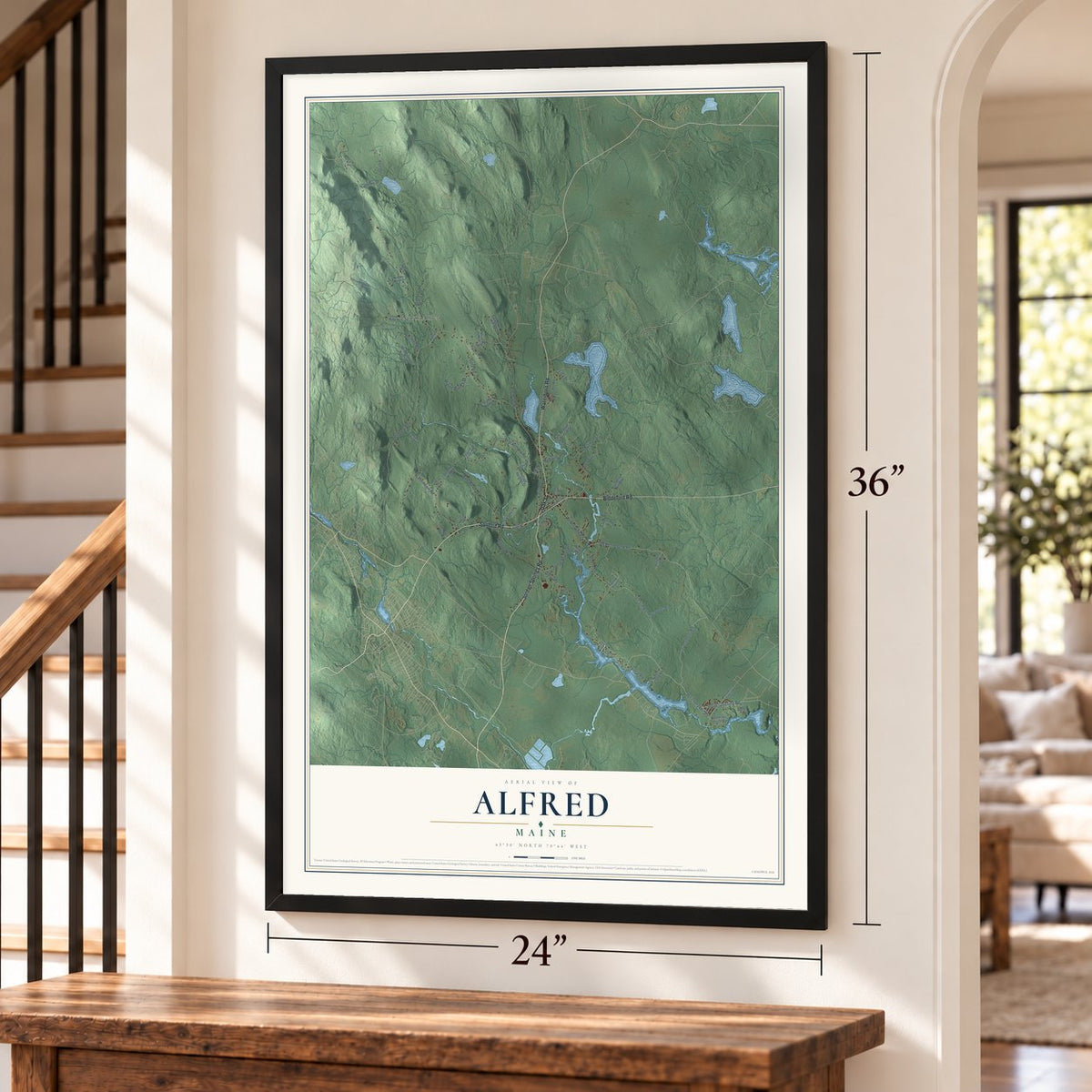
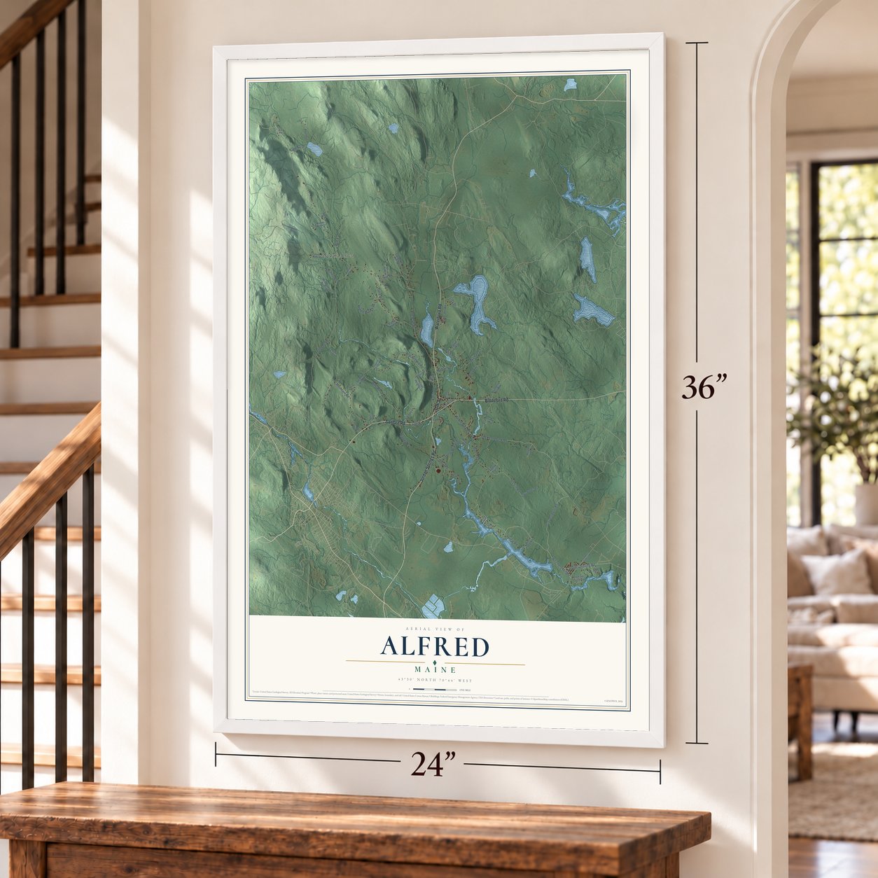
Free U.S. delivery 7 to 10 days after you order
Alfred, Maine Map Art
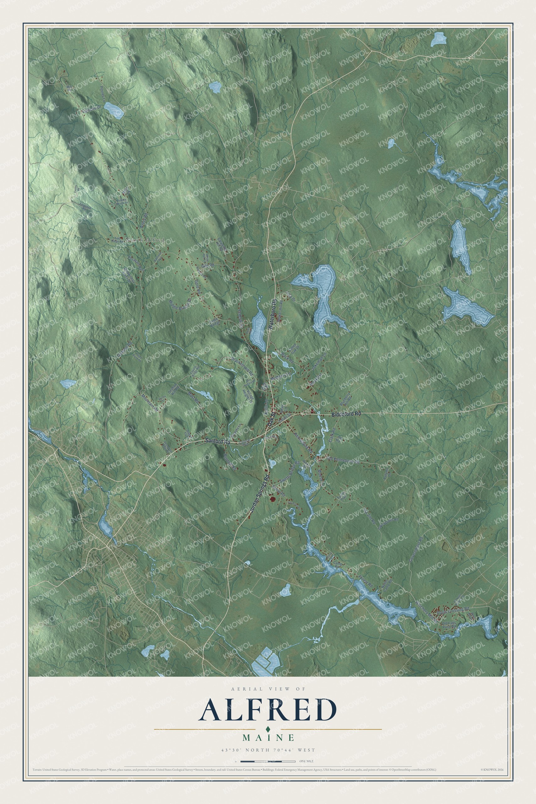
Building by building, with labeled streets and shaded relief.
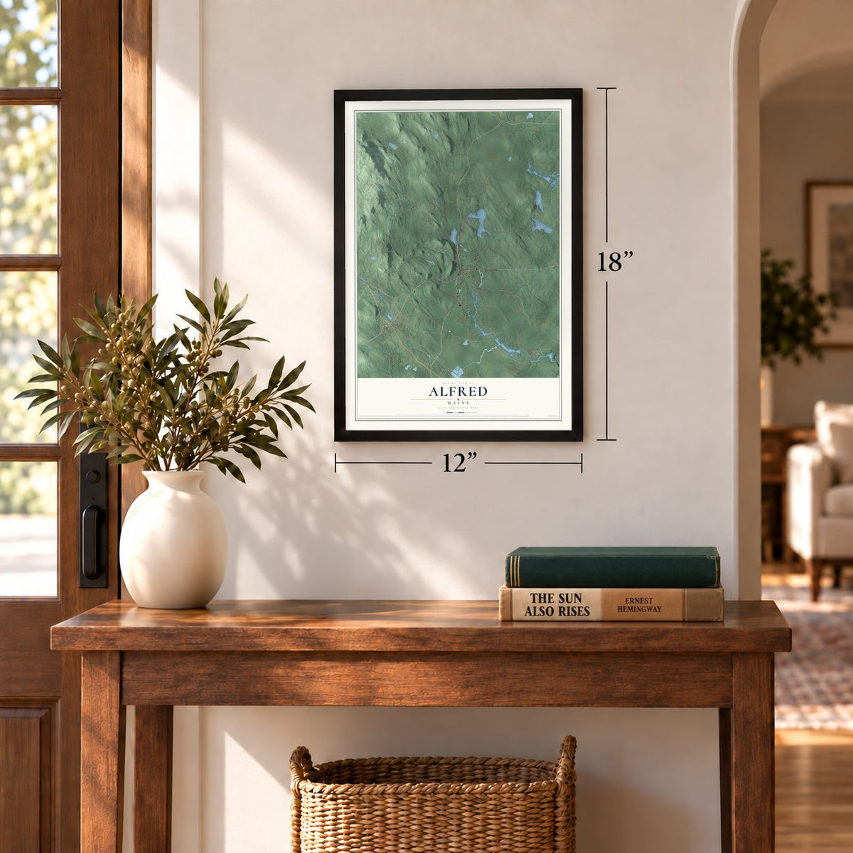
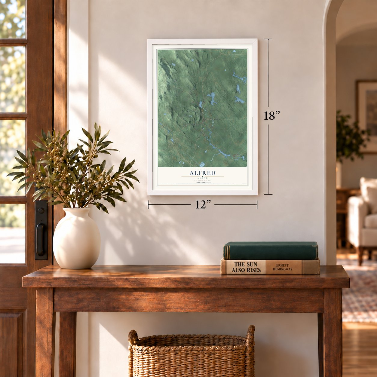
12" x 18" Archival Matte Print
A Map of Home. A Work of Art.
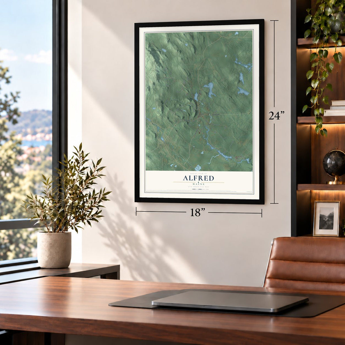
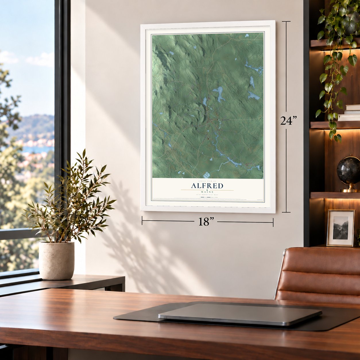
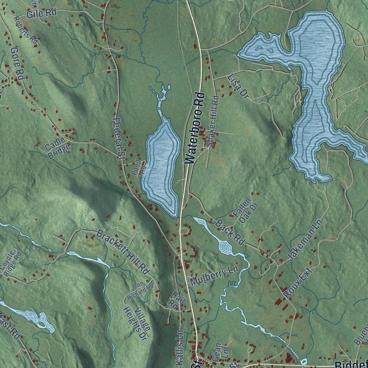
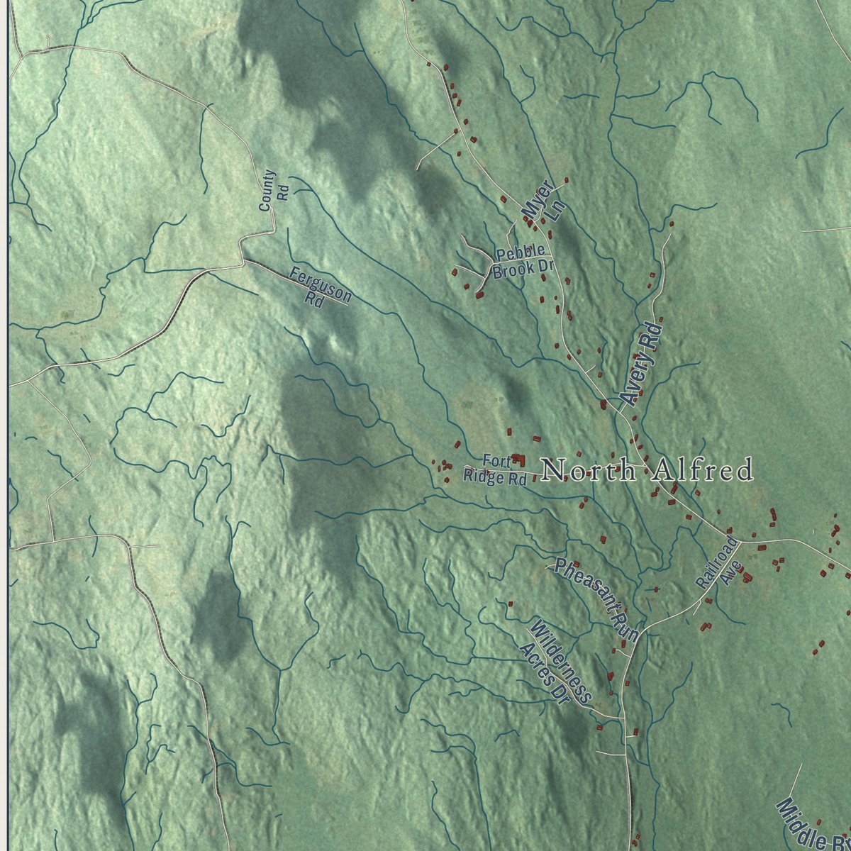
Explore Alfred, Maine from a whole new perspective. Created using aerial imagery and detailed geographic data, this map captures Alfred building by building, with labeled streets, familiar landmarks, and shaded topographical relief that highlights the natural contours of the landscape.
Combining modern data with the timeless character of a vintage atlas, this map is just as interesting up close as it is beautiful on the wall. Whether you grew up in Alfred, spent memorable years there, or call it home today, this unique map is a great way to celebrate a place that means something to you. Zoom in on the preview to look for your street, and then order a print to put your memories on the wall.
Three ways to hang it
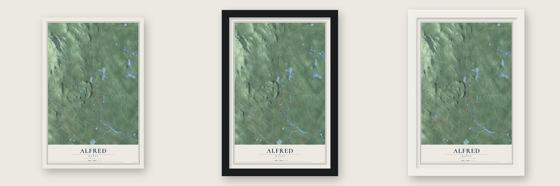
Unframed archival matte, a black wood frame or a white wood frame.
Up close
Geography Worth Displaying
This map was created using accurate cartographic data and authoritative geographic sources, including the U.S. Geological Survey (USGS) and FEMA. The map brings together terrain, waterways, roads, and building detail. The majority of the streets are labeled, houses are accurately depicted, and the topography is derived from government sources. Combining local data with carefully composed color and shading leads to this beautifully detailed Alfred artwork for your wall.
Rather than simply showing street outlines, we’ve included as many of the street names as we could reasonably fit on the map while keeping their names legible. Zoom in on the high resolution preview to see exactly what’s on the map. We truly set out to create a statement piece for anyone who loves Alfred. So whether it’s for you, or a gift for someone you love, we hope this map of Alfred brings back fond memories.
Explore the full map of Alfred, Maine and read about the local places it shows.
Find your street
Names on the Alfred map
Every name below is printed on this map. Look for your street, your school, the park where you played, or the pond down the road.
Places and landmarks2
- North Alfred
- Colonial Park
Streets and roads76
- Sanford Road
- Jordan Springs Road
- Oak Street
- Waterboro Road
- Biddeford Road
- Old Kennebunk Road
- Government Road
- Pools Crossing Road
- Whichers Mill Road
- Clark Road
- Gore Road
- Kennebunk Road
- Gebung Road
- Mouse Lane
- Brackett Hill Road
- Mountain Road
- Back Road
- Ida Jim Road
- Mast Road
- Federal Street
- Swetts Bridge Road
- Gile Road
- Middle Branch Drive
- Stone Road
- Roux Extension
- Avery Road
- Bennett Road
- Court Street
- Jakeman Lane
- Mulberry Lane
Show all 76 streets
- Kallis Lane
- Laroche Drive
- Forest Road
- Lisa Drive
- Shaker Hill Road
- Blueberry Hill Road
- Days Woods Road
- Carpenter Hill Road
- Old Falls Pond Road
- Deshon Hill Road
- Pheasant Run
- Wilderness Acres Drive
- Stearns Lane
- Nutter Camp Road
- Turtle Trail
- Village Heights Drive
- Penney Lane
- Fallen Oak Drive
- Autumn Lane
- Camp Road
- Ricker Road
- Cable Bridge
- Gean Lane
- Off Road
- Myer Lane
- Rail Road
- Railroad Avenue
- Fort Ridge Road
- Pond Road
- Pebble Brook Drive
- Roberts Road
- Rest Haven
- Coyote Ridge Road
- Ferguson Road
- White Oak Lane
- Dragon Fly Lane
- Curry Lane
- Milk Road
- County Road
- Old North Berwick Road
- Tweed Brook Road
- John Richard Road
- Hay Brook Road
- Riverside Drive
- Desrochers Ridge Road
- Victory Lane
Names are listed as they appear on the printed map. Zoom into the product photos to find them.
About Alfred, Maine
Alfred is a town of 3,073 people and the seat of York County. The Abenaki called this country Massabesic, meaning "large pond," and between 1661 and 1664 Major William Phillips, who owned mills in Saco, bought it as part of a larger tract from the chiefs Fluellin, Hombinowitt and Meeksombe. In 1764 Simeon Coffin came up from Newbury, Massachusetts, and spent a while in a wigwam, but lasting settlement began in 1770.
The settlers were the north parish of Sanford until February 4, 1794, when they were set off as a district. A log jail went up in 1803, and a courthouse followed in 1806, when Alfred became York County's shire town. It became a town in 1808, taking its name from King Alfred the Great, and lawyers settled near the court. The railroad came through in 1864, and more than 30 trains a day ran here between 1910 and 1920. Passenger trains stopped running in 1949, and freight service ended for good in 1961.
“two large blankets, two gallons of rum, two pounds of powder, four pounds of musket balls, 20 strings of beads and several other articles.”
- Shakers on the hill in 1783Shakers settled on the hill by Massabesic Pond, now Shaker Pond, in 1783, and neighbors called them the "Merry Dancers" for the way they worshiped. They raised a meetinghouse in 1793. Hundreds lived on their 300 acres, running a school, a grist and saw mill, a dairy and orchards, and making brooms, spinning wheels and oval carriers. The village closed in March 1931, its last members went to Sabbathday Lake, and the Brothers of Christian Instruction bought the land.
- "Simple Gifts" in 1848Alfred was where the elders who led every Shaker community in Maine lived. In 1848 Elder Joseph Brackett, part of that ministry, wrote "Simple Gifts," by most accounts. The dancing song stayed mostly among the Shakers until Aaron Copland put its tune into Appalachian Spring in 1944. Mildred Barker, who came here as a child in 1903, chose to stay in 1911 and later earned a National Heritage Fellowship in 1983 for keeping Shaker music alive.
- The Bow and Arrow houseJohn Holmes came to Alfred in 1794 and helped win it the county seat. He went on to the United States Senate and pressed for statehood for the District of Maine. His house on Main Street, built in 1802, got its nickname from a balustrade that once topped it, said to honor his Native American ancestry through his mother. The Sen. John Holmes House is on the National Register.
- The Smuttynose murder trialIn 1873 Louis H. F. Wagner rowed to Smuttynose Island in the Isles of Shoals to rob it and killed two of the three women alone there. York County took the case, and the Alfred Court House held the biggest trial in Maine up to then. Wagner was soon convicted and sentenced to hang at the state prison in Thomaston, but he broke out of the Alfred jail first. He was recaptured in Farmington, New Hampshire.
- A $12 bell from SearsThe District No. 5 School on Gore Road, north of North Alfred, was built in 1872. In 1900 its students raised $12 to buy a Sears, Roebuck bell, and the building got a belfry to hold it. Classes ended in 1921, the school became a community center, and it has since been restored to look as it did when it closed. It joined the National Register in 2009.
Keep exploring Maine
Alfred is one of 536 Maine towns we've mapped. Every dot on the map is a print of its own.
The search covers every state, Maine first.
Near Alfred
Order 2 or more town maps and save 10%. Shown in the size and finish you picked above, so they hang as a set.
- Sanford 12" x 18" / Archival Matte Print $39.99
- Lyman 12" x 18" / Archival Matte Print $39.99
- Shapleigh 12" x 18" / Archival Matte Print $39.99
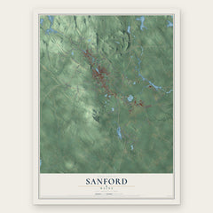
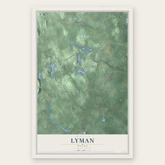
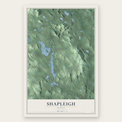
More maps nearby: West Kennebunk, Waterboro, Dayton, North Berwick and Arundel.
The art of mapping a place
How This Map Was Made
Real places. Remarkable detail. Discover the layers that turn geographic data into a map of home.

The view from above
Aerial imagery reveals the character of the land: woodland, open fields, and the patterns of a place.

The shape of the land
Elevation data brings hills, valleys, and subtle changes in the landscape into view.

The details of home
Roads, waterways, and building footprints come together to make the map feel unmistakably local.

Geography becomes art
Considered color, shading, and typography bring the layers together in a map made for your wall.


Process illustrated with Mendon, Massachusetts. Aerial imagery: USDA NAIP. Terrain: USGS 3D Elevation Program. Map details and finished artwork: KNOWOL.
The Details
About This Print
Choose an archival matte print, or a black or white Ayous wood frame. The archival matte print is unframed.
Select your size and finish above to see the matching product image and price.
Materials & Craftsmanship
A contemporary map with the character of a classic atlas, printed on archival matte paper. Optional frames are made from Ayous wood.
Your printed map does not include the watermark shown in the full-map preview.
Shipping & Delivery
Free shipping within the United States. Every print is made to order in the USA.
Buying a gift? Add a note in your cart and we'll include it. We never put prices in the package.
Prints ship within 2 to 3 business days. Allow 7 to 10 days total from ordering for delivery. Timing may vary during holidays or periods of high order volume.
Read our shipping policy.
Returns and damaged prints
Each print is made to order. Change-of-mind refunds are not available after production.
If your print arrives damaged, misprinted or incorrect, contact support@knowol.com within 30 days of receiving it. Include your order number, photos and a description of the issue.
Read our full refund and replacement policy. For questions about your order, email support@knowol.com.