
Search for another town


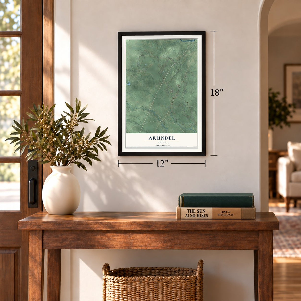
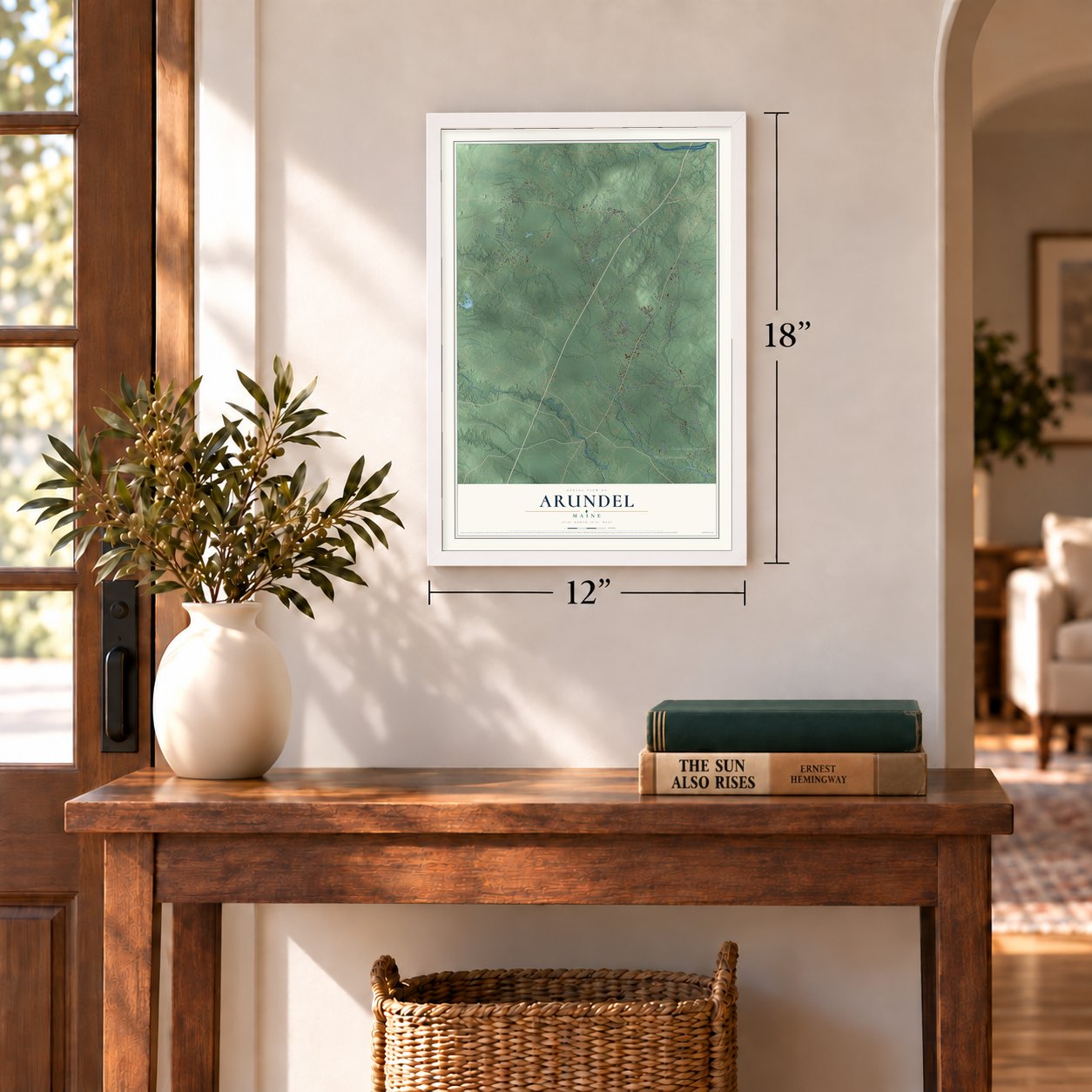
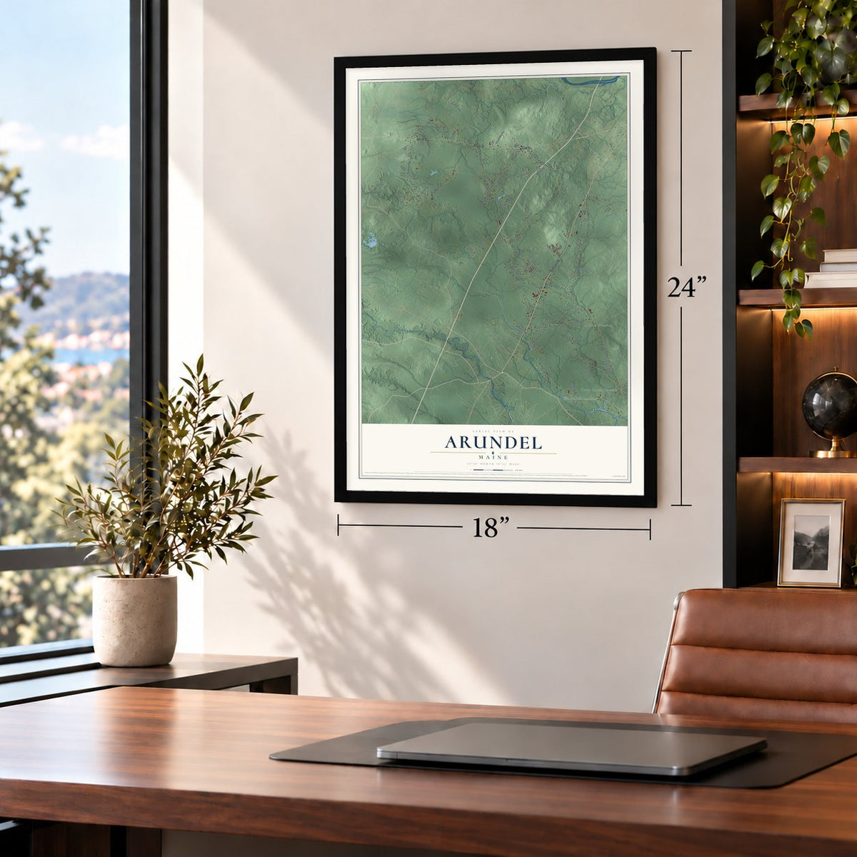
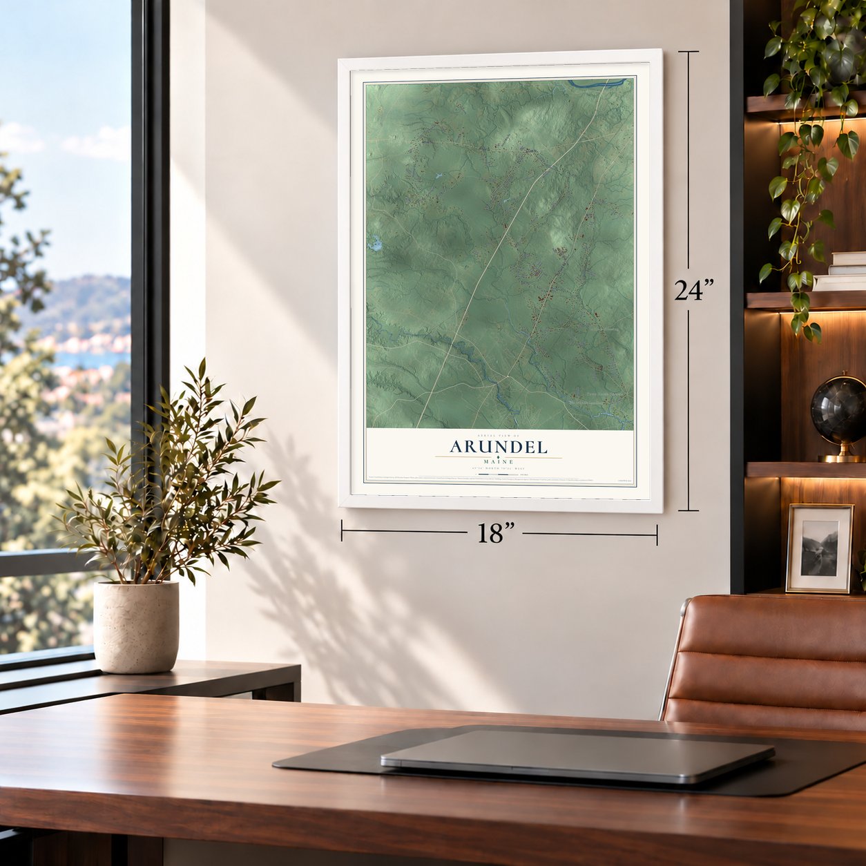
Free U.S. delivery 7 to 10 days after you order
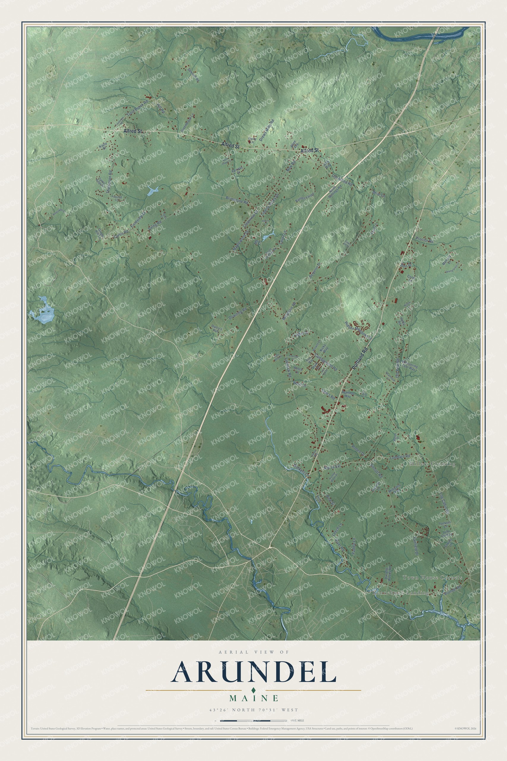
Arundel, Maine Map Art
Building by building, with labeled streets and shaded relief.
12" x 18" Archival Matte Print
A Map of Home. A Work of Art.
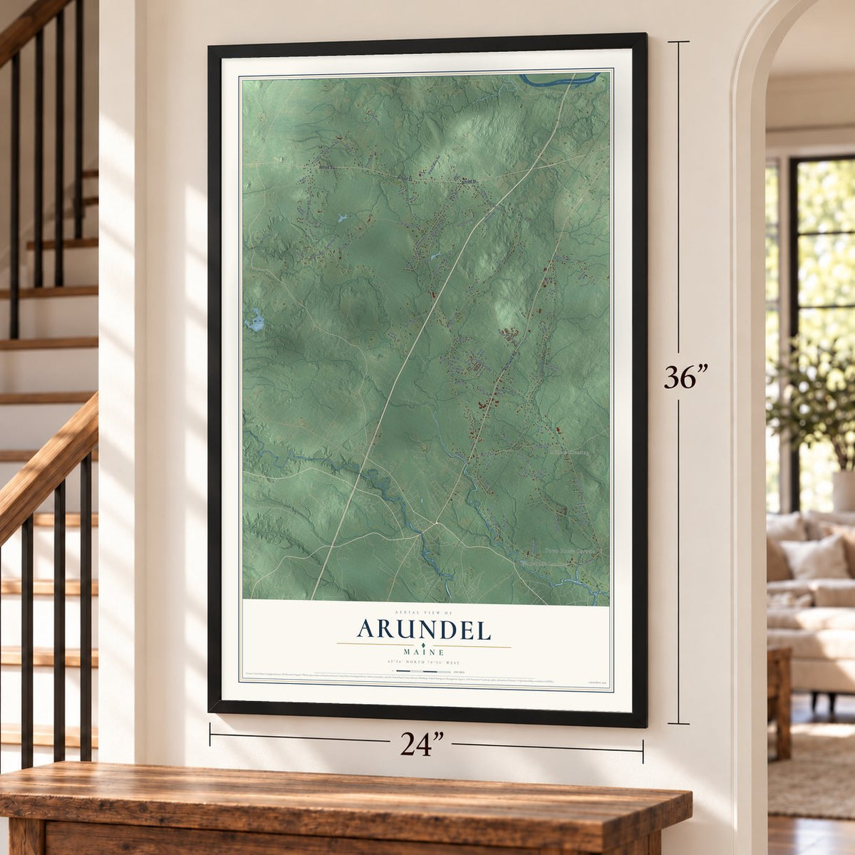
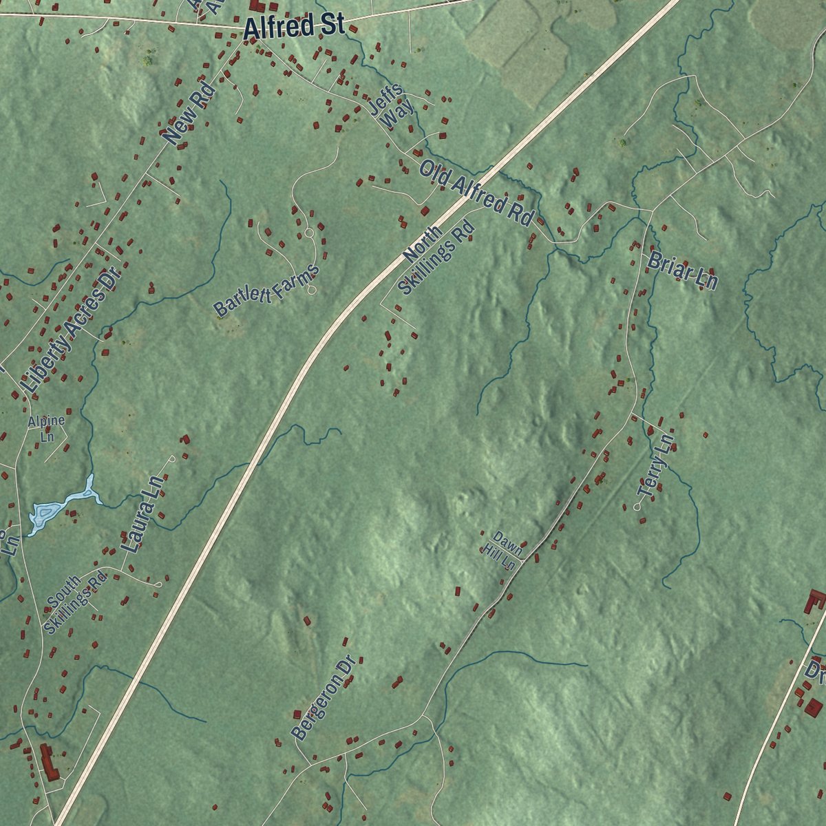
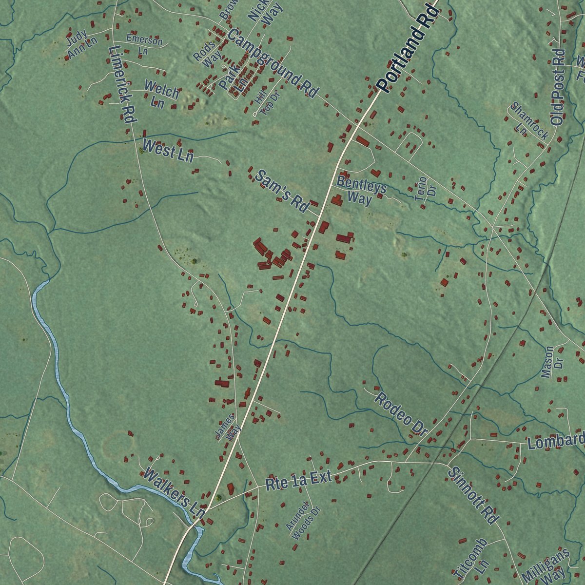
Explore Arundel, Maine from a whole new perspective. Created using aerial imagery and detailed geographic data, this map captures Arundel building by building, with labeled streets, familiar landmarks, and shaded topographical relief that highlights the natural contours of the landscape.
Combining modern data with the timeless character of a vintage atlas, this map is just as interesting up close as it is beautiful on the wall. Whether you grew up in Arundel, spent memorable years there, or call it home today, this unique map is a great way to celebrate a place that means something to you. Zoom in on the preview to look for your street, and then order a print to put your memories on the wall.
Three ways to hang it
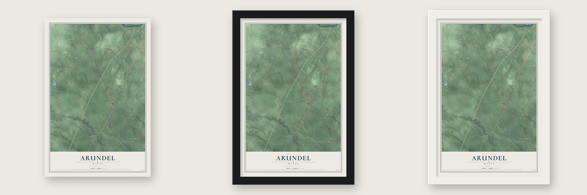
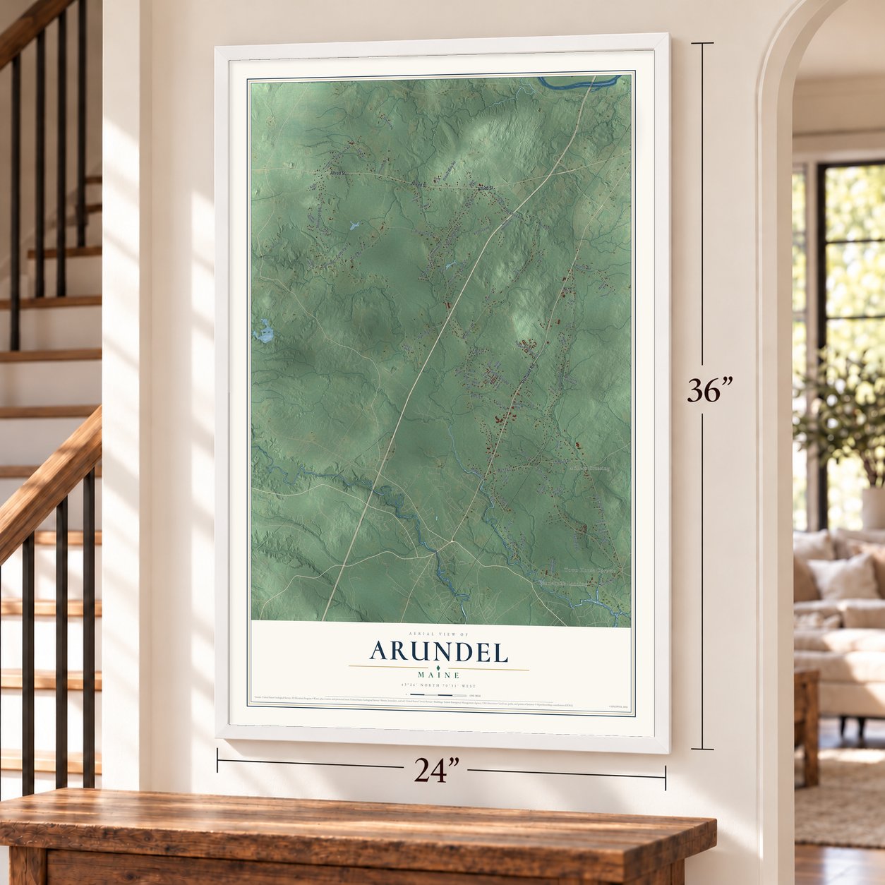
Unframed archival matte, a black wood frame or a white wood frame.
Up close
Geography Worth Displaying
This map was created using accurate cartographic data and authoritative geographic sources, including the U.S. Geological Survey (USGS) and FEMA. The map brings together terrain, waterways, roads, and building detail. The majority of the streets are labeled, houses are accurately depicted, and the topography is derived from government sources. Combining local data with carefully composed color and shading leads to this beautifully detailed Arundel artwork for your wall.
Rather than simply showing street outlines, we’ve included as many of the street names as we could reasonably fit on the map while keeping their names legible. Zoom in on the high resolution preview to see exactly what’s on the map. We truly set out to create a statement piece for anyone who loves Arundel. So whether it’s for you, or a gift for someone you love, we hope this map of Arundel brings back fond memories.
Explore the full map of Arundel, Maine and read about the local places it shows.
Find your street
Names on the Arundel map
Every name below is printed on this map. Look for your street, your school, the park where you played, or the pond down the road.
Places and landmarks3
- Town House Corners
- Millers Crossing
- Kennebunk Landing
Streets and roads89
- Portland Road
- Alfred Street
- Sinnott Road
- Log Cabin Road
- Curtis Road
- Limerick Road
- Old Post Road
- River Road
- Mountain Road
- Thompson Road
- Hidden Meadows Drive
- Old Alfred Road
- Downing Road
- Proctor Road
- New Road
- Hill Road
- Campground Road
- Irving Road
- Brimstone Road
- Clearview Drive
- Lombard Road
- Trout Brook Road
- Maplewood Drive
- Drews Mills Road
- Liberty Acres Drive
- Arundel Road
- Talbot Drive
- Laura Lane
- Fieldview Drive
- Paddle Lane
Show all 89 streets
- Fairfield Drive
- Walkers Lane
- West Lane
- Rodeo Drive
- Sam's Road
- Leech Lane
- Briar Lane
- Dmr Drive
- Pine Street
- Bartlett Farms
- North Skillings Road
- Dennett Road
- Whispering Fern Way
- Greenbrook Lane
- Bergeron Drive
- Sawyer Lane
- Milligans Way
- Durrells Woods Road
- Nicks Way
- Bentleys Way
- Dairy Lane
- Terry Lane
- John Cluff Lane
- Titcomb Lane
- Haley Road
- Park Lane
- Fairway Drive
- Ginger Hill Lane
- Kayla Drive
- Welch Lane
- Memory Lane
- Jeffs Way
- Tuckers Lane
- Allen Avenue
- Darcy's Run
- Coral Lane
- Mg Lane
- South Skillings Road
- Timber Ridge Drive
- Browns Lane
- Shamrock Lane
- Judy Ann Lane
- Foxcroft Lane
- Mason Drive
- Rods Way
- Smith Lane
- Terio Drive
- Troutbrook Road
- Bittersweet Drive
- Swamp Grass Lane
- Arundel Woods Drive
- Hill Top Drive
- Alpine Lane
- Emerson Lane
- North Chapel Lane
- Dawn Hill Lane
- Legros Lane
- Willow Lane
- James Way
Names are listed as they appear on the printed map. Zoom into the product photos to find them.
About Arundel, Maine
Arundel is a town of 4,264 people in York County, inland from the coast along the Kennebunk River. For generations its farms and crossroads belonged to Kennebunkport, and when the two split in 1915, the inland part became a town of its own under the name North Kennebunkport.
The name Arundel was older than the town. Kennebunkport had used it from 1701 until 1821, borrowing it from Arundel in West Sussex, England, before taking its present name. In 1957, after Kenneth Roberts had made the old town famous in his Chronicles of Arundel, the state legislature gave North Kennebunkport the name back, honoring Lord Arundel.
- Cape Porpoise in 1653The coastal town that once took in this land was first incorporated as Cape Porpoise in 1653. Fighting in the late 1600s and early 1700s drove its settlers away, and they came back to resettle it in 1719.
- Kenneth Roberts's ArundelRoberts, born in Kennebunk and later a Kennebunkport resident, published his novel Arundel in 1929. It follows people from the old town on Benedict Arnold's march to Quebec during the Revolution, and its sequel, Rabble in Arms, appeared in 1933. In 1957, two months before his death, Roberts received a special Pulitzer Prize citation honoring novels that had stirred interest in early American history for years.
- A fight for school choiceBefore joining RSU 21 with Kennebunk and Kennebunkport, Arundel paid tuition for students who picked Thornton Academy. The district challenged that option, and three years in court followed. The fight ended on July 18, 2019, when the Maine Supreme Judicial Court ruled that Arundel families could keep the Thornton Academy choice.
- Best Place to Live, 2014Downeast Magazine gave Arundel the title "Best Place to Live in Maine" in 2014. The town's motto is "Where People Matter."
Keep exploring Maine
Arundel is one of 536 Maine towns we've mapped. Every dot on the map is a print of its own.
The search covers every state, Maine first.
Near Arundel
Order 2 or more town maps and save 10%. Shown in the size and finish you picked above, so they hang as a set.
- West Kennebunk 12" x 18" / Archival Matte Print $39.99
- Kennebunk 12" x 18" / Archival Matte Print $39.99
- Biddeford 12" x 18" / Archival Matte Print $39.99

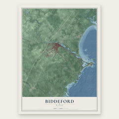
More maps nearby: Kennebunkport, Lyman, Dayton, Saco and Wells.
The art of mapping a place
How This Map Was Made
Real places. Remarkable detail. Discover the layers that turn geographic data into a map of home.

The view from above
Aerial imagery reveals the character of the land: woodland, open fields, and the patterns of a place.

The shape of the land
Elevation data brings hills, valleys, and subtle changes in the landscape into view.

The details of home
Roads, waterways, and building footprints come together to make the map feel unmistakably local.

Geography becomes art
Considered color, shading, and typography bring the layers together in a map made for your wall.


Process illustrated with Mendon, Massachusetts. Aerial imagery: USDA NAIP. Terrain: USGS 3D Elevation Program. Map details and finished artwork: KNOWOL.
The Details
About This Print
Choose an archival matte print, or a black or white Ayous wood frame. The archival matte print is unframed.
Select your size and finish above to see the matching product image and price.
Materials & Craftsmanship
A contemporary map with the character of a classic atlas, printed on archival matte paper. Optional frames are made from Ayous wood.
Your printed map does not include the watermark shown in the full-map preview.
Shipping & Delivery
Free shipping within the United States. Every print is made to order in the USA.
Buying a gift? Add a note in your cart and we'll include it. We never put prices in the package.
Prints ship within 2 to 3 business days. Allow 7 to 10 days total from ordering for delivery. Timing may vary during holidays or periods of high order volume.
Read our shipping policy.
Returns and damaged prints
Each print is made to order. Change-of-mind refunds are not available after production.
If your print arrives damaged, misprinted or incorrect, contact support@knowol.com within 30 days of receiving it. Include your order number, photos and a description of the issue.
Read our full refund and replacement policy. For questions about your order, email support@knowol.com.