
Search for another town


Free U.S. delivery 7 to 10 days after you order
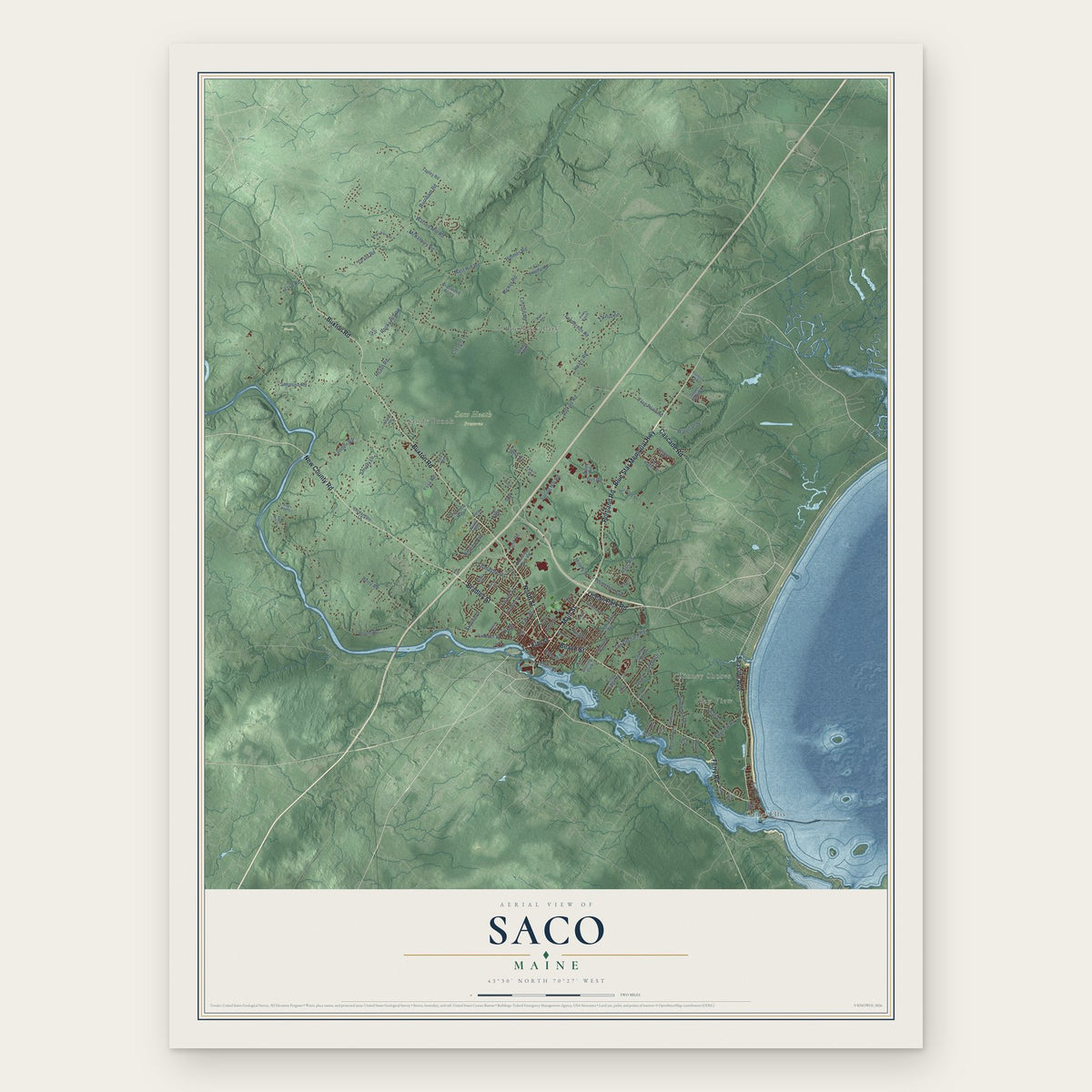
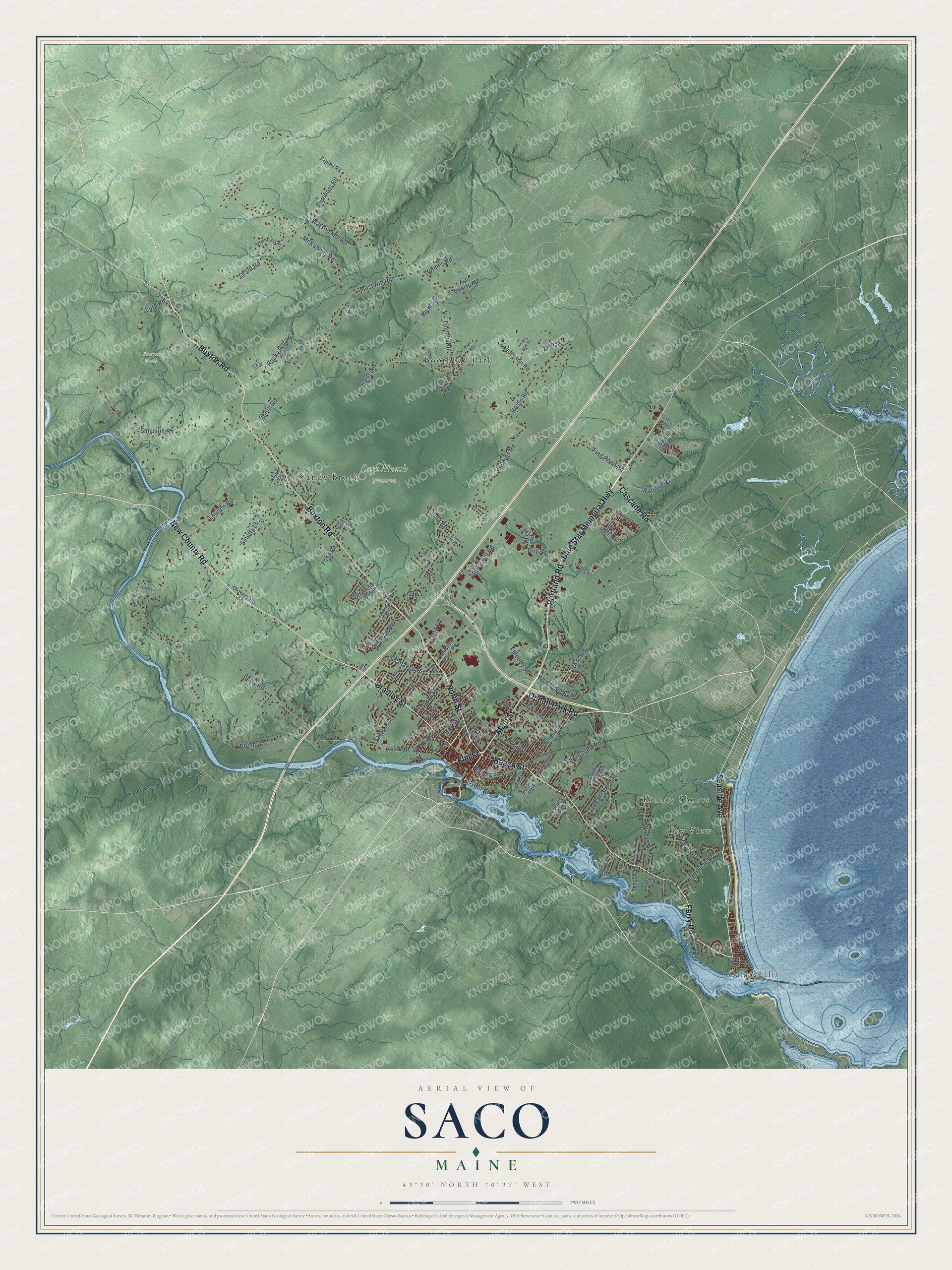
Saco, Maine Map Art
Building by building, with labeled streets and shaded relief.
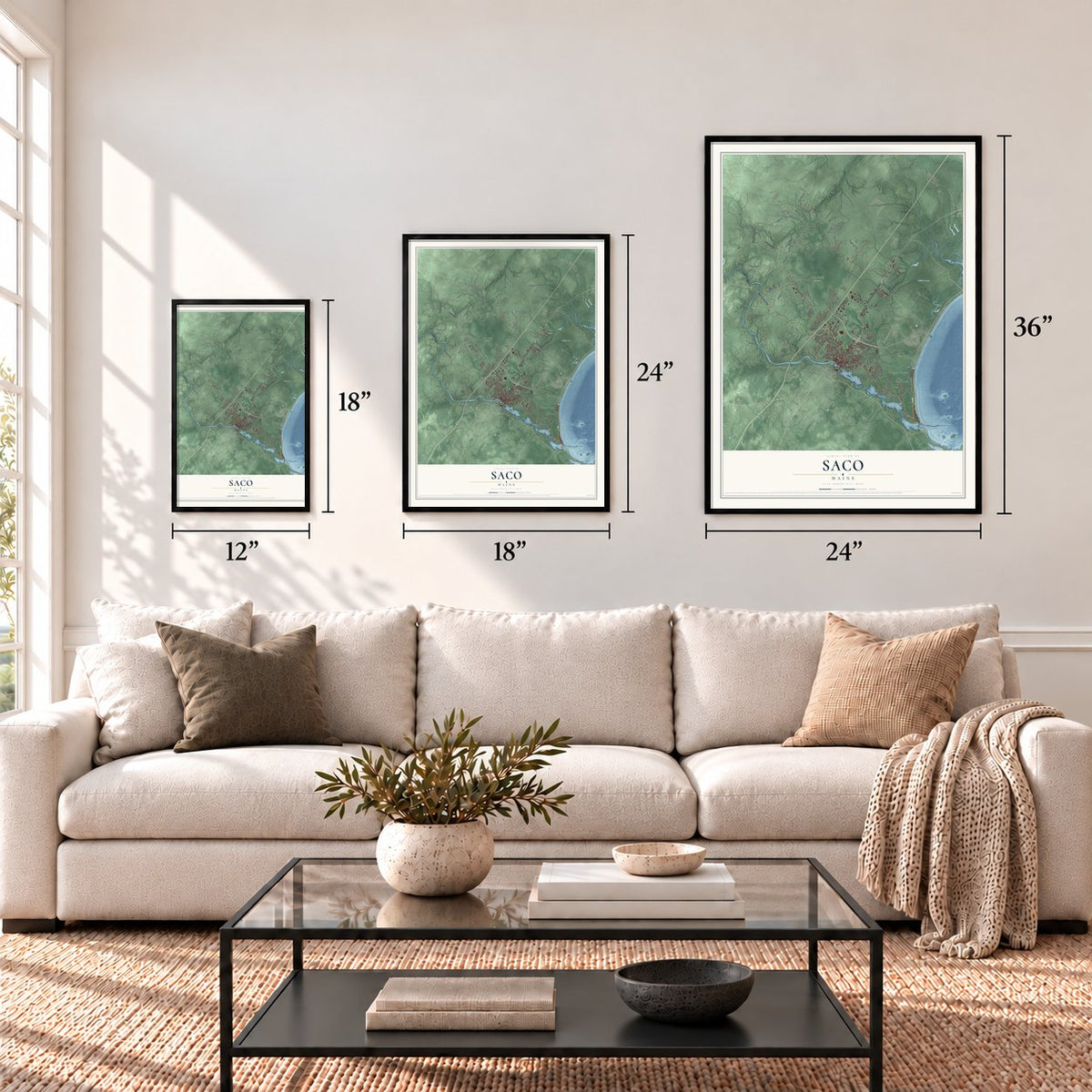
12" x 18" Archival Matte Print
A Map of Home. A Work of Art.
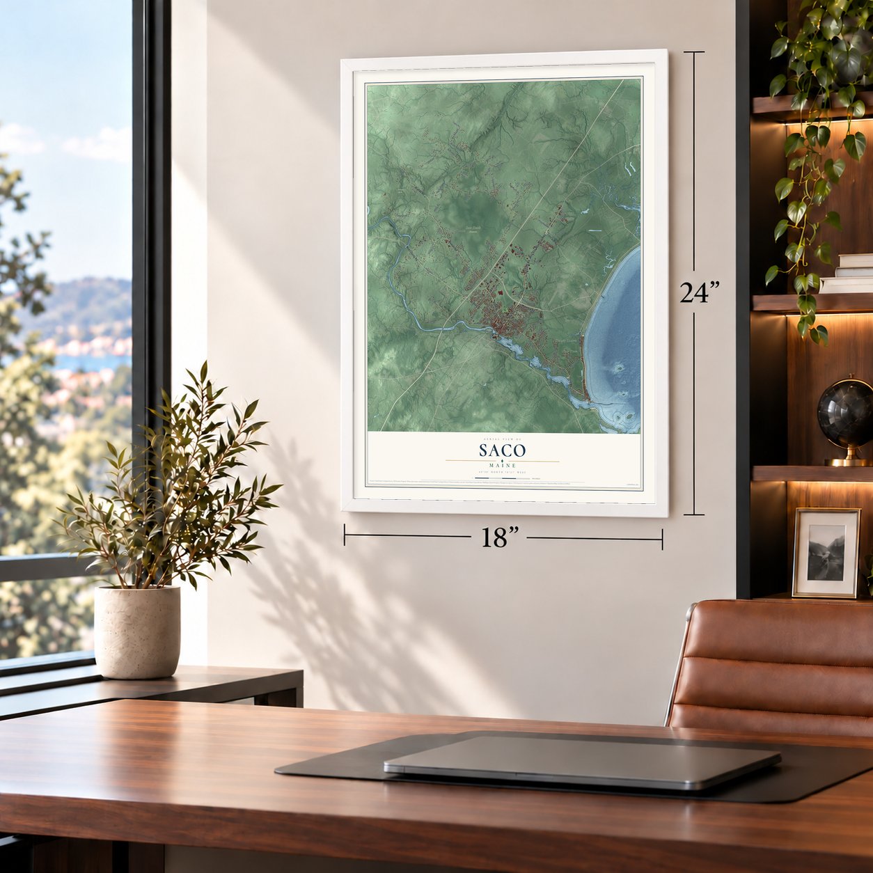
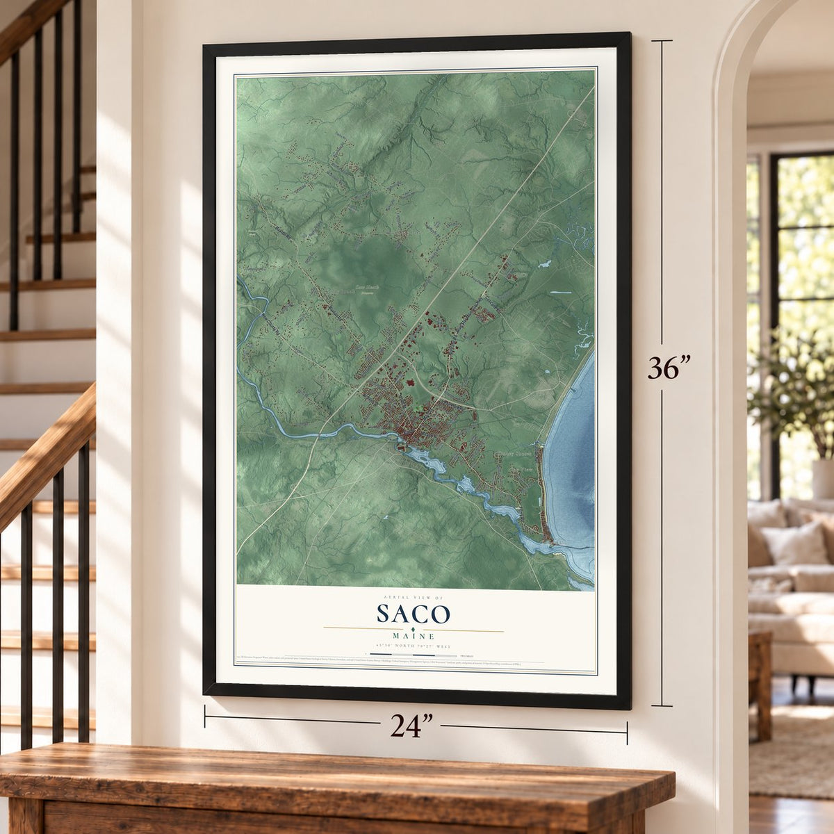
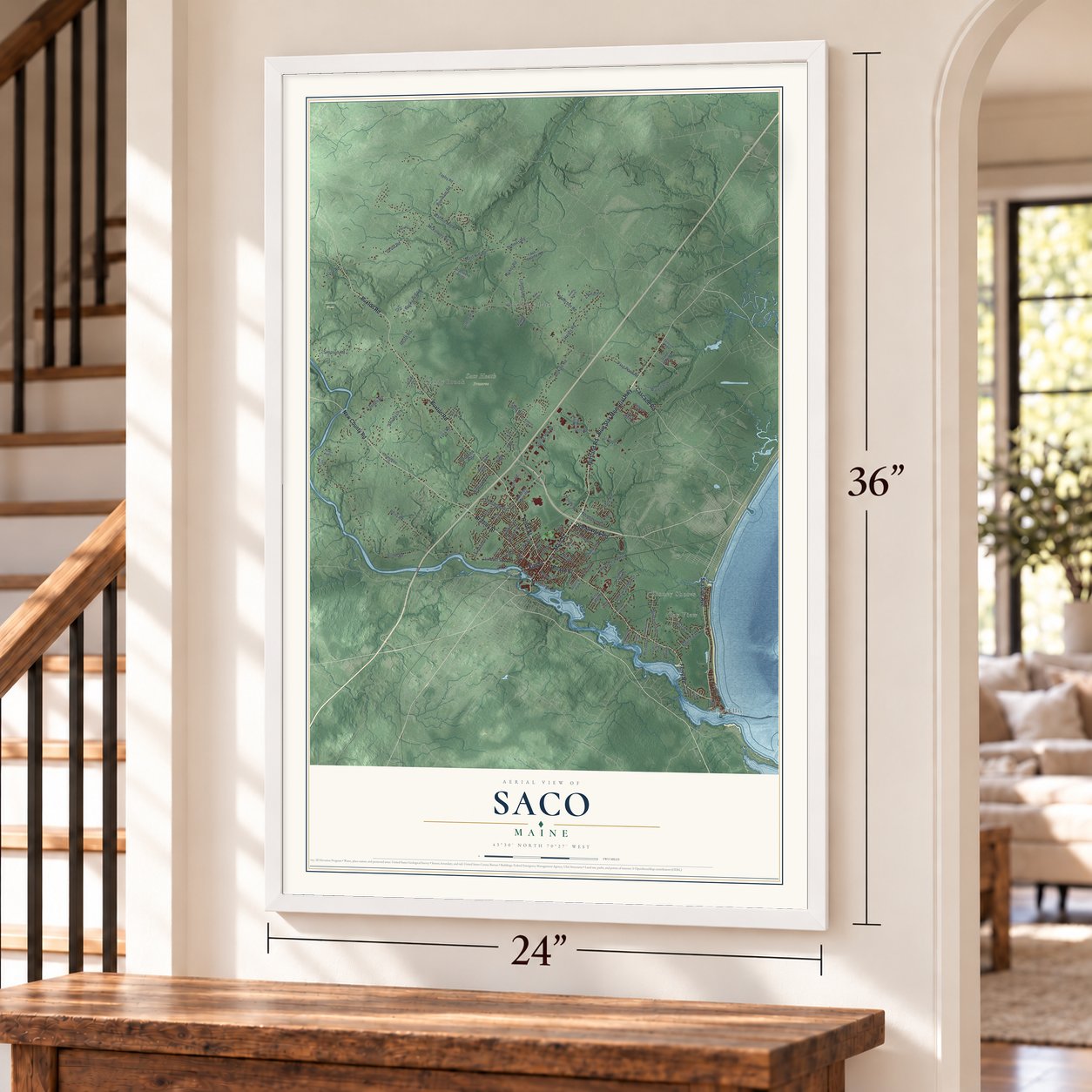
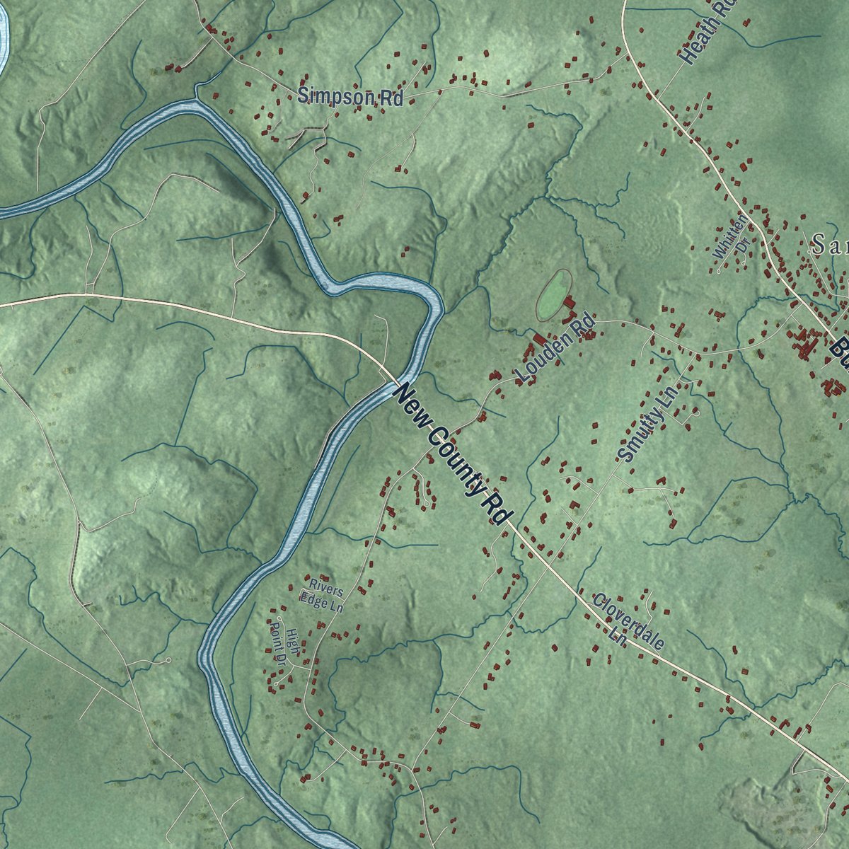
Explore Saco, Maine from a whole new perspective. Created using aerial imagery and detailed geographic data, this map captures Saco building by building, with labeled streets, familiar landmarks, and shaded topographical relief that highlights the natural contours of the landscape.
Combining modern data with the timeless character of a vintage atlas, this map is just as interesting up close as it is beautiful on the wall. Whether you grew up in Saco, spent memorable years there, or call it home today, this unique map is a great way to celebrate a place that means something to you. Zoom in on the preview to look for your street, and then order a print to put your memories on the wall.
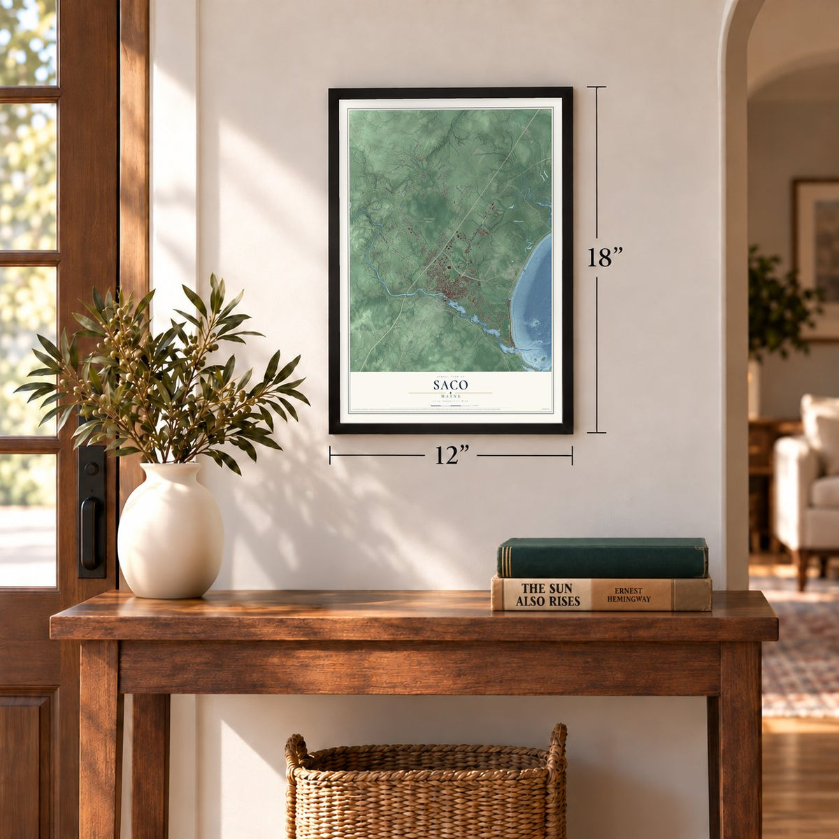
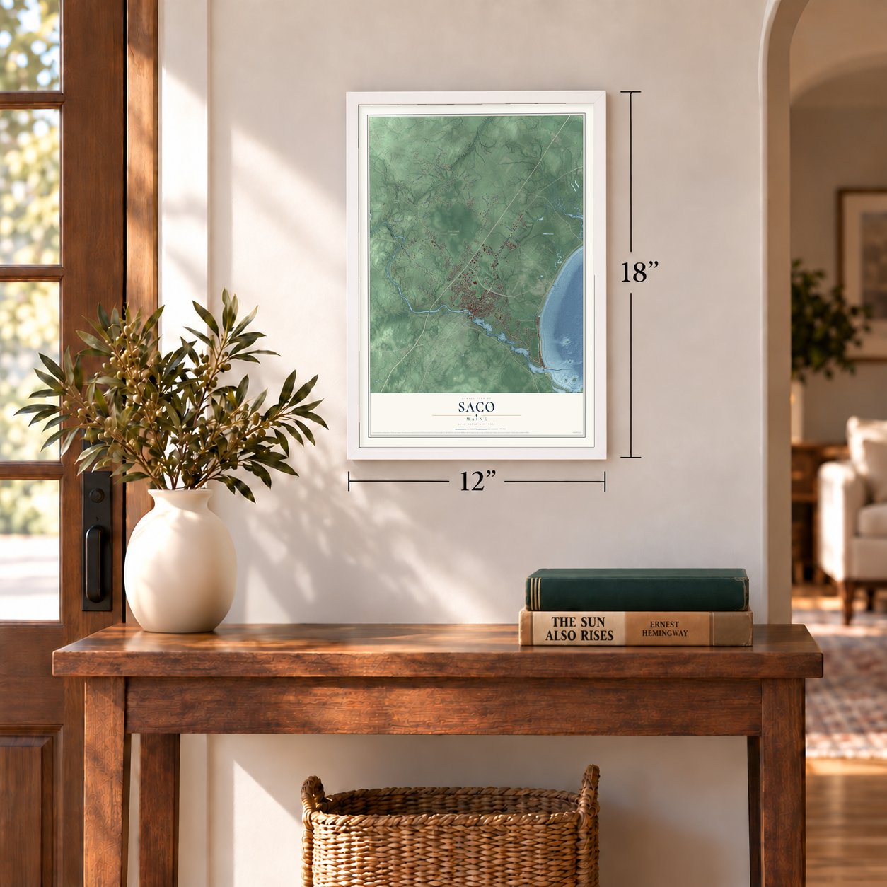
Three ways to hang it
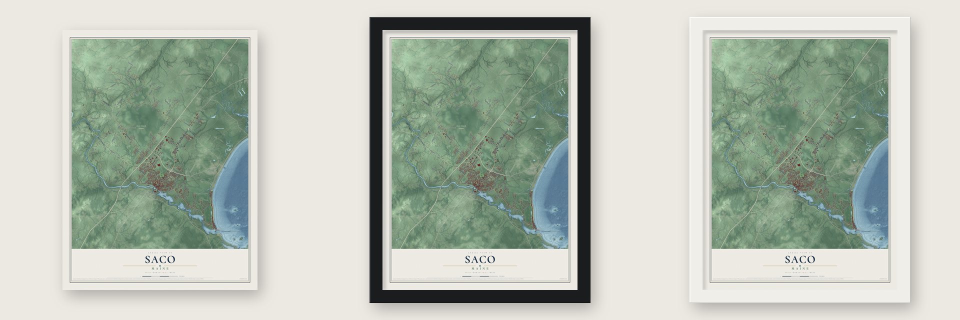
Unframed archival matte, a black wood frame or a white wood frame.
Up close
Geography Worth Displaying
This map was created using accurate cartographic data and authoritative geographic sources, including the U.S. Geological Survey (USGS) and FEMA. The map brings together terrain, waterways, roads, and building detail. The majority of the streets are labeled, houses are accurately depicted, and the topography is derived from government sources. Combining local data with carefully composed color and shading leads to this beautifully detailed Saco artwork for your wall.
Rather than simply showing street outlines, we’ve included as many of the street names as we could reasonably fit on the map while keeping their names legible. Zoom in on the high resolution preview to see exactly what’s on the map. We truly set out to create a statement piece for anyone who loves Saco. So whether it’s for you, or a gift for someone you love, we hope this map of Saco brings back fond memories.
Explore the full map of Saco, Maine and read about the local places it shows.
Find your street
Names on the Saco map
Every name below is printed on this map. Look for your street, your school, the park where you played, or the pond down the road.
Places and landmarks8
- Horton Woods
- Saco Heath Preserve
- Camp Ellis
- Kinney Shores
- Boothbay Park
- Sandy Brook
- Bay View
- Deering Park
Streets and roads119
- Blue Star Memorial Highway
- Main Street
- North Street
- Ocean Park Road
- Elm Street
- New County Road
- Bradley Street
- Ferry Road
- Beach Street
- Portland Road
- Seaside Avenue
- Buxton Road
- Cascade Road
- Ross Road
- Waterfall Drive
- Spring Hill Road
- Boom Road
- Flag Pond Road
- Jenkins Road
- Simpson Road
- Heath Road
- McKenney Road
- Watson Mill Road
- Smutty Lane
- Grant Road
- Louden Road
- Rocky Hill Road
- Hearn Road
- Berry Road
- Lincoln Road
Show all 119 streets
- Shadagee Road
- Woodman Avenue
- Ricker Road
- Lincoln Street
- Burnham Road
- Old Orchard Road
- Mast Hill Road
- Hillview Avenue
- Ocean Greens Drive
- Bayview Road
- Dirt Road
- Wildwood Drive
- Lund Road
- Surf Street
- Fenderson Road
- Shari Lane
- Tasker Street
- Lord Road
- Foss Road
- King Street
- Zachary Lane
- Moody Street
- Sofia Road
- Front Street
- Cresent Lane
- Holmes Road
- Skyline Drive
- School Street
- Hill Street
- Park Street
- Industrial Park Road
- Cumberland Avenue
- Pine Haven Street
- Tapley Road
- Franklin Street
- Ash Swamp Road
- Chantelle Way
- Willey Road
- Pine Ridge Road
- Cloverdale Lane
- Meadow Lane
- Dawn Marie Drive
- Country Club Drive
- Graceland Acres
- Union Street
- Lewis Lane
- Ryan Road
- Cori Drive
- Spring Road
- Lily Lane
- Ferry Lane
- Pheasant Road
- Smith Lane
- Stockman Avenue
- Mill Brook Road
- Wendy Way
- Forest Street
- Park Road
- Aspen Drive
- Scrimshaw Lane
- Glenwood Avenue
- Whitten Drive
- Paul Avenue
- Rotary Drive
- Eastview Parkway
- Dyer Street
- West Avenue
- Camire Drive
- Nott Street
- Stone Street
- Pine Street
- Garfield Street
- Buxton Brook Road
- Trailside Circle
- Rivers Edge Lane
- High Point Drive
- Summer Street
- Hall Avenue
- Knotty Pine Drive
- Glenhaven Circle West
- Water Street
- Richard's Way
- Steeple Drive
- Windy Point Lane
- Lyman Avenue
- Tiffany Lane
- Lina Avenue
- Irving Street
- River Lane
Names are listed as they appear on the printed map. Zoom into the product photos to find them.
About Saco, Maine
Saco is a city of 20,381 people in York County, where the Saco River meets Saco Bay. Abenaki families already had homes and planted fields at the river's mouth when Europeans arrived in the early 1600s. In 1630 the Plymouth Company gave Thomas Lewis and Richard Bonython a charter for a town here, and settlement began in 1631. Ferdinando Gorges ran his government of Maine from the town between 1636 and 1653, and in 1653 the Massachusetts General Court reorganized it as Saco.
Saco sat on contested ground between New England and New France, and the French enlisted Native allies against the English settlers. Raiders burned the town's houses and mills in 1675, during King Philip's War, and struck again in 1689 and 1723. The rebuilt town was incorporated as Biddeford in 1718. In 1762 its northeast bank broke away as Pepperrellborough, named for Sir William Pepperrell, the hero of Louisburg. Residents found that name awkward, so in 1805 they renamed their town Saco, and it became a city in 1867.
- 17 sawmills at Saco FallsLoggers floated timber down the river from Little Falls Plantation, a tract later divided into Dayton, Lyman and Hollis, with a share going to Limington. The logs reached Saco Falls, where 17 sawmills cut them, and in 1827 the town turned out 21,000,000 feet of lumber, some of it for shipbuilding.
- The mills of Factory IslandThe Saco Iron Works opened on Factory Island in 1811, and the Saco Manufacturing Company built a cotton mill there in 1826, cutting a canal through rock for water power. That mill burned in 1830, and the York Manufacturing Company replaced it in 1831. After the Portland, Saco and Portsmouth Railroad arrived in 1842, brick textile mills lined the waterfront. The textile trade faded, and York Manufacturing closed in 1958.
- Amos Chase, pioneer and deaconAmos Chase was among the first settlers of Pepperrellborough. Voters made him a selectman at the first town meeting, and he became the first deacon of the Congregational Church. He was one of the area's largest taxpayers, and he served on its Committee of Correspondence and its Committee of Inspection during the Revolution.
- Laurel Hill Cemetery, 1844Laurel Hill Cemetery opened in 1844 on 25 acres of land and is still in use. It ranks among the earliest cemeteries laid out in the rural cemetery movement.
- The jetty at Camp EllisIn the 1860s the Army Corps of Engineers built a jetty at the mouth of the Saco River. It cut off the sand that had fed the Camp Ellis beaches, and that shore has been wearing away ever since, made worse by rising seas.
Keep exploring Maine
Saco is one of 536 Maine towns we've mapped. Every dot on the map is a print of its own.
The search covers every state, Maine first.
Near Saco
Order 2 or more town maps and save 10%. Shown in the size and finish you picked above, so they hang as a set.
- Old Orchard Beach 12" x 18" / Archival Matte Print $39.99
- Dunstan 12" x 18" / Archival Matte Print $39.99
- Blue Point 12" x 18" / Archival Matte Print $39.99


More maps nearby: Scarborough, Oak Hill, Biddeford, Eight Corners and Pleasant Hill.
The art of mapping a place
How This Map Was Made
Real places. Remarkable detail. Discover the layers that turn geographic data into a map of home.

The view from above
Aerial imagery reveals the character of the land: woodland, open fields, and the patterns of a place.

The shape of the land
Elevation data brings hills, valleys, and subtle changes in the landscape into view.

The details of home
Roads, waterways, and building footprints come together to make the map feel unmistakably local.

Geography becomes art
Considered color, shading, and typography bring the layers together in a map made for your wall.


Process illustrated with Mendon, Massachusetts. Aerial imagery: USDA NAIP. Terrain: USGS 3D Elevation Program. Map details and finished artwork: KNOWOL.
The Details
About This Print
Choose an archival matte print, or a black or white Ayous wood frame. The archival matte print is unframed.
Select your size and finish above to see the matching product image and price.
Materials & Craftsmanship
A contemporary map with the character of a classic atlas, printed on archival matte paper. Optional frames are made from Ayous wood.
Your printed map does not include the watermark shown in the full-map preview.
Shipping & Delivery
Free shipping within the United States. Every print is made to order in the USA.
Buying a gift? Add a note in your cart and we'll include it. We never put prices in the package.
Prints ship within 2 to 3 business days. Allow 7 to 10 days total from ordering for delivery. Timing may vary during holidays or periods of high order volume.
Read our shipping policy.
Returns and damaged prints
Each print is made to order. Change-of-mind refunds are not available after production.
If your print arrives damaged, misprinted or incorrect, contact support@knowol.com within 30 days of receiving it. Include your order number, photos and a description of the issue.
Read our full refund and replacement policy. For questions about your order, email support@knowol.com.