
Search for another town

Free U.S. delivery 7 to 10 days after you order
Biddeford, Maine Map Art
Building by building, with labeled streets and shaded relief.
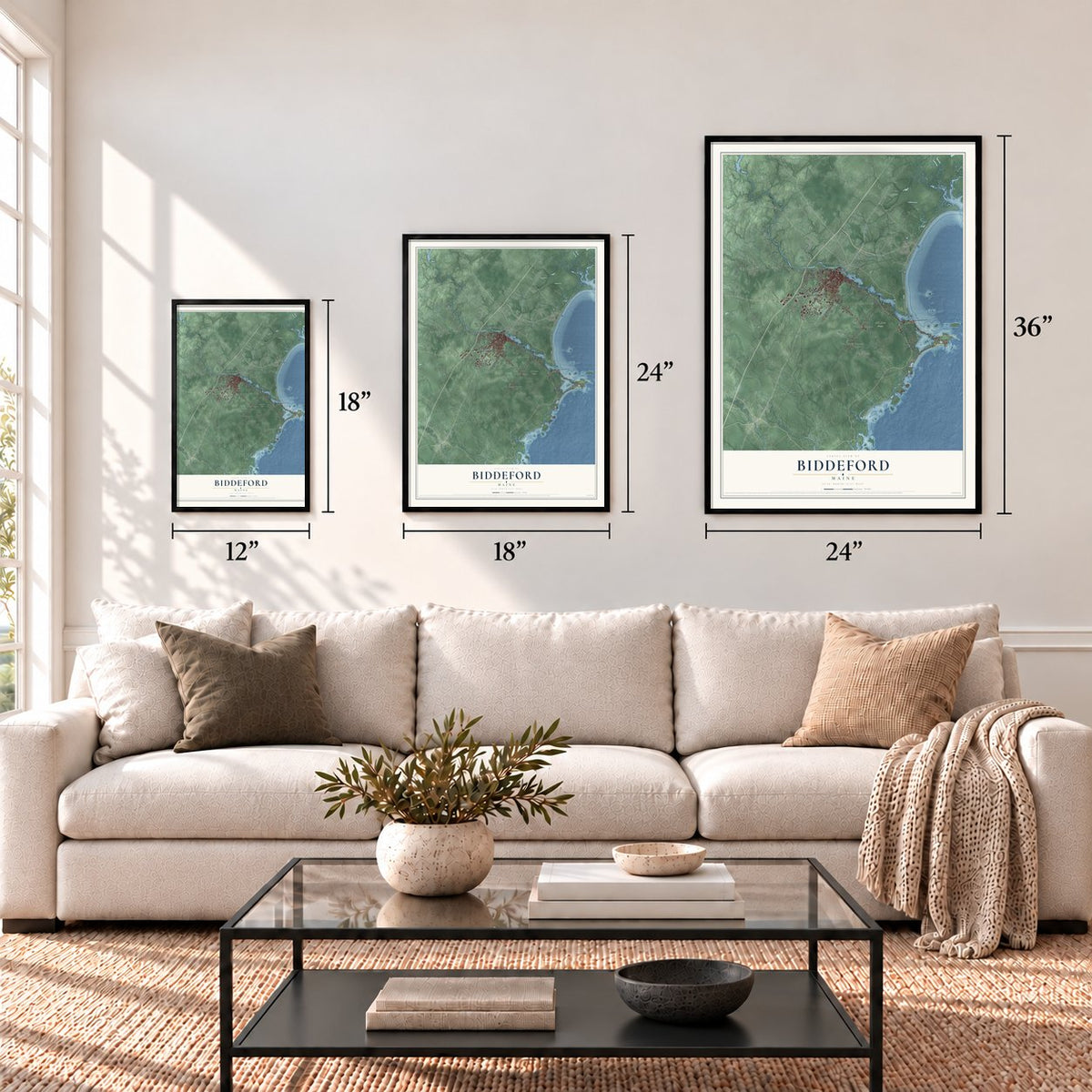
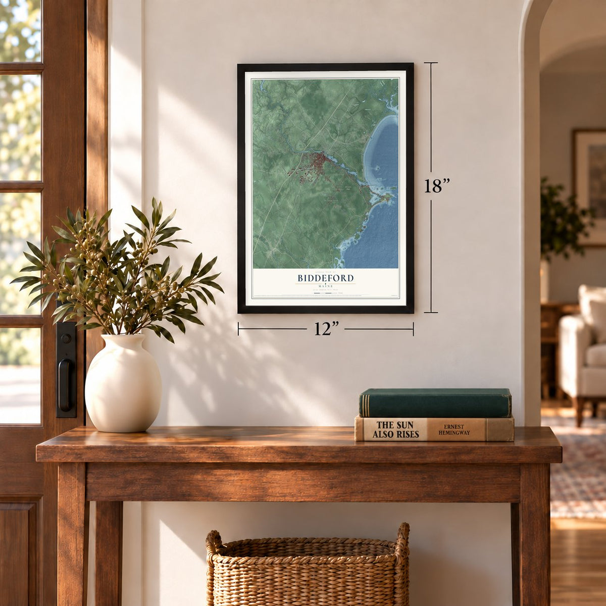
12" x 18" Archival Matte Print
A Map of Home. A Work of Art.
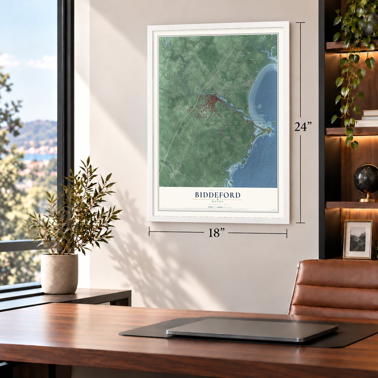
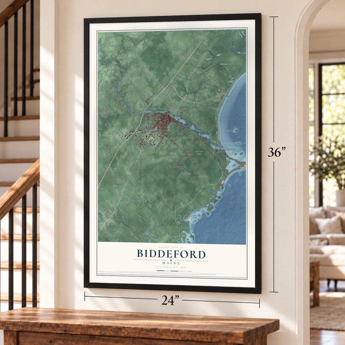
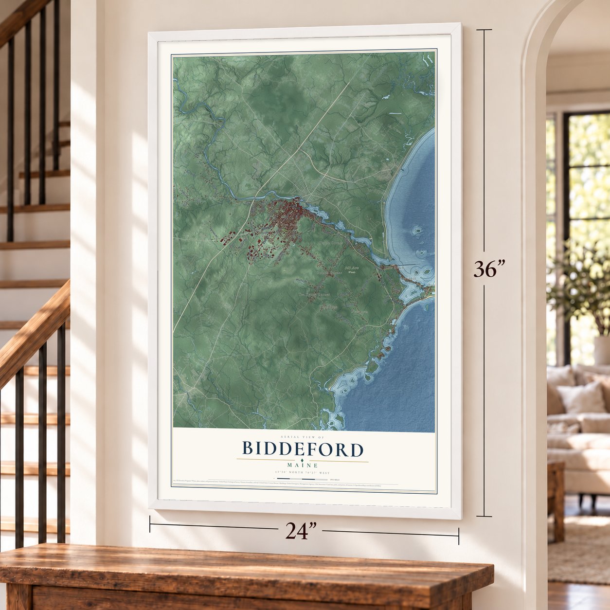
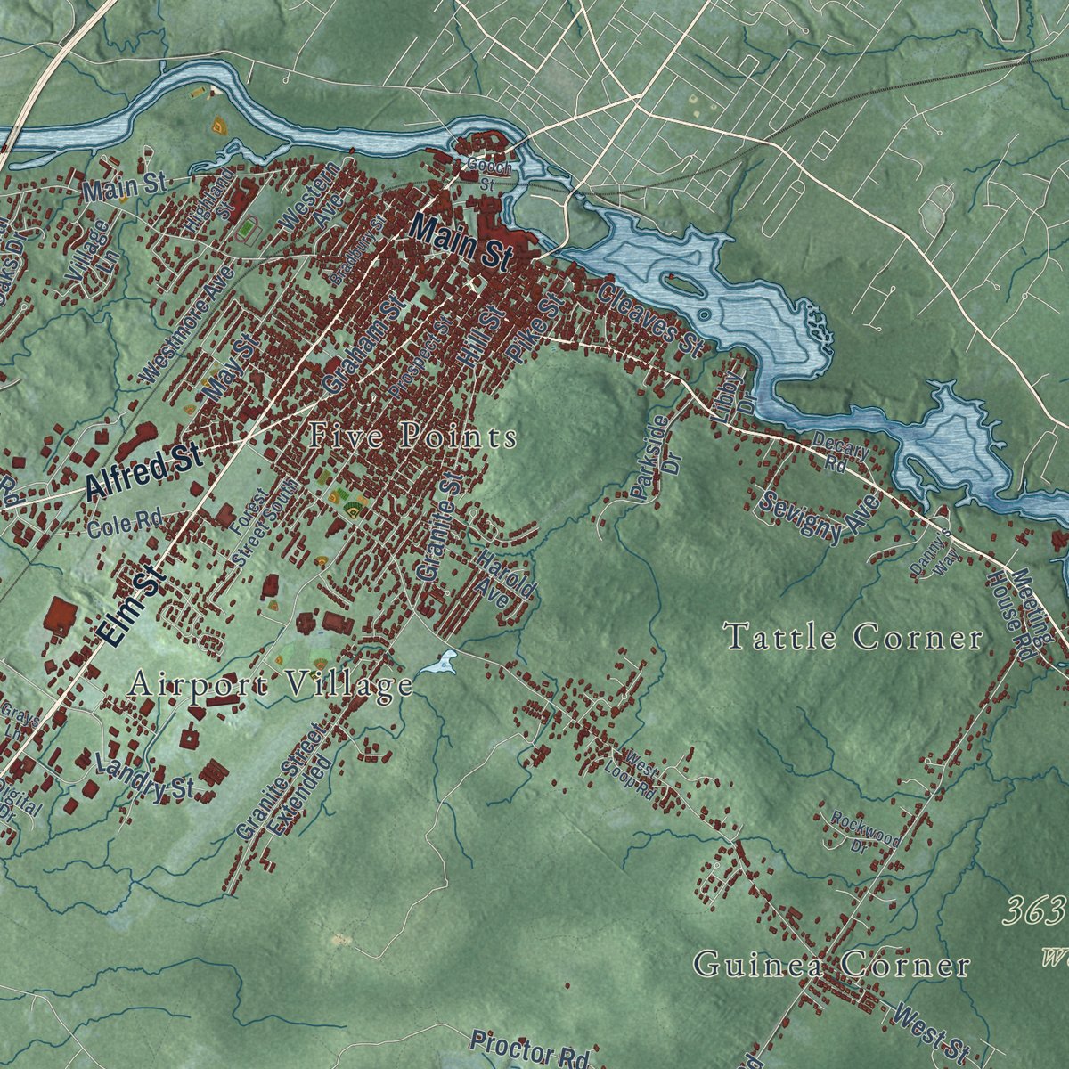
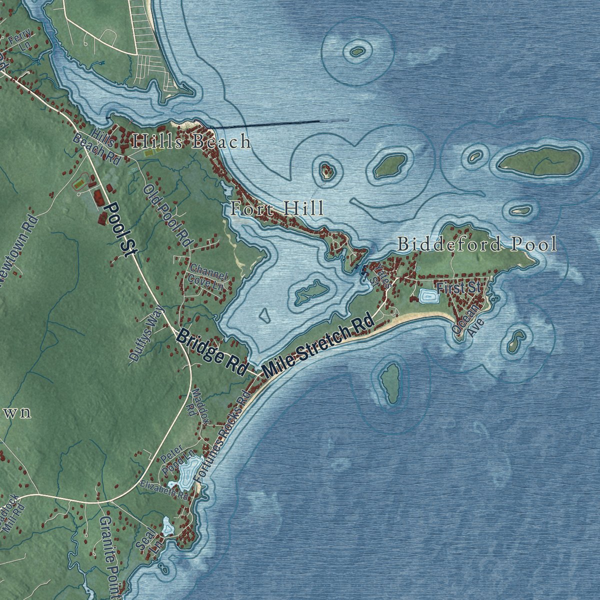
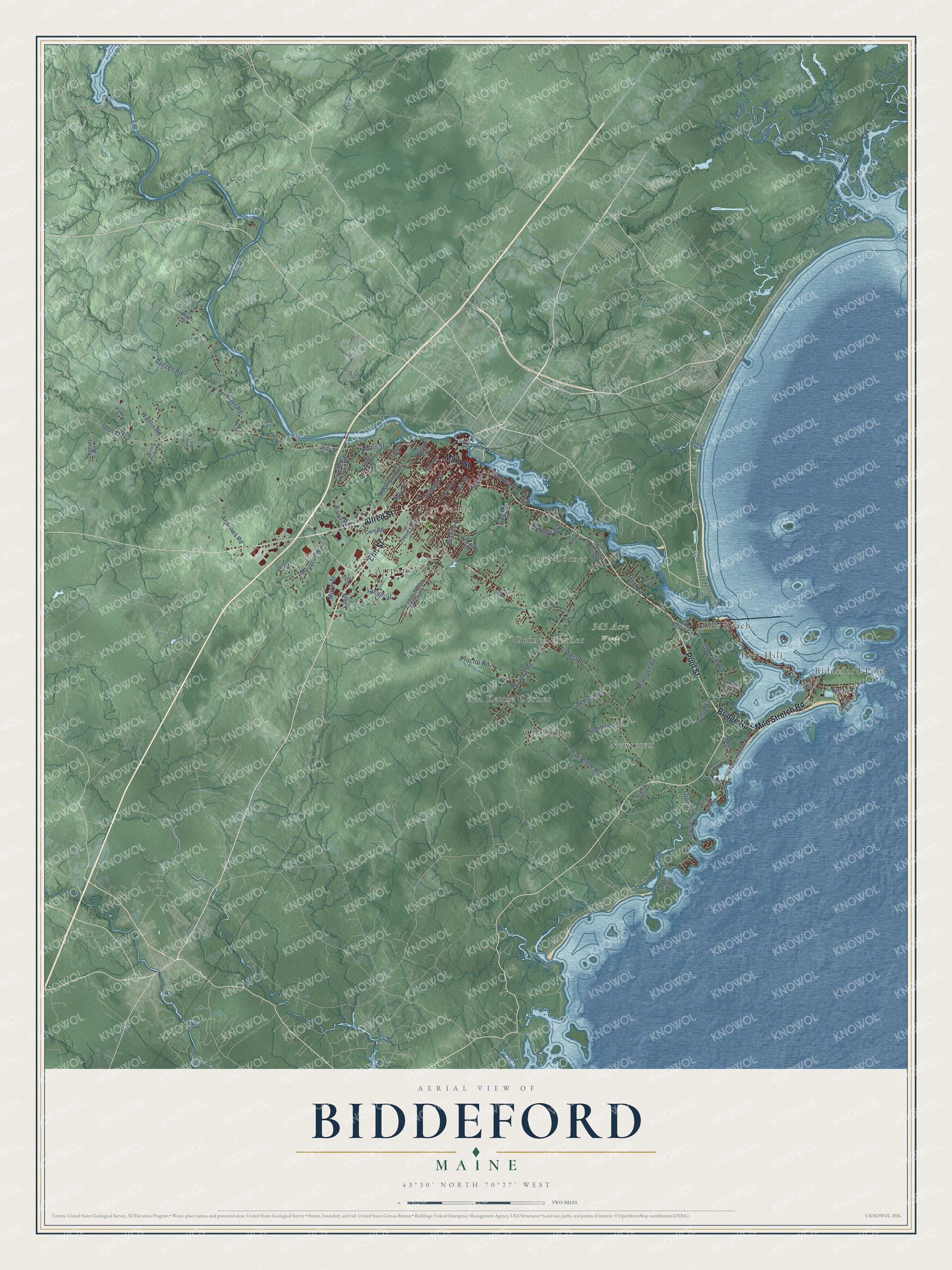
Explore Biddeford, Maine from a whole new perspective. Created using aerial imagery and detailed geographic data, this map captures Biddeford building by building, with labeled streets, familiar landmarks, and shaded topographical relief that highlights the natural contours of the landscape.
Combining modern data with the timeless character of a vintage atlas, this map is just as interesting up close as it is beautiful on the wall. Whether you grew up in Biddeford, spent memorable years there, or call it home today, this unique map is a great way to celebrate a place that means something to you. Zoom in on the preview to look for your street, and then order a print to put your memories on the wall.
Three ways to hang it
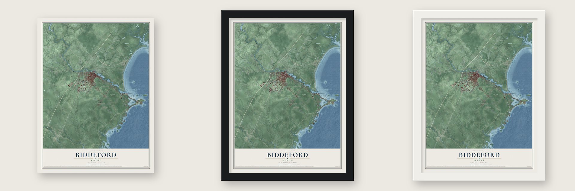
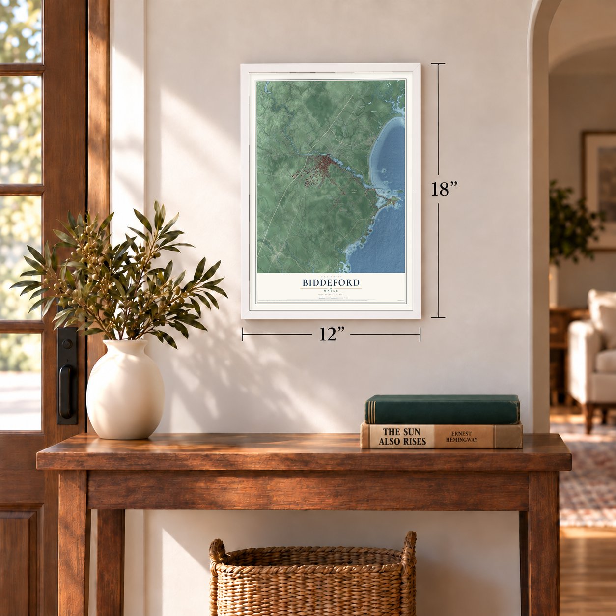
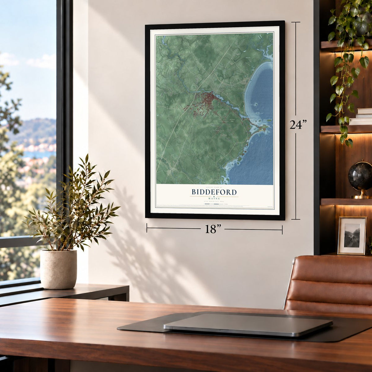
Unframed archival matte, a black wood frame or a white wood frame.
Up close
Geography Worth Displaying
This map was created using accurate cartographic data and authoritative geographic sources, including the U.S. Geological Survey (USGS) and FEMA. The map brings together terrain, waterways, roads, and building detail. The majority of the streets are labeled, houses are accurately depicted, and the topography is derived from government sources. Combining local data with carefully composed color and shading leads to this beautifully detailed Biddeford artwork for your wall.
Rather than simply showing street outlines, we’ve included as many of the street names as we could reasonably fit on the map while keeping their names legible. Zoom in on the high resolution preview to see exactly what’s on the map. We truly set out to create a statement piece for anyone who loves Biddeford. So whether it’s for you, or a gift for someone you love, we hope this map of Biddeford brings back fond memories.
Explore the full map of Biddeford, Maine and read about the local places it shows.

Find your street
Names on the Biddeford map
Every name below is printed on this map. Look for your street, your school, the park where you played, or the pond down the road.
Places and landmarks11
- 363 Acre Woods
- Airport Village
- Biddeford Pool
- Oak Ridge
- Five Points
- Hills Beach
- Tattle Corner
- Newtown
- Guinea Corner
- Fort Hill
- Tea Kettle Corner
Streets and roads75
- Elm Street
- Main Street
- Mile Stretch Road
- Pool Street
- Alfred Street
- Bridge Road
- West Street
- South Street
- Guinea Road
- Hill Street
- Oak Ridge Road
- River Road
- Old Pool Road
- Proctor Road
- Granite Point Road
- Newtown Road
- Buzzell Road
- Andrews Road
- Granite Street
- Mountain Road
- Wadlin Road
- May Street
- Landry Street
- Morin Street
- Barra Road
- Graham Street
- Pool Road
- Cleaves Street
- Sevigny Avenue
- Benson Road
Show all 75 streets
- First Street
- Pike Street
- Fortunes Rocks Road
- Hills Beach Road
- Granite Street Extended
- Timber Point
- Parkside Drive
- Meeting House Road
- Smithfield Lane
- Cathedral Oaks Drive
- Ocean Avenue
- Westmore Avenue
- Cole Road
- Western Avenue
- Duffys Way
- Harold Avenue
- Village Lane
- Dennett Road
- Jessie Lane
- Libby Drive
- Seal Lane
- Prospect Street
- Forest Street South
- Peter Pond Lane
- Scadlock Mill Road
- Maddox Road
- Decary Road
- Channel Cove Lane
- Old Hollis Road
- Prince Phillip Drive
- Highland Street
- Ferry Lane
- Digital Drive
- Yates Street
- Murch Road
- Daisy Lane
- Elizabeth Road
- Bradbury Street
- Rockwood Drive
- West Loop Road
- Country Drive
- Danny's Way
- Gooch Street
- Labbe Lane
- Grays Lane
Names are listed as they appear on the printed map. Zoom into the product photos to find them.
About Biddeford, Maine
Biddeford is a city of 22,552 people in York County, where the Saco River reaches Saco Bay. Its European story began in the winter of 1616 and 1617, when the physician Richard Vines stayed at a harbor he named Winter Harbor, known today as Biddeford Pool. In 1630 the Plymouth Company gave Vines and John Oldham the territory on the river's south side, and in 1653 Massachusetts made the settlement on both banks a town called Saco.
That year Roger Spencer got permission to put up the first sawmill, and the town lived on lumber and fish. Wars with Native Americans brought decades of danger, as homes and mills at the falls were burned and settlers fled to Winter Harbor for safety. In 1703 a stone fort built in 1693 was reportedly captured, with 11 colonists killed and 24 carried off to Canada. The town was renamed Biddeford in 1718, after Bideford in Devon, England, and the fighting ended after Quebec fell in 1759.
- Mills on a 40-foot dropAt Biddeford the Saco splits around two falls with a 40-foot drop, and that power first ran lumber and grain mills. The Laconia Company built in 1845 and the Pepperell Company in 1850, and Biddeford became a city in 1855. Irish, Albanian and French-Canadian workers filled mills that employed up to 12,000. The last Saco log drive came in 1943, and WestPoint Home, the last textile company, closed in 2009. Its buildings now hold housing and businesses.
- An opera house in City HallAfter the old city building burned late in 1894, John Calvin Stevens designed Biddeford City Hall at 205 Main Street to replace it, with a theater in the Colonial Revival style inside. The theater reopened on January 20, 1896, and vaudeville acts played there. Now named City Theater, it seats nearly 500 and stages plays, concerts and comedy through the year.
- A meetinghouse from 1758The master builder Nathaniel Perkins raised the First Parish Meetinghouse on Old Pool Road in 1758, and it is the oldest public building in the city. Even older is the John Tarr House, built about 1730 at the end of Ferry Lane looking out on the Saco, and counted among the oldest houses in Maine.
- Guarding Biddeford PoolWood Island Light went up about a mile off the Pool in 1808, making it Maine's second-oldest lighthouse. The Fletcher's Neck Lifesaving Station opened in 1874 and sent out crews until 1971. During World War II the Army ran the Biddeford Pool Military Reservation from 1942 to 1945 on ground that is now the Abenakee Golf Club, with four concrete Panama mounts for 155-mm guns. Three of those mounts are still there.
- French-Canadian BiddefordFrench-Canadian Catholic families from Quebec built Saint Joseph's Church on Elm Street, dedicated in 1883, and it is the tallest building in Maine. Since 1982 the city has honored that heritage every year at La Kermesse, a festival of live music and fireworks whose mascot is a green frog.
Keep exploring Maine
Biddeford is one of 536 Maine towns we've mapped. Every dot on the map is a print of its own.
The search covers every state, Maine first.
Near Biddeford
Order 2 or more town maps and save 10%. Shown in the size and finish you picked above, so they hang as a set.
- Kennebunkport 12" x 18" / Archival Matte Print $39.99
- Saco 12" x 18" / Archival Matte Print $39.99
- Arundel 12" x 18" / Archival Matte Print $39.99


More maps nearby: Old Orchard Beach, Blue Point, Dunstan, Kennebunk and West Kennebunk.
The art of mapping a place
How This Map Was Made
Real places. Remarkable detail. Discover the layers that turn geographic data into a map of home.

The view from above
Aerial imagery reveals the character of the land: woodland, open fields, and the patterns of a place.

The shape of the land
Elevation data brings hills, valleys, and subtle changes in the landscape into view.

The details of home
Roads, waterways, and building footprints come together to make the map feel unmistakably local.

Geography becomes art
Considered color, shading, and typography bring the layers together in a map made for your wall.


Process illustrated with Mendon, Massachusetts. Aerial imagery: USDA NAIP. Terrain: USGS 3D Elevation Program. Map details and finished artwork: KNOWOL.
The Details
About This Print
Choose an archival matte print, or a black or white Ayous wood frame. The archival matte print is unframed.
Select your size and finish above to see the matching product image and price.
Materials & Craftsmanship
A contemporary map with the character of a classic atlas, printed on archival matte paper. Optional frames are made from Ayous wood.
Your printed map does not include the watermark shown in the full-map preview.
Shipping & Delivery
Free shipping within the United States. Every print is made to order in the USA.
Buying a gift? Add a note in your cart and we'll include it. We never put prices in the package.
Prints ship within 2 to 3 business days. Allow 7 to 10 days total from ordering for delivery. Timing may vary during holidays or periods of high order volume.
Read our shipping policy.
Returns and damaged prints
Each print is made to order. Change-of-mind refunds are not available after production.
If your print arrives damaged, misprinted or incorrect, contact support@knowol.com within 30 days of receiving it. Include your order number, photos and a description of the issue.
Read our full refund and replacement policy. For questions about your order, email support@knowol.com.