
Search for another town

Free U.S. delivery 7 to 10 days after you order
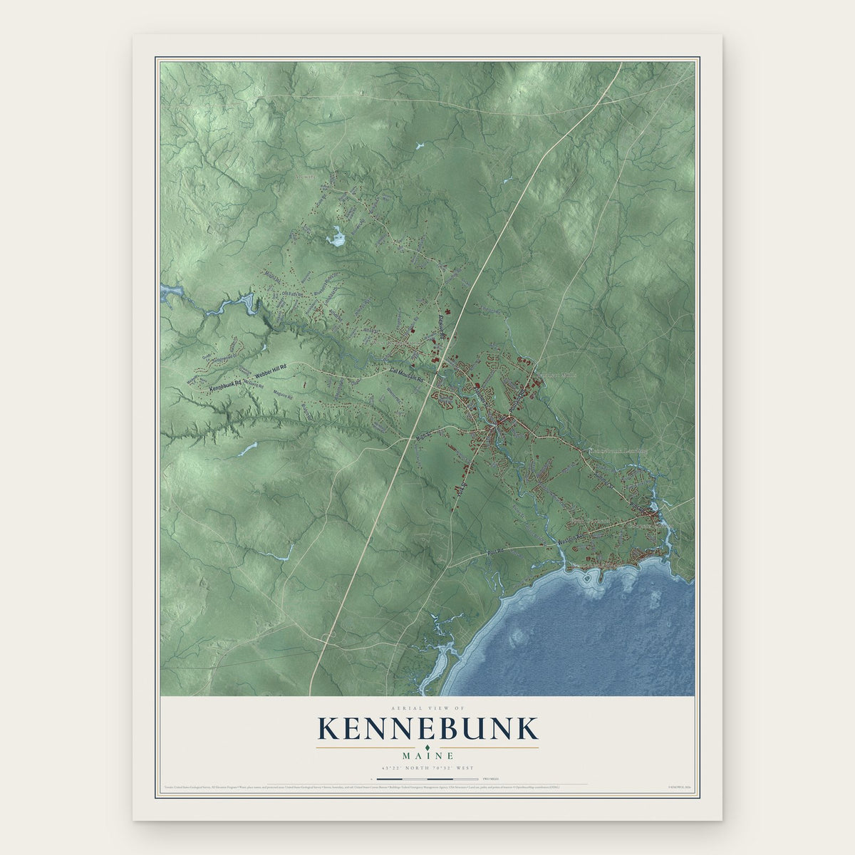
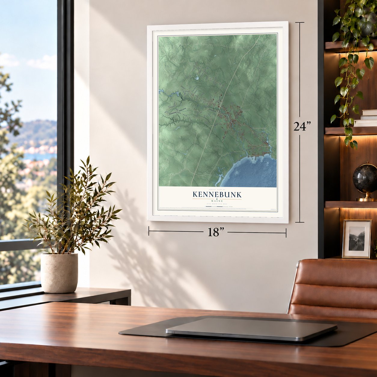
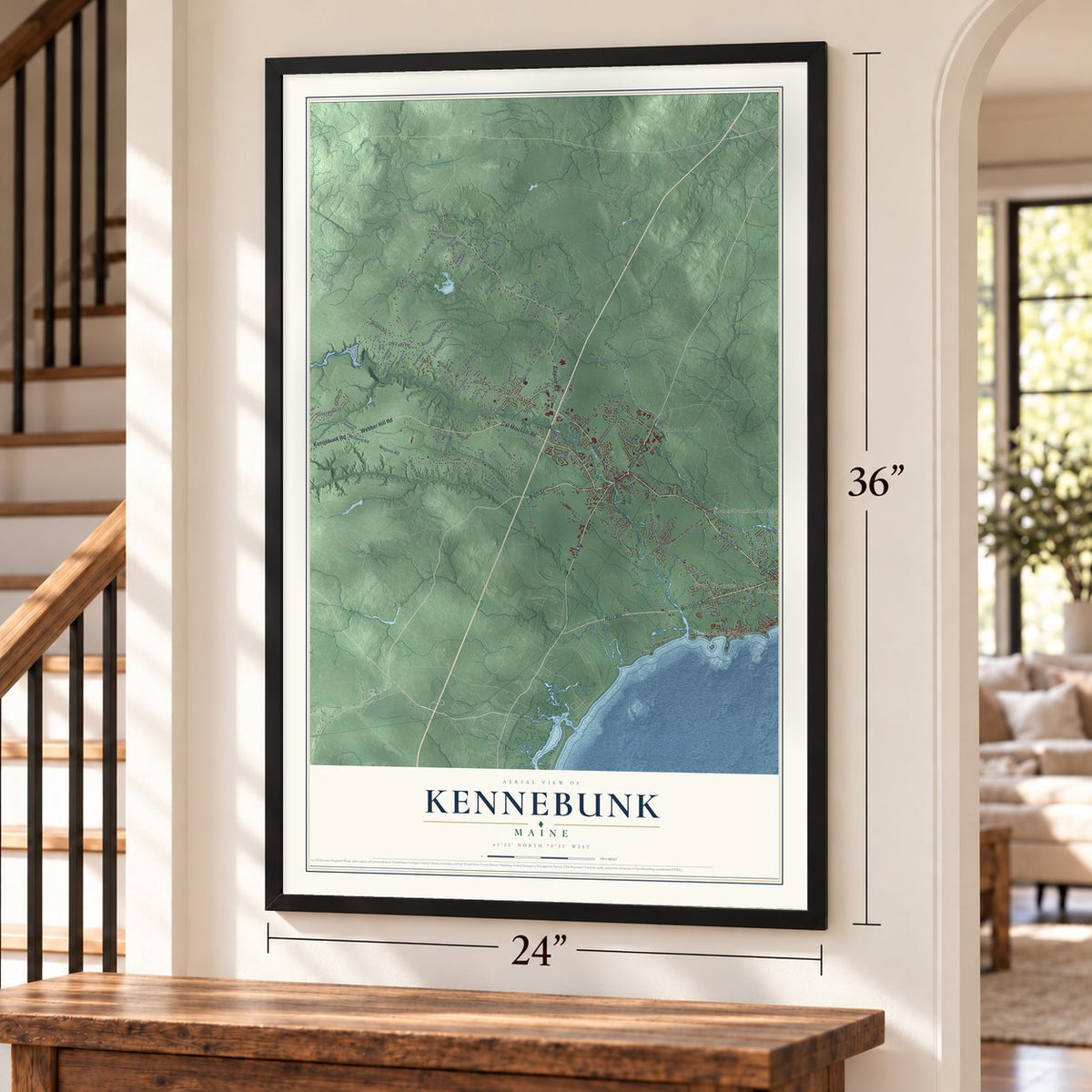
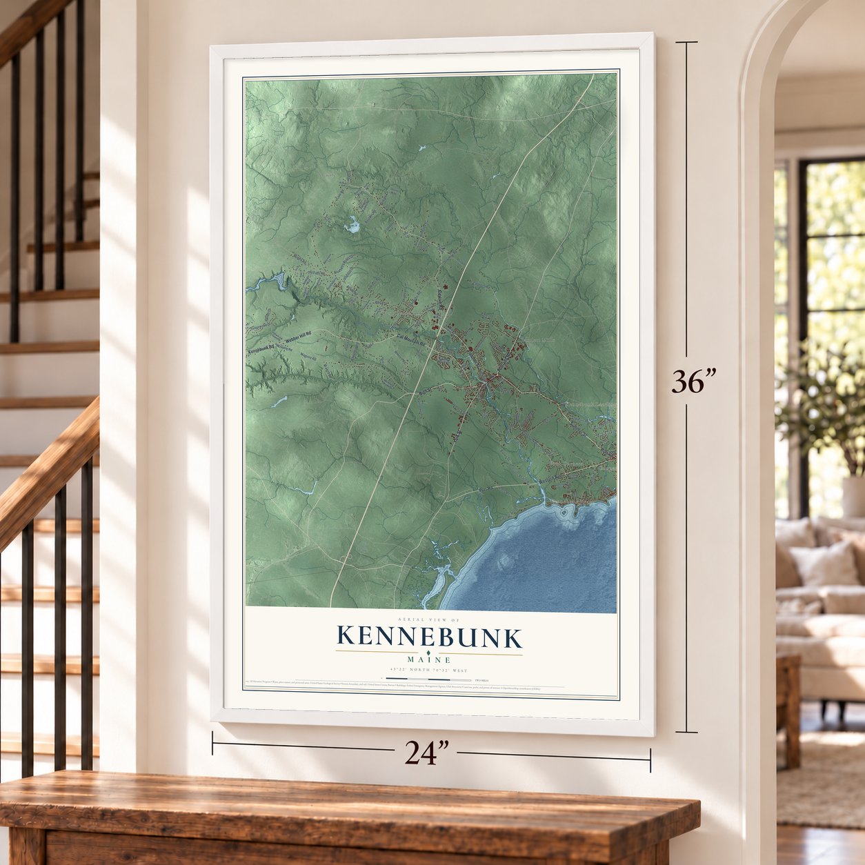
Kennebunk, Maine Map Art
Building by building, with labeled streets and shaded relief.
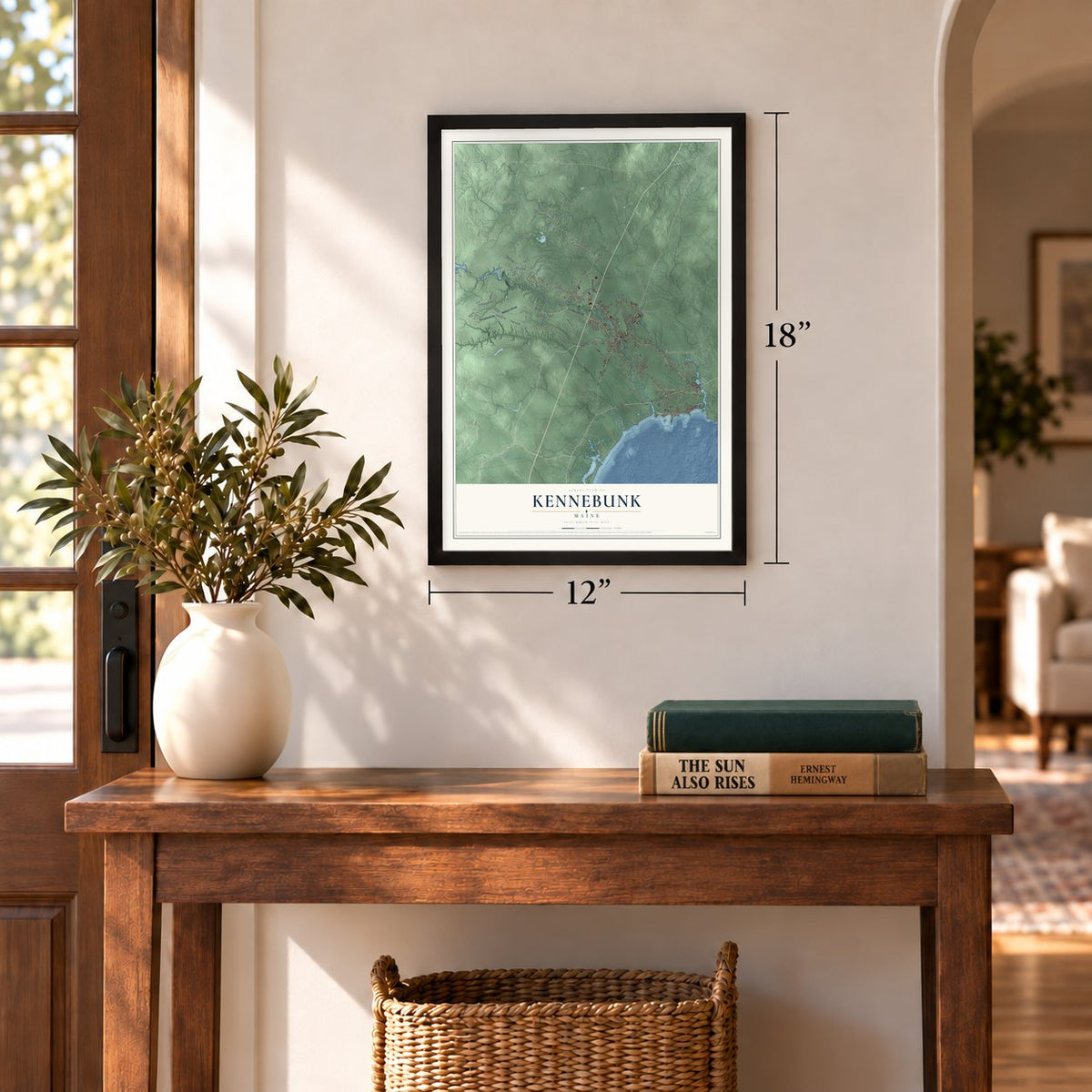
12" x 18" Archival Matte Print
A Map of Home. A Work of Art.
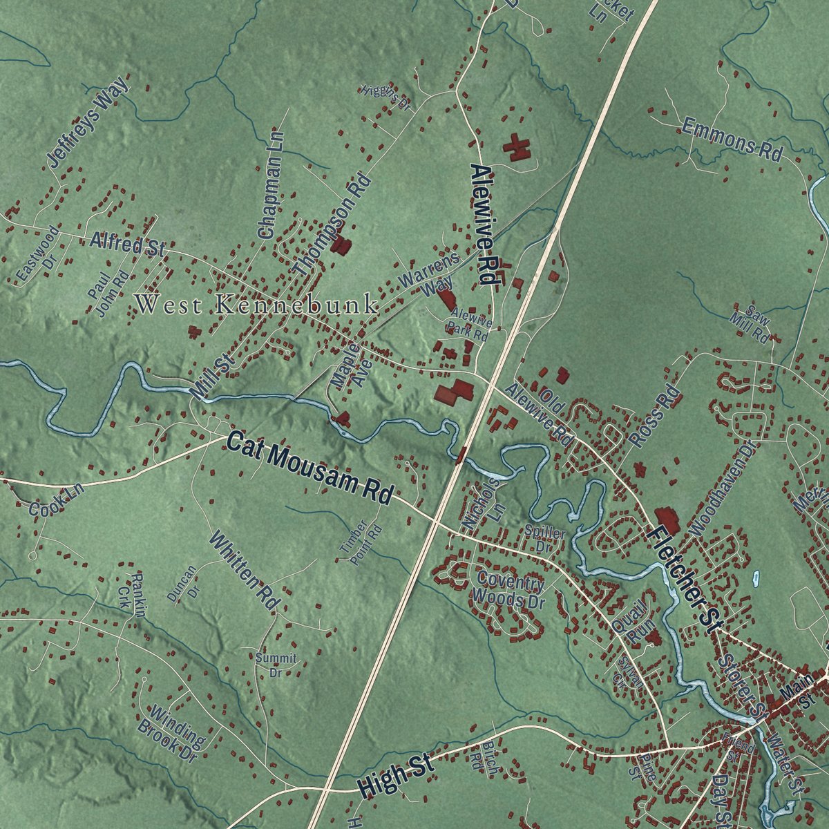
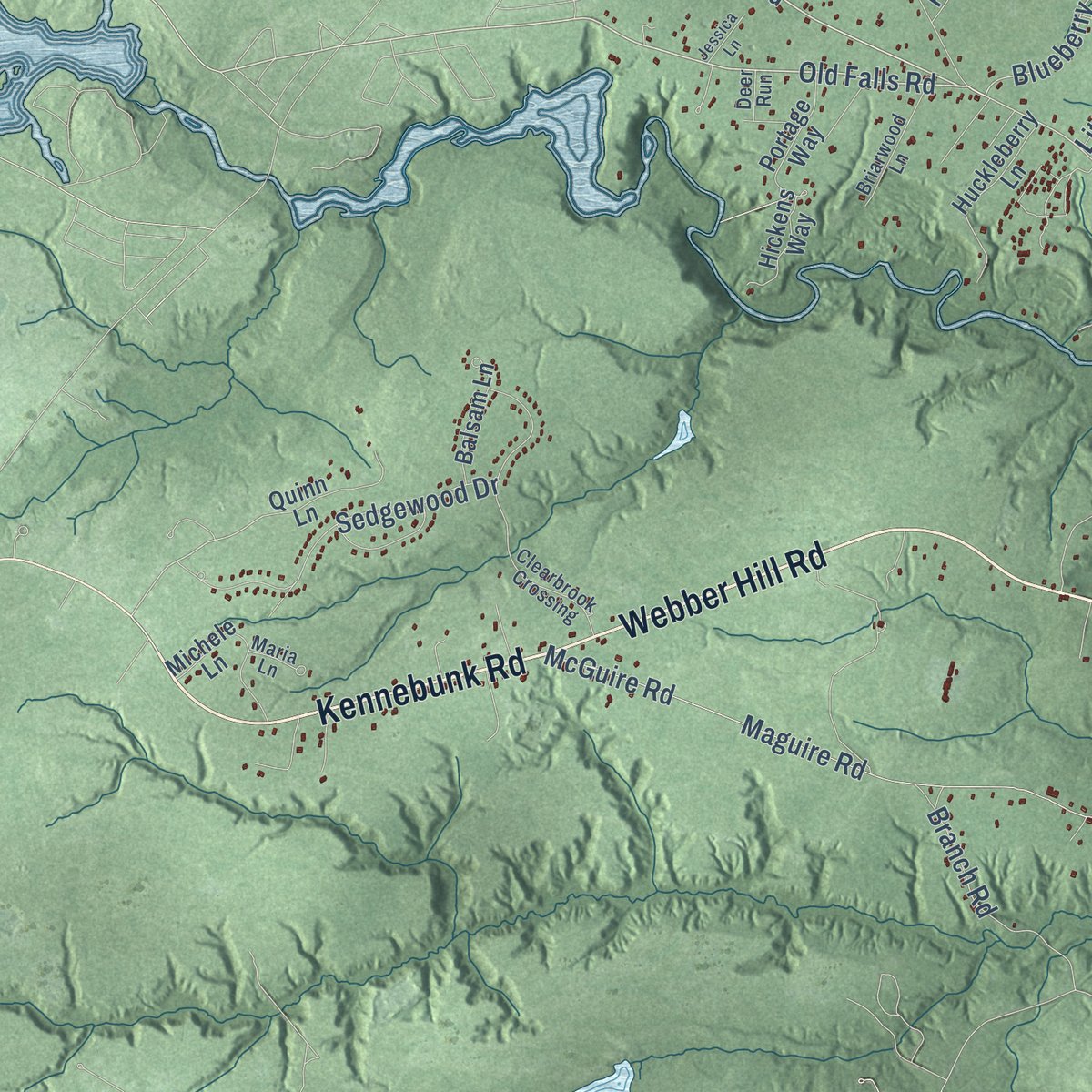
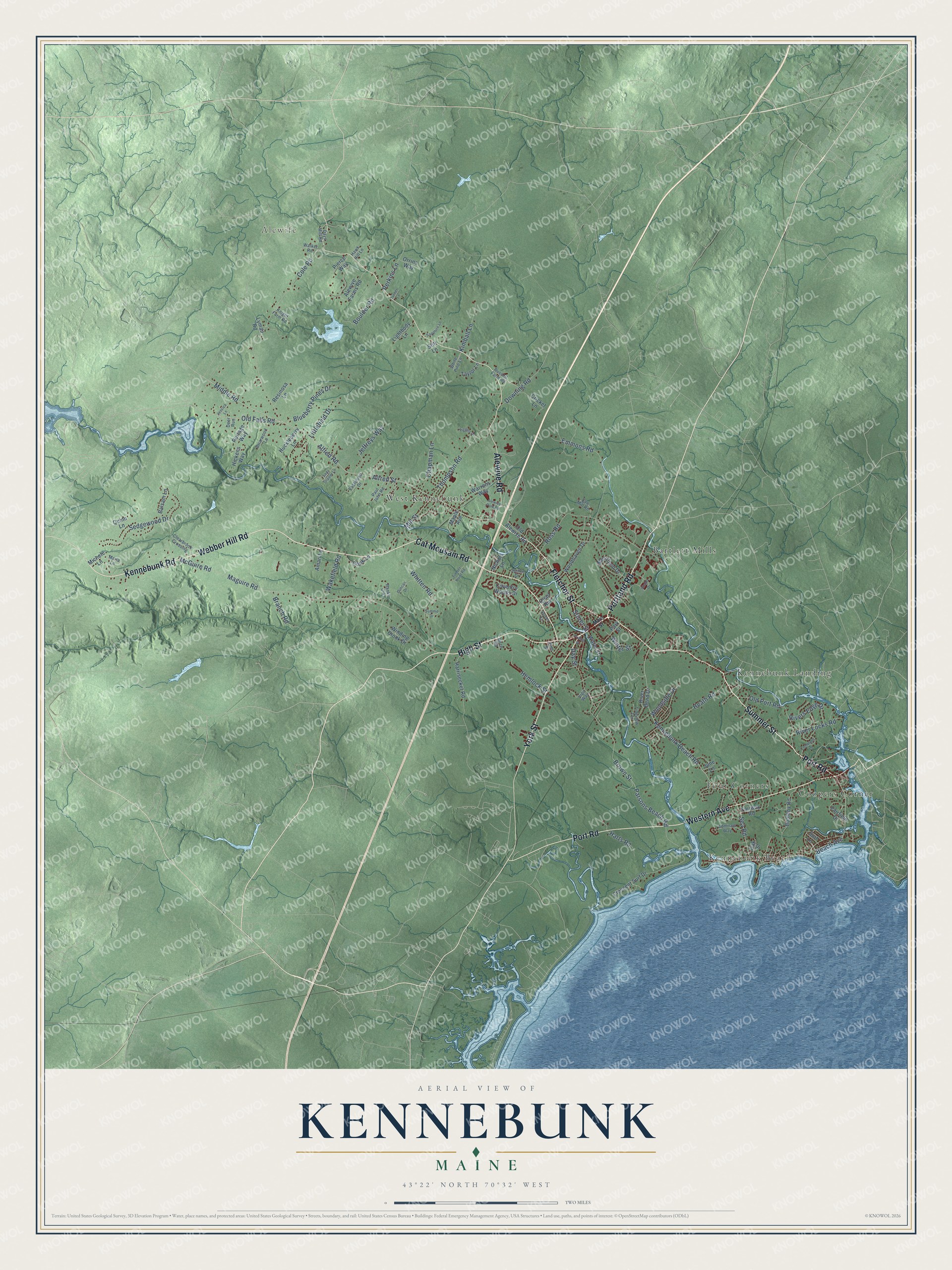
Explore Kennebunk, Maine from a whole new perspective. Created using aerial imagery and detailed geographic data, this map captures Kennebunk building by building, with labeled streets, familiar landmarks, and shaded topographical relief that highlights the natural contours of the landscape.
Combining modern data with the timeless character of a vintage atlas, this map is just as interesting up close as it is beautiful on the wall. Whether you grew up in Kennebunk, spent memorable years there, or call it home today, this unique map is a great way to celebrate a place that means something to you. Zoom in on the preview to look for your street, and then order a print to put your memories on the wall.
Three ways to hang it
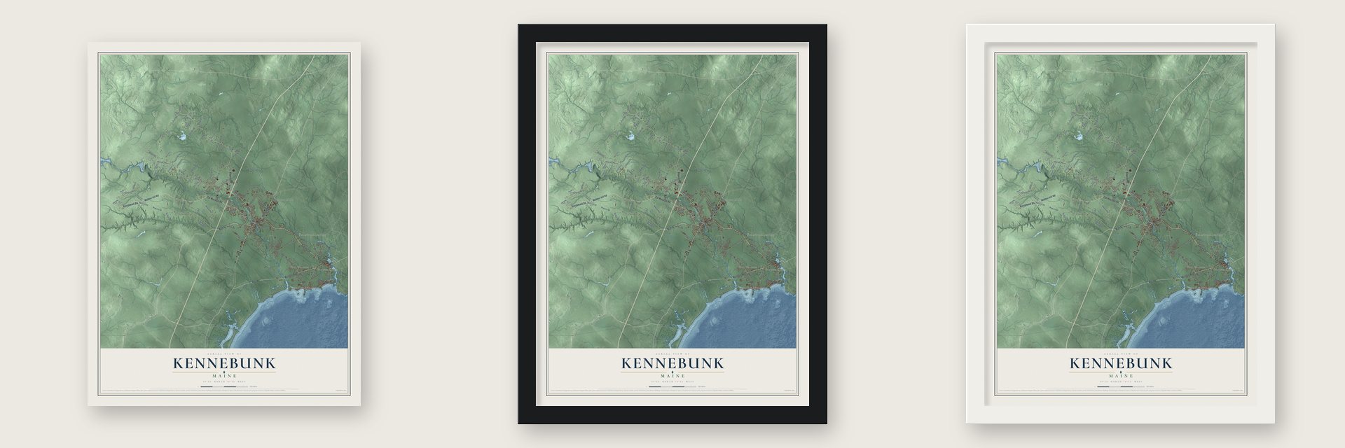
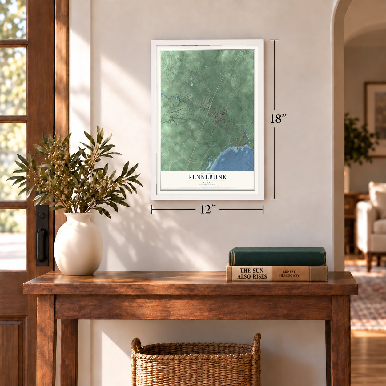
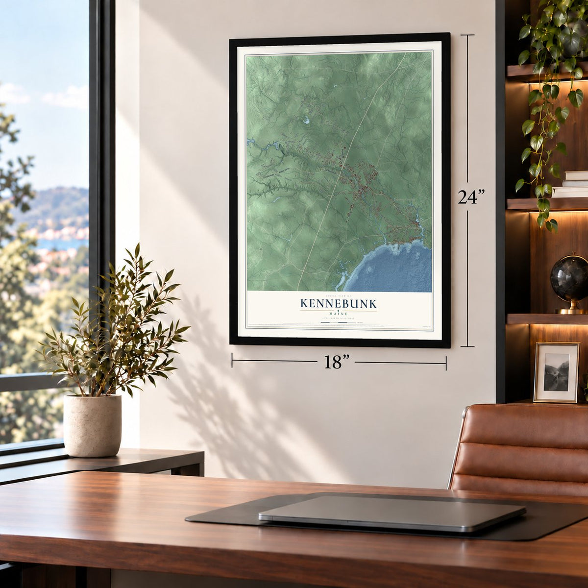
Unframed archival matte, a black wood frame or a white wood frame.
Up close
Geography Worth Displaying
This map was created using accurate cartographic data and authoritative geographic sources, including the U.S. Geological Survey (USGS) and FEMA. The map brings together terrain, waterways, roads, and building detail. The majority of the streets are labeled, houses are accurately depicted, and the topography is derived from government sources. Combining local data with carefully composed color and shading leads to this beautifully detailed Kennebunk artwork for your wall.
Rather than simply showing street outlines, we’ve included as many of the street names as we could reasonably fit on the map while keeping their names legible. Zoom in on the high resolution preview to see exactly what’s on the map. We truly set out to create a statement piece for anyone who loves Kennebunk. So whether it’s for you, or a gift for someone you love, we hope this map of Kennebunk brings back fond memories.
Explore the full map of Kennebunk, Maine and read about the local places it shows.
Find your street
Names on the Kennebunk map
Every name below is printed on this map. Look for your street, your school, the park where you played, or the pond down the road.
Places and landmarks7
- Alewife
- Kennebunk Beach
- Bartlett Mills
- West Kennebunk
- Coopers Corner
- Kennebunk Landing
- Four Corners
Streets and roads120
- Summer Street
- High Street
- York Street
- Fletcher Street
- Kennebunk Road
- Webber Hill Road
- Portland Road
- Port Road
- Western Avenue
- Alewive Road
- Cat Mousam Road
- Beach Avenue
- Old Falls Road
- Middle Road
- Storer Street
- Alfred Road
- Alfred Street
- Mill Street
- Blueberry Pines Drive
- Maguire Road
- McGuire Road
- Kennebunk Beach Road
- Sea Road
- Brown Street
- Cole Road
- Parsons Beach Road
- Ross Road
- Whitten Road
- Emmons Road
- Old Port Road
Show all 120 streets
- Thompson Road
- Heath Road
- Sedgewood Drive
- Chapman Lane
- Boulder Road
- Rivers Edge Drive
- Downing Road
- Woodside Drive
- River Locks Road
- Hemlock Street
- Littlefield Drive
- Kimball Lane
- Jeffreys Way
- Wakefield Road
- Perkins Lane
- Branch Road
- Harts Road
- Winter Street
- Day Street
- Portage Way
- Boothby Road
- Alewive Farms Road
- Harrisecket Road
- Merrifield Drive
- Warrens Way
- Winding Brook Drive
- Coventry Woods Drive
- Hickens Way
- Huckleberry Lane
- Woodhaven Drive
- Michele Lane
- Fairfield Drive
- Crescent Surf Drive
- Balsam Lane
- Quinn Lane
- Cricket Lane
- Lightbody Lane
- Oak Street
- Water Street
- Old Alewive Road
- Orrins Way
- Resinosa Lane
- Pierce Way
- Taylor Lane
- Park Street
- Nichols Lane
- Cook Lane
- Amari Lane
- River Bend Drive
- Fairway Road
- Lyman Road
- Surf Lane
- Quail Run
- Maple Avenue
- Still Lane
- June Lane
- Clearbrook Crossing
- Admirals Way
- Briarwood Lane
- Russell Farm Road
- Spiller Drive
- Eastwood Drive
- Paul John Road
- Saw Mill Road
- Tideview Terrace
- White Pine Lane
- Days Mill Road
- Maria Lane
- Knight Farm Road
- Walker Road
- Rankin Crk
- Hawk Hill Lane
- Deer Run
- Birch Road
- Pine Street
- Vigil Way
- Main Street
- Shape Drive
- Commons Lane
- Timber Point Road
- Sapphire Lane
- Duncan Drive
- Alewive Park Road
- Higgins Drive
- Sylvan Circle
- Lady Slipper Lane
- Summit Drive
- Jessica Lane
- Turner Lane
- Friend Street
Names are listed as they appear on the printed map. Zoom into the product photos to find them.
About Kennebunk, Maine
Kennebunk is a town of 11,536 people in York County, Maine, drained by the Kennebunk and Mousam rivers. Settlers first came here in 1621. The land lay within Wells and Arundel until 1820, when Kennebunk incorporated as a town of its own. To the Abenaki, the name meant "the long cut bank," probably for the long bank behind Kennebunk Beach.
Kennebunk grew as a trading and shipping center, and its yards kept building ships until 1918. Through the 19th and early 20th centuries, mill owners came to the Mousam River to power their machinery. Along its banks worked the Rogers Fibre Company, the Leatheroid Company, the Mousam Manufacturing Company and the Kennebunk Manufacturing Company.
“Kennebunk, the only village in the world so named”
- An elm for LafayetteGeneral Lafayette visited Kennebunk in 1825, and the town planted an elm to honor the visit. Hundreds of elms once shaded Kennebunk's streets, and Dutch elm disease killed them, but the Lafayette Elm lived on and became famous for its age and size. It appears on the town seal, and the restored Kesslen Shoe Mill on Route One is now called the Lafayette Center.
- The Brick Store, 1825In 1825 William Lord built a general store out of brick. Edith Cleaves Barry, his great-granddaughter, later inherited the building, and in 1936 she opened the Brick Store Museum inside it. Over time she bought the buildings next door and linked them on the inside into one museum. It keeps the town's archives along with shipbuilding tools, clothing, photographs, letters and maps from life in the Kennebunks.
- The Wedding Cake HouseLate in his life, George Washington Bourne covered his Federal-style house with scroll-saw Gothic trim as a gift for his wife of many years. A legend gives the credit to a ship captain mourning a young bride lost at sea, but Bourne did the work. The house was sold in 2025, and parts of it went to auction, including an original oil painting of George Washington.
- Maine's first historic districtSummer Street, lined with homes from Kennebunk's shipbuilding years, was the first historic district in Maine to be placed on the National Register. In 1994 the Register added the Lower Alewive Historic District as well.
Keep exploring Maine
Kennebunk is one of 536 Maine towns we've mapped. Every dot on the map is a print of its own.
The search covers every state, Maine first.
Near Kennebunk
Order 2 or more town maps and save 10%. Shown in the size and finish you picked above, so they hang as a set.
- West Kennebunk 12" x 18" / Archival Matte Print $39.99
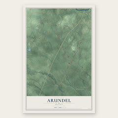
- Arundel 12" x 18" / Archival Matte Print $39.99
- Wells 12" x 18" / Archival Matte Print $39.99


More maps nearby: Kennebunkport, Biddeford, Lyman, Ogunquit and Sanford.
The art of mapping a place
How This Map Was Made
Real places. Remarkable detail. Discover the layers that turn geographic data into a map of home.

The view from above
Aerial imagery reveals the character of the land: woodland, open fields, and the patterns of a place.

The shape of the land
Elevation data brings hills, valleys, and subtle changes in the landscape into view.

The details of home
Roads, waterways, and building footprints come together to make the map feel unmistakably local.

Geography becomes art
Considered color, shading, and typography bring the layers together in a map made for your wall.


Process illustrated with Mendon, Massachusetts. Aerial imagery: USDA NAIP. Terrain: USGS 3D Elevation Program. Map details and finished artwork: KNOWOL.
The Details
About This Print
Choose an archival matte print, or a black or white Ayous wood frame. The archival matte print is unframed.
Select your size and finish above to see the matching product image and price.
Materials & Craftsmanship
A contemporary map with the character of a classic atlas, printed on archival matte paper. Optional frames are made from Ayous wood.
Your printed map does not include the watermark shown in the full-map preview.
Shipping & Delivery
Free shipping within the United States. Every print is made to order in the USA.
Buying a gift? Add a note in your cart and we'll include it. We never put prices in the package.
Prints ship within 2 to 3 business days. Allow 7 to 10 days total from ordering for delivery. Timing may vary during holidays or periods of high order volume.
Read our shipping policy.
Returns and damaged prints
Each print is made to order. Change-of-mind refunds are not available after production.
If your print arrives damaged, misprinted or incorrect, contact support@knowol.com within 30 days of receiving it. Include your order number, photos and a description of the issue.
Read our full refund and replacement policy. For questions about your order, email support@knowol.com.