
Search for another town


Free U.S. delivery 7 to 10 days after you order
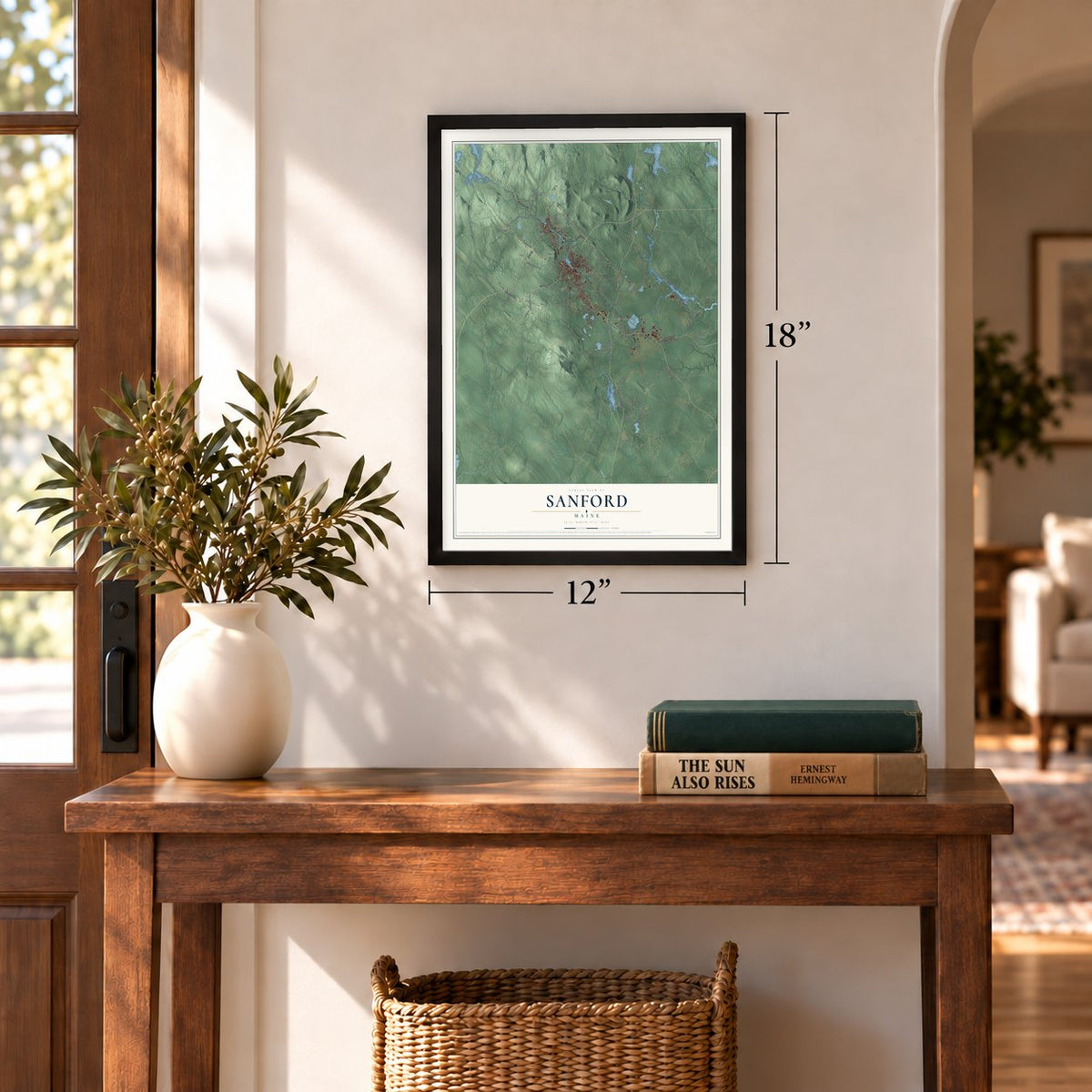
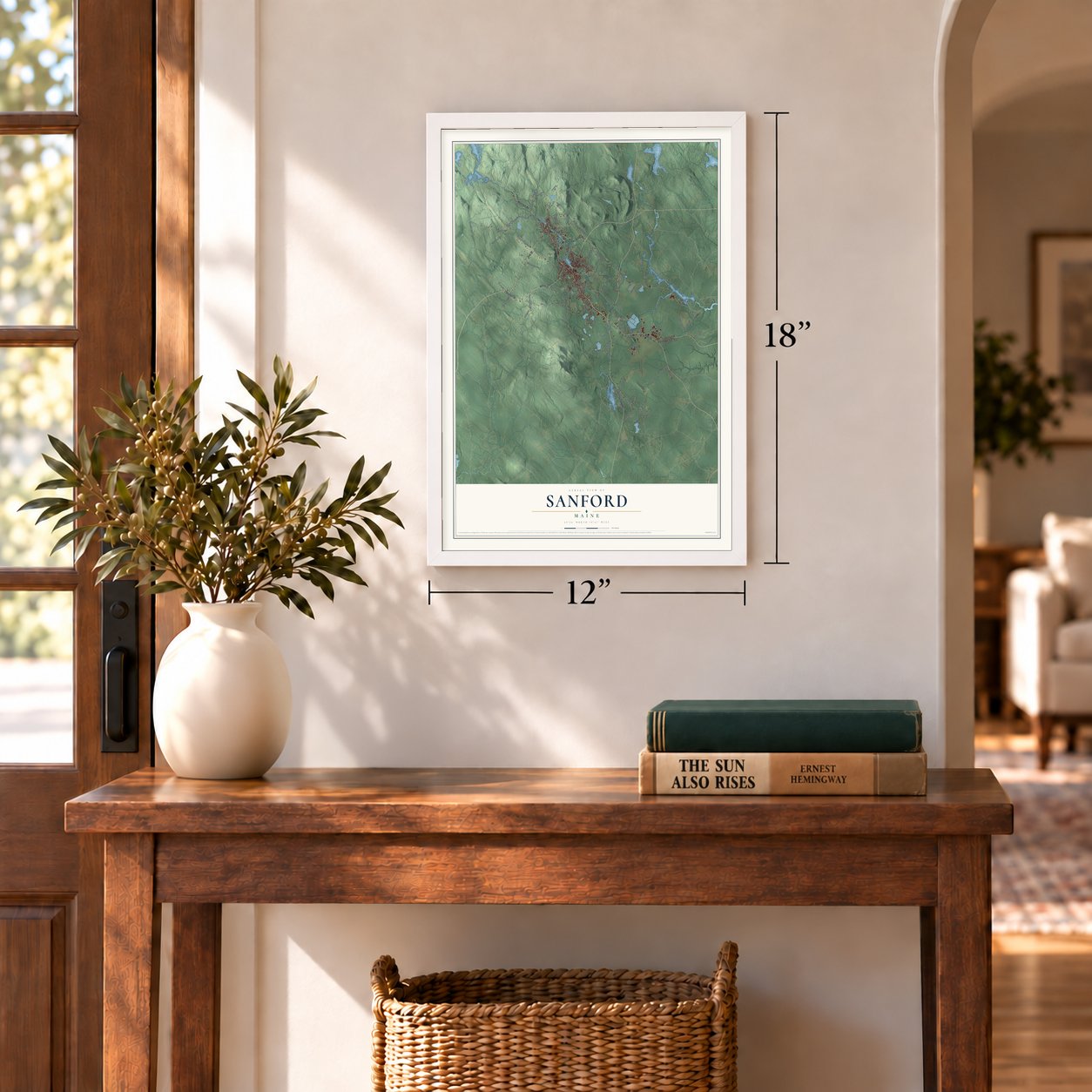
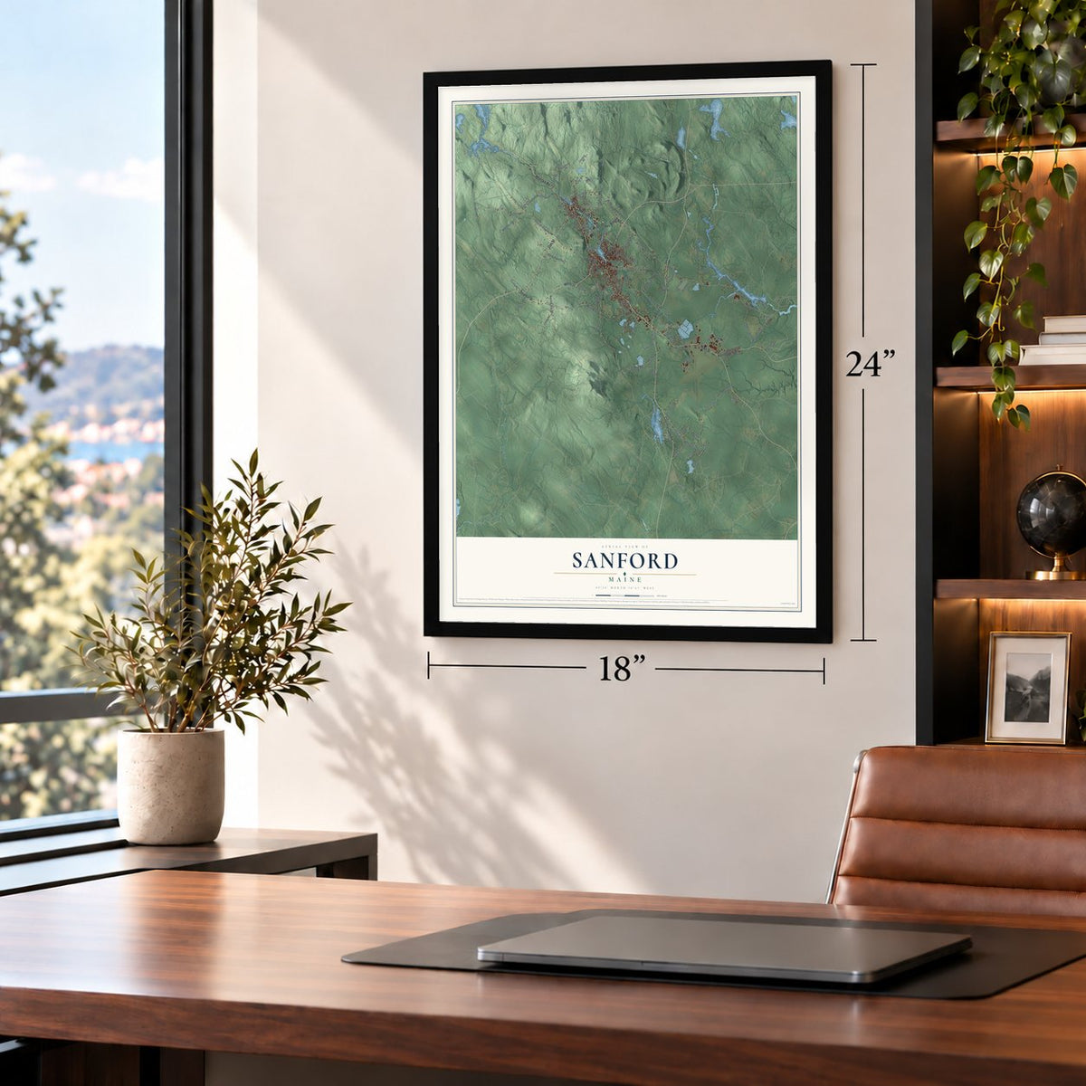
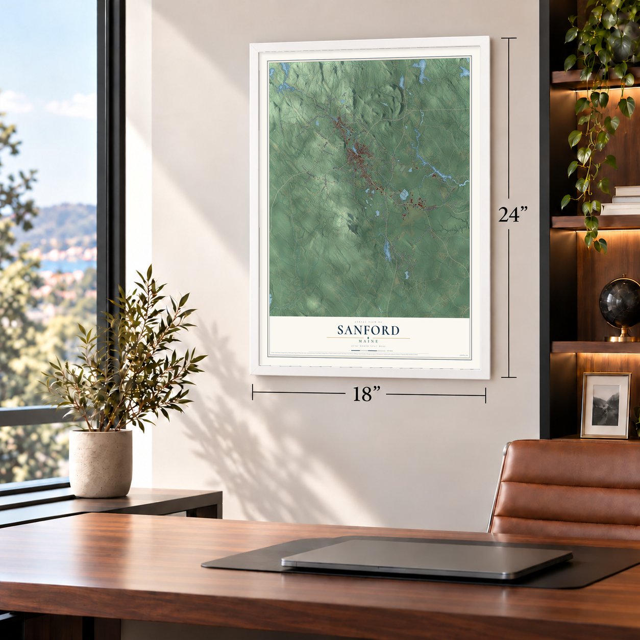
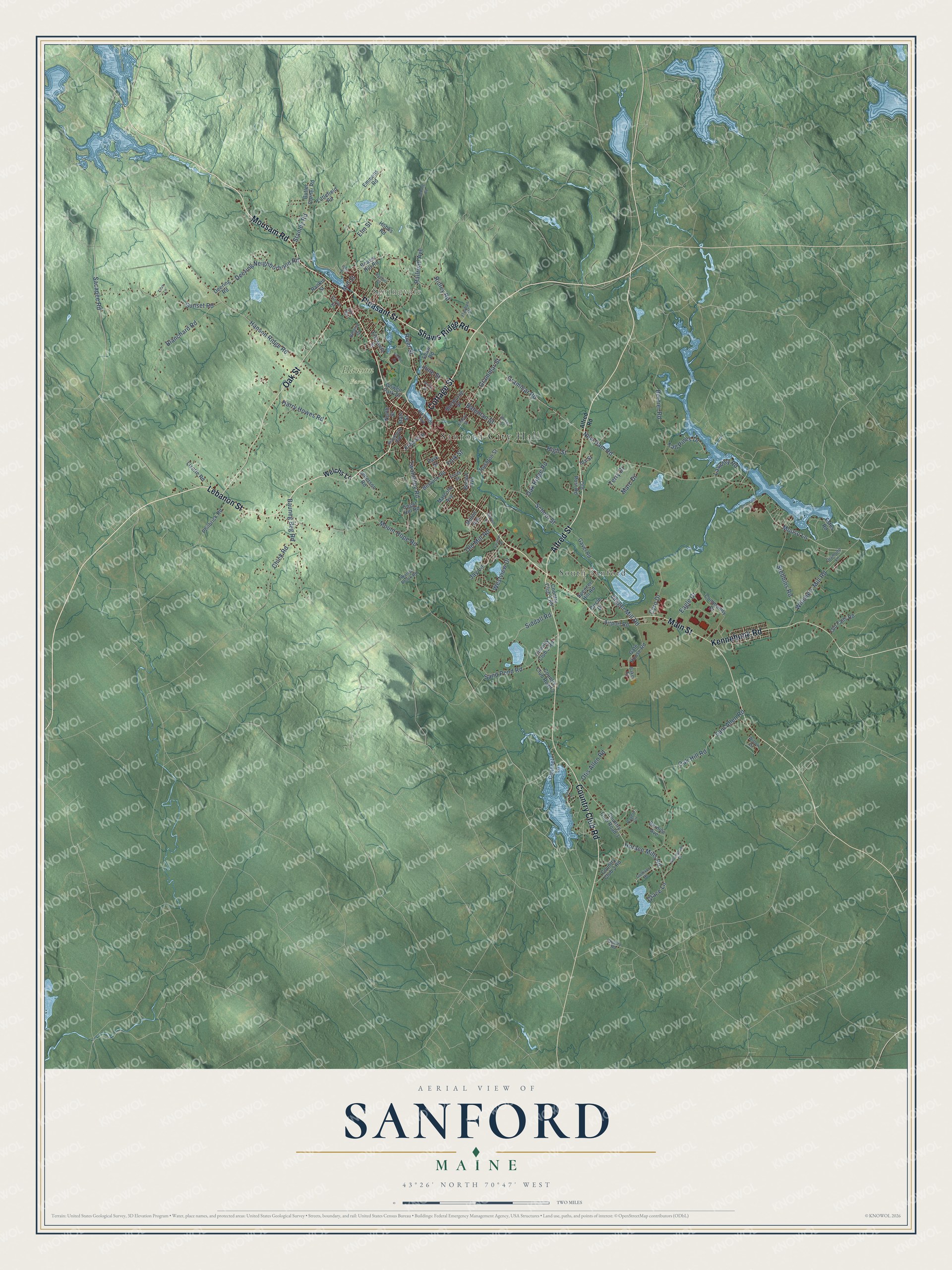
Sanford, Maine Map Art
Building by building, with labeled streets and shaded relief.
12" x 18" Archival Matte Print
A Map of Home. A Work of Art.
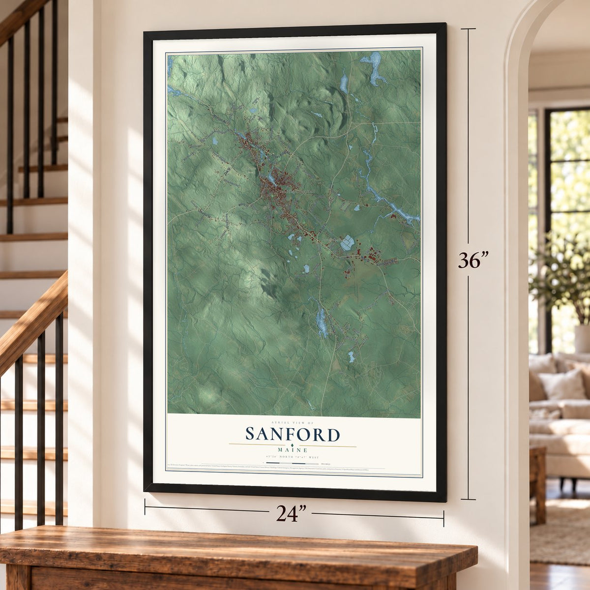
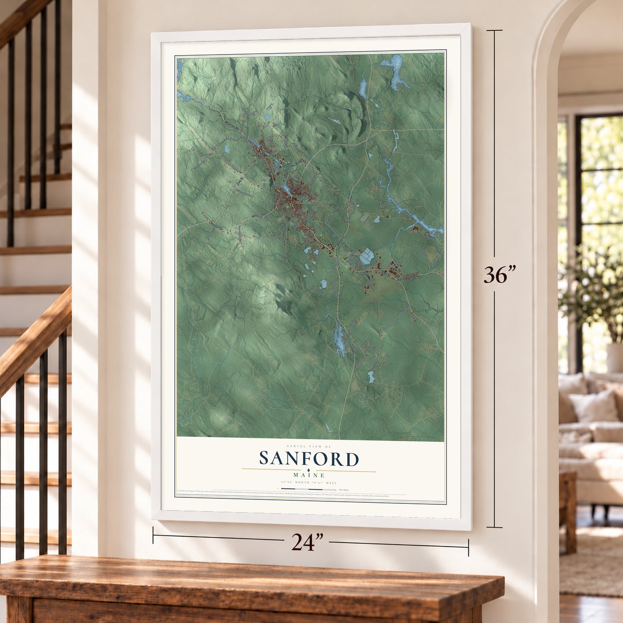
Explore Sanford, Maine from a whole new perspective. Created using aerial imagery and detailed geographic data, this map captures Sanford building by building, with labeled streets, familiar landmarks, and shaded topographical relief that highlights the natural contours of the landscape.
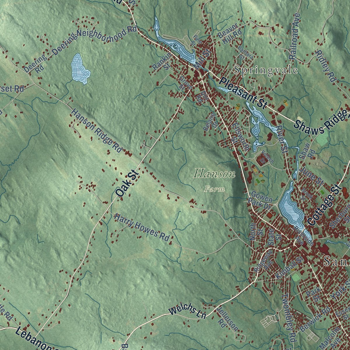
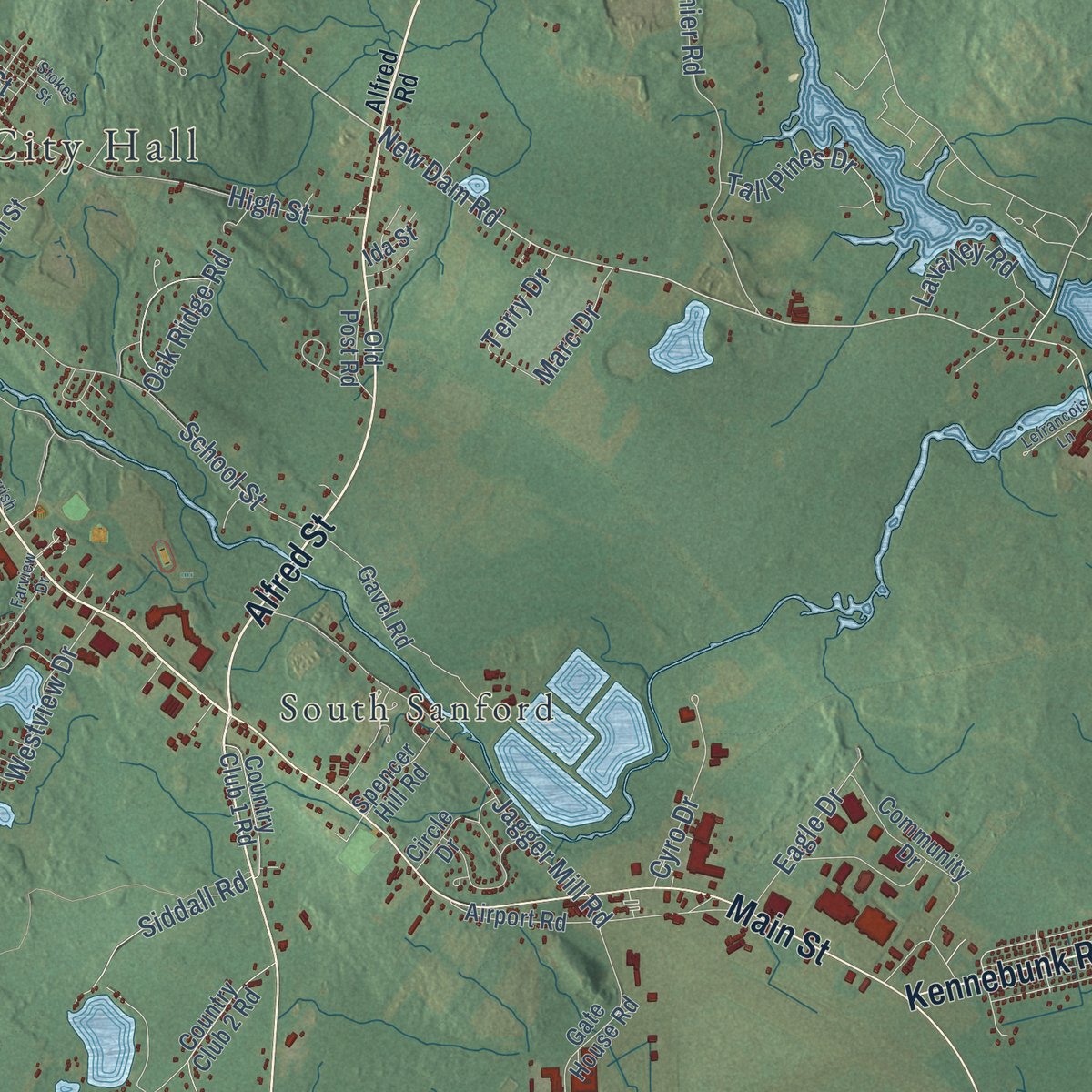
Combining modern data with the timeless character of a vintage atlas, this map is just as interesting up close as it is beautiful on the wall. Whether you grew up in Sanford, spent memorable years there, or call it home today, this unique map is a great way to celebrate a place that means something to you. Zoom in on the preview to look for your street, and then order a print to put your memories on the wall.
Three ways to hang it
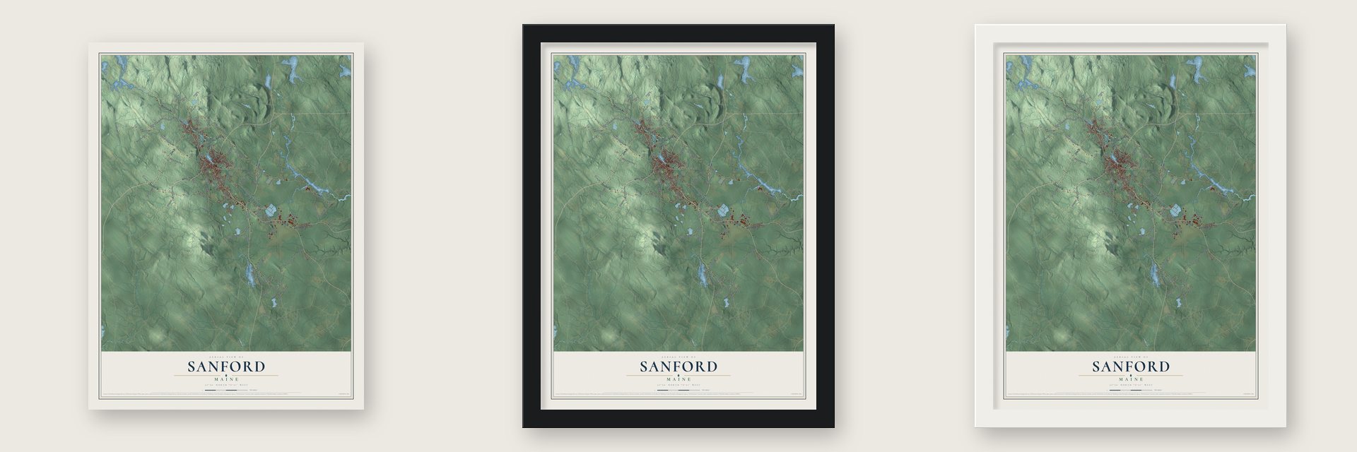
Unframed archival matte, a black wood frame or a white wood frame.
Up close
Geography Worth Displaying
This map was created using accurate cartographic data and authoritative geographic sources, including the U.S. Geological Survey (USGS) and FEMA. The map brings together terrain, waterways, roads, and building detail. The majority of the streets are labeled, houses are accurately depicted, and the topography is derived from government sources. Combining local data with carefully composed color and shading leads to this beautifully detailed Sanford artwork for your wall.
Rather than simply showing street outlines, we’ve included as many of the street names as we could reasonably fit on the map while keeping their names legible. Zoom in on the high resolution preview to see exactly what’s on the map. We truly set out to create a statement piece for anyone who loves Sanford. So whether it’s for you, or a gift for someone you love, we hope this map of Sanford brings back fond memories.
Explore the full map of Sanford, Maine and read about the local places it shows.
Find your street
Names on the Sanford map
Every name below is printed on this map. Look for your street, your school, the park where you played, or the pond down the road.
Places and landmarks4
- Sanford City Hall
- Springvale
- Hanson Farm
- South Sanford
Streets and roads126
- Lebanon Street
- Cottage Street
- Shaws Ridge Road
- Pleasant Street
- Alfred Street
- Mousam Road
- Country Club Road
- Main Street
- Oak Street
- Kennebunk Road
- Grammar Road
- River Street
- New Dam Road
- Elm Street
- Mouse Lane
- Hanson Ridge Road
- Horace Mills Road
- Twombley Road
- Sam Allen Road
- School Street
- High Street
- Mount Hope Road
- Harry Howes Road
- Sunset Road
- Blanchard Road
- Jagger Mill Road
- Whichers Mill Road
- Bernier Road
- Railroad Avenue
- Bauneg Beg Road
Show all 126 streets
- Deering Neighborhood Road
- Old Mill Road
- Stebbins Road
- Siddall Road
- Oak Hill Road
- Ridley Road
- Westview Drive
- Grammar Street
- Stanley Road
- Chick Road
- Sand Pond Road
- June Street
- Lavalley Road
- Tall Pines Drive
- Eagle Drive
- Cyro Drive
- Otis Allen Road
- Oak Ridge Road
- Sacapee Road
- Bateman Street
- Marc Drive
- Grace Lane
- Terry Drive
- York Street
- Mill Street
- Jay Lane
- Welchs Lane
- Kimball Street
- Beaver Hill Road
- Jellerson Road
- Country Club Road 3
- Country Club 3 Road
- Deering Road
- Littlefield Road
- Airport Road
- Gavel Road
- Country Club 2 Road
- Country Club Road 2
- Milton Avenue
- Sherburne Street
- Community Drive
- Estes Road
- Gate House Road
- Shaw Road
- Rushton Street
- Philbrick Road
- Channel Lane
- Berwick Road
- Country Club 1 Road
- Lizotte Road
- Old Falls Road
- Breton Avenue
- Sugar Hill Road
- Spencer Hill Road
- Malcolm Avenue
- Old Post Road
- Gowen Park Drive
- Butler Corner Road
- Emmons Road
- Ellsworth Street
- Rankin Street
- Circle Drive
- Hobbs Road
- Bernice Avenue
- North Street
- State Street
- Ida Street
- Park Street
- Alfred Road
- Payeur Circle
- Emery Street
- Diamond Lane
- Gulliver Drive
- Flayhan Drive
- Grove Street
- Riverside Avenue
- Essex Street
- Ridgeway Avenue
- Baker Road
- Walnut Brook Road
- Willow Drive
- Belaire Drive
- Quarry Road
- Dirt Road
- Nottingham Drive
- Farview Drive
- Brook Street
- Barbara Street
- Gerrish Drive
- Lefrancois Lane
- East 2
- Pine Street
- Gebung Road
- Votech Drive
- Stokes Street
- Titus Lane
Names are listed as they appear on the printed map. Zoom into the product photos to find them.
About Sanford, Maine
Sanford is a city of 21,982 people in York County, on the Mousam River, and the village of Springvale lies within it. In 1661 Major William Phillips, a Saco mill owner, bought the land from the Abenaki chief Fluellin, and it was first known as Phillipstown. Mrs. Phillips left it in her 1696 will to Peleg Sanford, her former husband's son, but the French and Indian Wars kept settlers away. A Massachusetts militia destroyed the Abenaki stronghold of Norridgewock in 1724, the region grew safer, and the first settlers arrived in 1739.
The town was incorporated in 1768 and named for Peleg Sanford. The Mousam River powered its industry from early on, starting with a sawmill that Capt. Market Morrison built above Springvale in 1745. After the Civil War, mills rose in both Springvale and Sanford villages, and the Portland and Rochester Railroad carried their cotton and woolen goods, carpets, shoes and lumber to market. Between 1880 and 1910 the population grew from 2,700 to more than 9,000.
- The Goodall Mills, 1867Thomas Goodall, born in Britain, sold a mill in Troy, New Hampshire, in 1865 that made woolen blankets shaped to fit horses. In 1867 he founded the Goodall Mills beside the Mousam. The factory started with carriage robes and blankets, then branched into mohair plush for railroad seats, carpets, draperies, auto fabrics, military uniform cloth and Palm Beach fabric for summer suits. Its bright, fast colors sold around the world, and some workers bought company-built houses at cost.
- Goodall Park, 1914The Goodall family built Goodall Park in 1914, a roofed stadium with 784 seats that is now home to the Sanford Mainers baseball team. The family also helped build the town's library, town hall, hospital, airport and golf club. In 1917 the people of Sanford put up a bronze statue of Thomas Goodall, which holds a place of honor in Central Park.
- The town that refused to dieIn 1954 Burlington Mills, then the largest textile company in the country, bought Sanford Mills, moved its looms South and shut it down. That left 3,600 people jobless and 2,000,000 square feet of mills empty. Local business owners traveled the Northeast to bring employers to Sanford. NBC's Armstrong Circle Theatre told the comeback story in November 1955, starring Darren McGavin and Jason Robards, and LIFE magazine featured it on August 5, 1957.
- Maine's third woman lawyerBelle Ashton Leavitt of Sanford was admitted to the bar in 1900, the third woman to join the Maine Bar Association. She practiced law in partnership with her brother-in-law, Fred J. Allen, who also served in the Maine Legislature.
Keep exploring Maine
Sanford is one of 536 Maine towns we've mapped. Every dot on the map is a print of its own.
The search covers every state, Maine first.
Near Sanford
Order 2 or more town maps and save 10%. Shown in the size and finish you picked above, so they hang as a set.
- Alfred 12" x 18" / Archival Matte Print $39.99
- North Berwick 12" x 18" / Archival Matte Print $39.99
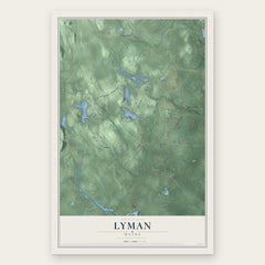
- Lyman 12" x 18" / Archival Matte Print $39.99

More maps nearby: Lebanon, West Kennebunk, Berwick, Shapleigh and Wells.
The art of mapping a place
How This Map Was Made
Real places. Remarkable detail. Discover the layers that turn geographic data into a map of home.

The view from above
Aerial imagery reveals the character of the land: woodland, open fields, and the patterns of a place.

The shape of the land
Elevation data brings hills, valleys, and subtle changes in the landscape into view.

The details of home
Roads, waterways, and building footprints come together to make the map feel unmistakably local.

Geography becomes art
Considered color, shading, and typography bring the layers together in a map made for your wall.


Process illustrated with Mendon, Massachusetts. Aerial imagery: USDA NAIP. Terrain: USGS 3D Elevation Program. Map details and finished artwork: KNOWOL.
The Details
About This Print
Choose an archival matte print, or a black or white Ayous wood frame. The archival matte print is unframed.
Select your size and finish above to see the matching product image and price.
Materials & Craftsmanship
A contemporary map with the character of a classic atlas, printed on archival matte paper. Optional frames are made from Ayous wood.
Your printed map does not include the watermark shown in the full-map preview.
Shipping & Delivery
Free shipping within the United States. Every print is made to order in the USA.
Buying a gift? Add a note in your cart and we'll include it. We never put prices in the package.
Prints ship within 2 to 3 business days. Allow 7 to 10 days total from ordering for delivery. Timing may vary during holidays or periods of high order volume.
Read our shipping policy.
Returns and damaged prints
Each print is made to order. Change-of-mind refunds are not available after production.
If your print arrives damaged, misprinted or incorrect, contact support@knowol.com within 30 days of receiving it. Include your order number, photos and a description of the issue.
Read our full refund and replacement policy. For questions about your order, email support@knowol.com.