
Search for another town



Free U.S. delivery 7 to 10 days after you order
Lebanon, Maine Map Art
Building by building, with labeled streets and shaded relief.
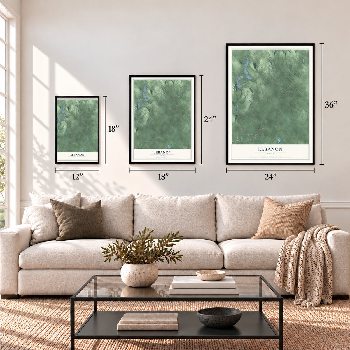
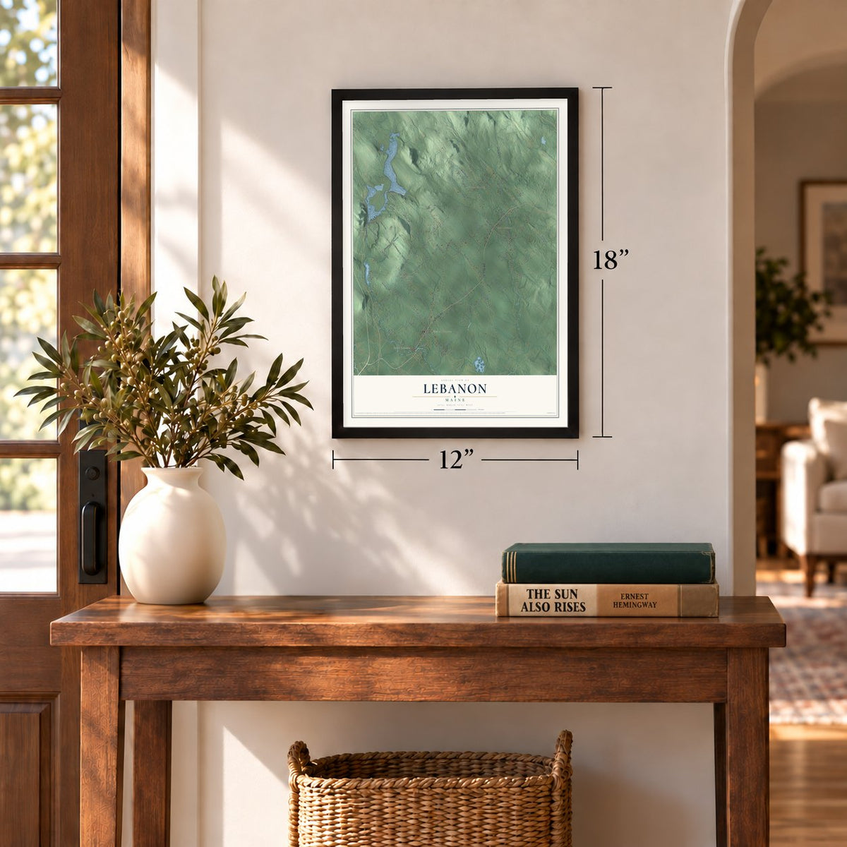
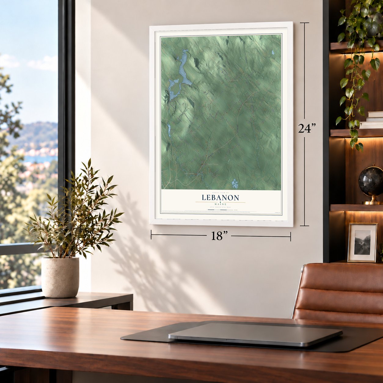
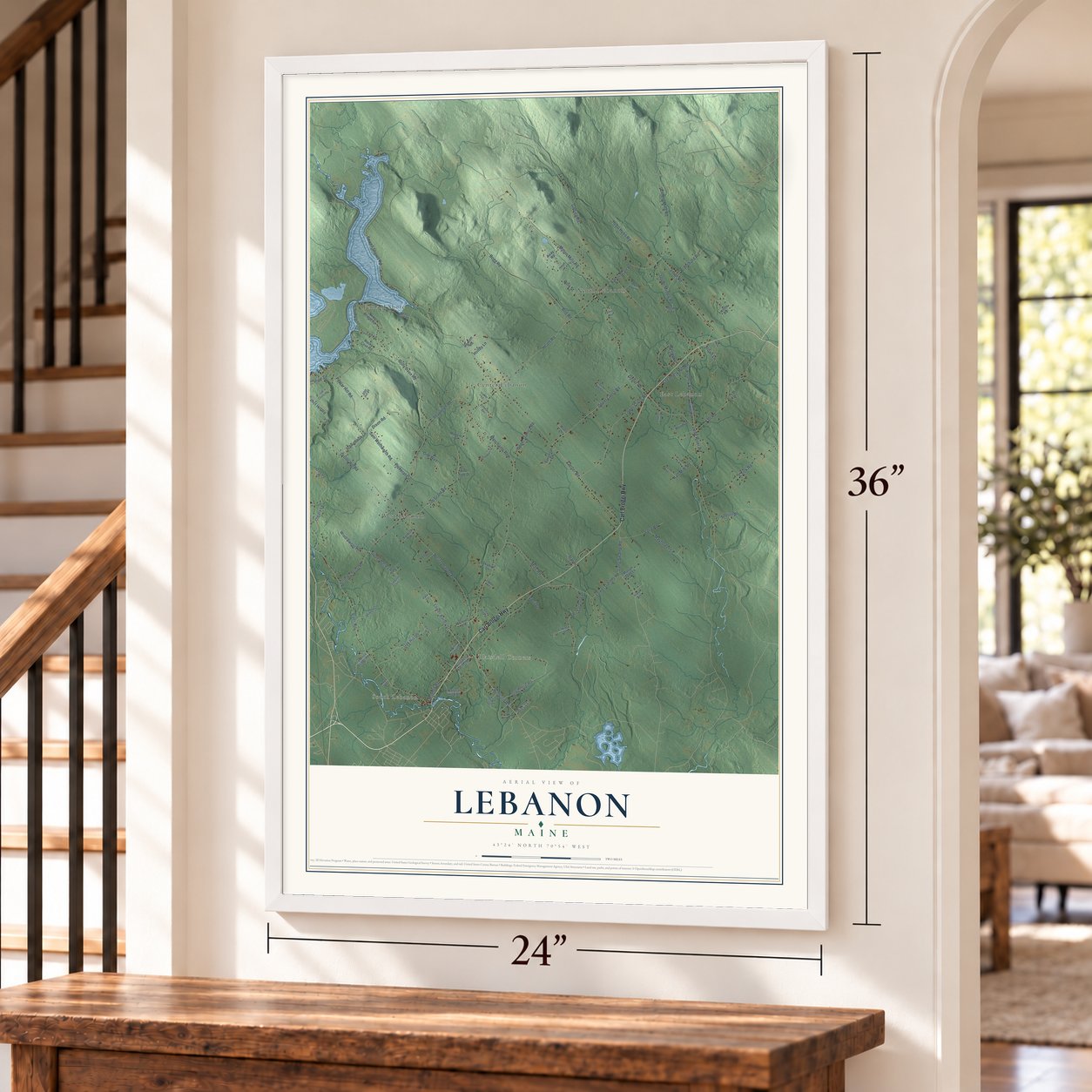
12" x 18" Archival Matte Print
A Map of Home. A Work of Art.
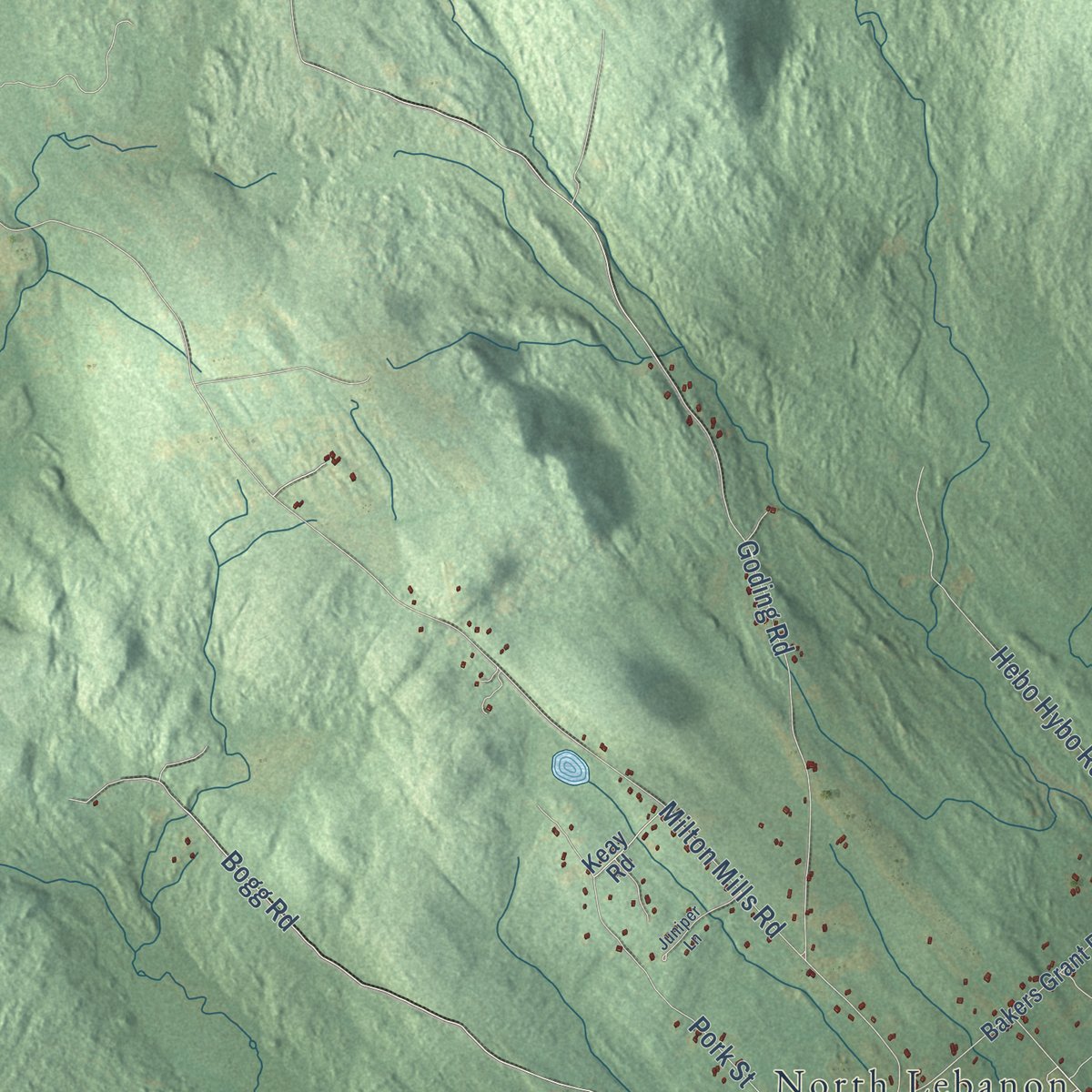
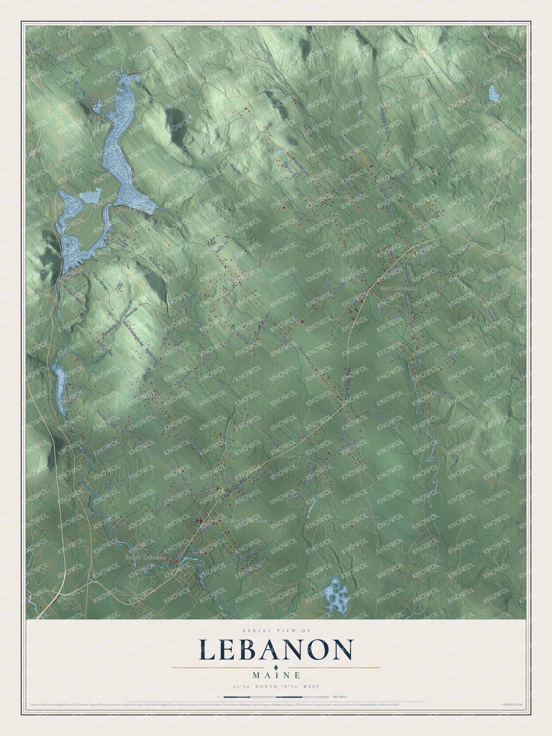
Explore Lebanon, Maine from a whole new perspective. Created using aerial imagery and detailed geographic data, this map captures Lebanon building by building, with labeled streets, familiar landmarks, and shaded topographical relief that highlights the natural contours of the landscape.
Combining modern data with the timeless character of a vintage atlas, this map is just as interesting up close as it is beautiful on the wall. Whether you grew up in Lebanon, spent memorable years there, or call it home today, this unique map is a great way to celebrate a place that means something to you. Zoom in on the preview to look for your street, and then order a print to put your memories on the wall.
Three ways to hang it
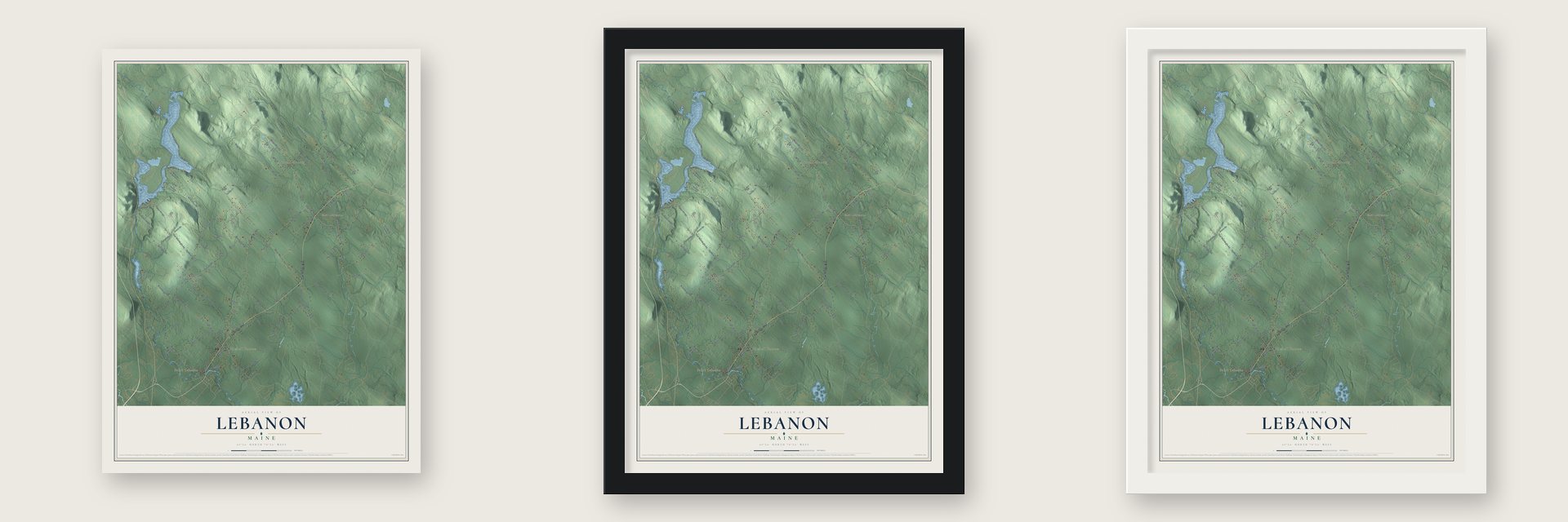
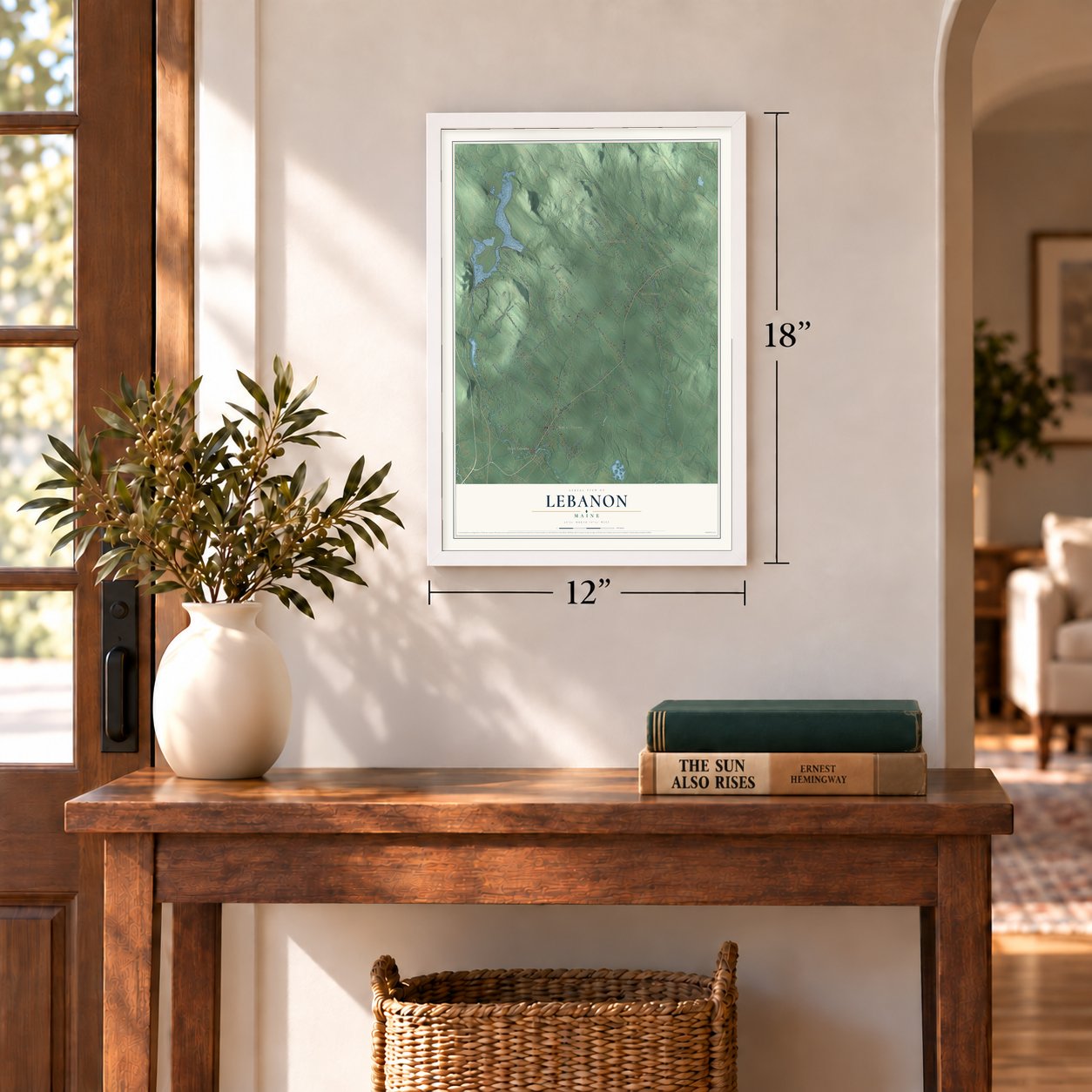
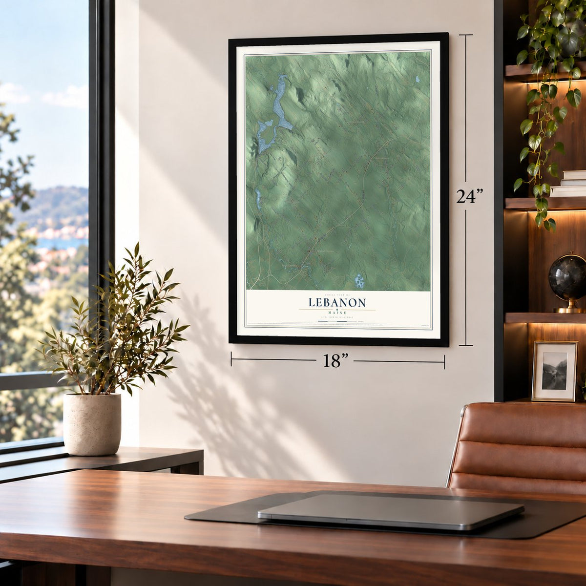
Unframed archival matte, a black wood frame or a white wood frame.
Up close
Geography Worth Displaying
This map was created using accurate cartographic data and authoritative geographic sources, including the U.S. Geological Survey (USGS) and FEMA. The map brings together terrain, waterways, roads, and building detail. The majority of the streets are labeled, houses are accurately depicted, and the topography is derived from government sources. Combining local data with carefully composed color and shading leads to this beautifully detailed Lebanon artwork for your wall.
Rather than simply showing street outlines, we’ve included as many of the street names as we could reasonably fit on the map while keeping their names legible. Zoom in on the high resolution preview to see exactly what’s on the map. We truly set out to create a statement piece for anyone who loves Lebanon. So whether it’s for you, or a gift for someone you love, we hope this map of Lebanon brings back fond memories.
Explore the full map of Lebanon, Maine and read about the local places it shows.
Find your street
Names on the Lebanon map
Every name below is printed on this map. Look for your street, your school, the park where you played, or the pond down the road.
Places and landmarks7
- South Lebanon
- North Lebanon
- Fernald Shore
- West Lebanon
- East Lebanon
- Center Lebanon
- Blaisdell Corners
Streets and roads114
- Carl Broggi Highway
- Orrills Hill Road
- Prospect Hill Road
- Poplar Hill Road
- Champion Street
- Smith Road
- Jim Grant Road
- West Lebanon Road
- Emery Mills Road
- Sam Wentworth Road
- Upper Middle Road
- Center Road
- Upper Guinea Road
- River Road
- Lower Guinea Road
- Shapleigh Road
- Little River Road
- Sewell Shores Road
- Milton Mills Road
- Heath Road
- Chick Road
- Bog Road
- Depot Road
- Bogg Road
- Lower Cross Road
- Upper Cross Road
- Goding Road
- Lower Barley Street
- Gully Oven Road
- Hebo Hybo Road
Show all 114 streets
- Merchants Row
- Hubbard Road
- Fall Road
- Long Swamp Road
- Dixon Road
- Old Ledge Road
- County Road
- Oleary Lane
- Lord Road
- Richardson Drive
- Oak Hill Road
- Mills Road
- Pork Street
- Half Mile Road
- Creamery Hill Road
- Mayflower Lane
- Upper Barley Road
- Gile Way
- Wind Swept Road
- Stuart Lane
- Bigelow Road
- Blanchard Road
- Abbott Road
- Pickeral Cv
- Holtby Lane
- Wier's Lane
- Edcil Lane
- Schoolhouse Lane
- Bakers Grant Road
- Blaisdell Corner Road
- North Rochester Road
- O'Leary Lane
- Lower Middle Road
- Briarwood Circle
- New Bridge Road
- Indian Lake Drive
- Rocky Cove Road
- Natural High Road
- Wilfred Drive
- Spencer Lane
- Flat Rock Bridge Road
- Savannah Lane
- Clark Lane
- Lizotte Road
- Chick Road Extended
- Mariah Jade Lane
- Skydive Lane
- Woods Drive
- Maggies Lane
- Station Lane
- Keay Road
- Furbish Lane
- Pine Grove Lane
- Kelly Lane
- Moose Lane
- Lakota Drive
- Pine Tree Drive
- Hersom Road
- Rose Lane
- Watts Lane
- Knox Lane
- Pray Lane
- West Shore Drive
- Columbus Circle
- Gray Birch Lane
- Sanborn Lane
- Trevor Lane
- Emmons Lane
- Leone Road
- Tyler Lane
- Old County Road
- Juniper Lane
- Carolines Way
- Maple Ridge Lane
- Wiswell Lane
- Great Brook Drive
- Churrells Brook Road
- Pond View Drive
- Leslie Drive
- Allen Hall Road
- Acorn Lane
- Hunter Way
- Brook Lane
- Elliot Way
Names are listed as they appear on the printed map. Zoom into the product photos to find them.
About Lebanon, Maine
Lebanon is a town of 6,469 people in York County, and it is the westernmost town in Maine. The Newichawannock Abenaki called this land Towwoh, and their main village was located lower on the Salmon Falls River. Massachusetts lawmakers granted Towwoh Plantation to a group of 60 colonists on April 20, 1733, and the colonists began settling it ten years later, in 1743.
The plantation was incorporated on June 17, 1767, as Maine's 23rd town, and it took the name Lebanon from the land in the Bible. Its borders kept shifting for decades afterward. The town took in unincorporated land in 1785 and part of Sanford in 1787, then traded land with Shapleigh, giving some up in 1793 and taking some in 1825.
- Mills on two riversThe southeast part of town was fairly level, and pine plains spread across the northwest, so hay became the main crop. The Salmon Falls River and the Little River supplied water power, and Lebanon came to have a tannery, a shingle mill, a wool carding mill, four sawmills and three gristmills.
- West Lebanon Academy, 1850Oren B. Cheney, a clergyman and abolitionist, founded West Lebanon Academy in 1850. He later went on to found Bates College in Lewiston.
- A librarian born in 1816Lebanon was the birthplace of Charles Coffin Jewett, in 1816. In 1848 the Smithsonian Institution hired him as its librarian and assistant secretary, and in 1858 he took charge of the Boston Public Library as superintendent. He worked toward one national catalog of the holdings of American public libraries, pushed for consistent cataloging rules and devised ways to reproduce single catalog entries.
- Railroads in the 1870sStarting in the early 1870s, trains of the Portland and Rochester Railroad ran the full length of the town's southeast side. The Portsmouth, Great Falls and Conway Railroad also crossed a short stretch on the western side.
Keep exploring Maine
Lebanon is one of 536 Maine towns we've mapped. Every dot on the map is a print of its own.
The search covers every state, Maine first.
Near Lebanon
Order 2 or more town maps and save 10%. Shown in the size and finish you picked above, so they hang as a set.
- North Berwick 12" x 18" / Archival Matte Print $39.99
- Berwick 12" x 18" / Archival Matte Print $39.99
- Sanford 12" x 18" / Archival Matte Print $39.99
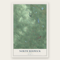
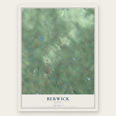
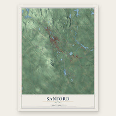
More maps nearby: Acton, Alfred, Shapleigh, South Berwick and Lyman.
The art of mapping a place
How This Map Was Made
Real places. Remarkable detail. Discover the layers that turn geographic data into a map of home.

The view from above
Aerial imagery reveals the character of the land: woodland, open fields, and the patterns of a place.

The shape of the land
Elevation data brings hills, valleys, and subtle changes in the landscape into view.

The details of home
Roads, waterways, and building footprints come together to make the map feel unmistakably local.

Geography becomes art
Considered color, shading, and typography bring the layers together in a map made for your wall.


Process illustrated with Mendon, Massachusetts. Aerial imagery: USDA NAIP. Terrain: USGS 3D Elevation Program. Map details and finished artwork: KNOWOL.
The Details
About This Print
Choose an archival matte print, or a black or white Ayous wood frame. The archival matte print is unframed.
Select your size and finish above to see the matching product image and price.
Materials & Craftsmanship
A contemporary map with the character of a classic atlas, printed on archival matte paper. Optional frames are made from Ayous wood.
Your printed map does not include the watermark shown in the full-map preview.
Shipping & Delivery
Free shipping within the United States. Every print is made to order in the USA.
Buying a gift? Add a note in your cart and we'll include it. We never put prices in the package.
Prints ship within 2 to 3 business days. Allow 7 to 10 days total from ordering for delivery. Timing may vary during holidays or periods of high order volume.
Read our shipping policy.
Returns and damaged prints
Each print is made to order. Change-of-mind refunds are not available after production.
If your print arrives damaged, misprinted or incorrect, contact support@knowol.com within 30 days of receiving it. Include your order number, photos and a description of the issue.
Read our full refund and replacement policy. For questions about your order, email support@knowol.com.