
Search for another town


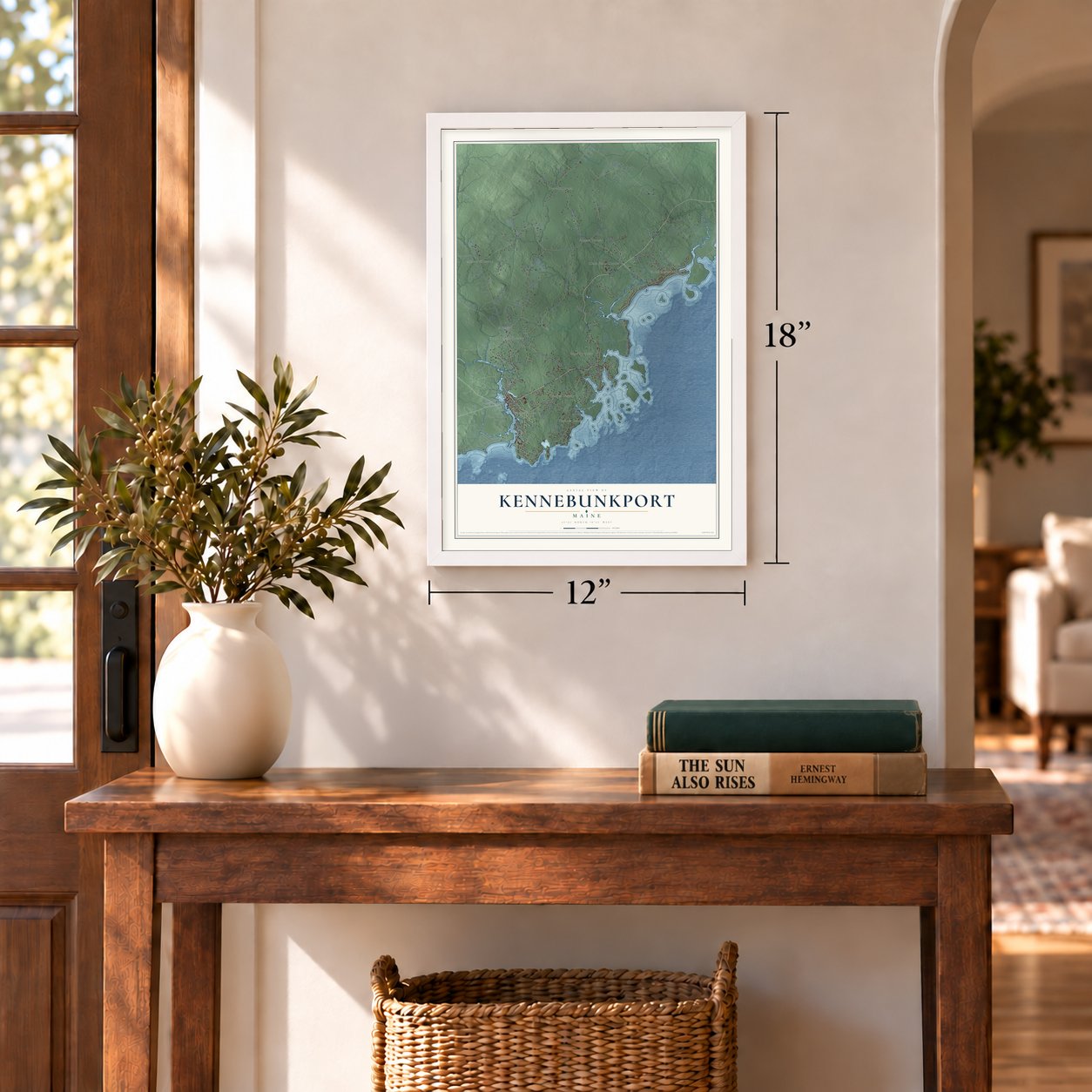
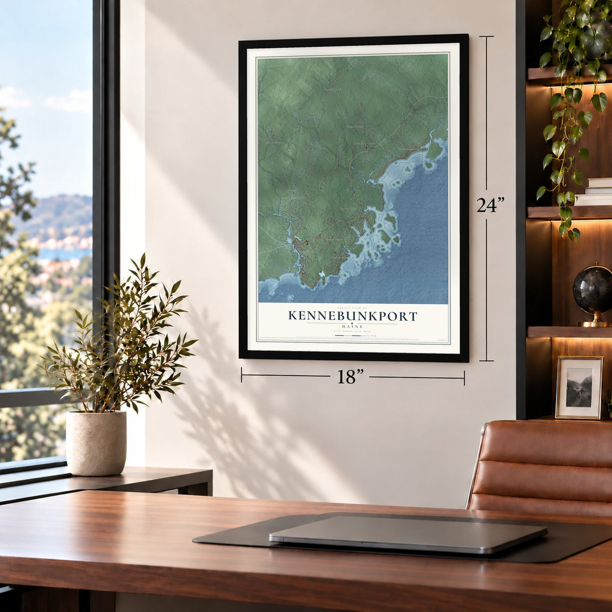
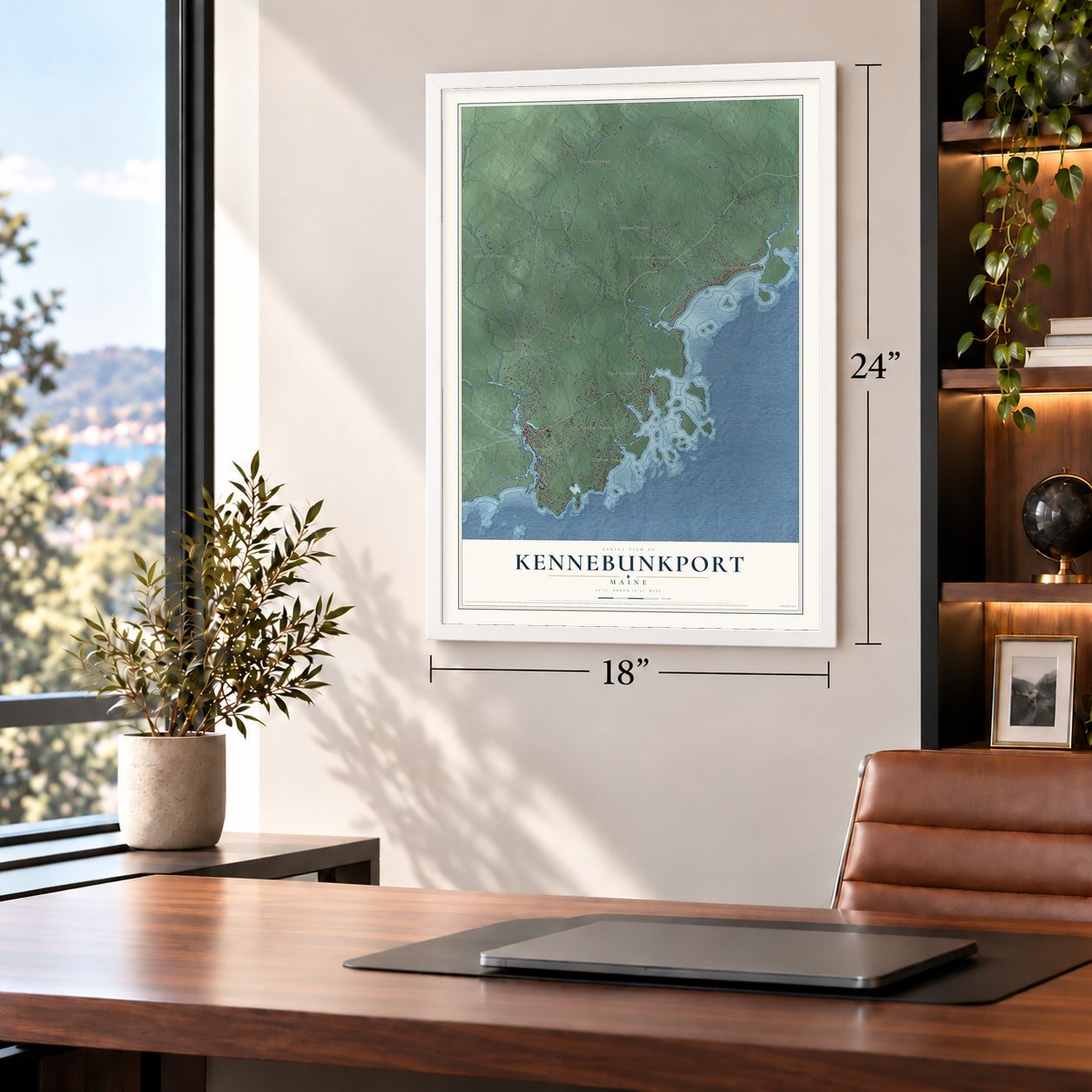
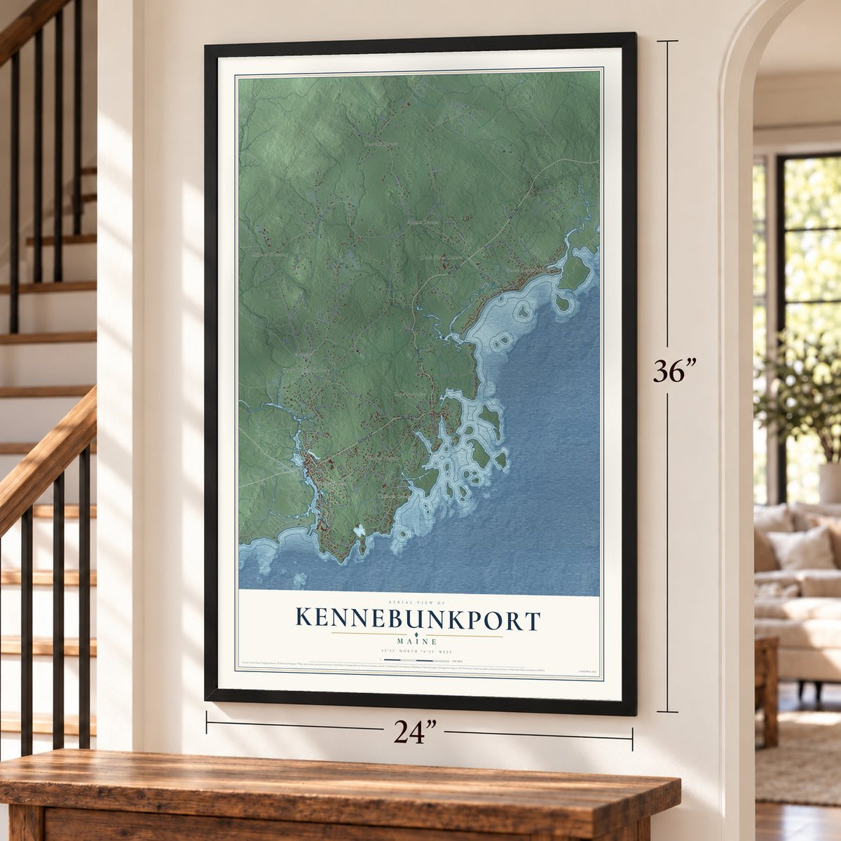

Free U.S. delivery 7 to 10 days after you order
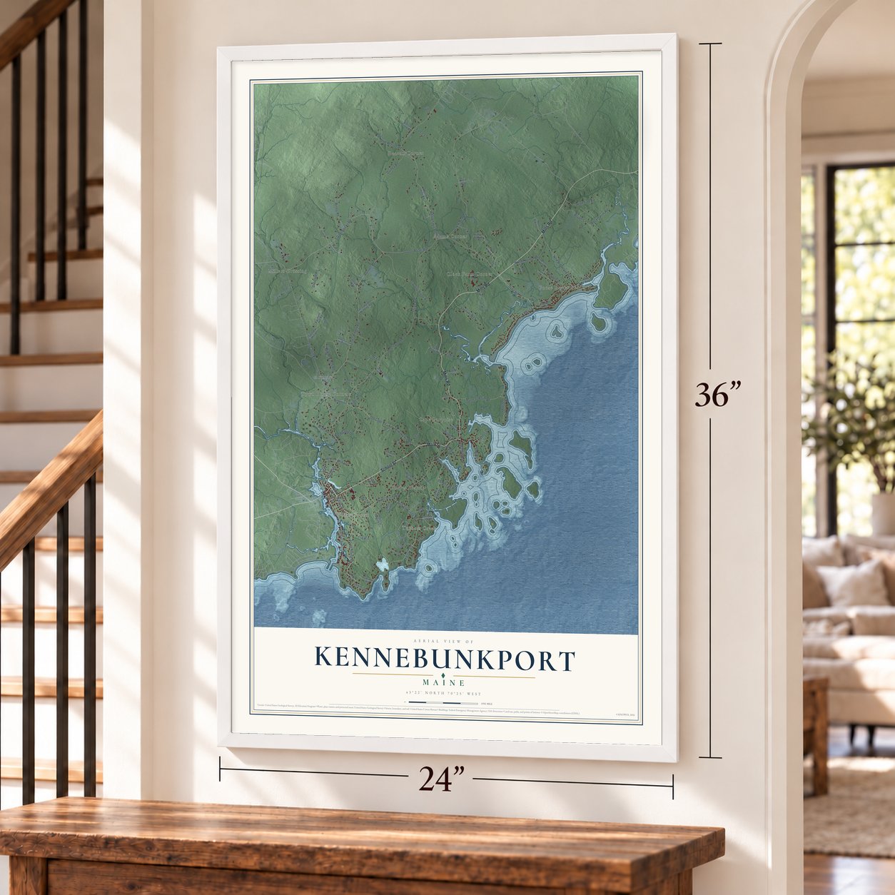
Kennebunkport, Maine Map Art
Building by building, with labeled streets and shaded relief.
12" x 18" Archival Matte Print
A Map of Home. A Work of Art.
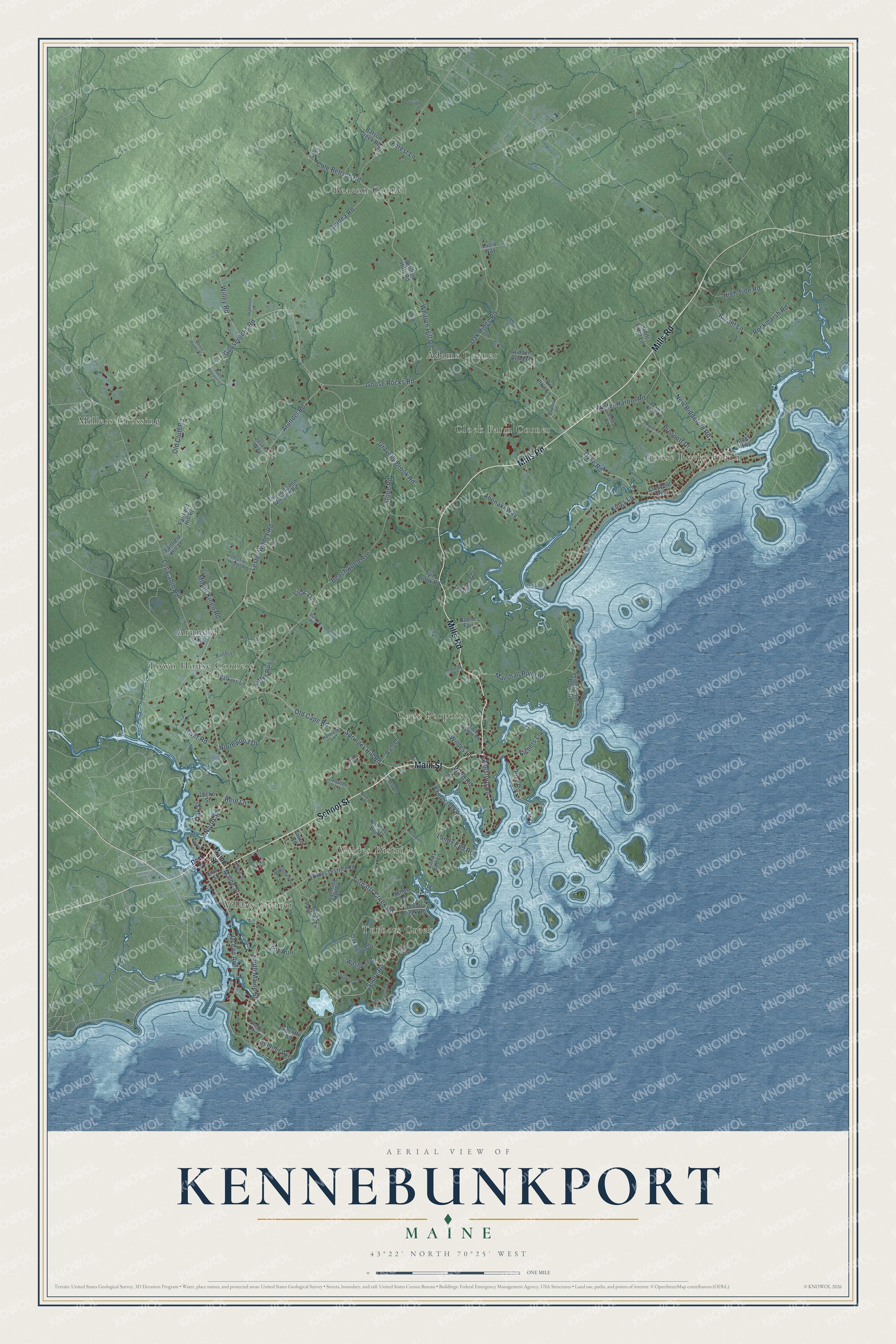
Explore Kennebunkport, Maine from a whole new perspective. Created using aerial imagery and detailed geographic data, this map captures Kennebunkport building by building, with labeled streets, familiar landmarks, and shaded topographical relief that highlights the natural contours of the landscape.
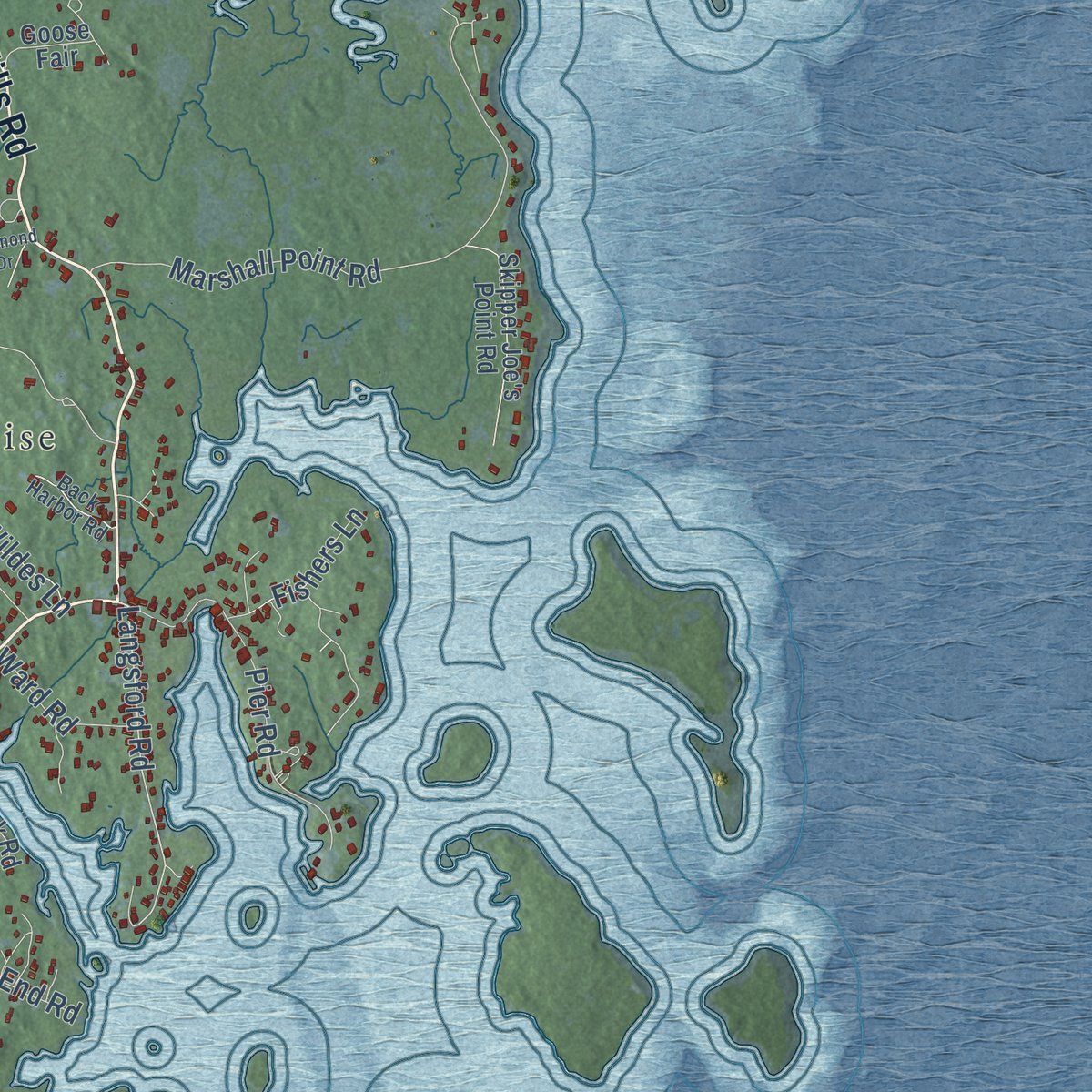
Combining modern data with the timeless character of a vintage atlas, this map is just as interesting up close as it is beautiful on the wall. Whether you grew up in Kennebunkport, spent memorable years there, or call it home today, this unique map is a great way to celebrate a place that means something to you. Zoom in on the preview to look for your street, and then order a print to put your memories on the wall.
Three ways to hang it
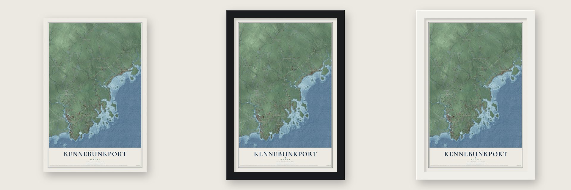
Unframed archival matte, a black wood frame or a white wood frame.
Up close
Geography Worth Displaying
This map was created using accurate cartographic data and authoritative geographic sources, including the U.S. Geological Survey (USGS) and FEMA. The map brings together terrain, waterways, roads, and building detail. The majority of the streets are labeled, houses are accurately depicted, and the topography is derived from government sources. Combining local data with carefully composed color and shading leads to this beautifully detailed Kennebunkport artwork for your wall.
Rather than simply showing street outlines, we’ve included as many of the street names as we could reasonably fit on the map while keeping their names legible. Zoom in on the high resolution preview to see exactly what’s on the map. We truly set out to create a statement piece for anyone who loves Kennebunkport. So whether it’s for you, or a gift for someone you love, we hope this map of Kennebunkport brings back fond memories.
Explore the full map of Kennebunkport, Maine and read about the local places it shows.
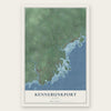
Find your street
Names on the Kennebunkport map
Every name below is printed on this map. Look for your street, your school, the park where you played, or the pond down the road.
Places and landmarks11
- Cape Porpoise
- Beacon Corner
- Wildes Corner
- Millers Crossing
- Goose Rocks Beach
- Town House Corners
- Wildes District
- Adams Corner
- Turbats Creek
- Clock Farm Corner
- Arundel
Streets and roads113
- School Street
- Main Street
- Mills Road
- South Maine Street
- Maine Street
- Langsford Road
- North Street
- Old Cluff Road
- Gravelly Brook Road
- New Biddeford Road
- Goose Rocks Road
- Ocean Avenue
- Gooserocks Road
- Arundel Road
- Lester Wildes Road
- Beachwood Avenue
- Kings Lane
- Guinea Road
- Log Cabin Road
- Oak Ridge Road
- Springer Hill Road
- Whitten Hill Road
- Marshall Point Road
- Old Cape Road
- Stone Road
- Turbatts Creek Road
- Bryant Lane
- Shore Road
- Northwood Drive
- Dyke Road
Show all 113 streets
- Pier Road
- River Road
- Willey Road
- Winter Harbor Road
- Lands End Road
- Wildes Lane
- Abenaki Way
- Cole Benson Road
- High Tide Road
- Mount Kineo Road
- Rockmarsh Road
- Prescott Drive
- Fishers Lane
- Ward Road
- Summit Avenue
- Lilac Lane
- Kittys Run
- Fox Run
- Forest Lane
- Oak Street
- Reid Lane
- Kings Highway
- Wildes District Road
- Whitten Hills Road
- Oakwood Drive
- Turbats Creek Road
- Tidal Shore Drive
- Hidden Pond Lane
- Tyler Brook Road
- Ox Plow Lane
- Rocky Pasture Lane
- Batson Creek Road
- Skipper Joe's Point Road
- Walkers Lane
- Goose Fair
- Lands End Lane
- The Long and Winding Road
- Bath Lane
- Paddy Creek Road
- Wolff Farm Lane
- Washburn Drive
- Fairfield Hill Road
- Lynnsey Hollow
- Nehoc Lane
- Nunans Bluff
- Crescent Avenue
- Endcliffe Road
- Squier Lane
- Jasons Way
- Locke Street
- Fairfield Hill Lane
- Lucia Way
- Elm Street
- Laurel Road
- Dock Square
- Old Fort Avenue
- Oxplow Lane
- Woodlawn Avenue
- Barter Lane
- Kenneth Lane
- Beaver Pond Road
- Back Harbor Road
- Towne Street
- Abbey Road
- Moose Rocks Road
- Windemere Place
- Elizabethan Drive
- Redmond Drive
- Skyline Drive
- Ridge Lane
- Halcyon Way
- Apple Blossom Lane
- Granite Heights Road
- Bailey Court
- Skydance Lane
- Grove Street
- Duckwood Lane
- Portside Drive
- Capestone Drive
- Roseleith Lane
- Lyns Lane
- Church Lane
- Dump Road
Names are listed as they appear on the printed map. Zoom into the product photos to find them.
About Kennebunkport, Maine
Kennebunkport is a resort town of 3,629 people in York County, with its center at Dock Square on the Kennebunk River, about 1 mile up from the ocean. English settlers incorporated it as Cape Porpus in 1653, under the rule of the Massachusetts Bay Colony. Abenaki resistance pushed them out by 1689, and they stayed away for at least ten years.
Settlers returned and renamed the town Arundel in 1701, moving its center inland to Burbank Hill. The Wabanaki Confederacy drove the English out again from 1703 to 1717 and kept fighting colonists until King George's War ended in 1748. As the town came to live on shipbuilding and trade along the river, it took the name Kennebunkport in 1821. By the 1870s hotels and summer homes lined the coast, at Cape Arundel, Cape Porpoise and Beachwood, the place now called Goose Rocks.
- NampscoscockArcheologists have found signs of people at Cape Porpoise from 7000 years ago. When Europeans arrived in 1602, Almouchiquois communities lived here and called the place Nampscoscock. Land records from 1640 name one of their sagamores as "Thomas" Chabinock.
- The Loyalist raid of 1782On August 8, 1782, the 16 gun Loyalist brig Miriam and the schooner Hammond seized a schooner and a sloop from Newbury, Massachusetts, off Arundel. The sloop ran aground on Goat Island and was set on fire, and the town militia fought the raiders from shore. Captain James Burnham was killed, and Samuel Wildes, a civilian, was wounded after he told the Loyalists to hand back the captured boats.
- A trolley museum since 1939In 1939 a group of railway fans paid for an open trolley that the Biddeford & Saco Railroad had taken out of service, then moved it to farmland they rented on Log Cabin Road. A second group brought in a car that had run on the Manchester and Nashua Street Railway, and the two groups combined, incorporating in 1941 as the New England Electric Railway Historical Society.
- Summers at Walker's PointBanker George Herbert Walker built a summer home on the point once called Point Vesuvius, and it has stayed in the family ever since. His grandson, President George H. W. Bush, welcomed world leaders there, Margaret Thatcher and Mikhail Gorbachev among them. In 2007 his son, President George W. Bush, hosted Vladimir Putin and Nicolas Sarkozy at the same house.
- The Great Fires of 1947The fires that swept across York County in 1947 hit Kennebunkport hard, especially around Goose Rocks Beach, where much of the housing burned. The neighborhood was rebuilt in the years that followed.
Keep exploring Maine
Kennebunkport is one of 536 Maine towns we've mapped. Every dot on the map is a print of its own.
The search covers every state, Maine first.
Near Kennebunkport
Order 2 or more town maps and save 10%. Shown in the size and finish you picked above, so they hang as a set.
- Biddeford 12" x 18" / Archival Matte Print $39.99
- Kennebunk 12" x 18" / Archival Matte Print $39.99
- Arundel 12" x 18" / Archival Matte Print $39.99
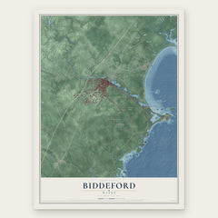
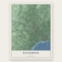
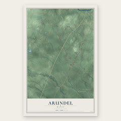
More maps nearby: West Kennebunk, Wells, Saco, Ogunquit and Old Orchard Beach.
The art of mapping a place
How This Map Was Made
Real places. Remarkable detail. Discover the layers that turn geographic data into a map of home.

The view from above
Aerial imagery reveals the character of the land: woodland, open fields, and the patterns of a place.

The shape of the land
Elevation data brings hills, valleys, and subtle changes in the landscape into view.

The details of home
Roads, waterways, and building footprints come together to make the map feel unmistakably local.

Geography becomes art
Considered color, shading, and typography bring the layers together in a map made for your wall.


Process illustrated with Mendon, Massachusetts. Aerial imagery: USDA NAIP. Terrain: USGS 3D Elevation Program. Map details and finished artwork: KNOWOL.
The Details
About This Print
Choose an archival matte print, or a black or white Ayous wood frame. The archival matte print is unframed.
Select your size and finish above to see the matching product image and price.
Materials & Craftsmanship
A contemporary map with the character of a classic atlas, printed on archival matte paper. Optional frames are made from Ayous wood.
Your printed map does not include the watermark shown in the full-map preview.
Shipping & Delivery
Free shipping within the United States. Every print is made to order in the USA.
Buying a gift? Add a note in your cart and we'll include it. We never put prices in the package.
Prints ship within 2 to 3 business days. Allow 7 to 10 days total from ordering for delivery. Timing may vary during holidays or periods of high order volume.
Read our shipping policy.
Returns and damaged prints
Each print is made to order. Change-of-mind refunds are not available after production.
If your print arrives damaged, misprinted or incorrect, contact support@knowol.com within 30 days of receiving it. Include your order number, photos and a description of the issue.
Read our full refund and replacement policy. For questions about your order, email support@knowol.com.