
Search for another town
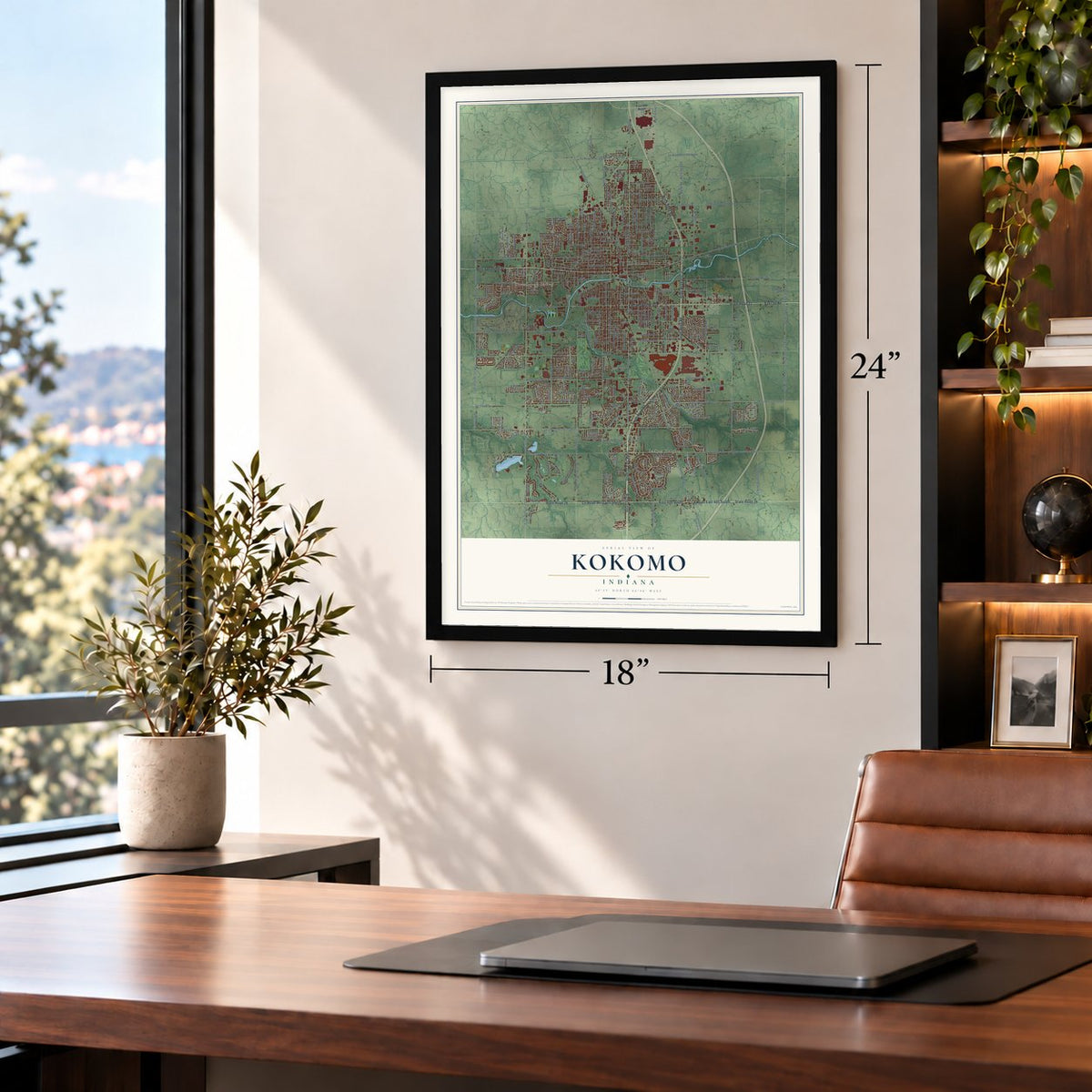
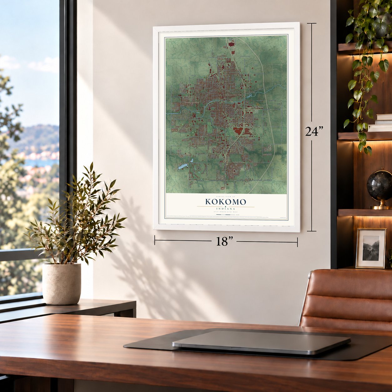
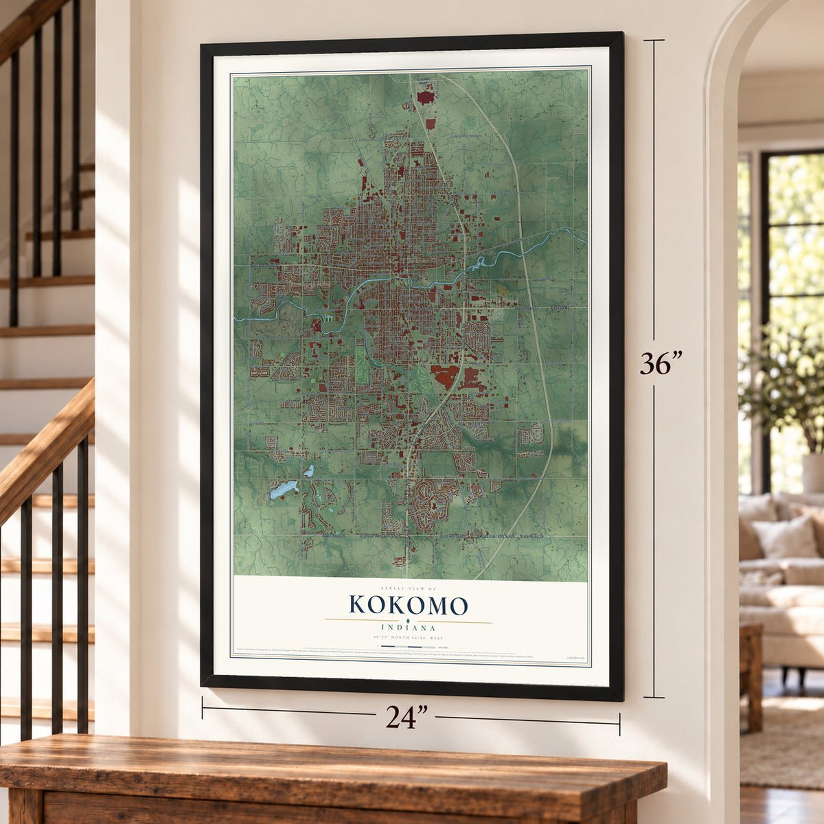
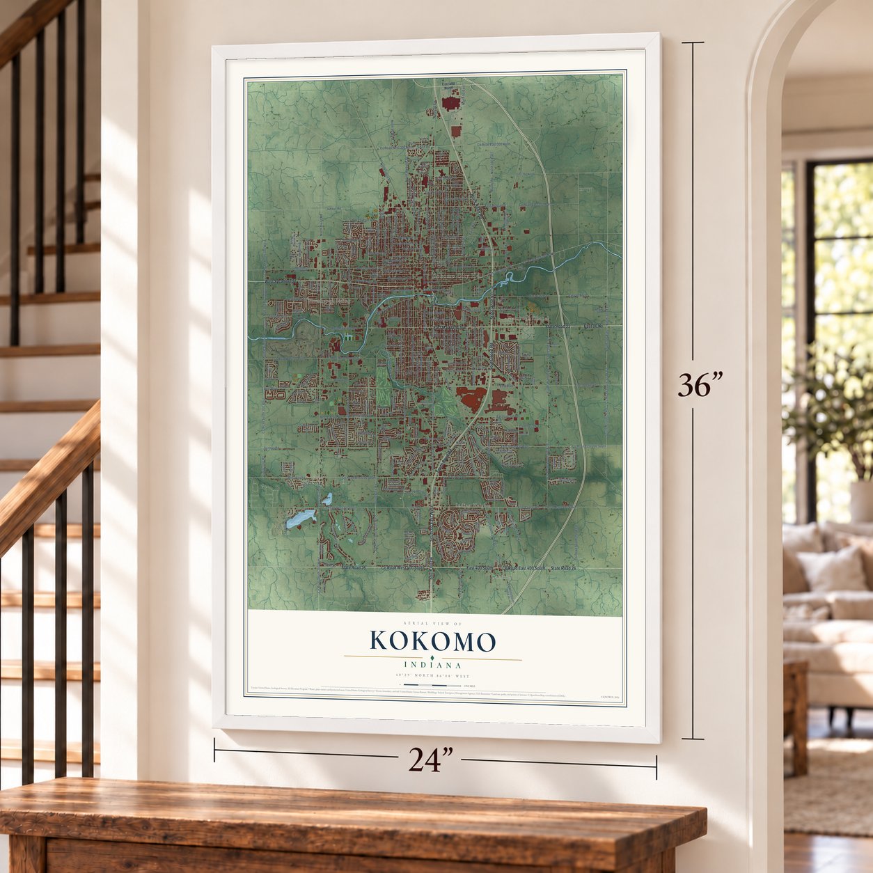
Free U.S. delivery 7 to 10 days after you order
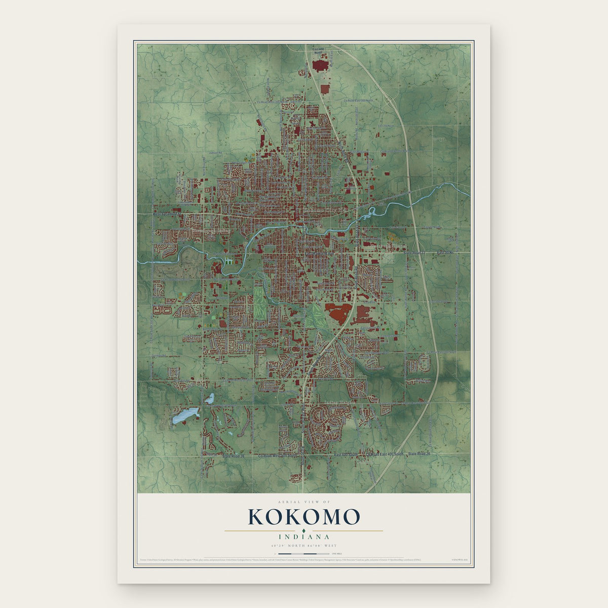
Kokomo, Indiana Map Art
Building by building, with labeled streets and shaded relief.
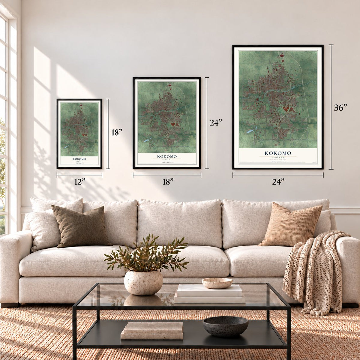
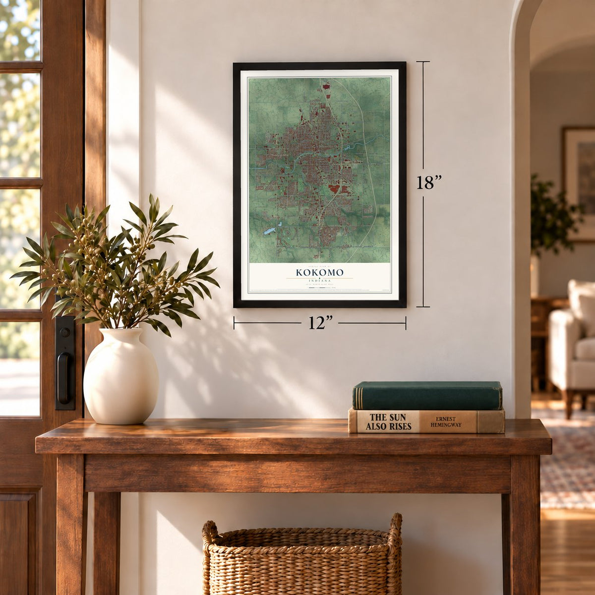
12" x 18" Archival Matte Print
A Map of Home. A Work of Art.
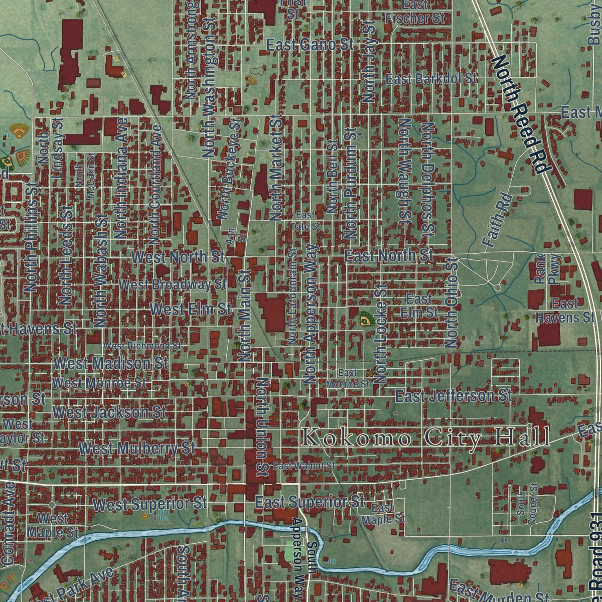
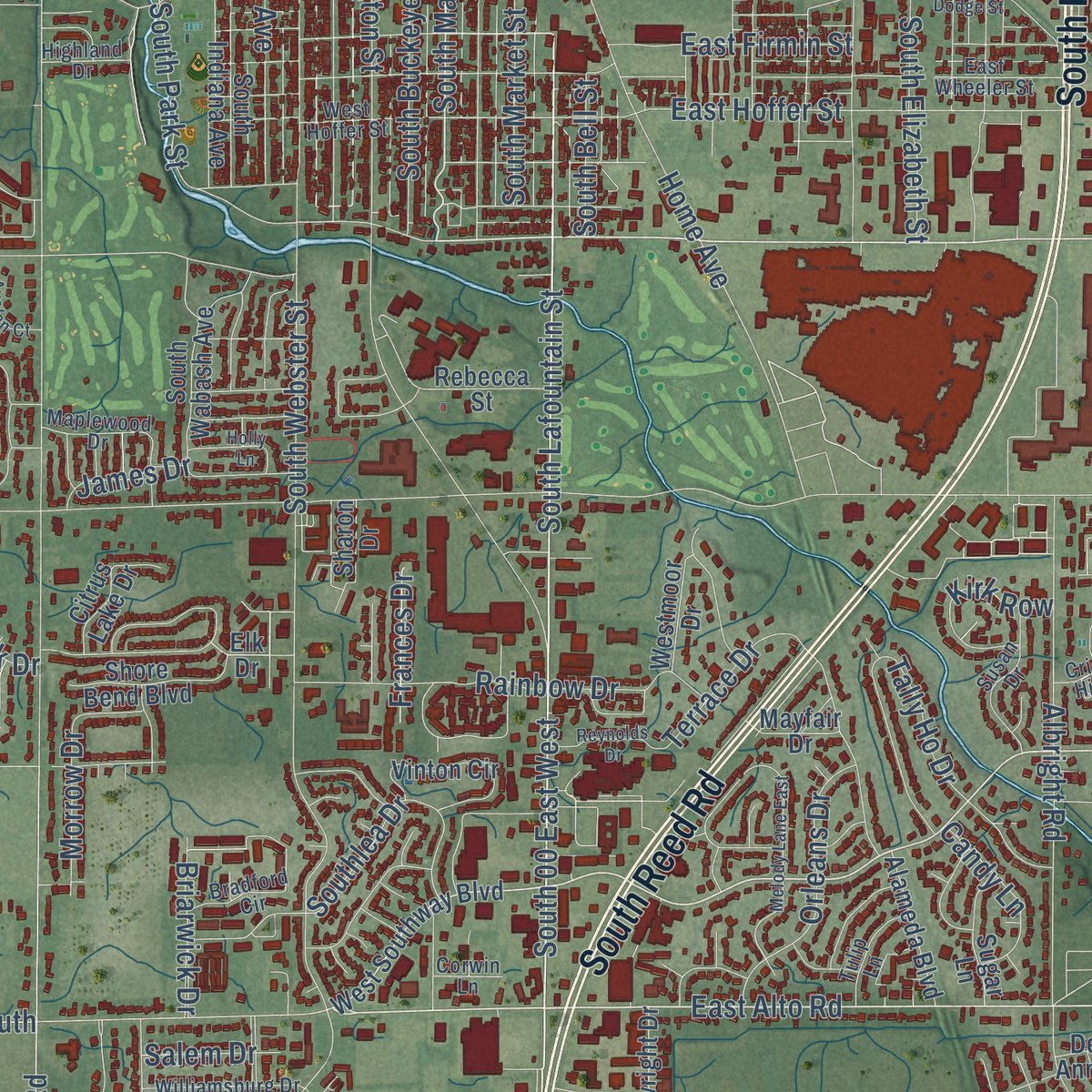
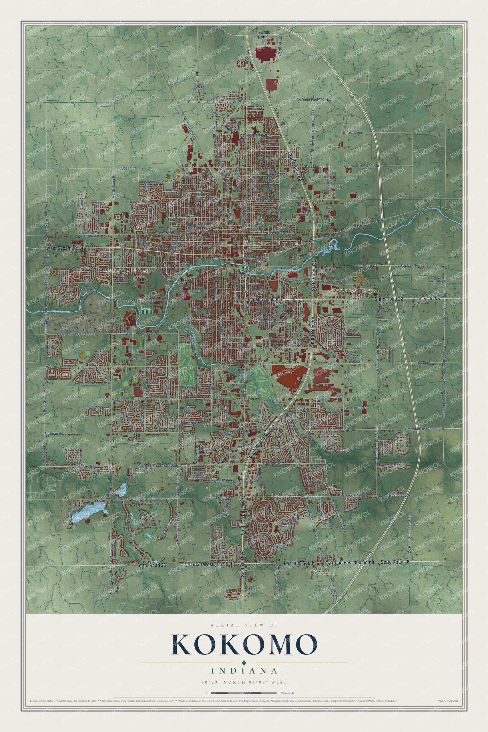
Explore Kokomo, Indiana from a whole new perspective. Created using aerial imagery and detailed geographic data, this map captures Kokomo building by building, with labeled streets, familiar landmarks, and shaded topographical relief that highlights the natural contours of the landscape.
Combining modern data with the timeless character of a vintage atlas, this map is just as interesting up close as it is beautiful on the wall. Whether you grew up in Kokomo, spent memorable years there, or call it home today, this unique map is a great way to celebrate a place that means something to you. Zoom in on the preview to look for your street, and then order a print to put your memories on the wall.
Three ways to hang it
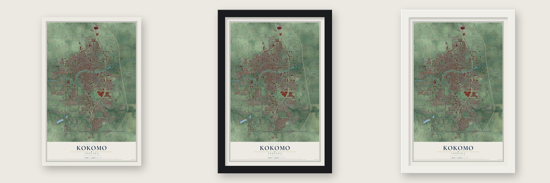
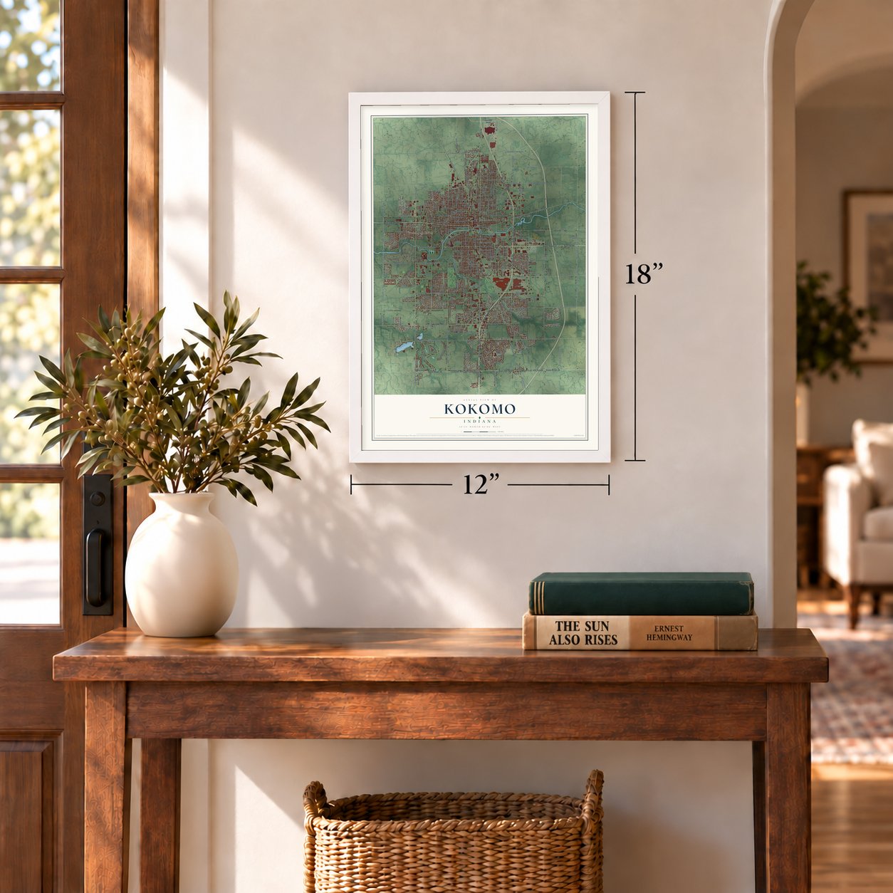
Unframed archival matte, a black wood frame or a white wood frame.
Up close
Geography Worth Displaying
This map was created using accurate cartographic data and authoritative geographic sources, including the U.S. Geological Survey and the Census Bureau. The map brings together terrain, waterways, roads, and building detail. The majority of the streets are labeled, houses are accurately depicted, and the topography is derived from government sources. Combining local data with carefully composed color and shading leads to this beautifully detailed Kokomo artwork for your wall.
Rather than simply showing street outlines, we’ve included as many of the street names as we could reasonably fit on the map while keeping their names legible. Zoom in on the high resolution preview to see exactly what’s on the map. We truly set out to create a statement piece for anyone who loves Kokomo. So whether it’s for you, or a gift for someone you love, we hope this map of Kokomo brings back fond memories.
Read the story behind this map of Kokomo, Indiana from 2026.
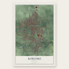
Find your street
Names on the Kokomo map
Every name below is printed on this map. Look for your street, your school, the park where you played, or the pond down the road.
Places and landmarks6
- Kokomo City Hall
- Oakford
- Alto
- Indian Heights
- Darrough Chapel
- Shambaugh Siding
Streets and roads354
- East Markland Avenue
- East 00 Ns
- South 00 East West
- West Sycamore Street
- South Reed Road
- State Road 931
- State Road 22
- North Reed Road
- State Road 26
- County Road East 400 South
- East 400 South
- South 00 Ew
- County Road West 400 South
- West Alto Road
- North Apperson Way
- South Lafountain Street
- East Southway Boulevard
- West Markland Avenue
- South Main Street
- East Alto Road
- County Road West 300 North
- County Road East 200 South
- East Firmin Street
- East Boulevard
- Smith Road
- North Main Street
- East Gano Street
- North Dixon Road
- South Dixon Road
- County Road East 100 North
Show all 354 streets
- North Phillips Street
- Colter Drive
- East Superior Street
- East Center Road
- County Road West 300 South
- Walton Way
- South Waugh Street
- East Carter Street
- South Webster Street
- South Park Road
- County Road South 200 East
- North Washington Street
- West Boulevard
- West Jefferson Street
- Isaac Walton Road
- South Washington Street
- South Goyer Road
- County Road South 300 West
- County Road South 200 West
- North Webster Street
- South Berkley Road
- Zartman Road
- Touby Pike
- East Sycamore Street
- County Road West 250 South
- County Road South 100 West
- County Road South 300 East
- South Hardbeck Road
- Malfalfa Road
- West Lincoln Road
- North Ohio Street
- East Vaile Avenue
- West Carter Street
- Home Avenue
- North Locke Street
- North Delphos Street
- East Lincoln Road
- North Purdum Street
- South Union Street
- County Road East 300 North
- West Park Avenue
- Albright Road
- South Courtland Avenue
- West Defenbaugh Street
- Council Ring Boulevard
- County Road East 300 South
- County Road South 100 East
- County Road North 300 West
- West Madison Street
- East Jefferson Street
- East North Street
- South Elizabeth Street
- North Market Street
- East Morgan Street
- Columbus Boulevard
- South Armstrong Street
- South Buckeye Street
- County Road South 150 East
- North Davis Road
- North 50 East
- West Judson Road
- North Jay Street
- West Mulberry Street
- North Wabash Street
- South Plate Street
- East 100 South
- County Road East 200 North
- North Indiana Avenue
- West Walnut Street
- East Hoffer Street
- Judson Road
- West Havens Street
- Timber Valley Drive
- North Waugh Street
- West Superior Street
- Santa Fe Boulevard
- Arrowhead Boulevard
- Busby Road
- North 100 East
- County Road West 50 South
- County Road South 250 East
- East 50 North
- West North Street
- North Leeds Street
- South 200 East
- South Market Street
- South 300 East
- Third Street
- West Elm Street
- South Jay Street
- South Calumet Street
- South Bell Street
- Elva Drive
- West Jackson Street
- Rainbow Drive
- Springwater Road
- North 00 Ew
- Southlea Drive
- South Galveston Road
- South 17th Street
- Orleans Drive
- Berkley Road
- North Union Street
- East Harrison Street
- Crooked Stick Drive
- Congress Drive
- South Ohio Street
- Foxfire Lane
- Mill Street
- South Park Street
- Tally Ho Drive
- East Gerhart Street
- Gleneagles Drive
- Whitehouse Drive
- East Murden Street
- Greytwig Drive
- Bluegrass Trail
- Bowyer Drive
- East King Street
- Mohr Drive
- Wea Drive
- North 300 East
- Wynterbrooke Drive
- Galveston Road
- West Pipeline Way
- Morrow Drive
- Lynn Drive
- James Drive
- North 80 West
- Yale Boulevard
- Miami Boulevard
- Hogan Drive
- Saint Louis Drive
- Riverview Drive
- Faith Road
- Emerald Place
- Philadelphia Drive
- Terrace Drive
- Candy Lane
- Commerce Drive
- Bagley Drive
- Greentree Lane
- Center Road
- Westbrook Drive
- Briarwick Drive
- Brooke Road
- Pontiac Drive
- Frances Drive
- Conradt Avenue
- Kirk Row
- Teepee Drive
- Salem Drive
- Conti Lane
- Covey Lane
- Sibley Drive
- Echo Lane
- Ivy Drive
- East 400 North
- West Southway Boulevard
- Elk Drive
- Lewis Street
- North Buckeye Street
- North Bell Street
- West Taylor Street
- North 300 West
- North Lindsay Street
- North Armstrong Street
- South Indiana Avenue
- North Courtland Avenue
- Fourth Street
- South Wabash Avenue
- East Barkdol Street
- West Broadway Street
- West Monroe Street
- West Tate Street
- East Foster Street
- East Havens Street
- Carmelita Boulevard
- West Harrison Street
- West State Street
- Cadillac Drive East
- North Korby Street
- County Road South 125 East
- West Maple Street
- County Road North 200 East
- North Berkley Road
- West Foster Street
- Alameda Boulevard
- Branded Boulevard
- North Forest Drive
- Kerri Lynn Lane
- West King Street
- Cartwright Drive
- Foxhaven Drive
- County Road West 100 North
- County Road South 50 East
- East Fischer Street
- East Elm Street
- Witherspoon Drive
- Magnolia Drive
- Vinton Circle
- Willow Springs Road
- Baton Rouge Drive
- Pine Ridge Drive
- Silver Charm Drive
- Shore Bend Boulevard
- First Street
- Saint Joseph Drive
- Mayfair Drive
- Riley Lane
- Maumee Drive
- Westmoor Drive
- East 250 North
- Cameron Drive
- Cherry Hill Lane
- Laramie Lane
- Citrus Lake Drive
- Mayor Drive
- Walker Avenue
- Huston Lane
- Sugar Lane
- Dee Ann Drive
- Meadow View Drive
- Kyle Lane
- Olds Drive
- Wigwam Drive
- Rebecca Street
- Gordon Drive
- Balmoral Boulevard
- Mirage Drive
- Schick Drive
- Bennett Street
- Clinton Avenue
- Spring Mill Drive
- Oakhill Road
- Wright Drive
- Edward Drive
- Rank Parkway
- Sharon Drive
- Elliott Court
- Duke Drive
- Alton Drive
- Artisan Drive
- Holiday Drive
- Ryan Court
- Mark Lane
- Darby Street
- Luke Court
- Chip Lane
- North Lafountain Street
- East Wheeler Street
- South Locke Street
- East State Street
- South Delphos Street
- Kingston Road
- Saratoga Avenue
- Maplewood Drive
- Executive Drive
- West Hoffer Street
- Fifth Street
- Bradford Circle
- Princeton Drive
- Bent Creek Road
- Susan Drive
- Rockford Lane
- Williamsburg Drive
- East Maple Street
- Branch Court
- Creekwood Trail
- South Lindsay Street
- Alta Lane
- East Baxter Road
- Golden Gate Way
- Coventry Drive
- Tulip Lane
- Ariel Drive
- Country Lane
- Seattle Slew Lane
- Delray Street
- Highland Drive
- Weston Drive
- Cricket Hill Drive
- Dixon Lane
- Grey Rock Lane
- Belmont Street
- Locust Lane
- Corwin Lane
- Fenley Street
- South Apperson Way
- North Park Drive
- Melody Lane East
- North McCann Street
- South Cooper Street
- East Monroe Street
- East Walnut Street
- Springdale Drive
- Meadowbrook Drive
- North Galveston Road
- East Tate Street
- West Richmond Street
- Pineridge Drive
- Southdowns Drive
- Westminster Lane
- Kennington Way
- Emerald Boulevard
- South Diamond Street
- Hazelnut Drive
- Mendota Drive
- Reynolds Drive
- County Road South 123 East
- Carol Lynn
- Peace Pipe Drive
- Eastbrook Drive
- Wickersham Drive East
- Holly Lane
- Winthrop Lane
- East Dodge Street
- Orchard Lane
- Windsor Drive
- Precision Drive
- Avalon Court
- Ann Street
- Chris Court
- Finnie Lee Drive
Names are listed as they appear on the printed map. Zoom into the product photos to find them.
About Kokomo, Indiana
Kokomo is a city of 59,604 people and the seat of Howard County, which was called Richardville County until 1846. It takes its name from Ma-Ko-Ko-Mo, a Miami man known as Chief Kokomo, who is thought to have lived from 1775 to 1838. When the county was organized in 1844, the only buildings here were trader David Foster's log house and barn and a few Miami huts. The commissioners wanted his fertile land south of Wildcat Creek for the county seat, but Foster gave them 40 swampy, wooded acres north of it instead.
Lots went on sale on October 18, 1844, and Rufus L. Blowers finished a log courthouse in 1845. He had been promised $28 for the job and lost $2 of it for running late. The courts brought steady business, and the settlement grew quickly. In 1855 voters chose to incorporate as a town by 62 to 3. On March 31, 1865, Kokomo voted to become a city and elected Nelson Purdum as its first mayor.
- Gas struck in 1886In March 1886, A.Y. Comstock and D.C. Spraker asked residents to pay $100 apiece toward a well at least 2,000 feet deep. It took until September to sign up 22 subscribers. Drillers set up the rig on the Wildcat Creek's south side, and gas burst from the well on October 6, 1886. Cheap fuel drew the Diamond Plate Glass Company in 1887 and the Kokomo Opalescent Glass Works in 1888, which still makes stained glass.
- Haynes drove on July 4, 1894The gas boom brought Elwood Haynes to Kokomo as a gas company superintendent. He test-drove his early internal-combustion car here on July 4, 1894. In 1898 the Haynes-Apperson Automobile Company was formed in Kokomo to build cars for sale. In 1912 Haynes invented stainless steel flatware so his wife would have dinnerware that never tarnished.
- The depot on Buckeye StreetKokomo's first train stopped here in 1854 on the Peru and Indianapolis Railroad. Samuel C. Mills and Dr. Corydon Richmond, business rivals of David Foster, gave the railroad lots so the depot would sit near their property. Merchants had the tracks laid along Buckeye Street to save on hauling. For a while Kokomo was the end of the line, until the tracks reached Peru and then Michigan City.
- The City of FirstsKokomo's long string of inventions earned it the official nickname City of Firsts. General Motors' Delco Radio Division developed the first pushbutton car radio here, in 1938.
Keep exploring Indiana
Kokomo is one of 1,023 Indiana towns we've mapped. Every dot on the map is a print of its own.
The search covers every state, Indiana first.
Near Kokomo
Order 2 or more town maps and save 10%. Shown in the size and finish you picked above, so they hang as a set.
- Center 12" x 18" / Archival Matte Print $39.99
- West Middleton 12" x 18" / Archival Matte Print $39.99
- Hemlock 12" x 18" / Archival Matte Print $39.99
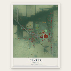
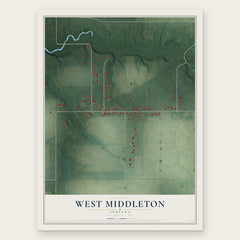
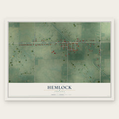
More maps nearby: Cassville, Sharpsville, New London, Russiaville and Galveston.
The art of mapping a place
How This Map Was Made
Real places. Remarkable detail. Discover the layers that turn geographic data into a map of home.

The view from above
Aerial imagery reveals the character of the land: woodland, open fields, and the patterns of a place.

The shape of the land
Elevation data brings hills, valleys, and subtle changes in the landscape into view.

The details of home
Roads, waterways, and building footprints come together to make the map feel unmistakably local.

Geography becomes art
Considered color, shading, and typography bring the layers together in a map made for your wall.


Process illustrated with Mendon, Massachusetts. Aerial imagery: USDA NAIP. Terrain: USGS 3D Elevation Program. Map details and finished artwork: KNOWOL.
The Details
About This Print
Choose an archival matte print, or a black or white Ayous wood frame. The archival matte print is unframed.
Select your size and finish above to see the matching product image and price.
Materials & Craftsmanship
A contemporary map with the character of a classic atlas, printed on archival matte paper. Optional frames are made from Ayous wood.
Your printed map does not include the watermark shown in the full-map preview.
Shipping & Delivery
Free shipping within the United States. Every print is made to order in the USA.
Buying a gift? Add a note in your cart and we'll include it. We never put prices in the package.
Prints ship within 2 to 3 business days. Allow 7 to 10 days total from ordering for delivery. Timing may vary during holidays or periods of high order volume.
Read our shipping policy.
Returns and damaged prints
Each print is made to order. Change-of-mind refunds are not available after production.
If your print arrives damaged, misprinted or incorrect, contact support@knowol.com within 30 days of receiving it. Include your order number, photos and a description of the issue.
Read our full refund and replacement policy. For questions about your order, email support@knowol.com.