
Search for another town




Free U.S. delivery 7 to 10 days after you order
La Porte, Indiana Map Art
Building by building, with labeled streets and shaded relief.
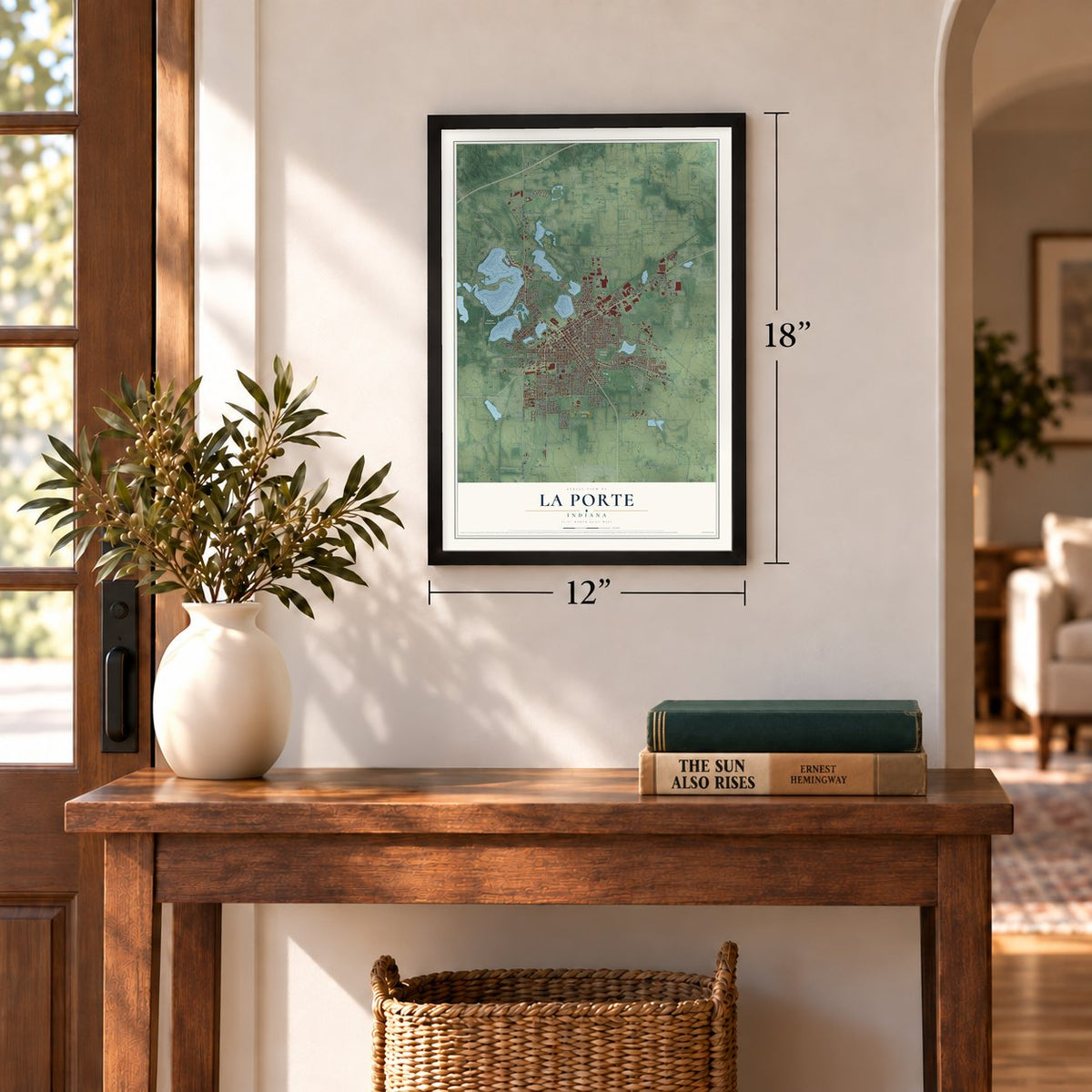
12" x 18" Archival Matte Print
A Map of Home. A Work of Art.
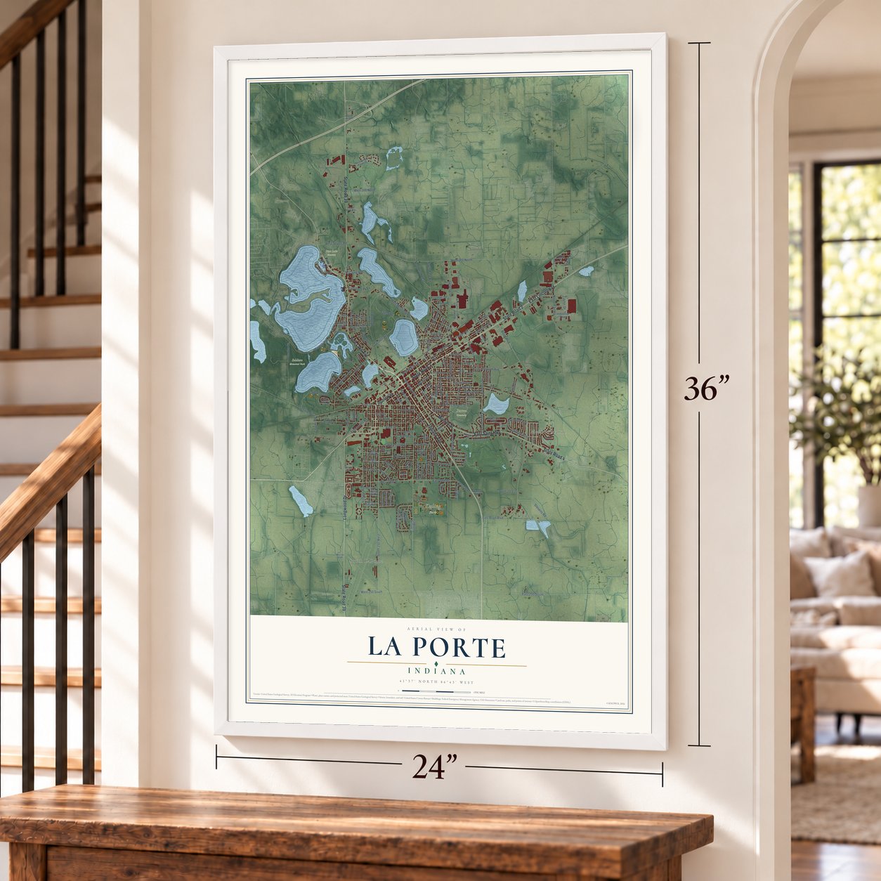
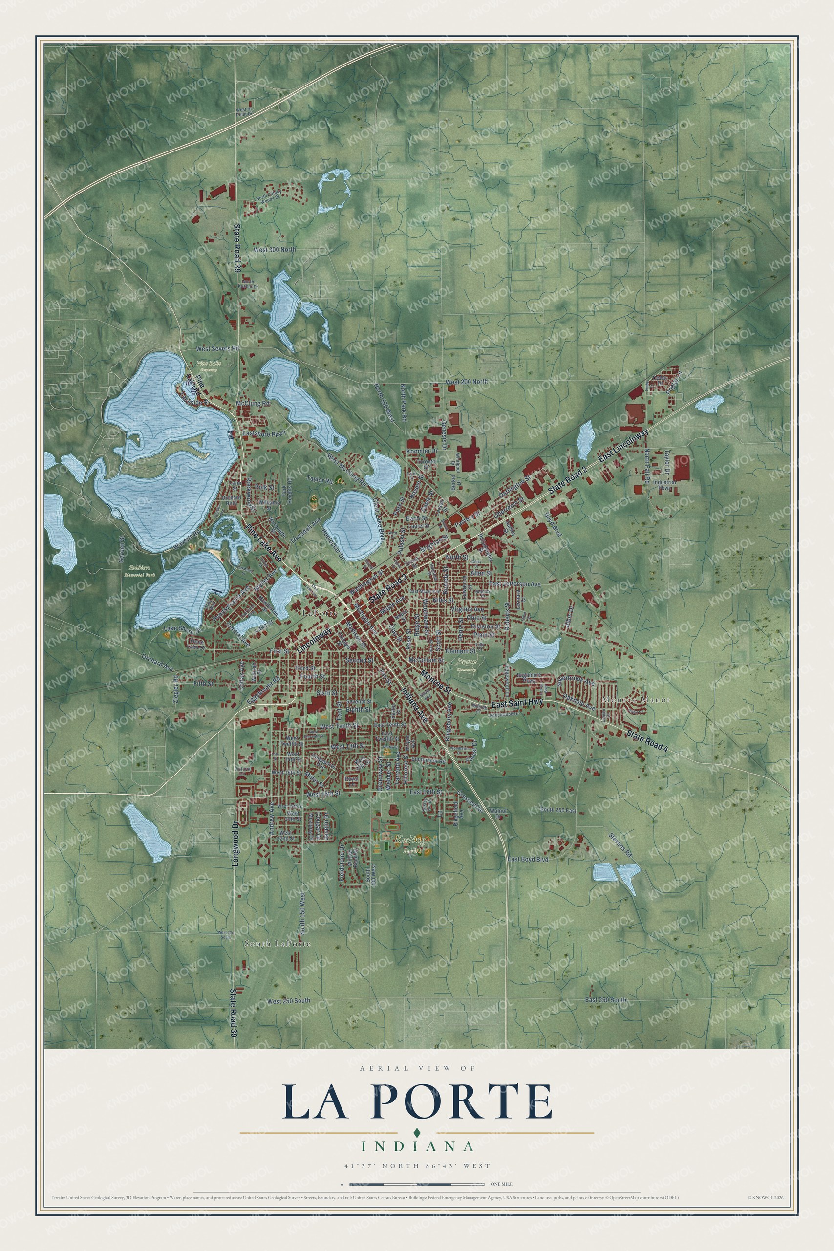
Explore La Porte, Indiana from a whole new perspective. Created using aerial imagery and detailed geographic data, this map captures La Porte building by building, with labeled streets, familiar landmarks, and shaded topographical relief that highlights the natural contours of the landscape.
Combining modern data with the timeless character of a vintage atlas, this map is just as interesting up close as it is beautiful on the wall. Whether you grew up in La Porte, spent memorable years there, or call it home today, this unique map is a great way to celebrate a place that means something to you. Zoom in on the preview to look for your street, and then order a print to put your memories on the wall.
Three ways to hang it
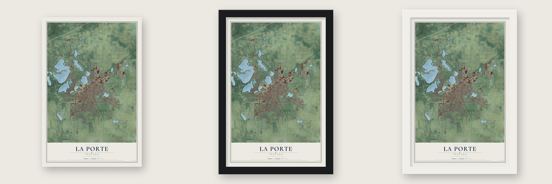
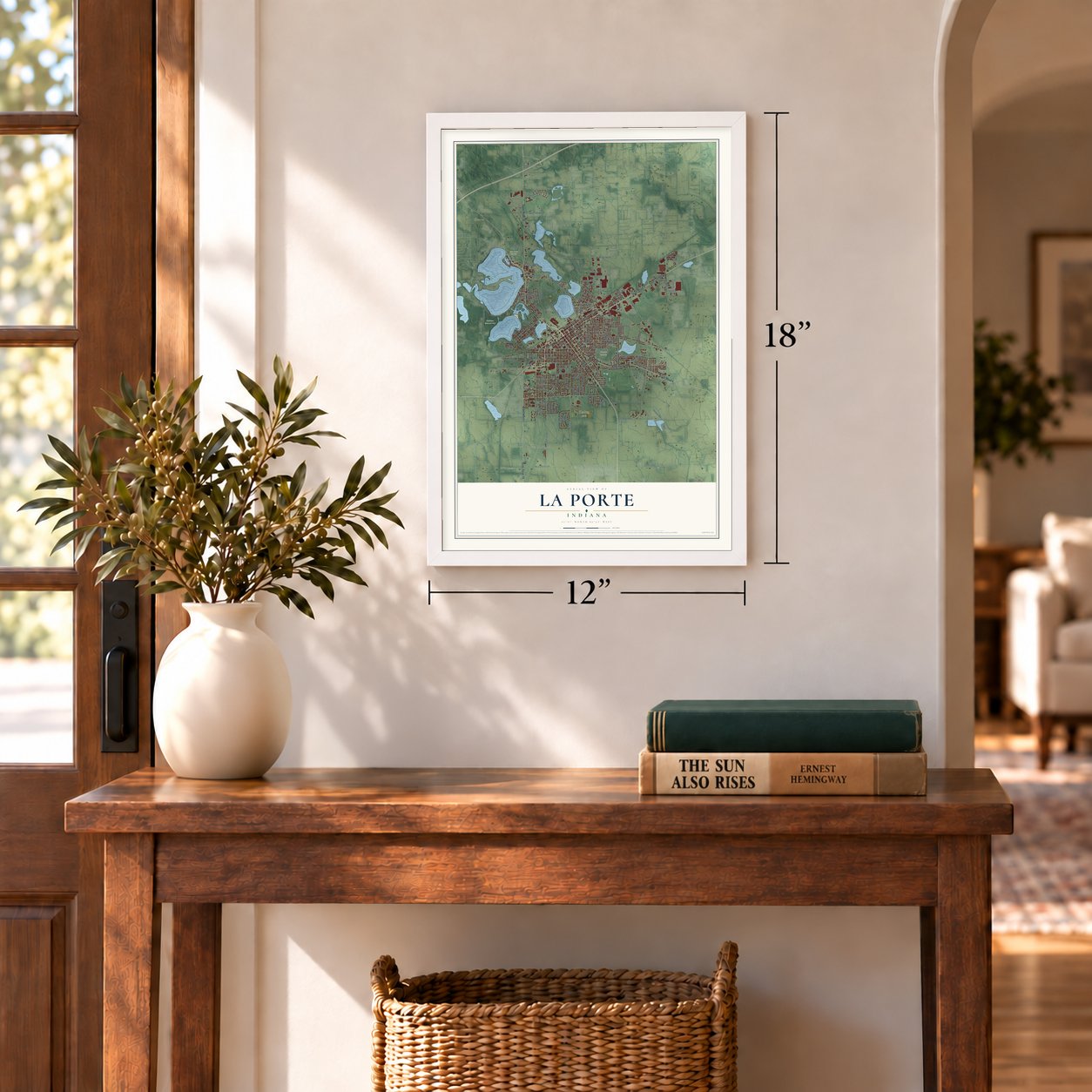
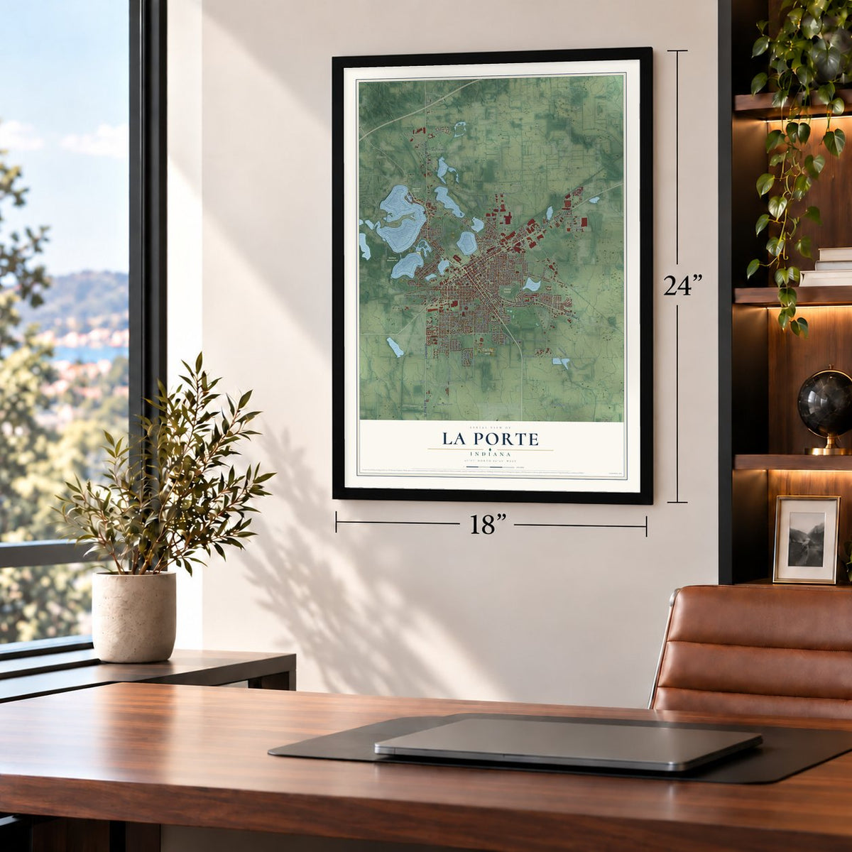
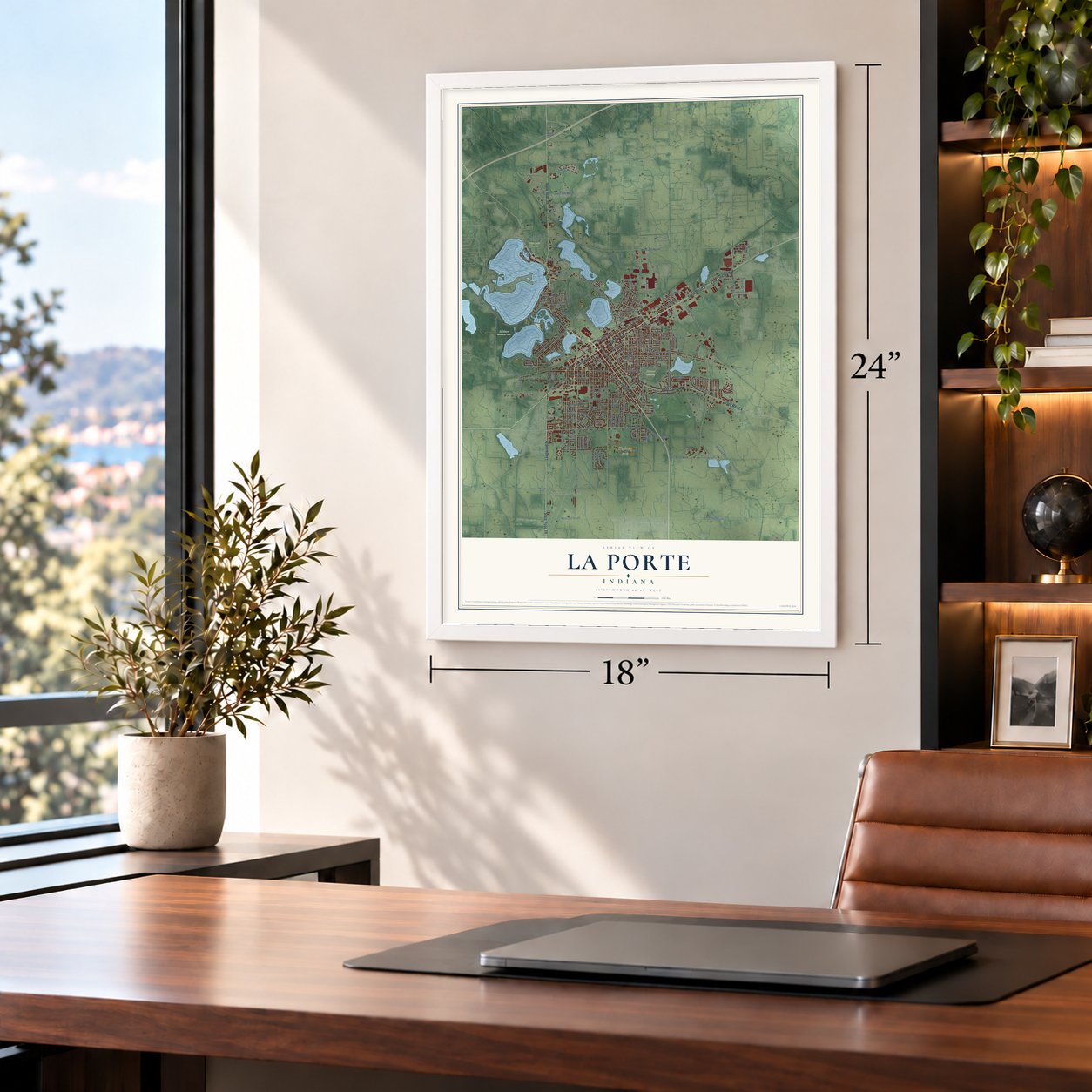
Unframed archival matte, a black wood frame or a white wood frame.
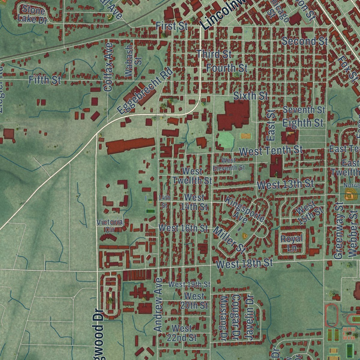
Up close
Geography Worth Displaying
This map was created using accurate cartographic data and authoritative geographic sources, including the U.S. Geological Survey and the Census Bureau. The map brings together terrain, waterways, roads, and building detail. The majority of the streets are labeled, houses are accurately depicted, and the topography is derived from government sources. Combining local data with carefully composed color and shading leads to this beautifully detailed La Porte artwork for your wall.
Rather than simply showing street outlines, we’ve included as many of the street names as we could reasonably fit on the map while keeping their names legible. Zoom in on the high resolution preview to see exactly what’s on the map. We truly set out to create a statement piece for anyone who loves La Porte. So whether it’s for you, or a gift for someone you love, we hope this map of La Porte brings back fond memories.
Read the story behind this map of La Porte, Indiana from 2026.
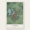
Find your street
Names on the La Porte map
Every name below is printed on this map. Look for your street, your school, the park where you played, or the pond down the road.
Places and landmarks7
- Monroe Manor
- Kesling Park
- Patton Cemetery
- Pine Lake Cemetery
- Soldiers Memorial Park
- LaPorte
- South LaPorte
Streets and roads187
- State Road 2
- Indiana Avenue
- Pine Lake Avenue
- East Lincolnway
- Lincolnway
- State Road 39
- State Road 4
- East Saint Highway
- Monroe Street
- Longwood Drive
- West 18th Street
- Madison Street
- East 18th Street
- Poplar Lane
- West Severs Road
- Orchard Avenue
- West 200 North
- North Street
- Truesdell Avenue
- Lakeside Street
- Silverbrook Avenue
- Cable Street
- Boyd Boulevard
- Ohio Street
- Lake Shore Drive
- Michigan Avenue
- Second Street
- Fifth Street
- Andrew Avenue
- First Street
Show all 187 streets
- East Jefferson Avenue
- South 150 West
- Waverly Road
- North Fail Road
- East 250 South
- Kingsbury Avenue
- Weller Avenue
- Park Street
- Scott Street
- Fox Street
- Rumely Street
- Roberts Street
- Washington Street
- West McClung Road
- Plain Street
- McClung Road
- Webber Street
- West Tenth Street
- Fieldstone Drive
- Division Street
- Rockwood Street
- Virginia Avenue
- Third Street
- Fourth Street
- Darlington Street
- Lake Street
- Woodward Street
- Maple Avenue
- Farrand Avenue
- Clear Lake Boulevard
- Garden Street
- Ridge Street
- Sixth Street
- Clay Street
- Greenway Street
- Niles Street
- Rose Street
- Stevens Road
- East Street
- Lane
- West 13th Street
- Genesis Drive
- Hillcrest Street
- Clement Street
- Allen Street
- Oakdale Avenue
- West 300 North
- Niesen Street
- Crescent Drive
- Pennsylvania Avenue
- Brighton Street
- Ziegler Road
- Central Avenue
- North 100 West
- Hoelocker Drive
- Pulaski Street
- Oberreich Street
- West 250 South
- Eastshore Parkway
- Colfax Avenue
- Factory Street
- Eggebrecht Road
- North Park Road
- Koomler Drive
- Bach Street
- East Boyd Boulevard
- Eighth Street
- Taylor Road
- Albin Drive
- McCollum Street
- Forest Drive
- Polk Street
- Henry Street
- Miller Street
- Taylor Drive
- Javelin Drive
- Cougar Drive
- Pine Lake Road
- Kingsporte Avenue
- West 14th Street
- West 16th Street
- Park Heights Road
- Larson Street
- Chicago Street
- Sagamore Parkway
- Philadelphia Street
- Willow Bend Drive
- West Twelfth Street
- Lawrence Street
- Grove Street
- Marquette Street
- Stone Lake Drive
- Wright Avenue
- Williams Street
- Edgewood Lane
- Southmoor Road
- South 250 East
- Industrial Parkway
- Ridgefield Avenue
- Hawthorne Street
- East Twelfth Street
- East Tenth Street
- Seventh Street
- Berkel Drive
- West 22nd Street
- Noble Street
- West 20th Street
- West 15th Street
- Mustang Drive
- Laurel Street
- South 100 West
- Leonard Court
- Cedar Drive
- Wabash Street
- Orchard Bluff
- Walnut Drive
- Toronto Street
- Audley Street
- Eason Court
- Royal Lane
- Lane Street
- North Tiffany Woods Drive
- John Street
- East Maple Avenue
- Keston Elm Drive
- Erie Street
- Beechwood Drive
- South Avenue
- Linden Drive
- West Hi Point Drive
- North Kuchar Drive
- West 19th Street
- Fairfield Avenue
- Abby Lane
- Whirlpool Drive
- Victoria Circle
- Holcomb Street
- Stanley Court
- Alley Way
- Hillside Court
- Lilly Court
- Timber Lane
- Detroit Street
- West Eleventh Street
- Talley Street
- Boston Street
- Woodlawn Drive
- Closser Avenue
- Feikes Boulevard
- Tipton Street
- Oakwood Street
- Porter Street
- West Street
- Norris Street
- West 200 South
- Floyd Street
- 14th Street
Names are listed as they appear on the printed map. Zoom into the product photos to find them.
About La Porte, Indiana
La Porte is a city of 22,471 people and the seat of LaPorte County, in northwest Indiana between Gary and South Bend. Its name is French for "the door." The settlement began in July 1832, when Abraham P. Andrew, one of the men who bought the site, built its first sawmill. That October the first settler put up a log cabin just north of the future courthouse square.
Treaties pushed the Potawatomi and other tribes off the land and sent them to Indian Territory. The federal government then opened a land office in La Porte in 1833. Buyers came from the new counties around it, among them Solon Robinson, who founded Crown Point, until the office moved to Winamac in 1839. La Porte became a town in 1835 and got a newspaper in 1836. By 1852 it had 5,000 residents, and the Indiana General Assembly made it a city.
- The Maple CityIn the 1850s a resident named Sebastian Lay planted maple trees along Indiana and Michigan Avenues, and La Porte took the nickname Maple City. The two avenues now make up a historic district of notable old homes and buildings.
- A courthouse of red sandstoneThe third LaPorte County courthouse, the one still in use, went up between 1892 and 1894 for $300,000. Its red sandstone came from Lake Superior by boat to Michigan City, then by rail to La Porte. In 2007 its outside was restored for $2.9 million.
- Home of the Oil-PullAdvance-Rumely grew into the city's biggest industry, building steam engines and green kerosene tractors. Its Oil-Pull tractor engine is credited with a large part in opening the Great Plains to farming. By 1869 the company employed more people than any other business in La Porte.
- A medical school in 1842La Porte Medical School opened in 1842, the first school of its kind in the Midwest.
Keep exploring Indiana
La Porte is one of 1,023 Indiana towns we've mapped. Every dot on the map is a print of its own.
The search covers every state, Indiana first.
Near La Porte
Order 2 or more town maps and save 10%. Shown in the size and finish you picked above, so they hang as a set.
- Kingsbury 12" x 18" / Archival Matte Print $39.99
- Rolling Prairie 12" x 18" / Archival Matte Print $39.99
- Stillwell 12" x 18" / Archival Matte Print $39.99


More maps nearby: Springfield, Wellsboro, Union Mills, Kingsford Heights and Trail Creek.
The art of mapping a place
How This Map Was Made
Real places. Remarkable detail. Discover the layers that turn geographic data into a map of home.

The view from above
Aerial imagery reveals the character of the land: woodland, open fields, and the patterns of a place.

The shape of the land
Elevation data brings hills, valleys, and subtle changes in the landscape into view.

The details of home
Roads, waterways, and building footprints come together to make the map feel unmistakably local.

Geography becomes art
Considered color, shading, and typography bring the layers together in a map made for your wall.


Process illustrated with Mendon, Massachusetts. Aerial imagery: USDA NAIP. Terrain: USGS 3D Elevation Program. Map details and finished artwork: KNOWOL.
The Details
About This Print
Choose an archival matte print, or a black or white Ayous wood frame. The archival matte print is unframed.
Select your size and finish above to see the matching product image and price.
Materials & Craftsmanship
A contemporary map with the character of a classic atlas, printed on archival matte paper. Optional frames are made from Ayous wood.
Your printed map does not include the watermark shown in the full-map preview.
Shipping & Delivery
Free shipping within the United States. Every print is made to order in the USA.
Buying a gift? Add a note in your cart and we'll include it. We never put prices in the package.
Prints ship within 2 to 3 business days. Allow 7 to 10 days total from ordering for delivery. Timing may vary during holidays or periods of high order volume.
Read our shipping policy.
Returns and damaged prints
Each print is made to order. Change-of-mind refunds are not available after production.
If your print arrives damaged, misprinted or incorrect, contact support@knowol.com within 30 days of receiving it. Include your order number, photos and a description of the issue.
Read our full refund and replacement policy. For questions about your order, email support@knowol.com.