
Search for another town
Free U.S. delivery 7 to 10 days after you order
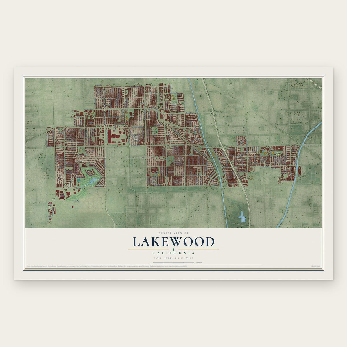
Lakewood, California Map Art
Building by building, with labeled streets and shaded relief.
12" x 18" Archival Matte Print
A Map of Home. A Work of Art.
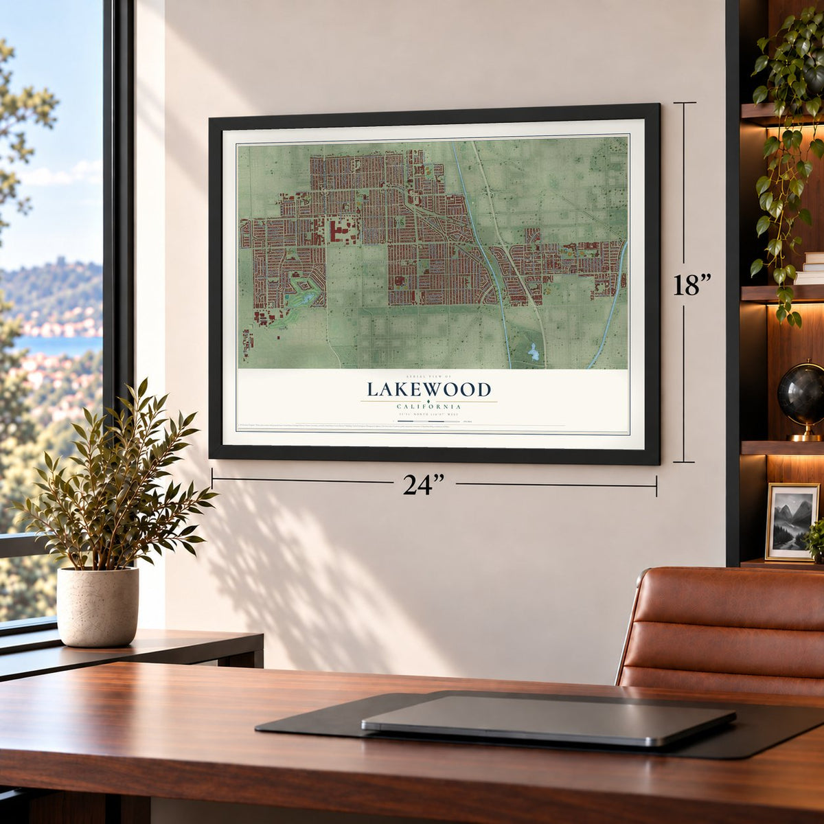
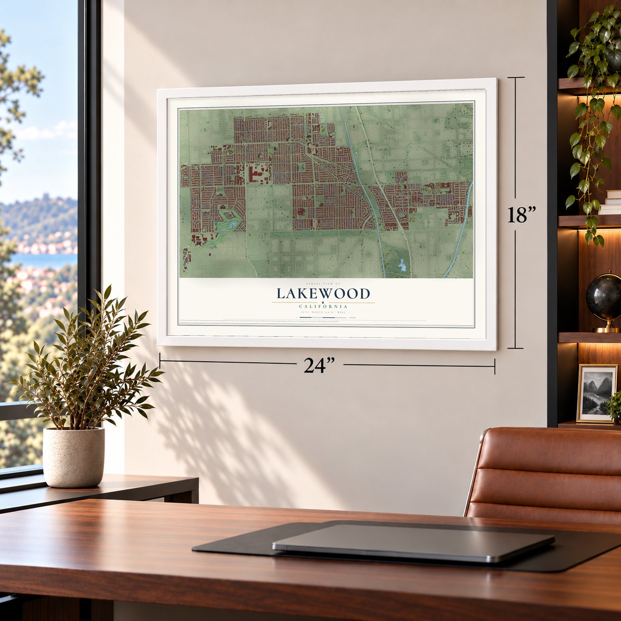
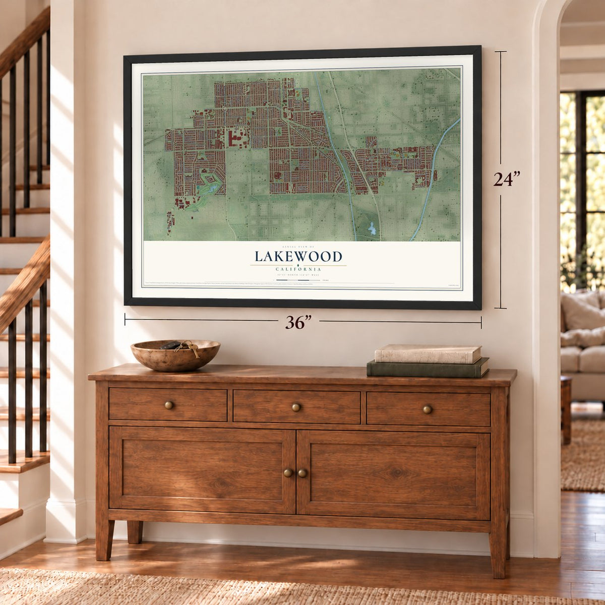
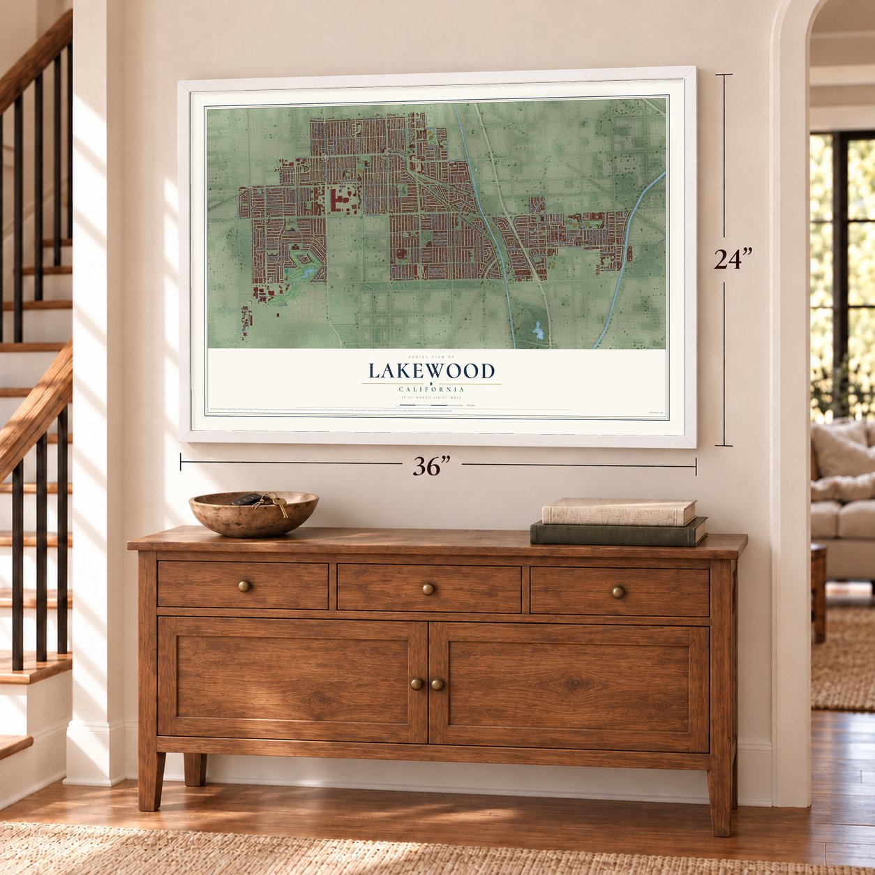
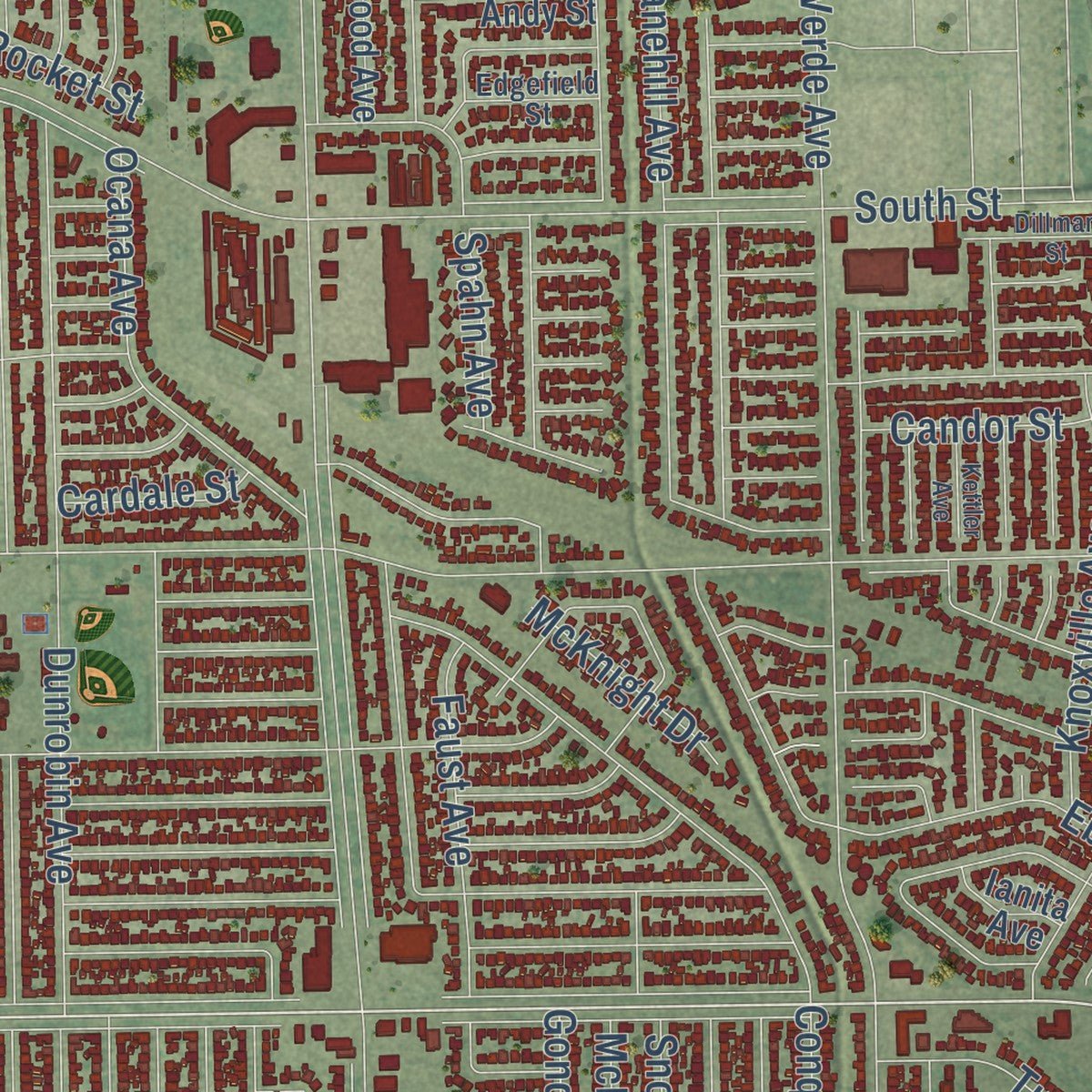
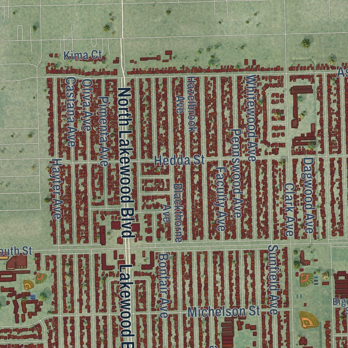
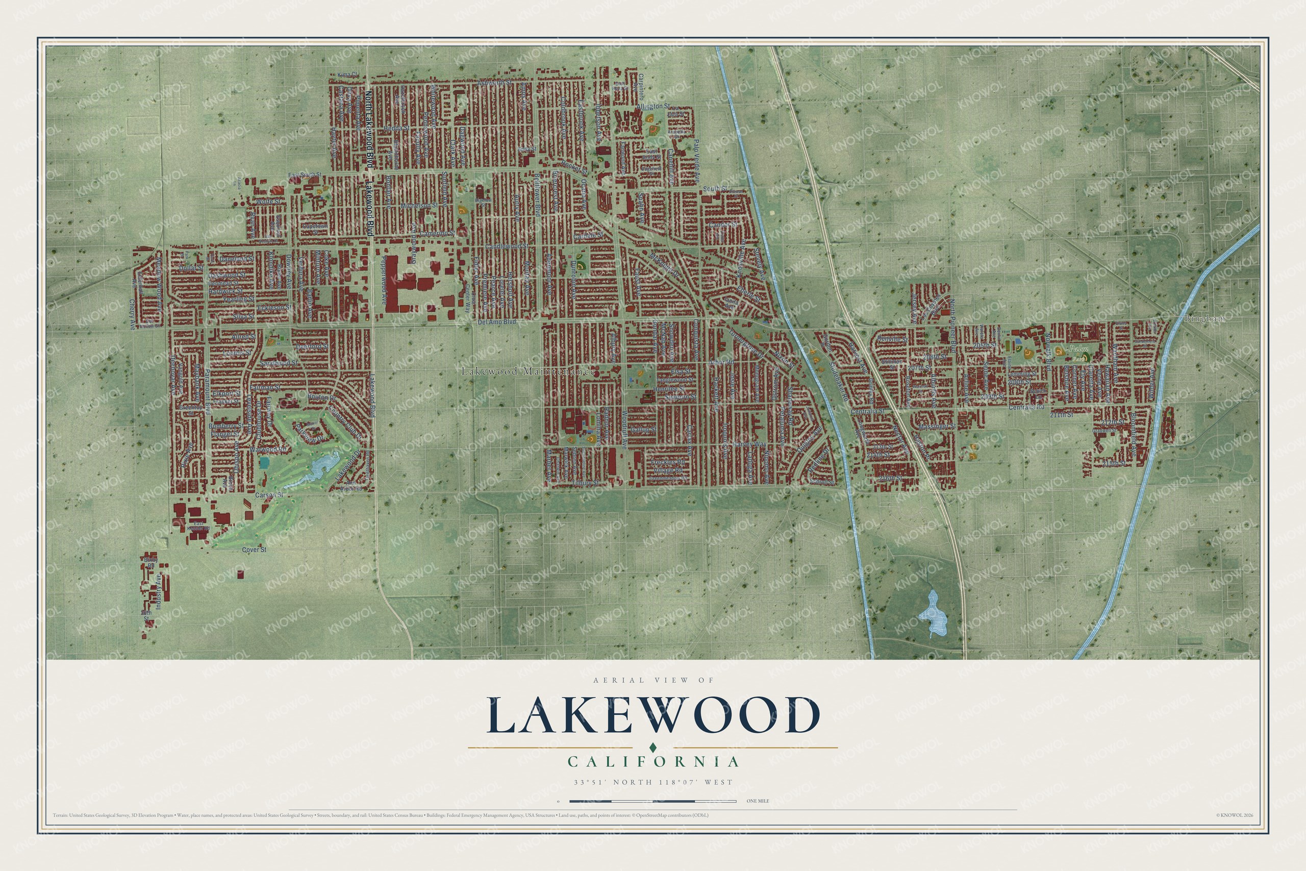
Explore Lakewood, California from a whole new perspective. Created using aerial imagery and detailed geographic data, this map captures Lakewood building by building, with labeled streets, familiar landmarks, and shaded topographical relief that highlights the natural contours of the landscape.
Combining modern data with the timeless character of a vintage atlas, this map is just as interesting up close as it is beautiful on the wall. Whether you grew up in Lakewood, spent memorable years there, or call it home today, this unique map is a great way to celebrate a place that means something to you. Zoom in on the preview to look for your street, and then order a print to put your memories on the wall.
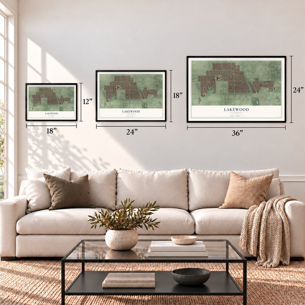
Three ways to hang it
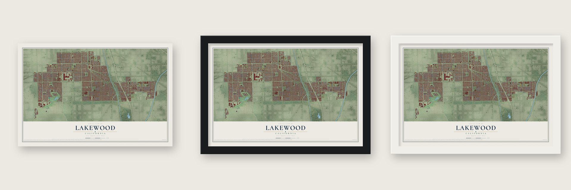
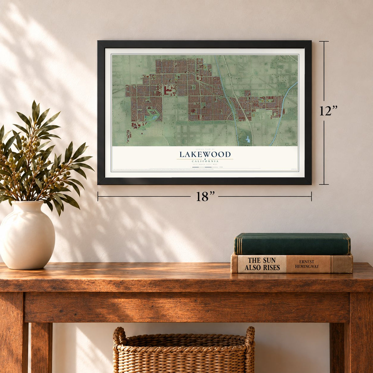
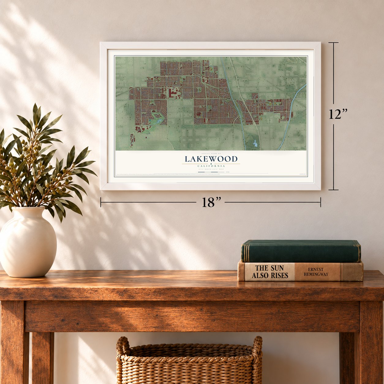
Unframed archival matte, a black wood frame or a white wood frame.
Up close
Geography Worth Displaying
This map was created using accurate cartographic data and authoritative geographic sources, including the U.S. Geological Survey and the Census Bureau. The map brings together terrain, waterways, roads, and building detail. The majority of the streets are labeled, houses are accurately depicted, and the topography is derived from government sources. Combining local data with carefully composed color and shading leads to this beautifully detailed Lakewood artwork for your wall.
Rather than simply showing street outlines, we’ve included as many of the street names as we could reasonably fit on the map while keeping their names legible. Zoom in on the high resolution preview to see exactly what’s on the map. We truly set out to create a statement piece for anyone who loves Lakewood. So whether it’s for you, or a gift for someone you love, we hope this map of Lakewood brings back fond memories.
Read the story behind this map of Lakewood, California from 2026.
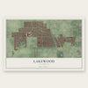
Find your street
Names on the Lakewood map
Every name below is printed on this map. Look for your street, your school, the park where you played, or the pond down the road.
Places and landmarks3
- Lakewood Maintenance
- Bingham
- Palm Park
Streets and roads218
- North Lakewood Boulevard
- Lakewood Boulevard
- Del Amo Boulevard
- Carson Street
- Arbor Road
- Ryan Avenue
- Centralia Street
- Maybank Avenue
- Nixon Street
- 206th Street
- Sunfield Avenue
- Woodruff Avenue
- South Street
- Candlewood Street
- Bellflower Boulevard
- Paramount Boulevard
- Hardwick Street
- Downey Avenue
- Michelson Street
- Palo Verde Avenue
- Briercrest Avenue
- Adenmoor Avenue
- Harvey Way
- Hayter Avenue
- Dunrobin Avenue
- Ashworth Street
- Coldbrook Avenue
- Obispo Avenue
- Clark Avenue
- Fairman Street
Show all 218 streets
- Carfax Avenue
- Silva Street
- Knoxville Avenue
- Autry Avenue
- Fidler Avenue
- Deeboyar Avenue
- Hersholt Avenue
- Lorelei Avenue
- Pearce Avenue
- Hedda Street
- Yearling Street
- Oliva Avenue
- Castana Avenue
- North Pioneer Boulevard
- Canehill Avenue
- Stevely Avenue
- Levelside Avenue
- Ocana Avenue
- 207th Street
- Whitewood Avenue
- Premiere Avenue
- Eckleson Street
- Graywood Avenue
- Turnergrove Drive
- Camerino Street
- Hackett Avenue
- Dashwood Street
- Pepperwood Avenue
- Iroquois Avenue
- Pimenta Avenue
- Josie Avenue
- Faust Avenue
- Deerford Street
- Faculty Avenue
- Allington Street
- Conquista Avenue
- Gondar Avenue
- Eastbrook Avenue
- Eberle Street
- Loomis Street
- Pixie Avenue
- 215th Street
- Bloomfield Avenue
- Sandwood Street
- Lomina Avenue
- Clubhouse Drive
- Montair Avenue
- 209th Street
- Warwood Road
- Nipomo Avenue
- Ladoga Avenue
- Ostrom Avenue
- Cover Street
- Coke Avenue
- Country Club Drive
- Bonfair Avenue
- 205th Street
- Pennswood Avenue
- Daneland Street
- Verdura Avenue
- Norwalk Boulevard
- Snowden Avenue
- Wilder Avenue
- Petaluma Avenue
- Claretta Avenue
- Nectar Avenue
- Candor Street
- Allred Street
- Renville Street
- Radnor Avenue
- Alburtis Avenue
- Albury Avenue
- Shadeway Road
- Hawaiian Avenue
- Studebaker Road
- McNab Avenue
- Bouton Drive
- Wolfe Street
- 211th Street
- Henrilee Street
- 212th Street
- Cherry Avenue
- 208th Street
- Arline Avenue
- Dollar Street
- Wardham Avenue
- Seaborn Street
- 214th Street
- Ibbetson Avenue
- Harvest Avenue
- Bomberry Street
- Barlin Avenue
- Cardale Street
- Seine Avenue
- Parkview Drive
- Village Road
- Freckles Road
- 216th Street
- Meadow Wood Avenue
- Quigley Avenue
- Spahn Avenue
- Jersey Avenue
- Amos Avenue
- Tilbury Street
- Industry Avenue
- Elsa Street
- Centralia Road
- Elkport Street
- Verne Avenue
- Belshire Avenue
- Fairway Drive
- Lakewood Drive
- Massinger Street
- Minturn Avenue
- Rocket Street
- Ely Avenue
- Dagwood Avenue
- McKnight Drive
- Klondike Avenue
- Cortner Avenue
- Redline Drive
- Flangel Street
- Marber Avenue
- Haston Place
- Gallup Street
- Hazelbrook Avenue
- Denmead Street
- Blackthorne Avenue
- Longworth Avenue
- Fanwood Avenue
- Lemming Street
- Roseton Avenue
- Greentop Street
- Capetown Street
- Vangold Avenue
- Monogram Avenue
- Los Coyotes Boulevard
- Stillman Street
- Tanglewood Street
- Civic Center Way
- Andy Street
- Frankel Street
- Gridley Road
- Elderhall Avenue
- 213th Street
- Carpintero Avenue
- Bixler Avenue
- Ann Arbor Road
- East South Street
- Marwick Avenue
- Sebren Avenue
- La Jara Street
- East Andy Street
- Esquivel Avenue
- Schroll Street
- Gordon Place
- Kima Court
- Ianita Avenue
- Schick Lane
- Brock Avenue
- Bixby Road
- 36th Street
- Greenmeadow Road
- Bigelow Street
- Gradwell Street
- Arabella Street
- Edgefield Street
- Elaine Avenue
- Violeta Avenue
- Fleethaven Road
- Devlin Avenue
- Chatwin Avenue
- East Kessler Road
- Del Hollow Street
- East Reva Street
- Van Nostran Drive
- Walcroft Street
- Elvins Street
- Johanna Avenue
- San Anseline Avenue
- Vandemere Street
- Dillman Street
- Manor Drive
- Kettler Avenue
- Winkler Avenue
- Acacia Lane
- Park Drive
- Faris Street
Names are listed as they appear on the printed map. Zoom into the product photos to find them.
About Lakewood, California
Lakewood is a city of 82,496 people in Los Angeles County. In 1930 developer Clark Joaquin Bonner planned the Lakewood Country Club, and the city later took its name from that club. Bonner ran the Montana Land Company, which had come to him from William and Ross Clark. After World War II, developers Louis Boyar, Mark Taper and Ben Weingart turned open fields here into a planned community. They began in late 1949 and finished their plan in 1953.
Sales opened on March 24, 1950, and about 30,000 people waited in line to tour seven model houses. Veterans could buy with no money down and a 30-year loan at 4 percent, so a home cost $44 to $56 a month. Before April ended, the sales office had drawn over 200,000 visitors, and more than 1,000 families had bought houses.
- 17,500 houses in three yearsCrews finished 40 to 60 houses on a typical day, and once they completed a record 110 in a single day. Buyers moved just as fast, and on one occasion 107 homes sold within an hour. In less than three years, 17,500 houses stood where the empty fields had been.
- The first contract city, 1954By 1953 more than 70,000 people lived in Lakewood and needed city services. They could join Long Beach, stay under the county, or form a city that hired the county to do the work. In 1954 voters in the north and east chose the third path. No community that large in the country had ever incorporated, and no Los Angeles County town had become a city since 1939. Cerritos, Bellflower, Walnut and Diamond Bar later adopted this Lakewood Plan.
- Sky Knight since 1966The city started its own helicopter patrol, Sky Knight, in 1966. It was the first program in the nation to patrol from the air both day and night. Each flight carries a civilian pilot, with a sheriff's deputy aboard as the observer.
- Lakewood Center, 1951The Lakewood Center shopping mall opened in 1951, while the new houses were still going up around it.
- A library for the first mayorThe Iacoboni Library opened in 1954 and later took the name of Angelo M. Iacoboni, the city's first mayor. It moved in 1959 and again in 1973. The George Nye, Jr. Library, named for another mayor, opened on February 22, 1973.
Keep exploring California
Lakewood is one of 1,990 California towns we've mapped. Every dot on the map is a print of its own.
The search covers every state, California first.
Near Lakewood
Order 2 or more town maps and save 10%. Shown in the size and finish you picked above, so they hang as a set.
- Artesia 12" x 18" / Archival Matte Print $39.99
- Bellflower 12" x 18" / Archival Matte Print $39.99
- Hawaiian Gardens 12" x 18" / Archival Matte Print $39.99
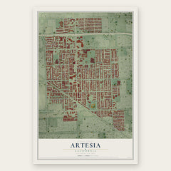
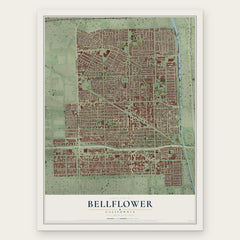
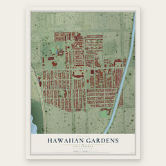
More maps nearby: Cerritos, North Long Beach, Bixby Knolls, California Heights and Signal Hill.
The art of mapping a place
How This Map Was Made
Real places. Remarkable detail. Discover the layers that turn geographic data into a map of home.

The view from above
Aerial imagery reveals the character of the land: woodland, open fields, and the patterns of a place.

The shape of the land
Elevation data brings hills, valleys, and subtle changes in the landscape into view.

The details of home
Roads, waterways, and building footprints come together to make the map feel unmistakably local.

Geography becomes art
Considered color, shading, and typography bring the layers together in a map made for your wall.


Process illustrated with Mendon, Massachusetts. Aerial imagery: USDA NAIP. Terrain: USGS 3D Elevation Program. Map details and finished artwork: KNOWOL.
The Details
About This Print
Choose an archival matte print, or a black or white Ayous wood frame. The archival matte print is unframed.
Select your size and finish above to see the matching product image and price.
Materials & Craftsmanship
A contemporary map with the character of a classic atlas, printed on archival matte paper. Optional frames are made from Ayous wood.
Your printed map does not include the watermark shown in the full-map preview.
Shipping & Delivery
Free shipping within the United States. Every print is made to order in the USA.
Buying a gift? Add a note in your cart and we'll include it. We never put prices in the package.
Prints ship within 2 to 3 business days. Allow 7 to 10 days total from ordering for delivery. Timing may vary during holidays or periods of high order volume.
Read our shipping policy.
Returns and damaged prints
Each print is made to order. Change-of-mind refunds are not available after production.
If your print arrives damaged, misprinted or incorrect, contact support@knowol.com within 30 days of receiving it. Include your order number, photos and a description of the issue.
Read our full refund and replacement policy. For questions about your order, email support@knowol.com.