
Search for another town


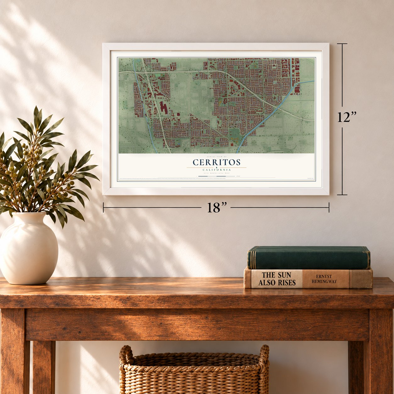

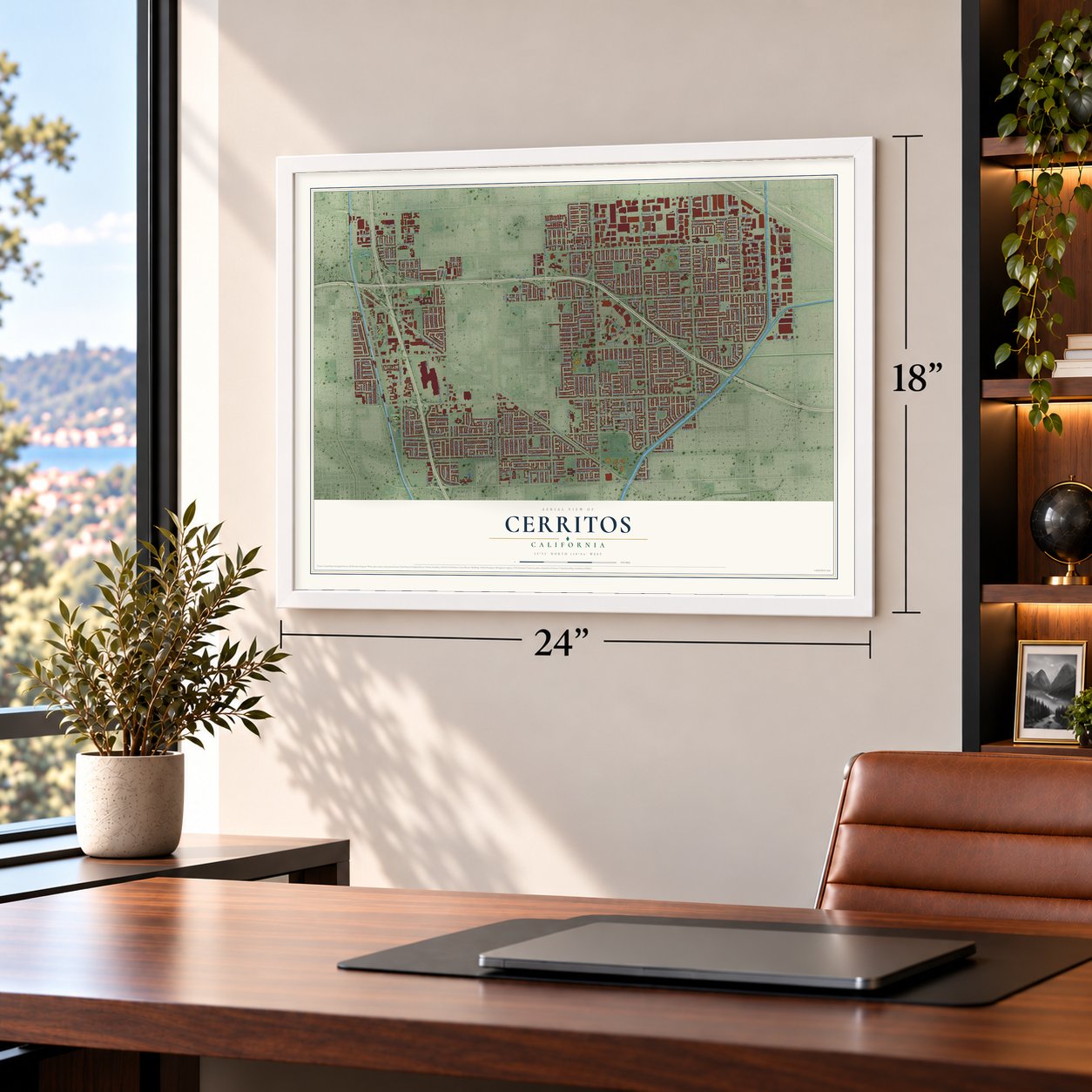

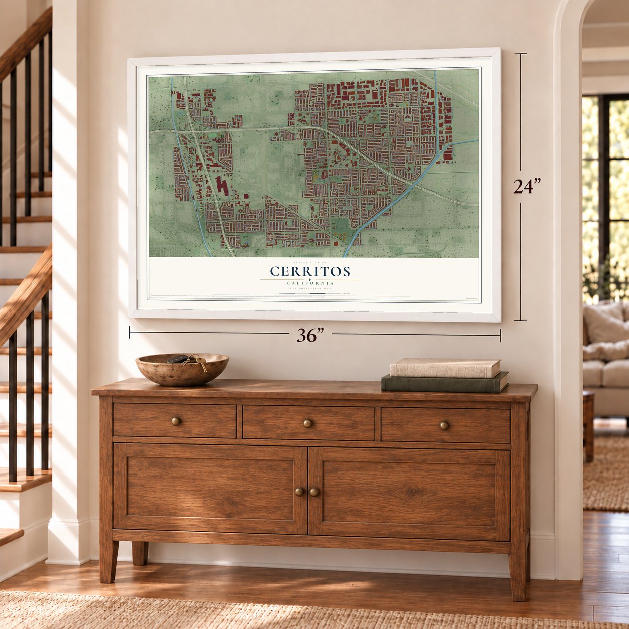

Free U.S. delivery 7 to 10 days after you order
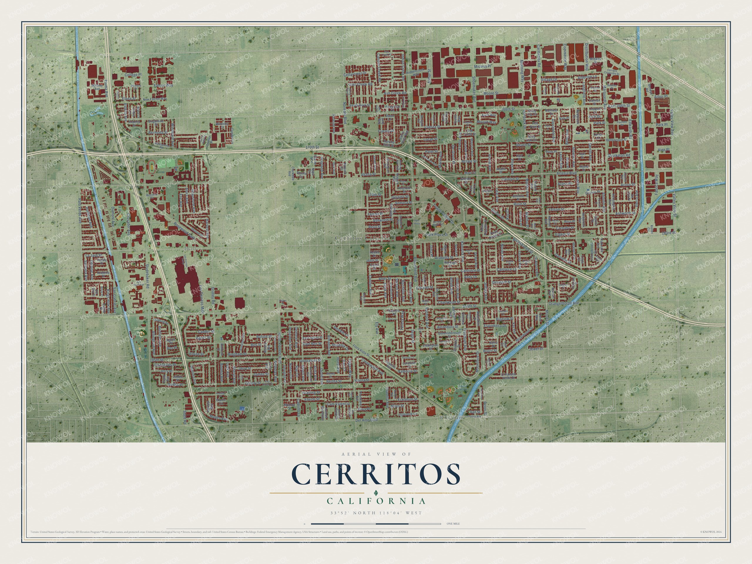
Cerritos, California Map Art
Building by building, with labeled streets and shaded relief.
12" x 18" Archival Matte Print
A Map of Home. A Work of Art.
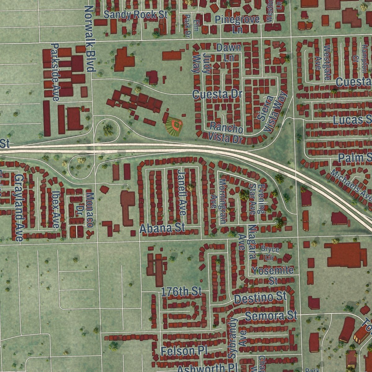
Explore Cerritos, California from a whole new perspective. Created using aerial imagery and detailed geographic data, this map captures Cerritos building by building, with labeled streets, familiar landmarks, and shaded topographical relief that highlights the natural contours of the landscape.
Combining modern data with the timeless character of a vintage atlas, this map is just as interesting up close as it is beautiful on the wall. Whether you grew up in Cerritos, spent memorable years there, or call it home today, this unique map is a great way to celebrate a place that means something to you. Zoom in on the preview to look for your street, and then order a print to put your memories on the wall.
Three ways to hang it
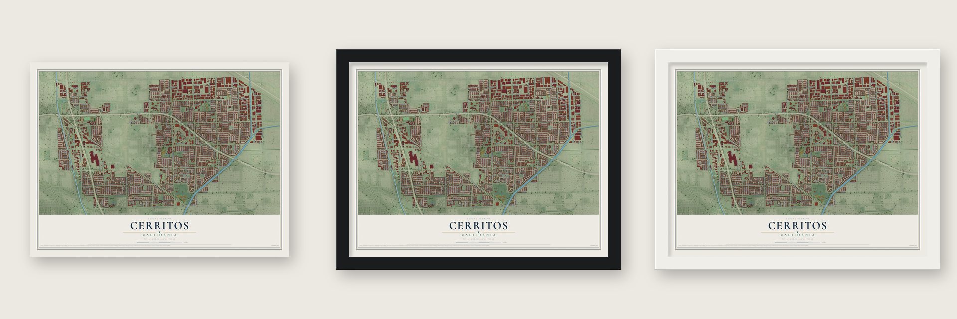
Unframed archival matte, a black wood frame or a white wood frame.
Up close
Geography Worth Displaying
This map was created using accurate cartographic data and authoritative geographic sources, including the U.S. Geological Survey and the Census Bureau. The map brings together terrain, waterways, roads, and building detail. The majority of the streets are labeled, houses are accurately depicted, and the topography is derived from government sources. Combining local data with carefully composed color and shading leads to this beautifully detailed Cerritos artwork for your wall.
Rather than simply showing street outlines, we’ve included as many of the street names as we could reasonably fit on the map while keeping their names legible. Zoom in on the high resolution preview to see exactly what’s on the map. We truly set out to create a statement piece for anyone who loves Cerritos. So whether it’s for you, or a gift for someone you love, we hope this map of Cerritos brings back fond memories.
Read the story behind this map of Cerritos, California from 2026.
Find your street
Names on the Cerritos map
Every name below is printed on this map. Look for your street, your school, the park where you played, or the pond down the road.
Places and landmarks5
- Cerritos City Hall
- Dolley
- Liberty Park
- Bingham
- Rosewood Park
Streets and roads376
- Artesia Boulevard
- 183rd Street
- 195th Street
- South Street
- Carmenita Road
- Del Amo Boulevard
- Valley View Street
- Moody Street
- Gonsalves Street
- Marquardt Avenue
- Beach Street
- Moorshire Drive
- Cortner Avenue
- Elgers Street
- Antonio Avenue
- Towne Center Drive
- Trentham Avenue
- Bertha Street
- Orangethorpe Avenue
- Semora Street
- Cedarcrest Drive
- 166th Street
- East 166th Street
- Studebaker Road
- Bloomfield Avenue
- Shoemaker Avenue
- Gridley Road
- Norwalk Boulevard
- Rose Street
- Andy Street
Show all 376 streets
- Droxford Street
- Valley View Avenue
- Vickie Avenue
- North Pioneer Boulevard
- Palo Verde Avenue
- Moore Street
- Stowers Avenue
- Aclare Street
- Mapes Avenue
- Park Street
- Harvest Avenue
- Palm Street
- San Gabriel Avenue
- Carnaby Street
- Felson Street
- Pires Avenue
- Park Plaza Drive
- Jeffrey Avenue
- Bingham Street
- Stefani Avenue
- Bos Street
- Gerritt Avenue
- Stark Avenue
- Yearling Street
- Bigelow Street
- Alfred Avenue
- Jacob Avenue
- Dumont Avenue
- Candor Street
- Acoro Street
- Leslie Avenue
- Los Cerritos Mall
- Edwards Road
- Alexander Avenue
- Ely Avenue
- Piuma Avenue
- Charlwood Street
- Sutton Street
- Cuesta Drive
- Darvalle Street
- La Jara Street
- Ashworth Place
- Bechard Avenue
- Arabella Street
- Briarwood Street
- Albert Avenue
- Leal Avenue
- Vierra Avenue
- Abana Street
- Carolyn Street
- Maria Avenue
- Destino Street
- Martha Avenue
- Cuesta Street
- Eric Avenue
- Manning Way
- Ashworth Street
- Caravel Street
- Jewel Drive
- Reva Street
- Midway Place
- Eberle Street
- Crusader Avenue
- Horst Avenue
- Jerry Place
- Kamstra Avenue
- Brookhaven Street
- Lucas Street
- Acoro Place
- Estella Avenue
- Sheryl Avenue
- Yvette Avenue
- Indian Creek Road
- Claretta Avenue
- Viarna Street
- Cantrece Lane
- Lusk Avenue
- Hoffman Avenue
- Cantrece Street
- Arthur Street
- Creekwood Avenue
- Allingham Avenue
- Jerry Street
- Canyon Creek Road
- Gonsalves Place
- Kings Row Avenue
- Teresa Way
- Falcon Way
- Eckleson Street
- Felson Place
- Village Drive
- Grayland Avenue
- Alora Avenue
- Poseidon Avenue
- Benfield Avenue
- Ironback Drive
- Commerce Way
- Distribution Way
- Deloise Avenue
- Langfield Avenue
- James Street
- Alconbury Street
- Windward Avenue
- Graystone Avenue
- Cam Valencia
- Fabrica Way
- Ray Circle
- Nancy Circle
- Buford Street
- Eloise Street
- De Groot Place
- Demeter Avenue
- College Place
- Denni Street
- Santana Avenue
- Noran Avenue
- Ash Creek Road
- Dina Place
- Espinheira Drive
- Godinho Avenue
- Agnes Street
- Glen Creek Road
- Alderton Lane
- Struikman Road
- Danielle Avenue
- Rochelle Avenue
- Bermuda Street
- Bertha Place
- Cabrillo Lane
- State Road
- Segal Street
- Almadin Avenue
- Nicholas Avenue
- Fagan Way
- Smokie Lane
- Phoenix Drive
- Bouma Avenue
- Alida Avenue
- Christy Street
- Mozart Way
- Park Place
- Valencia Street
- Arbor Place
- Betty Avenue
- East Bos Street
- Elena Street
- Linda Way
- 176th Street
- Silva Place
- Martha Place
- Vine Place
- Miles Street
- Ibex Court
- 170th Street
- Brazil Street
- Andy Drive
- Kyle Drive
- Kay Court
- Vail Street
- Bos Place
- 185th Street
- Kensington Avenue
- Essex Street
- Wiersma Avenue
- Sierra Vista Way
- Sandy Rock Street
- Moorshire Place
- Wimbley Court
- Destino Place
- Semora Place
- Parkvalle Avenue
- Palm Place
- Jeanette Avenue
- Sybrandy Avenue
- Thornlake Avenue
- Cecelia Place
- Sequoia Avenue
- Kay Avenue
- Holmes Avenue
- Sharon Street
- Maurice Avenue
- Hart Place
- Christina Avenue
- Pinegrove Lane
- De Voss Avenue
- Hiddencreek Way
- Queensborough Street
- Roseton Avenue
- Newbrook Circle
- Clydepark Avenue
- Judy Way
- Bettencourt Street
- New Falcon Way
- El Rancho Verde Drive
- Georgina Circle
- Cecelia Way
- Reva Place
- Lucas Lane
- Heather Avenue
- Abana Place
- Flora Vista Street
- James Place
- Arabella Place
- Corby Avenue
- Alphington Avenue
- East Agnes Street
- Hedda Drive
- Betty Place
- Hibbing Street
- Clarkdale Avenue
- Ibex Avenue
- Janell Avenue
- Parkside Avenue
- Laurelbrook Circle
- De Bie Avenue
- Heritage Place
- Inglenook Lane
- Newbrook Avenue
- Brigantine Street
- Point Reyes Place
- Liddington Street
- Midway Street
- Avenue Barcelona
- Niagara Avenue
- Elaine Avenue
- Camden Lane
- Point Arguello Place
- Yosemite Street
- Bach Way
- Damian Street
- Hedda Place
- Shasta Circle
- Red Plum Street
- Gridley Place
- Harvest Way
- Midway Avenue
- Patricia Drive
- Chelsea Avenue
- Roberta Street
- Glenda Street
- Banfield Drive
- Maria Place
- Susan Place
- Del Rio Place
- Corellian Court
- Lori Ann Lane
- Oak Crest Street
- Amhurst Court
- Shelford Drive
- Frank Avenue
- Berwyn Road
- Dawn Lane
- Rancho Vista Drive
- Holly Oak Circle
- Myra Lane
- Debra Lane
- Yvette Way
- Sonora Avenue
- Gerritt Place
- Owen Way
- Maui Court
- Joaquin Lane
- Rusty Fig Circle
- Monaco Drive
- Castle Place
- Monroe Street
- Bahia Drive
- Watson Avenue
- Linda Circle
- Abana Drive
- Hart Drive
- Kyle Place
- Revere Avenue
- Eberle Circle
- De Oro Place
- Keller Circle
- Napa Circle
- Agnes Place
- Leal Circle
- La Palma Avenue
- Morningrain Avenue
- Edgefield Street
- Wendy Street
- Caravel Place
- Michaels Avenue
- Business Circle
- Normandale Avenue
- Windjammer Road
- Essex Place
- Center Court Drive
- Avenue Pamplona
- Cerritos Corporate Drive
- Belshire Avenue
- Monte Cristo Avenue
- Westgate Avenue
- Reva Circle
- Pso Granada
- Kenobi Court
- Evening Star Avenue
- Caliente Avenue
- Betty Way
- Chaparral Way
- Bentley Place
- Rhine Place
- Mellissa Street
- Essex Drive
- Jeffrey Circle
- Cuesta Lane
- Bannon Drive
- Destino Lane
- Visroy Avenue
- Dussen Lane
- Misty Place
- Los Cerritos Center
- Bechard Place
- Sun Valley Way
- Auto Square Drive
- Parkvalle Place
- Alchester Street
- Hedda Street
- Chamblee Avenue
- 193rd Street
- East Christy Street
- Equitable Road
- Pine Creek Road
- Hampton Court
- Park Plaza
- Castleford Lane
- Westbrook Lane
- Spring Park Lane
- Owen Avenue
- Bainbrook Avenue
- Sunny Ridge Court
- Bryce Circle
- Holmbury Avenue
- Yearling Circle
- Rainbow Way
- Ryan Lane
- Park Drive
- Elm Park Drive
- Sally Avenue
- Holmes Place
- Solana Place
- Monica Circle
- David Way
- Fagan Avenue
Names are listed as they appear on the printed map. Zoom into the product photos to find them.
About Cerritos, California
Cerritos is a city of 49,578 people in Los Angeles County, on the Orange County line. Its name is Spanish for "little hills." Juan José Nieto gave that name to this part of Rancho Los Coyotes, one of five ranchos cut from his father's land in 1834. In 1955 the Artesia Chamber of Commerce set out to make the area part of a residential city, which would have pushed the dairymen out. The dairymen called a vote of their own. On April 24, 1956, they won by just 60 votes and incorporated a farm city called Dairy Valley.
Dairy Valley held more than 400 dairies and 100,000 cows, with 29 cows for every resident. Jack R. Bettencourt became its first mayor the night it incorporated. In the early 1960s, rising land values and taxes made farming unprofitable, and most dairymen retired or moved to Chino or the Central Valley. On July 16, 1963, voters allowed large-scale housing. On January 10, 1967, the city took the name Cerritos, after the nearby Rancho Los Cerritos and Cerritos College. The city had 4,373 residents in 1968, and five years later it had 40,750.
- California's fastest-growing cityNo city in California grew faster than Cerritos from 1970 to 1972. In 1972 the city dedicated the Cerritos Library, which it runs apart from the Los Angeles County library system, and the Los Cerritos Center opened in full that same year. Artesia voters turned down a merger with Cerritos in 1971.
- A solar-heated city hallDairy Valley dedicated its first city hall on June 11, 1960. Cerritos built a larger one beside the library in 1978, and it was the first solar-heated city hall complex in the nation.
- No backwards RIn the 1970s Cerritos was known for its strict rules on business signs. In one well-known case, the city would not let Toys "R" Us reverse the R on its store sign.
- Performing arts since 1993The Cerritos Center for the Performing Arts opened its doors in January 1993. The Cerritos Towne Center around it, with offices, shops and a hotel, was finished in 1994.
Keep exploring California
Cerritos is one of 1,927 California towns we've mapped. Every dot on the map is a print of its own.
The search covers every state, California first.
Near Cerritos
Order 2 or more town maps and save 10%. Shown in the size and finish you picked above, so they hang as a set.
- Artesia 12" x 18" / Archival Matte Print $39.99
- La Palma 12" x 18" / Archival Matte Print $39.99
- Hawaiian Gardens 12" x 18" / Archival Matte Print $39.99
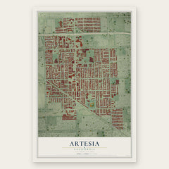

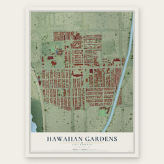
More maps nearby: Norwalk, Lakewood, Bellflower, Buena Park and Cypress.
The art of mapping a place
How This Map Was Made
Real places. Remarkable detail. Discover the layers that turn geographic data into a map of home.

The view from above
Aerial imagery reveals the character of the land: woodland, open fields, and the patterns of a place.

The shape of the land
Elevation data brings hills, valleys, and subtle changes in the landscape into view.

The details of home
Roads, waterways, and building footprints come together to make the map feel unmistakably local.

Geography becomes art
Considered color, shading, and typography bring the layers together in a map made for your wall.


Process illustrated with Mendon, Massachusetts. Aerial imagery: USDA NAIP. Terrain: USGS 3D Elevation Program. Map details and finished artwork: KNOWOL.
The Details
About This Print
Choose an archival matte print, or a black or white Ayous wood frame. The archival matte print is unframed.
Select your size and finish above to see the matching product image and price.
Materials & Craftsmanship
A contemporary map with the character of a classic atlas, printed on archival matte paper. Optional frames are made from Ayous wood.
Your printed map does not include the watermark shown in the full-map preview.
Shipping & Delivery
Free shipping within the United States. Every print is made to order in the USA.
Buying a gift? Add a note in your cart and we'll include it. We never put prices in the package.
Prints ship within 2 to 3 business days. Allow 7 to 10 days total from ordering for delivery. Timing may vary during holidays or periods of high order volume.
Read our shipping policy.
Returns and damaged prints
Each print is made to order. Change-of-mind refunds are not available after production.
If your print arrives damaged, misprinted or incorrect, contact support@knowol.com within 30 days of receiving it. Include your order number, photos and a description of the issue.
Read our full refund and replacement policy. For questions about your order, email support@knowol.com.