
Search for another town
Free U.S. delivery 7 to 10 days after you order
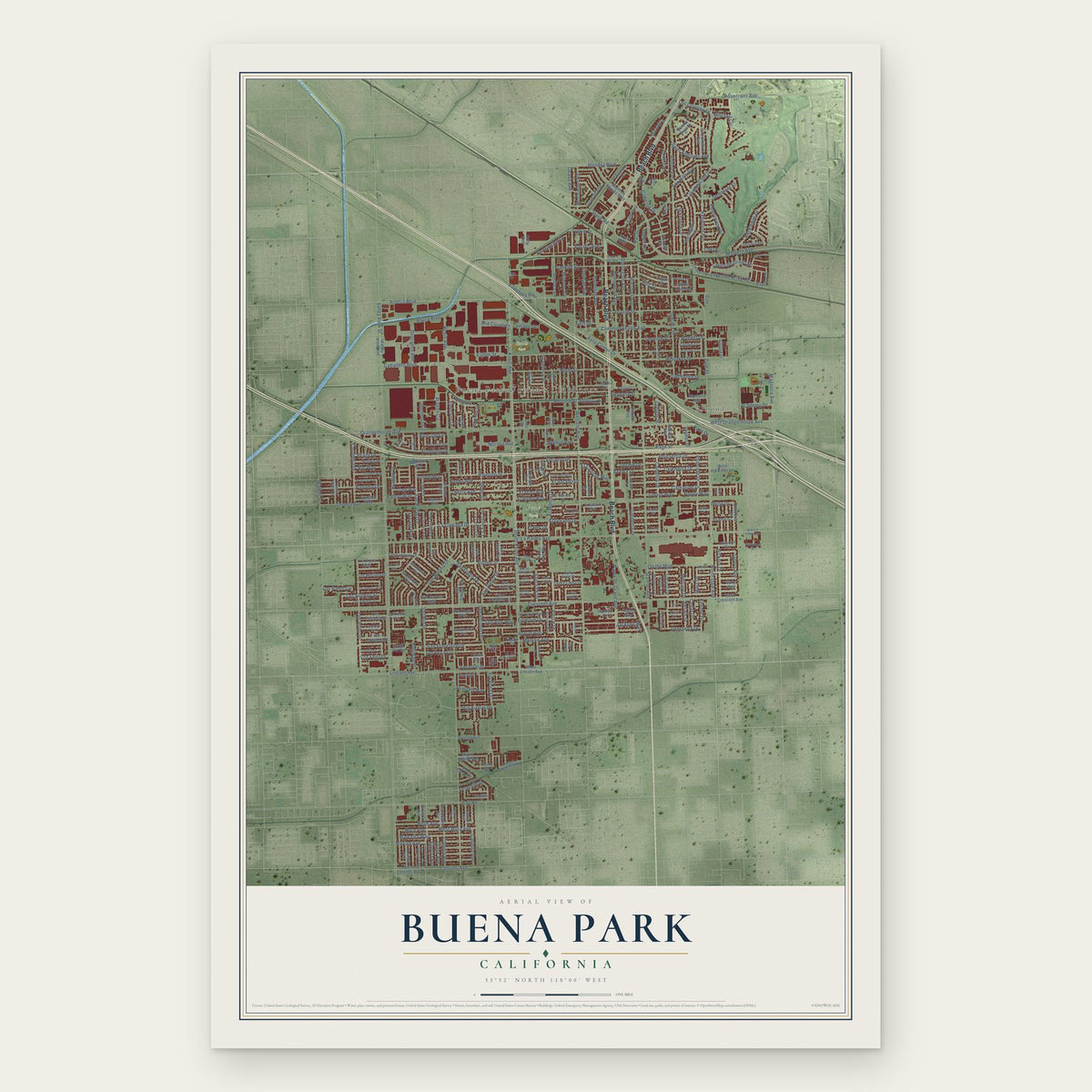
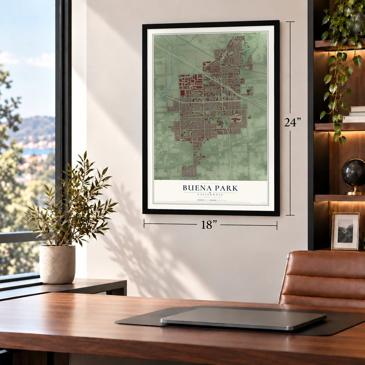
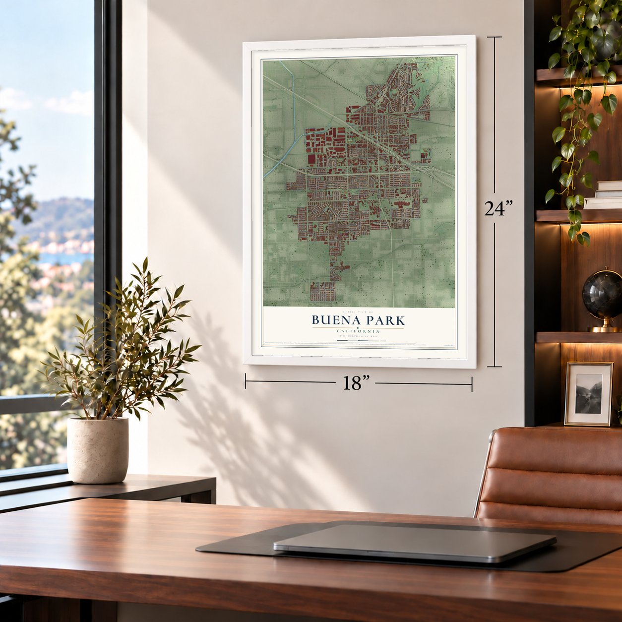
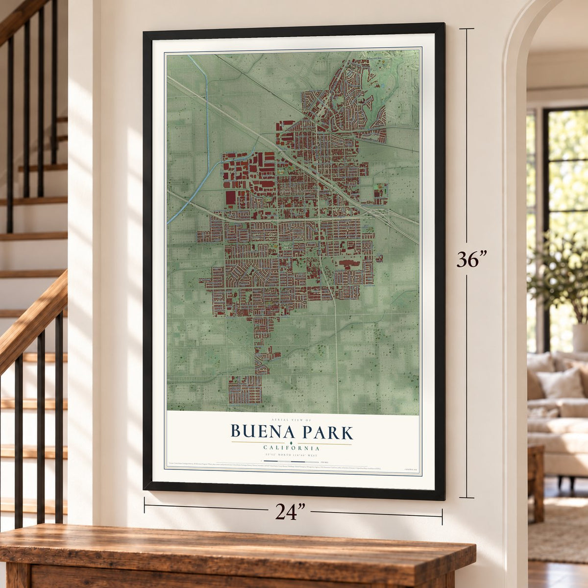
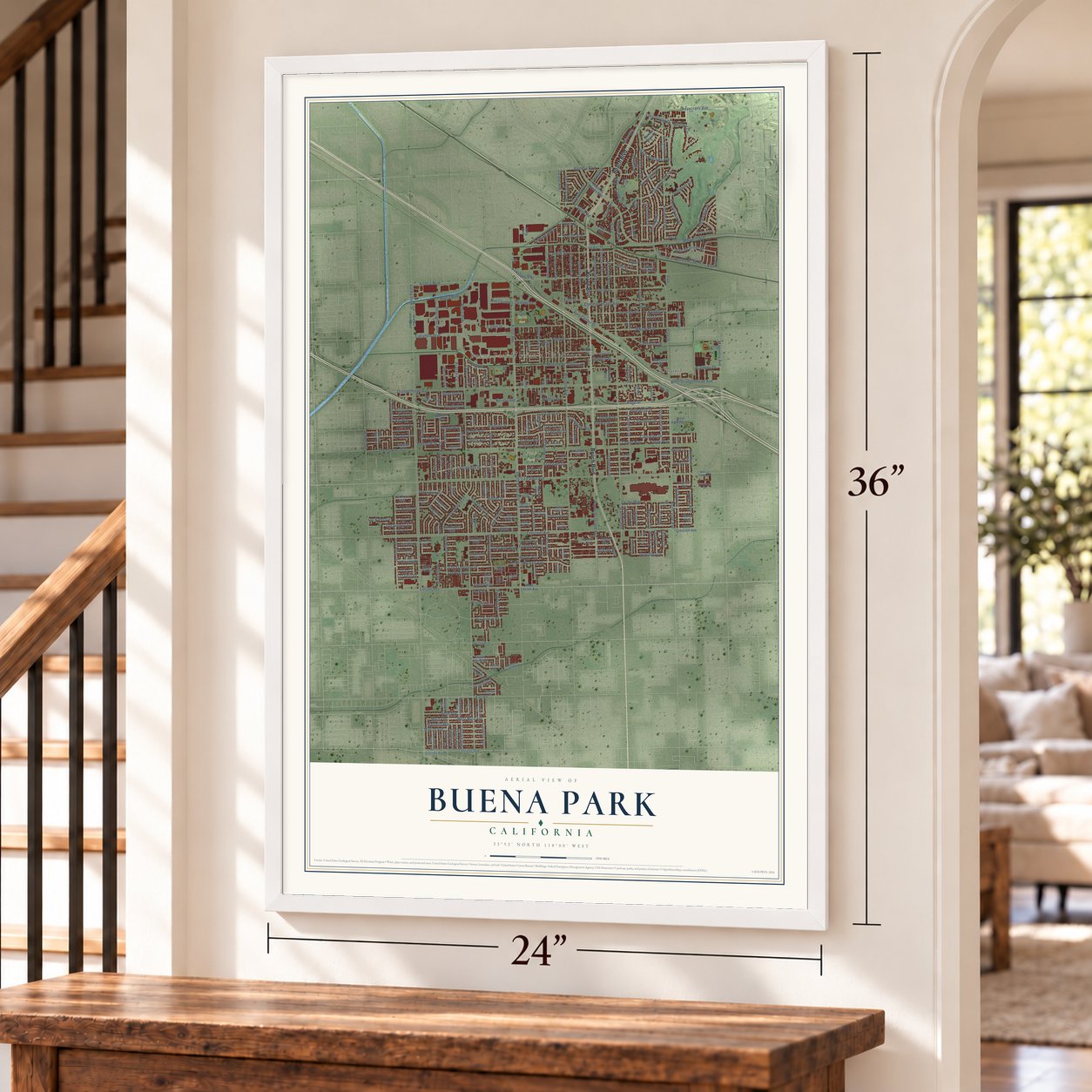
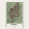
Buena Park, California Map Art
Building by building, with labeled streets and shaded relief.
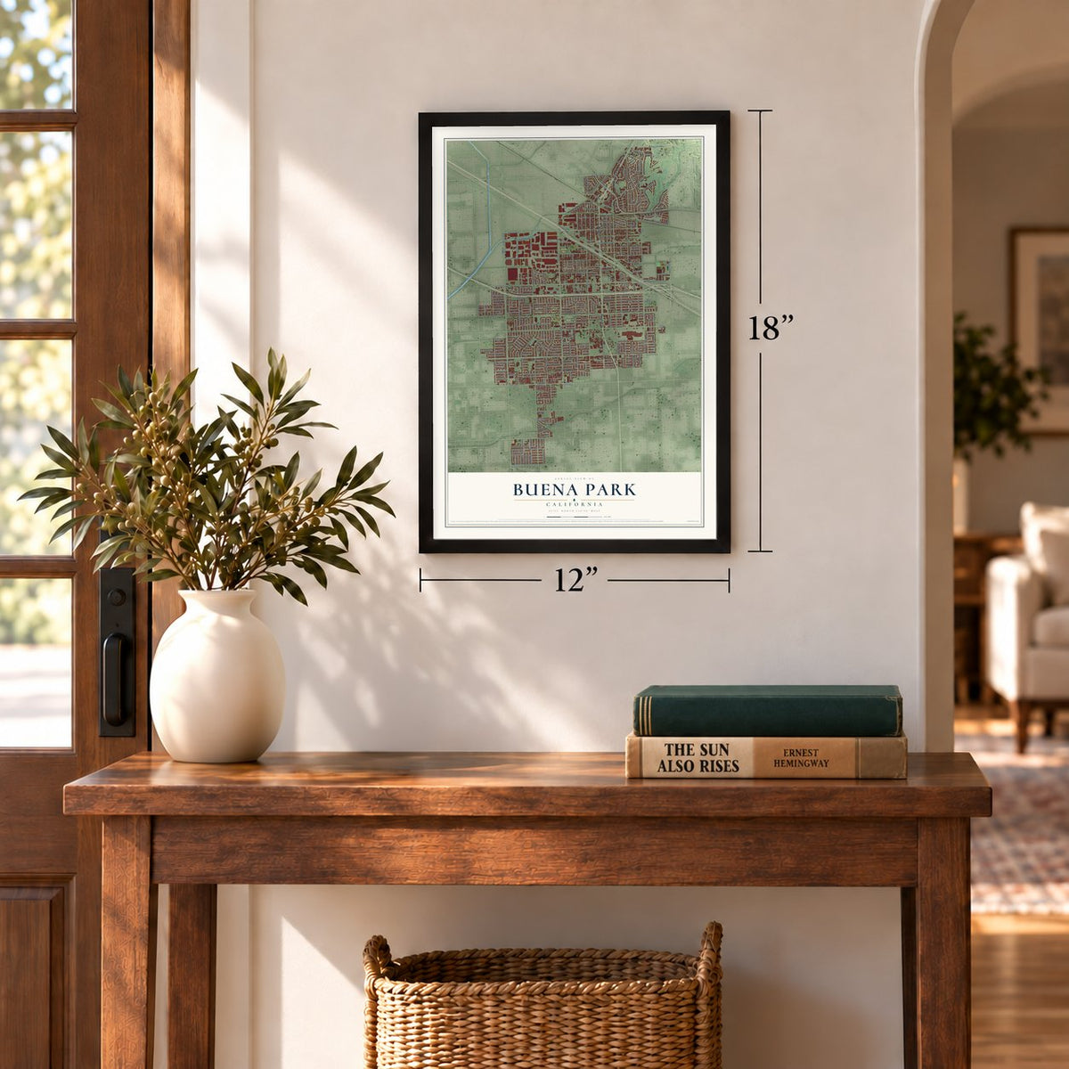
12" x 18" Archival Matte Print
A Map of Home. A Work of Art.
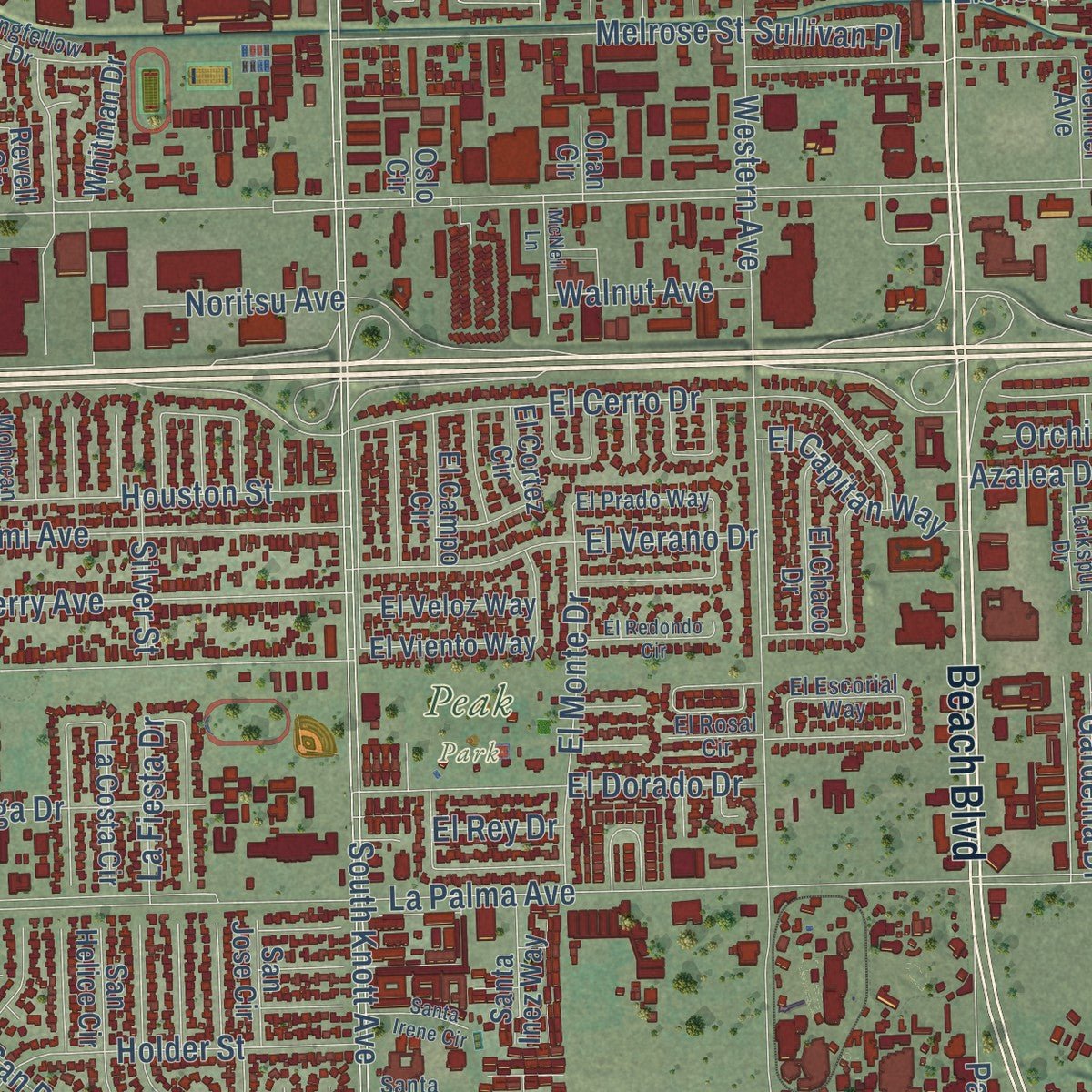
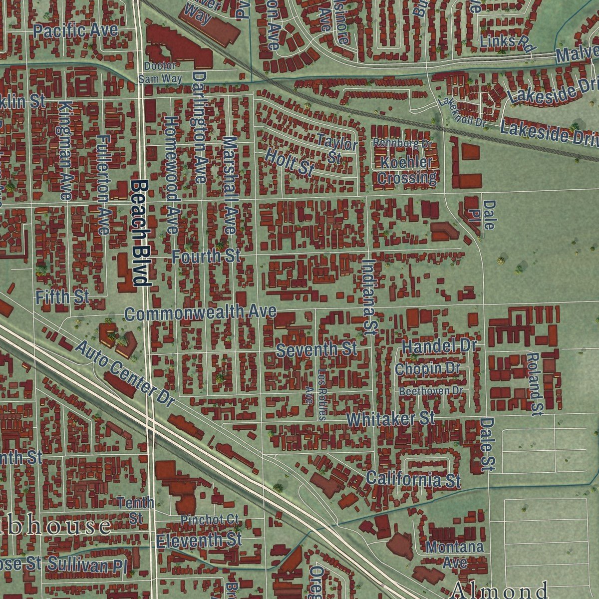
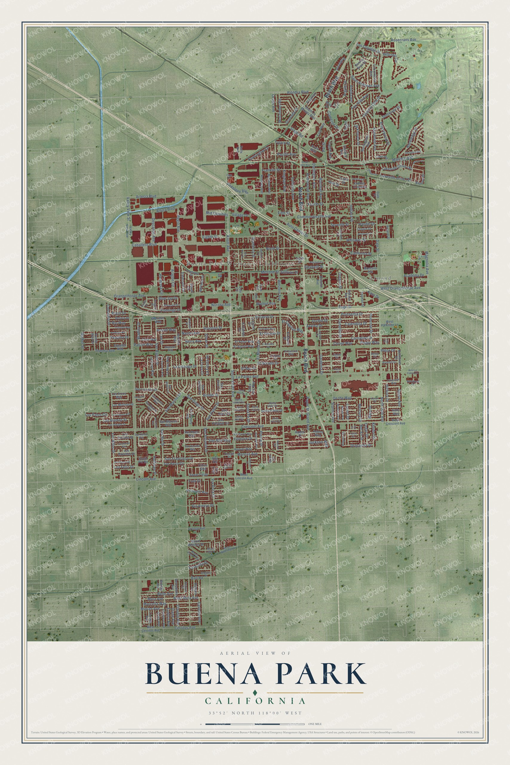
Explore Buena Park, California from a whole new perspective. Created using aerial imagery and detailed geographic data, this map captures Buena Park building by building, with labeled streets, familiar landmarks, and shaded topographical relief that highlights the natural contours of the landscape.
Combining modern data with the timeless character of a vintage atlas, this map is just as interesting up close as it is beautiful on the wall. Whether you grew up in Buena Park, spent memorable years there, or call it home today, this unique map is a great way to celebrate a place that means something to you. Zoom in on the preview to look for your street, and then order a print to put your memories on the wall.
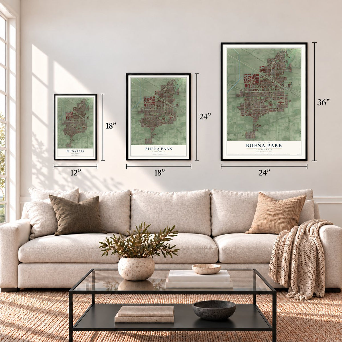
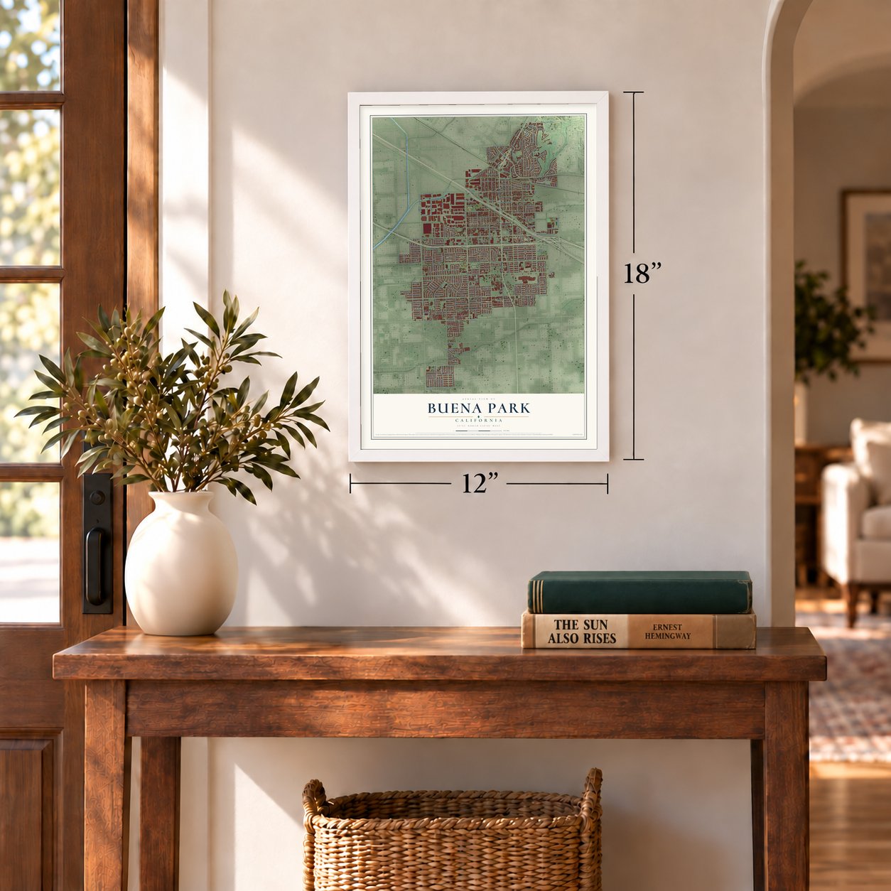
Three ways to hang it
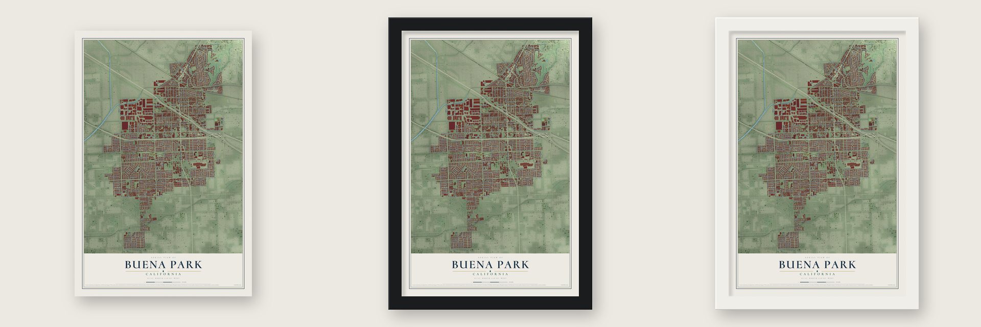
Unframed archival matte, a black wood frame or a white wood frame.
Up close
Geography Worth Displaying
This map was created using accurate cartographic data and authoritative geographic sources, including the U.S. Geological Survey and the Census Bureau. The map brings together terrain, waterways, roads, and building detail. The majority of the streets are labeled, houses are accurately depicted, and the topography is derived from government sources. Combining local data with carefully composed color and shading leads to this beautifully detailed Buena Park artwork for your wall.
Rather than simply showing street outlines, we’ve included as many of the street names as we could reasonably fit on the map while keeping their names legible. Zoom in on the high resolution preview to see exactly what’s on the map. We truly set out to create a statement piece for anyone who loves Buena Park. So whether it’s for you, or a gift for someone you love, we hope this map of Buena Park brings back fond memories.
Read the story behind this map of Buena Park, California from 2026.
Find your street
Names on the Buena Park map
Every name below is printed on this map. Look for your street, your school, the park where you played, or the pond down the road.
Places and landmarks4
- Buena Park Woman's Clubhouse
- Bellis Park
- Peak Park
- Almond
Streets and roads313
- Beach Boulevard
- Argyle Drive
- South Knott Avenue
- Valley View Street
- Knott Avenue
- Orangethorpe Avenue
- La Palma Avenue
- Crescent Avenue
- Holder Street
- Artesia Boulevard
- Western Avenue
- Stanton Avenue
- Malvern Avenue
- Auto Center Drive
- Dale Street
- Los Coyotes Drive
- Lincoln Avenue
- Eighth Street
- Caballero Boulevard
- North Dale Avenue
- Commonwealth Avenue
- Thelma Avenue
- Ninth Street
- San Rafael Drive
- Kingman Avenue
- Fox Hills Avenue
- Melrose Street
- Franklin Street
- Los Altos Drive
- Indiana Street
Show all 313 streets
- Ball Road
- Whitaker Street
- Fillmore Drive
- Fourth Street
- Somerset Street
- El Cerro Drive
- San Marino Drive
- Darlington Avenue
- Fullerton Avenue
- Poinsettia Drive
- San Diego Drive
- Country Club Drive
- Saint Andrews Avenue
- Carnation Drive
- La Cienaga Drive
- Homewood Avenue
- Marshall Avenue
- Jackson Way
- Page Street
- Primrose Drive
- Cerritos Avenue
- Pierce Drive
- Camellia Drive
- Myra Avenue
- West Myra Avenue
- Kenwood Avenue
- Granada Drive
- Monroe Avenue
- On the Mall
- Houston Street
- Naomi Avenue
- Berry Avenue
- El Verano Drive
- Eleventh Street
- Rosecrans Avenue
- El Dorado Drive
- Seventh Street
- Panama Drive
- Holt Street
- Calendula Drive
- El Monte Drive
- West Orangethorpe Avenue
- Colombia Drive
- Magnolia Avenue
- Emerywood Drive
- Rockledge Drive
- Locust Drive
- Marcella Way
- San Francisco Drive
- Belle Avenue
- Hillcrest Circle
- Cameron Drive
- Altura Boulevard
- Flamingo Drive
- Mid Counties
- Hickory Drive
- Lockhaven Drive
- San Rio Drive
- Regio Avenue
- Alondra Boulevard
- Via Vista Drive
- Grand Avenue
- San Pablo Drive
- Yosemite Drive
- San Antonio Drive
- McComber Road
- Gramercy Street
- Descanso Avenue
- Cajon Avenue
- Stage Road
- Paper Street
- California Street
- Via Arroyo Drive
- Los Alamos Street
- Ocaso Avenue
- Dracaena Drive
- Tulare Street
- El Capitan Way
- Carlotta Avenue
- San Alto Way
- Pacific Avenue
- Claudia Avenue
- Emerson Drive
- Walker Street
- Phlox Drive
- Hoffman Street
- La Fiesta Drive
- Bradley Drive
- Kensington Drive
- Aragon Circle
- Clover Way
- Poppy Way
- Santa Fe Drive
- Firestone Boulevard
- Gardenia Drive
- Kendor Drive
- Bel Air Street
- Pvt Street
- Walnut Avenue
- Noritsu Avenue
- Academy Drive
- Patton Way
- Eudora Avenue
- Diane Avenue
- Marian Avenue
- Los Feliz Drive
- Cedar Drive
- Hermosa Circle
- Mercury Drive
- Sullivan Place
- Los Palos Circle
- Azalea Drive
- Rio Way
- Silver Street
- Brazil Drive
- Guava Avenue
- Arnold Way
- Village Drive
- Mars Drive
- Blue Jay Drive
- Handel Drive
- Lee Drive
- Kass Drive
- Oregon Street
- Orchid Drive
- Fifth Street
- El Rey Drive
- York Drive
- Durango Drive
- Muir Drive
- Citrus Glen
- Sweet Fields
- South La Mirada Boulevard
- Rostrata Avenue
- Burnham Avenue
- West Cerritos Avenue
- San Lorenzo Drive
- Ridglea Avenue
- Burlingame Avenue
- San Marcos Way
- Valley View Avenue
- Hoover Way
- San Helice Circle
- Los Encinos Street
- Los Arcos Way
- Bayview Drive
- Sheridan Way
- Florence Avenue
- Adams Way
- Elsinore Avenue
- Tenth Street
- Mount Whitney Drive
- San Harco Circle
- Holly Way
- Equador Way
- Indiana Avenue
- San Pasqual Circle
- Roland Street
- West Crescent Avenue
- West Parkside Lane
- El Cortez Circle
- Whitman Drive
- University Way
- La Mesa Way
- Taylor Street
- Freeman Lane
- La Casa Way
- Los Ranchos Drive
- Los Molinos Drive
- River Way
- El Chaco Drive
- Santa Elena Drive
- Bellflower Drive
- Lincolnshire Avenue
- El Veloz Way
- El Viento Way
- Bolivia Drive
- San Hugo Way
- Thomas Street
- La Costa Circle
- San Simeon Circle
- Puerto Rico Drive
- Bernadette Avenue
- Revell Circle
- Greta Avenue
- Lorinda Avenue
- Pinyon Street
- Hershey Way
- El Campo Circle
- San Paco Circle
- Santa Inez Way
- West Lincoln Avenue
- Clark Way
- Orange Avenue
- Barbara Circle
- Bonnie Brae Drive
- Chopin Drive
- Montana Avenue
- Brenner Avenue
- South Pvt Road
- San Jose Circle
- Brenda Avenue
- Falls Way
- Koehler Crossing
- Links Road
- Haldor Place
- Dolly Avenue
- Oran Circle
- Dale Place
- Grant Circle
- Alta Vis
- Oslo Circle
- El Escorial Way
- Woodland Drive
- San Ricardo Way
- San Haroldo Way
- San Ramon Way
- Mount Waterman Drive
- Los Amigos Street
- Larkspur Drive
- Tamarack Way
- Sequoia Drive
- La Castana Way
- Pinchot Court
- Van Buren Way
- Santa Isabel Circle
- Santa Elise Circle
- Trinidad Way
- Harrison Way
- El Prado Way
- Longfellow Drive
- San Mateo Circle
- Mulberry Avenue
- Mango Way
- Cll de Camino
- Vestavia Avenue
- Pheasant Drive
- Mohican Drive
- Bluebell Drive
- Los Pacos Street
- Mount Palomar Drive
- Sherman Way
- Oriole Drive
- Younger Drive
- San Remo Way
- Beatrice Circle
- Barrett Circle
- El Rosal Circle
- Penguin Drive
- Venus Drive
- Santa Ana Circle
- Peony Circle
- Canna Circle
- Don Diego
- Cate Drive
- Mount Lowe Drive
- Los Angeles Way
- Los Santos Way
- San Carlos Way
- Los Robles Avenue
- Doctor Sam Way
- Honduras Way
- Highland Avenue
- El Redondo Circle
- Kerr Green
- Lakeknoll Drive
- Mariner Cv
- Beethoven Drive
- McNeil Lane
- Jefferson Drive
- San Yuba Way
- Rehnborg Drive
- Del Rosa Road
- Santa Irene Circle
- Santa Clara Street
- West La Palma Avenue
- Santa Valera Street
- Santa Paula Circle
- Madison Avenue
- Joshua Circle
- Cactus Circle
- Lilac Circle
- Elm Circle
Names are listed as they appear on the printed map. Zoom into the product photos to find them.
About Buena Park, California
Buena Park is a city of 84,034 people in northern Orange County, and Knott's Berry Farm is here. Its ground once belonged to Rancho Los Coyotes, which came to Abel Stearns after he lent money to Pio and Andrés Pico. In 1885 Stearns sold 690 acres to James A. Whitaker, a Chicago man who sold groceries wholesale. Two years later, in 1887, as new rail lines opened the region, Whitaker founded Buena Park.
The young town lived on farming, especially dairy, wine and citrus. Volunteers began lending donated books in 1905, and in 1919 the Buena Park Woman's Club made that effort a formal library district. Buena Park became an incorporated city on January 27, 1953. In the years that followed, its farms gave way to homes, shops and tourist attractions.
- The village of JuyubitLong before the town, the Tongva village of Juyubit stood at the base of the West Coyote Hills, along Coyote Creek, and it ranked among the largest villages in Tovaangar. Its people gathered acorns and seeds, hunted rabbit and mule deer, and traded on trails to the coast and the mountains. After the Spanish founded Mission San Gabriel in 1771, hundreds of villagers were taken there. Some joined Toypurina's failed revolt of 1785 to 1786 against them.
- Rancho Los CoyotesManuel Nieto, who had traveled with the Portolà expeditions, received a Spanish land grant in 1783. In 1834 his heirs split it into five ranchos. One of them, Rancho Los Coyotes, covered 46,806 acres and took in the land where Buena Park now stands. Its adobe headquarters sat on ground that is now the golf course of Los Coyotes Country Club.
- A name with two storiesNo one knows for sure where the name came from. Whitaker may have borrowed it from Buena Park, a Chicago suburb, though that place also got its name in 1887. Others trace it to an artesian well with grounds like a park, near today's Artesia and Beach Boulevards, which settlers called "Plaza Buena," Spanish for "good park."
- Cookies on Artesia BoulevardA Nabisco factory built in 1965 on Artesia Boulevard made Ritz Crackers, Honey Maid graham crackers and Nilla Wafers, and it once employed as many as 500 people. Drivers on the I-5 could see its red sign, and visitors often caught the smell of cookies. The plant closed and was torn down in 2006.
Keep exploring California
Buena Park is one of 1,990 California towns we've mapped. Every dot on the map is a print of its own.
The search covers every state, California first.
Near Buena Park
Order 2 or more town maps and save 10%. Shown in the size and finish you picked above, so they hang as a set.
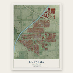
- La Palma 12" x 18" / Archival Matte Print $39.99
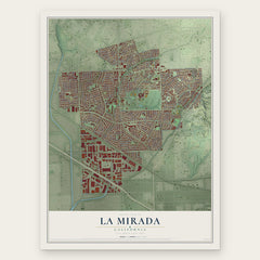
- La Mirada 12" x 18" / Archival Matte Print $39.99
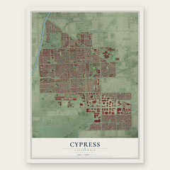
- Cypress 12" x 18" / Archival Matte Print $39.99
More maps nearby: Cerritos, Stanton, Hawaiian Gardens, Artesia and East La Mirada.
The art of mapping a place
How This Map Was Made
Real places. Remarkable detail. Discover the layers that turn geographic data into a map of home.

The view from above
Aerial imagery reveals the character of the land: woodland, open fields, and the patterns of a place.

The shape of the land
Elevation data brings hills, valleys, and subtle changes in the landscape into view.

The details of home
Roads, waterways, and building footprints come together to make the map feel unmistakably local.

Geography becomes art
Considered color, shading, and typography bring the layers together in a map made for your wall.


Process illustrated with Mendon, Massachusetts. Aerial imagery: USDA NAIP. Terrain: USGS 3D Elevation Program. Map details and finished artwork: KNOWOL.
The Details
About This Print
Choose an archival matte print, or a black or white Ayous wood frame. The archival matte print is unframed.
Select your size and finish above to see the matching product image and price.
Materials & Craftsmanship
A contemporary map with the character of a classic atlas, printed on archival matte paper. Optional frames are made from Ayous wood.
Your printed map does not include the watermark shown in the full-map preview.
Shipping & Delivery
Free shipping within the United States. Every print is made to order in the USA.
Buying a gift? Add a note in your cart and we'll include it. We never put prices in the package.
Prints ship within 2 to 3 business days. Allow 7 to 10 days total from ordering for delivery. Timing may vary during holidays or periods of high order volume.
Read our shipping policy.
Returns and damaged prints
Each print is made to order. Change-of-mind refunds are not available after production.
If your print arrives damaged, misprinted or incorrect, contact support@knowol.com within 30 days of receiving it. Include your order number, photos and a description of the issue.
Read our full refund and replacement policy. For questions about your order, email support@knowol.com.