
Search for another town

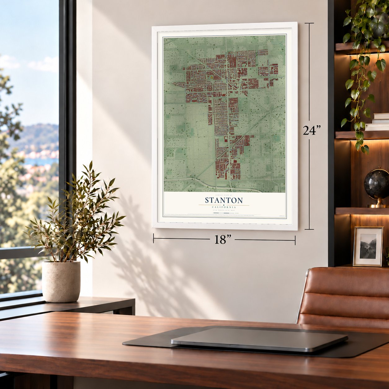
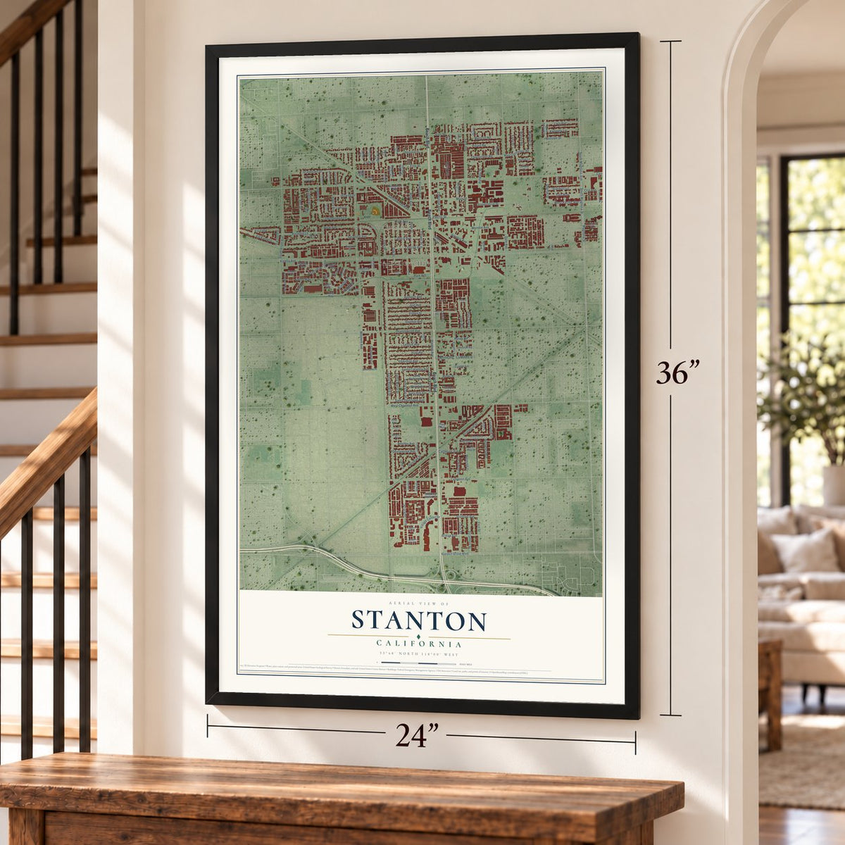
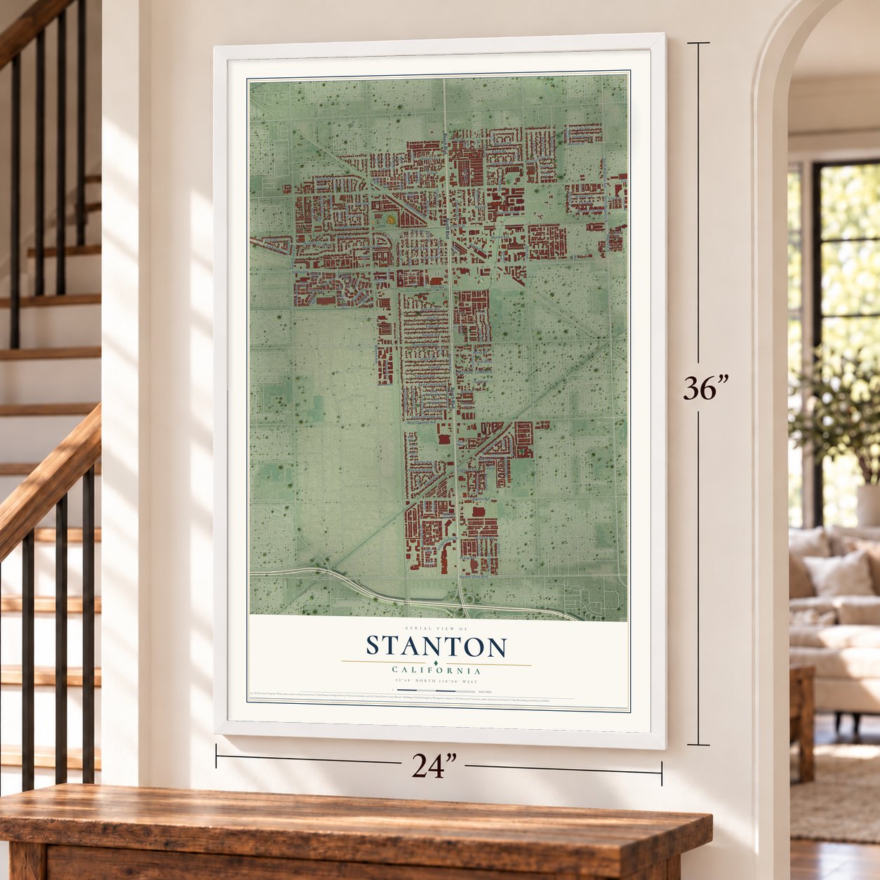
Free U.S. delivery 7 to 10 days after you order
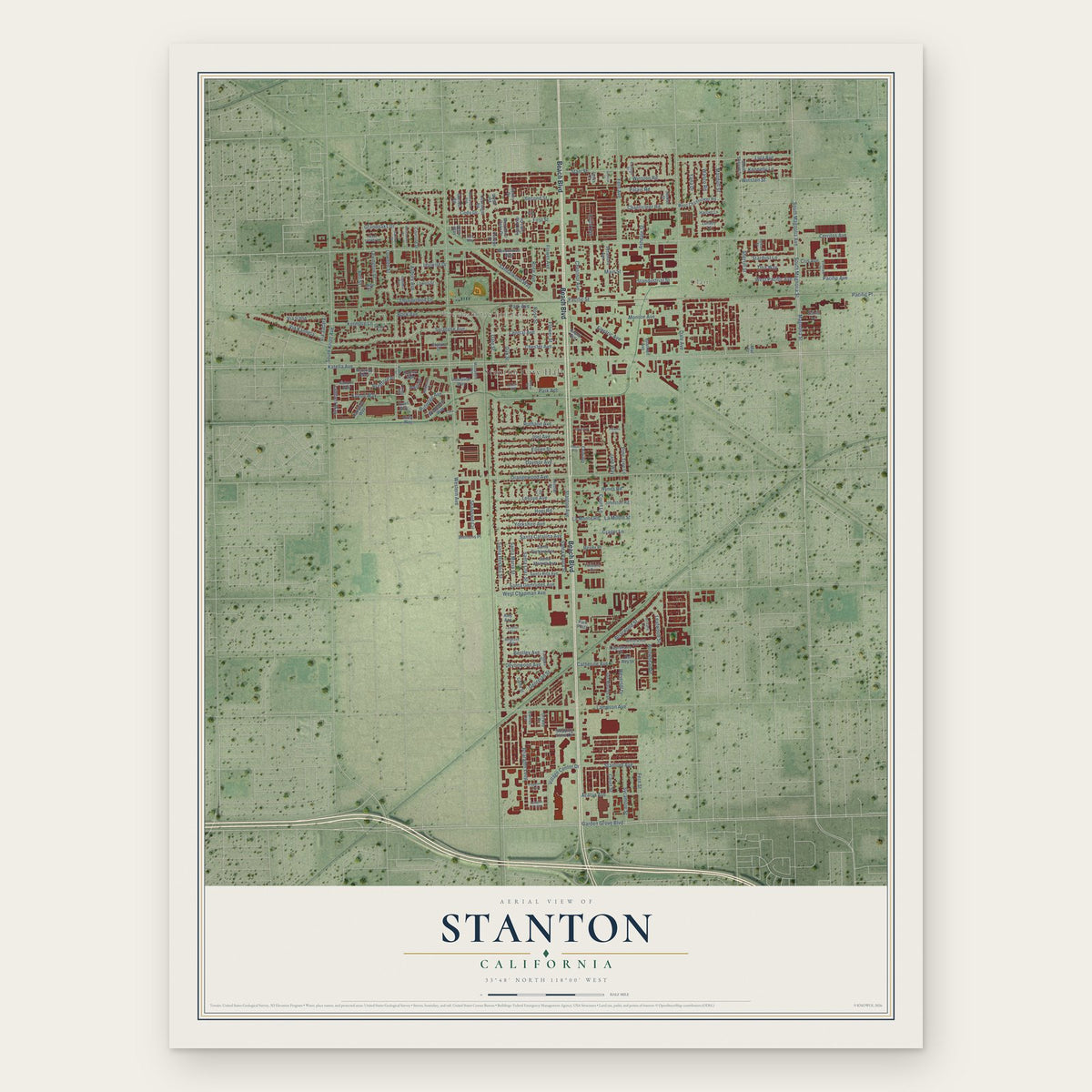
Stanton, California Map Art
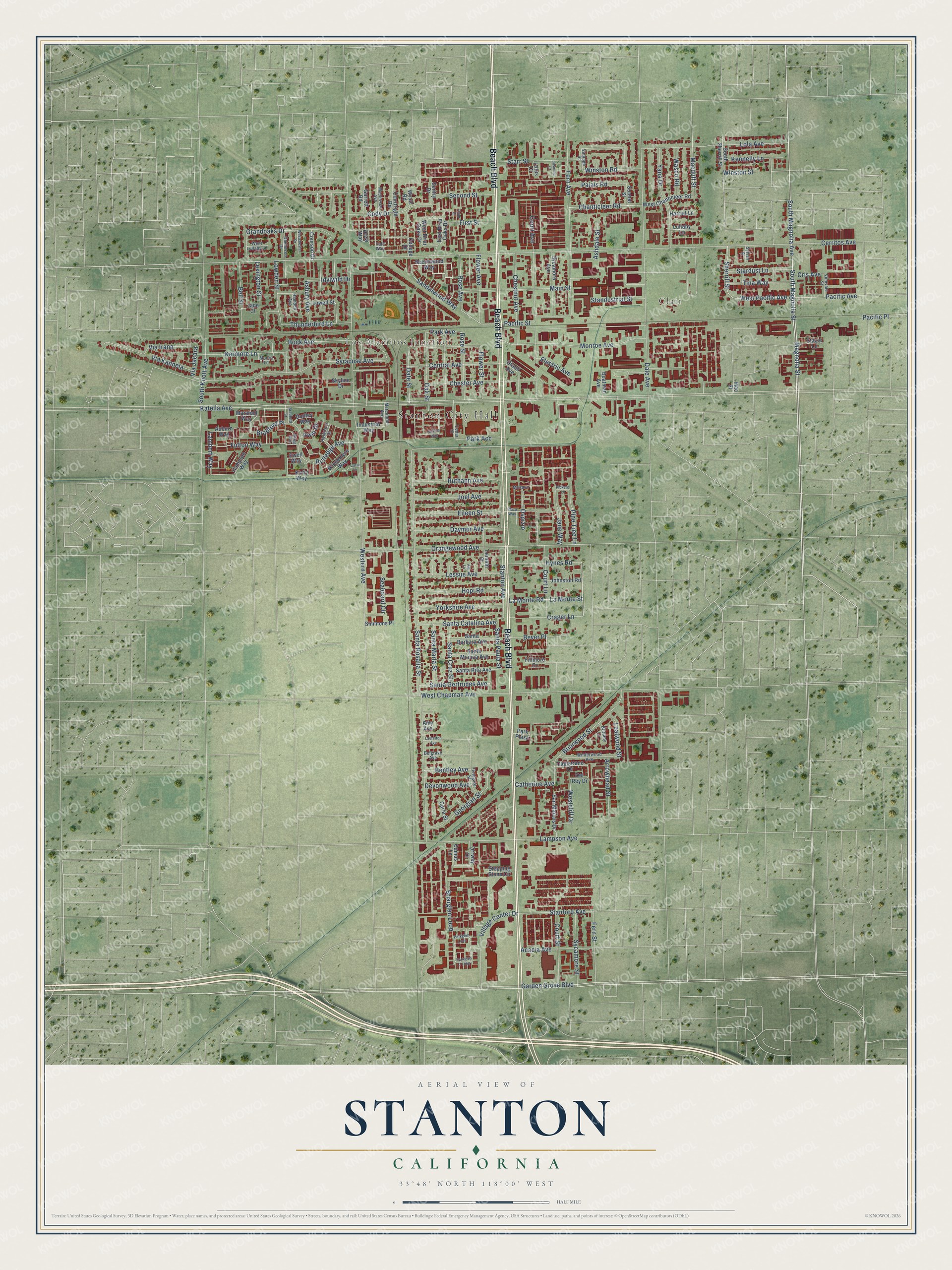
A new map of Stanton, California, made in 2026 and printed to order on thick archival matte paper.
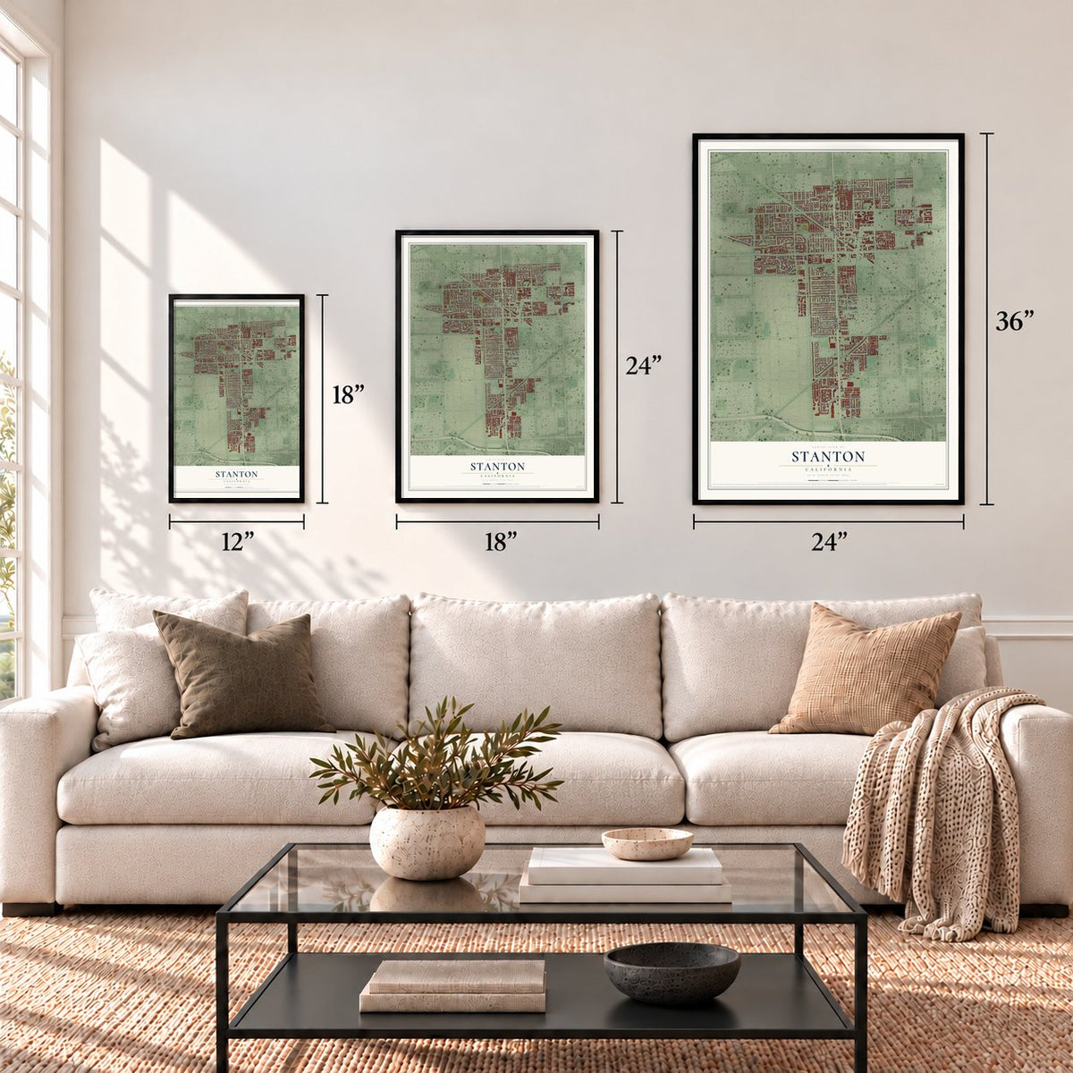
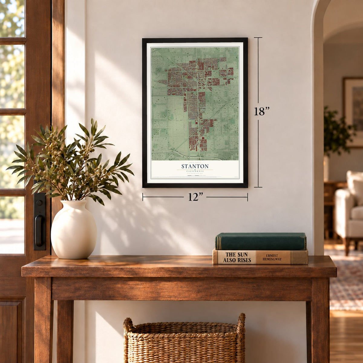
12" x 18" Archival Matte Print
A Map of Home. A Work of Art.
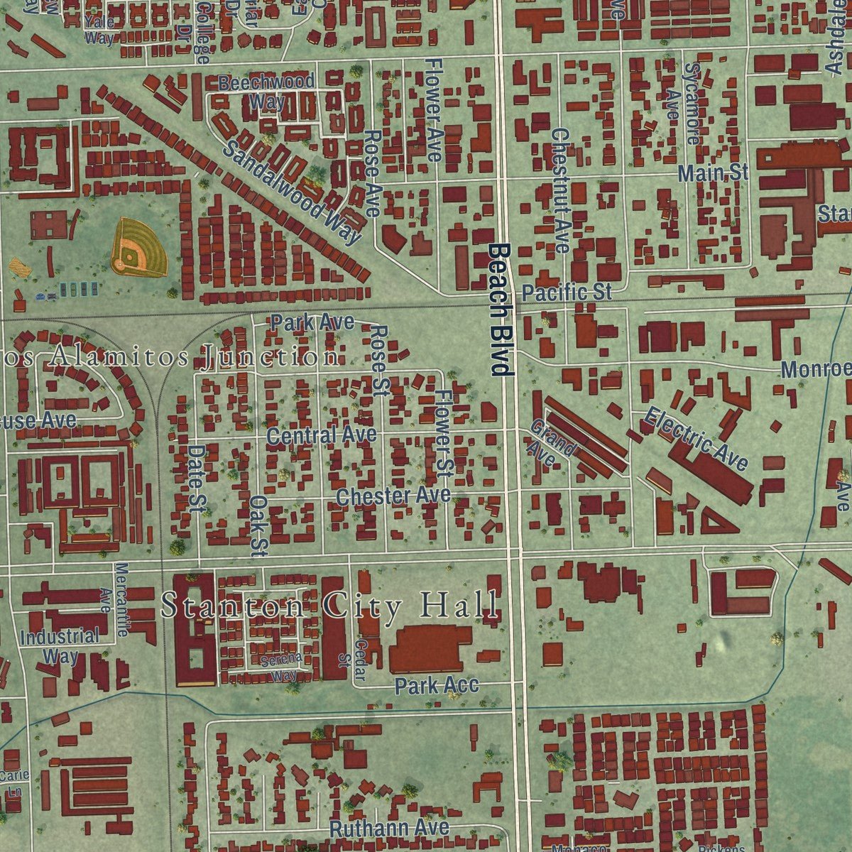
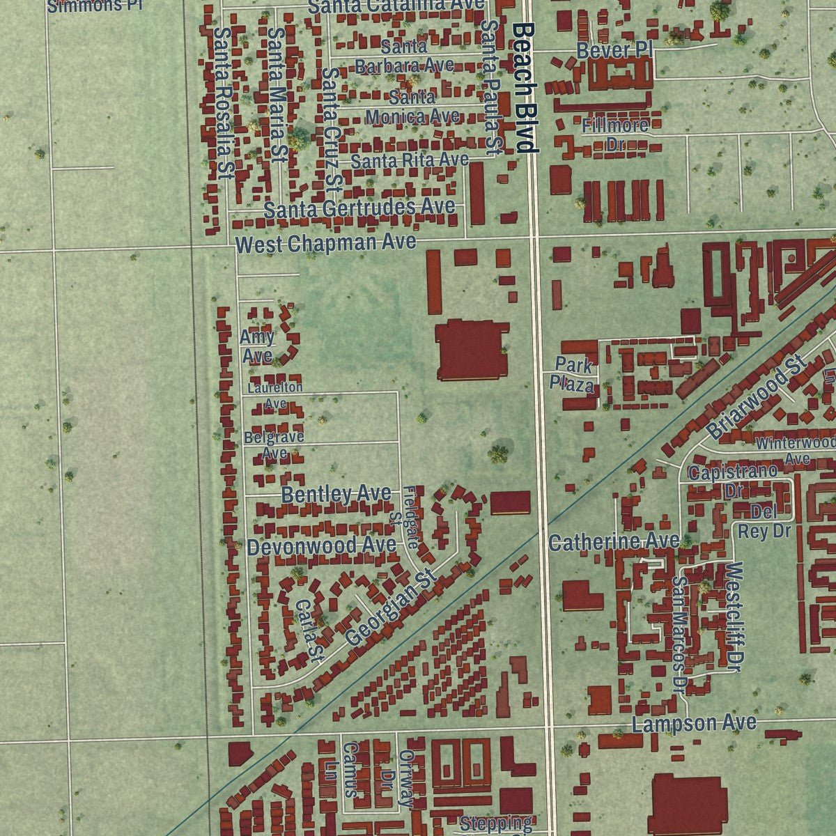
Explore Stanton, California from a whole new perspective. Created using aerial imagery and detailed geographic data, this map captures Stanton building by building, with labeled streets, familiar landmarks, and shaded topographical relief that highlights the natural contours of the landscape.
Combining modern data with the timeless character of a vintage atlas, this map is just as interesting up close as it is beautiful on the wall. Whether you grew up in Stanton, spent memorable years there, or call it home today, this unique map is a great way to celebrate a place that means something to you. Zoom in on the preview to look for your street, and then order a print to put your memories on the wall.
Three ways to hang it
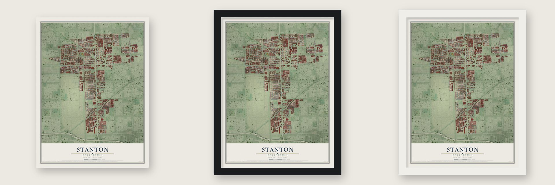
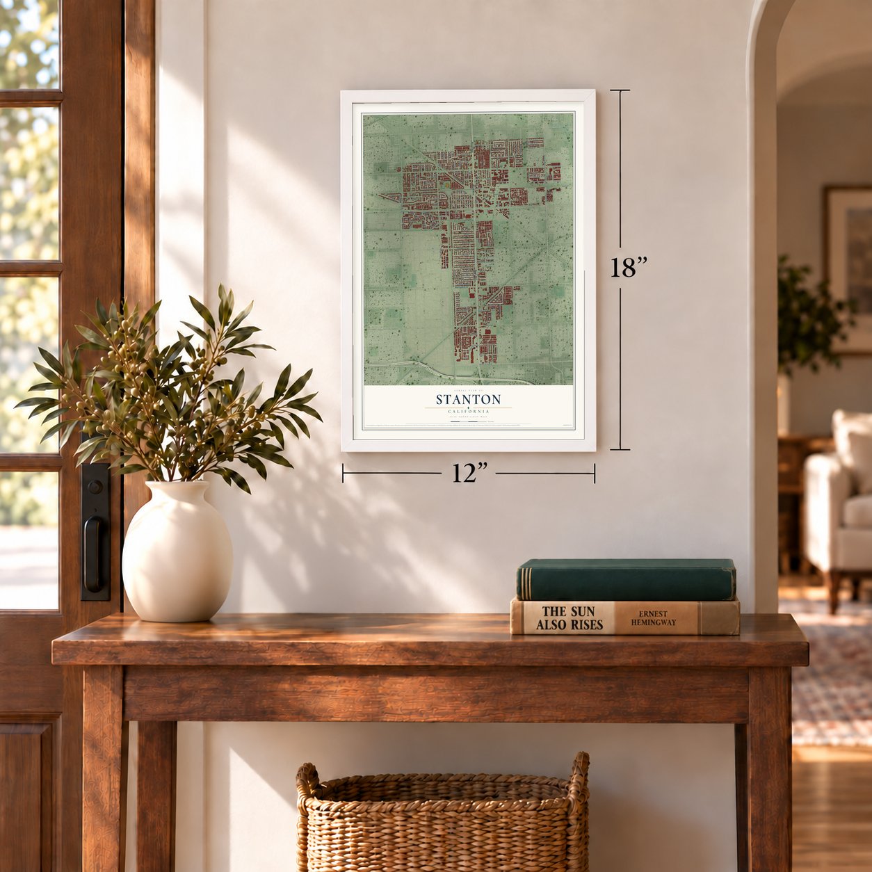
Unframed archival matte, a black wood frame or a white wood frame.
Up close
Geography Worth Displaying
This map was created using accurate cartographic data and authoritative geographic sources, including the U.S. Geological Survey and the Census Bureau. The map brings together terrain, waterways, roads, and building detail. The majority of the streets are labeled, houses are accurately depicted, and the topography is derived from government sources. Combining local data with carefully composed color and shading leads to this beautifully detailed Stanton artwork for your wall.
Rather than simply showing street outlines, we’ve included as many of the street names as we could reasonably fit on the map while keeping their names legible. Zoom in on the high resolution preview to see exactly what’s on the map. We truly set out to create a statement piece for anyone who loves Stanton. So whether it’s for you, or a gift for someone you love, we hope this map of Stanton brings back fond memories.
Read the story behind this map of Stanton, California from 2026.

About Stanton, California
Stanton is a city of 37,962 people in northern Orange County, with Anaheim, Cypress and Garden Grove on its borders. In Spanish times the land belonged to Rancho Los Nietos, granted to Manuel Nieto in 1784. After he died, his heirs split it into five ranchos, and today's city sits mostly on two of them, Rancho Los Alamitos and Rancho Los Coyotes.
The Los Angeles Interurban Railway opened its Santa Ana Line on November 4, 1905, on a nearly straight route from Watts to Santa Ana, and the farm country along it began to fill in. The railway first called the stop Benedict. In 1911 Anaheim planned a sewage farm to its west, so residents formed a city of their own, then the biggest in Orange County by area. They named it for Philip A. Stanton, a Republican who represented Los Angeles in the Assembly from 1903 to 1909, served as Speaker, and helped them incorporate.
“The branch of the Southern Pacific Railroad, running from Anaheim to Los Alamitos, intersects the main line of the Pacific Electric Railway, running from Los Angeles to Santa Ana, in the very heart of the city of Stanton.”
- A city twice, 1911 and 1956Running a city meant paying for roads, and in 1924 residents voted to give up their charter rather than build them. In the early 1950s new families poured into the area, and nearby cities moved fast to annex land. Residents answered in May 1956 by incorporating again, and that vote created the City of Stanton of today.
- Interurban trains until 1950The Pacific Electric Railway leased the Santa Ana Line in 1908 and made it part of its regional rail system. Passenger trains to Santa Ana stopped running in 1950. The Orange County Transportation Authority still owns the old rail corridor through the city.
- County services since 1987In 1987 Stanton closed its own police and fire departments and hired county agencies instead. The Orange County Sheriff's Department and the Orange County Fire Authority have protected the city since then.
Find your street
Names on the Stanton map
Every name below is printed on this map. Look for your street, your school, the park where you played, or the pond down the road.
Places and landmarks3
- Stanton City Hall
- Clair
- Los Alamitos Junction
Streets and roads188
- Beach Boulevard
- Magnolia Street
- Jane Way
- Bever Place
- South Magnolia Avenue
- South Magnolia Street
- Katella Avenue
- Cerritos Avenue
- Western Avenue
- Dale Avenue
- Santa Rosalia Street
- West Chapman Avenue
- South Knott Avenue
- Orangewood Avenue
- Syracuse Avenue
- Monroe Avenue
- Lola Avenue
- Court Avenue
- Lampson Avenue
- Briarglen Loop
- Fern Avenue
- Garden Grove Boulevard
- Central Avenue
- Chanticleer Road
- Pacific Avenue
- West Pacific Avenue
- Briarwood Street
- Rose Street
- Flower Avenue
- Chestnut Avenue
Show all 188 streets
- Court Street
- Pacific Street
- Main Street
- Chester Avenue
- Stanton Avenue
- Rutledge Avenue
- Palais Road
- Yana Drive
- Via Irana
- Fulton Way
- Davmor Avenue
- Lessue Avenue
- Lowden Street
- Kermore Lane
- Santa Catalina Avenue
- Sherrill Street
- Starr Street
- Eileen Street
- Georgian Street
- Joel Avenue
- Hopi Road
- Santa Maria Street
- Yorkshire Avenue
- Grandoaks Drive
- Ruthann Avenue
- Cody Drive
- Village Center Drive
- Stanford Avenue
- Seaboard Circle
- Sycamore Street
- Crager Lane
- Acacia Avenue
- Hynes Road
- La Monte Road
- La Monte Street
- Thunderbird Lane
- Fern Street
- Oak Street
- Lexington Street
- Santa Paula Street
- Santa Gertrudes Avenue
- Park Avenue
- Santa Cruz Street
- Macduff Street
- Sandalwood Way
- Idylwild Drive
- Stardust Lane
- Tina Way
- Bock Avenue
- Second Street
- Bradford Place
- Electric Avenue
- Arrowhead Street
- Kennelly Lane
- Bell Street
- Winston Road
- Pine Tree Lane
- Rose Avenue
- Standustrial Street
- Date Street
- Court Lane
- Ashdale Street
- First Street
- Flower Street
- Park Acc
- Winston Street
- Asbury Avenue
- Wasco Road
- Devonwood Avenue
- Bentley Avenue
- Leafwood Street
- Westcliff Drive
- Via Kannela
- Lambert Way
- Ospizio
- Catherine Avenue
- Cris Avenue
- Via Jacara
- Pacific Place
- Irwin Drive
- Beechwood Way
- West Chanticleer Road
- South Sherrill Street
- College Drive
- Courson Drive
- Sycamore Avenue
- West Briar Oaks Drive
- Hampton Way
- Lullaby Lane
- Santa Rita Avenue
- Santa Barbara Avenue
- Santa Monica Avenue
- San Marcos Drive
- Courtright Road
- Lenmar Street
- Garrett Road
- Sonnet Street
- Lowell Street
- Windemere Way
- Johnston Road
- Capistrano Drive
- Stepping Stone Circle
- East Briar Oaks Drive
- Simmons Place
- Industrial Way
- Stacie Lane
- Boatman Avenue
- Ewell Way
- Skyline Drive
- Fillmore Drive
- Orrway Drive
- Harriet Lane
- Kirby Way
- Auburn Way
- Camus Lane
- Dudley Way
- Sentry Drive
- Marshall Way
- Carla Street
- Del Rey Drive
- Grand Avenue
- Wyatt Road
- Jade Court
- Drew Way
- Park Plaza
- Lotus Court
- Mac Street
- Amy Avenue
- Vantage Street
- Cedar Street
- Winterwood Avenue
- West Lullaby Lane
- Moore Lane
- Hamden Avenue
- Oakhaven Drive
- Fieldgate Street
- Masterson Avenue
- Sylvan Street
- Robinson Drive
- Mercantile Avenue
- Vinevale Street
- Brittany Lane
- Monaco
- Belgrave Avenue
- Yale Way
- Plaza Way
- Serena Way
- Parkglen Loop
- Parkglen 1 Loop
- Westchester Drive
- Carie Lane
- Laurelton Avenue
- Bradford Street
- Ale Lane
- Jasmine Court
- Pickens Lane
- Ryan Street
- Bragg Way
Names are listed as they appear on the printed map. Zoom into the product photos to find them.
The art of mapping a place
How This Map Was Made
Real places. Remarkable detail. Discover the layers that turn geographic data into a map of home.

The view from above
Aerial imagery reveals the character of the land: woodland, open fields, and the patterns of a place.

The shape of the land
Elevation data brings hills, valleys, and subtle changes in the landscape into view.

The details of home
Roads, waterways, and building footprints come together to make the map feel unmistakably local.

Geography becomes art
Considered color, shading, and typography bring the layers together in a map made for your wall.


Process illustrated with Mendon, Massachusetts. Aerial imagery: USDA NAIP. Terrain: USGS 3D Elevation Program. Map details and finished artwork: KNOWOL.
The Details
About This Print
Choose an archival matte print, or a black or white Ayous wood frame. The archival matte print is unframed.
Select your size and finish above to see the matching product image and price.
Materials & Craftsmanship
A contemporary map with the character of a classic atlas, printed on archival matte paper. Optional frames are made from Ayous wood.
Your printed map does not include the watermark shown in the full-map preview.
Shipping & Delivery
Free shipping within the United States. Every print is made to order in the USA.
Buying a gift? Add a note in your cart and we'll include it. We never put prices in the package.
Prints ship within 2 to 3 business days. Allow 7 to 10 days total from ordering for delivery. Timing may vary during holidays or periods of high order volume.
Read our shipping policy.
Returns and damaged prints
Each print is made to order. Change-of-mind refunds are not available after production.
If your print arrives damaged, misprinted or incorrect, contact support@knowol.com within 30 days of receiving it. Include your order number, photos and a description of the issue.
Read our full refund and replacement policy. For questions about your order, email support@knowol.com.
Find your town
Looking for another city?
Find a map of home in our California collection, or any town in the country.
Nearby
Maps of towns near Stanton
Know someone from one of these towns? Their map makes a great gift.
 Garden Grove
, California
From $39.99See the map
 Cypress
, California
From $39.99See the map
 Westminster
, California
From $39.99See the map
More maps nearby: Midway City, Los Alamitos, Buena Park, La Palma and Hawaiian Gardens.