
Search for another town
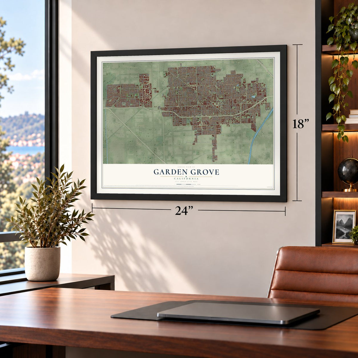
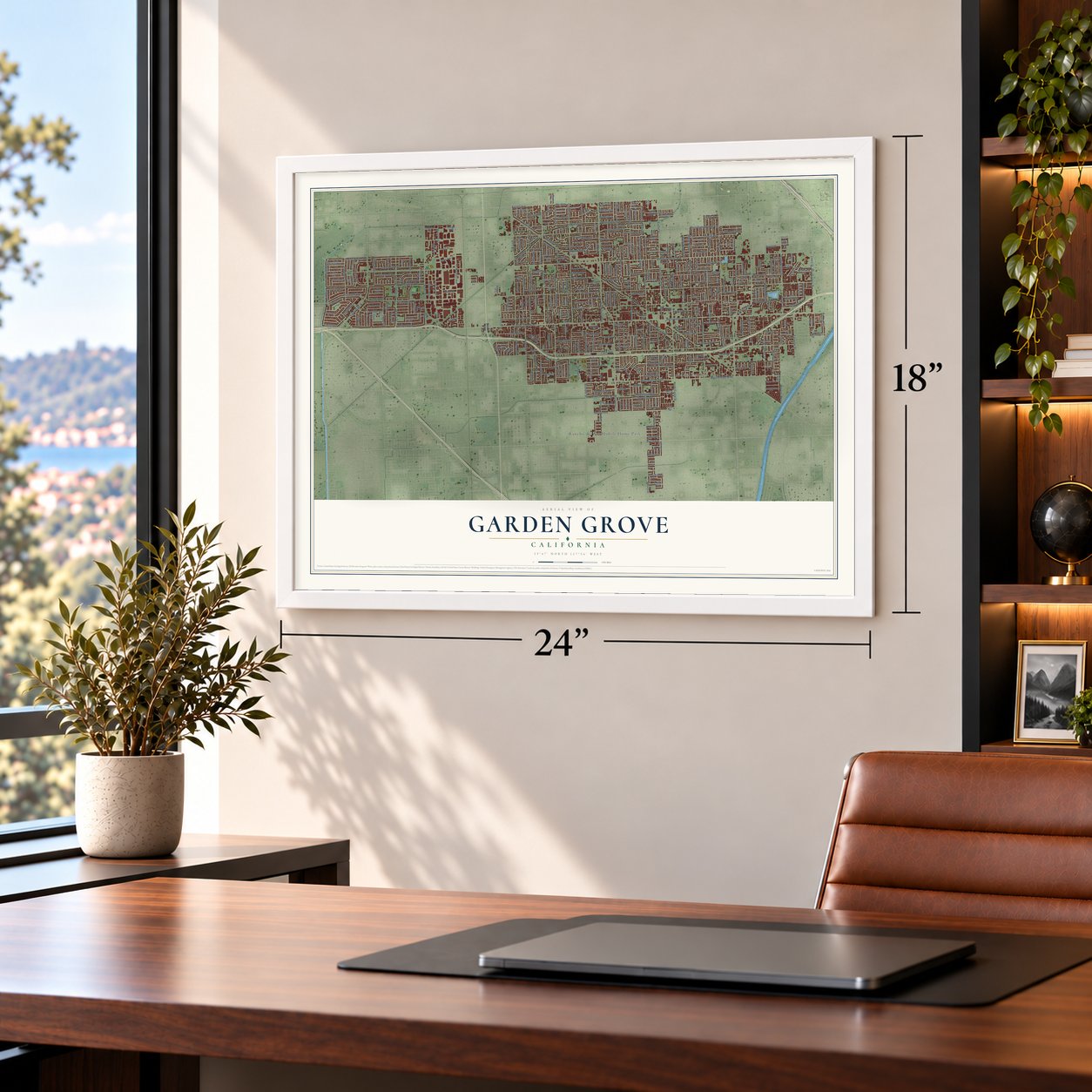
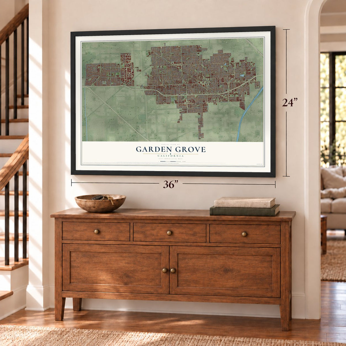
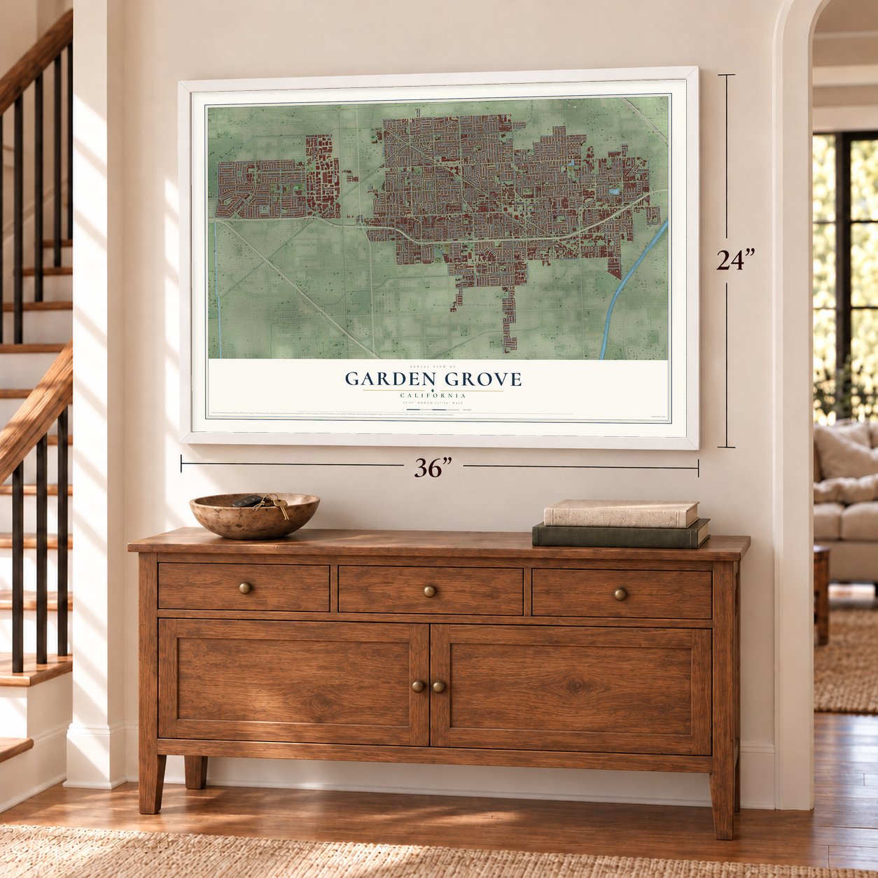

Free U.S. delivery 7 to 10 days after you order
Garden Grove, California Map Art
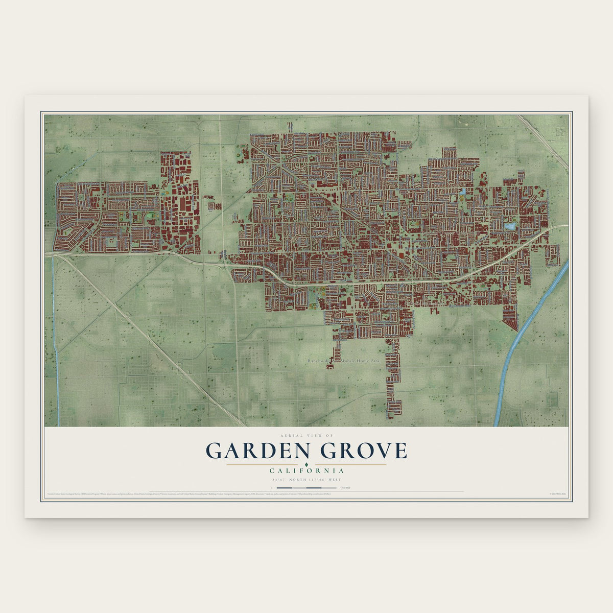
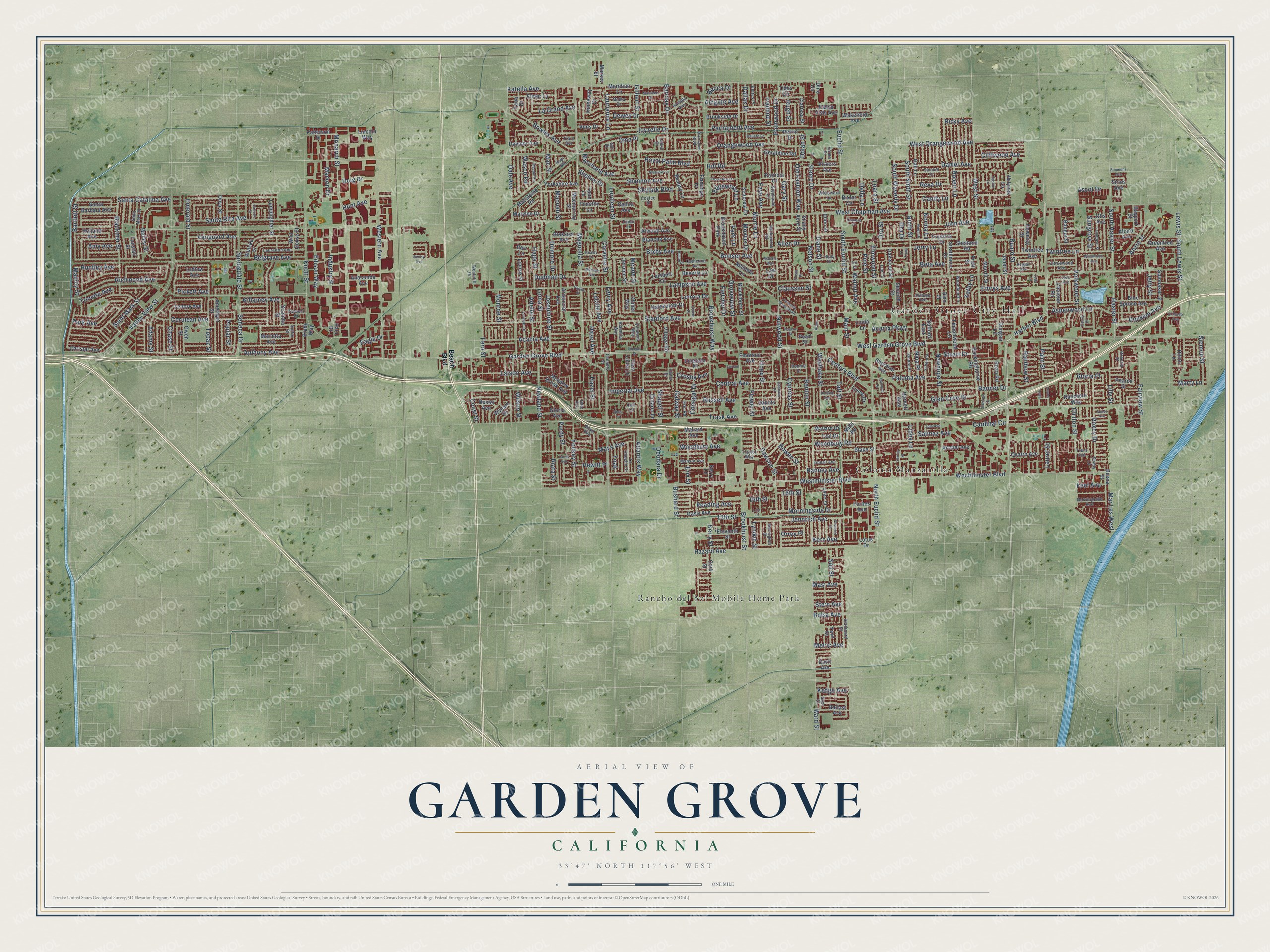
A new map of Garden Grove, California, made in 2026 and printed to order on thick archival matte paper.
12" x 18" Archival Matte Print
A Map of Home. A Work of Art.
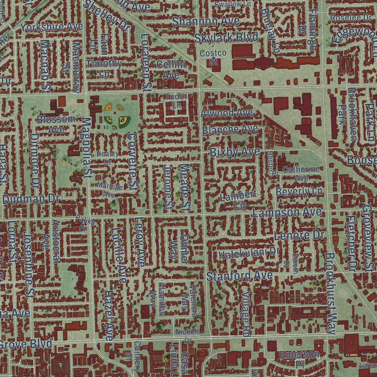
Explore Garden Grove, California from a whole new perspective. Created using aerial imagery and detailed geographic data, this map captures Garden Grove building by building, with labeled streets, familiar landmarks, and shaded topographical relief that highlights the natural contours of the landscape.
Combining modern data with the timeless character of a vintage atlas, this map is just as interesting up close as it is beautiful on the wall. Whether you grew up in Garden Grove, spent memorable years there, or call it home today, this unique map is a great way to celebrate a place that means something to you. Zoom in on the preview to look for your street, and then order a print to put your memories on the wall.
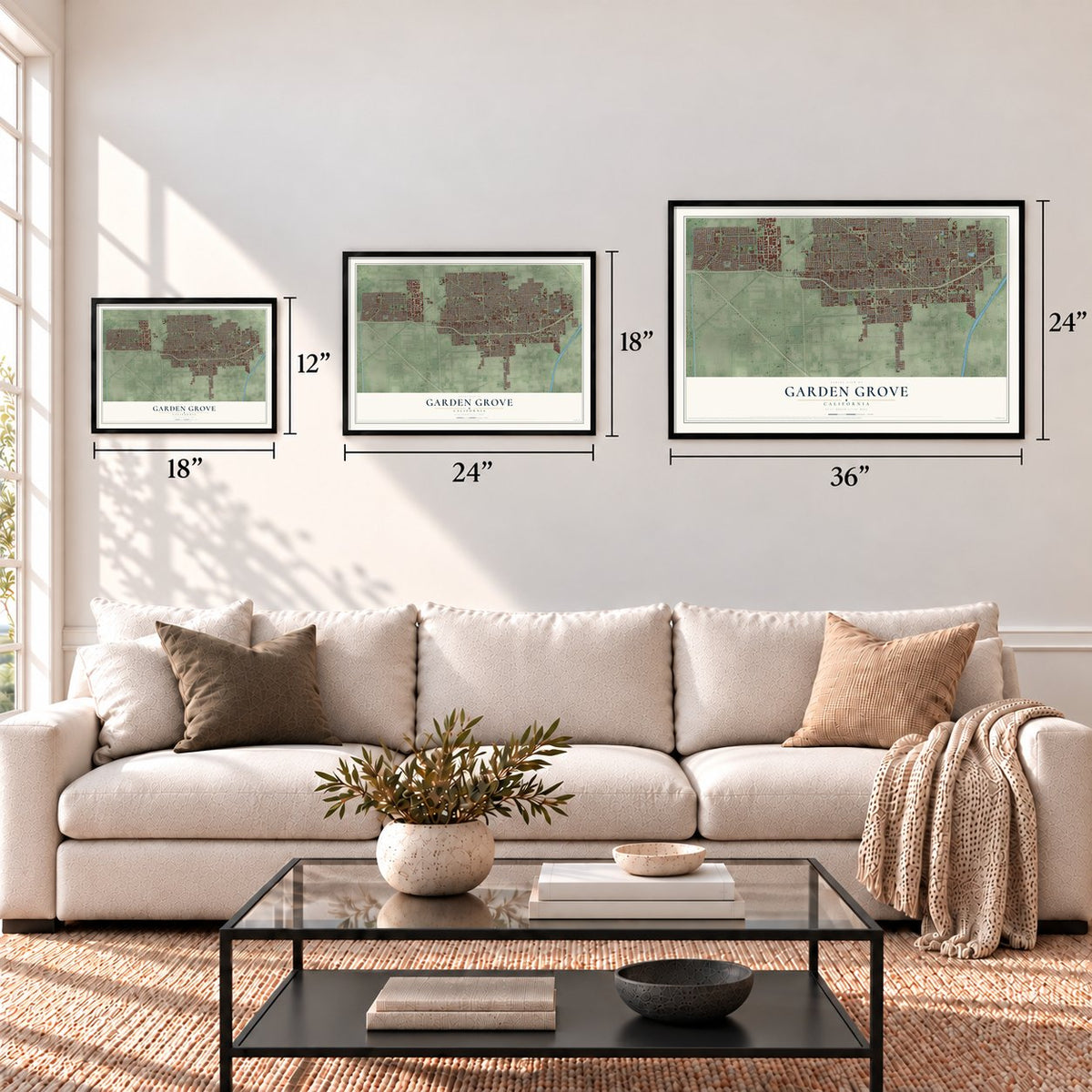
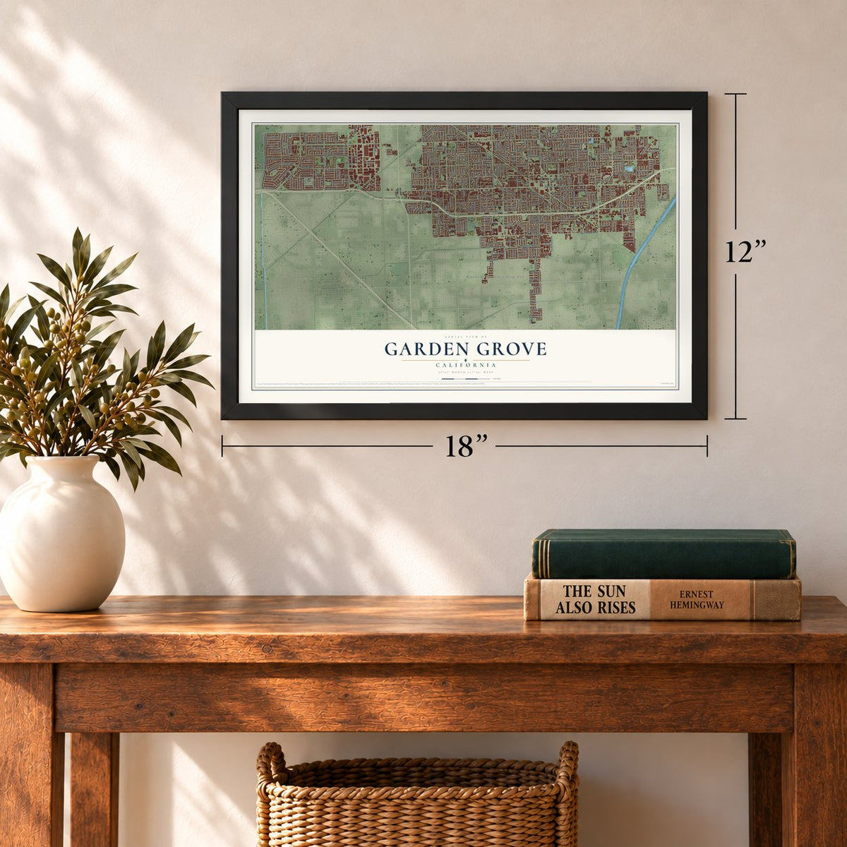
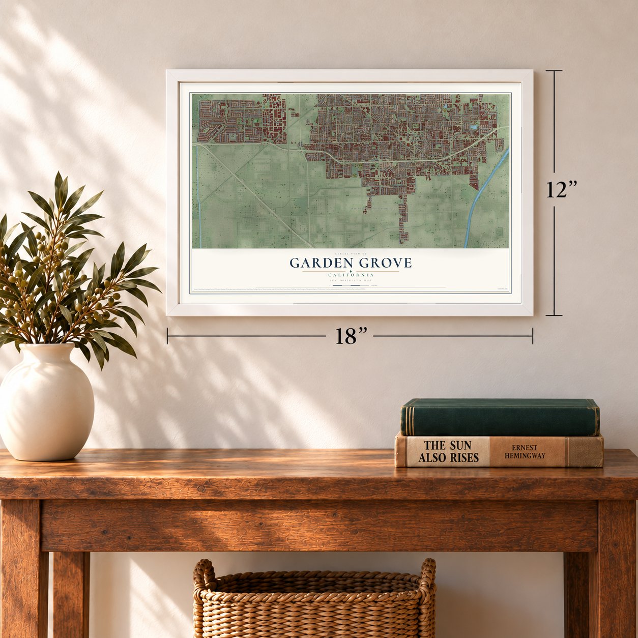
Three ways to hang it
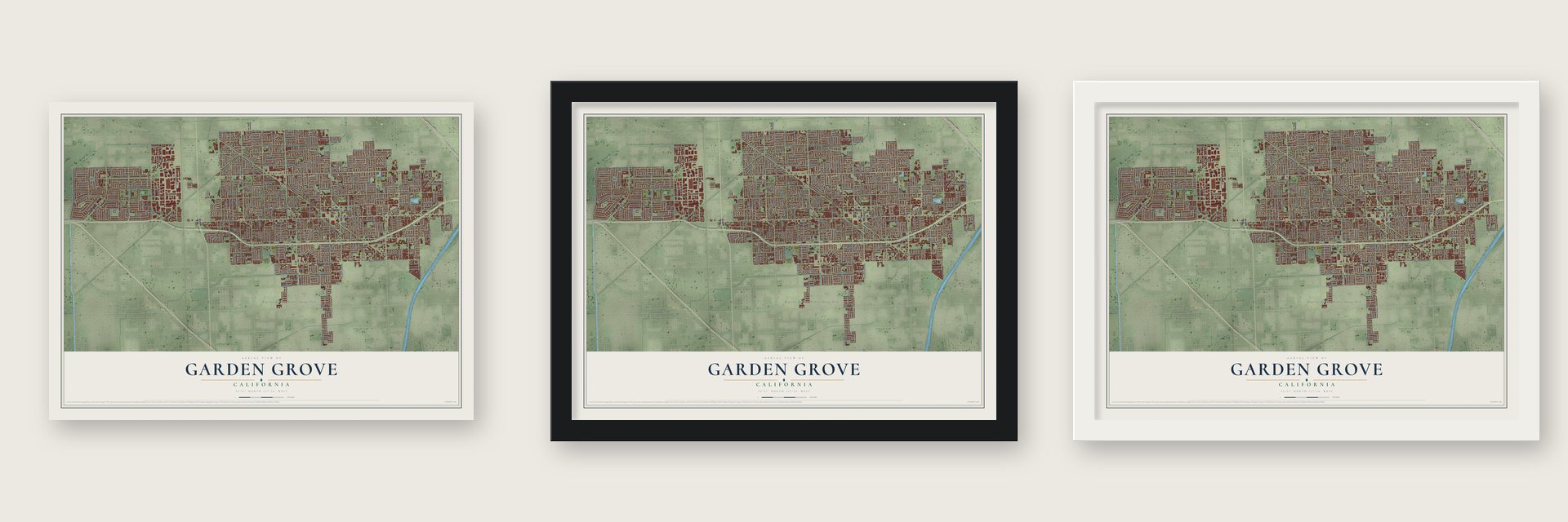
Unframed archival matte, a black wood frame or a white wood frame.
Up close
Geography Worth Displaying
This map was created using accurate cartographic data and authoritative geographic sources, including the U.S. Geological Survey and the Census Bureau. The map brings together terrain, waterways, roads, and building detail. The majority of the streets are labeled, houses are accurately depicted, and the topography is derived from government sources. Combining local data with carefully composed color and shading leads to this beautifully detailed Garden Grove artwork for your wall.
Rather than simply showing street outlines, we’ve included as many of the street names as we could reasonably fit on the map while keeping their names legible. Zoom in on the high resolution preview to see exactly what’s on the map. We truly set out to create a statement piece for anyone who loves Garden Grove. So whether it’s for you, or a gift for someone you love, we hope this map of Garden Grove brings back fond memories.
Read the story behind this map of Garden Grove, California from 2026.

About Garden Grove, California
Garden Grove is a city of 171,949 people in northern Orange County. Alonzo Cook founded it in 1874, and that same year its settlers organized a school district and a Methodist church. For three decades it stayed a quiet farming crossroads, until the Pacific Electric Railroad reached town in 1905. The trains brought tourists first and then new settlers, and the farms around town grew oranges, walnuts, chili peppers and, later, strawberries.
In 1933 the Long Beach earthquake wrecked much of the downtown business district and killed one person at the high school. The town rebuilt, and after World War II new houses spread across the old farm fields. When Garden Grove became a city in 1956, about 44,000 people lived there, and by the late 1950s it was being called the fastest growing city in America.
- Strawberry Festival since 1958The Garden Grove Strawberry Festival started in 1958 to honor the city's farming past. It fills Memorial Day weekend with carnival rides, live music, a parade and the cutting of the world's largest strawberry shortcake, and it draws an estimated 250,000 visitors. For the city's 50th anniversary, Garden Grove painted some of its fire hydrants with a strawberry design.
- The district's first pumping plantA man named Lyon bought fifty acres in Garden Grove known as the old Toomey place. He put in a pumping plant, the first in that district, improved the land and sold it in 1906.
- Orange County's first regional mallOrange County Plaza opened at Chapman and Brookhurst in 1956. After it grew in 1959 it held 60 stores, among them a J. C. Penney, two variety stores and two supermarkets, and it called itself both the first and the largest regional shopping center in the county. Today it is The Promenade.
- Little SeoulKorean Americans began arriving in Garden Grove in the 1970s, in several waves. Their shops and restaurants built Little Seoul, and it became the West Coast's second biggest Korean business district, behind only one other. Korean families later spread to Fullerton and Irvine, but Garden Grove claims the oldest Little Seoul in Orange County.
Find your street
Names on the Garden Grove map
Every name below is printed on this map. Look for your street, your school, the park where you played, or the pond down the road.
Places and landmarks4
- Garden Grove City Hall
- Colonia Manzanilla
- Rancho del Sol Mobile Home Park
- Brookhaven Park
Streets and roads443
- Magnolia Street
- Harbor Boulevard
- Orangewood Avenue
- Acacia Avenue
- Monarch Street
- West Orangewood Avenue
- Bailey Street
- Killarney Avenue
- Barclay Drive
- Emerald Street
- Shelley Drive
- Mar Les West
- Garden Grove Boulevard
- West Garden Grove Boulevard
- West Chapman Avenue
- Lampson Avenue
- Trask Avenue
- Stanford Avenue
- Westminister Boulevard
- Westminster Boulevard
- Katella Avenue
- Brookhurst Street
- Euclid Street
- South Euclid Street
- Gilbert Street
- Dale Avenue
- West Street
- Ward Street
- Belgrave Avenue
- Central Avenue
Show all 443 streets
- Western Avenue
- Anthony Avenue
- Knott Street
- Woodbury Road
- Imperial Avenue
- Ninth Street
- South Ninth Street
- Flower Street
- Valley View Street
- Dewey Drive
- Cerulean Avenue
- Taft Street
- Hazard Avenue
- Lewis Street
- Santa Catalina Avenue
- Haster Street
- South Haster Street
- Springdale Street
- Santa Rita Avenue
- Newhope Street
- Nelson Street
- Vanguard Avenue
- Joyzelle Drive
- Bowen Street
- Trinette Avenue
- Nutwood Street
- Lorna Street
- Park Avenue
- Hope Street
- Amy Avenue
- Newland Street
- Yockey Street
- South Lewis Street
- Clinton Street
- Larson Avenue
- Faye Avenue
- Paloma Avenue
- Buaro Street
- Richmond Avenue
- Saint Mark Street
- Palmwood Drive
- Russell Avenue
- Huntley Avenue
- Kerry Street
- Crosby Avenue
- Robert Lane
- Loraleen Street
- Kathy Lane
- Bixby Avenue
- Royal Palm Boulevard
- Morrie Lane
- Bartlett Street
- Parliament Avenue
- Roxey Drive
- Acacia Parkway
- Jennrich Avenue
- Cypress Street
- Blackmer Street
- Adelle Street
- Donegal Drive
- Bolsa Avenue
- Monroe Street
- Fairview Street
- Palm Street
- Jerry Lane
- Topaz Street
- Galway Street
- Industry Street
- Mays Avenue
- Reva Drive
- Westlake Street
- Manley Street
- Allen Drive
- Sungrove Street
- Skylark Boulevard
- Chase Street
- Candy Lane
- Bowles Avenue
- Pickett Avenue
- Lenore Drive
- Century Boulevard
- Lucille Avenue
- Morningside Drive
- Hazel Avenue
- Banner Drive
- Josephine Street
- Daniel Avenue
- Twintree Lane
- Benton Street
- Oma Place
- North Euclid Street
- Aspenwood Lane
- Kern Avenue
- Woodbury Avenue
- Main Street
- Mac Street
- Bushard Street
- Wasco Road
- Pine Street
- La Grand Avenue
- Dallas Drive
- Wilson Street
- Markon Drive
- Reading Avenue
- Dawson Street
- Adams Street
- Volkwood Street
- Macnab Street
- Norma Lane
- Shannon Avenue
- Haga Street
- Hill Road
- Nina Place
- Walnut Avenue
- Coast Street
- Old Fashion Way
- Gary Street
- Edgewood Lane
- Seneca Drive
- Erin Street
- Aldgate Avenue
- Ranney Avenue
- Glen Cove Drive
- John Avenue
- South Waverly Drive
- Hazel Street
- Purdy Street
- Siemon Street
- Lilly Street
- Stuart Drive
- Cliffwood Avenue
- Keel Avenue
- Groveview Street
- Atlantis Way
- Sail Street
- Salinaz Avenue
- Park Lane
- Emrys Avenue
- Elmwood Street
- Riata Street
- Diane Street
- Brookhurst Way
- Rainbow Street
- Steele Drive
- Dudman Drive
- Dunklee Avenue
- Marchand Avenue
- Gloria Place
- Ditmore Drive
- Edison Way
- Laurel Street
- Eagle Drive
- Bonser Avenue
- Leroy Avenue
- Ora Drive
- Loara Street
- Laurianne Lane
- Deodara Drive
- Beta Avenue
- Meade Street
- Anzio Street
- Cardinal Circle
- Ivanhoe Street
- Fern Street
- Fletcher Drive
- Claussen Street
- 13th Street
- Yoak
- Marty Lane
- Della Lane
- Hewitt Place
- Becca Drive
- 15th Street
- Ascot Drive
- Poplar Street
- Movius Drive
- Corvette Street
- Kedge Avenue
- Melric Avenue
- Jetty Street
- Stern Avenue
- Shapell Street
- Mast Avenue
- Ricky Avenue
- Rugh Street
- Lyndon Street
- Ora Street
- Hunt Avenue
- Libby Lane
- 16th Street
- Doig Drive
- Dolan Street
- Orrey Place
- Beach Boulevard
- Patterson Drive
- Christal Avenue
- Emerson Place
- Santa Barbara Avenue
- Lamplighter Street
- Ludlow Avenue
- Dakota Avenue
- Macmurray Street
- Tunstall Street
- Marietta Avenue
- Blanche Avenue
- Vons Drive
- Blake Street
- Fredrick Drive
- Blue Spruce Avenue
- Amethyst Street
- Lambert Circle
- Patricia Drive
- Marylee Drive
- Geraldine Road
- Kerry Lane
- Macalpine Road
- Yana Drive
- Bestel Avenue
- Seventh Street
- Strathmore Drive
- Scandia Street
- Anabel Avenue
- Choisser Road
- Rockinghorse Road
- Cork Street
- Gail Lane
- Greentree Avenue
- Pearce Street
- Oasis Avenue
- Wild Goose Street
- Lenore Avenue
- Louise Street
- Ranchero Way
- Lake Street
- Eleventh Street
- Wynant Drive
- Barnett Way
- Homeway Drive
- Dungan Lane
- Twintree Avenue
- Merrill Street
- Elmer Lane
- Mallard Drive
- Wutzke Street
- Lemonwood Lane
- Brookside Drive
- Mallard Avenue
- Seacrest Drive
- Meadow Brook Avenue
- Casa Linda Lane
- Malinda Lane
- Allard Avenue
- Yawl Street
- Yorkshire Avenue
- Owen Street
- Ellen Street
- Teal Drive
- Buena Street
- Oakwood Street
- Sherman Avenue
- Halekulani Drive
- Holland Avenue
- Lotus Drive
- Vickers Avenue
- Blackthorn Street
- Anaconda Avenue
- Spinnaker Street
- Onyx Street
- Emerson Avenue
- Hilton Lane
- Wakefield Avenue
- Bixler Circle
- Lynne Drive
- Ballast Avenue
- Janet Street
- Shetland Road
- Palma Vista Avenue
- Davmor Avenue
- Aristocrat Avenue
- Quatro Avenue
- Alwood Avenue
- Downing Street
- Ontario Drive
- Bluejay Lane
- Cellini Avenue
- Clarissa Street
- Bayport Street
- Blossom Avenue
- Jerome Street
- Flamingo Drive
- Village Road
- Perrin Drive
- Roan Road
- Timothy Lane
- Bangor Street
- Gloria Avenue
- Linda Lane
- Safford East
- Beverly Lane
- Brady Way
- Faun Lane
- Mills Road
- Holyoak Lane
- Forbes Avenue
- Meridian Lane
- Glen Street
- Otis Avenue
- Markev Street
- Shady Acre Street
- Barr Lane
- Ohmer Way
- Lincoln Way
- Tibbs Circle
- Dino Circle
- Pearl Street
- Davit Avenue
- Sirius Avenue
- Pala Drive
- Pratt Street
- Law Drive
- Laurelton Avenue
- Starboard Street
- College Avenue
- Linnell Avenue
- Samuel Drive
- Woodland Lane
- Catherine Avenue
- Stephanie Lane
- Sandra Place
- Louise Lane
- Hopi Road
- Traylor Way
- La Vaughn Drive
- Spar Street
- Gamble Avenue
- Roselee Drive
- Mansor Avenue
- Morningside Avenue
- Citruswood Avenue
- Hackamore Road
- Woodward Lane
- Bettes Place
- Erin Road
- Holly Drive
- Harrington Street
- Melba Drive
- Biscayne Boulevard
- Danvers Drive
- Sorrell Drive
- Valencia Way
- Cannery Street
- Westcliff Drive
- Alamitos Way
- Boyd Avenue
- Roberta Place
- Tracy Avenue
- Bonnie Drive
- Costco Street
- Larkin Drive
- Tours Avenue
- Lee Lane
- Shady Lane
- Tudor Lane
- Sutter Street
- Varna Street
- Vener Drive
- Hale Avenue
- Carl Lane
- Gill Drive
- Safford Street
- Deanann Place
- Macduff Street
- Maureen Drive
- Pleasant Street
- Dorothy Avenue
- Fallingleaf Street
- Willowood Avenue
- Swallow Lane
- Simmons Avenue
- Lakeside Drive South
- Edieth Drive
- Oertly Drive
- Nieta Drive
- Ballard Drive
- Debbie Lane
- Mahalo Way
- Nichols Drive
- Marlene Avenue
- Healey Drive
- Lariat Avenue
- Laux Avenue
- Ramona Drive
- Hoggan Avenue
- Leda Lane
- Hester Place
- Acacia Street
- El Prado Avenue
- Carlotta Street
- Jola Avenue
- Orchard Place
- Shirley Street
- James Avenue
- Bently Avenue
- Frieda Place
- Larson
- Laurel
- Palika Place
- Biola Lane
- Arbor
- Betty Lane
- Leda
- Lola Lane
- Iris Drive
Names are listed as they appear on the printed map. Zoom into the product photos to find them.
The art of mapping a place
How This Map Was Made
Real places. Remarkable detail. Discover the layers that turn geographic data into a map of home.

The view from above
Aerial imagery reveals the character of the land: woodland, open fields, and the patterns of a place.

The shape of the land
Elevation data brings hills, valleys, and subtle changes in the landscape into view.

The details of home
Roads, waterways, and building footprints come together to make the map feel unmistakably local.

Geography becomes art
Considered color, shading, and typography bring the layers together in a map made for your wall.


Process illustrated with Mendon, Massachusetts. Aerial imagery: USDA NAIP. Terrain: USGS 3D Elevation Program. Map details and finished artwork: KNOWOL.
The Details
About This Print
Choose an archival matte print, or a black or white Ayous wood frame. The archival matte print is unframed.
Select your size and finish above to see the matching product image and price.
Materials & Craftsmanship
A contemporary map with the character of a classic atlas, printed on archival matte paper. Optional frames are made from Ayous wood.
Your printed map does not include the watermark shown in the full-map preview.
Shipping & Delivery
Free shipping within the United States. Every print is made to order in the USA.
Buying a gift? Add a note in your cart and we'll include it. We never put prices in the package.
Prints ship within 2 to 3 business days. Allow 7 to 10 days total from ordering for delivery. Timing may vary during holidays or periods of high order volume.
Read our shipping policy.
Returns and damaged prints
Each print is made to order. Change-of-mind refunds are not available after production.
If your print arrives damaged, misprinted or incorrect, contact support@knowol.com within 30 days of receiving it. Include your order number, photos and a description of the issue.
Read our full refund and replacement policy. For questions about your order, email support@knowol.com.
Find your town
Looking for another city?
Find a map of home in our California collection, or any town in the country.
Nearby
Maps of towns near Garden Grove
Know someone from one of these towns? Their map makes a great gift.
 Stanton
, California
From $39.99See the map
 Westminster
, California
From $39.99See the map
 Midway City
, California
From $39.99See the map
More maps nearby: Fountain Valley, Cypress, Santa Ana, Orange and Los Alamitos.