
Search for another town
Free U.S. delivery 7 to 10 days after you order
Santa Ana, California Map Art
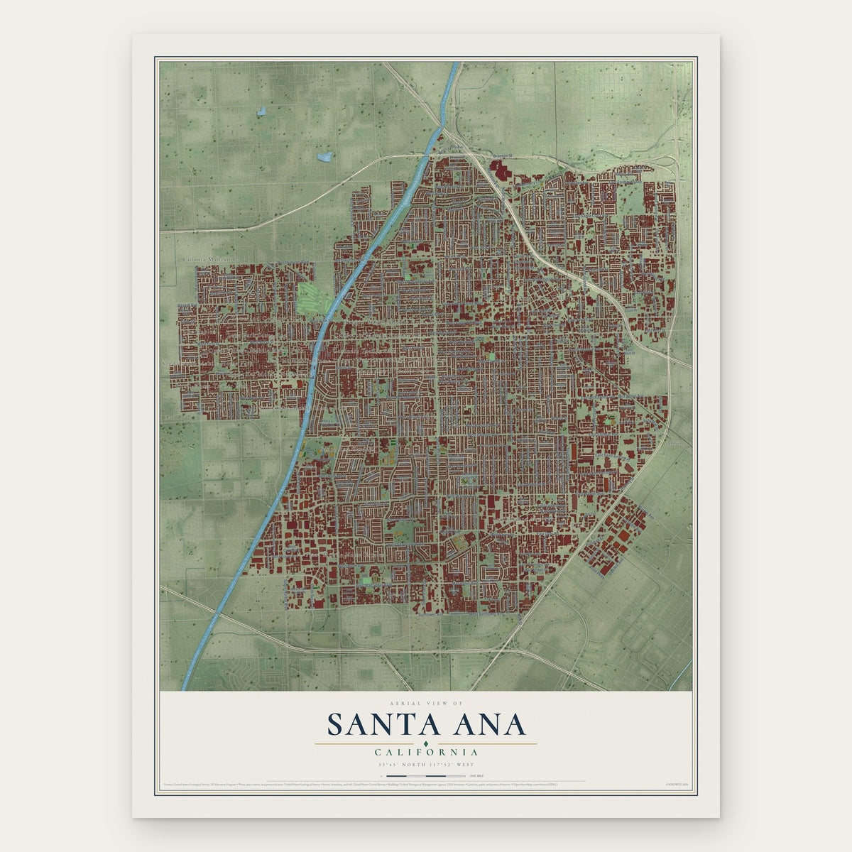
Building by building, with labeled streets and shaded relief.
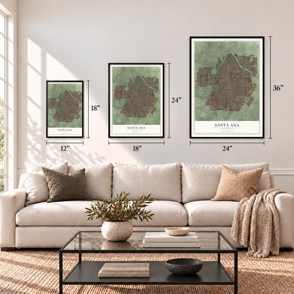
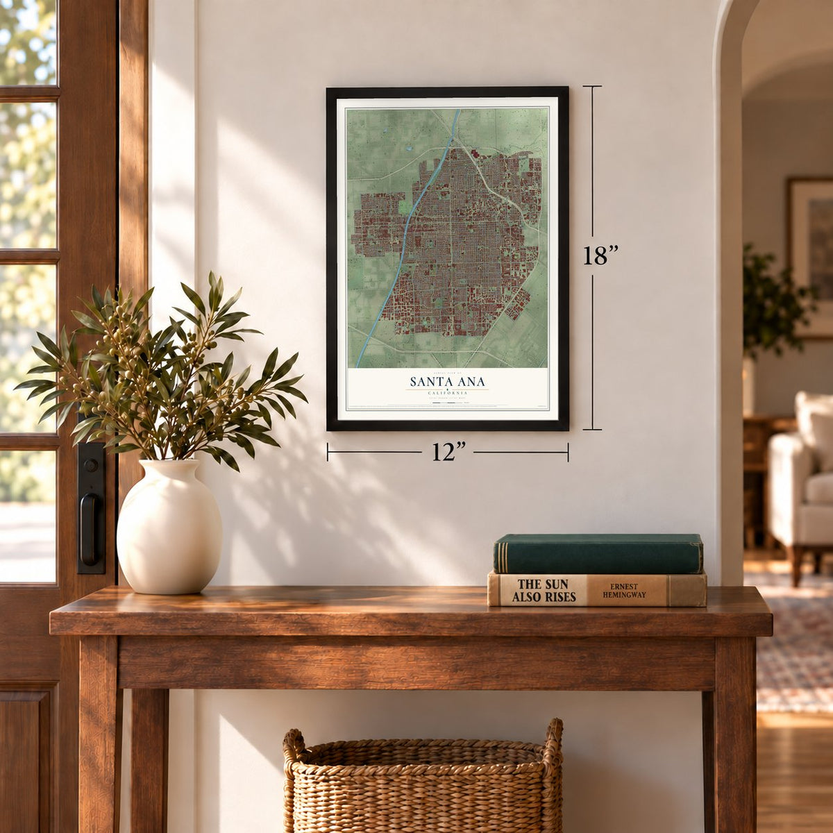
12" x 18" Archival Matte Print
A Map of Home. A Work of Art.
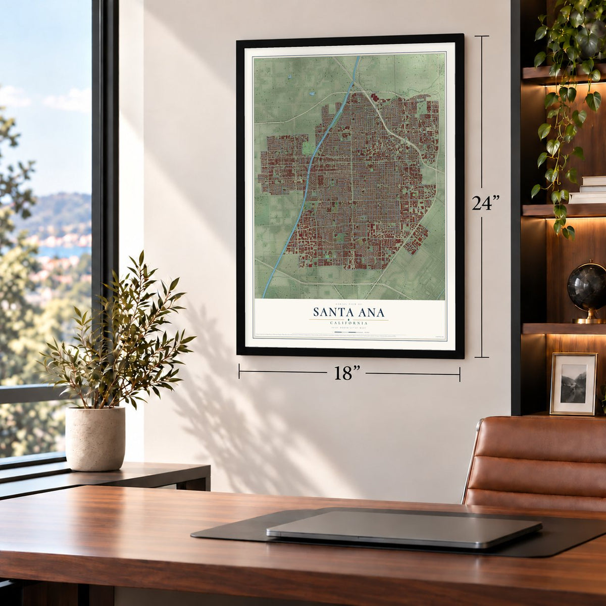
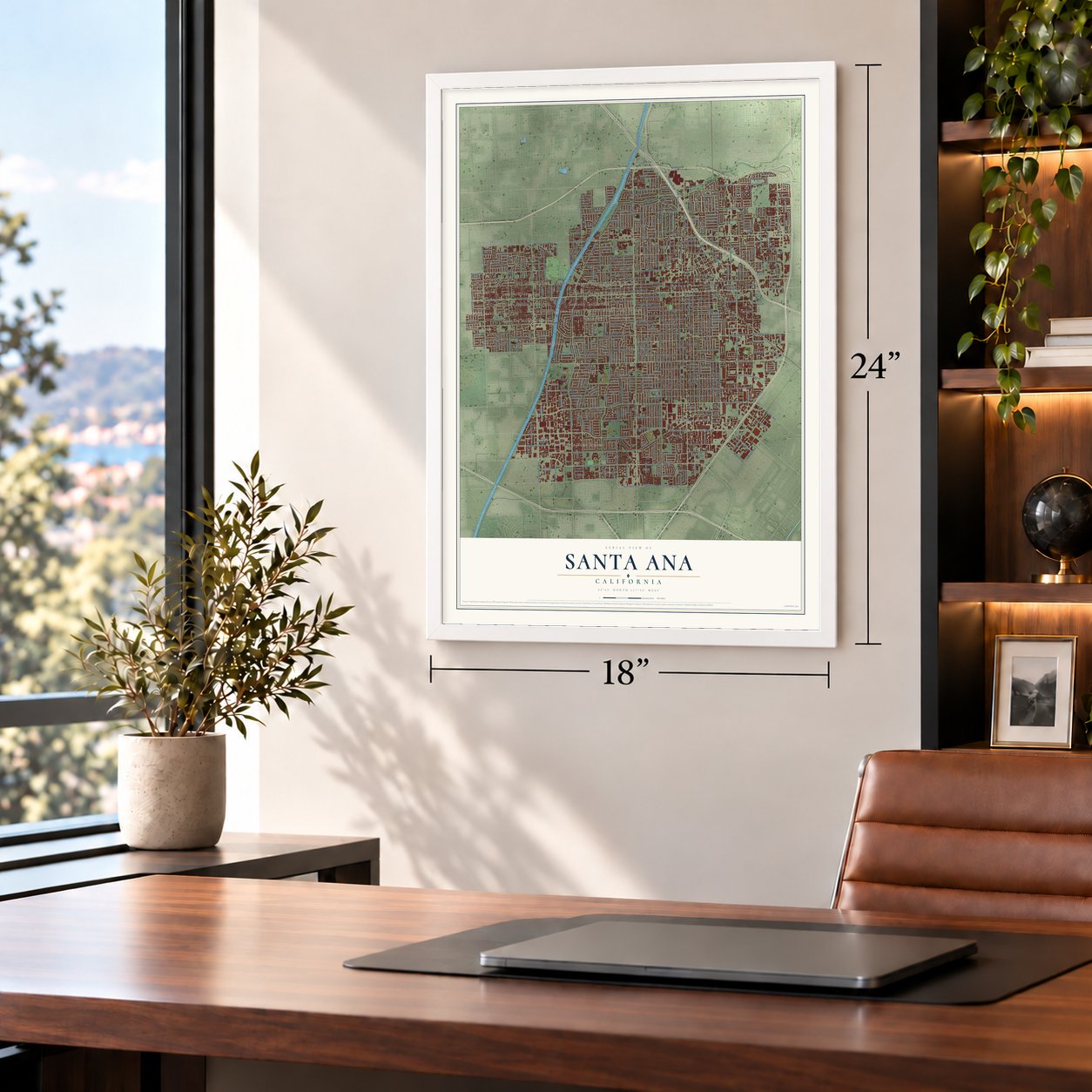
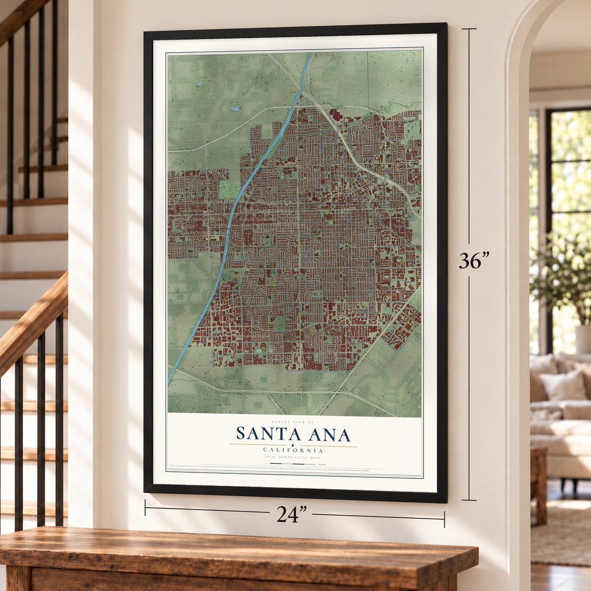
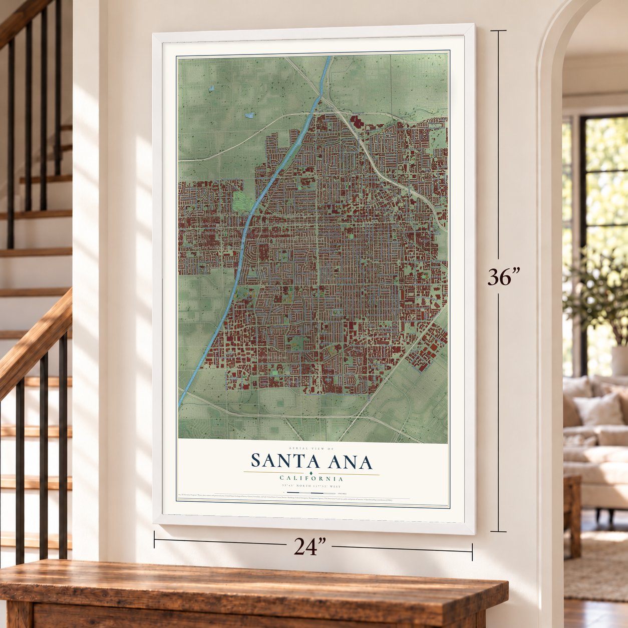
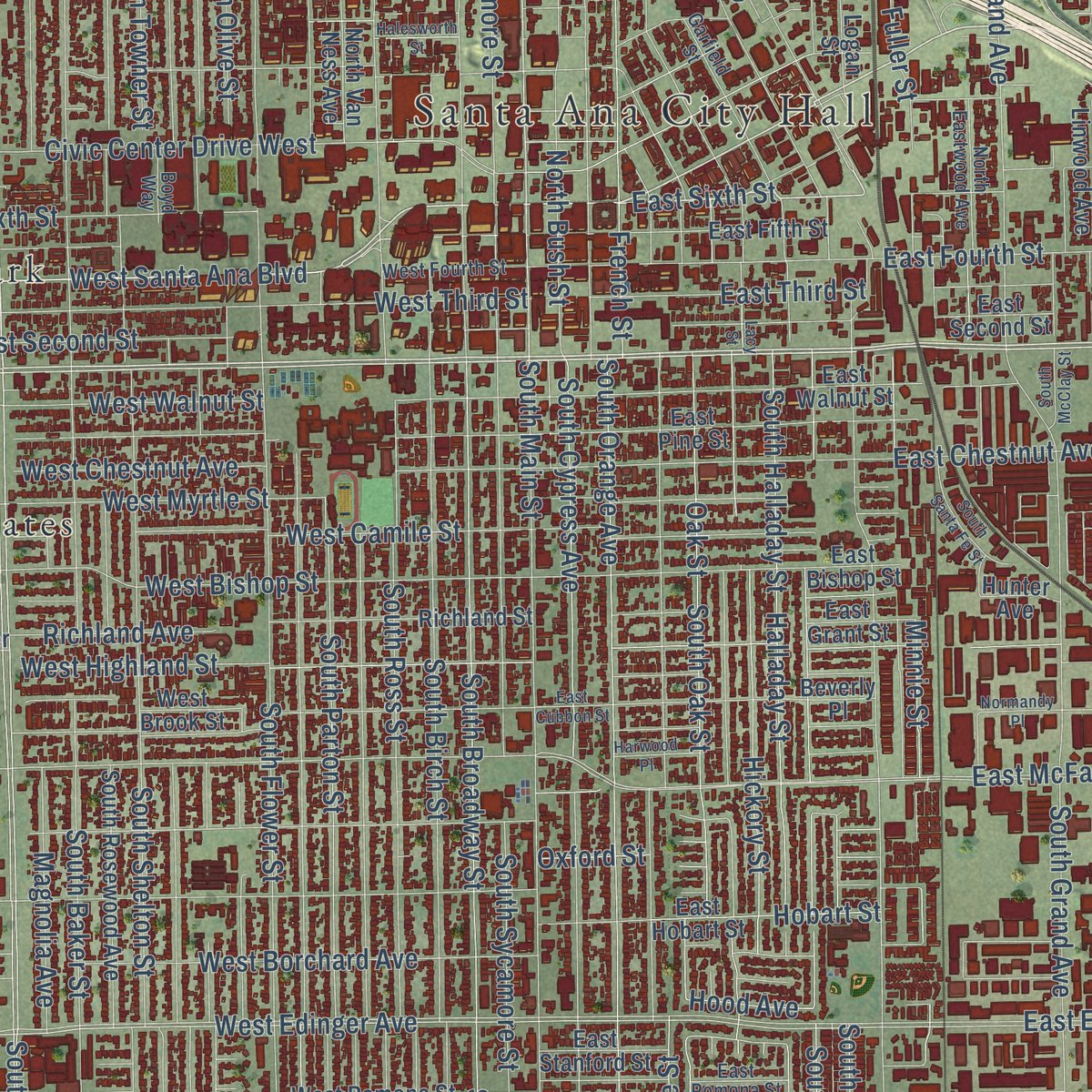
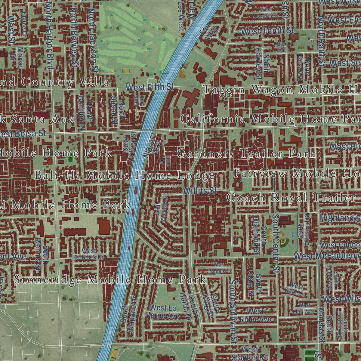
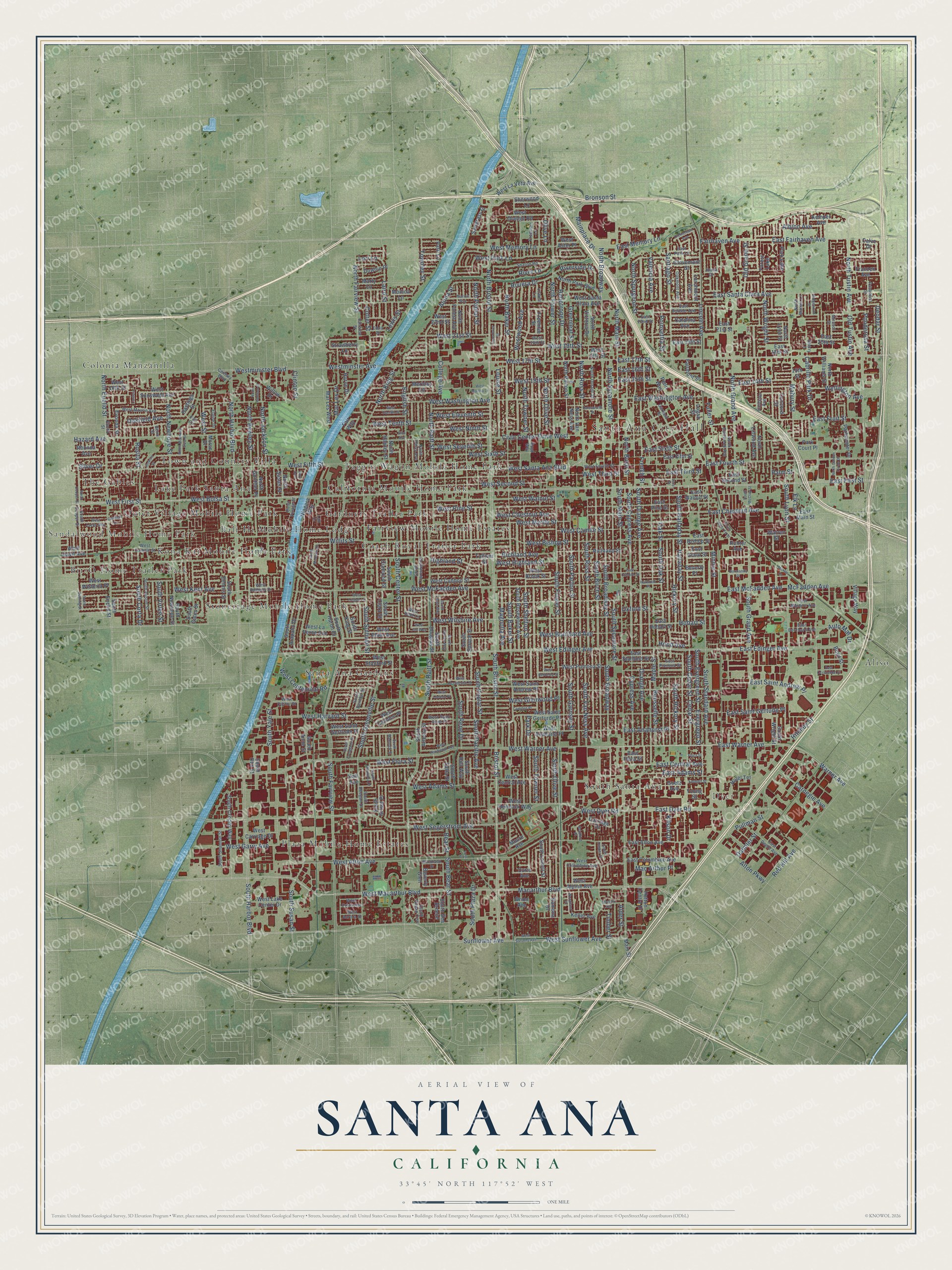
Explore Santa Ana, California from a whole new perspective. Created using aerial imagery and detailed geographic data, this map captures Santa Ana building by building, with labeled streets, familiar landmarks, and shaded topographical relief that highlights the natural contours of the landscape.
Combining modern data with the timeless character of a vintage atlas, this map is just as interesting up close as it is beautiful on the wall. Whether you grew up in Santa Ana, spent memorable years there, or call it home today, this unique map is a great way to celebrate a place that means something to you. Zoom in on the preview to look for your street, and then order a print to put your memories on the wall.
Three ways to hang it
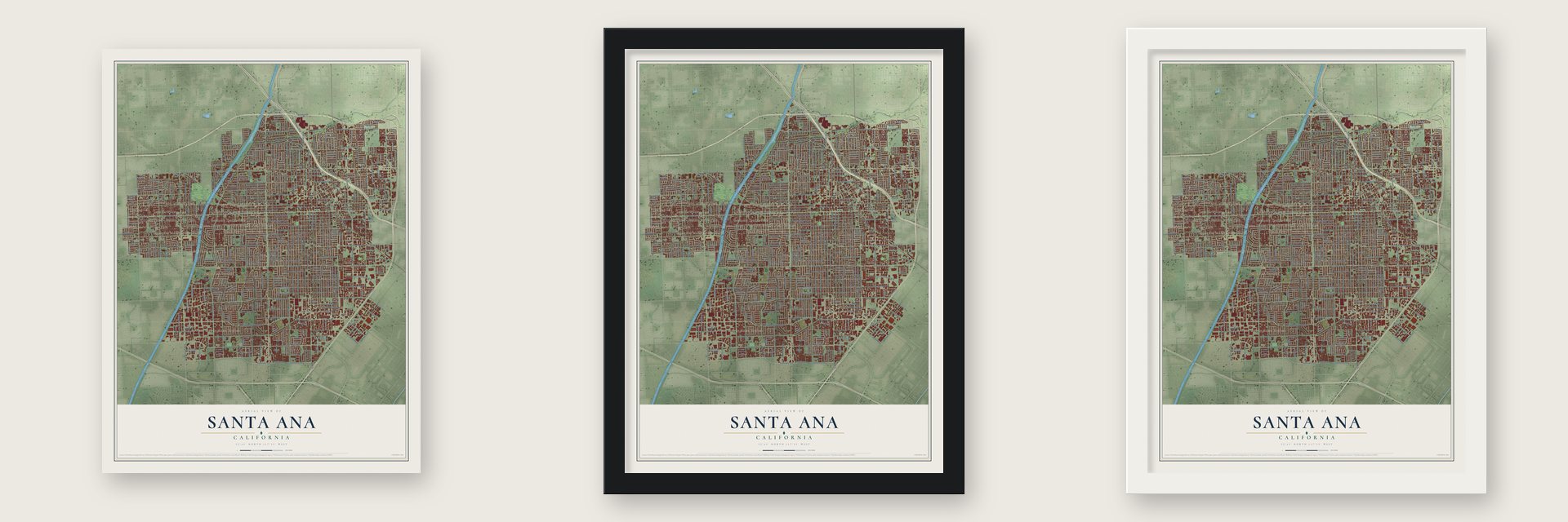
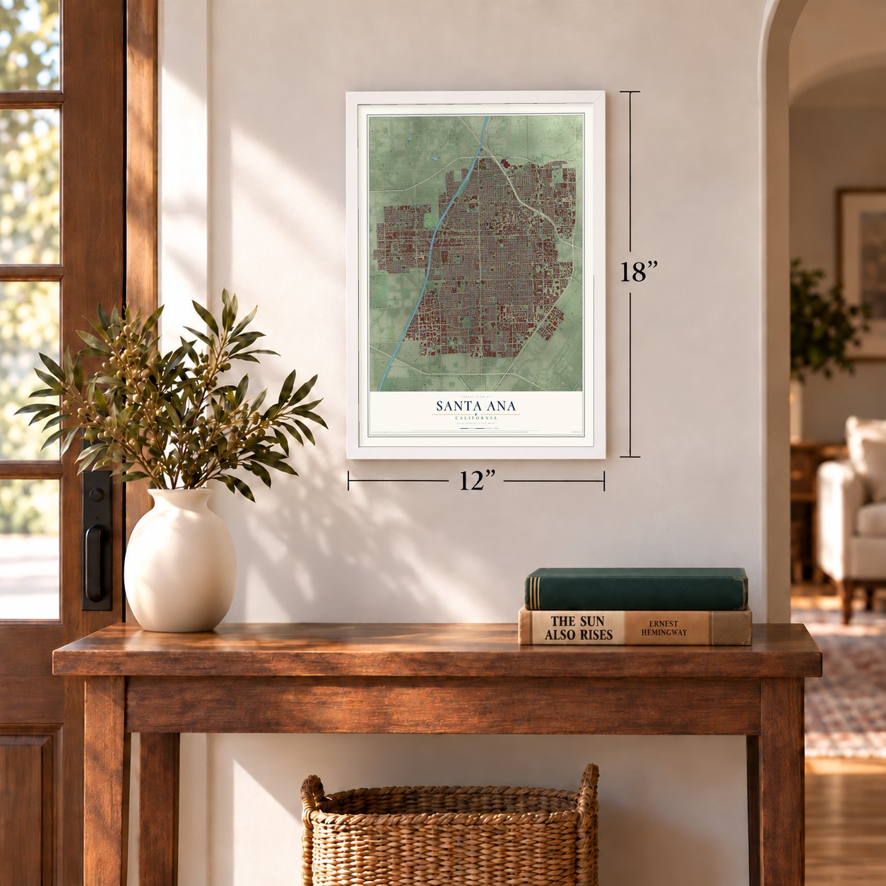
Unframed archival matte, a black wood frame or a white wood frame.
Up close
Geography Worth Displaying
This map was created using accurate cartographic data and authoritative geographic sources, including the U.S. Geological Survey and the Census Bureau. The map brings together terrain, waterways, roads, and building detail. The majority of the streets are labeled, houses are accurately depicted, and the topography is derived from government sources. Combining local data with carefully composed color and shading leads to this beautifully detailed Santa Ana artwork for your wall.
Rather than simply showing street outlines, we’ve included as many of the street names as we could reasonably fit on the map while keeping their names legible. Zoom in on the high resolution preview to see exactly what’s on the map. We truly set out to create a statement piece for anyone who loves Santa Ana. So whether it’s for you, or a gift for someone you love, we hope this map of Santa Ana brings back fond memories.
Read the story behind this map of Santa Ana, California from 2026.
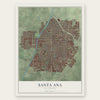
Find your street
Names on the Santa Ana map
Every name below is printed on this map. Look for your street, your school, the park where you played, or the pond down the road.
Places and landmarks23
- Santa Ana City Hall
- Dyer
- Sandalwood Mobile Home Park
- Plaza Mobile Home Estates
- Gardners Trailer Park
- Aliso
- Colonia Manzanilla
- Santa Ana Gardens
- Lake Park Santa Ana
- South Santa Ana
- Kona Kai Mobile Home Park
- Coach Royal Trailer Park
Show all 23 places
- Stoneridge Mobile Home Park
- Town and Country Villa
- Bit-O-Home Trailer Park
- The Gables
- California Mobile Home Park
- Quiet Village Mobile Home Park
- Bali-Hi Mobile Home Lodge
- Taggin Wagon Mobile Home Park
- Fairview Mobile Home Estates
- Park Lake
- Forest Lake
Streets and roads431
- East First Street
- West Santa Ana Boulevard
- Santiago Street
- East Sixth Street
- West First Street
- North Bristol Street
- North Main Street
- West Edinger Avenue
- West Fifth Street
- West Segerstrom Avenue
- West Dyer Road
- East Dyer Road
- South Susan Street
- West Memory Lane
- Riviera Drive
- South Corta Drive
- South Main Street
- East Edinger Avenue
- South Parton Street
- Mainplace Drive
- West Flora Street
- Bristol Street
- Macarthur Boulevard
- South Bristol Street
- South Fairview Street
- West Macarthur Boulevard
- West Warner Avenue
- West 17th Street
- Sunflower Avenue
- West Sunflower Avenue
Show all 431 streets
- West McFadden Avenue
- East 17th Street
- South Harbor Boulevard
- East Warner Avenue
- West Bolsa Street
- McFadden Avenue
- South Flower Street
- South Raitt Street
- South Birch Street
- Halladay Street
- East Fourth Street
- Orange Avenue
- South Grand Avenue
- South Orange Avenue
- South Garnsey Street
- South Baker Street
- West Alton Avenue
- South Ross Street
- Maple Street
- South Center Street
- Oak Street
- South Oak Street
- South Shelton Street
- South Pacific Avenue
- North Fairview Street
- West Washington Avenue
- North Flower Street
- Cypress Avenue
- South Broadway
- South Broadway Street
- South Sycamore Street
- South Greenville Street
- South Standard Avenue
- Civic Center Drive West
- West Borchard Avenue
- South Halladay Street
- West Third Street
- North Grand Avenue
- North Harbor Boulevard
- East Saint Andrew Place
- East Santa Clara Avenue
- West Wilshire Avenue
- North Broadway
- South Towner Street
- South Lyon Street
- North Tustin Avenue
- South Olive Street
- South Rene Drive
- West Tenth Street
- South Van Ness Avenue
- Cedar Street
- South Cedar Street
- West Highland Street
- Hickory Street
- North Baker Street
- South Hickory Street
- North Spurgeon Street
- Kilson Drive
- West Second Street
- North Bush Street
- Hazard Avenue
- North Ross Street
- South Sullivan Street
- West Walnut Street
- French Street
- West Glenwood Place
- West Sixth Street
- West Myrtle Street
- Ritchey Street
- East Chestnut Avenue
- North Wright Street
- Westwood Avenue
- Westminister Boulevard
- West Harvard Street
- West Pine Street
- South Poplar Street
- Cabrillo Park Drive
- West 15th Street
- East McFadden Avenue
- East Saint Gertude Place
- Poinsettia Street
- West Chestnut Avenue
- Lincoln Avenue
- Evergreen Street
- South Evergreen Street
- Warner Avenue
- Mabury Street
- South Bear Street
- West Kent Avenue
- West 19th Street
- Park Drive
- North Towner Street
- West Camile Street
- Highland Street
- Pullman Street
- Rousselle Street
- West Centennial Road
- West Seventh Street
- East Washington Avenue
- South Yale Street
- West Garry Avenue
- East Fruit Street
- West Adams Street
- West Bishop Street
- North Sycamore Street
- West Eleventh Street
- North Newhope Street
- North Euclid Street
- Red Hill Avenue
- English Street
- West Ninth Street
- North Olive Street
- Louise Street
- West Park Lane
- Alona Street
- Richland Avenue
- North Jackson Street
- East Third Street
- North Bewley Street
- East Fairhaven Avenue
- West 21st Street
- East 14th Street
- Heliotrope Drive
- Wellington Avenue
- Westminster Avenue
- River Lane
- East 15th Street
- South Cypress Avenue
- Magnolia Avenue
- North Raitt Street
- Valencia Avenue
- Minnie Street
- Laird Street
- Hobart Street
- Ponderosa Street
- East Central Avenue
- Deodar Street
- East Adams Street
- East Anahurst Place
- Cotter Street
- Willits Street
- Auto Mall Drive
- North King Street
- Old Tustin Avenue
- Bear Street
- Riverside Drive
- East Memory Lane
- Silver Drive
- Mar Les Drive
- Carnegie Avenue
- North Poplar Street
- Greenleaf Street
- South Plaza Drive
- Oakfield Avenue
- Olive Lane
- East 16th Street
- Fairhaven Avenue
- Old Grand Street
- Mac Arthur Place
- College Avenue
- Lewis Street
- South Virlee Street
- Townley Street
- Oxford Street
- West Street
- Daimler Street
- Alton Parkway
- Albion Avenue
- Rosita Street
- Clinton Street
- Bronson Street
- Timber Street
- Hood Avenue
- Elk Lane
- Fuller Street
- Alder Street
- Lori Lane
- Palm Street
- West La Veta Avenue
- Hastings Street
- West Sunswept Avenue
- North Linwood Avenue
- East Stanford Street
- West Davit Avenue
- Patti Lane
- West Cubbon Street
- West Saint Andrew Place
- South Lowell Street
- West Central Avenue
- South Diamond Street
- South Rosewood Avenue
- West Anahurst Place
- West Santa Clara Avenue
- South Spruce Street
- West Pomona Street
- West Camden Place
- Ramona Drive
- West Saint Gerturde Place
- West Wisteria Place
- West Elder Avenue
- South Douglas Street
- West Carriage Drive
- South Newhope Street
- Catalina Avenue
- South Euclid Street
- East 20th Street
- South Rita Way
- East Walnut Street
- East Columbine Avenue
- South Huron Drive
- Hutton Centre Drive
- North Lyon Street
- South Artesia Street
- West Brook Street
- South Arapaho Drive
- South Croddy Way
- Freeman Street
- East Pine Street
- West Hemlock Way
- North Forest Avenue
- East 21st Street
- East Bishop Street
- Grovemont Street
- South Griset Place
- West 18th Street
- East Second Street
- North Parton Street
- West La Verne Avenue
- East Fifth Street
- South King Street
- West Saint Gertrude Place
- East Alton Avenue
- West 16th Street
- East 19th Street
- Concord Street
- West Lake Center Drive
- West Stanford Street
- South Salta Street
- Richland Street
- Beverly Place
- Goetz Avenue
- South Wright Street
- Franzen Avenue
- North Park Boulevard
- South Gates Street
- North Williams Street
- Larchmont Avenue
- East Hobart Street
- Keller Avenue
- North Susan Street
- East 18th Street
- Hotel Terrace
- South Anne Street
- East Grant Street
- North Van Ness Avenue
- Curie Avenue
- Monica Lane
- South Clara Street
- West Alpine Avenue
- West Orange Road
- North Victoria Drive
- Meriday Lane
- Penn Way
- West 22nd Street
- Hunter Avenue
- Strawberry Lane
- North Hawley Street
- Parkcenter Drive
- Orion Avenue
- South Dennis Street
- Mar Les West
- East Flora Street
- Logan Street
- Evonda Street
- Downie Place
- North Gunther Place
- Marty Lane
- Sawgrass Drive
- Kemper Avenue
- Fairmont Street
- Carriage Drive
- Niagara Way
- Village Way
- Huron Drive
- Warren Street
- Boyd Street
- South Sea Breeze
- East Main Street
- Sherwood Lane
- Park Court Place
- Rhonda Avenue
- Moore Avenue
- Tolliver Street
- Beverly Glen
- West Aster Place
- Main Street
- South Otis Street
- Fair Way
- Willow Drive
- Young Street
- 15th Street
- Morse Drive
- Calvo Drive
- Hall Avenue
- West Fourth Street
- West Camille Street
- South Townsend Street
- North Eastwood Avenue
- East Pomona Street
- East Wilshire Avenue
- South Shannon Street
- Sharon Road
- East Buffalo Avenue
- West Columbine Avenue
- West Saint Anne Place
- Garfield Street
- East Borchard Avenue
- Fairview Street
- Eastside Avenue
- North Daisy Avenue
- West Dahl Lane
- West Roberts Drive
- Euclid Street
- West Castor Street
- South Deegan Drive
- Lowell Lane
- East Deere Avenue
- West Maurie Avenue
- South Cooper Street
- Joana Drive
- Berni Street
- Oakmont Avenue
- West 20th Street
- North Mantle Lane
- Mirasol Street
- South Austin Street
- East Park Lane
- North Durant Street
- South Bamdal Street
- Edna Drive
- Sherry Lane
- Freeman Lane
- Pasadena Street
- Elaine Drive
- South Ocean Crst
- West Aurora Street
- Quiet Village Street
- West Orion Avenue
- Fay Circle
- Century Boulevard
- East 22nd Street
- Boyd Way
- West Stevens Avenue
- West Berkeley Street
- South Doreen Way
- West Occidental Street
- Woodland Place
- West Lingan Lane
- West Pendleton Avenue
- West Twelfth Street
- East Occidental Street
- South Linda Way
- South Mohawk Drive
- North Mountain View Street
- West Martha Lane
- South Santa Fe Street
- South Manitoba Drive
- South Everglade Street
- South Timber Street
- Normandy Place
- South Deming Street
- North Golden Circle Drive
- South Maddock Street
- West Carlton Place
- North Gunther Street
- Marion Way
- Clemensen Avenue
- West Lucky Way
- Greenbrier Street
- Harwood Place
- North Cooper Street
- Bradford Place
- Camden Place
- Flora Street
- Mantle Lane
- Ridgewood Street
- Cantera
- West Jan Way
- Murphy Avenue
- Halesworth Street
- Blackhawk Drive
- South McClay Street
- Emmett Street
- East Cubbon Street
- Lido Drive
- Canfield Lane
- Lacy Street
- Jenkins Street
- Alco Avenue
- Amy Cmn
- Fore Street
Names are listed as they appear on the printed map. Zoom into the product photos to find them.
About Santa Ana, California
Santa Ana is a city of 310,227 people and the county seat of Orange County, on the Santa Ana River. After the Portolá expedition of 1769, Friar Junípero Serra named the valley Vallejo de Santa Ana, for Saint Anne. In 1810 the Spanish governor gave José Antonio Yorba, a sergeant in the Spanish army, a huge tract he called Rancho Santiago de Santa Ana. It was the only Spanish land grant in what is now Orange County.
After the American conquest, the rancho went to the Sepúlveda family, who later lost their claim. In 1869 William H. Spurgeon, a Kentuckian, bought land from Yorba's descendants and founded the modern town. In 1877 Santa Ana offered free right of way, a depot site and $10,000 so the Southern Pacific branch line would end here and not in Tustin. Santa Ana incorporated in 1886 with 2000 residents, and in 1889 it became the seat of the new Orange County.
“Built in 1900 of Arizona red sandstone, this is the oldest existing county courthouse in Southern California.”
- Glenn L. Martin's first companyAviation pioneer Glenn L. Martin started his first aircraft company in Santa Ana in 1912. It merged with the Wright Company in 1916. Martin later founded a second company in Cleveland, and it eventually joined with Lockheed to become Lockheed Martin.
- Interurban trains from 1905By 1905 the Los Angeles Interurban Railway, which came before the Pacific Electric, ran from Los Angeles to Santa Ana along Fourth Street downtown. The Pacific Electric Santa Ana Line kept running until 1958. Its Sub-Station No. 14 joined the National Register in 1983.
- Santa Ana Army Air BaseDuring World War II, the Army Air Forces trained at the Santa Ana Army Air Base. Many veterans came back after the war to raise their families here, and the city and the rest of Orange County kept growing.
- A mayor chosen by votersSanta Ana became a charter city on November 11, 1952. Until 1988 the mayor was picked from among the council members. That November, voters changed the charter so they could elect the mayor themselves. Miguel A. Pulido became the first mayor elected directly by the voters and the first of Latino descent.
Keep exploring California
Santa Ana is one of 1,990 California towns we've mapped. Every dot on the map is a print of its own.
The search covers every state, California first.
Near Santa Ana
Order 2 or more town maps and save 10%. Shown in the size and finish you picked above, so they hang as a set.
- Orange 12" x 18" / Archival Matte Print $39.99
- Tustin 12" x 18" / Archival Matte Print $39.99
- Fountain Valley 12" x 18" / Archival Matte Print $39.99
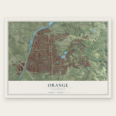
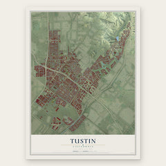

More maps nearby: Costa Mesa, Garden Grove, North Tustin, Midway City and El Modena.
The art of mapping a place
How This Map Was Made
Real places. Remarkable detail. Discover the layers that turn geographic data into a map of home.

The view from above
Aerial imagery reveals the character of the land: woodland, open fields, and the patterns of a place.

The shape of the land
Elevation data brings hills, valleys, and subtle changes in the landscape into view.

The details of home
Roads, waterways, and building footprints come together to make the map feel unmistakably local.

Geography becomes art
Considered color, shading, and typography bring the layers together in a map made for your wall.


Process illustrated with Mendon, Massachusetts. Aerial imagery: USDA NAIP. Terrain: USGS 3D Elevation Program. Map details and finished artwork: KNOWOL.
The Details
About This Print
Choose an archival matte print, or a black or white Ayous wood frame. The archival matte print is unframed.
Select your size and finish above to see the matching product image and price.
Materials & Craftsmanship
A contemporary map with the character of a classic atlas, printed on archival matte paper. Optional frames are made from Ayous wood.
Your printed map does not include the watermark shown in the full-map preview.
Shipping & Delivery
Free shipping within the United States. Every print is made to order in the USA.
Buying a gift? Add a note in your cart and we'll include it. We never put prices in the package.
Prints ship within 2 to 3 business days. Allow 7 to 10 days total from ordering for delivery. Timing may vary during holidays or periods of high order volume.
Read our shipping policy.
Returns and damaged prints
Each print is made to order. Change-of-mind refunds are not available after production.
If your print arrives damaged, misprinted or incorrect, contact support@knowol.com within 30 days of receiving it. Include your order number, photos and a description of the issue.
Read our full refund and replacement policy. For questions about your order, email support@knowol.com.