
Search for another town
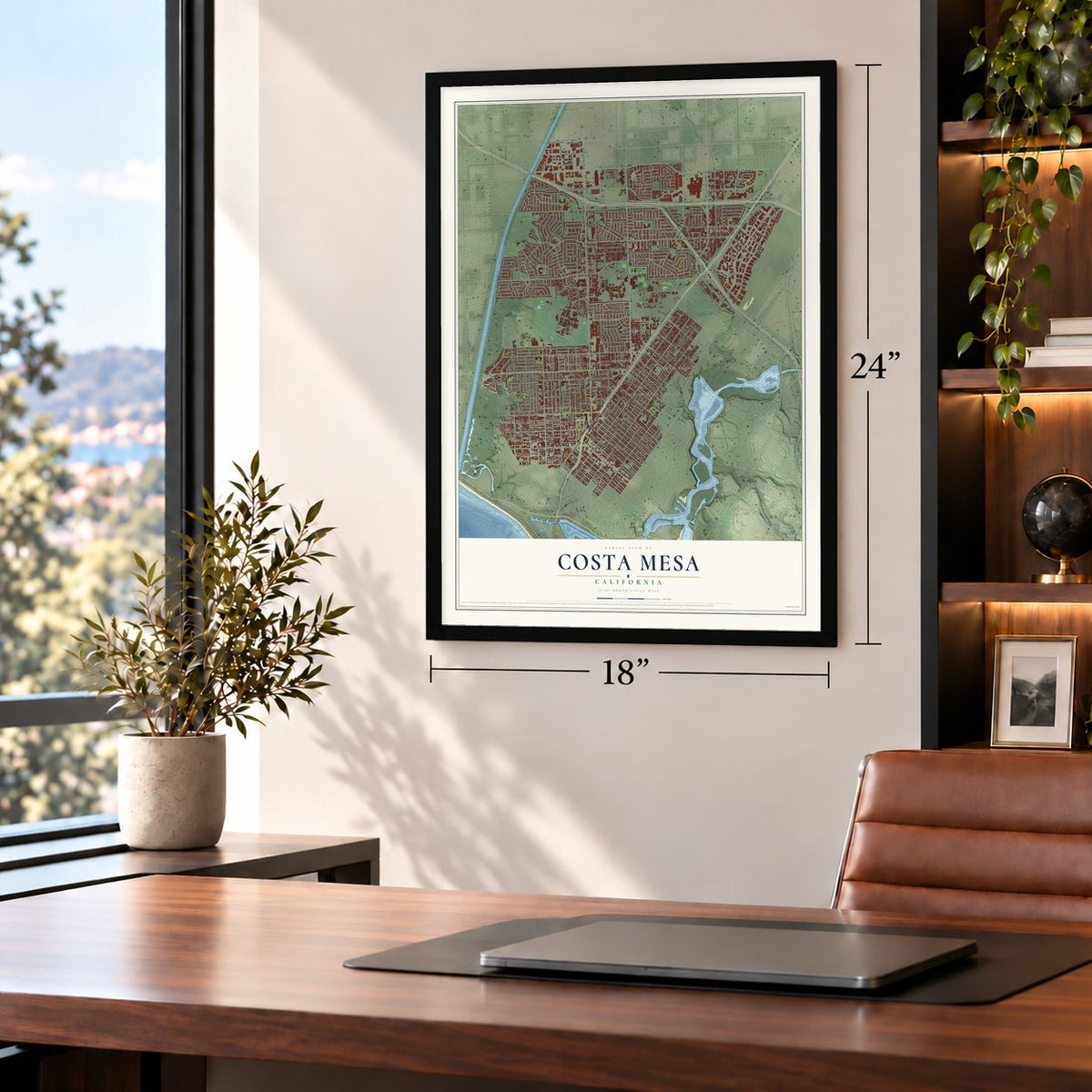
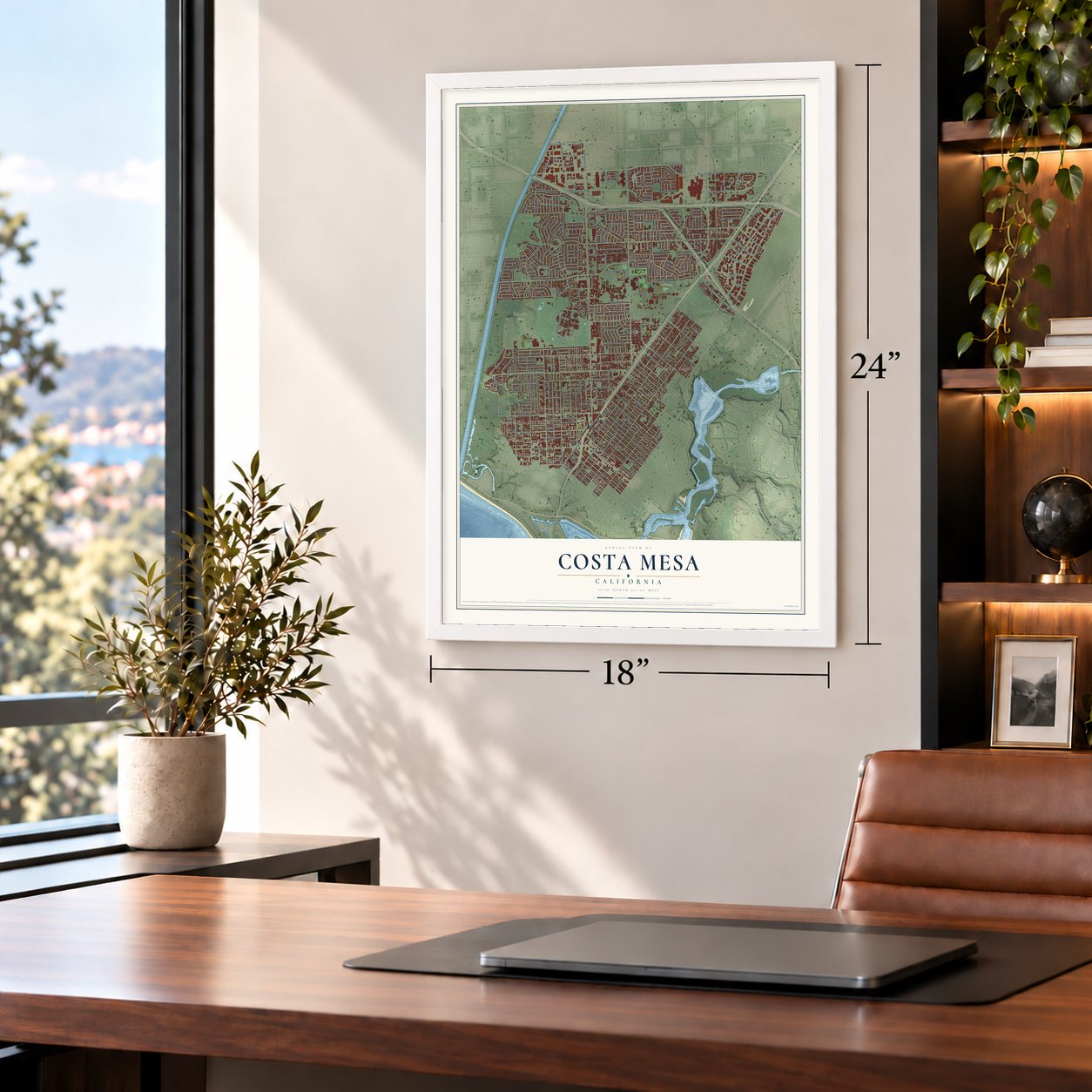
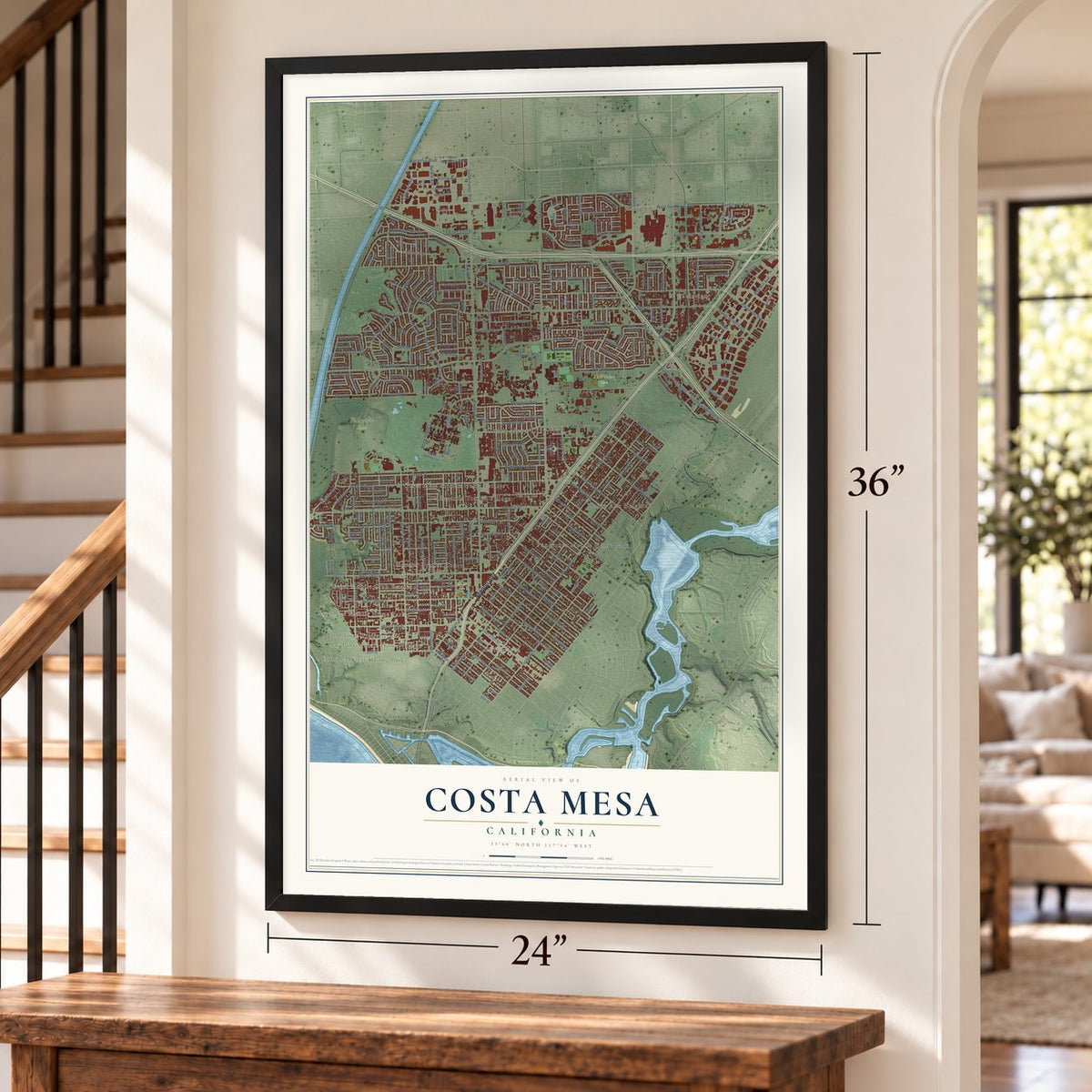
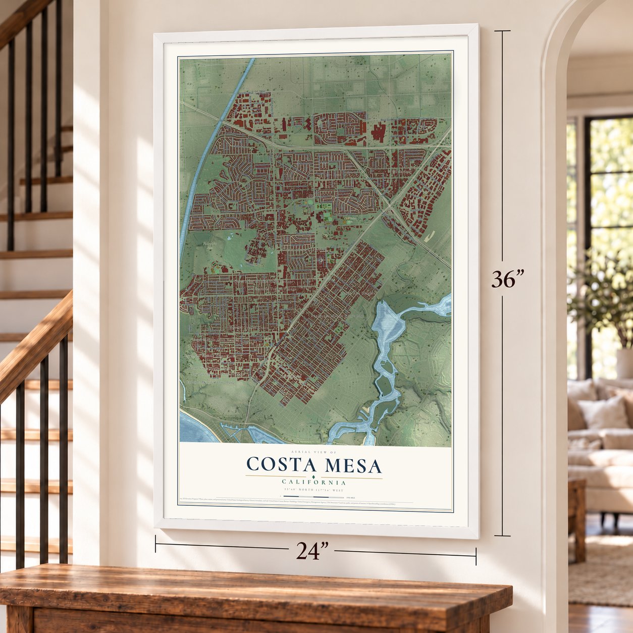
Free U.S. delivery 7 to 10 days after you order
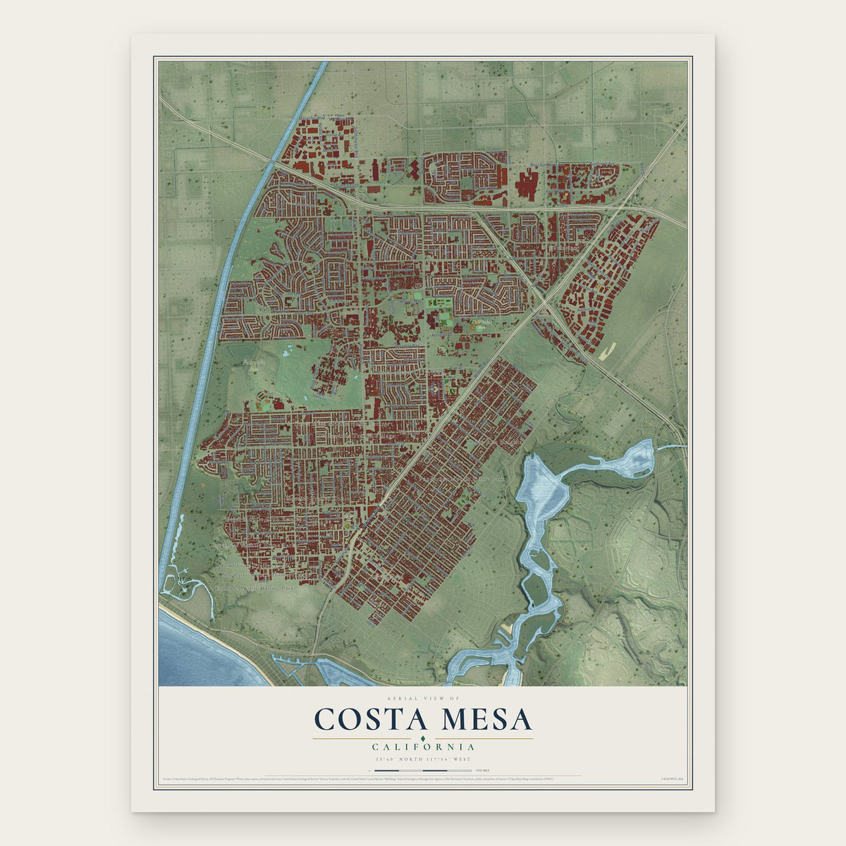
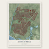
Costa Mesa, California Map Art
Building by building, with labeled streets and shaded relief.
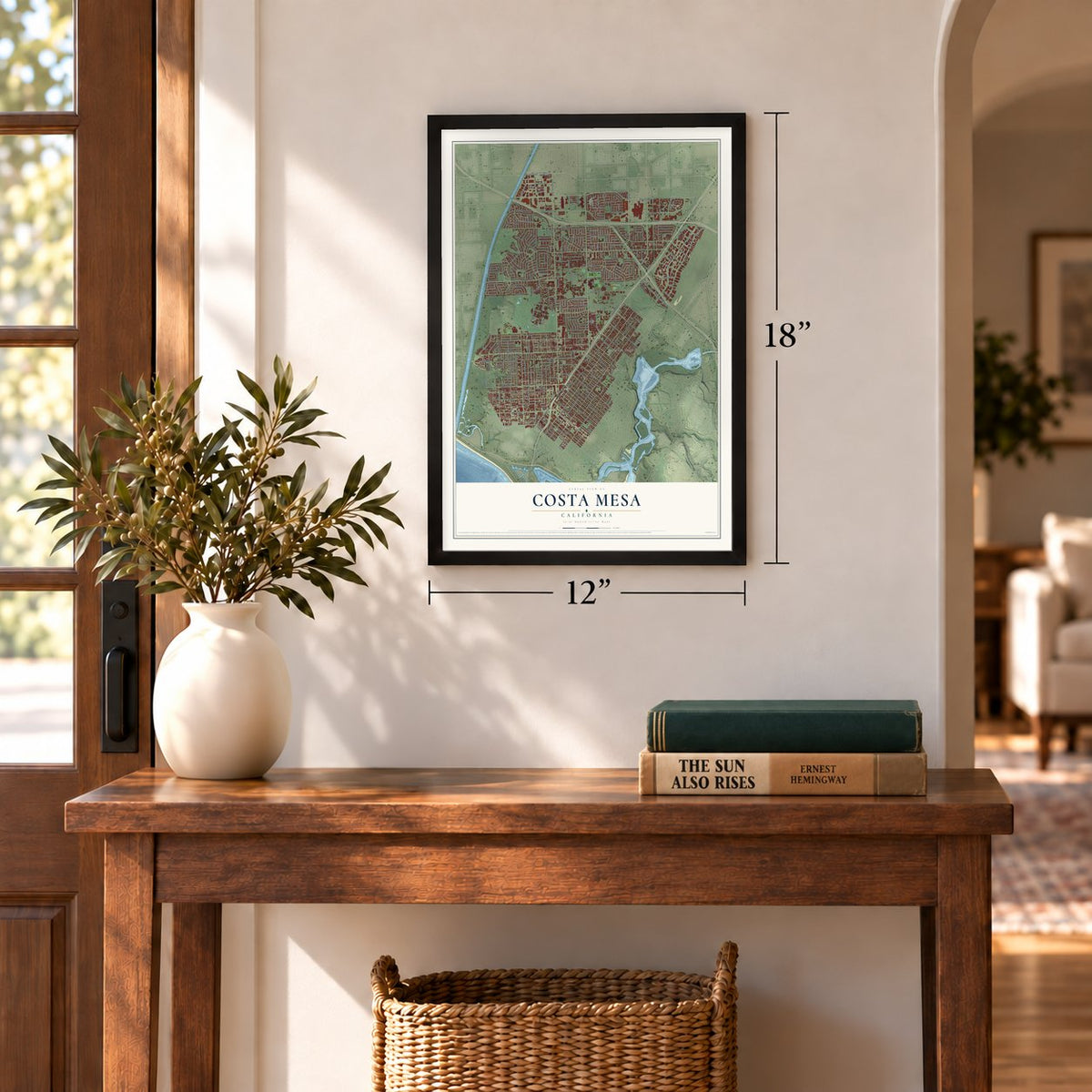
12" x 18" Archival Matte Print
A Map of Home. A Work of Art.
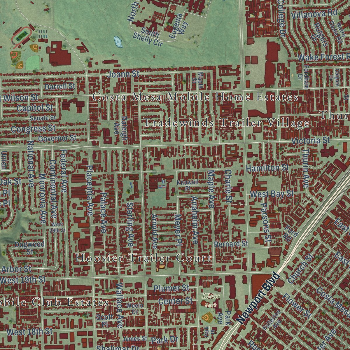
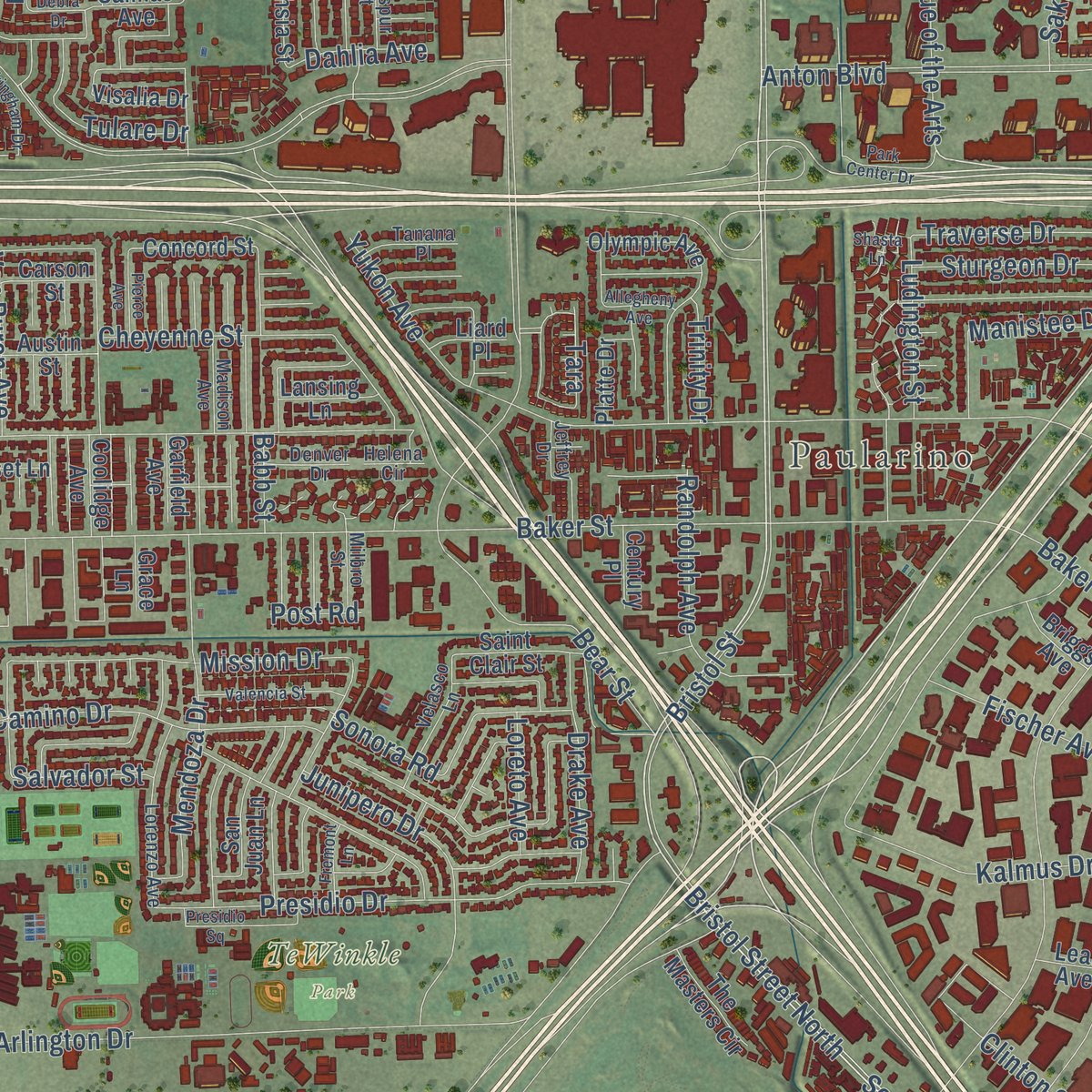
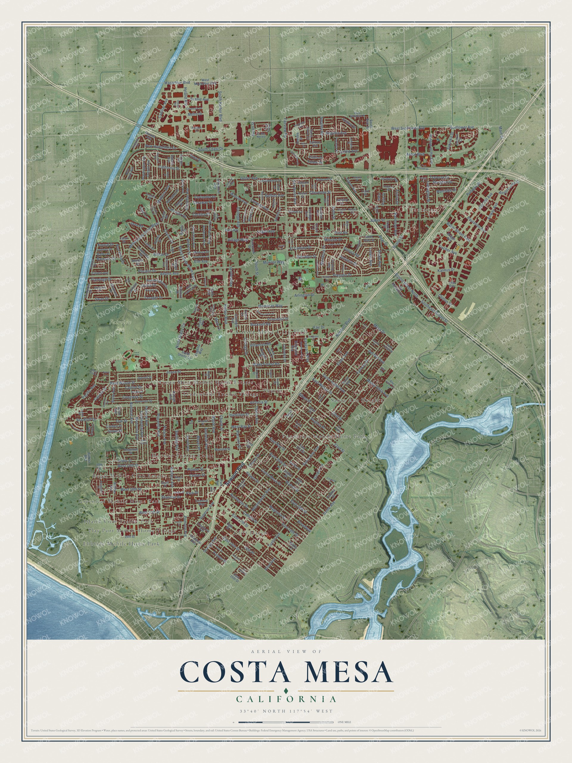
Explore Costa Mesa, California from a whole new perspective. Created using aerial imagery and detailed geographic data, this map captures Costa Mesa building by building, with labeled streets, familiar landmarks, and shaded topographical relief that highlights the natural contours of the landscape.
Combining modern data with the timeless character of a vintage atlas, this map is just as interesting up close as it is beautiful on the wall. Whether you grew up in Costa Mesa, spent memorable years there, or call it home today, this unique map is a great way to celebrate a place that means something to you. Zoom in on the preview to look for your street, and then order a print to put your memories on the wall.
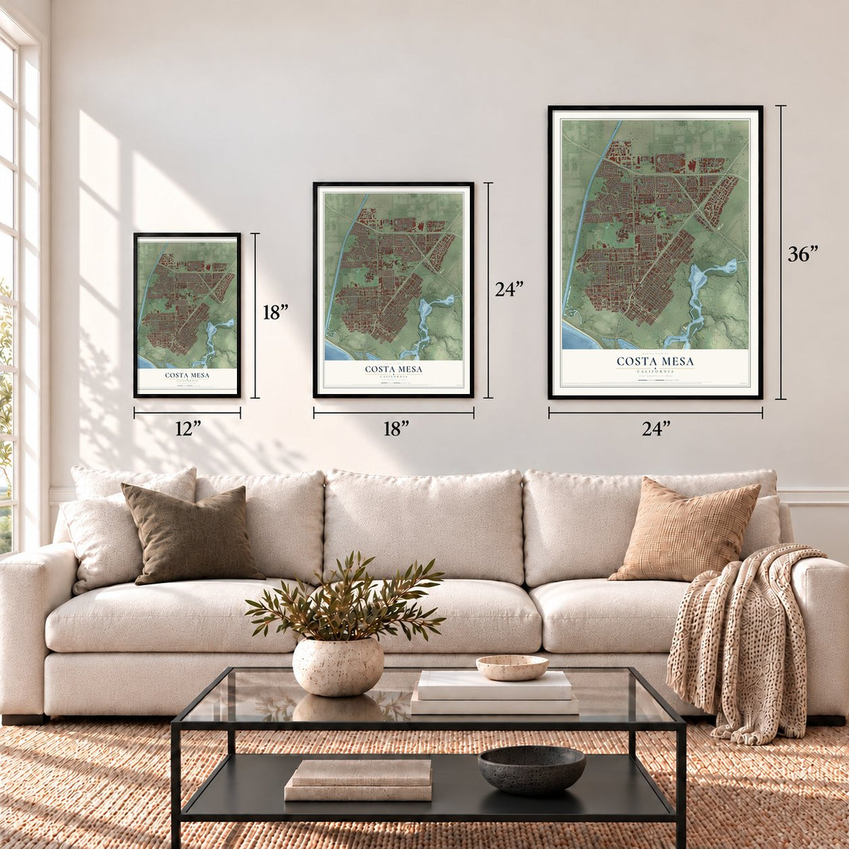
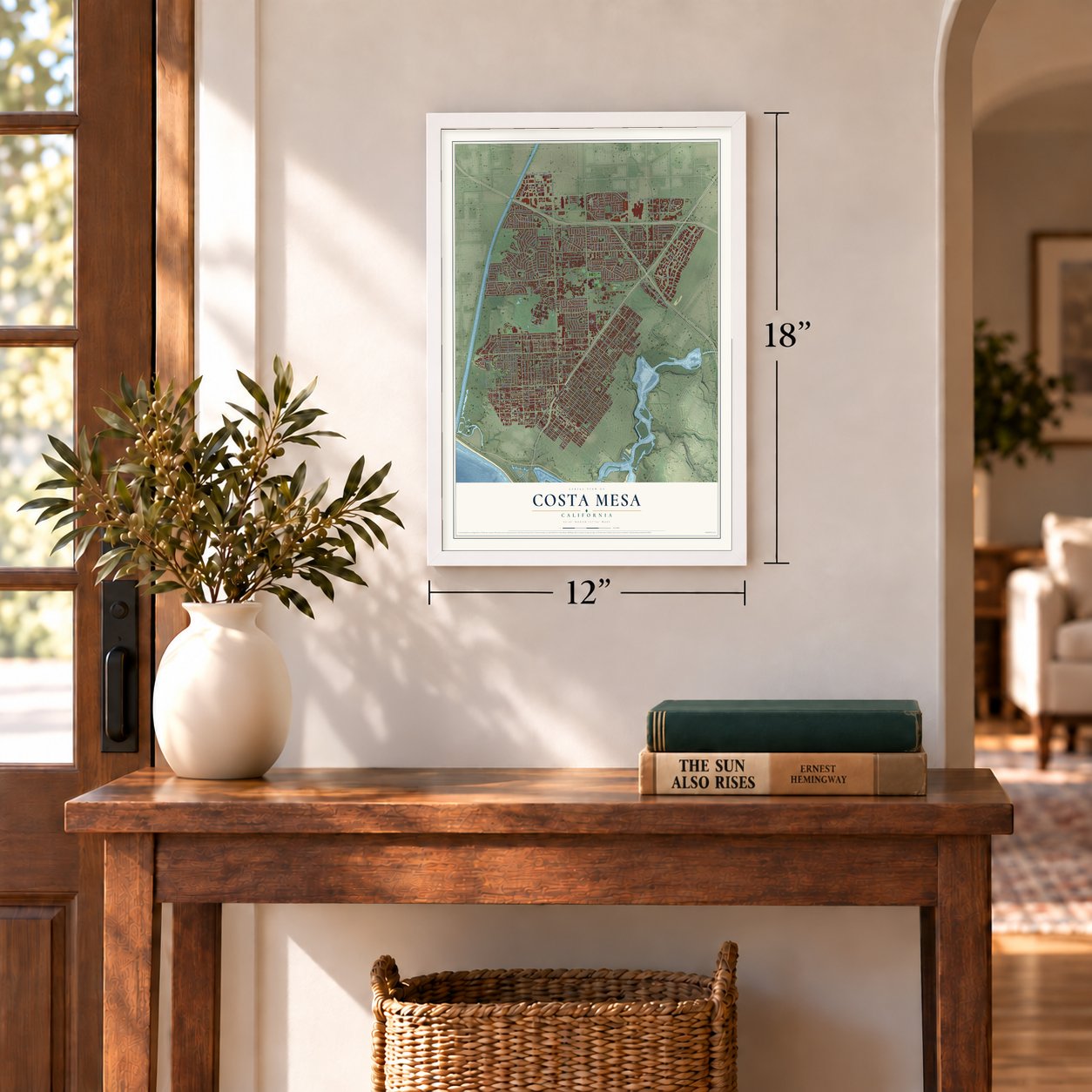
Three ways to hang it
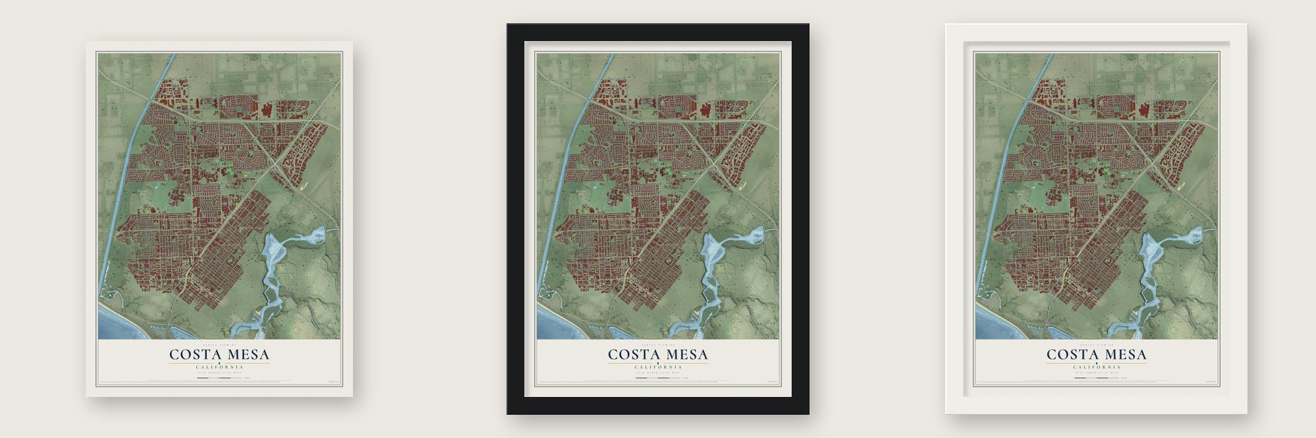
Unframed archival matte, a black wood frame or a white wood frame.
Up close
Geography Worth Displaying
This map was created using accurate cartographic data and authoritative geographic sources, including the U.S. Geological Survey and the Census Bureau. The map brings together terrain, waterways, roads, and building detail. The majority of the streets are labeled, houses are accurately depicted, and the topography is derived from government sources. Combining local data with carefully composed color and shading leads to this beautifully detailed Costa Mesa artwork for your wall.
Rather than simply showing street outlines, we’ve included as many of the street names as we could reasonably fit on the map while keeping their names legible. Zoom in on the high resolution preview to see exactly what’s on the map. We truly set out to create a statement piece for anyone who loves Costa Mesa. So whether it’s for you, or a gift for someone you love, we hope this map of Costa Mesa brings back fond memories.
Read the story behind this map of Costa Mesa, California from 2026.
Find your street
Names on the Costa Mesa map
Every name below is printed on this map. Look for your street, your school, the park where you played, or the pond down the road.
Places and landmarks17
- Costa Mesa City Hall
- Paularino
- Fairview Park
- Lions Park
- TeWinkle Park
- Island View Trailer Park
- Thurin
- Ponderosa Mobile Home Park
- Regal Mobile Club Estates
- Cliff Haven
- Santa Ana Heights
- Tradewinds Trailer Village
Show all 17 places
- Hoosier Trailer Court
- Ebbtide Mobile Home Park
- Greenleaf Mobile Home Park
- Costa Mesa Mobile Home Estates
- Play Port Mobile Home Village
Streets and roads359
- Newport Boulevard
- Bristol Street
- Victoria Street
- Southeast Bristol Street
- 22nd Street
- West 19th Street
- Continental Avenue
- West Wilson Street
- Arbor Street
- Susan Street
- North Shelly Circle
- Superior Avenue
- Canyon Drive
- Harbor Boulevard
- Fairview Road
- Sunflower Avenue
- West Sunflower Avenue
- Adams Avenue
- South Coast Drive
- Baker Street
- Santa Ana Avenue
- Placentia Avenue
- Orange Avenue
- Irvine Avenue
- Bear Street
- Paularino Avenue
- Mesa Verde Drive East
- Tustin Avenue
- Anton Boulevard
- Westminster Avenue
Show all 359 streets
- Pomona Avenue
- Red Hill Avenue
- Merrimac Way
- Gisler Avenue
- Elden Avenue
- Monrovia Avenue
- Mesa Verde Drive West
- West 18th Street
- Airway Avenue
- Joann Street
- Fair Drive
- Iowa Street
- Bristol Street North
- East 17th Street
- Macarthur Boulevard
- Hamilton Street
- Pullman Street
- Wallace Avenue
- West 17th Street
- East 20th Street
- East 18th Street
- Broadway
- East 19th Street
- Flower Street
- East 16th Street
- College Avenue
- Anaheim Avenue
- Magnolia Street
- Arlington Drive
- South Harbor Boulevard
- Walnut Street
- Costa Mesa Street
- Cabrillo Street
- Center Street
- Meyer Place
- California Street
- Santa Isabel Avenue
- Monte Vista Avenue
- 16th Place
- Presidio Drive
- Federal Avenue
- Princeton Drive
- Hyland Avenue
- Congress Street
- Rochester Street
- El Camino Drive
- National Avenue
- Watson Avenue
- Mendoza Drive
- Royal Palm Drive
- 23rd Street
- Mission Drive
- Scenic Avenue
- Randolph Avenue
- East Bay Street
- East Wilson Street
- West Bay Street
- Cheyenne Street
- Junipero Drive
- Mesa Drive
- Del Mar Avenue
- Sterling Avenue
- Virginia Place
- Albert Place
- Samar Drive
- Palace Avenue
- Maple Avenue
- Bucknell Road
- Pacific Avenue
- Tanager Drive
- Kalmus Drive
- Fairway Drive
- New Hampshire Drive
- Java Road
- Sonora Road
- Villanova Road
- Andros Street
- Balearic Drive
- Wake Forest Road
- Vanguard Way
- Baker Street East
- Swan Drive
- Madeira Avenue
- Oak Street
- Oriole Drive
- Conway Avenue
- Logan Avenue
- Gibraltar Avenue
- Fischer Avenue
- Avenue of the Arts
- Traverse Drive
- Labrador Drive
- Manistee Drive
- Village Way
- Yukon Avenue
- Capitol Street
- Charle Street
- Drake Avenue
- Aliso Avenue
- Boa Vista Drive
- Begonia Avenue
- Cadillac Avenue
- Belfast Avenue
- Parsons Street
- Shalimar Drive
- Pitcairn Drive
- State Avenue
- Flamingo Drive
- Airport Loop Drive
- Elm Avenue
- Sturgeon Drive
- College Drive
- Tulare Drive
- Monitor Way
- Loren Lane
- Plumer Street
- Azalea Drive
- Van Buren Avenue
- Sakioka Drive
- Smalley Road
- Babb Street
- Ludington Street
- Corsica Place
- Coriander Drive
- Sea Bluff Drive
- Caraway Drive
- Thurin Avenue
- Palmer Street
- Church Street
- Ceylon Drive
- Clinton Street
- Loreto Avenue
- Mark Lane
- Salvador Street
- Linden Place
- Dahlia Avenue
- South Street
- Peterson Place
- Kornat Drive
- Park Drive
- Garden Lane
- Trinity Drive
- Royce Lane
- Grove Place
- Main Street
- Metro Drive
- Tara
- Post Road
- Eugenia Way
- South Shelly Circle
- Concord Street
- West Macarthur Boulevard
- Whittier Avenue
- East 21st Street
- Ogle Street
- Esther Street
- Columbia Drive
- Governor Street
- 16th Street
- Darrell Street
- Enclave Circle
- Cecil Place
- Clubhouse Road
- Coolidge Avenue
- East 15th Street
- Tahiti Drive
- Rutgers Drive
- Fuchsia Street
- Salinas Avenue
- Hummingbird Drive
- Samoa Place
- Raleigh Avenue
- Bernard Street
- South Bear Street
- Europa Drive
- San Juan Lane
- Minorca Drive
- Pemba Drive
- Washington Avenue
- Saint Clair Street
- Ceylon Road
- Dakota Avenue
- Cinnamon Avenue
- Jacaranda Avenue
- Santa Clara Circle
- Norse Avenue
- Albatross Drive
- Sierks Street
- Capri Lane
- Londonderry Street
- Park Avenue
- Nevada Avenue
- Barbados Place
- Carnegie Avenue
- Ford Road
- Redwood Avenue
- Golf Course Drive
- Dorset Lane
- Arnold Avenue
- Richmond Way
- Sandpiper Drive
- Olympic Avenue
- Oregon Avenue
- Sea Cove Lane
- The Masters Circle
- Pinecreek Drive
- Lemnos Drive
- Calvert Avenue
- Industrial Way
- Platte Drive
- New York Avenue
- Cardinal Drive
- Visalia Drive
- Dale Way
- Dogwood Street
- Balboa Boulevard
- Sicily Avenue
- Carson Street
- Lansing Lane
- Union Avenue
- Austin Street
- Baltra Place
- Deedee Drive
- Briggs Avenue
- Bimini Place
- Terminal Way
- 19th Street
- Starbird Drive
- Rural Lane
- Tabago Place
- Garfield Avenue
- Century Place
- Paloma Drive
- Scott Place
- Alva Lane
- Rhodes Drive
- Liard Place
- Tulip Lane
- Shady Lane
- Grace Lane
- Oxford Lane
- Harla Avenue
- Cork Lane
- Lear Avenue
- Lanai Drive
- Fullerton Avenue
- Fordham Drive
- Senate Street
- Ellesmere Avenue
- Ponderosa Street
- Warren Lane
- Maple Street
- Kinglet Court
- Lorenzo Avenue
- Palau Place
- Murray Lane
- Michigan Avenue
- Valley Road
- Velasco Lane
- West Wakeham Place
- Avalon Street
- Jeffrey Drive
- Mandarin Drive
- Corporate Drive
- Knowell Place
- Commercial Way
- Notre Dame Road
- Jamaica Road
- Tanana Place
- Madison Avenue
- Peninsula Place
- Larkspur Street
- Denver Drive
- James Street
- Weelo Drive
- Milbro Street
- Deodar Avenue
- Santo Tomas Street
- Bay View Terrace
- Alabama Circle
- Gregory Way
- Sunland Lane
- Corte Cassis
- Tern Circle
- Kincaid Drive
- La Perle Place
- Vis Baya
- County Route Novara
- Helena Circle
- Alta Lane
- Park Center Drive
- Country Club Drive
- Buckingham Drive
- Wimbledon Way
- Killybrooke Lane
- West 20th Street
- Colgate Drive
- Minnesota Avenue
- Knox Street
- Presidio Square
- Valencia Street
- Santa Catalina Drive
- Minuteman Way
- Bowling Green Drive
- American Avenue
- Aviemore Terrace
- Wintergreen Place
- Half Moon Lane
- Pierce Avenue
- Vanguard Place
- Ashwood
- Emerson Street
- Chemin de Fer Way
- Fremont Lane
- Allegheny Avenue
- Citrus Place
- Idaho Place
- El Rio Circle
- Farad Street
- Ramona Place
- Howard Way
- Fairway Place
- Mesa Bluff Drive
- Shasta Lane
- Debra Drive
- Nancy Lane
- Alder Lane
- Park Place
- Lisa Lane
Names are listed as they appear on the printed map. Zoom into the product photos to find them.
About Costa Mesa, California
Costa Mesa is a city of 111,918 people in Orange County, and its southern edge lies only a mile from the Pacific. Tongva and Acjachemen people lived on the bluffs above the Santa Ana River long before Europeans arrived, and the village of Genga there is at least 9,500 years old. In 1801 Spain gave Jose Antonio Yorba 62,500 acres, which he called Rancho San Antonio.
After California became part of the United States, American settlers started a town called Fairview in the 1880s, near today's Harbor Boulevard and Adams Avenue. Farther south, a farm town named Harper grew up next to a rail siding on the Santa Ana and Newport Railway and did well selling its crops. A contest paid for by Fanny Bixby Spencer and her husband picked a new name, and on May 11, 1920, Harper became Costa Mesa, Spanish for "coastal tableland," after the plateau it sits on.
- Growth after World War IIThousands of people trained at Santa Ana Army Air Base during World War II, and many came back after the war with their families. The farming town had 16,840 people when it became a city in 1953, and within three decades its population had nearly quintupled.
- The Orange County FairEvery July the Orange County Fair fills the fairgrounds in Costa Mesa and draws more than one million visitors a year.
- From lima beans to the NFLThe Jack Hammett Sports Complex stands on land that was once a lima bean farm. The Los Angeles Chargers trained and kept their headquarters there from 2017 to 2024, and the Las Vegas Raiders have held their training camp there since 2024.
- Scarecrows since 1938The Annual Scarecrow & Pumpkin Festival began in 1938. It then went quiet for seven decades before the city brought it back in 2013.
Keep exploring California
Costa Mesa is one of 1,990 California towns we've mapped. Every dot on the map is a print of its own.
The search covers every state, California first.
Near Costa Mesa
Order 2 or more town maps and save 10%. Shown in the size and finish you picked above, so they hang as a set.
- Fountain Valley 12" x 18" / Archival Matte Print $39.99
- Newport Beach 12" x 18" / Archival Matte Print $39.99
- Santa Ana 12" x 18" / Archival Matte Print $39.99

More maps nearby: Huntington Beach, Turtle Rock, Midway City, Tustin and Westminster.
The art of mapping a place
How This Map Was Made
Real places. Remarkable detail. Discover the layers that turn geographic data into a map of home.

The view from above
Aerial imagery reveals the character of the land: woodland, open fields, and the patterns of a place.

The shape of the land
Elevation data brings hills, valleys, and subtle changes in the landscape into view.

The details of home
Roads, waterways, and building footprints come together to make the map feel unmistakably local.

Geography becomes art
Considered color, shading, and typography bring the layers together in a map made for your wall.


Process illustrated with Mendon, Massachusetts. Aerial imagery: USDA NAIP. Terrain: USGS 3D Elevation Program. Map details and finished artwork: KNOWOL.
The Details
About This Print
Choose an archival matte print, or a black or white Ayous wood frame. The archival matte print is unframed.
Select your size and finish above to see the matching product image and price.
Materials & Craftsmanship
A contemporary map with the character of a classic atlas, printed on archival matte paper. Optional frames are made from Ayous wood.
Your printed map does not include the watermark shown in the full-map preview.
Shipping & Delivery
Free shipping within the United States. Every print is made to order in the USA.
Buying a gift? Add a note in your cart and we'll include it. We never put prices in the package.
Prints ship within 2 to 3 business days. Allow 7 to 10 days total from ordering for delivery. Timing may vary during holidays or periods of high order volume.
Read our shipping policy.
Returns and damaged prints
Each print is made to order. Change-of-mind refunds are not available after production.
If your print arrives damaged, misprinted or incorrect, contact support@knowol.com within 30 days of receiving it. Include your order number, photos and a description of the issue.
Read our full refund and replacement policy. For questions about your order, email support@knowol.com.