
Search for another town
Free U.S. delivery 7 to 10 days after you order
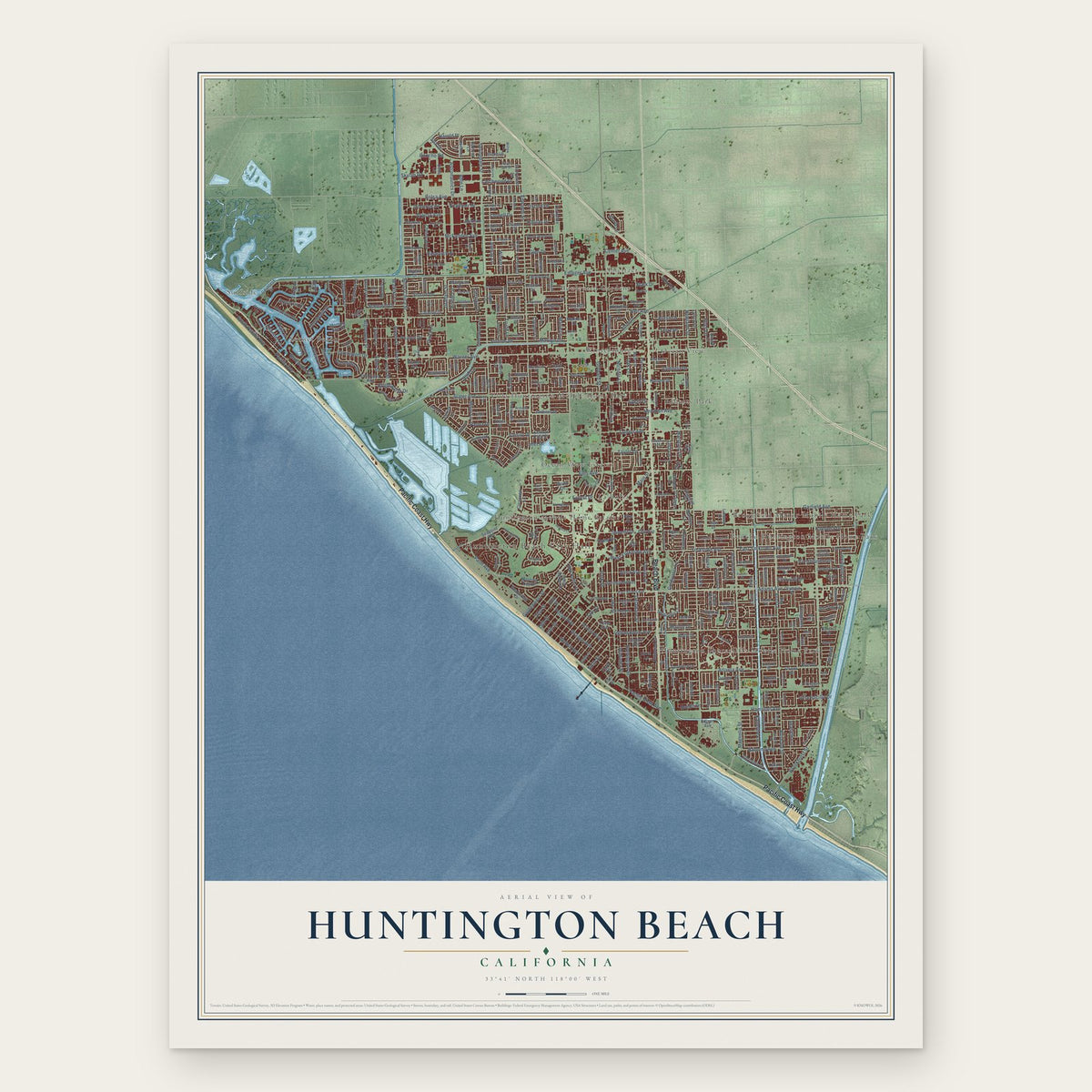
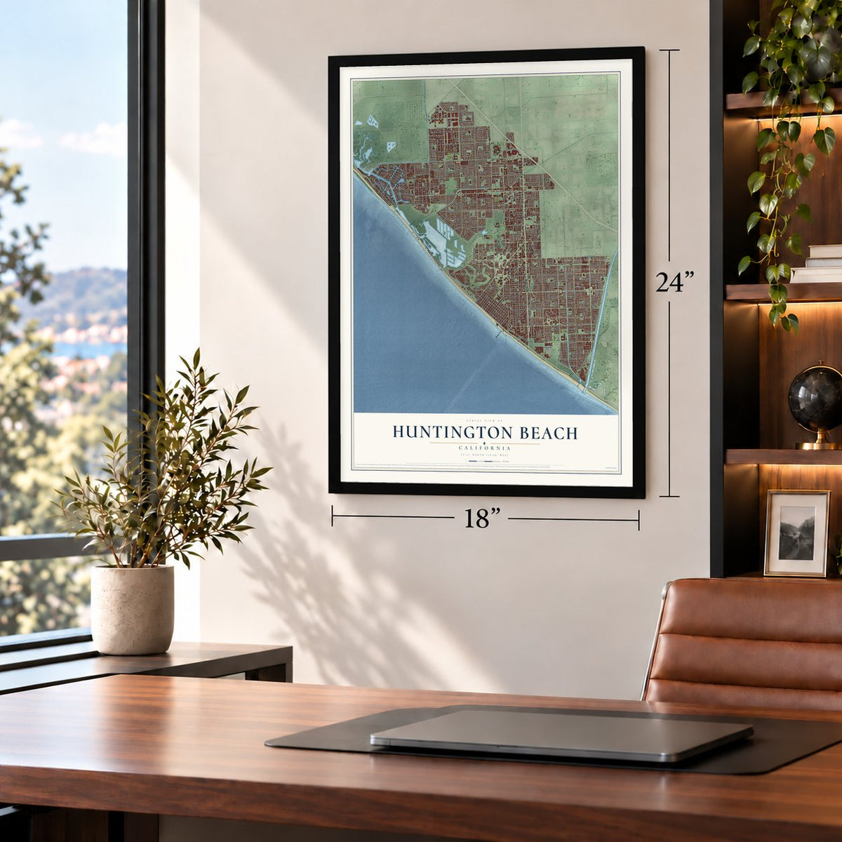
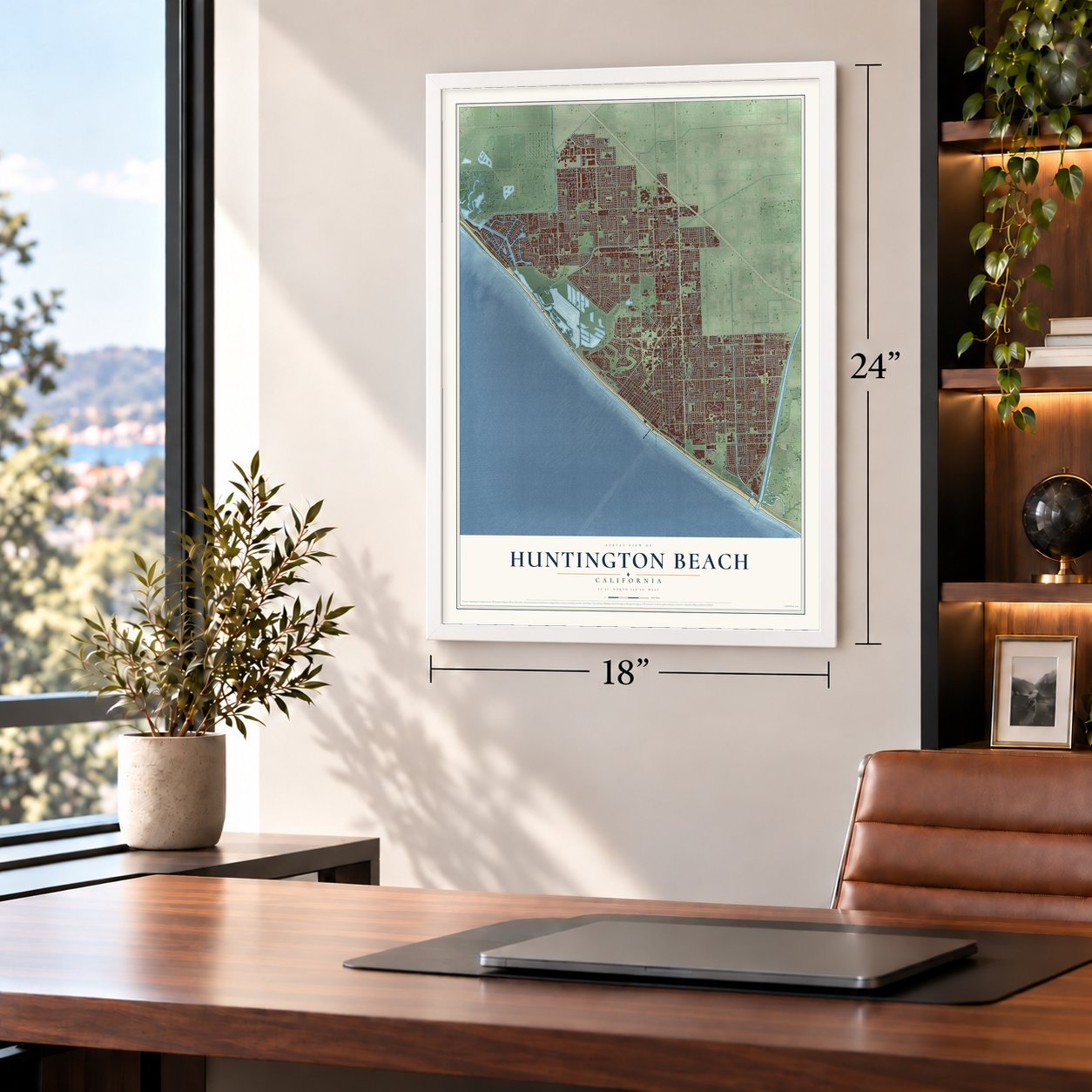
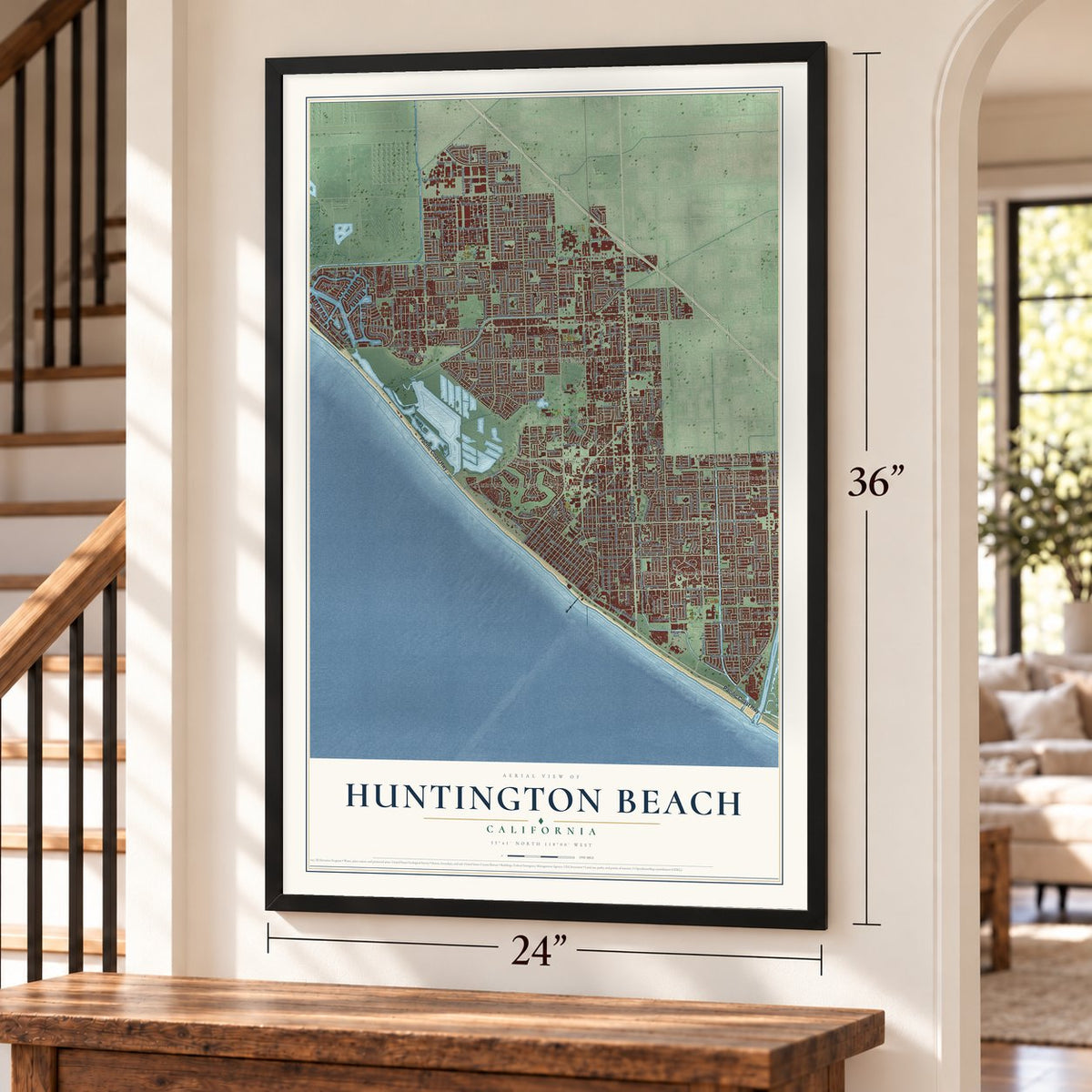
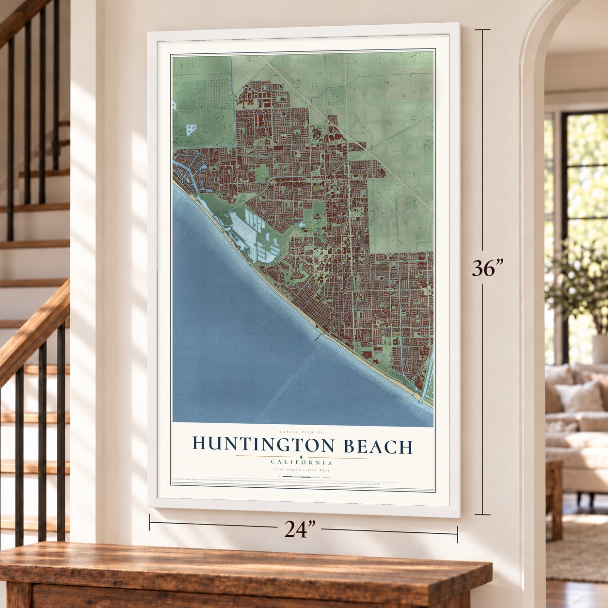
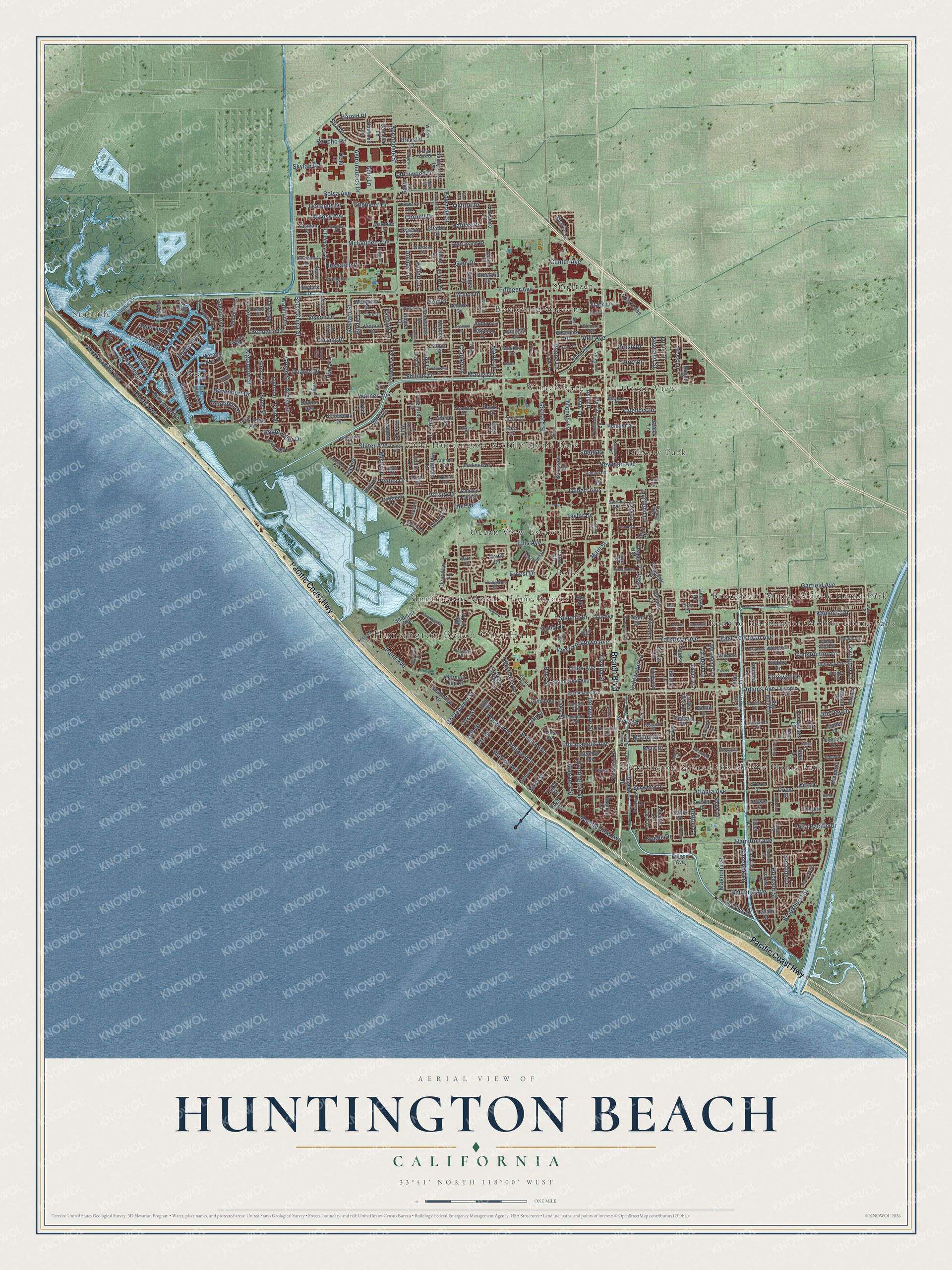
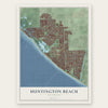
Huntington Beach, California Map Art
Building by building, with labeled streets and shaded relief.
12" x 18" Archival Matte Print
A Map of Home. A Work of Art.
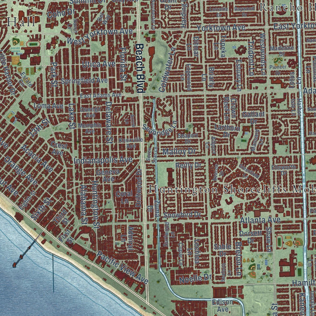
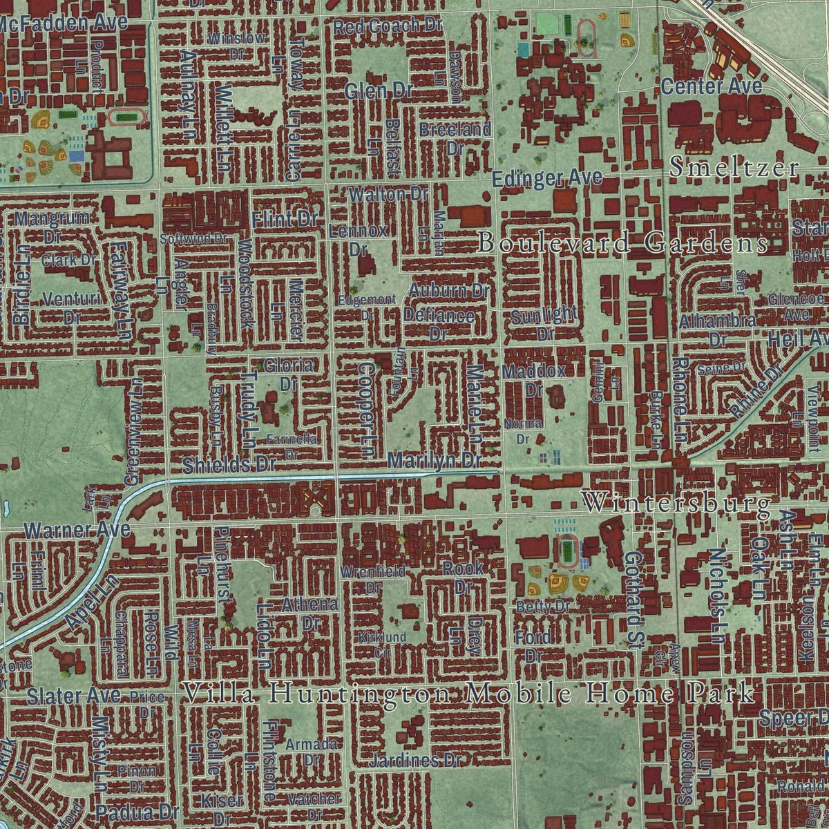
Explore Huntington Beach, California from a whole new perspective. Created using aerial imagery and detailed geographic data, this map captures Huntington Beach building by building, with labeled streets, familiar landmarks, and shaded topographical relief that highlights the natural contours of the landscape.
Combining modern data with the timeless character of a vintage atlas, this map is just as interesting up close as it is beautiful on the wall. Whether you grew up in Huntington Beach, spent memorable years there, or call it home today, this unique map is a great way to celebrate a place that means something to you. Zoom in on the preview to look for your street, and then order a print to put your memories on the wall.
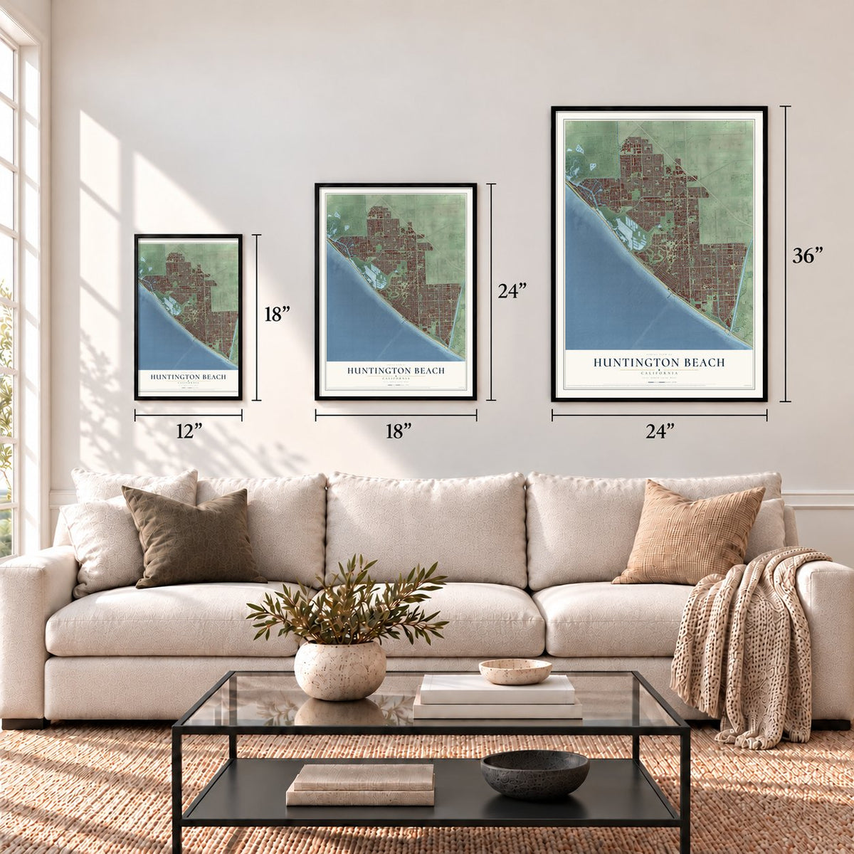
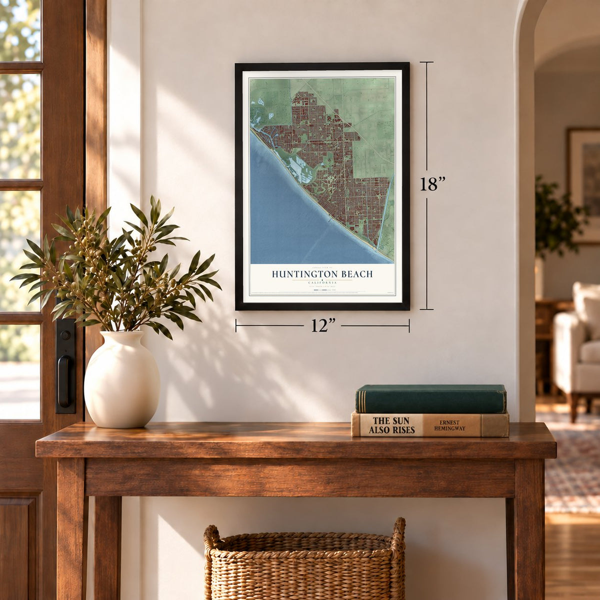
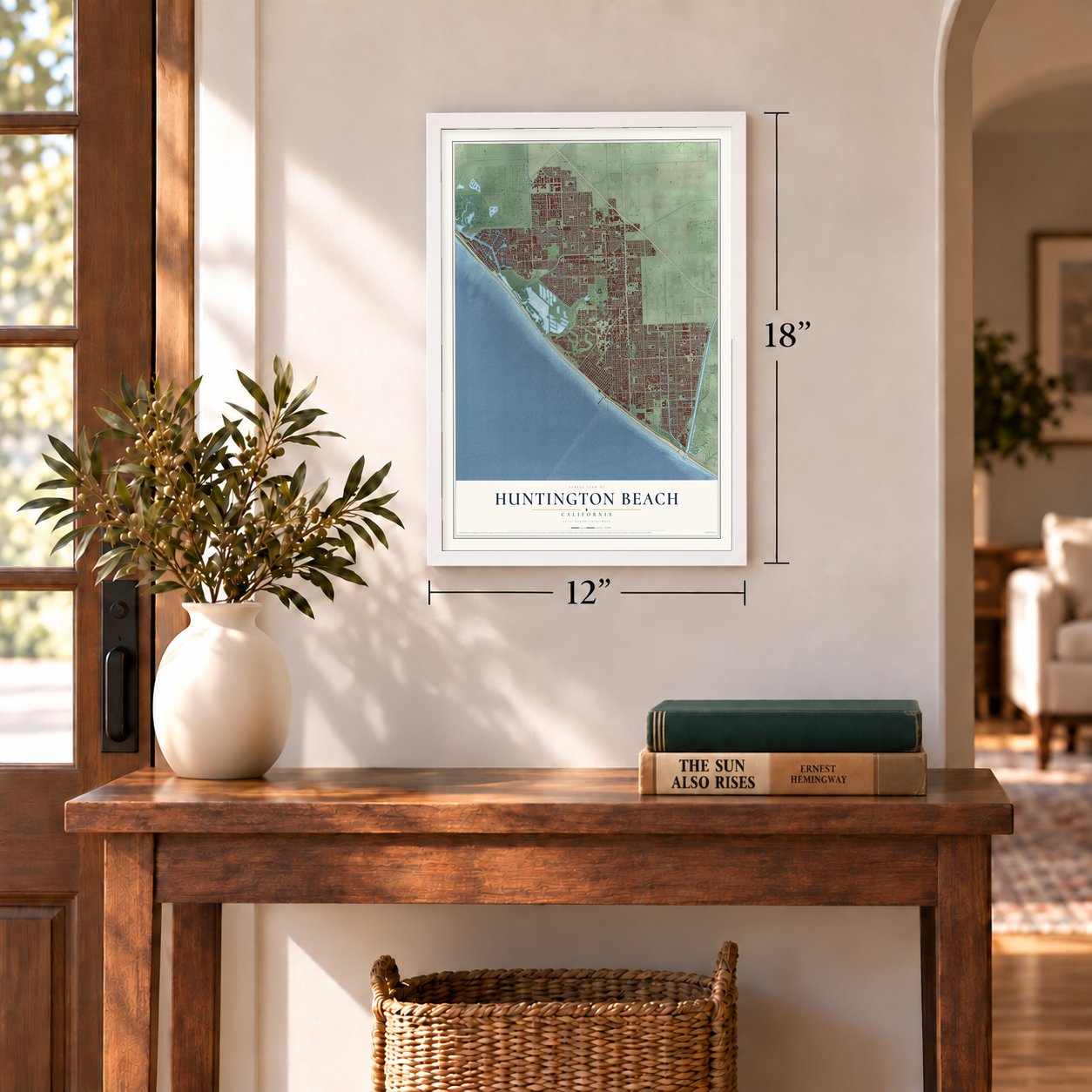
Three ways to hang it
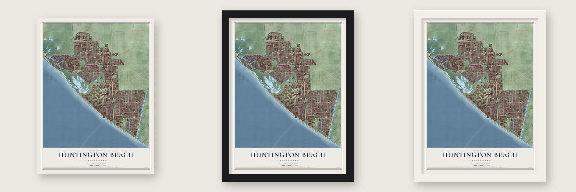
Unframed archival matte, a black wood frame or a white wood frame.
Up close
Geography Worth Displaying
This map was created using accurate cartographic data and authoritative geographic sources, including the U.S. Geological Survey and the Census Bureau. The map brings together terrain, waterways, roads, and building detail. The majority of the streets are labeled, houses are accurately depicted, and the topography is derived from government sources. Combining local data with carefully composed color and shading leads to this beautifully detailed Huntington Beach artwork for your wall.
Rather than simply showing street outlines, we’ve included as many of the street names as we could reasonably fit on the map while keeping their names legible. Zoom in on the high resolution preview to see exactly what’s on the map. We truly set out to create a statement piece for anyone who loves Huntington Beach. So whether it’s for you, or a gift for someone you love, we hope this map of Huntington Beach brings back fond memories.
Read the story behind this map of Huntington Beach, California from 2026.
Find your street
Names on the Huntington Beach map
Every name below is printed on this map. Look for your street, your school, the park where you played, or the pond down the road.
Places and landmarks15
- Huntington Beach City Hall
- Surfside
- Boulevard Gardens
- Brookfield Manor Mobile Home Park
- Huntington Mobile Home Estates
- Huntington Shorecliffs Mobile Home Park
- La Bolsa
- Liberty Park
- Ocean View
- Ocean View Estates
- Rancho Huntington Mobile Home Park
- Smeltzer
Show all 15 places
- Sunset Beach
- Villa Huntington Mobile Home Park
- Wintersburg
Streets and roads396
- Beach Boulevard
- Pacific Coast Highway
- Adams Avenue
- Garfield Avenue
- Edwards Street
- Sixth Street
- Channel Lane
- Varsity Drive
- Warner Avenue
- Goldenwest Street
- Brookhurst Street
- Magnolia Street
- Yorktown Avenue
- Edinger Avenue
- Newland Street
- Bolsa Chica Street
- Main Street
- Springdale Street
- Gothard Street
- Heil Avenue
- Bushard Street
- Palm Avenue
- Bolsa Avenue
- Atlanta Avenue
- Slater Avenue
- Delaware Street
- Talbert Avenue
- Graham Street
- McFadden Avenue
- Huntington Street
Show all 396 streets
- Ellis Avenue
- Indianapolis Avenue
- Summit Drive
- East Yorktown Avenue
- West Yorktown Avenue
- Florida Street
- Hamilton Avenue
- 17th Street
- Alabama Street
- Walnut Avenue
- Lake Street
- Center Avenue
- Orange Avenue
- Pecan Avenue
- Acacia Avenue
- Pacific Avenue
- Pacific View Avenue
- South Pacific Avenue
- Saybrook Lane
- Skylab Road
- 13th Street
- Utica Avenue
- Banning Avenue
- Green Lane
- Green Street
- Pearce Drive
- Villa Pacific Drive
- Taylor Drive
- Park Street
- Rhone Lane
- Newman Avenue
- Brightwater Drive
- Lynn Lane
- Lynn Street
- Sims Lane
- Sims Street
- Nichols Lane
- Plaza Lane
- Argosy Avenue
- Research Drive
- Spa Drive
- Algonquin Street
- Humboldt Drive
- Coldwater Lane
- Davenport Drive
- Terry Drive
- Bolero Lane
- Rancho Road
- 19th Street
- 21st Street
- Roundhill Drive
- Ross Lane
- Oxford Drive
- Larchwood Drive
- Engineer Drive
- Shields Drive
- Kamuela Drive
- Sisson Drive
- Cornell Drive
- Marilyn Drive
- Constitution Drive
- Astronautics Drive
- Kaneohe Lane
- Scenario Drive
- Lexington Lane
- Oceanus Drive
- Brush Drive
- Cornwall Drive
- Valencia Drive
- Bluewater Lane
- Aulnay Lane
- Harold Place
- Hartlund Lane
- Glen Drive
- Venture Drive
- Misty Lane
- Halifax Drive
- Waikiki Lane
- Birdie Lane
- Speer Drive
- Aquarius Drive
- Marie Lane
- Lucia Lane
- Apel Lane
- Trudy Lane
- Seaside Lane
- Jon Day Drive
- Malloy Drive
- Fairway Lane
- Noelle Drive
- Cooper Lane
- Stark Drive
- Trident Lane
- Willett Lane
- Padua Drive
- Oak Lane
- Able Lane
- Ash Lane
- Lister Lane
- Breton Lane
- Ernest Drive
- Lido Lane
- Coho Drive
- Lisa Lane
- Flint Drive
- Inlet Drive
- Kite Drive
- Bel Air Lane
- Lochlea Lane
- Seapoint Avenue
- Clay Avenue
- Driftwood Drive
- Los Patos Avenue
- Chemical Lane
- Seabridge Lane
- Beachview Drive
- Crest Avenue
- Springfield Avenue
- Monterey Lane
- 20th Street
- Alhambra Drive
- Rhine Drive
- Deep Harbor Drive
- Geneva Avenue
- Little Harbor Drive
- Zuma Drive
- Sunnycrest Lane
- Greenview Lane
- Villa Yorba
- Reef Lane
- Fantasia Lane
- Red Coach Drive
- Westwinds Lane
- Snowbird Drive
- Woodstock Lane
- Loma Avenue
- Flintstone Lane
- Hamden Lane
- Wild Rose Lane
- Jardines Drive
- Sampson Lane
- Christine Drive
- Holland Drive
- Briarcliff Drive
- Caliente Drive
- First Street
- Trinidad Lane
- Estuary Lane
- Pinehurst Lane
- Mangrum Drive
- Hammon Lane
- Derby Circle
- Everglades Lane
- Harding Lane
- Belfast Lane
- Venturi Drive
- Countess Drive
- Kenilworth Drive
- Central Park Drive
- Olympic Drive
- Auburn Drive
- Shasta Lane
- Delta Lane
- Morning Tide Drive
- Melody Lane
- Potomac Lane
- Keelson Lane
- Clearview Lane
- Crown Reef Lane
- Yorkshire Lane
- Bellfield Lane
- Walton Drive
- Chapel Lane
- Lennox Drive
- Dorsett Drive
- Flagstaff Lane
- Machine Drive
- Carrie Lane
- Larthorn Drive
- Tasman Drive
- Defiance Drive
- Breeland Drive
- Athena Drive
- Dunbar Avenue
- Crailet Drive
- Lotus Lane
- Zeider Lane
- Spindrift Lane
- Admiral Lane
- Peale Lane
- Reilly Drive
- Citadel Drive
- Shaw Lane
- Angler Lane
- Big Bend Lane
- Toway Lane
- Morning Star Drive
- Bickley Drive
- Friml Lane
- Sydney Drive
- Collie Lane
- Falkirk Lane
- Third Street
- Edison Avenue
- Sunlight Drive
- Gloria Drive
- Maddox Drive
- Calneva Lane
- Topeka Lane
- Lawson Lane
- Cynthia Drive
- Swan Lane
- Orient Drive
- Coral Lane
- Briarly Lane
- Sable Drive
- Mercier Lane
- Ford Drive
- Gallant Drive
- Lindsay Lane
- Ditmar Lane
- Skylark Drive
- Luss Drive
- Grant Drive
- Bimini Lane
- Fleet Lane
- Rook Drive
- Roque Lane
- Calera Lane
- Power Drive
- Leilani Drive
- Elm Lane
- Sabre Lane
- Kiser Drive
- Drey Lane
- Gina Lane
- Pike Street
- East Adams Avenue
- Oceanridge Drive
- Eighth Street
- Memphis Avenue
- Coral Cay Lane
- Knoxville Avenue
- Ronald Road
- Baruna Lane
- Winslow Drive
- Burke Lane
- Cutty Sark Drive
- Harbor Isle Lane
- Sherwood Drive
- Fieldbury Lane
- Oswego Avenue
- Wrenfield Drive
- Dawson Lane
- Sterling Avenue
- Royal Oak Drive
- Glencoe Avenue
- Chapparal Lane
- Glenstone Drive
- Vatcher Drive
- Cameron Lane
- Busby Lane
- Impala Lane
- Armada Drive
- Effingham Drive
- Clark Drive
- Dovewood Drive
- Woodlawn Drive
- Valley Forge Drive
- Surfwood Lane
- Marjan Lane
- Blaylock Drive
- Production Drive
- Starfire Lane
- Ellsworth Drive
- Livingston Drive
- Edgewood Lane
- Warren Lane
- Price Drive
- Monitor Drive
- Product Lane
- Gum Tree Lane
- Whitford Lane
- Madeline Drive
- Viewpoint Lane
- Lahaina Drive
- Kimberly Drive
- Estate Circle
- Pinon Drive
- Zamora Lane
- Seaport Drive
- Betty Drive
- Mansard Lane
- Cupar Lane
- Fireside Drive
- Edye Drive
- Del Way
- Midland Lane
- Disney Circle
- Holt Drive
- Willow Lane
- Moritz Drive
- Suite Drive
- Allport Lane
- Airport Circle
- Alisa Lane
- Libra Circle
- Polo Circle
- Forelle Drive
- Dewberry Drive
- Paisley Lane
- Keel Drive
- Seapoint Drive
- Greenfield Lane
- Cherryhill Drive
- Ward Street
- Columbia Lane
- Morningside Drive
- Sher Lane
- Santa Barbara Lane
- Redford Lane
- Ranch Lane
- Farinella Drive
- Beacon Drive
- Constantine Drive
- Worchester Lane
- Bradbury Lane
- Summerwind Lane
- Edgeview Lane
- Seaforth Lane
- Softwind Drive
- Del Mar Lane
- Nautilus Drive
- Nantucket Drive
- Baywood Drive
- Business Drive
- Fountain Lane
- Hazelbrook Drive
- Gainsford Lane
- Edgemont Drive
- Pioneer Drive
- Newmoon Lane
- Manorfield Drive
- Chubasco Lane
- La Mesa Lane
- Trumbull Drive
- Pammy Lane
- Seine Drive
- Kirklund Circle
- Pinetree Lane
- Lorraine Drive
- Gemini Lane
- Leasure Way
- Lark Lane
- Big Sur Drive
- Saline Drive
- Tropez Lane
- Seven Seas Lane
- Arrow Lane
- Norma Drive
- Apex Circle
- Bell Circle
- Dana Drive
- Jalm Drive
- Quill Circle
- Eton Circle
Names are listed as they appear on the printed map. Zoom into the product photos to find them.
About Huntington Beach, California
Huntington Beach is a city of 198,711 people in Orange County, on the Pacific coast. Long before there was a city, the Tongva village of Lupukngna stood close to where the Newland House Museum is today, and the Tongva spent winters at Bolsa Chica. Later settlers knew the place by a string of names: Shell Beach, then the town of Smeltzer, then Gospel Swamp, for the revival meetings held out in the marsh where Golden West College now stands.
As it grew into a tourist spot, the town became Fairview and then Pacific City. To get a connection to the Pacific Electric Red Car lines, it handed great power to the railroad magnate Henry E. Huntington, and in 1903 it took his name. His real estate firm, the Huntington Beach Company, was the town's first developer, and the city was incorporated on February 17, 1909, with Ed Manning as its first mayor.
- Free land, then oilAn encyclopedia company once gave away lots around Huntington Beach to anyone who bought a full set for $126. When oil turned up under the area, those buyers ended up with far more than they paid for, and the field was drilled on a huge scale. The high school, built on Main Street in 1906, still calls its teams the Oilers, and oil pumps still stand around the city.
- Lima beans and sugar beetsFarming came first in early Huntington Beach, whose fields grew sugar beets, celery, lima beans, peppers and asparagus. Holly Sugar, among the biggest employers in town, ran a large processing plant here. That plant was later turned into an oil refinery.
- Surf City since 1914George Freeth became the first person to surf at Huntington Beach in 1914. Duke Kahanamoku started surfing here in 1925 and helped make the sport popular. The West Coast Surfing Championships grew into the US Open of Surfing, held here every summer, and the city came to be called Surf City.
- The oldest house, from 1898The Newland House, built in 1898, is the oldest home in Huntington Beach. It has been restored and opened to visitors as the city's only house museum, and it joined the National Register in 1985.
Keep exploring California
Huntington Beach is one of 1,990 California towns we've mapped. Every dot on the map is a print of its own.
The search covers every state, California first.
Near Huntington Beach
Order 2 or more town maps and save 10%. Shown in the size and finish you picked above, so they hang as a set.
- Fountain Valley 12" x 18" / Archival Matte Print $39.99
- Midway City 12" x 18" / Archival Matte Print $39.99
- Westminster 12" x 18" / Archival Matte Print $39.99

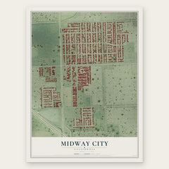
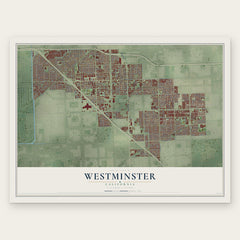
More maps nearby: Seal Beach, Costa Mesa, Garden Grove, Stanton and Santa Ana.
The art of mapping a place
How This Map Was Made
Real places. Remarkable detail. Discover the layers that turn geographic data into a map of home.

The view from above
Aerial imagery reveals the character of the land: woodland, open fields, and the patterns of a place.

The shape of the land
Elevation data brings hills, valleys, and subtle changes in the landscape into view.

The details of home
Roads, waterways, and building footprints come together to make the map feel unmistakably local.

Geography becomes art
Considered color, shading, and typography bring the layers together in a map made for your wall.


Process illustrated with Mendon, Massachusetts. Aerial imagery: USDA NAIP. Terrain: USGS 3D Elevation Program. Map details and finished artwork: KNOWOL.
The Details
About This Print
Choose an archival matte print, or a black or white Ayous wood frame. The archival matte print is unframed.
Select your size and finish above to see the matching product image and price.
Materials & Craftsmanship
A contemporary map with the character of a classic atlas, printed on archival matte paper. Optional frames are made from Ayous wood.
Your printed map does not include the watermark shown in the full-map preview.
Shipping & Delivery
Free shipping within the United States. Every print is made to order in the USA.
Buying a gift? Add a note in your cart and we'll include it. We never put prices in the package.
Prints ship within 2 to 3 business days. Allow 7 to 10 days total from ordering for delivery. Timing may vary during holidays or periods of high order volume.
Read our shipping policy.
Returns and damaged prints
Each print is made to order. Change-of-mind refunds are not available after production.
If your print arrives damaged, misprinted or incorrect, contact support@knowol.com within 30 days of receiving it. Include your order number, photos and a description of the issue.
Read our full refund and replacement policy. For questions about your order, email support@knowol.com.