
Search for another town
Free U.S. delivery 7 to 10 days after you order
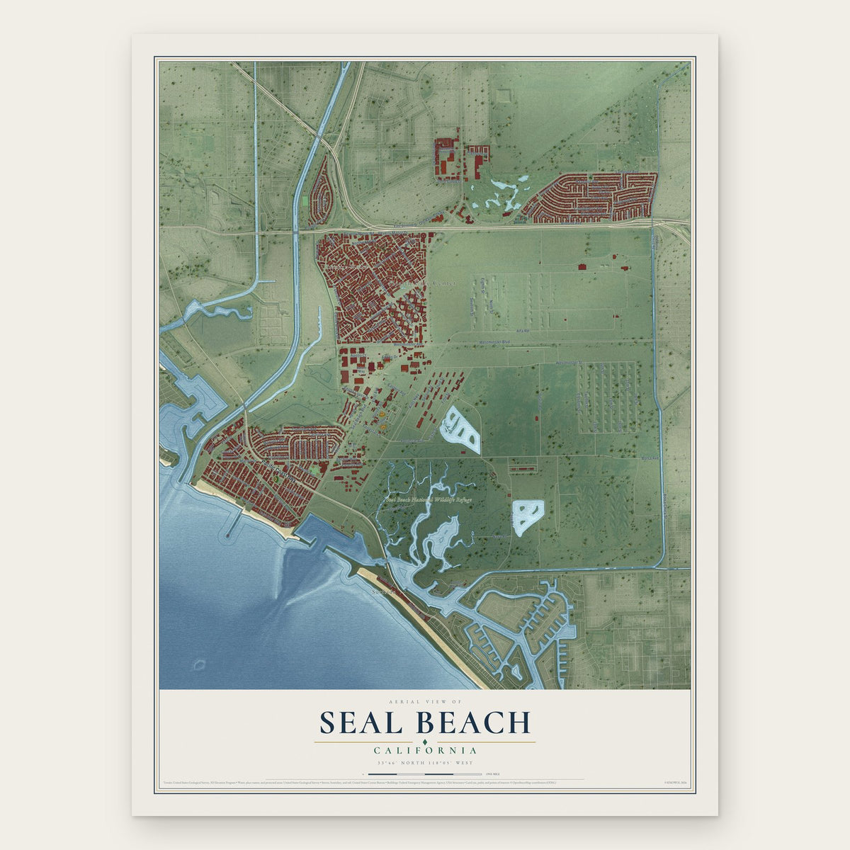
Seal Beach, California Map Art
Building by building, with labeled streets and shaded relief.
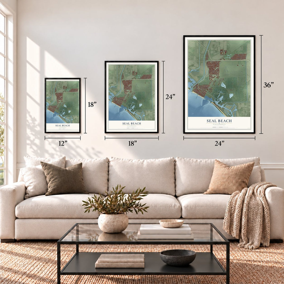
12" x 18" Archival Matte Print
A Map of Home. A Work of Art.
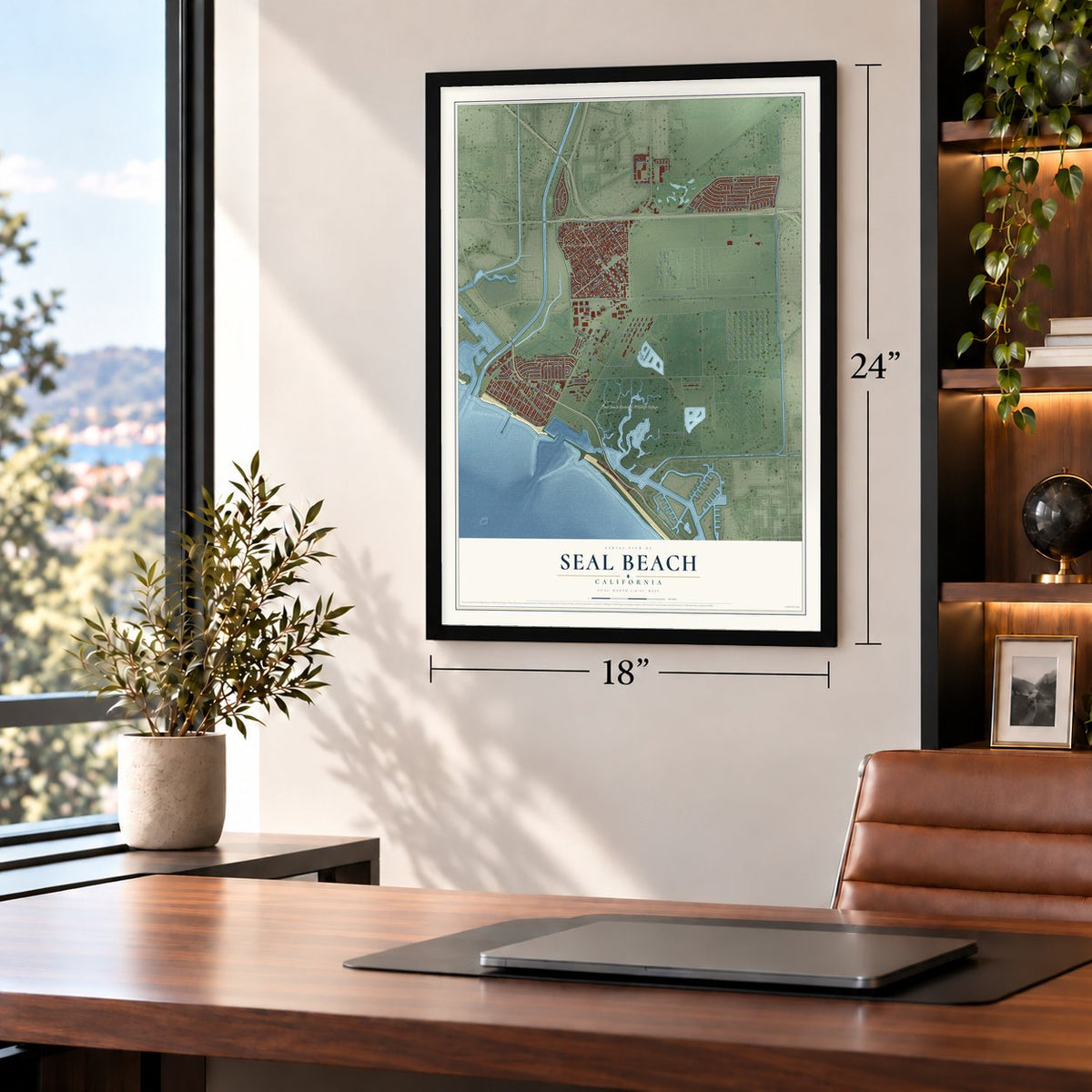
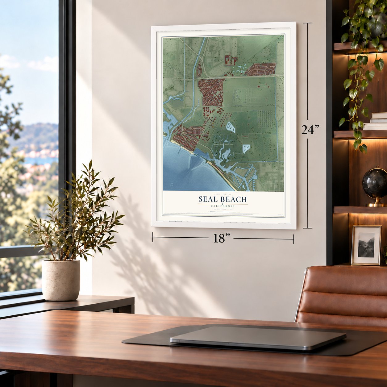
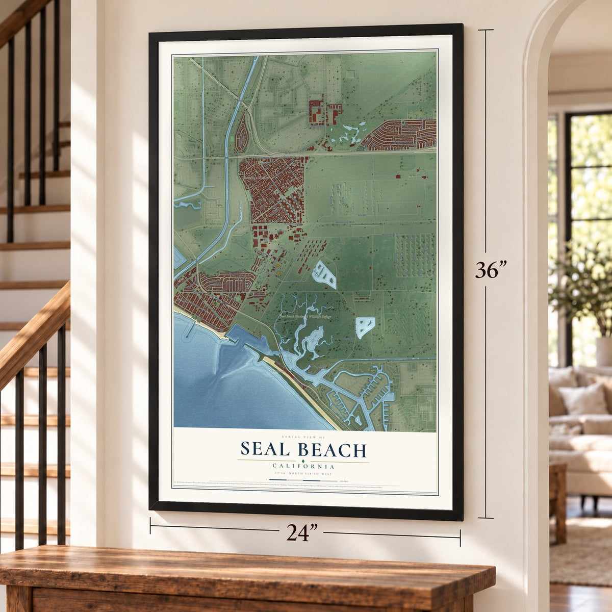
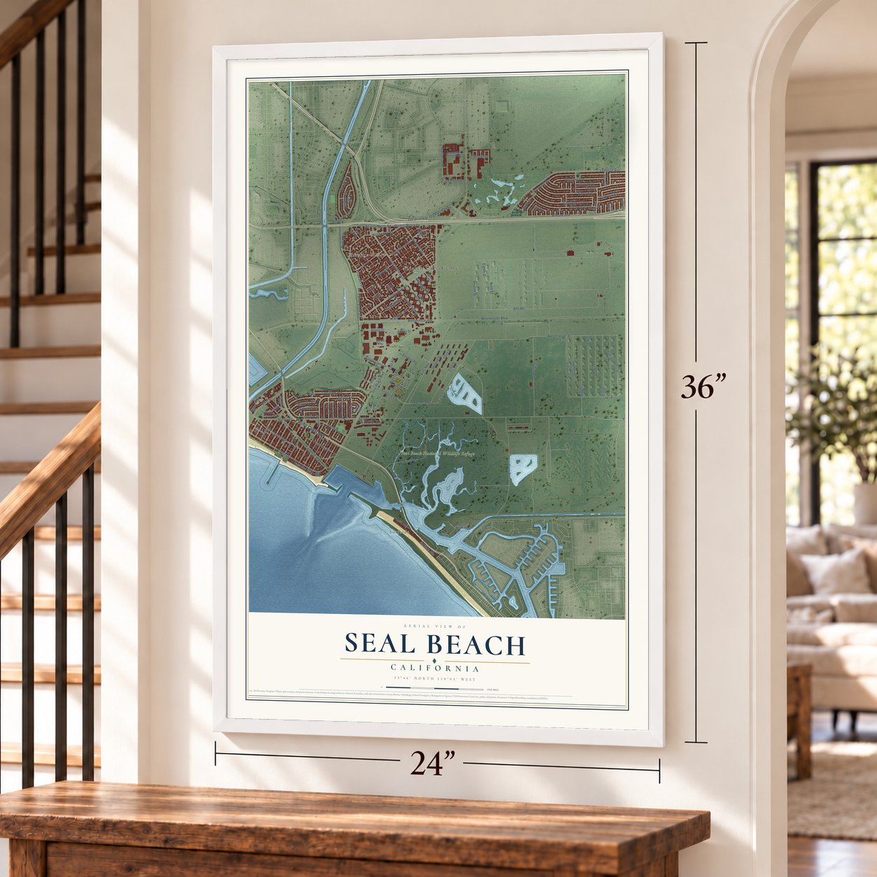
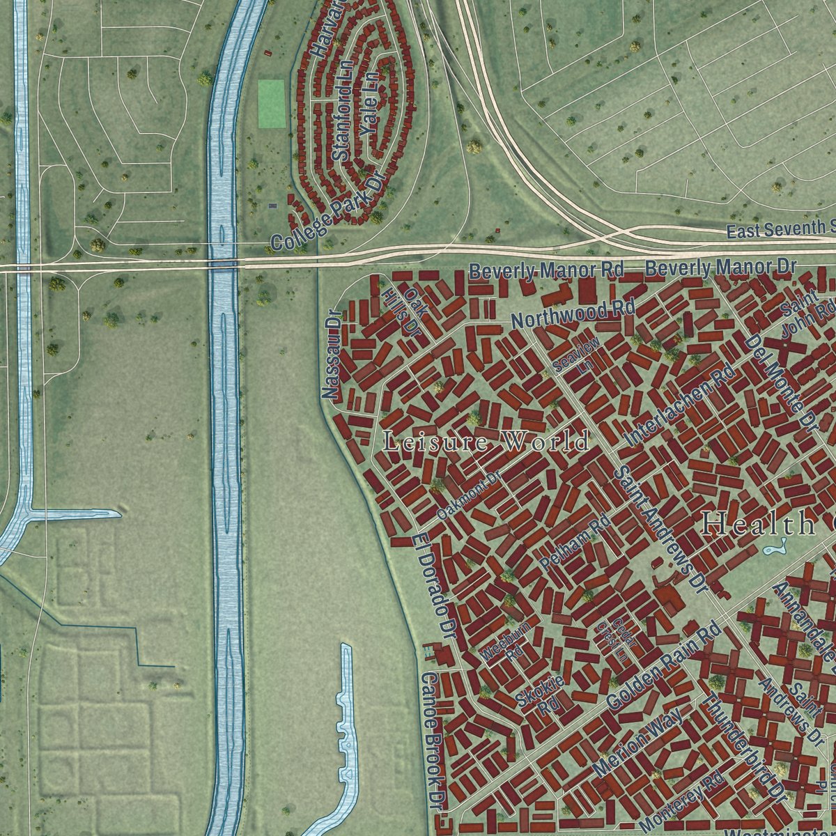
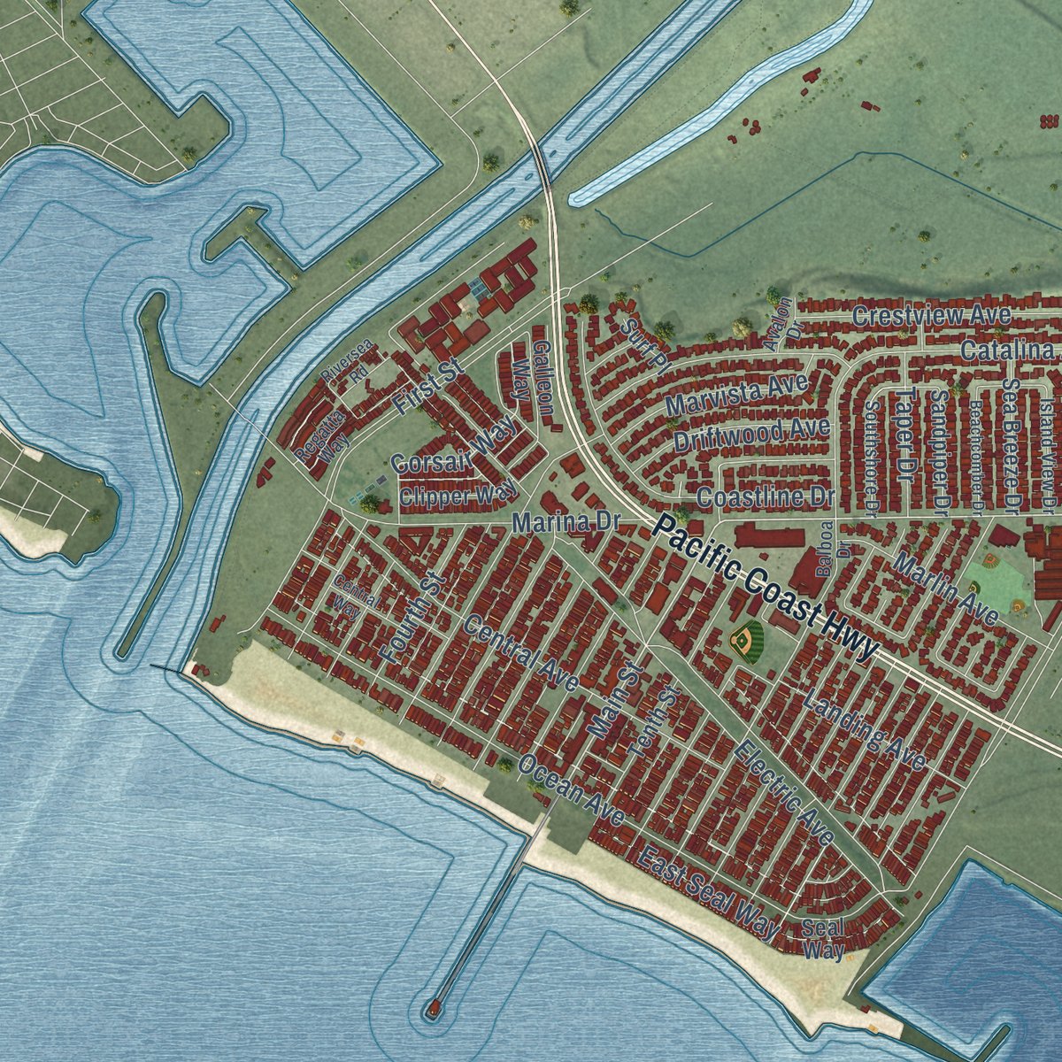
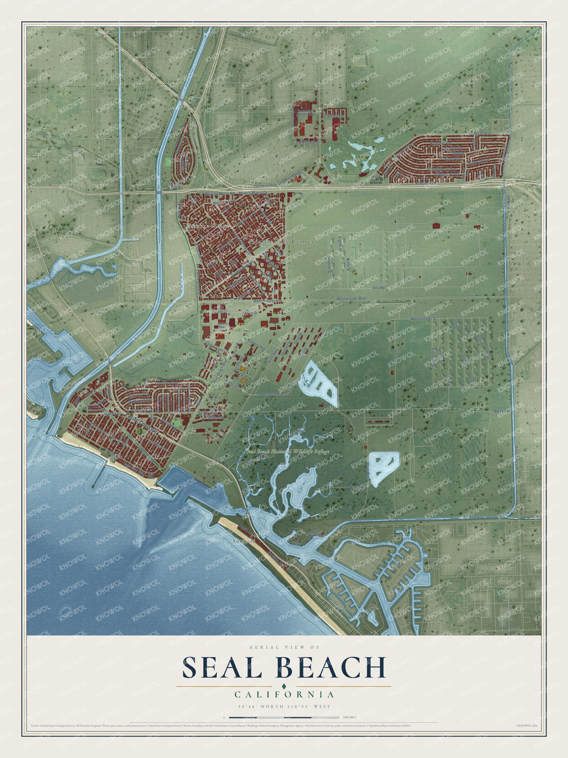
Explore Seal Beach, California from a whole new perspective. Created using aerial imagery and detailed geographic data, this map captures Seal Beach building by building, with labeled streets, familiar landmarks, and shaded topographical relief that highlights the natural contours of the landscape.
Combining modern data with the timeless character of a vintage atlas, this map is just as interesting up close as it is beautiful on the wall. Whether you grew up in Seal Beach, spent memorable years there, or call it home today, this unique map is a great way to celebrate a place that means something to you. Zoom in on the preview to look for your street, and then order a print to put your memories on the wall.
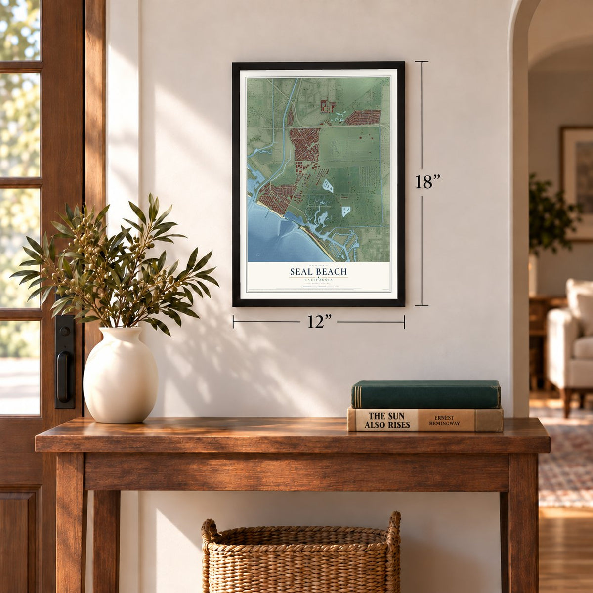
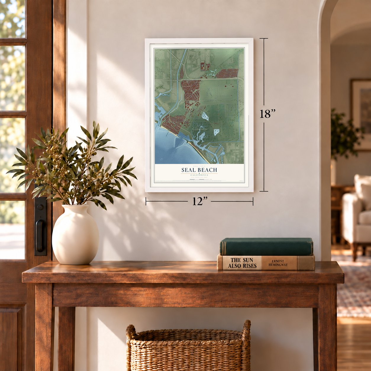
Three ways to hang it
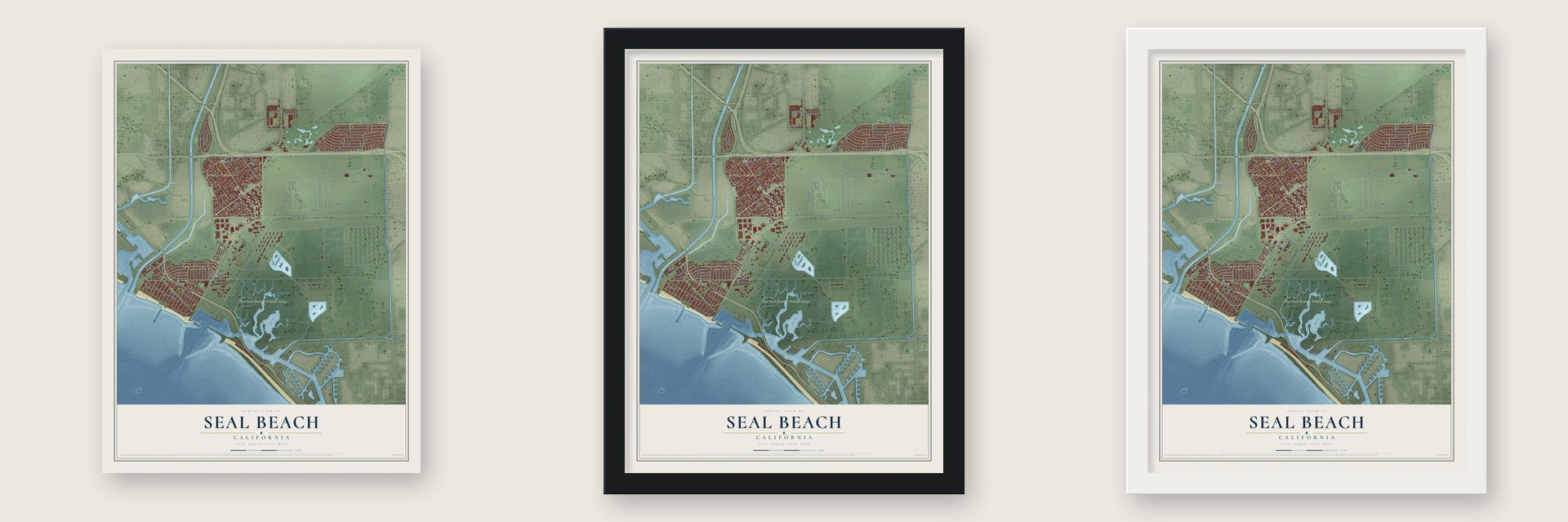
Unframed archival matte, a black wood frame or a white wood frame.
Up close
Geography Worth Displaying
This map was created using accurate cartographic data and authoritative geographic sources, including the U.S. Geological Survey and the Census Bureau. The map brings together terrain, waterways, roads, and building detail. The majority of the streets are labeled, houses are accurately depicted, and the topography is derived from government sources. Combining local data with carefully composed color and shading leads to this beautifully detailed Seal Beach artwork for your wall.
Rather than simply showing street outlines, we’ve included as many of the street names as we could reasonably fit on the map while keeping their names legible. Zoom in on the high resolution preview to see exactly what’s on the map. We truly set out to create a statement piece for anyone who loves Seal Beach. So whether it’s for you, or a gift for someone you love, we hope this map of Seal Beach brings back fond memories.
Read the story behind this map of Seal Beach, California from 2026.
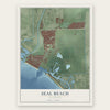
Find your street
Names on the Seal Beach map
Every name below is printed on this map. Look for your street, your school, the park where you played, or the pond down the road.
Places and landmarks4
- Health Care Center
- Leisure World
- Seal Beach National Wildlife Refuge
- Surfside
Streets and roads136
- Pacific Coast Highway
- Case Road
- Sixth Street
- Forrestal Lane
- Forrestal Avenue
- Old Ranch Parkway
- Saint Cloud Drive
- Corsair Way
- Bolsa Avenue
- 18th Street
- Main Street
- Westminster Street
- Del Monte Drive
- Surfside Avenue
- Montecito Road
- Anchor Way
- Twelfth Street
- Seal Beach Boulevard
- Westminster Boulevard
- Lampson Avenue
- Golden Rain Road
- First Street
- Westminster Avenue
- Electric Avenue
- Kitts Highway
- Bolsa Chica Street
- Fifth Street
- Alfa Road
- Saint Andrews Drive
- 14th Street
Show all 136 streets
- Almond Avenue
- Ironwood Avenue
- Candleberry Avenue
- 13th Street
- Ocean Avenue
- Eleventh Street
- Dogwood Avenue
- Eighth Street
- Seventh Street
- 17th Street
- Beverly Manor Drive
- Beverly Manor Road
- Fir Avenue
- 16th Street
- El Dorado Drive
- Signal Road
- Catalina Avenue
- 15th Street
- Elder Avenue
- Devlin Road
- Third Street
- Hazelnut Avenue
- Hussey Road
- Birchwood Avenue
- College Park Drive
- Northwood Road
- Apollo Drive
- Fourth Street
- Central Avenue
- Harvard Lane
- Crestview Avenue
- Marina Drive
- Second Street
- Ninth Street
- Coastline Drive
- East Seal Way
- First Avenue
- Thunderbird Drive
- Eastern Avenue
- Nassau Drive
- Stanford Lane
- Canoe Brook Drive
- Landing Avenue
- Nasa Road
- Wisteria Street
- Marlin Avenue
- Guava Avenue
- Marvista Avenue
- Interlachen Road
- Pelorus Avenue
- Merion Way
- Annandale Drive
- Driftwood Avenue
- Aster Street
- Bayside Drive
- Plymouth Drive
- Adolfo Lopez Drive
- Yale Lane
- Taper Drive
- Violet Street
- Rose Street
- Apollo Court
- Heron Circle
- Pacific Avenue
- Seal Way
- Tenth Street
- Monterey Road
- Sunset Way East
- Oleander Street
- Rossmoor Center Way
- Galleon Way
- East Seventh Street
- Sea Breeze Drive
- Sandpiper Drive
- Old Bolsa Chica Road
- Skokie Road
- Pelham Road
- Banyan Avenue
- Clipper Way
- Saint John Road
- Harbor Way
- Chapel Drive
- Oak Hills Drive
- Saturn Way
- Surf Place
- Rose Circle
- Hill Street
- Burning Tree Lane
- Oakmont Drive
- Balboa Drive
- Weeburn Road
- Island View Drive
- Southshore Drive
- Regatta Way
- Blue Heron
- Church Place
- Seaview Lane
- Avalon Drive
- Central Way
- Heather Street
- Beachcomber Drive
- Park Circle Drive
- Riversea Road
- Cedar Crest Lane
- Daisy Street
- Iris Circle
Names are listed as they appear on the printed map. Zoom into the product photos to find them.
About Seal Beach, California
Seal Beach is a city of 25,242 people in the westernmost corner of Orange County. In the mid-1860s, farmers and merchants from the young town of Anaheim built a wharf and a warehouse where Anaheim Creek met the Pacific, so they could ship their wine and bring in building supplies. For a few years Anaheim Landing nearly matched San Pedro in shipping. Then the railroad reached Anaheim in 1875, and wagon trips of 12 miles over soft soil no longer made sense. The landing lived on as a summer escape, with as many as 400 people staying through the season.
In 1903 Philip A. Stanton, a Los Angeles realtor, formed a syndicate to lay out a town beside the bays. He called it Bay City, but it failed as an investment, partly because the 1906 San Francisco Earthquake drew money north. Guy M. Rush renamed it Seal Beach in 1913 and gave up by early 1915. That year Stanton bought amusements from the closing Panama-Pacific International Exposition, and the town incorporated. The Joy Zone opened in 1916 as Orange County's first amusement park, but World War I limits on rubber and metal soon hurt it badly.
“Soon after the founding of the Mother Colony at Anaheim in 1857, the Anaheim Landing Company established Anaheim Landing as a port for the Santa Ana Valley.”
- Gambling houses on Main StreetAfter 1920, the town's two bays, many inlets, small police force and spot on the county line drew rumrunners, and gamblers followed. From 1928 to 1939 Main Street had as many as six gambling houses, and ships such as the SS Caliente and the Showboat anchored offshore. Local juries never convicted a gambler. Pressure from State Attorney General Earl Warren ended most of it around 1941, and the Navy's arrival later shut down William L. Robertson's operations.
- A Navy base since 1944In early 1944 the Navy bought most of the land around Anaheim Landing for Naval Weapons Station Seal Beach, which handles and stores ammunition for the Pacific Fleet. Since the Concord station in Northern California closed, it supplies munitions to most of that fleet. Part of the base holds the 911-acre Seal Beach National Wildlife Refuge. Three birds nest there: the California least tern, Belding's Savannah sparrow and Ridgway's light-footed rail.
- Surfing's mainland firstGuy M. Rush's 1913 advertisements already showed surfers. The first surfing contest on the mainland was held here, during a private event at the yearly Minnesota Picnic. After World War II Blackie August taught many local kids to surf, and his son Robert was one of the two surfers in the film Endless Summer. Local surfers Jack Haley and Mike Haley won the first two national surfing championships.
- Leisure World in 1962Leisure World opened in Seal Beach in 1962. It was among the first communities in the country reserved for people over 55.
- Rocket stages for ApolloBoeing is the city's major employer, with roughly 1,000 workers. Its plant here was first built to make the Saturn V rocket's second stage, which flew on NASA's Apollo missions to the Moon and in the Skylab program.
Keep exploring California
Seal Beach is one of 1,990 California towns we've mapped. Every dot on the map is a print of its own.
The search covers every state, California first.
Near Seal Beach
Order 2 or more town maps and save 10%. Shown in the size and finish you picked above, so they hang as a set.
- Rossmoor 12" x 18" / Archival Matte Print $39.99
- Naples 12" x 18" / Archival Matte Print $39.99
- Los Alamitos 12" x 18" / Archival Matte Print $39.99

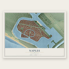
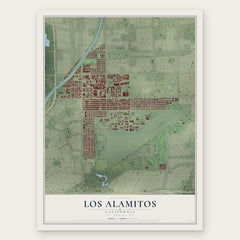
More maps nearby: Belmont Shore, Westminster, Cypress, Midway City and Hawaiian Gardens.
The art of mapping a place
How This Map Was Made
Real places. Remarkable detail. Discover the layers that turn geographic data into a map of home.

The view from above
Aerial imagery reveals the character of the land: woodland, open fields, and the patterns of a place.

The shape of the land
Elevation data brings hills, valleys, and subtle changes in the landscape into view.

The details of home
Roads, waterways, and building footprints come together to make the map feel unmistakably local.

Geography becomes art
Considered color, shading, and typography bring the layers together in a map made for your wall.


Process illustrated with Mendon, Massachusetts. Aerial imagery: USDA NAIP. Terrain: USGS 3D Elevation Program. Map details and finished artwork: KNOWOL.
The Details
About This Print
Choose an archival matte print, or a black or white Ayous wood frame. The archival matte print is unframed.
Select your size and finish above to see the matching product image and price.
Materials & Craftsmanship
A contemporary map with the character of a classic atlas, printed on archival matte paper. Optional frames are made from Ayous wood.
Your printed map does not include the watermark shown in the full-map preview.
Shipping & Delivery
Free shipping within the United States. Every print is made to order in the USA.
Buying a gift? Add a note in your cart and we'll include it. We never put prices in the package.
Prints ship within 2 to 3 business days. Allow 7 to 10 days total from ordering for delivery. Timing may vary during holidays or periods of high order volume.
Read our shipping policy.
Returns and damaged prints
Each print is made to order. Change-of-mind refunds are not available after production.
If your print arrives damaged, misprinted or incorrect, contact support@knowol.com within 30 days of receiving it. Include your order number, photos and a description of the issue.
Read our full refund and replacement policy. For questions about your order, email support@knowol.com.