
Search for another town


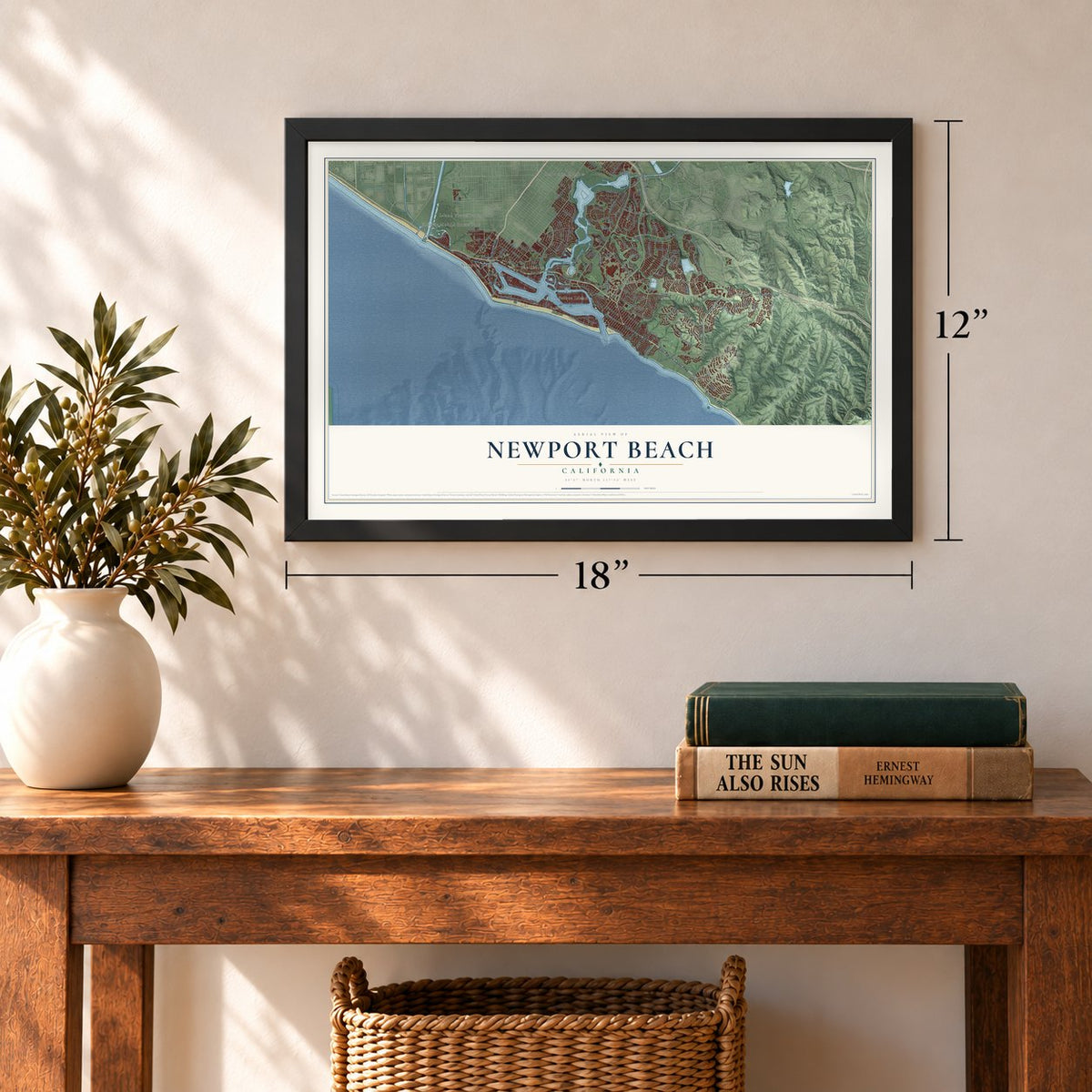
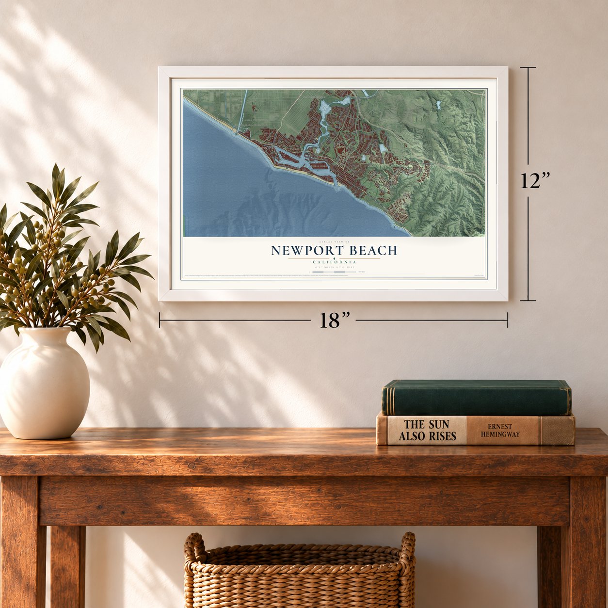
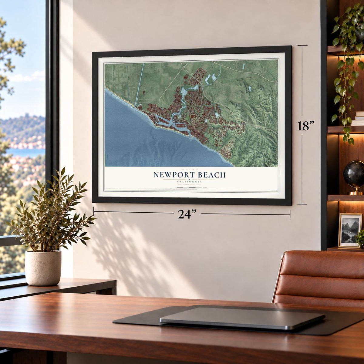
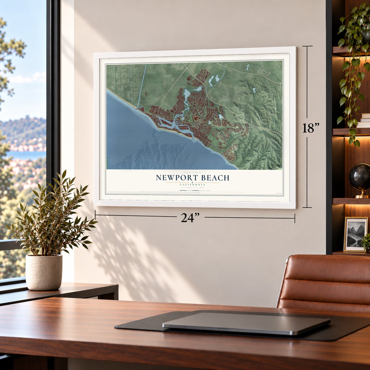
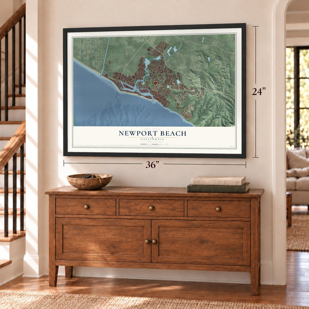
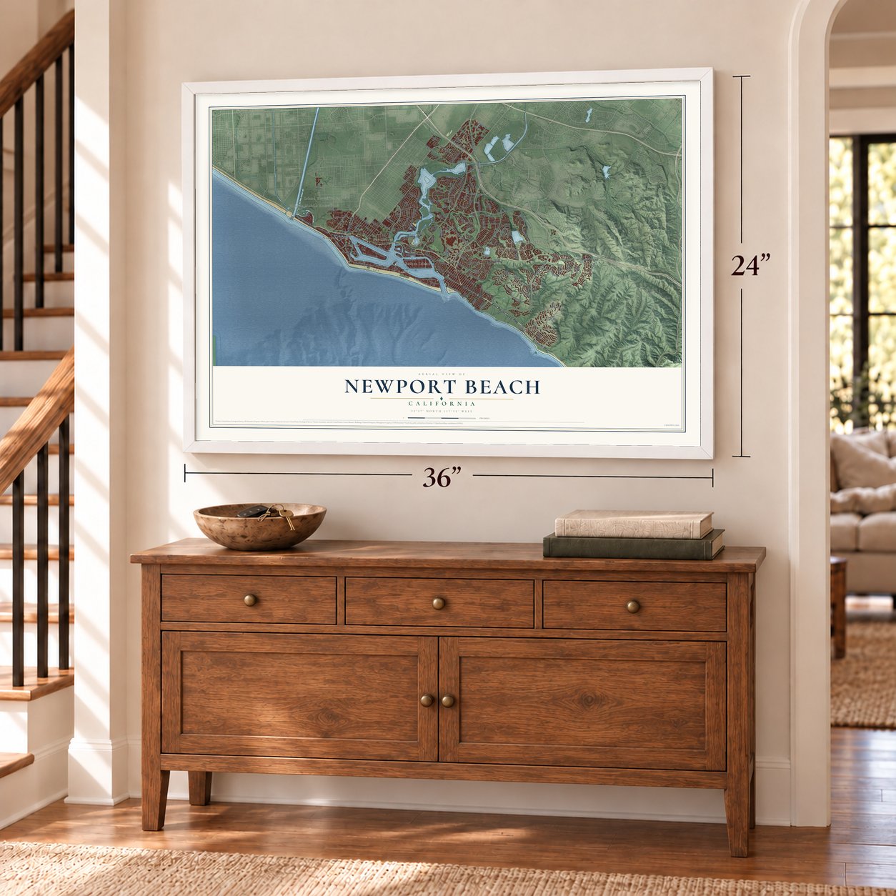
Free U.S. delivery 7 to 10 days after you order
Newport Beach, California Map Art
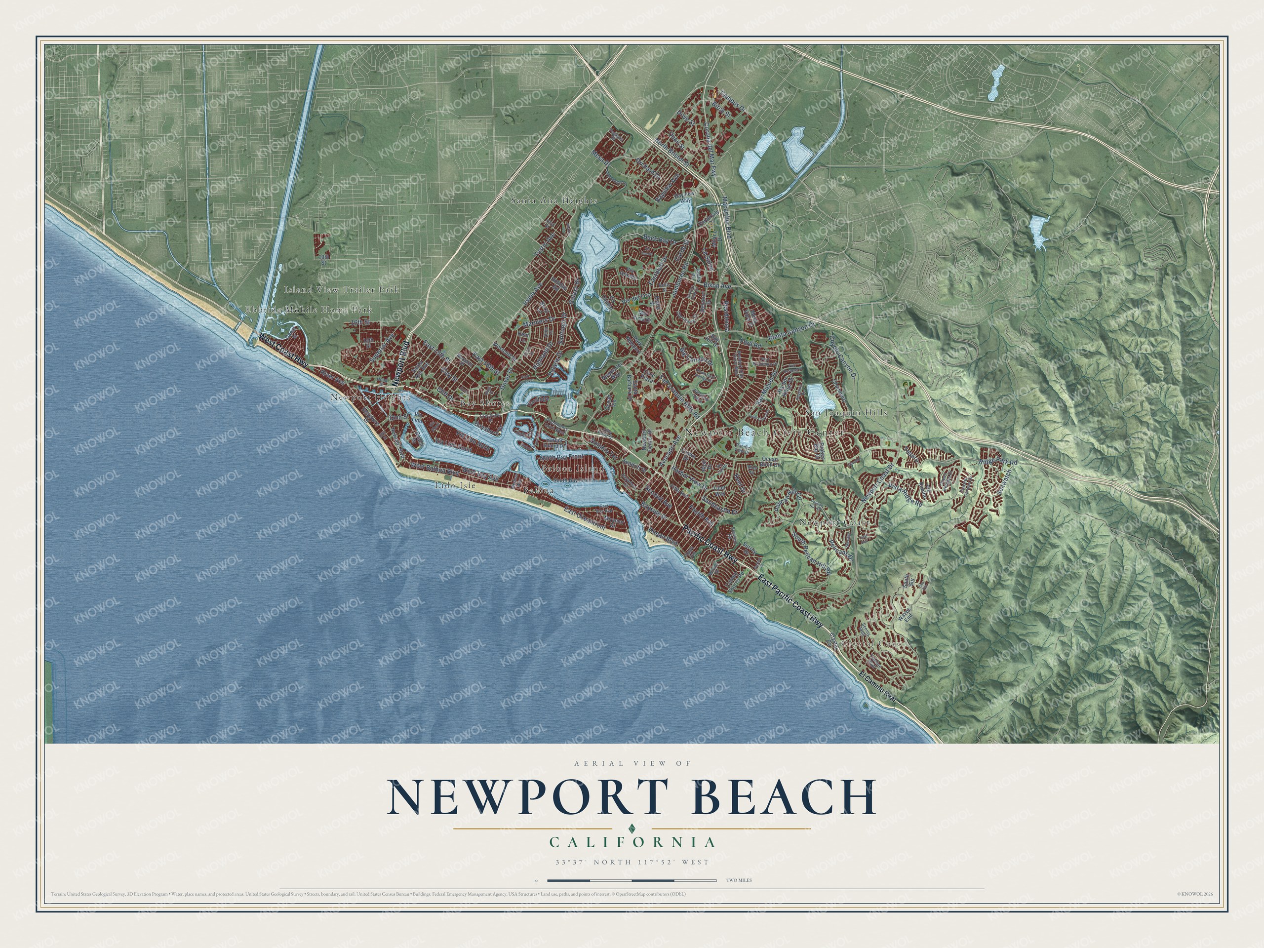
A new map of Newport Beach, California, made in 2026 and printed to order on thick archival matte paper.
12" x 18" Archival Matte Print
A Map of Home. A Work of Art.
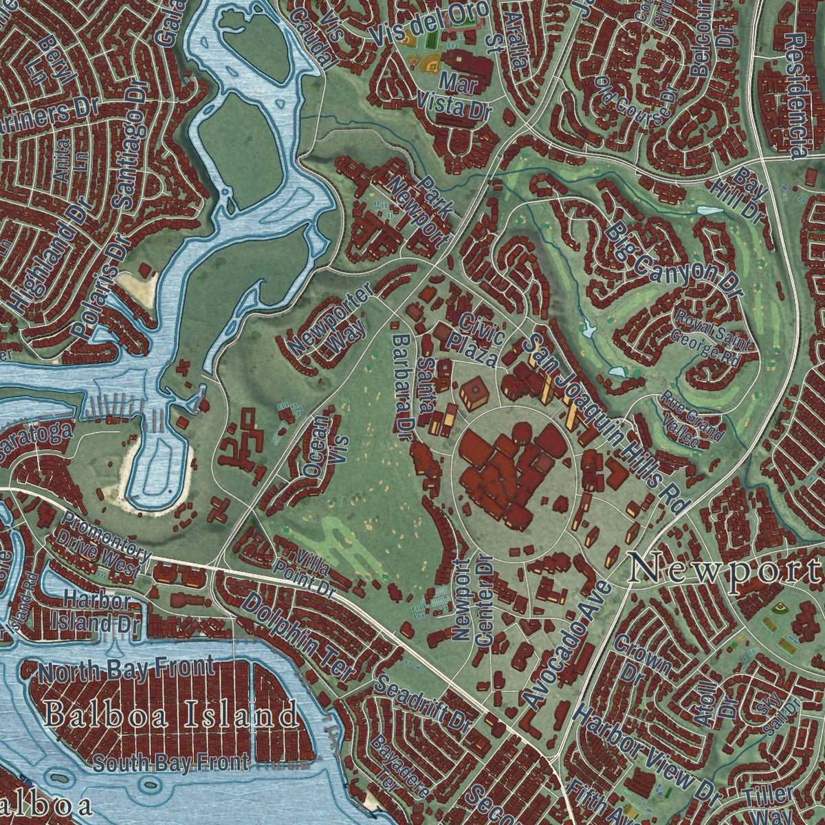
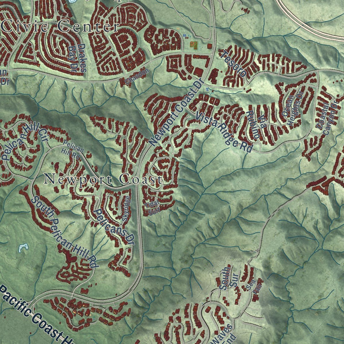
Explore Newport Beach, California from a whole new perspective. Created using aerial imagery and detailed geographic data, this map captures Newport Beach building by building, with labeled streets, familiar landmarks, and shaded topographical relief that highlights the natural contours of the landscape.
Combining modern data with the timeless character of a vintage atlas, this map is just as interesting up close as it is beautiful on the wall. Whether you grew up in Newport Beach, spent memorable years there, or call it home today, this unique map is a great way to celebrate a place that means something to you. Zoom in on the preview to look for your street, and then order a print to put your memories on the wall.
Three ways to hang it
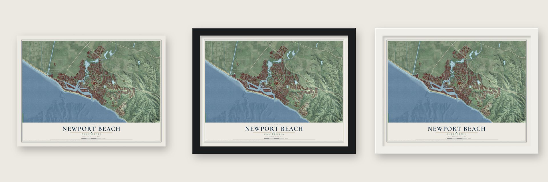
Unframed archival matte, a black wood frame or a white wood frame.
Up close
Geography Worth Displaying
This map was created using accurate cartographic data and authoritative geographic sources, including the U.S. Geological Survey and the Census Bureau. The map brings together terrain, waterways, roads, and building detail. The majority of the streets are labeled, houses are accurately depicted, and the topography is derived from government sources. Combining local data with carefully composed color and shading leads to this beautifully detailed Newport Beach artwork for your wall.
Rather than simply showing street outlines, we’ve included as many of the street names as we could reasonably fit on the map while keeping their names legible. Zoom in on the high resolution preview to see exactly what’s on the map. We truly set out to create a statement piece for anyone who loves Newport Beach. So whether it’s for you, or a gift for someone you love, we hope this map of Newport Beach brings back fond memories.
Read the story behind this map of Newport Beach, California from 2026.

About Newport Beach, California
Newport Beach is a city of 85,239 people in Orange County, some 40 miles down the coast from Los Angeles. The Tongva villages of Genga and Moyongna once stood here, until Spanish, Mexican and then American settlers pushed the Tongva off the land. In 1870 Captain Samuel S. Dunnells ignored warnings from surveyors and steered the 105-ton steamer Vaquero through both the lower and upper bay, where he safely unloaded his cargo.
When James Irvine heard the news, he left San Francisco, where he lived, and rushed down to the San Joaquin Ranch. At his ranch house he met with his brother Robert and their friend James McFadden, and the three agreed to call the new port simply Newport. McFadden built a long wharf in 1888 that turned the place into a shipping hub. In 1905 the Pacific Electric Railway brought its line from downtown Los Angeles, and in 1906 the scattered settlements, home to 206 people, joined as the City of Newport Beach.
- A harbor dug from a bayCrews dredged the Newport Bay estuary in the early 1900s and built islands that are now lined with homes, among them Balboa Island, Little Balboa Island, Lido Isle, Linda Isle and Newport Island. The harbor once kept boatbuilders, shipbuilders and fishing crews busy. Today it holds about 9,000 boats, and its Christmas Boat Parade has been held every year since 1908.
- The Balboa PavilionThe Balboa Pavilion and the Balboa Island Ferry are the best known landmarks on the Balboa Peninsula. Next to the Pavilion, the 500-passenger Catalina Flyer makes a daily run to Avalon on Santa Catalina Island, and the Balboa Fun Zone nearby houses the Newport Harbor Nautical Museum.
- The China House of 1927In 1927 a house built in traditional Chinese style went up at the mouth of the harbor entrance, and it gave China Cove its name. It stood as a harbor landmark until it was torn down in the 1980s, but part of its original roof survives on a home in the cove.
- Corona del Mar joins in 1923The city grew along the coast by taking in its neighbors. Corona del Mar was annexed in 1923, and Newport Coast, East Santa Ana Heights and the San Joaquin Hills followed in 2002. West Santa Ana Heights came last, in 2008, after a long fight with the city of Costa Mesa.
Find your street
Names on the Newport Beach map
Every name below is printed on this map. Look for your street, your school, the park where you played, or the pond down the road.
Places and landmarks12
- Newport Beach Civic Center
- Crystal Cove
- Balboa
- Balboa Island
- Bay Shores
- Ebbtide Mobile Home Park
- Island View Trailer Park
- Lido Isle
- Newport Coast
- Newport Heights
- San Joaquin Hills
- Santa Ana Heights
Streets and roads164
- Newport Boulevard
- East Pacific Coast Highway
- Pacific Coast Highway
- West Coast Highway
- West Balboa Boulevard
- Ford Road
- Big Canyon Drive
- Bison Avenue
- Santiago Drive
- Bonita Canyon Drive
- East Oceanfront
- Corona del Mar Fwy
- Macarthur Boulevard
- Jamboree Road
- Newport Coast Drive
- Irvine Avenue
- San Joaquin Hills Road
- Back Bay Drive
- Bayside Drive
- Vis del Oro
- Dover Drive
- San Miguel Drive
- Ridge Park Road
- Tustin Avenue
- Campus Drive
- Coyote Canyon Drive
- Vista Ridge Road
- Cliff Drive
- Birch Street
- Eastbluff Drive
Show all 164 streets
- Galaxy Drive
- Avocado Avenue
- East 15th Street
- Sandcastle Drive
- South Pelican Hill Road
- Via Lido Soud
- Clay Street
- Highland Drive
- Mesa Drive
- Via Lido Nord
- Mariners Drive
- Superior Avenue
- West Bay Avenue
- Dove Street
- Ocean Boulevard
- Second Avenue
- Pelican Hill Circle
- River Avenue
- Fourth Avenue
- North Bristol Street
- Orchard Drive
- Quail Street
- North Bay Front
- East 16th Street
- La Salud
- Residencia
- Seawatch
- Pelicans Drive
- Polaris Drive
- Bayshore Drive
- Harbor View Drive
- 16th Street
- Dolphin Terrace
- 32nd Street
- Bayview Avenue
- Carob Street
- Keel Drive
- Tesoro
- El Camino Real
- Drakes Bay Drive
- Seashore Drive
- Newport Center Drive
- Santa Ana Avenue
- Chambord
- Park Newport
- University Drive
- South Bay Front
- Belcourt Drive
- Harbor Ridge Drive
- Fifth Avenue
- Westcliff Drive
- Holiday Road
- Linda Isle
- Crystal Cv
- Miramar Drive
- Santa Barbara Drive
- Mesa View Drive
- Via Lido
- Mar Vista Drive
- 15th Street
- Waves End
- Vis Caudal
- Cameo Shores Road
- Harbor Island Drive
- Newporter Way
- Milano Drive
- 19th Street
- Vis Grande
- Surrey Drive
- Canal Street
- Seadrift Drive
- Ocean Vis
- Aralia Street
- Crown Drive
- Bay Hill Drive
- Tiller Way
- Saratoga
- South Sur
- Ocean Birch Drive
- Bayview Way
- Via Rubino
- Beryl Lane
- Celtis Place
- Beach Drive
- Civic Plaza
- Kent Lane
- Atoll Drive
- Newport Hills Drive West
- East Bay Avenue
- Ocean Heights Drive
- Old Course Drive
- Promontory Drive West
- Poppy Avenue
- Seaward Road
- Hoag Drive
- Pacific View Drive
- 23rd Street
- Bayadere Terrace
- Coastal Canyon Drive
- Port Provence Place
- Villa Point Drive
- Crestview Drive
- Milford Drive
- Margaret Drive
- Scenic Bluff
- Bellis Street
- Pegasus Street
- Anita Lane
- Tideline Bluff
- Medina Way
- Blue Ky
- Via Eboli
- Sky Sail Drive
- Pelican Hill Road
- Ridgeline Drive
- Royal Saint George Road
- Skyridge
- Yacht Coquette
- Harbor Island Road
- Anniversary Lane
- Port Durness Place
- Kings Place
- 29th Street
- Cape Andover
- Rue Grand Vallee
- Chandon
- Country Club Drive
- Vis Suerte
- Heather Lane
- Coral Place
- Garrett Drive
- Devon Lane
- Tidal Surf
- Sea Fair
Names are listed as they appear on the printed map. Zoom into the product photos to find them.
The art of mapping a place
How This Map Was Made
Real places. Remarkable detail. Discover the layers that turn geographic data into a map of home.

The view from above
Aerial imagery reveals the character of the land: woodland, open fields, and the patterns of a place.

The shape of the land
Elevation data brings hills, valleys, and subtle changes in the landscape into view.

The details of home
Roads, waterways, and building footprints come together to make the map feel unmistakably local.

Geography becomes art
Considered color, shading, and typography bring the layers together in a map made for your wall.


Process illustrated with Mendon, Massachusetts. Aerial imagery: USDA NAIP. Terrain: USGS 3D Elevation Program. Map details and finished artwork: KNOWOL.
The Details
About This Print
Choose an archival matte print, or a black or white Ayous wood frame. The archival matte print is unframed.
Select your size and finish above to see the matching product image and price.
Materials & Craftsmanship
A contemporary map with the character of a classic atlas, printed on archival matte paper. Optional frames are made from Ayous wood.
Your printed map does not include the watermark shown in the full-map preview.
Shipping & Delivery
Free shipping within the United States. Every print is made to order in the USA.
Buying a gift? Add a note in your cart and we'll include it. We never put prices in the package.
Prints ship within 2 to 3 business days. Allow 7 to 10 days total from ordering for delivery. Timing may vary during holidays or periods of high order volume.
Read our shipping policy.
Returns and damaged prints
Each print is made to order. Change-of-mind refunds are not available after production.
If your print arrives damaged, misprinted or incorrect, contact support@knowol.com within 30 days of receiving it. Include your order number, photos and a description of the issue.
Read our full refund and replacement policy. For questions about your order, email support@knowol.com.
Find your town
Looking for another city?
Find a map of home in our California collection, or any town in the country.
Nearby
Maps of towns near Newport Beach
Know someone from one of these towns? Their map makes a great gift.
 Costa Mesa
, California
From $39.99See the map
 Irvine
, California
From $39.99See the map
 Fountain Valley
, California
From $39.99See the map
More maps nearby: Santa Ana, Laguna Woods, Tustin, Laguna Beach and Aliso Viejo.