
Search for another town




Free U.S. delivery 7 to 10 days after you order
North Tustin, California Map Art
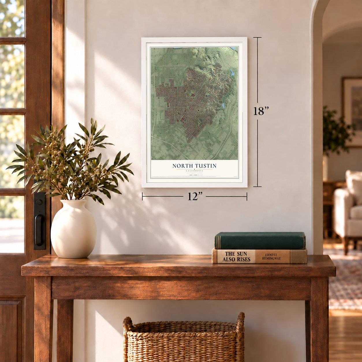
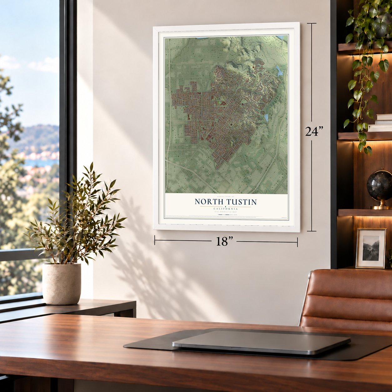
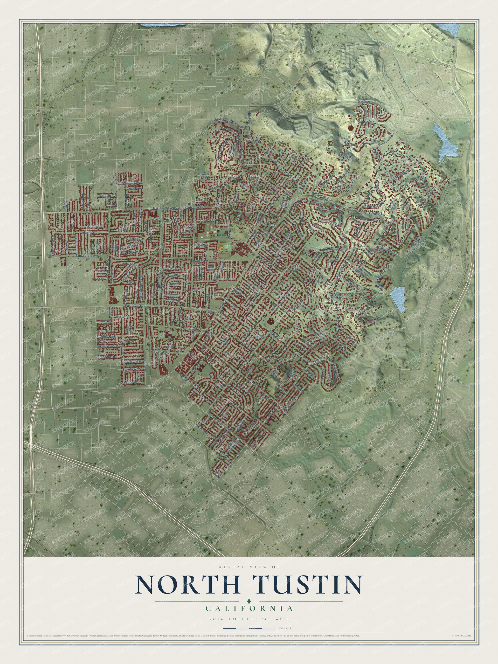
A new map of North Tustin, California, made in 2026 and printed to order on thick archival matte paper.
12" x 18" Archival Matte Print
A Map of Home. A Work of Art.
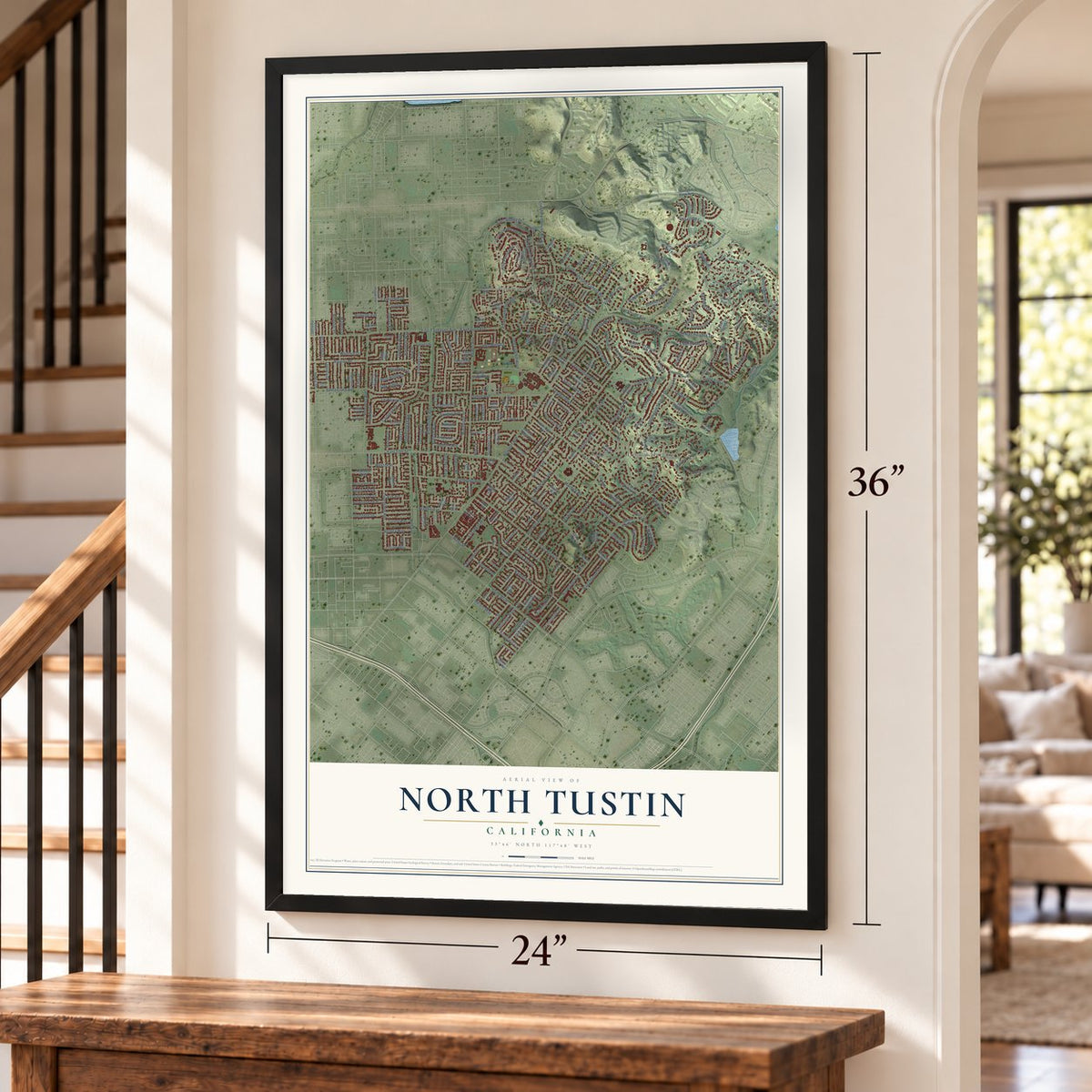
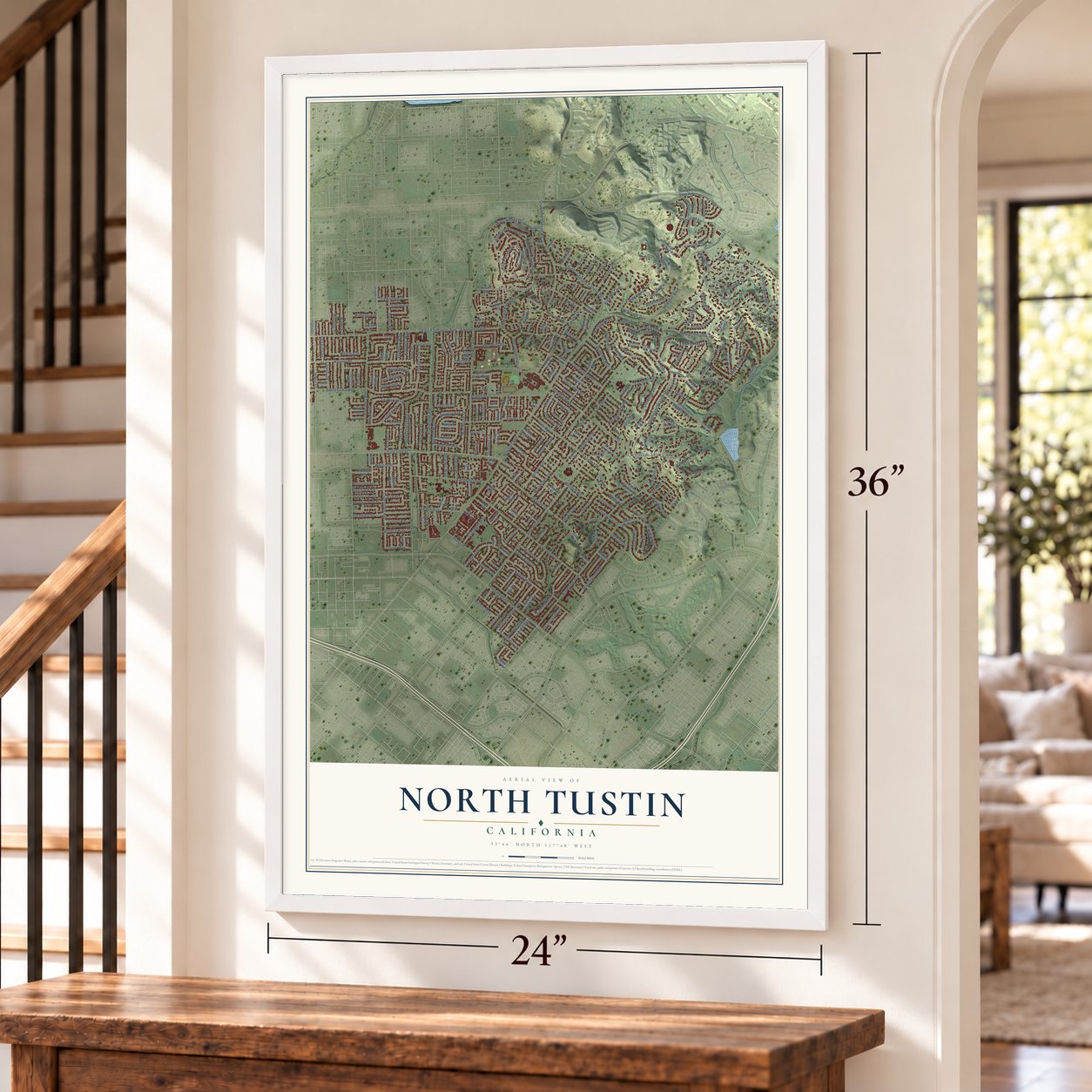
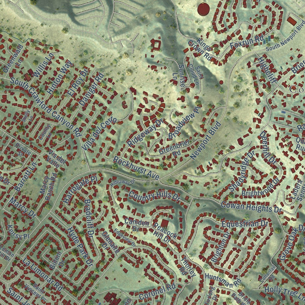
Explore North Tustin, California from a whole new perspective. Created using aerial imagery and detailed geographic data, this map captures North Tustin building by building, with labeled streets, familiar landmarks, and shaded topographical relief that highlights the natural contours of the landscape.
Combining modern data with the timeless character of a vintage atlas, this map is just as interesting up close as it is beautiful on the wall. Whether you grew up in North Tustin, spent memorable years there, or call it home today, this unique map is a great way to celebrate a place that means something to you. Zoom in on the preview to look for your street, and then order a print to put your memories on the wall.
Three ways to hang it
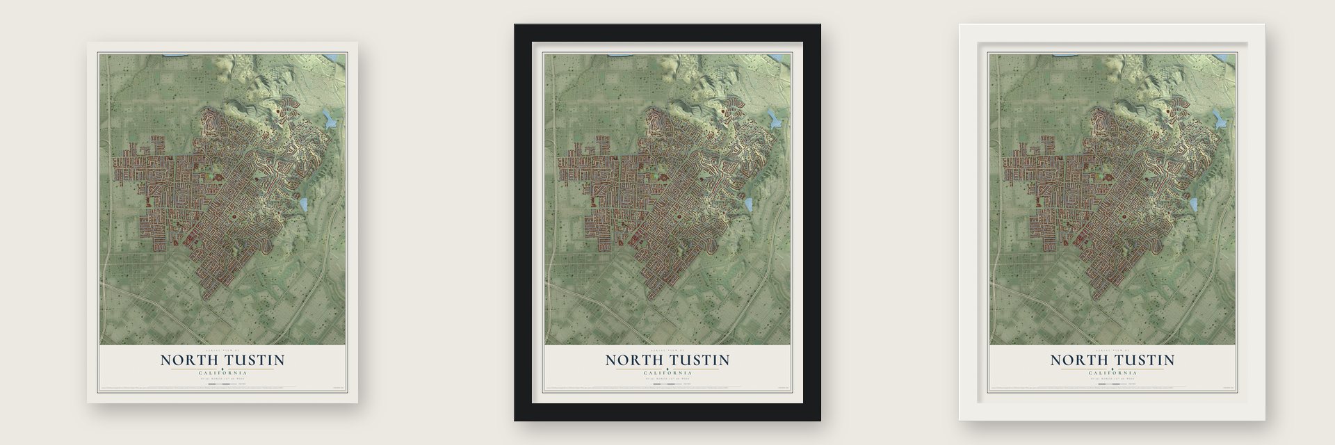
Unframed archival matte, a black wood frame or a white wood frame.
Up close
Geography Worth Displaying
This map was created using accurate cartographic data and authoritative geographic sources, including the U.S. Geological Survey and the Census Bureau. The map brings together terrain, waterways, roads, and building detail. The majority of the streets are labeled, houses are accurately depicted, and the topography is derived from government sources. Combining local data with carefully composed color and shading leads to this beautifully detailed North Tustin artwork for your wall.
Rather than simply showing street outlines, we’ve included as many of the street names as we could reasonably fit on the map while keeping their names legible. Zoom in on the high resolution preview to see exactly what’s on the map. We truly set out to create a statement piece for anyone who loves North Tustin. So whether it’s for you, or a gift for someone you love, we hope this map of North Tustin brings back fond memories.
Read the story behind this map of North Tustin, California from 2026.
About North Tustin, California
From the U.S. Geological Survey: "The name of this community was changed to North Tustin by a vote of its residents in 2004."
Find your street
Names on the North Tustin map
Every name below is printed on this map. Look for your street, your school, the park where you played, or the pond down the road.
Places and landmarks4
- Cowan Heights
- Lemon Heights
- Panorama Heights
- Bigelow Park
Streets and roads304
- Foxrun Road
- Southeast Skyline Drive
- East 17th Street
- Foothill Boulevard
- Newport Avenue
- East Fairhaven Avenue
- Fairhaven Avenue
- Prospect Avenue
- Barrett Lane
- Red Hill Avenue
- Browning Avenue
- Arroyo Avenue
- Overhill Drive
- Irvine Boulevard
- La Colina Drive
- Circula Panorama
- Cowan Heights Drive
- Hewes Avenue
- Crawford Canyon Road
- South Crawford Canyon Road
- Holt Avenue
- Newport Boulevard
- Santa Clara Avenue
- Skyline Drive
- Esplanade Avenue
- Rainier Drive
- Dodge Avenue
- Brier Lane
- La Loma Drive
- Rangeview Drive
Show all 304 streets
- Eton Place
- Woodlawn Avenue
- Livingston Avenue
- Equestrian Drive
- Dall Lane
- Ranchwood Road
- Fairhaven Extended
- Old Foothill Boulevard
- Malena Drive
- Gershon Place
- Ervin Lane
- Sierra Alta Drive
- Vanderlip Avenue
- Coronel Road
- Rainbow Drive
- Wheeler Place
- Windsor Lane
- Allegheny Drive
- Winthrope Street
- Timberline Lane
- Brenan Way
- Oak Ridge Drive
- Yorba Street
- Sirrine Drive
- Leafwood Lane
- Theodora Drive
- Bent Tree Road
- Loretta Drive
- Dean Street
- Brittany Woods Drive
- Flint Drive
- Olympia Way
- Charloma Drive
- Whitney Drive
- Holly Tree Lane
- Derby Drive
- Gimbert Lane
- Villa del Cerro
- Grove Oak Drive
- Ethelbee Way
- Dunas Road
- Kootenay Drive
- Carlsbad Drive
- Bow Place
- Salt Air Drive
- La Limonar Road
- Fairmont Way
- Mira Vista Drive
- Deerhaven Drive
- Pavillion Drive
- Warren Avenue
- Rockhurst Avenue
- Palomar Way
- Kenneth Drive
- Shadyridge Drive
- Hinton Way
- Saint John Place
- Romelle Avenue
- Sanderstead Road
- Rosalind Drive
- Blue Ridge Drive
- Limetree Drive
- Bradcliff Drive
- Elizabeth Way
- East Smiley Drive
- Cielo Place
- Country Hills Drive
- Weston Place
- Hyde Park Drive
- Racquet Hill
- Wass Street
- Alta Panorama
- Sky Lane
- Broadview Place
- Daniger Road
- Mardick Road
- Ridgeway Drive
- Plantero Drive
- Heathcliff Drive
- Larkstone Drive
- Deep Well Road
- Omega Drive
- El Roy Drive
- Beneta Way
- Auburn Avenue
- Lillian Way
- Vis Mar
- Stratton Way
- Bent Twig Lane
- Skyway Drive
- Lerner Lane
- Orangeview Road
- Highcliff
- Melvin Way
- Vis del Lago
- Saugus Avenue
- Willis Lane
- Harrogate Place
- Liane Lane
- Windsor Place
- Mauve Drive
- Marcy Drive
- Deerhill Drive
- Saigon Lane
- Hilo Lane
- Kings Crown Road
- Laurinda Way
- Flaminian Way
- Circula Panorama Place
- Lemon Heights Drive
- Sunrise Lane
- Sandhurst Place
- Vis Panorama
- Bubbling Well Road
- Clarissa Lane
- Norwood Park Place
- Eveningside Drive
- Bullard Lane
- Hickory Branch Road
- La Vereda Drive
- Greenbrier Road
- Wellington Avenue
- Marble Arch Drive
- Fowler Avenue
- Bimini Drive
- Gramercy Drive
- Ladera Senda
- Brightwood Drive
- Chirping Sparrow Way
- Silver Maple Way
- Lambeth Way
- Del Rey Drive
- Shady Canyon Road
- Country Lane
- Zig Zag Way
- Peacock Hill Drive
- Lower Lake Drive
- Belle Rive
- Shasta Way
- Lassen Drive
- Artnell Road
- La Loma Road
- Beverly Glen Drive
- Simon Ranch Road
- Lucero Way
- View Ridge Drive
- Boca Canyon Drive
- Saint Jude Drive
- Terry Lynn Drive
- Orange Tree Lane
- Arbolada Way
- Thorley Road
- Judy Anne Lane
- Las Luces
- Newton Avenue
- Murray Lane
- Marcy Ranch Road
- Tea House Street
- Huntsman Road
- Park Skyline Road
- Shepard Way
- Brighton Drive
- Yellowstone Drive
- Casselle Avenue
- Norfolk Drive
- Canyon View Avenue
- Valhalla Drive
- Kenwood Lane
- Sierra Madre Drive
- Huntridge Road
- Loma Roja
- Orange Knoll Drive
- Joshua Lane
- Greenwald Lane
- Spaulding Avenue
- Wexford Court
- Saint Thomas Drive
- Lindale Lane
- Squires Drive
- Las Brisas Drive
- Kirk Avenue
- Burnt Mill Road
- Keirsy Place
- South Yorba Street
- Saint Regis Place
- Redberry Road
- Vis del Valle
- Glenaire Drive
- Miralago Place
- Camden Drive
- Addison Road
- Linda Lane
- Muriel Place
- Risa Place
- Oak Lane
- Colony Drive
- Villa Rose Drive
- Stearns Drive
- Vayano Way
- Ehlen Way
- Jane Circle
- Luna Lane
- Canyon Terrace
- Vale Avenue
- Napa Street
- Leon Place
- Ellmar Circle
- Regis Way
- Barry Lane
- Quail Run
- Elite Drive
- Vera Street
- Sussex Place
- Singing Wood Drive
- Howland Way
- South Prospect Street
- Brentwood Drive
- Smoke Tree Lane
- Cameo Drive
- Chaplet Place
- Resevoir Road
- South Newport Boulevard
- Darmel Place
- Willow Glenn Circle
- Saint Cloud Lane
- Beachmont Avenue
- Bridle Path Way
- Furlong Drive
- Appian Way
- Kensing Lane
- Cabaret Court
- Rebecca Lane
- Saint Vincent Place
- Miriam Place
- Lemon Hill Drive
- Laurie Lane
- Panorama Crst
- Ranch Hill
- Lemona Lane
- Saint Marks Drive
- Loma Verde Lane
- Stoller Lane
- Orvillina Drive
- County Lane
- La Sierra Place
- McLean Drive
- Roane
- Covey Lane
- Private Street
- Eddy Drive
- Brae Glen
- Doe Run
- Castlegate Lane
- Cameron Lane
- Deborah Drive
- Hideaway Drive
- Triumphal Way
- Gladstone Drive
- Suburnas Way
- Bonita Heights Drive
- Riverford Road
- Edgeview Drive
- Cottontail Road
- Azusa Circle
- Stanton
- El Camino Lane
- Afton Lane
- Tustin Pines Way
- Skyline Vw
- Gylah Lane
- Wreath Place
- Lurline Lane
- Shelly Lane
- Cll Roja
Names are listed as they appear on the printed map. Zoom into the product photos to find them.
The art of mapping a place
How This Map Was Made
Real places. Remarkable detail. Discover the layers that turn geographic data into a map of home.

The view from above
Aerial imagery reveals the character of the land: woodland, open fields, and the patterns of a place.

The shape of the land
Elevation data brings hills, valleys, and subtle changes in the landscape into view.

The details of home
Roads, waterways, and building footprints come together to make the map feel unmistakably local.

Geography becomes art
Considered color, shading, and typography bring the layers together in a map made for your wall.


Process illustrated with Mendon, Massachusetts. Aerial imagery: USDA NAIP. Terrain: USGS 3D Elevation Program. Map details and finished artwork: KNOWOL.
The Details
About This Print
Choose an archival matte print, or a black or white Ayous wood frame. The archival matte print is unframed.
Select your size and finish above to see the matching product image and price.
Materials & Craftsmanship
A contemporary map with the character of a classic atlas, printed on archival matte paper. Optional frames are made from Ayous wood.
Your printed map does not include the watermark shown in the full-map preview.
Shipping & Delivery
Free shipping within the United States. Every print is made to order in the USA.
Buying a gift? Add a note in your cart and we'll include it. We never put prices in the package.
Prints ship within 2 to 3 business days. Allow 7 to 10 days total from ordering for delivery. Timing may vary during holidays or periods of high order volume.
Read our shipping policy.
Returns and damaged prints
Each print is made to order. Change-of-mind refunds are not available after production.
If your print arrives damaged, misprinted or incorrect, contact support@knowol.com within 30 days of receiving it. Include your order number, photos and a description of the issue.
Read our full refund and replacement policy. For questions about your order, email support@knowol.com.
Find your town
Looking for another city?
Find a map of home in our California collection, or any town in the country.
Nearby
Maps of towns near North Tustin
Know someone from one of these towns? Their map makes a great gift.
 El Modena
, California
From $39.99See the map
 Tustin
, California
From $39.99See the map
 Orange Park Acres
, California
From $39.99See the map
More maps nearby: Villa Park, Orange, Santa Ana, Irvine and Anaheim.