
Search for another town

Free U.S. delivery 7 to 10 days after you order
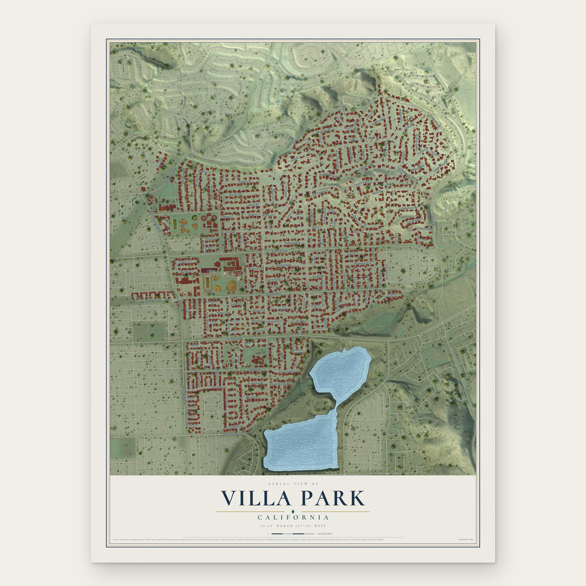
Villa Park, California Map Art
Building by building, with labeled streets and shaded relief.
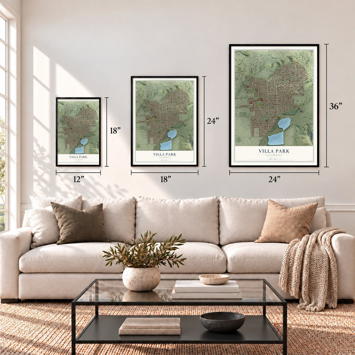
12" x 18" Archival Matte Print
A Map of Home. A Work of Art.
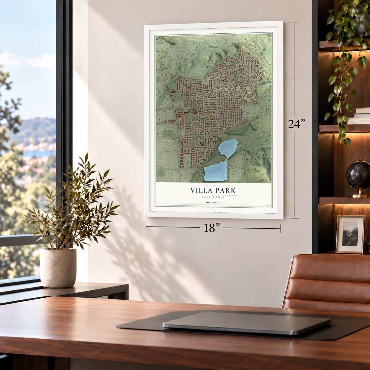
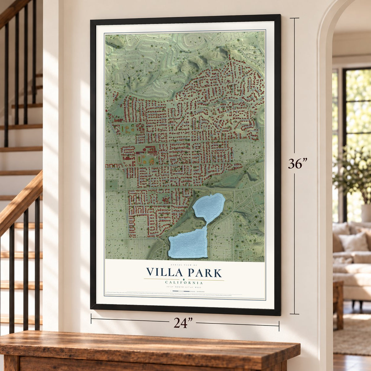
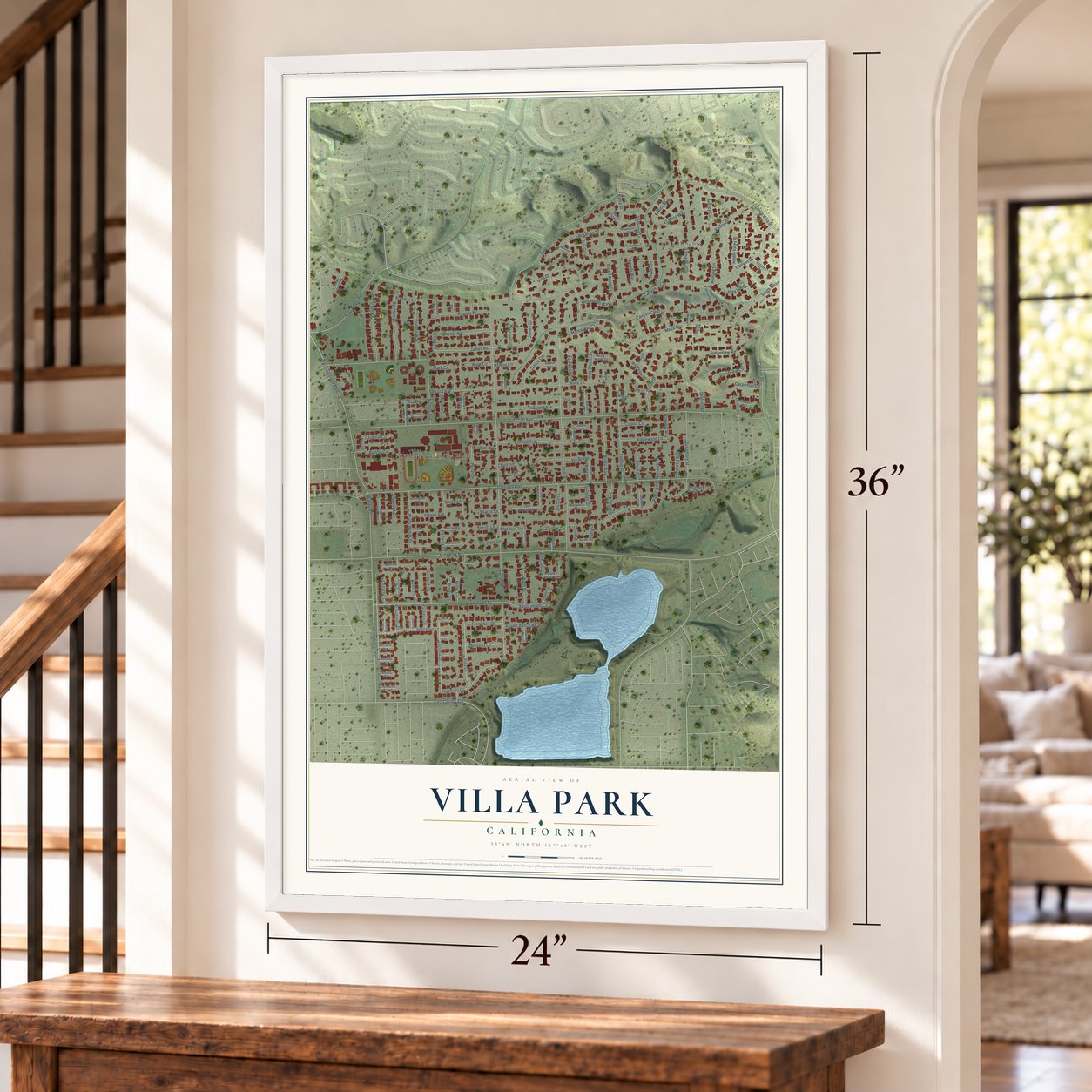
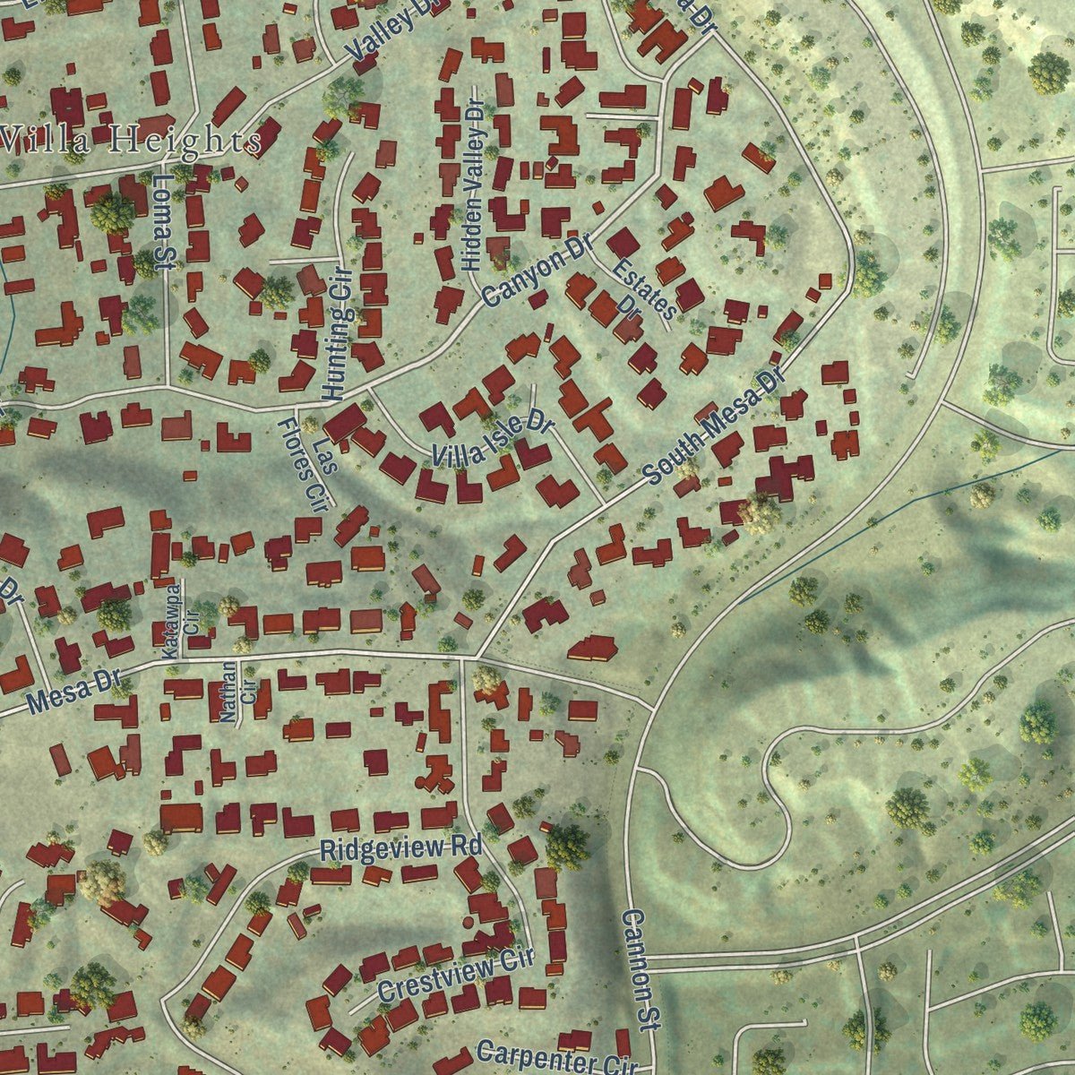
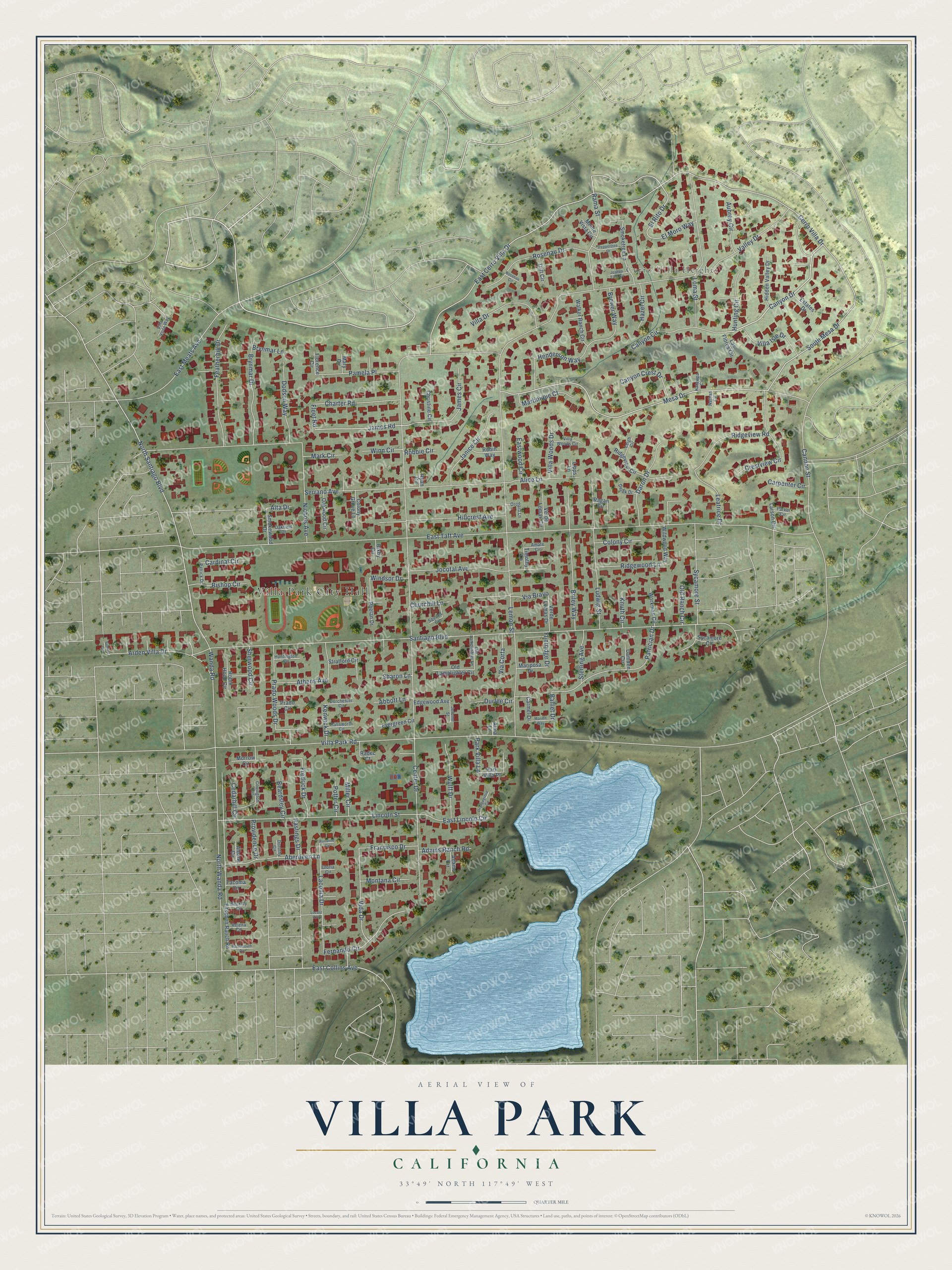
Explore Villa Park, California from a whole new perspective. Created using aerial imagery and detailed geographic data, this map captures Villa Park building by building, with labeled streets, familiar landmarks, and shaded topographical relief that highlights the natural contours of the landscape.
Combining modern data with the timeless character of a vintage atlas, this map is just as interesting up close as it is beautiful on the wall. Whether you grew up in Villa Park, spent memorable years there, or call it home today, this unique map is a great way to celebrate a place that means something to you. Zoom in on the preview to look for your street, and then order a print to put your memories on the wall.
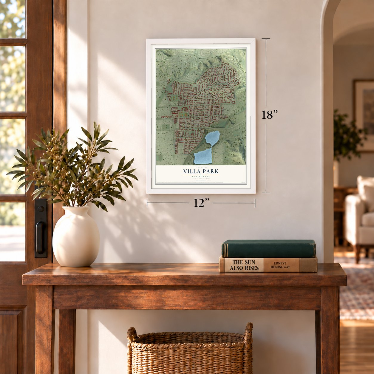
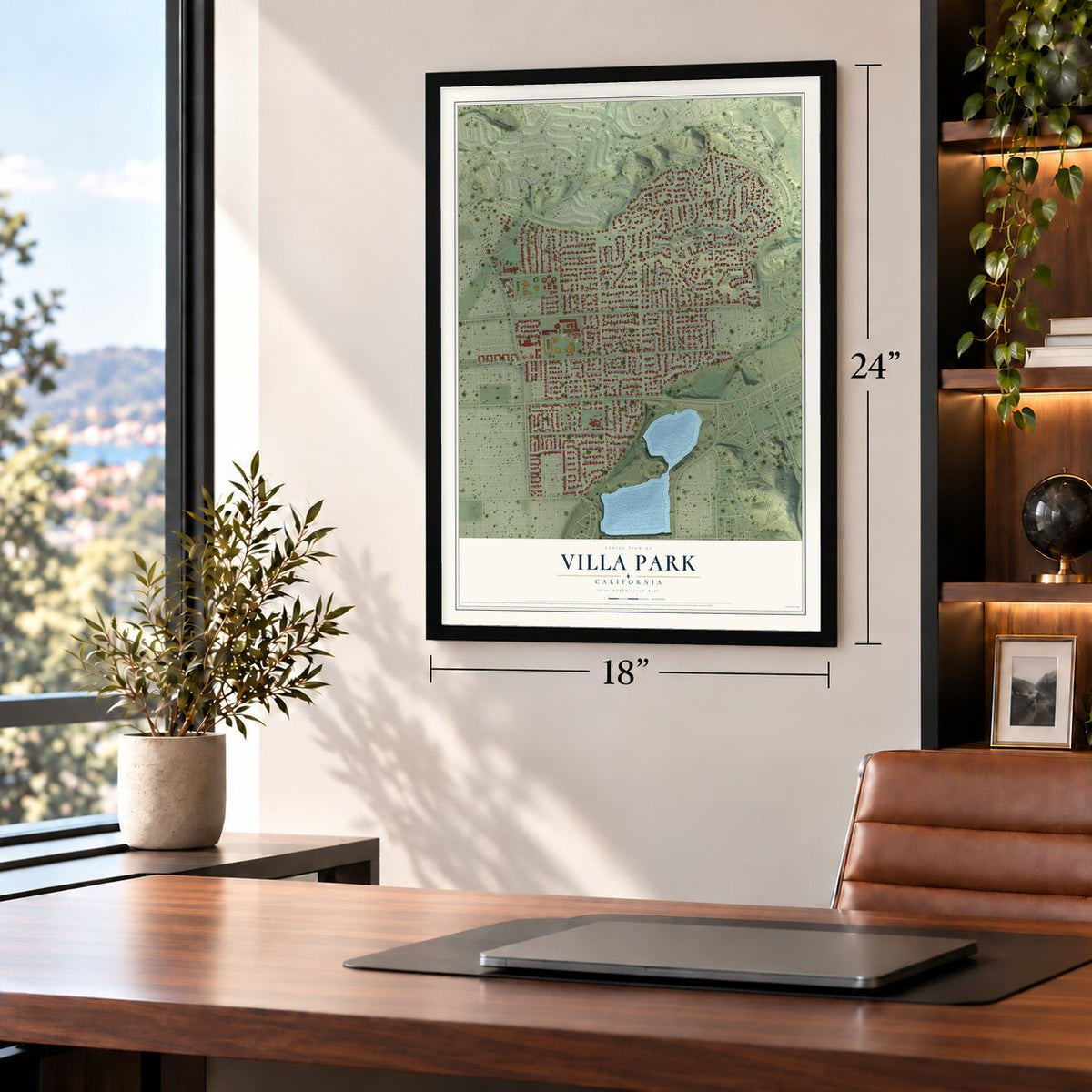
Three ways to hang it
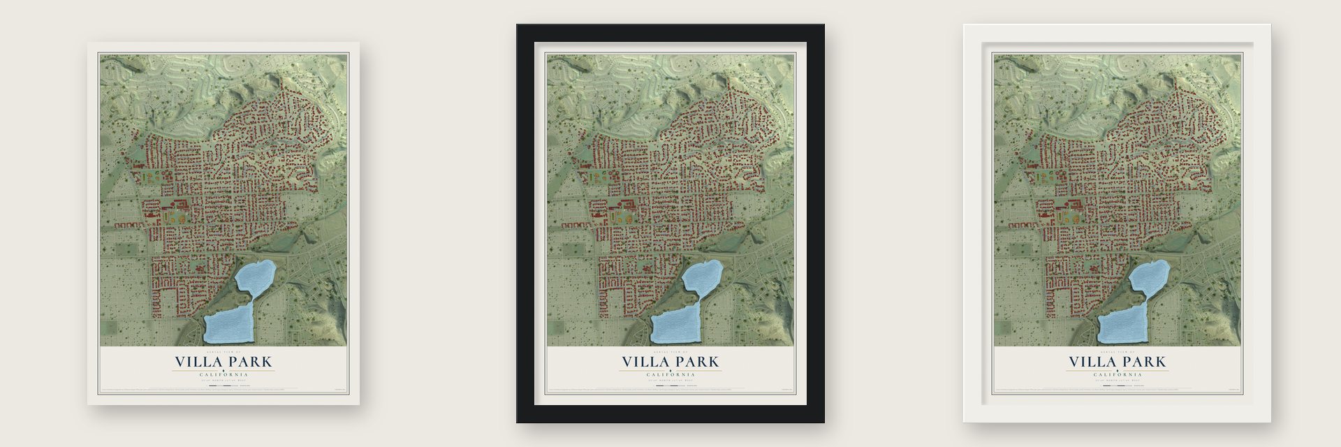
Unframed archival matte, a black wood frame or a white wood frame.
Up close
Geography Worth Displaying
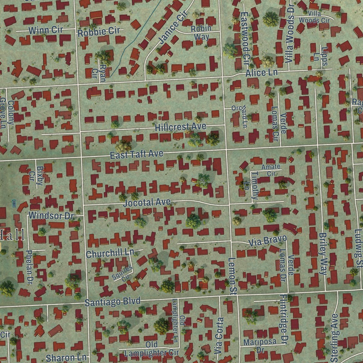
This map was created using accurate cartographic data and authoritative geographic sources, including the U.S. Geological Survey and the Census Bureau. The map brings together terrain, waterways, roads, and building detail. The majority of the streets are labeled, houses are accurately depicted, and the topography is derived from government sources. Combining local data with carefully composed color and shading leads to this beautifully detailed Villa Park artwork for your wall.
Rather than simply showing street outlines, we’ve included as many of the street names as we could reasonably fit on the map while keeping their names legible. Zoom in on the high resolution preview to see exactly what’s on the map. We truly set out to create a statement piece for anyone who loves Villa Park. So whether it’s for you, or a gift for someone you love, we hope this map of Villa Park brings back fond memories.
Read the story behind this map of Villa Park, California from 2026.
Find your street
Names on the Villa Park map
Every name below is printed on this map. Look for your street, your school, the park where you played, or the pond down the road.
Places and landmarks2
- Villa Park City Hall
- Cerro Villa Heights
Streets and roads176
- Canyon Drive
- James Road
- East Collins Avenue
- Mesa Drive
- El Rito Drive
- Santiago Boulevard
- East Taft Avenue
- Center Drive
- Cerro Villa Drive
- East Cerro Villa Drive
- Valley Drive
- South Mesa Drive
- Lemon Street
- Serrano Avenue
- Villa Park Road
- North Wanda Road
- North Santiago Boulevard
- Lincoln Street
- Loma Street
- Ludwig Street
- Briley Way
- Jocotal Avenue
- Patrician Drive
- East Meats Avenue
- Arden Villa Drive
- Hillcrest Avenue
- Featherhill Drive
- Crestview Circle
- Prado Woods Drive
- Rosenau Drive
Show all 176 streets
- Laconia Drive
- Sycamore Street
- Canyon Circle
- Rama Street
- Nichols Avenue
- Brynmar Drive
- Cannon Street
- Fernando Circle
- Aberdeen Lane
- Henderson Way
- Vida Drive
- Daron Drive
- Villa Drive
- Janice Circle
- Charter Road
- Pamela Place
- Ridgeview Road
- Dodson Way
- Brewer Way
- Wulff Drive
- Via Bravo
- James Circle
- Alice Lane
- Villa Isle Drive
- East Lincoln Circle
- Leatrice Drive
- Fredrick Drive
- Ridgewood Lane
- Canyon Crest Drive
- Martinique Court
- Francisco Drive
- Hunting Circle
- Bishop Circle
- Villa Woods Drive
- Sterling Avenue
- Athens Avenue
- Adams Ranch Road
- Aubrey Circle
- Montana Circle
- Eastwood Circle
- Colony Circle
- Hazel Circle
- Durfee Circle
- Cardinal Circle
- Sherwood Circle
- Via Corta
- Carpenter Circle
- Beardsley Circle
- Winn Circle
- Providence Drive
- El Moro Way
- Mark Circle
- Old Ranch Circle
- Abbott Lane
- Churchill Lane
- Miller Circle
- Hastings Drive
- Potter Circle
- Windsor Drive
- Kenwick Drive
- Park Villa Lane
- Knuth Circle
- Cedarhill Circle
- Brynmar Lane
- Flintridge Drive
- Robbie Circle
- Wanda Road
- Sharon Lane
- Balliet Drive
- Fleet Road
- Alta Drive
- Fitschen Ranch Road
- Ridgeview Circle
- Smoketree Lane
- Wildwood Way
- Sycamore Circle
- Hidden Valley Drive
- Stratford Circle
- Walker Ranch Circle
- Morrow Circle
- Phelan Drive
- Old Lamplighter Circle
- Workman Circle
- Verde Lomas Drive
- Oakwood Circle
- Verde Lomas Circle
- Evergreen Circle
- Colony Grove Lane
- Edgewood Avenue
- Smokewood Drive
- Robin Hood Circle
- Robin Way
- Christine Circle
- Mariposa Drive
- Radec Court
- Estates Drive
- Tritt Circle
- Larson Circle
- Ragan Circle
- Carmel Drive
- Las Flores Circle
- Camden Circle
- Prado Circle
- Park Villa Place
- Monte Vista Circle
- Florence Circle
- Albany Circle
- Adams Circle
- Timothy Lane
- Tacoma Circle
- Bixby Circle
- Mary Circle
- Lipps Lane
- Ryan Circle
- Alma Lane
- Old Lamplighter Lane
- Villa Vista Way
- Villa Woods Circle
- Dorchester Circle
- Hallsworth Circle
- Squires Circle
- Orchard Lane
- Huntington Circle
- Oakfield Drive
- Derek Drive
- Amate Circle
- Patrick Drive
- Leigh Circle
- Covington Circle
- Helena Circle
- Jerome Street
- Beckley Circle
- Katawpa Circle
- Parker Circle
- Dorothy Circle
- Nathan Circle
- Gloria Circle
- Peppertree Drive
- Orangegrove Circle
- Portsmouth Circle
- Marion Way
- Joshua Tree Circle
- Sunkist Circle
- Rosanne Circle
- Rosenau Circle
- Locust Avenue
Names are listed as they appear on the printed map. Zoom into the product photos to find them.
About Villa Park, California
Villa Park is a city of 5,843 people in Orange County, and the 2020 census made it the smallest city in the county. Its ground was once part of Rancho Santiago de Santa Ana, the 62,500 acres that the Spanish Empire granted to Jose Antonio Yorba in 1810. That rancho also covered the land where Olive, Orange, Santa Ana, Tustin, Costa Mesa and Newport Beach grew up.
In the 1860s the area was known as Mountain View. The U.S. Post Office rejected that name because Santa Clara County already had a Mountain View, so the local office was named Villa Park, after a town in Illinois, and the whole area took the new name. Farmers raised grapes, then walnuts, then apricots, until citrus became the main crop for about 60 years. Villa Park incorporated as a city in 1962.
- Ranchers' water since 1876Local ranchers formed the Serrano Water District in 1876, and it still supplies Villa Park's water. Today it buys water from Southern California's Metropolitan Water District and keeps it in the Santiago Reservoir. The ranchers also founded the Villa Park Orchards Association, which still does business in Orange. Its packing house was a local landmark until it was torn down in 1983.
- School in a shed, 1880The first Villa Park School began holding classes in 1880 in a small shed, which is long gone. The Villa Park School joined the National Register in 2003. Kevin Costner graduated from Villa Park High School in 1973.
- Passenger trains, 1888 to 1910The Southern Pacific's Tustin Branch carried freight and some passengers past the area. Trains stopped at Marlboro and Gratto stations to the west and at McPherson and El Modena to the south. Passenger service began when the branch opened in 1888 and ended in 1910.
- A sphere lost and restoredBecause the city of Orange surrounds Villa Park on every side, the Orange County Local Agency Formation Commission cut Villa Park's sphere of influence to zero in 2005. Local community leaders protested, and the commission soon gave the sphere back.
Keep exploring California
Villa Park is one of 1,990 California towns we've mapped. Every dot on the map is a print of its own.
The search covers every state, California first.
Near Villa Park
Order 2 or more town maps and save 10%. Shown in the size and finish you picked above, so they hang as a set.
- El Modena 12" x 18" / Archival Matte Print $39.99
- Orange Park Acres 12" x 18" / Archival Matte Print $39.99
- Orange 12" x 18" / Archival Matte Print $39.99
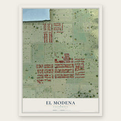
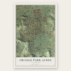
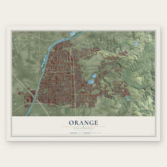
More maps nearby: North Tustin, Anaheim, Placentia, Yorba Linda and Tustin.
The art of mapping a place
How This Map Was Made
Real places. Remarkable detail. Discover the layers that turn geographic data into a map of home.

The view from above
Aerial imagery reveals the character of the land: woodland, open fields, and the patterns of a place.

The shape of the land
Elevation data brings hills, valleys, and subtle changes in the landscape into view.

The details of home
Roads, waterways, and building footprints come together to make the map feel unmistakably local.

Geography becomes art
Considered color, shading, and typography bring the layers together in a map made for your wall.


Process illustrated with Mendon, Massachusetts. Aerial imagery: USDA NAIP. Terrain: USGS 3D Elevation Program. Map details and finished artwork: KNOWOL.
The Details
About This Print
Choose an archival matte print, or a black or white Ayous wood frame. The archival matte print is unframed.
Select your size and finish above to see the matching product image and price.
Materials & Craftsmanship
A contemporary map with the character of a classic atlas, printed on archival matte paper. Optional frames are made from Ayous wood.
Your printed map does not include the watermark shown in the full-map preview.
Shipping & Delivery
Free shipping within the United States. Every print is made to order in the USA.
Buying a gift? Add a note in your cart and we'll include it. We never put prices in the package.
Prints ship within 2 to 3 business days. Allow 7 to 10 days total from ordering for delivery. Timing may vary during holidays or periods of high order volume.
Read our shipping policy.
Returns and damaged prints
Each print is made to order. Change-of-mind refunds are not available after production.
If your print arrives damaged, misprinted or incorrect, contact support@knowol.com within 30 days of receiving it. Include your order number, photos and a description of the issue.
Read our full refund and replacement policy. For questions about your order, email support@knowol.com.