
Search for another town
Free U.S. delivery 7 to 10 days after you order
Anaheim, California Map Art
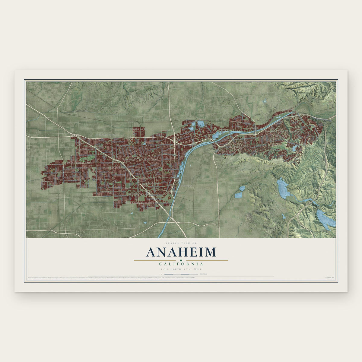
Building by building, with labeled streets and shaded relief.
12" x 18" Archival Matte Print
A Map of Home. A Work of Art.
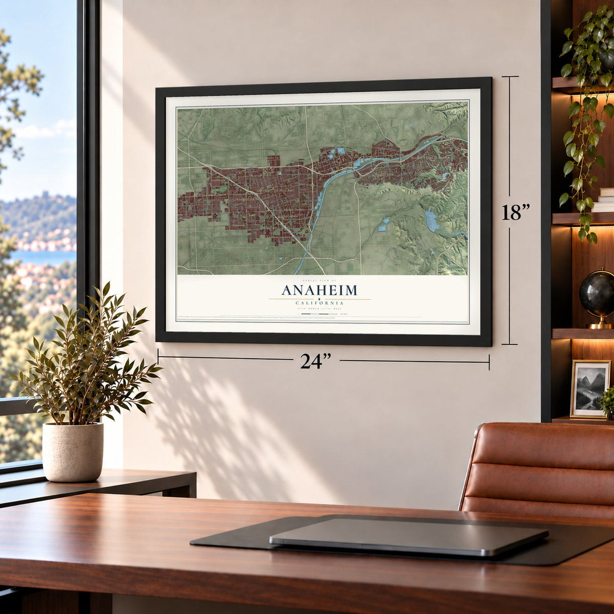
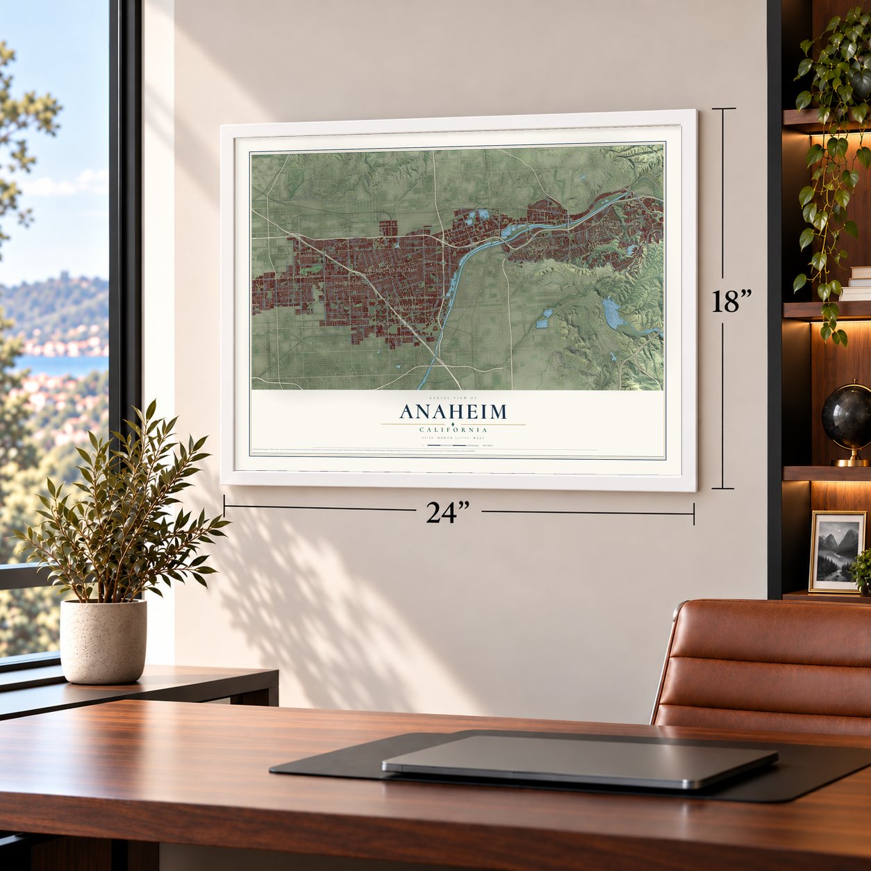
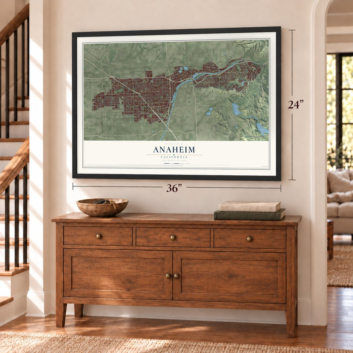
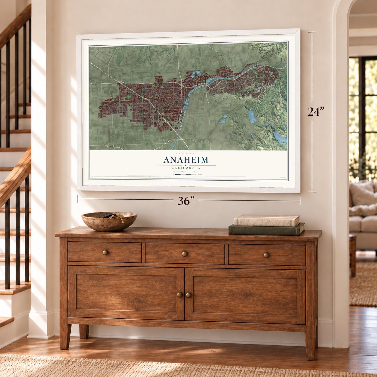
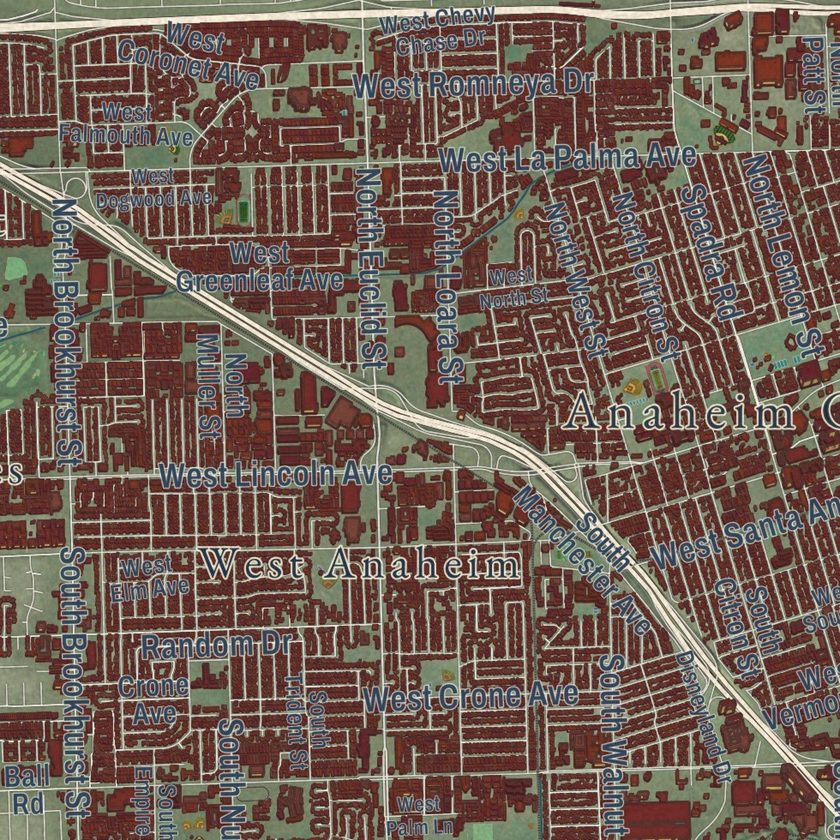
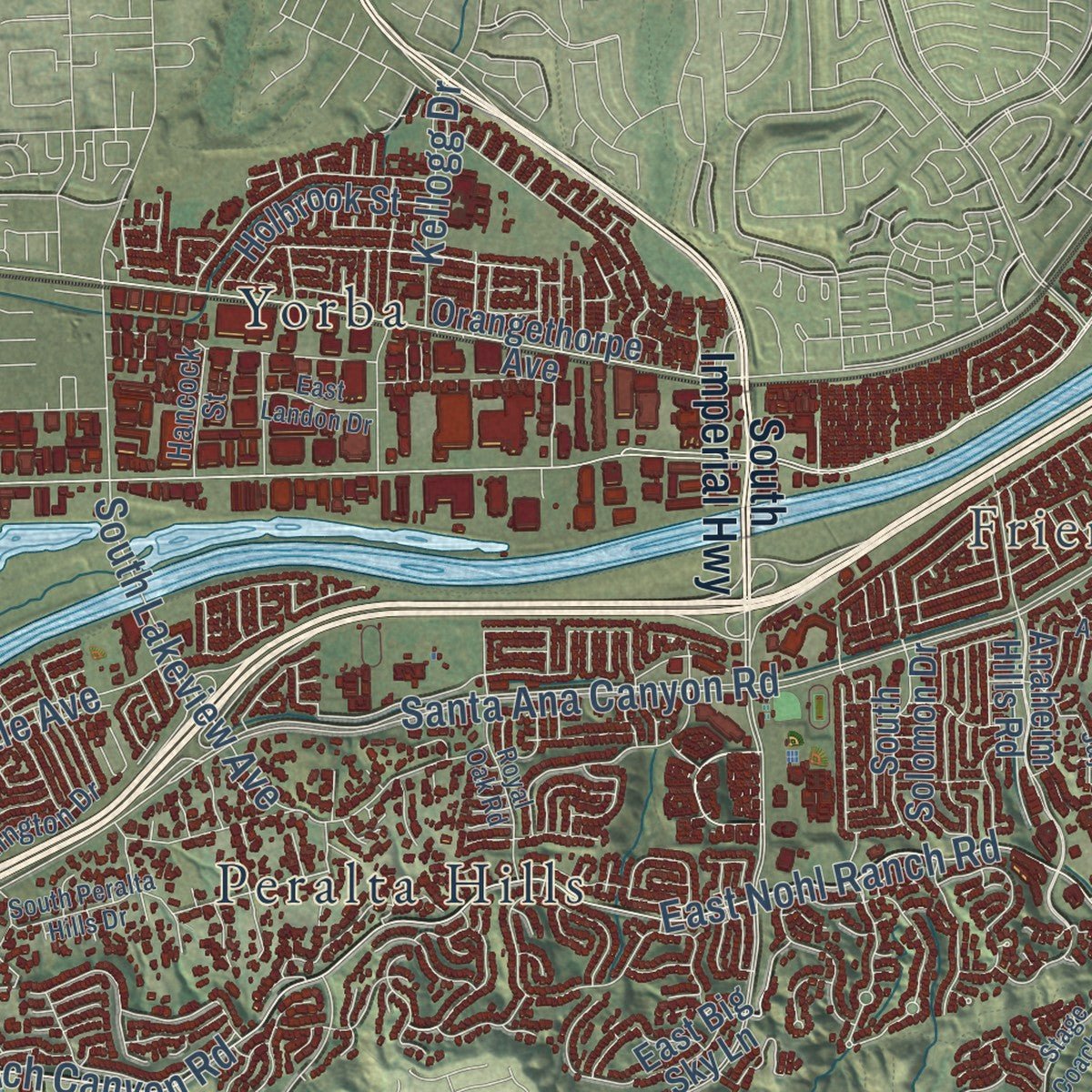
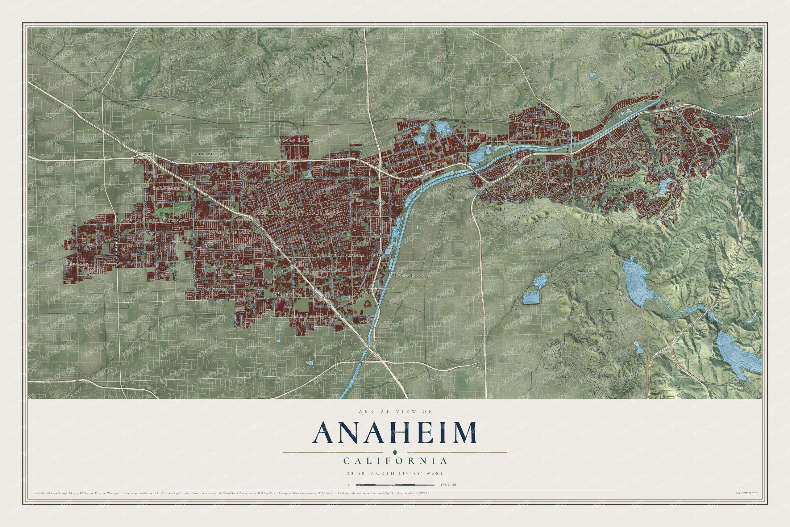
Explore Anaheim, California from a whole new perspective. Created using aerial imagery and detailed geographic data, this map captures Anaheim building by building, with labeled streets, familiar landmarks, and shaded topographical relief that highlights the natural contours of the landscape.
Combining modern data with the timeless character of a vintage atlas, this map is just as interesting up close as it is beautiful on the wall. Whether you grew up in Anaheim, spent memorable years there, or call it home today, this unique map is a great way to celebrate a place that means something to you. Zoom in on the preview to look for your street, and then order a print to put your memories on the wall.
Three ways to hang it
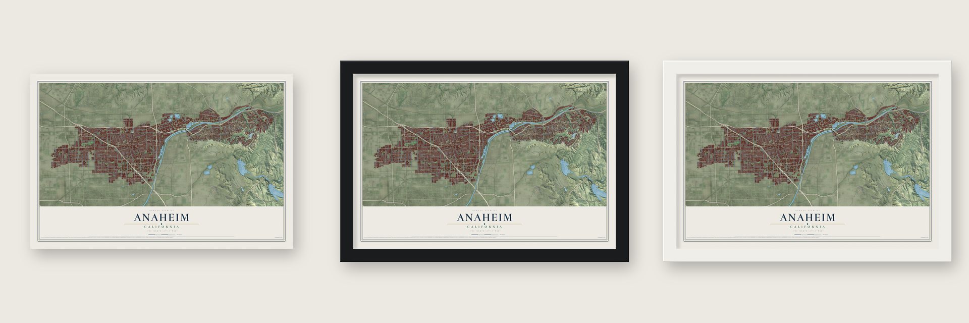
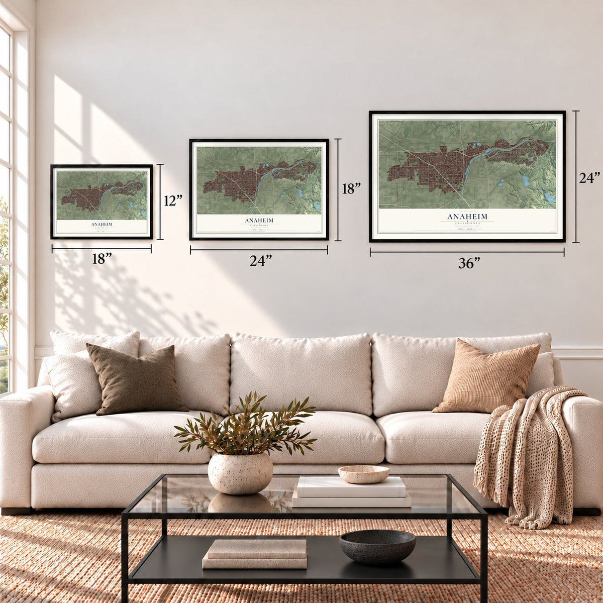
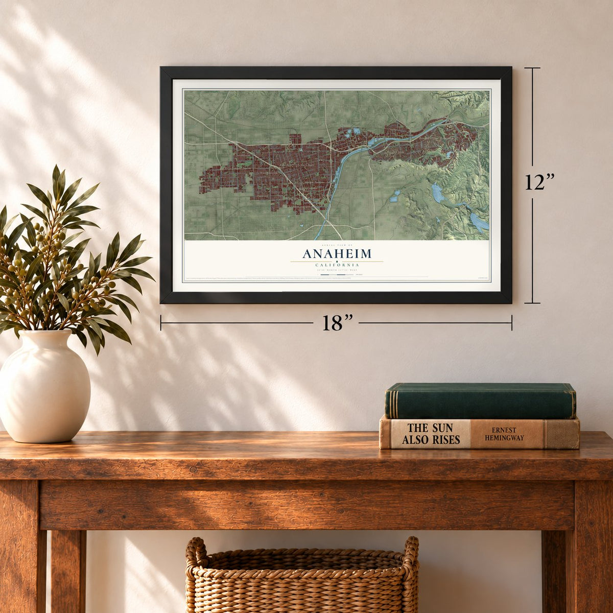
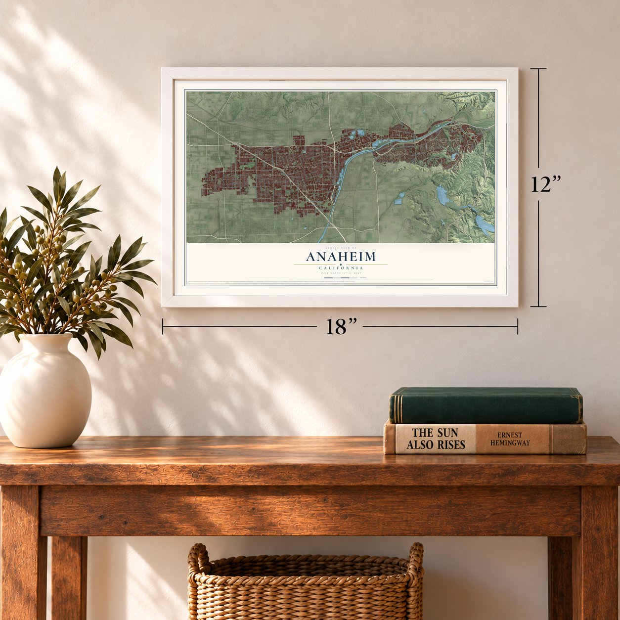
Unframed archival matte, a black wood frame or a white wood frame.
Up close
Geography Worth Displaying
This map was created using accurate cartographic data and authoritative geographic sources, including the U.S. Geological Survey and the Census Bureau. The map brings together terrain, waterways, roads, and building detail. The majority of the streets are labeled, houses are accurately depicted, and the topography is derived from government sources. Combining local data with carefully composed color and shading leads to this beautifully detailed Anaheim artwork for your wall.
Rather than simply showing street outlines, we’ve included as many of the street names as we could reasonably fit on the map while keeping their names legible. Zoom in on the high resolution preview to see exactly what’s on the map. We truly set out to create a statement piece for anyone who loves Anaheim. So whether it’s for you, or a gift for someone you love, we hope this map of Anaheim brings back fond memories.
Read the story behind this map of Anaheim, California from 2026.
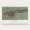
Find your street
Names on the Anaheim map
Every name below is printed on this map. Look for your street, your school, the park where you played, or the pond down the road.
Places and landmarks19
- Anaheim City Hall East
- Anaheim Hills
- Friendly Village of Anaheim
- Anaheim Shores
- Brookhurst
- Esperanza
- Hansen
- La Belle Fontane Estates
- Micaflores
- Neff
- Nutwood
- Orangetree
Show all 19 places
- Peralta Hills
- Rancho La Paz
- South Anaheim
- Sunkist Gardens
- West Anaheim
- West Anaheim Junction
- Yorba
Streets and roads183
- South Beach Boulevard
- Katella Avenue
- South Euclid Street
- North Euclid Street
- Euclid Street
- La Palma Avenue
- East La Palma Avenue
- West Lincoln Avenue
- Santa Ana Canyon Road
- West Ball Road
- East Nohl Ranch Road
- West Katella Avenue
- Nohl Ranch Canyon Road
- East Orangethorpe Avenue
- South Harbor Boulevard
- South State College Boulevard
- Weir Canyon Road
- Orange Avenue
- West Broadway
- South Weir Canyon Road
- West Orange Avenue
- West La Palma Avenue
- East Santa Ana Canyon Road
- East Katella Avenue
- East Miraloma Avenue
- Anaheim Boulevard
- Lincoln Avenue
- East Lincoln Avenue
- East South Street
- East Ball Road
Show all 183 streets
- West Crescent Avenue
- North Tustin Avenue
- South Sunkist Street
- East Sycamore Street
- East Canyon Rim Road
- Brookhurst Street
- South Brookhurst Street
- South Nutwood Street
- South Walnut Street
- South Serrano Avenue
- East Vermont Avenue
- East Frontera Street
- Serrano Avenue
- Spadra Road
- West Romneya Drive
- South Lakeview Avenue
- Cam Grande
- East Cerritos Avenue
- West Crone Avenue
- Gilbert Street
- East Orangewood Avenue
- South Magnolia Avenue
- North Brookhurst Street
- North Lemon Street
- East Romneya Drive
- East Riverdale Avenue
- East Gene Autry Way
- South Olive Street
- South Rio Vista Street
- West Santa Ana Street
- Ninth Street
- North Olive Street
- Kellogg Drive
- East Wagner Avenue
- North Miller Street
- East Coronado Street
- North Loara Street
- East La Jolla Street
- Dale Street
- Via Arboles
- Random Drive
- South Imperial Highway
- South Manchester Avenue
- Orangethorpe Avenue
- West Cerritos Avenue
- South Gilbert Street
- South Knott Avenue
- Anaheim Hills Road
- West Stonybrook Drive
- Cerritos Avenue
- North West Street
- West Street
- South Western Avenue
- West Greenleaf Avenue
- North East Street
- West Coronet Avenue
- South Hilda Street
- South Citron Street
- North Citron Street
- West Vermont Avenue
- Haster Street
- Rome Avenue
- North La Reina Street
- South Douglass Road
- East Big Sky Lane
- Festival Drive
- Holbrook Street
- Canyon Creek Road
- East Turin Avenue
- Bailey Way
- Crone Avenue
- South Webster Avenue
- South Solomon Drive
- North Muller Street
- Richfield Road
- Lewis Street
- East Cam Tampico
- Sunkist Street
- North Patt Street
- Via Burton Street
- Garden View Drive
- Oertley Drive
- Ball Road
- Fremont Street
- Della Lane
- Laster Avenue
- Hotel Way
- Durst Street
- North Magnolia Avenue
- South West Street
- Gypsum Canyon Road
- South Lewis Street
- South Haster Street
- Harriet Lane
- South Chantilly Street
- Disneyland Drive
- East Virginia Avenue
- West South Street
- East Winston Road
- East Sunset Ridge Road
- West Falmouth Avenue
- North Pauline Street
- East Underhill Avenue
- South Placentia Avenue
- West Elm Avenue
- South Empire Street
- East Addington Drive
- South Trident Street
- Knollwood Circle
- North Bush Street
- Jefferson Street
- Hacienda Street
- Columbus Drive
- West Chevy Chase Drive
- Taylor Court
- Thornton Avenue
- Blue Sky Road
- Hancock Street
- Santiago Boulevard
- South Iris Street
- Harbor Boulevard
- Loma Linda Drive
- North Minot Street
- North Kraemer Boulevard
- Periphery Road
- South Peralta Hills Drive
- East Woodsboro Avenue
- East Broadway
- West North Street
- South Fairmont Boulevard
- North Grove Street
- East Crowther Avenue
- East Avenue de Santiago
- Fairmont Boulevard
- North Acacia Street
- Stage Coach Road
- West Dogwood Avenue
- West Academy Avenue
- North Rio Vista Street
- Devoy Drive
- Via Encina
- Royal Oak Road
- South Trevor Street
- East Crystal Drive
- North Kodiak Street
- Houston Avenue
- Ocean Circle
- East Landon Drive
- Marian Avenue
- Palo Alto Drive
- East Street
- West Palm Lane
- South Jay Court
Names are listed as they appear on the printed map. Zoom into the product photos to find them.
About Anaheim, California
Anaheim is a city of 346,824 people in Orange County. In 1857, 50 German-American families living in San Francisco, whose roots lay in Rothenburg ob der Tauber in Bavaria, bought 1,165 acres of Juan Pacífico Ontiveros's Rancho San Juan Cajón de Santa Ana at $2 an acre to plant grapes. They formed the Anaheim Vineyard Company, with shares at $750 and George Hansen in charge. They named the colony for the Santa Ana River plus heim, the German word for home.
Most of the settlers were carpenters, mechanics and craftsmen who had never made wine. Even so, the district led California in wine for 25 years. On March 18, 1876, Anaheim was incorporated, becoming Los Angeles County's second city. A vine disease struck in 1884 and wiped out the industry by the next year, so farmers turned to walnuts, lemons and oranges. The town stayed mostly agricultural until Disneyland opened on July 17, 1955.
- Paid in town lotsThe German settlers went to San Francisco and hired thirty Chinese laborers, paying each with a town lot. Those lots became Anaheim's first Chinatown. Chinese workers planted grapevines by the hundreds of thousands, dug the sixteen-mile Cajon Canal and laid some of the county's first railroads. After the Chinese Exclusion Act of 1882, along with violence and boycotts, they began leaving after 1910. By 1935 one Chinese resident was left.
- The Klan voted out in 1925In April 1924 Ku Klux Klan members won seats on the city council by promising reform. Once in office they fired Catholic city workers and pushed to enforce prohibition. Their opponents bribed a Klansman for the secret membership list and used it to beat most Klan candidates in the state primaries. In 1925 a special election recalled the Klan councilmen.
- Home of the boysenberryRudolph Boysen was Anaheim's first Park Superintendent, from 1921 to 1950. He bred a new hybrid berry, and Walter Knott later named it the boysenberry in his honor. Boysen Park in East Anaheim also carries his name.
Keep exploring California
Anaheim is one of 1,990 California towns we've mapped. Every dot on the map is a print of its own.
The search covers every state, California first.
Near Anaheim
Order 2 or more town maps and save 10%. Shown in the size and finish you picked above, so they hang as a set.
- Yorba Linda 12" x 18" / Archival Matte Print $39.99
- Orange Park Acres 12" x 18" / Archival Matte Print $39.99
- Villa Park 12" x 18" / Archival Matte Print $39.99

More maps nearby: El Modena, Placentia, Chino Hills, North Tustin and Orange.
The art of mapping a place
How This Map Was Made
Real places. Remarkable detail. Discover the layers that turn geographic data into a map of home.

The view from above
Aerial imagery reveals the character of the land: woodland, open fields, and the patterns of a place.

The shape of the land
Elevation data brings hills, valleys, and subtle changes in the landscape into view.

The details of home
Roads, waterways, and building footprints come together to make the map feel unmistakably local.

Geography becomes art
Considered color, shading, and typography bring the layers together in a map made for your wall.


Process illustrated with Mendon, Massachusetts. Aerial imagery: USDA NAIP. Terrain: USGS 3D Elevation Program. Map details and finished artwork: KNOWOL.
The Details
About This Print
Choose an archival matte print, or a black or white Ayous wood frame. The archival matte print is unframed.
Select your size and finish above to see the matching product image and price.
Materials & Craftsmanship
A contemporary map with the character of a classic atlas, printed on archival matte paper. Optional frames are made from Ayous wood.
Your printed map does not include the watermark shown in the full-map preview.
Shipping & Delivery
Free shipping within the United States. Every print is made to order in the USA.
Buying a gift? Add a note in your cart and we'll include it. We never put prices in the package.
Prints ship within 2 to 3 business days. Allow 7 to 10 days total from ordering for delivery. Timing may vary during holidays or periods of high order volume.
Read our shipping policy.
Returns and damaged prints
Each print is made to order. Change-of-mind refunds are not available after production.
If your print arrives damaged, misprinted or incorrect, contact support@knowol.com within 30 days of receiving it. Include your order number, photos and a description of the issue.
Read our full refund and replacement policy. For questions about your order, email support@knowol.com.