
Search for another town

Free U.S. delivery 7 to 10 days after you order
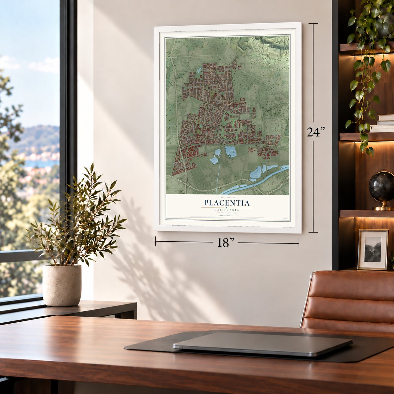
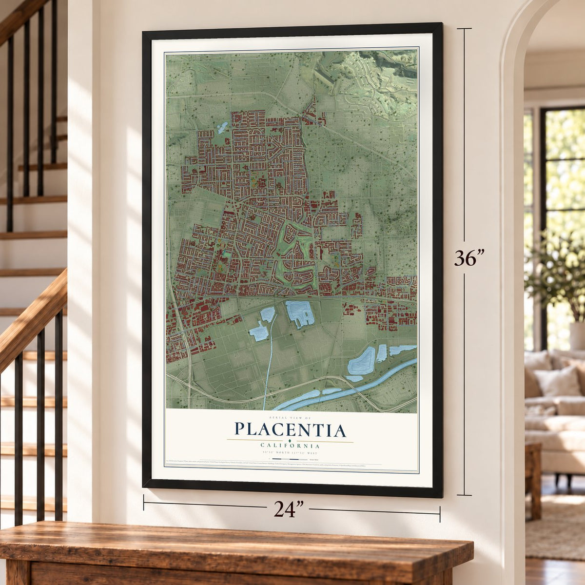
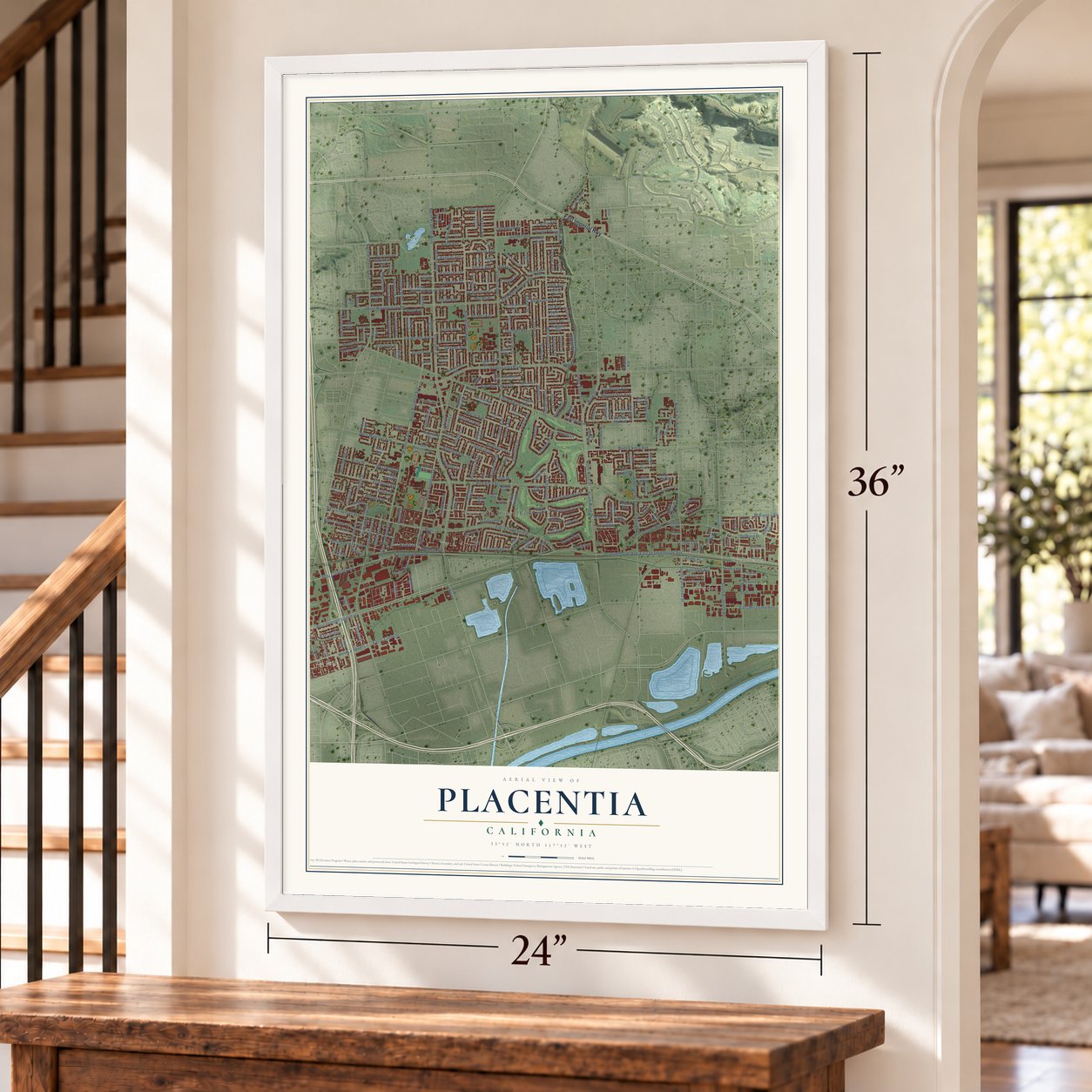
Placentia, California Map Art
Building by building, with labeled streets and shaded relief.
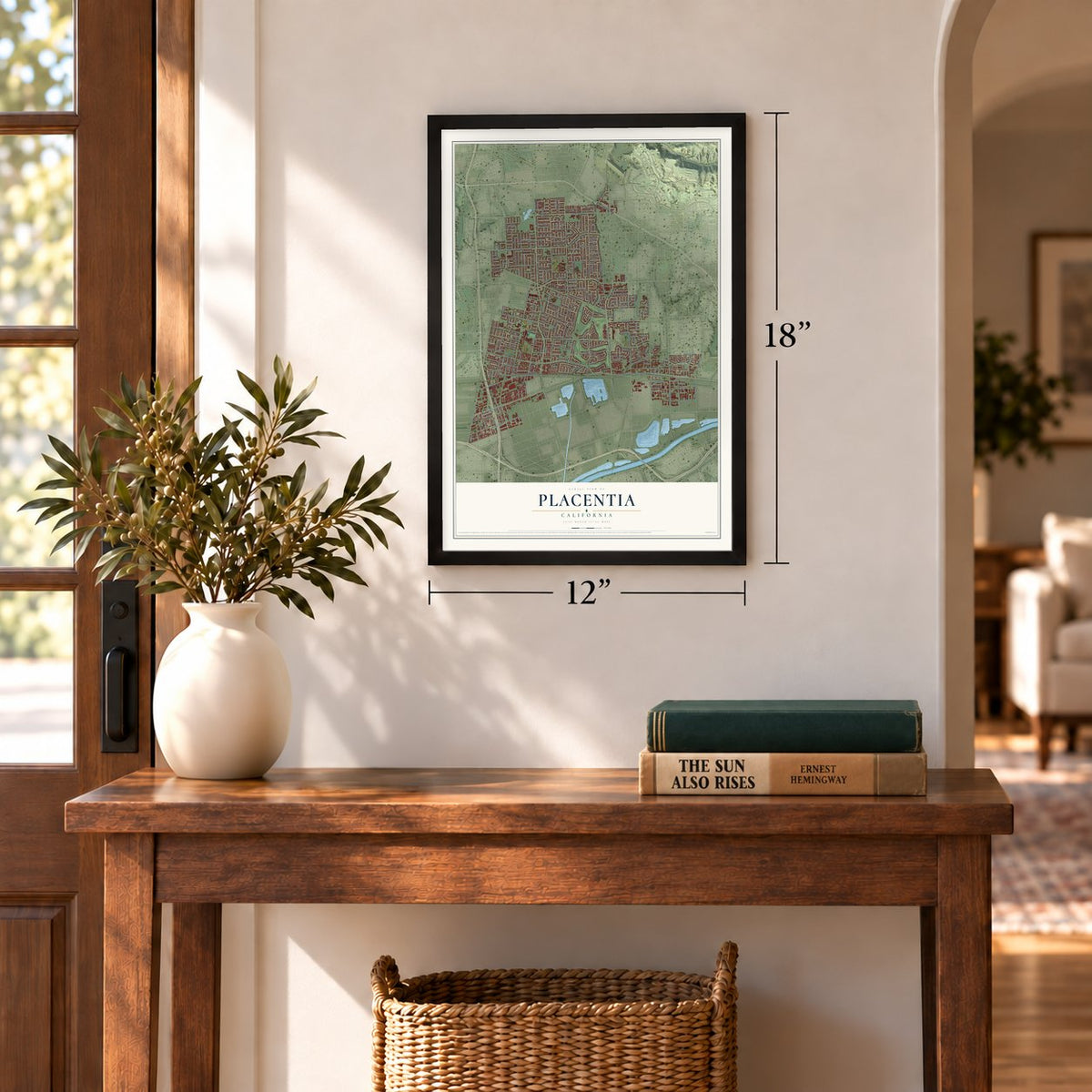
12" x 18" Archival Matte Print
A Map of Home. A Work of Art.
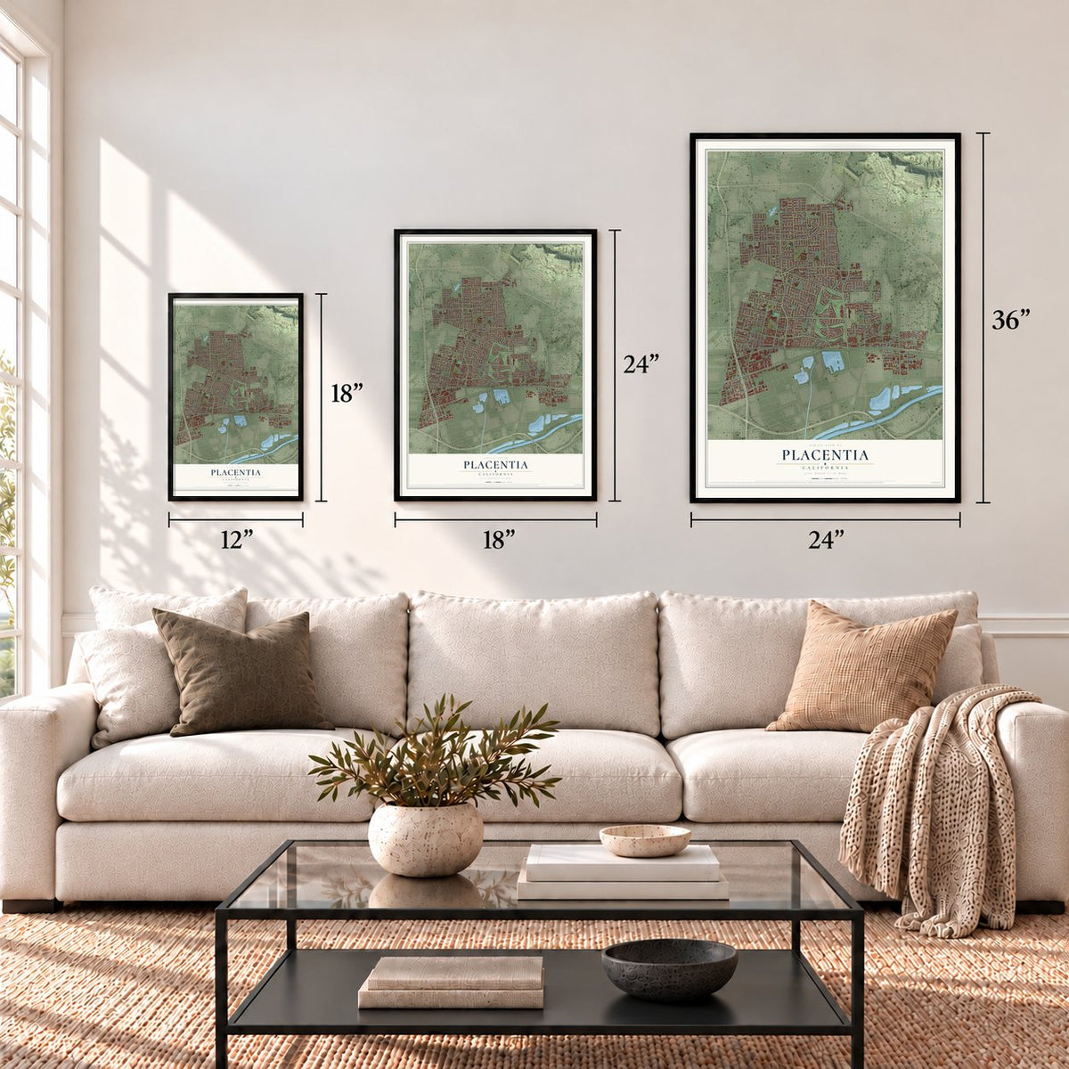
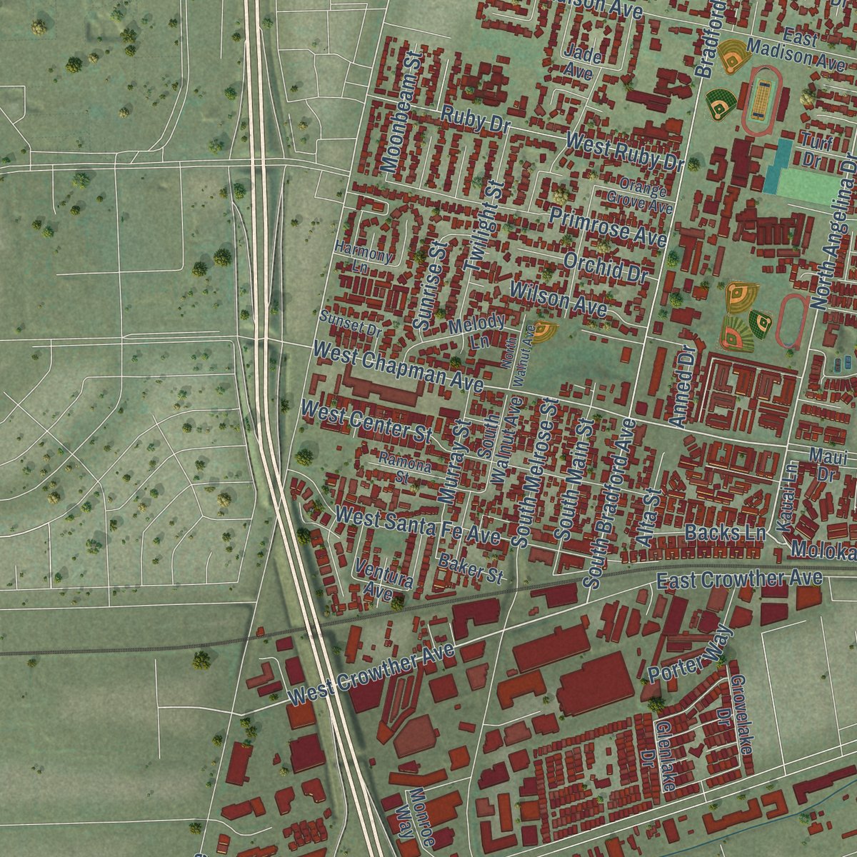
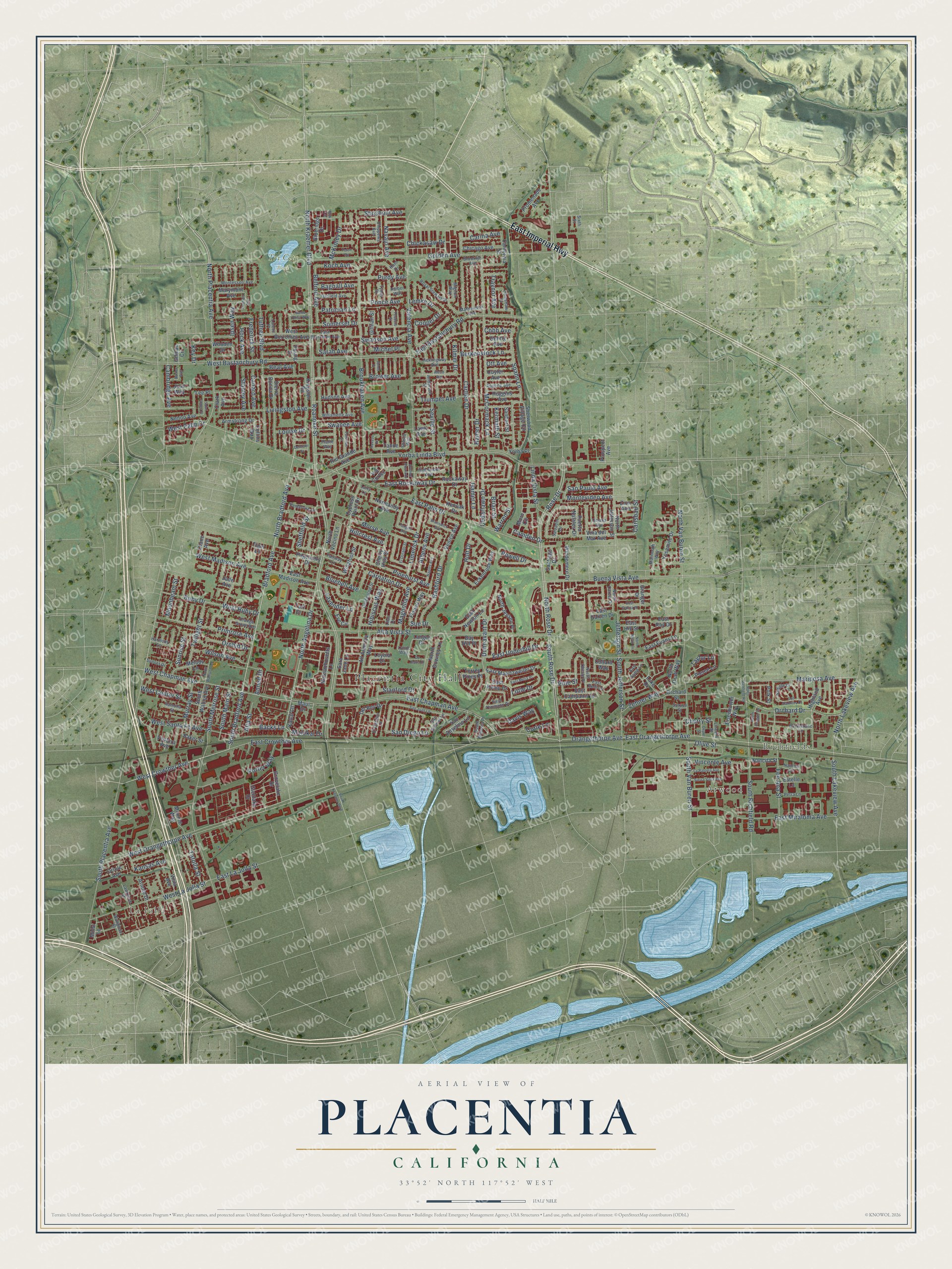
Explore Placentia, California from a whole new perspective. Created using aerial imagery and detailed geographic data, this map captures Placentia building by building, with labeled streets, familiar landmarks, and shaded topographical relief that highlights the natural contours of the landscape.
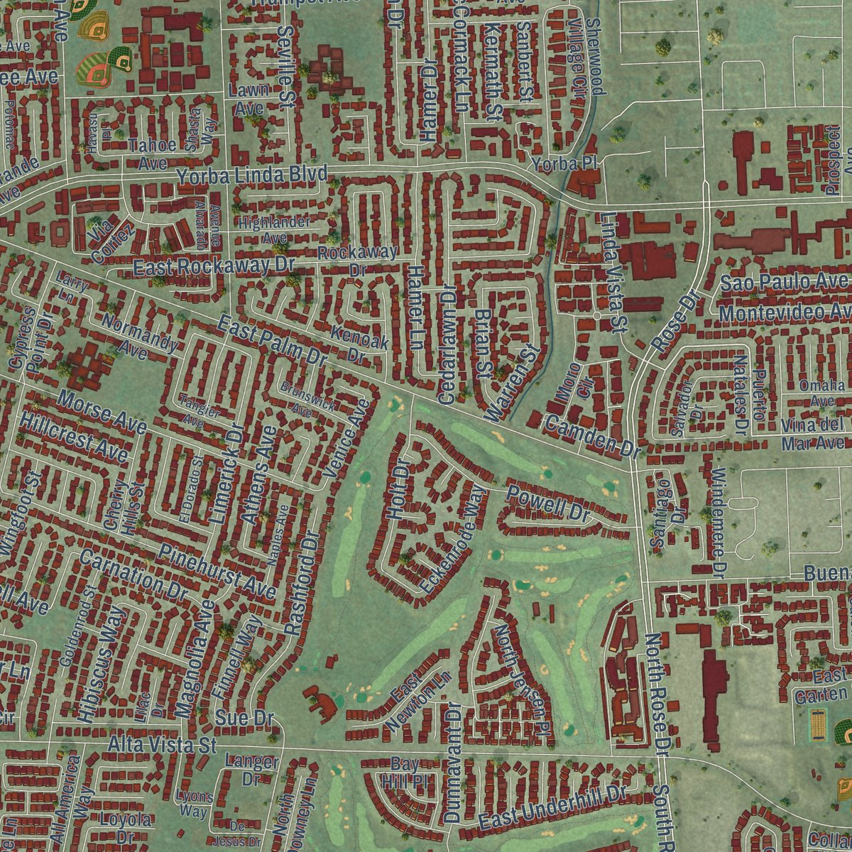
Combining modern data with the timeless character of a vintage atlas, this map is just as interesting up close as it is beautiful on the wall. Whether you grew up in Placentia, spent memorable years there, or call it home today, this unique map is a great way to celebrate a place that means something to you. Zoom in on the preview to look for your street, and then order a print to put your memories on the wall.
Three ways to hang it
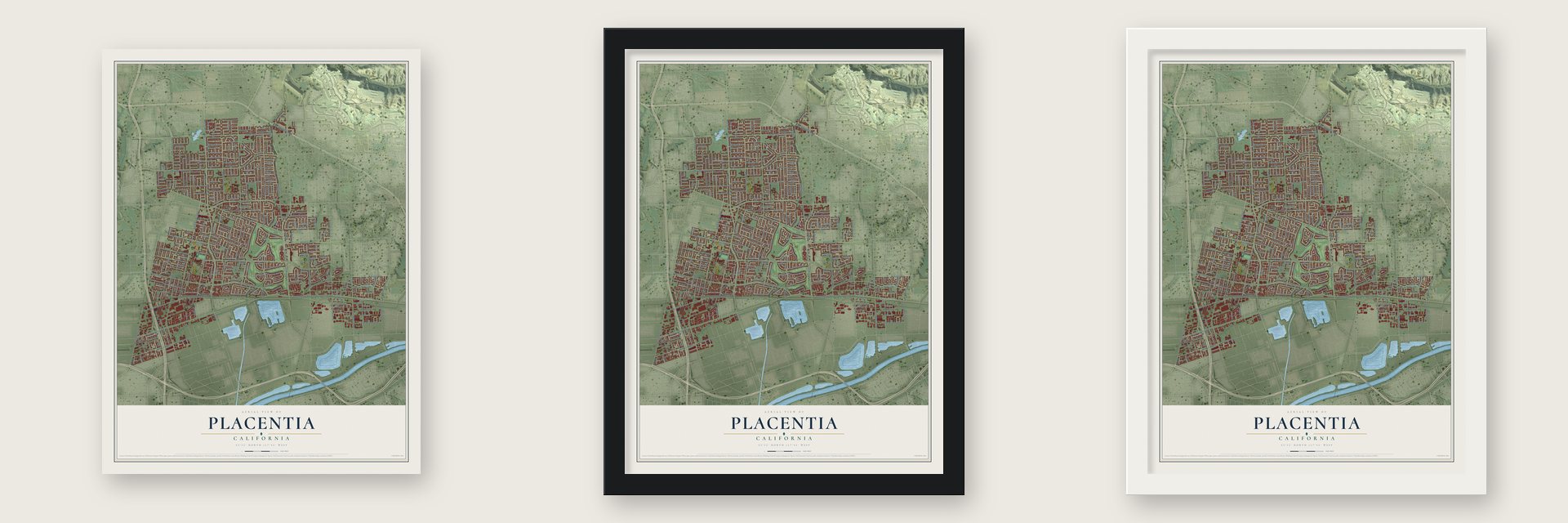
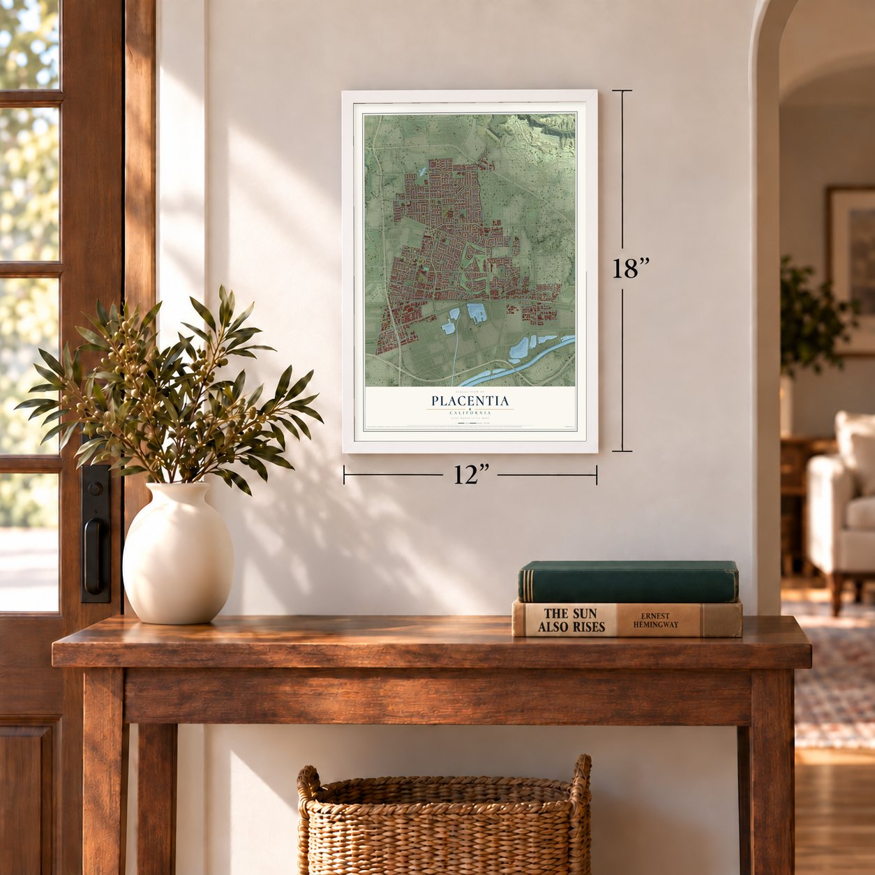
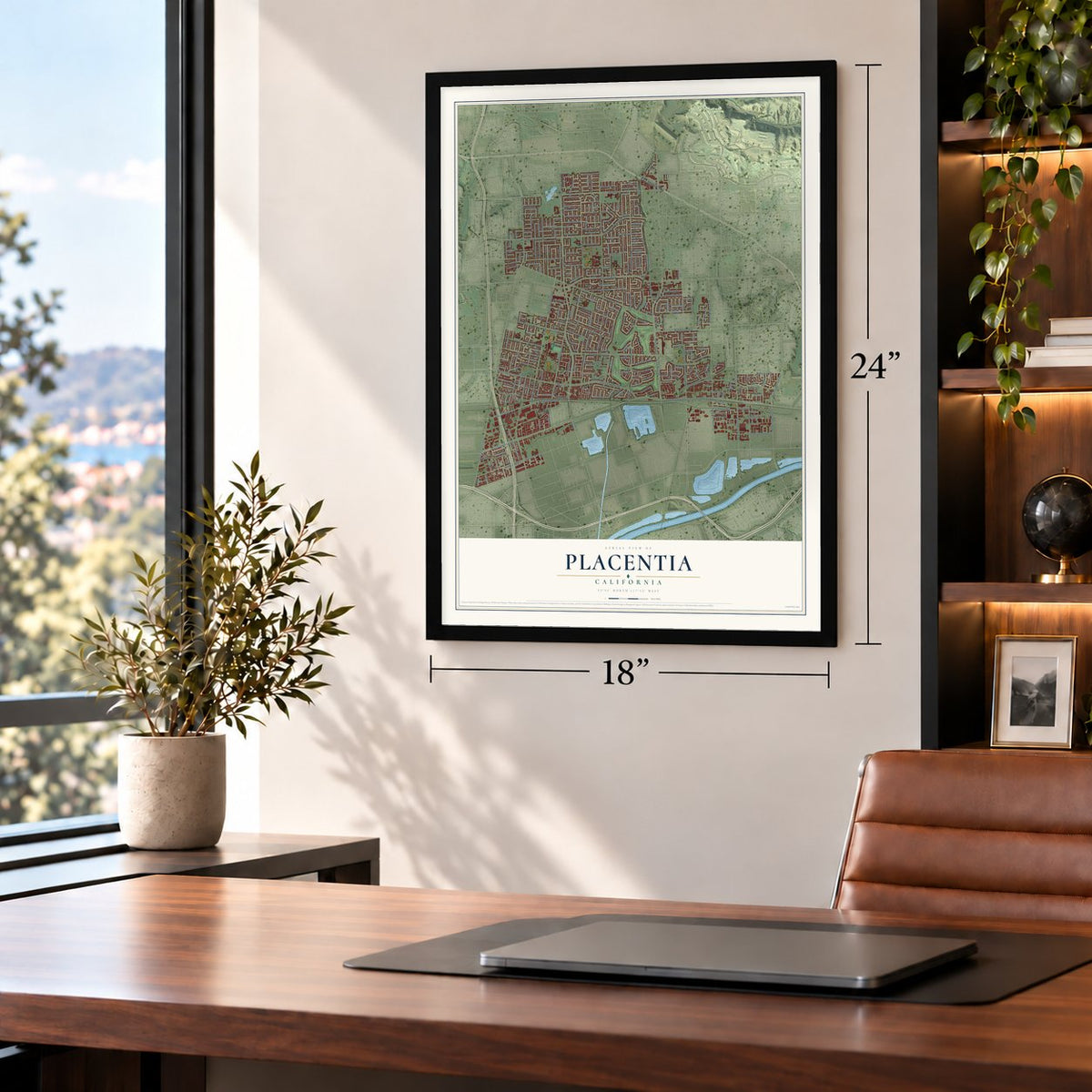
Unframed archival matte, a black wood frame or a white wood frame.
Up close
Geography Worth Displaying
This map was created using accurate cartographic data and authoritative geographic sources, including the U.S. Geological Survey and the Census Bureau. The map brings together terrain, waterways, roads, and building detail. The majority of the streets are labeled, houses are accurately depicted, and the topography is derived from government sources. Combining local data with carefully composed color and shading leads to this beautifully detailed Placentia artwork for your wall.
Rather than simply showing street outlines, we’ve included as many of the street names as we could reasonably fit on the map while keeping their names legible. Zoom in on the high resolution preview to see exactly what’s on the map. We truly set out to create a statement piece for anyone who loves Placentia. So whether it’s for you, or a gift for someone you love, we hope this map of Placentia brings back fond memories.
Read the story behind this map of Placentia, California from 2026.
Find your street
Names on the Placentia map
Every name below is printed on this map. Look for your street, your school, the park where you played, or the pond down the road.
Places and landmarks5
- Placentia City Hall
- Richfields
- La Jolla
- Atwood
- Tri City Park
Streets and roads321
- East Imperial Highway
- East Chapman Avenue
- North Angelina Drive
- West Crowther Avenue
- South Bradford Avenue
- Carlsbad Street
- Molokai Drive
- Sao Paulo Avenue
- North Kraemer Boulevard
- Rose Drive
- North Placentia Avenue
- Bradford Avenue
- North Bradford Avenue
- West Chapman Avenue
- San Diego Lane
- Cooper Drive
- Montevideo Avenue
- Sheffield Street
- Yorba Linda Boulevard
- East Orangethorpe Avenue
- Orangethorpe Avenue
- North Rose Drive
- Alta Vista Street
- East Palm Drive
- East Bastanchury Road
- Valencia Avenue
- West Bastanchury Road
- South Placentia Avenue
- Golden Avenue
- West Orangethorpe Avenue
Show all 321 streets
- Roanoke Street
- South Melrose Street
- Buena Vista Avenue
- McCormack Lane
- South Rose Drive
- Brookhaven Avenue
- Cartlen Drive
- Hamer Drive
- West La Jolla Street
- Orchard Drive
- Tuffree Boulevard
- East Miraloma Avenue
- North Van Buren Street
- South Van Buren Street
- South Richfield Road
- Morse Avenue
- South Jefferson Street
- West Santa Fe Avenue
- West Center Street
- Somerset Drive
- Ruby Drive
- West Ruby Drive
- Mariposa Avenue
- Livingston Avenue
- Pinehurst Avenue
- Primrose Avenue
- Fee Ana Street
- North Lakeview Avenue
- Powell Drive
- Spahn Lane
- East Crowther Avenue
- West Madison Avenue
- Twilight Street
- Dunnavant Drive
- Rashford Drive
- East Rockaway Drive
- Cedarlawn Drive
- Limerick Drive
- Purdy Avenue
- Vincente Avenue
- Linda Vista Street
- South Lakeview Avenue
- Hamer Lane
- South Main Street
- Zehner Way
- Cobb Avenue
- Magnolia Avenue
- Belford Avenue
- East Underhill Drive
- Berkenstock Lane
- Trumpet Avenue
- Swanson Avenue
- Murray Street
- Holt Drive
- Jefferson Street
- Chickasaw Drive
- Tafolla Street
- Sunrise Street
- Beal Avenue
- Patrician Lane
- East La Jolla Street
- Seville Street
- Taylor Lane
- McKinley Drive
- Porter Way
- Cherry Street
- Little Drive
- Warren Street
- Wilson Avenue
- Orchid Drive
- Navajo Avenue
- Cambridge Avenue
- Olive Street
- Carnation Drive
- Moonbeam Street
- Carina Avenue
- Lavender Lane
- Koch Avenue
- Bagnall Avenue
- Kansas Avenue
- Camden Drive
- Stanley Avenue
- Canard Avenue
- Swanee Avenue
- Brower Avenue
- Ponce Avenue
- Bluebell Avenue
- Stanford Drive
- Shoshoni Avenue
- West Palm Drive
- Sarah Avenue
- Davis Way
- Anned Drive
- Athens Avenue
- Hillcrest Avenue
- Hibiscus Way
- Backs Lane
- Brian Street
- Frederick Street
- Hock Avenue
- Ipsen Way
- Curie Lane
- Traynor Avenue
- Michel Place
- Pine Street
- Sue Drive
- Louise Drive
- Kermath Street
- Kilmer Drive
- Alta Street
- Lemke Drive
- Ott Avenue
- Key Drive
- Vina del Mar Avenue
- East Kemp Drive
- Puerto Natales Drive
- Kauai Lane
- Polk Street
- Del Rey Drive
- Marymont Avenue
- Glenlake Drive
- Sherwood Village Circle
- North Jefferson Street
- Cypress Point Drive
- North Downey Lane
- Sierra Bonita Drive
- All America Way
- East Madison Avenue
- Blueridge Drive
- Rockaway Drive
- Kenoak Drive
- South Walnut Avenue
- East Maertzweiler Drive
- Kingston Road
- West Borromeo Avenue
- North Jensen Place
- Chicago Avenue
- Finnell Way
- Collard Way
- Monroe Way
- Melody Lane
- Yosemite Drive
- Normandy Avenue
- Massachusetts Lane
- Eckenrode Way
- Nenno Avenue
- Promenade Avenue
- Wooden Drive
- East Campanis Lane
- East Evans Lane
- Rio Grande Avenue
- Windemere Drive
- Eisenhower Way
- East Newton Lane
- Highland Avenue
- Cherry Hills Street
- Armstrong Drive
- Huggins Avenue
- San Anselmo Lane
- Hudson Avenue
- Wingfoot Street
- Orchard Street
- Gillilan Street
- Grovelake Drive
- California Street
- Granger Drive
- Cuyler Avenue
- Pageantry Drive
- Tahoe Avenue
- Oriole Avenue
- East Garten Drive
- Venice Avenue
- Langer Drive
- East Hill Street
- North Vecino Lane
- Nancita Street
- North Draft Way
- Gehrig Avenue
- Santiago Drive
- Sanbert Street
- Diane Avenue
- Yorba Place
- Arnold Drive
- Baker Street
- Torrey Pines Place
- Sara Jane Lane
- Pierce Lane
- Gilman Circle
- Zion Avenue
- Prospect Avenue
- Estelle Lane
- Collins Way
- East Ray Drive
- Moro Circle
- Via Cortez
- Tiger Lane
- Maui Drive
- Vista Avenue
- Moisi Lane
- Clark Avenue
- Lawn Avenue
- Ventura Avenue
- Loyola Drive
- Luke Drive
- Eve Circle
- Bay Hill Place
- Jade Avenue
- Joan Way
- Turf Drive
- Young Drive
- Lee Place
- Mathewson Avenue
- Montessori Avenue
- Royal Stewart Drive
- Brooklyn Avenue
- Hemingway Avenue
- Goldenrod Street
- Ramona Street
- North Oberle Place
- Orange Grove Avenue
- Garfield Avenue
- Willamette Avenue
- Appling Avenue
- San Gabriel Lane
- Lyons Way
- El Camino Lane
- East Borromeo Avenue
- East Thomann Drive
- Sunset Drive
- Chippewa Avenue
- Highlander Avenue
- Omaha Avenue
- Pembroke Lane
- Saddle Drive
- Fairway Lane
- Lincoln Street
- North Carew Drive
- South Majorca Place
- Boisseranc Lane
- Anderson Street
- Mammoth Way
- Wallgreen Street
- Lawrence Street
- Petra Lane
- East Samp Lane
- Nancita Circle
- Harmony Lane
- Earnshaw Drive
- East Belfi Lane
- Haiber Way
- Salvador Drive
- Loreto Place
- Mignon Way
- Tynes Drive
- Spruce Street
- Shasta Way
- Lilac Drive
- Platte Way
- Larry Lane
- Sixth Street
- Hunt Drive
- Alcott Avenue
- Los Alamitos Drive
- San Juan Lane
- La Paloma Avenue
- Sierra Vista Avenue
- Potomac Street
- Teodoro Street
- Teton Circle
- Naples Avenue
- East Melia Place
- Brunswick Avenue
- De Jesus Drive
- South Kraemer Boulevard
- East Garcia Place
- El Dorado Street
- North Walnut Avenue
- North Nevin Lane
- Demmer Drive
- Saint James Place
- Barker Way
- Tangier Avenue
- North Richfield Road
- South Reagan Drive
- Santa Rosa Way
- Avenue Alvarado
- Fremont Avenue
- Havasu Place
- Depot Street
- Jones Place
- Bow Circle
Names are listed as they appear on the printed map. Zoom into the product photos to find them.
About Placentia, California
Placentia is a city of 51,824 people in Orange County. The Tongva lived in this area for thousands of years, and their large village of Hutuknga stood close to the present city. In 1837 the Mexican government gave the land to Juan Pacifico Ontiveros as part of the San Juan Cajón de Santa Ana rancho grant. In 1865 the American pioneer Daniel Kraemer bought 3,900 acres here, and other settlers soon followed him.
Placentia's first commercial orange grove dates from 1880, and Mexican and English laborers did most of the work in it. For years the place was only a scatter of ranches. Then in 1910 A.S. Bradford, Samuel Kraemer and others convinced the Santa Fe Railroad to move its track through Placentia so local farmers could ship their crops. A town center grew up beside the line, and Placentia became a major Santa Fe stop for processing oranges.
- Named by Sarah Jane McFaddenThe local schools first belonged to the Cajon School District. In 1878 Sarah Jane McFadden, whose husband William was the second White settler to arrive, renamed it the Placentia School District. She drew the name from Latin and took it to mean a pleasant place to live. The town later took the name from its schools.
- Oil wells in 1919Oil was discovered in 1919, and wells soon spread across eastern and northern Placentia. The town of Richfield, later called Atwood, was built to house the oil workers, most of whom were Mexican laborers. Nearby La Jolla went up for the same reason, as a segregated colonia.
- The flood of 1938The Santa Ana River flood of 1938 struck the mostly Mexican neighborhoods of Placentia hardest. When the water went down, only the La Jolla school and three brick buildings were left standing there. The flood made 1,500 homes unlivable, left 3,700 refugees and killed more than 50 people, most of them from Atwood.
- Veterans end school segregationFrom the 1910s to the 1930s, Placentia built separate schools for White and Mexican students. In 1948 Mexican-American veterans of World War II, led by Alfred Aguirre, campaigned to end that segregation. The community built its own political base in the 1950s, signing up hundreds of Chicano voters, and Aguirre served on the city council from 1958 to 1962.
- A Victorian citrus ranchThe George Key Ranch keeps a Victorian ranch house from Placentia's orange-growing years. Today it sits inside a 2-acre historic park, where the house is a museum surrounded by outdoor displays and a working citrus grove. The ranch joined the National Register in 1975.
Keep exploring California
Placentia is one of 1,990 California towns we've mapped. Every dot on the map is a print of its own.
The search covers every state, California first.
Near Placentia
Order 2 or more town maps and save 10%. Shown in the size and finish you picked above, so they hang as a set.
- Brea 12" x 18" / Archival Matte Print $39.99
- Fullerton 12" x 18" / Archival Matte Print $39.99
- Yorba Linda 12" x 18" / Archival Matte Print $39.99
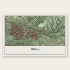
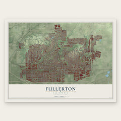
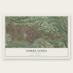
More maps nearby: Villa Park, Anaheim, La Habra, Rowland Heights and Orange.
The art of mapping a place
How This Map Was Made
Real places. Remarkable detail. Discover the layers that turn geographic data into a map of home.

The view from above
Aerial imagery reveals the character of the land: woodland, open fields, and the patterns of a place.

The shape of the land
Elevation data brings hills, valleys, and subtle changes in the landscape into view.

The details of home
Roads, waterways, and building footprints come together to make the map feel unmistakably local.

Geography becomes art
Considered color, shading, and typography bring the layers together in a map made for your wall.


Process illustrated with Mendon, Massachusetts. Aerial imagery: USDA NAIP. Terrain: USGS 3D Elevation Program. Map details and finished artwork: KNOWOL.
The Details
About This Print
Choose an archival matte print, or a black or white Ayous wood frame. The archival matte print is unframed.
Select your size and finish above to see the matching product image and price.
Materials & Craftsmanship
A contemporary map with the character of a classic atlas, printed on archival matte paper. Optional frames are made from Ayous wood.
Your printed map does not include the watermark shown in the full-map preview.
Shipping & Delivery
Free shipping within the United States. Every print is made to order in the USA.
Buying a gift? Add a note in your cart and we'll include it. We never put prices in the package.
Prints ship within 2 to 3 business days. Allow 7 to 10 days total from ordering for delivery. Timing may vary during holidays or periods of high order volume.
Read our shipping policy.
Returns and damaged prints
Each print is made to order. Change-of-mind refunds are not available after production.
If your print arrives damaged, misprinted or incorrect, contact support@knowol.com within 30 days of receiving it. Include your order number, photos and a description of the issue.
Read our full refund and replacement policy. For questions about your order, email support@knowol.com.