
Search for another town
Free U.S. delivery 7 to 10 days after you order
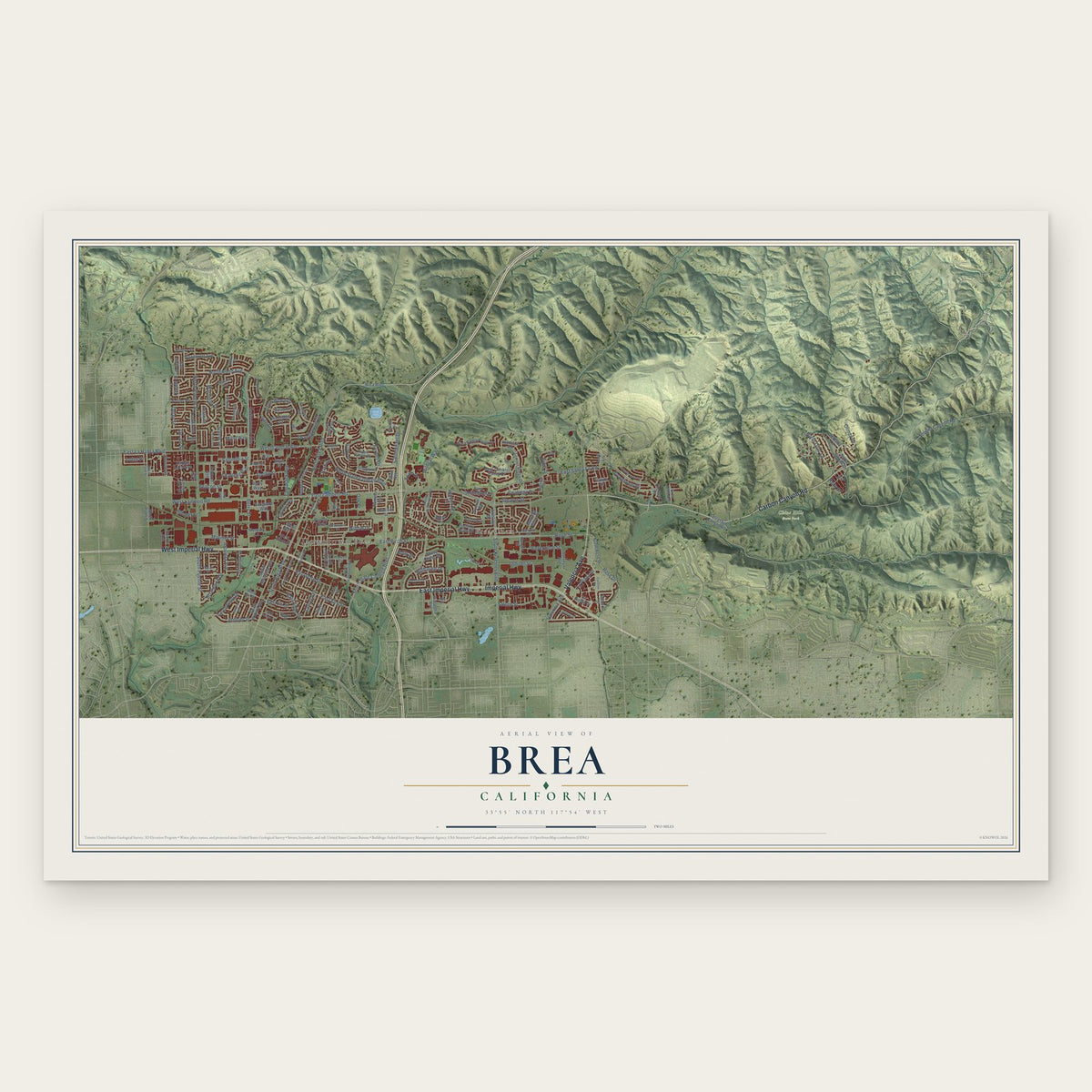
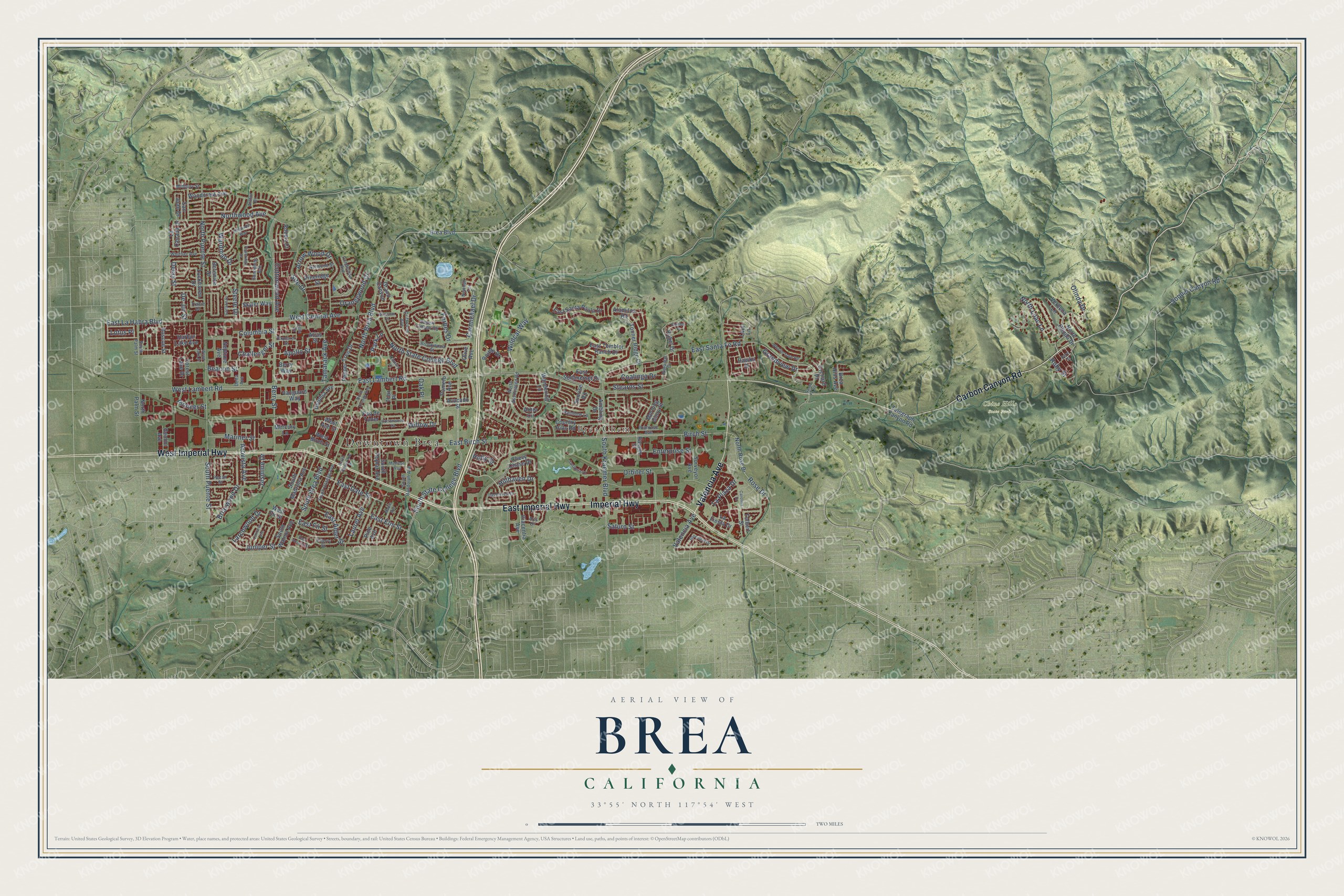
Brea, California Map Art
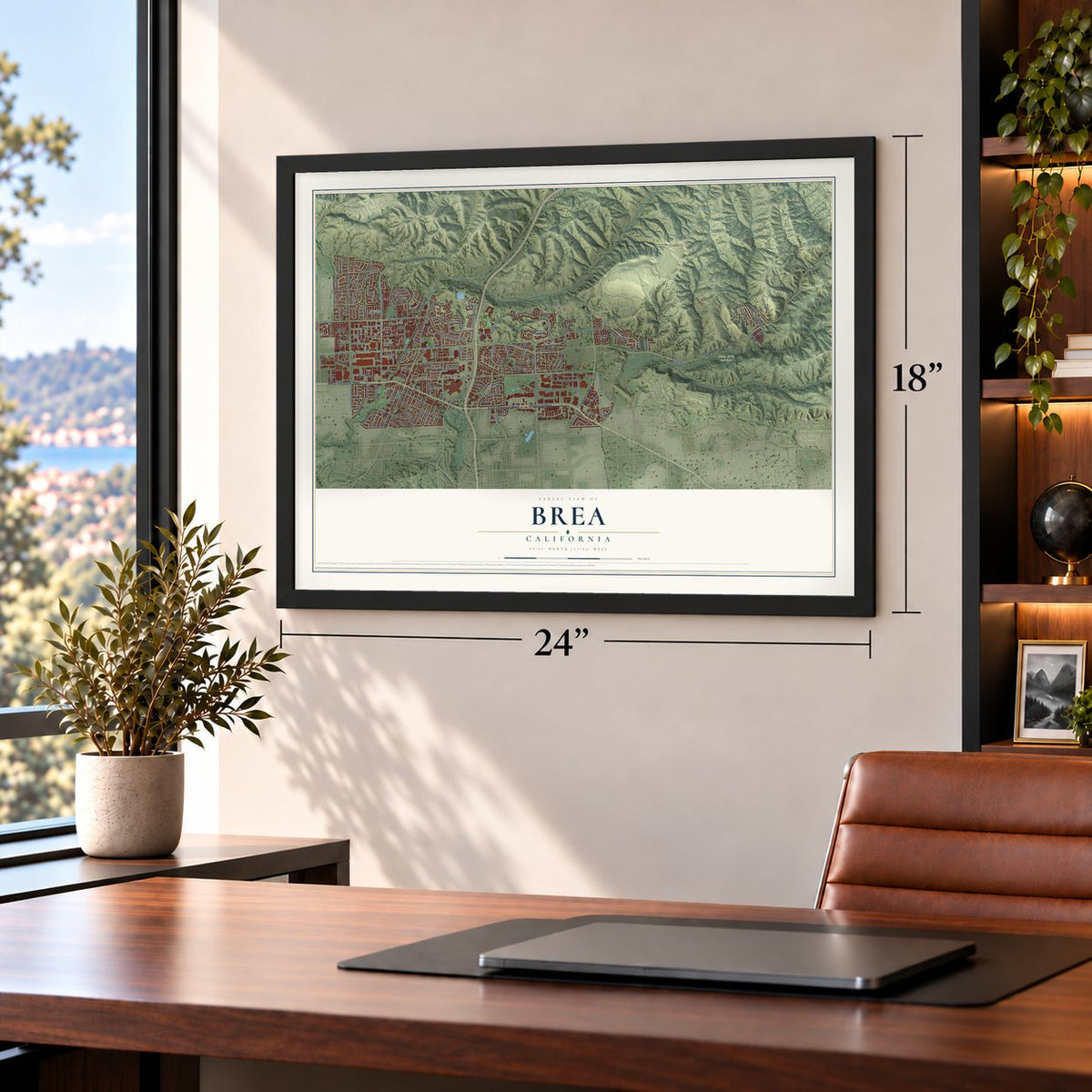
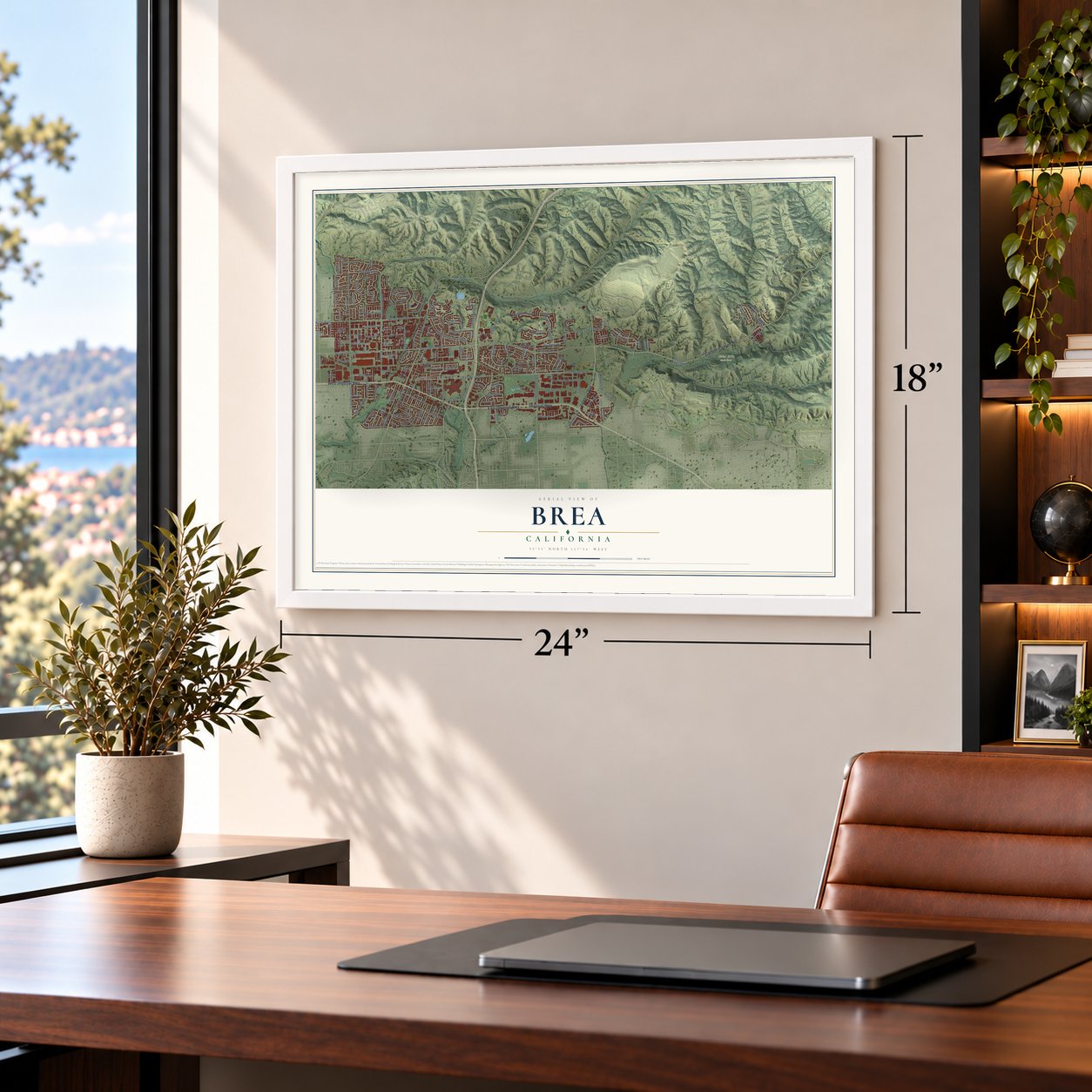
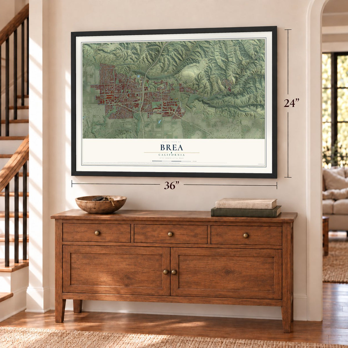
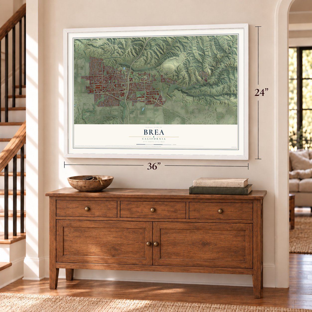
Building by building, with labeled streets and shaded relief.
12" x 18" Archival Matte Print
A Map of Home. A Work of Art.
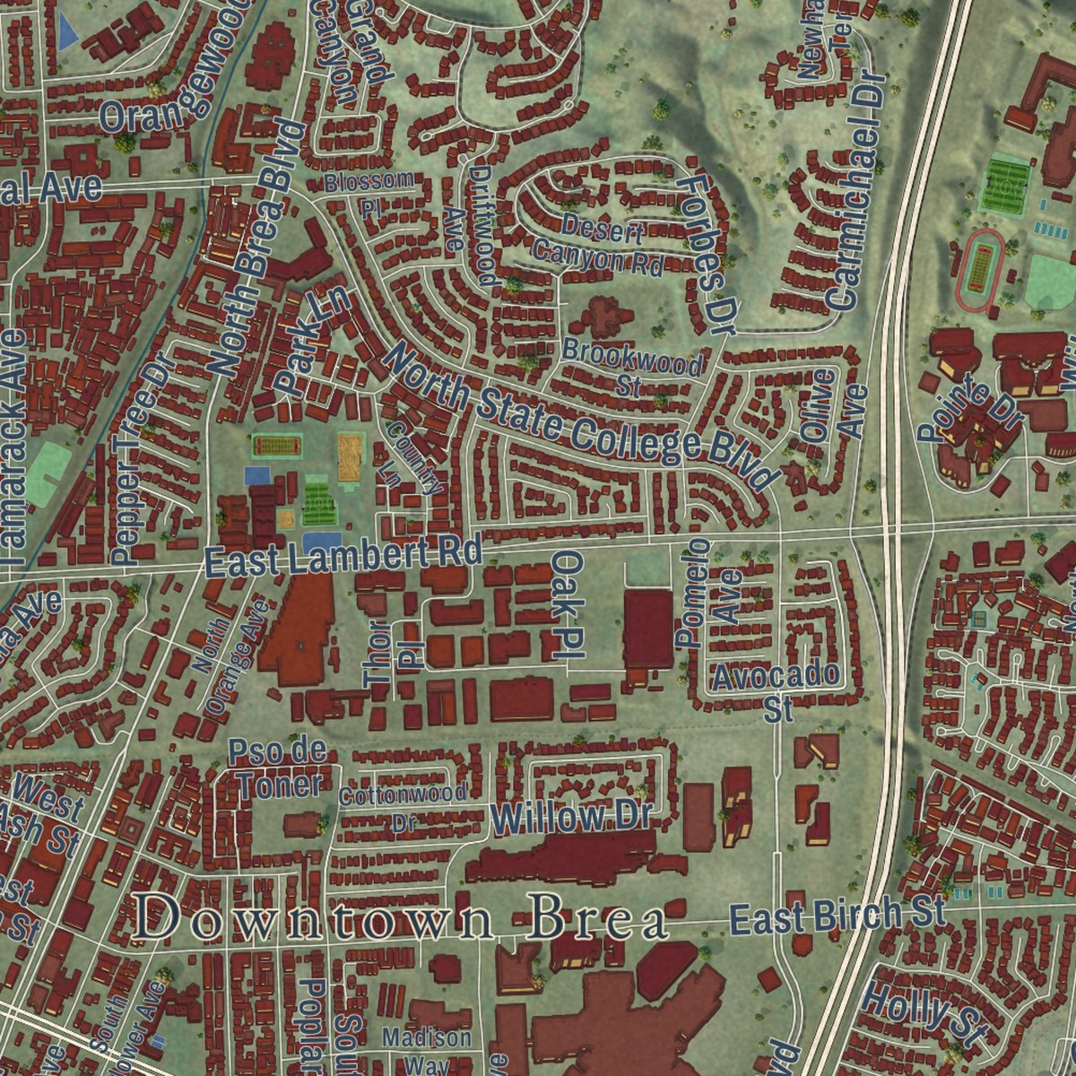
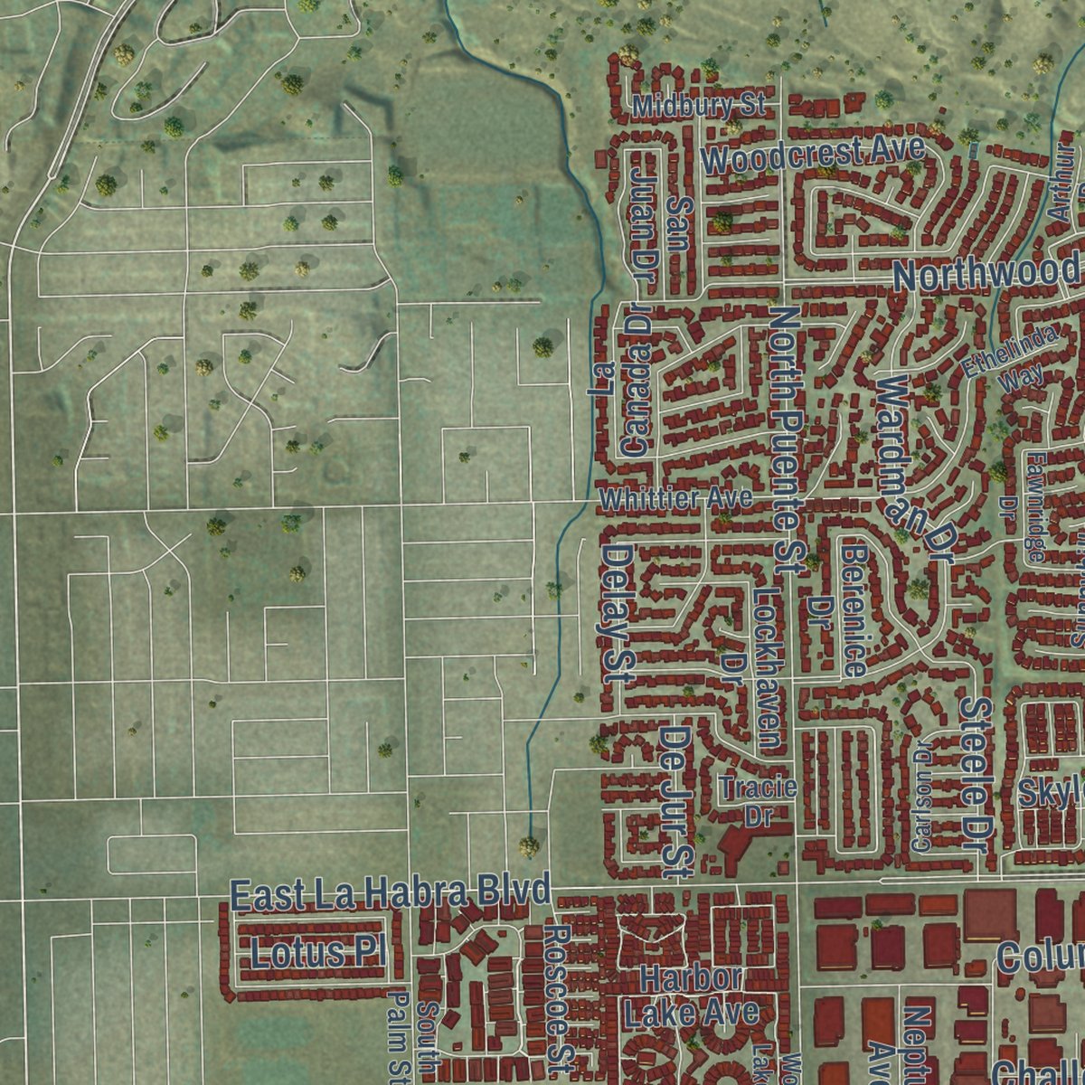
Explore Brea, California from a whole new perspective. Created using aerial imagery and detailed geographic data, this map captures Brea building by building, with labeled streets, familiar landmarks, and shaded topographical relief that highlights the natural contours of the landscape.
Combining modern data with the timeless character of a vintage atlas, this map is just as interesting up close as it is beautiful on the wall. Whether you grew up in Brea, spent memorable years there, or call it home today, this unique map is a great way to celebrate a place that means something to you. Zoom in on the preview to look for your street, and then order a print to put your memories on the wall.
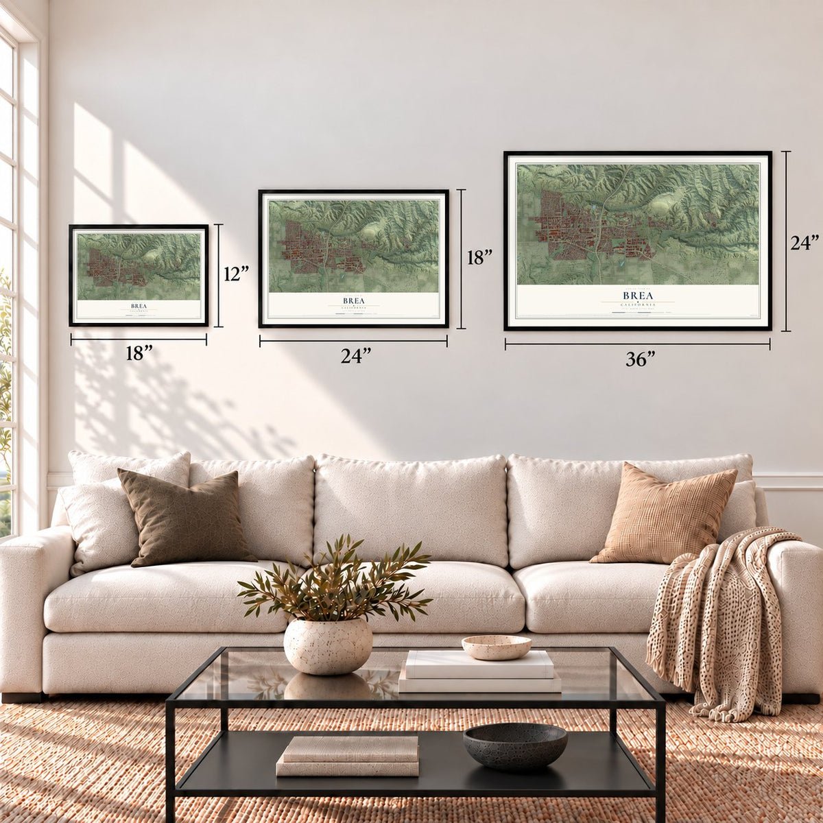
Three ways to hang it
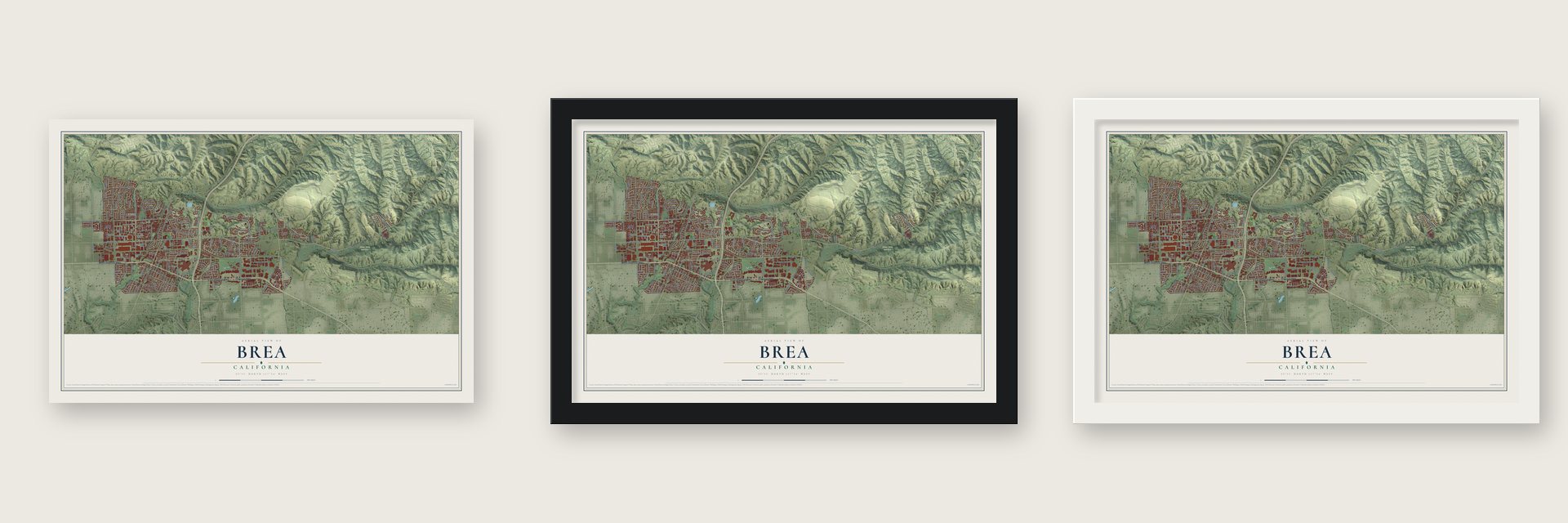
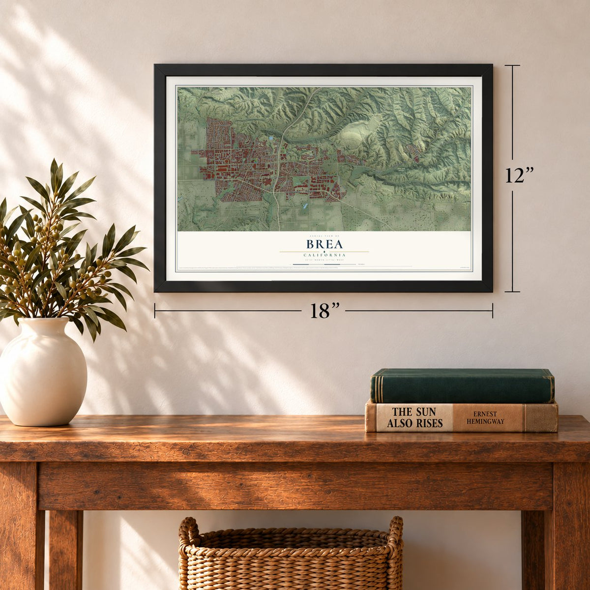
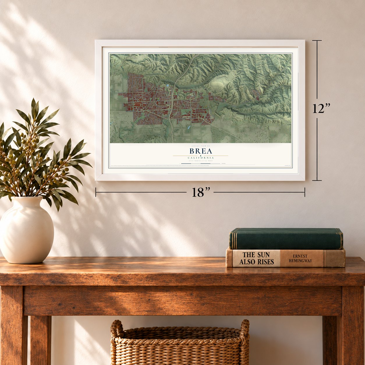
Unframed archival matte, a black wood frame or a white wood frame.
Up close
Geography Worth Displaying
This map was created using accurate cartographic data and authoritative geographic sources, including the U.S. Geological Survey and the Census Bureau. The map brings together terrain, waterways, roads, and building detail. The majority of the streets are labeled, houses are accurately depicted, and the topography is derived from government sources. Combining local data with carefully composed color and shading leads to this beautifully detailed Brea artwork for your wall.
Rather than simply showing street outlines, we’ve included as many of the street names as we could reasonably fit on the map while keeping their names legible. Zoom in on the high resolution preview to see exactly what’s on the map. We truly set out to create a statement piece for anyone who loves Brea. So whether it’s for you, or a gift for someone you love, we hope this map of Brea brings back fond memories.
Read the story behind this map of Brea, California from 2026.
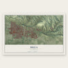
Find your street
Names on the Brea map
Every name below is printed on this map. Look for your street, your school, the park where you played, or the pond down the road.
Places and landmarks3
- Downtown Brea
- Brea Chem
- Chino Hills State Park
Streets and roads173
- East Imperial Highway
- Imperial Highway
- Carbon Canyon Road
- West Imperial Highway
- Valencia Avenue
- North State College Boulevard
- North Brea Boulevard
- North Lilac Lane
- Hillhaven Drive
- South Brea Boulevard
- South State College Boulevard
- East Date Street
- Briarwood Drive
- East Lambert Road
- East Birch Street
- West Lambert Road
- West Central Avenue
- Berry Street
- East Santa Fe Road
- North Puente Street
- Northwood Avenue
- Birch Street
- Soquel Canyon Road
- East Elm Street
- South Kraemer Boulevard
- Tamarack Avenue
- Olinda Drive
- Wardman Drive
- Laurel Avenue
- South Puente Street
Show all 173 streets
- Saturn Street
- Rose Drive
- Site Drive
- Carmichael Drive
- Steele Drive
- Columbia Street
- East Alder Street
- Cottonwood Avenue
- East La Habra Boulevard
- Arrow Wood Drive
- Wildcat Way
- Willow Drive
- Juniper Street
- Orangewood Drive
- Enterprise Street
- Challenger Street
- Mariner Street
- Grandview Drive
- Apollo Street
- Jasmine Drive
- Coalinga Drive
- Orbiter Street
- Arovista Avenue
- Stearns Street
- Larchwood Drive
- East Fir Street
- Pioneer Street
- La Plaza Drive
- Lotus Place
- Beacon Street
- Forbes Drive
- Oak Place
- Delay Street
- De Jur Street
- Holly Street
- Ruby Street
- Park Lane
- Chevy Chase Drive
- Brea Boulevard
- Harbor Lake Avenue
- Avocado Street
- Hawks Drive
- West Ash Street
- South Poplar Avenue
- South Walnut Avenue
- North Rose Drive
- Woodcrest Avenue
- Pointe Drive
- Pine Avenue
- Tonner Ridge Drive
- North Olinda Drive
- Wandering Lane
- Berenice Drive
- Country Hills Road
- La Canada Drive
- East Santa Paula Drive
- Pepper Tree Drive
- San Juan Drive
- South Madrona Avenue
- East Sommerset Drive
- La Fiesta Drive
- East Temblor Ranch Drive
- Grand Canyon
- Pso de Toner
- Forest Lake Drive
- Sunrise Road
- Telegraph Canyon Road
- Piacentia Avenue
- Vanguard Way
- Roscoe Street
- Delphia Avenue
- West Fir Street
- North Palm Street
- Neptune Avenue
- Lockhaven Drive
- Skyler Way
- Alamitos Road
- Surveyor Avenue
- Orchard Place
- Brea Hills Avenue
- Gemini Avenue
- Pineridge Street
- Pomelo Avenue
- Morning Glory Street
- Ambling Drive
- Robert Court
- West Birch Street
- Ranger Street
- Verbena Lane
- Rubel Drive
- Berry Way
- Tolbert Street
- Mercury Lane
- Arbor Circle
- Olive Avenue
- Thor Place
- Lark Lane
- Atlas Street
- North Associated Road
- South Orange Avenue
- South Randolph Avenue
- Cherry Street
- Whittier Avenue
- Nutwood Street
- Ponderosa Avenue
- Driftwood Avenue
- Newhall Terrace
- Desert Canyon Road
- South Palm Street
- Explorer Street
- Rainbow Lane
- Tracie Drive
- Brookwood Street
- Midbury Street
- Sunnyhills Avenue
- Primrose Avenue
- Naranjal Drive
- Pecan Street
- Arts Drive
- Arthur Drive
- Delta Avenue
- Ellis Drive
- Ravencrest Drive
- Beryl Street
- South Flower Avenue
- Blossom Place
- Ethelinda Way
- North Orange Avenue
- Lantana Avenue
- Country Lane
- Maple Avenue
- Greenleaf Drive
- Madison Way
- Whistle Train Road
- Carlson Drive
- Fawnridge Drive
- Cottonwood Drive
- Sanabria Lane
- Wood Lake Drive
- Phillips Court
- East Acacia Street
- Carolina Drive
- Santa Fe Road
Names are listed as they appear on the printed map. Zoom into the product photos to find them.
About Brea, California
Brea is a city of 47,325 people in northern Orange County, and its name is the Spanish word for tar. The land was part of the homelands of the Tongva, whose closest known village was Hutuknga. On July 29, 1769, the Spanish Portolá expedition camped in Brea Canyon, where a large native village stood beside a small, clean pool of water.
In 1894 the landowner sold 1,200 acres west of Olinda to the new Union Oil Company of California. By 1898 wooden drilling towers stood on many hills of the Brea-Olinda Oil Field. Ten years later, in 1908, Randolph, a village named for railway engineer Epes Randolph, was built below Brea Canyon as housing for oil workers and their families. Olinda and Randolph grew together, and the map of the combined town was filed under the name Brea on January 19, 1911. With 752 people, Brea became Orange County's eighth city on February 23, 1917.
- Oil, Oranges, and OpportunityGrowers found in the 1880s that Valencia oranges did better in the cool foothills. Oil from the nearby fields fed smudging, which kept winter frost off the trees but left a grimy fog that reportedly made workers sick. As oil production fell, more lemon and orange groves were planted, and in the 1920s the Chamber of Commerce promoted Brea as a place of "Oil, Oranges, and Opportunity."
- Walter Johnson's boyhoodWalter Johnson, the baseball legend who pitched for the Washington Senators, spent his boyhood in Olinda as the 20th century began. As a young man he worked in the oil fields around the village.
- An early Carl's Jr. in 1956By 1950 Brea had 3,208 people, and its citrus groves were slowly giving way to homes and industrial parks. In 1956 Carl N. Karcher opened his first two Carl's Jr. restaurants, one in Anaheim and one in Brea.
- Downtown Brea and its artThe city started a public art program in 1975 and has placed over 140 artworks around town. In the late 1990s, 50 acres around Brea Boulevard and Birch Street were rebuilt with theaters, cafes, an Improv comedy club, shops and a weekly farmer's market. Downtown Brea opened in 2000.
Keep exploring California
Brea is one of 1,990 California towns we've mapped. Every dot on the map is a print of its own.
The search covers every state, California first.
Near Brea
Order 2 or more town maps and save 10%. Shown in the size and finish you picked above, so they hang as a set.
- Placentia 12" x 18" / Archival Matte Print $39.99
- Rowland Heights 12" x 18" / Archival Matte Print $39.99
- Fullerton 12" x 18" / Archival Matte Print $39.99

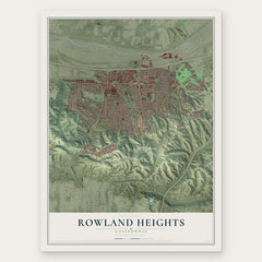
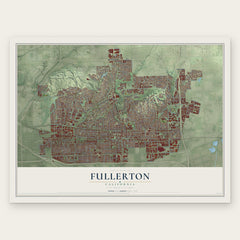
More maps nearby: La Habra, La Habra Heights, Yorba Linda, Diamond Bar and South San Jose Hills.
The art of mapping a place
How This Map Was Made
Real places. Remarkable detail. Discover the layers that turn geographic data into a map of home.

The view from above
Aerial imagery reveals the character of the land: woodland, open fields, and the patterns of a place.

The shape of the land
Elevation data brings hills, valleys, and subtle changes in the landscape into view.

The details of home
Roads, waterways, and building footprints come together to make the map feel unmistakably local.

Geography becomes art
Considered color, shading, and typography bring the layers together in a map made for your wall.


Process illustrated with Mendon, Massachusetts. Aerial imagery: USDA NAIP. Terrain: USGS 3D Elevation Program. Map details and finished artwork: KNOWOL.
The Details
About This Print
Choose an archival matte print, or a black or white Ayous wood frame. The archival matte print is unframed.
Select your size and finish above to see the matching product image and price.
Materials & Craftsmanship
A contemporary map with the character of a classic atlas, printed on archival matte paper. Optional frames are made from Ayous wood.
Your printed map does not include the watermark shown in the full-map preview.
Shipping & Delivery
Free shipping within the United States. Every print is made to order in the USA.
Buying a gift? Add a note in your cart and we'll include it. We never put prices in the package.
Prints ship within 2 to 3 business days. Allow 7 to 10 days total from ordering for delivery. Timing may vary during holidays or periods of high order volume.
Read our shipping policy.
Returns and damaged prints
Each print is made to order. Change-of-mind refunds are not available after production.
If your print arrives damaged, misprinted or incorrect, contact support@knowol.com within 30 days of receiving it. Include your order number, photos and a description of the issue.
Read our full refund and replacement policy. For questions about your order, email support@knowol.com.