
Search for another town




Free U.S. delivery 7 to 10 days after you order
Yorba Linda, California Map Art
Building by building, with labeled streets and shaded relief.
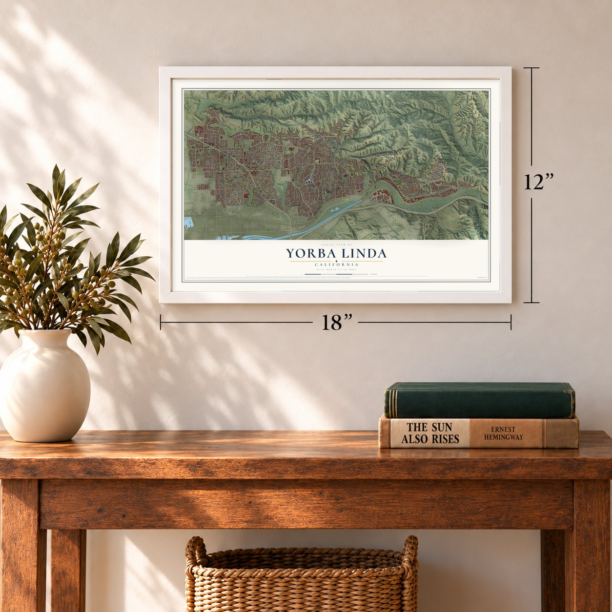
12" x 18" Archival Matte Print
A Map of Home. A Work of Art.
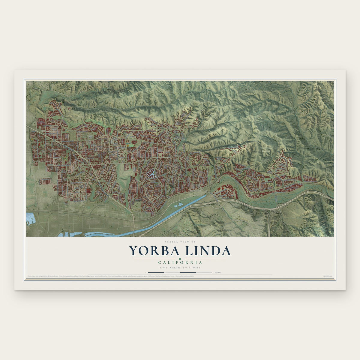
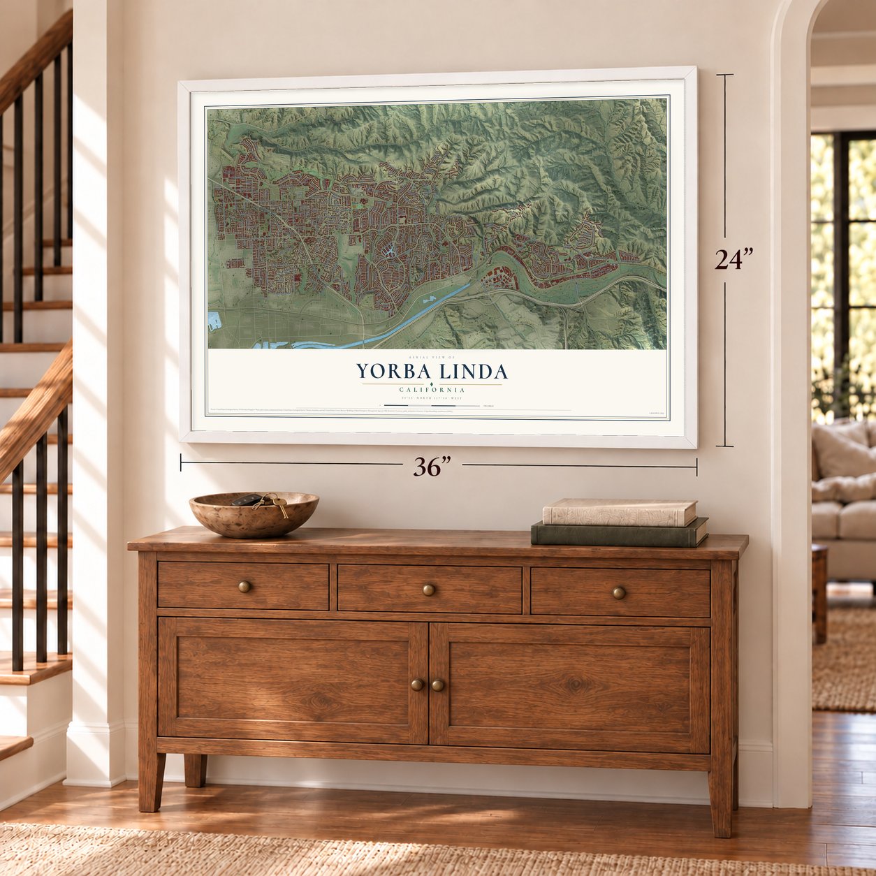
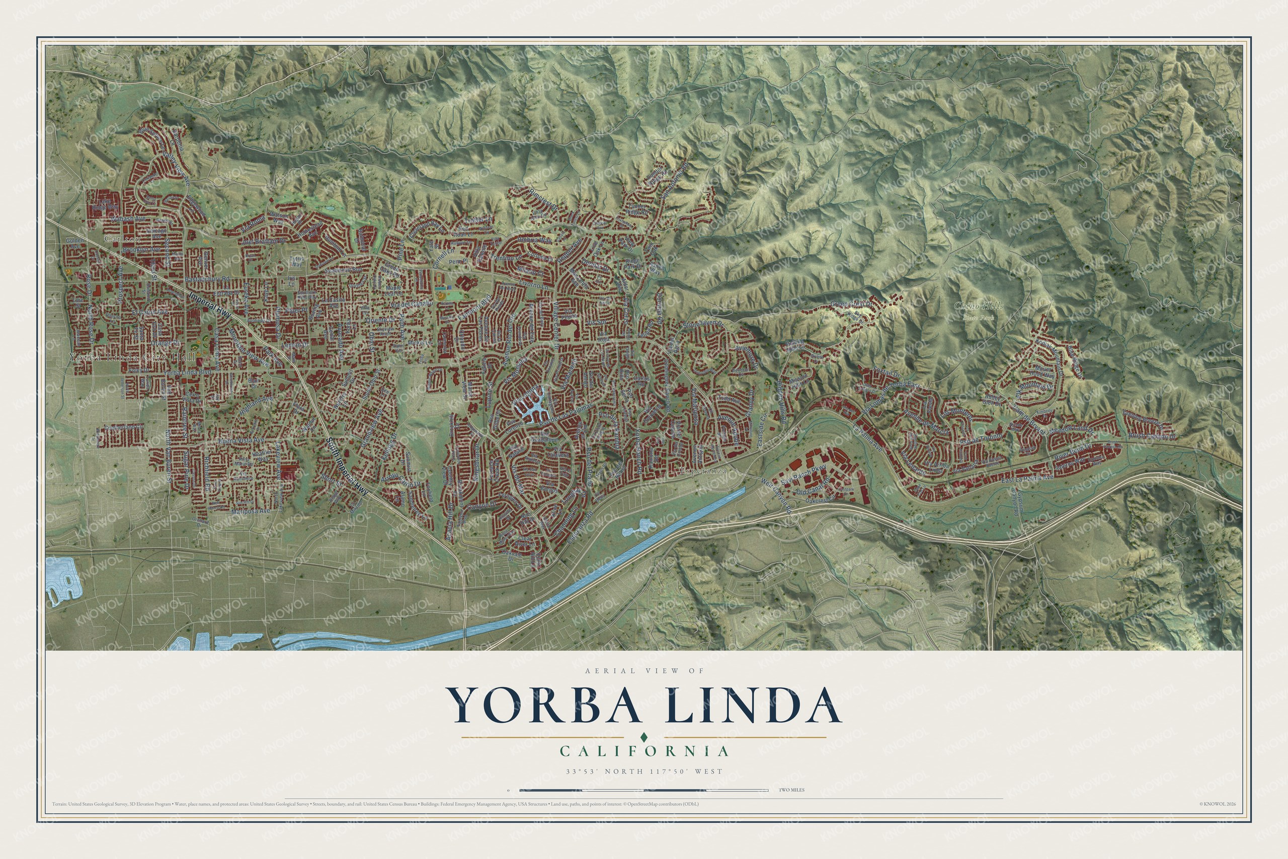
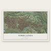
Explore Yorba Linda, California from a whole new perspective. Created using aerial imagery and detailed geographic data, this map captures Yorba Linda building by building, with labeled streets, familiar landmarks, and shaded topographical relief that highlights the natural contours of the landscape.
Combining modern data with the timeless character of a vintage atlas, this map is just as interesting up close as it is beautiful on the wall. Whether you grew up in Yorba Linda, spent memorable years there, or call it home today, this unique map is a great way to celebrate a place that means something to you. Zoom in on the preview to look for your street, and then order a print to put your memories on the wall.
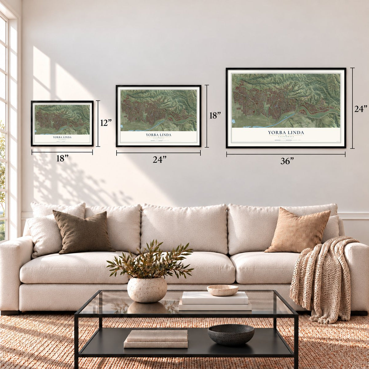
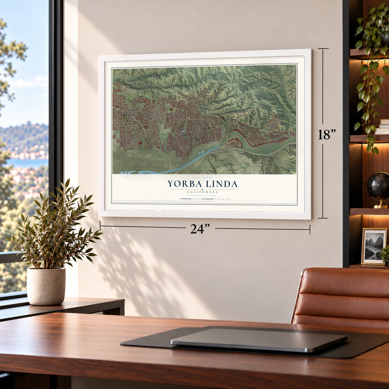
Three ways to hang it
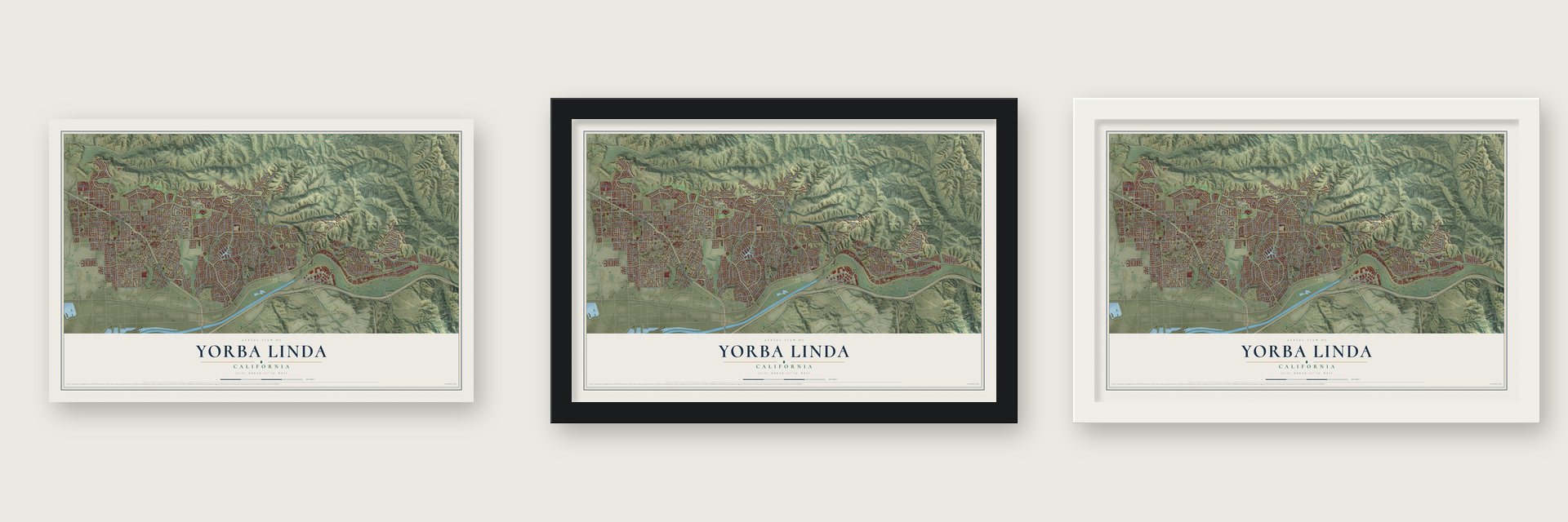
Unframed archival matte, a black wood frame or a white wood frame.
Up close
Geography Worth Displaying
This map was created using accurate cartographic data and authoritative geographic sources, including the U.S. Geological Survey and the Census Bureau. The map brings together terrain, waterways, roads, and building detail. The majority of the streets are labeled, houses are accurately depicted, and the topography is derived from government sources. Combining local data with carefully composed color and shading leads to this beautifully detailed Yorba Linda artwork for your wall.
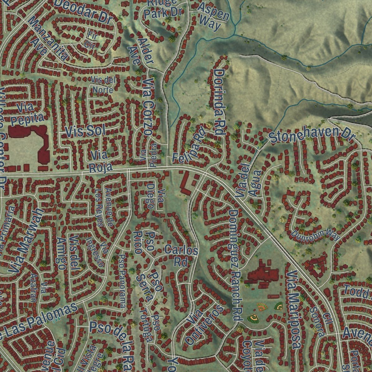
Rather than simply showing street outlines, we’ve included as many of the street names as we could reasonably fit on the map while keeping their names legible. Zoom in on the high resolution preview to see exactly what’s on the map. We truly set out to create a statement piece for anyone who loves Yorba Linda. So whether it’s for you, or a gift for someone you love, we hope this map of Yorba Linda brings back fond memories.
Read the story behind this map of Yorba Linda, California from 2026.
Find your street
Names on the Yorba Linda map
Every name below is printed on this map. Look for your street, your school, the park where you played, or the pond down the road.
Places and landmarks4
- Yorba Linda City Hall
- Carlton
- Esperanza
- Chino Hills State Park
Streets and roads311
- Imperial Highway
- South Imperial Highway
- La Palma Avenue
- Hidden Hills Road
- Cam de Bryant
- North Van Buren Street
- Yorba Linda Boulevard
- Fairmont Boulevard
- Esperanza Road
- Highland Avenue
- Brooklyn Avenue
- Eastside Circle
- Raintree Street
- Sugar Pine Drive
- Eureka Avenue
- Bastanchury Road
- Village Center Drive
- Valley View Avenue
- Lakeview Avenue
- Buena Vista Avenue
- Pso de Las Palomas
- Vis del Mar
- Yorba Ranch Road
- East La Palma Avenue
- Via Lomas de Yorba East
- Ohio Street
- Mountain View Avenue
- Vis Montana
- Rose Drive
- North Rose Drive
Show all 311 streets
- Savi Ranch Parkway
- San Antonio Road
- Grandview Avenue
- Casa Loma Avenue
- Prospect Avenue
- Richfield Road
- Vis Laguna
- Brush Canyon Drive
- Oriente Drive
- Pso de Toronto
- Stonehaven Drive
- Avocado Avenue
- Via Marwah
- Kellogg Drive
- Pso del Prado
- Weir Canyon Road
- Arroyo Cajon Drive
- Orange Drive
- El Cajon Avenue
- Avenue Rio del Oro
- Avenue de Marcia
- Green Crest Drive
- Livorno Lane
- River Bend Drive
- Plumosa Drive
- Kingsbriar Drive
- Canyon Drive
- Old Canal Road
- Pine Lane
- Palm Avenue
- Pepper Avenue
- Avenue Adobe
- Wabash Avenue
- Dorinda Road
- Third Street
- Umbria Way
- Mariposa Avenue
- Via Lenardo
- Lemon Drive
- Los Monteros
- Via Mariposa
- Pso de la Rambla
- Elk Mountain Drive
- Meadow Land Drive
- Acacia Hill Drive
- Deodar Drive
- Second Street
- Rimcrest Drive
- Joel Brattain Drive
- Short Street
- Milano Court
- Via del Caballo
- Lupine Street
- Via Roma
- Granby Drive
- Aviemore Drive
- Piper Place
- Foxtail Drive
- Channing Lane
- Via Corzo
- Longbay Drive
- Cornell Lane
- Trentino Lane
- Park Avenue
- Trotter Lane
- Vis Sol
- Santa Fe Street
- Van Buren Street
- Pso Serra
- Pso Rico
- Dominguez Ranch Road
- Kodiak Mountain Drive
- Casa Oro Drive
- Avenue de Las Flores
- Manzanita Avenue
- South Ohio Street
- Gypsum Canyon Road
- La Entrada Drive
- Mission Hills Lane
- Country View Drive
- Gardenia Lane
- Oakcrest Circle
- Evening Breeze Drive
- Avenue del Este
- Avenue el Cid
- Ramona Road
- Felicia Drive
- Avenue Antigua
- Via Vallarta
- Blue Spruce Lane
- Condor Ridge Road
- Cleveland Bay Lane
- Fernglen Drive
- Cumberland Circle
- Seabiscuit Run
- Alamo Lane
- Chicago Avenue
- Ridge Park Drive
- Live Oak Lane
- Sunmist Drive
- Pso Gilberto
- Blue Ridge Drive
- Saddletree Lane
- Salerno Way
- Pso del Retiro
- Todd Avenue
- Homestead Avenue
- Via Guadalupe
- Cortona Court
- Red Roan Lane
- Via del Agua
- Brookmont Drive
- Via Pepita
- Rolling Hills Lane
- Furnace Creek Road
- Via Natalie
- Mount Hood Way
- Watson Way
- Felipa Road
- Carlos Road
- Maple Leaf Lane
- Edgewood Lane
- La Casita Avenue
- Mickel Lane
- Vis del Amigo
- Manor View Drive
- Timber Ridge Road
- Lake Ridge Way
- Via Arriba Linda
- Humbolt Lane
- Pso Lorenzo
- Via del Coyote
- Cerro Vista Drive
- Brookhill Drive
- View Park Drive
- Denver Avenue
- Green Oaks Road
- Foxfield Lane
- Via Ontiveros
- Clear River Lane
- Heather Way
- Abbey Glen Drive
- Golden Avenue
- Villa Valente
- Echo Hill Lane
- Orlando Drive
- Summit Drive
- Walnut Lane
- Norcris Lane
- Balmoral Drive
- Via Burgos
- Via Talavera
- Alder Avenue
- Foley Drive
- Twin Oak
- Boeing Avenue
- Kaye Lane
- Oakvale Drive
- Kline Lane
- La Fiesta
- Nob Hill Drive
- Yale Street
- Penn Place
- Aspen Way
- Loie Street
- Flora Drive
- Yorba Lane
- Tytris Way
- Via Roja
- Blair Drive
- Cedar Avenue
- Iris Lane
- Gallal Way
- North Lakeview Avenue
- Torida Way
- Avolinda Drive
- Sky Ridge Drive
- Avenue del Tren
- Dorthea Street
- Picasso Drive
- Via Primaria
- Drake Street
- Rancho Lane
- Cll Sonora
- Skyview Knoll
- Via del Prado
- Via Buena Suerte
- Via del Buey
- Main Street
- Deveron Cv
- Corsica Way
- Vista Glen Circle
- Nicole Way
- Cll Mirador
- Anna Marie Road
- Via Ranchero
- Via Cartagena
- Hillside Drive
- Portage Street
- Carmonita Lane
- Auburn Lane
- Via Frondosa
- Ridge Way
- Osmond Street
- Cll Vista Alegre
- Pso Tortuga
- Southern Hills Way
- Via del Conejo
- Jeanean Lane
- Hogan Drive
- Orchard Drive
- Fairlynn Boulevard
- Via Almeria
- Jay Street
- Via Diego
- Via la Quinta
- Cll Bella
- Via el Tajo
- Palm Vis
- Villa Terrace
- Dee Lane
- Pso Panorama
- Dunrobin Way
- Marda Avenue
- Los Estados
- Via Azafran
- Ridgewood Place
- Eastpark Drive
- Lynnbrook Plaza
- Trail View Place
- Travis Road
- Cassia Lane
- Wagon Wheel Drive
- Oaklawn Lane
- Harlan Drive
- Box Canyon Drive
- Avenue del Norte
- Santa Cruz Court
- Via Verano
- Casson Drive
- Hidden Oaks Drive
- North Jefferson Street
- Aspenglow Lane
- Ridge Manor Way
- Brush Canyon Road
- Windemere Drive
- Via San Lucar
- Millstone Place
- Avenue Barcelona
- Woodcrest Drive
- Avenue de Los Reyes
- Ranch Drive
- Pepperdine Place
- Berryhill Drive
- Skyline Drive
- Coriander Court
- Foxhollow Drive
- Via del Rio
- Villa Torino
- Black Forest Lane
- Sun Hill Drive
- Neff Ranch Road
- Via Trovador
- Kimberly Drive
- Via Ingresso
- Marsala Drive
- Cam Famosa
- Via Donaldo
- Chateau Avenue
- Odessa Drive
- Winners Circle
- Cape Cod Lane
- Via Piedra
- Verona Lane
- Vis del Norte
- Acorn Court
- Mesita Way
- Yorba Vis
- Bryan Court
- Via Inez
- Fir Circle
Names are listed as they appear on the printed map. Zoom into the product photos to find them.
About Yorba Linda, California
Yorba Linda's name joins the surname of ranchero Bernardo Yorba with the Spanish word linda, meaning beautiful. The Janss Investment Company coined the name in 1908 while subdividing former ranch land. Citrus shaped the early community, and the city remains closely associated with Richard Nixon, who was born here in 1913.
- Named in 1908The Janss Investment Company combined Bernardo Yorba's name with the Spanish word for beautiful.
- Citrus townThe first lemon and orange groves were planted in 1910.
- Nixon birthplaceRichard Nixon was born in Yorba Linda in 1913.
- Historic cemeteryBernardo Yorba gave land for Yorba Cemetery in 1858, making it Orange County's second-oldest private cemetery.
- 68,336 peopleThe 2020 census counted 68,336 residents.
Keep exploring California
Yorba Linda is one of 1,960 California towns we've mapped. Every dot on the map is a print of its own.
The search covers every state, California first.
Near Yorba Linda
Order 2 or more town maps and save 10%. Shown in the size and finish you picked above, so they hang as a set.
- Anaheim 12" x 18" / Archival Matte Print $39.99
- Chino Hills 12" x 18" / Archival Matte Print $39.99
- Placentia 12" x 18" / Archival Matte Print $39.99


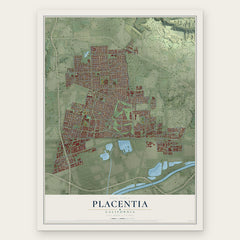
More maps nearby: Villa Park, Orange Park Acres, Brea, El Modena and Diamond Bar.
The art of mapping a place
How This Map Was Made
Real places. Remarkable detail. Discover the layers that turn geographic data into a map of home.

The view from above
Aerial imagery reveals the character of the land: woodland, open fields, and the patterns of a place.

The shape of the land
Elevation data brings hills, valleys, and subtle changes in the landscape into view.

The details of home
Roads, waterways, and building footprints come together to make the map feel unmistakably local.

Geography becomes art
Considered color, shading, and typography bring the layers together in a map made for your wall.


Process illustrated with Mendon, Massachusetts. Aerial imagery: USDA NAIP. Terrain: USGS 3D Elevation Program. Map details and finished artwork: KNOWOL.
The Details
About This Print
Choose an archival matte print, or a black or white Ayous wood frame. The archival matte print is unframed.
Select your size and finish above to see the matching product image and price.
Materials & Craftsmanship
A contemporary map with the character of a classic atlas, printed on archival matte paper. Optional frames are made from Ayous wood.
Your printed map does not include the watermark shown in the full-map preview.
Shipping & Delivery
Free shipping within the United States. Every print is made to order in the USA.
Buying a gift? Add a note in your cart and we'll include it. We never put prices in the package.
Prints ship within 2 to 3 business days. Allow 7 to 10 days total from ordering for delivery. Timing may vary during holidays or periods of high order volume.
Read our shipping policy.
Returns and damaged prints
Each print is made to order. Change-of-mind refunds are not available after production.
If your print arrives damaged, misprinted or incorrect, contact support@knowol.com within 30 days of receiving it. Include your order number, photos and a description of the issue.
Read our full refund and replacement policy. For questions about your order, email support@knowol.com.