
Search for another town

Free U.S. delivery 7 to 10 days after you order
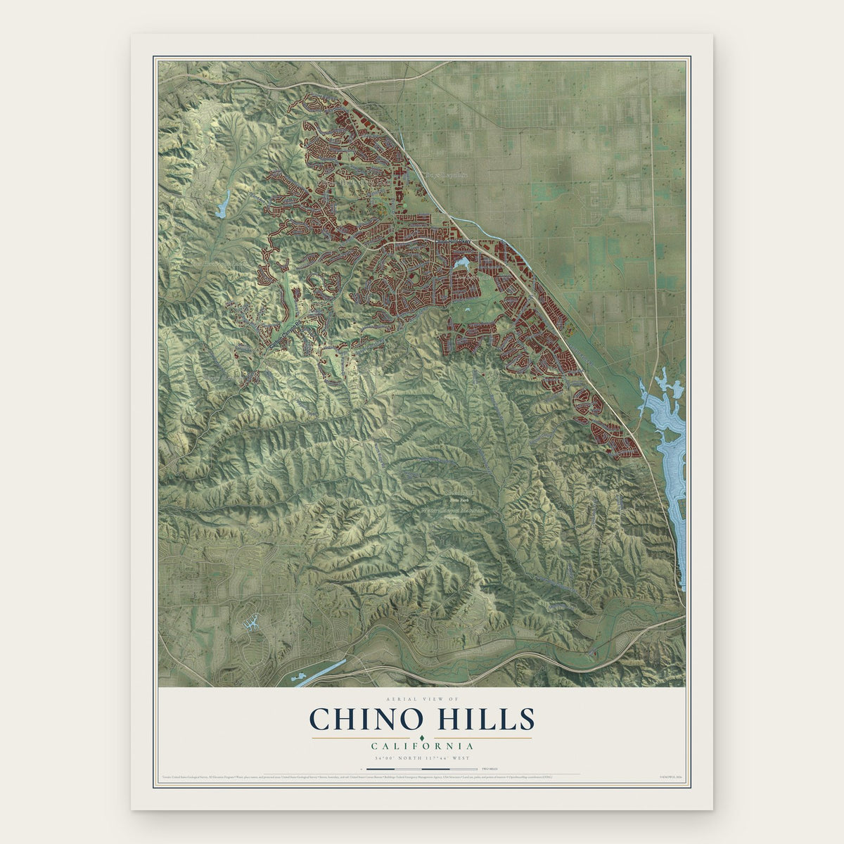
Chino Hills, California Map Art
Building by building, with labeled streets and shaded relief.
12" x 18" Archival Matte Print
A Map of Home. A Work of Art.
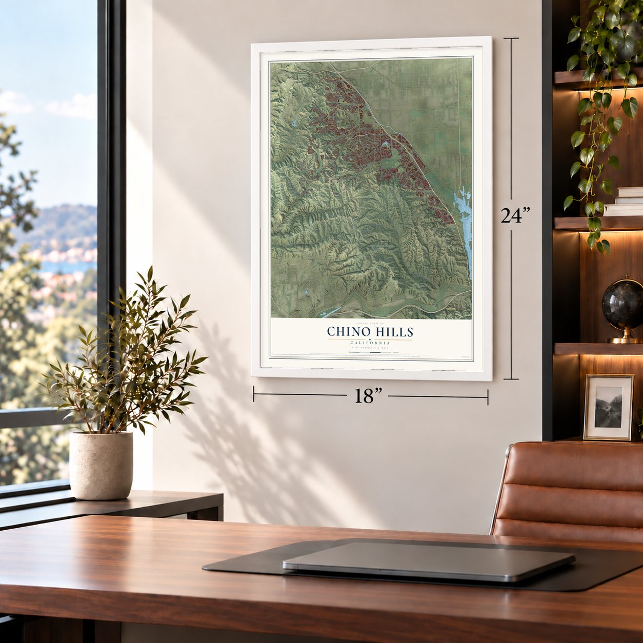
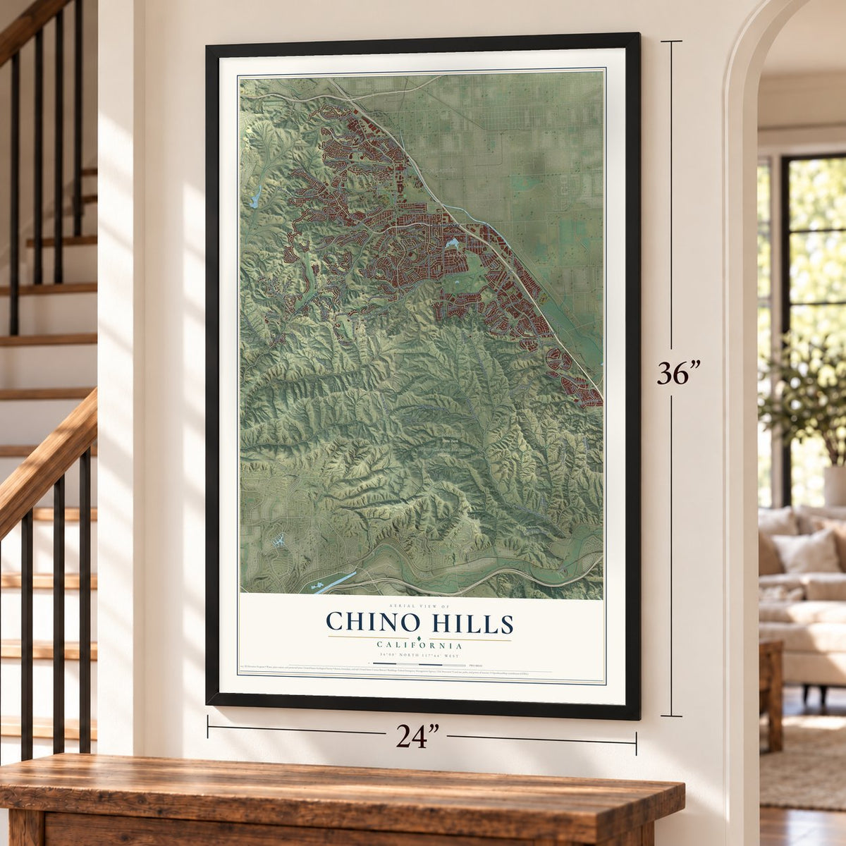
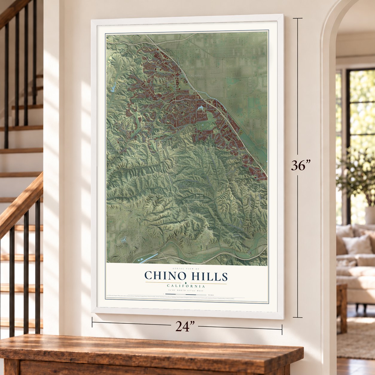
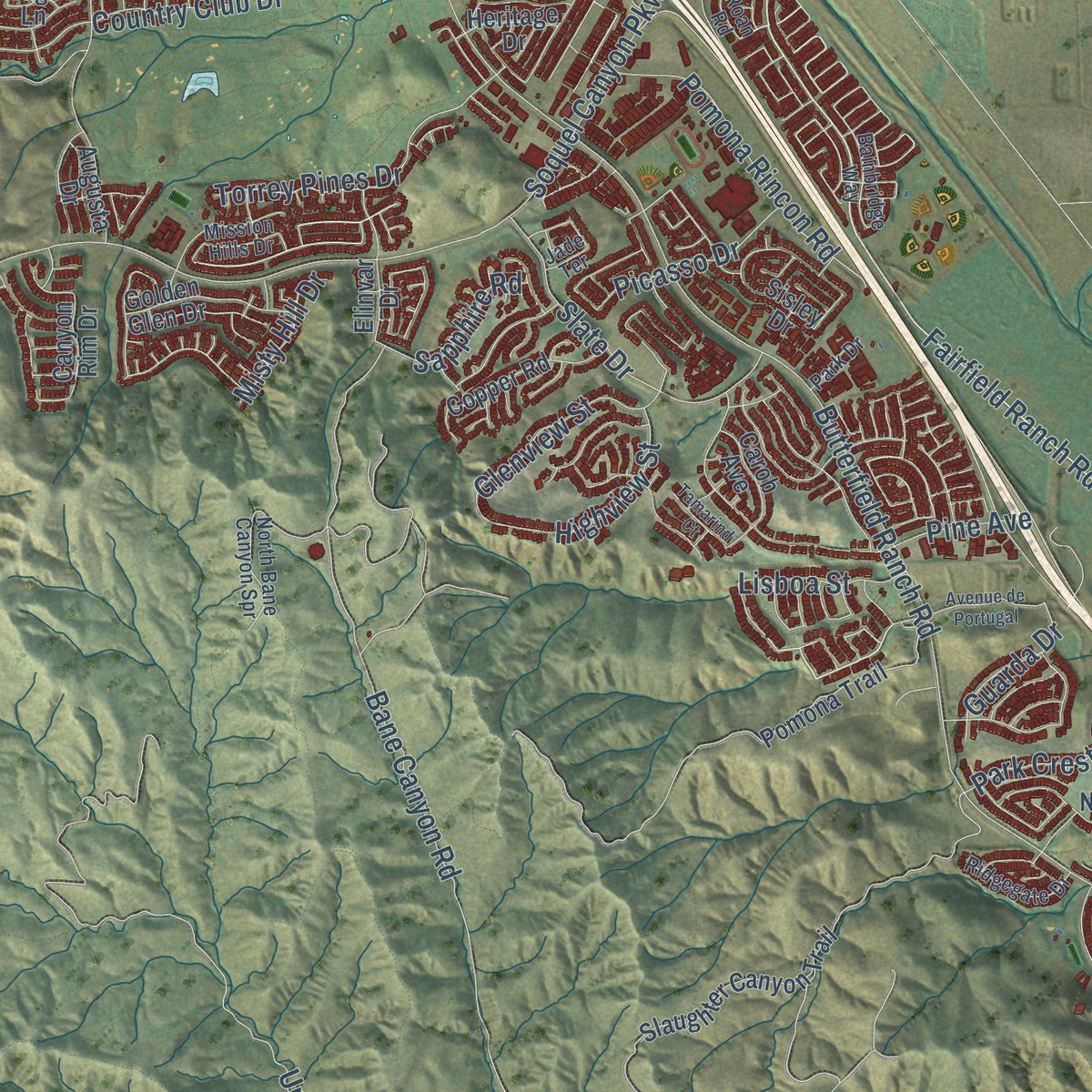
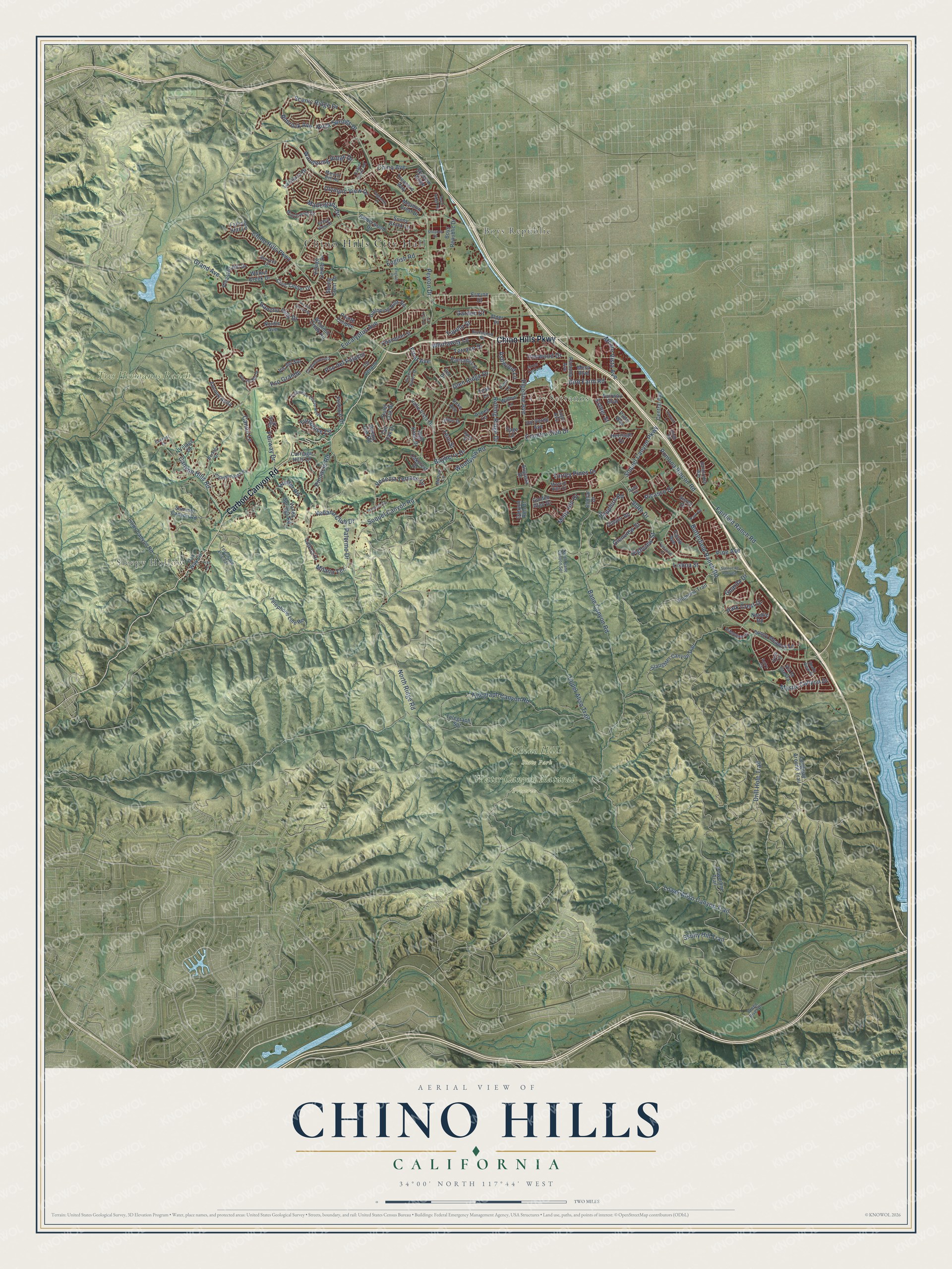
Explore Chino Hills, California from a whole new perspective. Created using aerial imagery and detailed geographic data, this map captures Chino Hills building by building, with labeled streets, familiar landmarks, and shaded topographical relief that highlights the natural contours of the landscape.
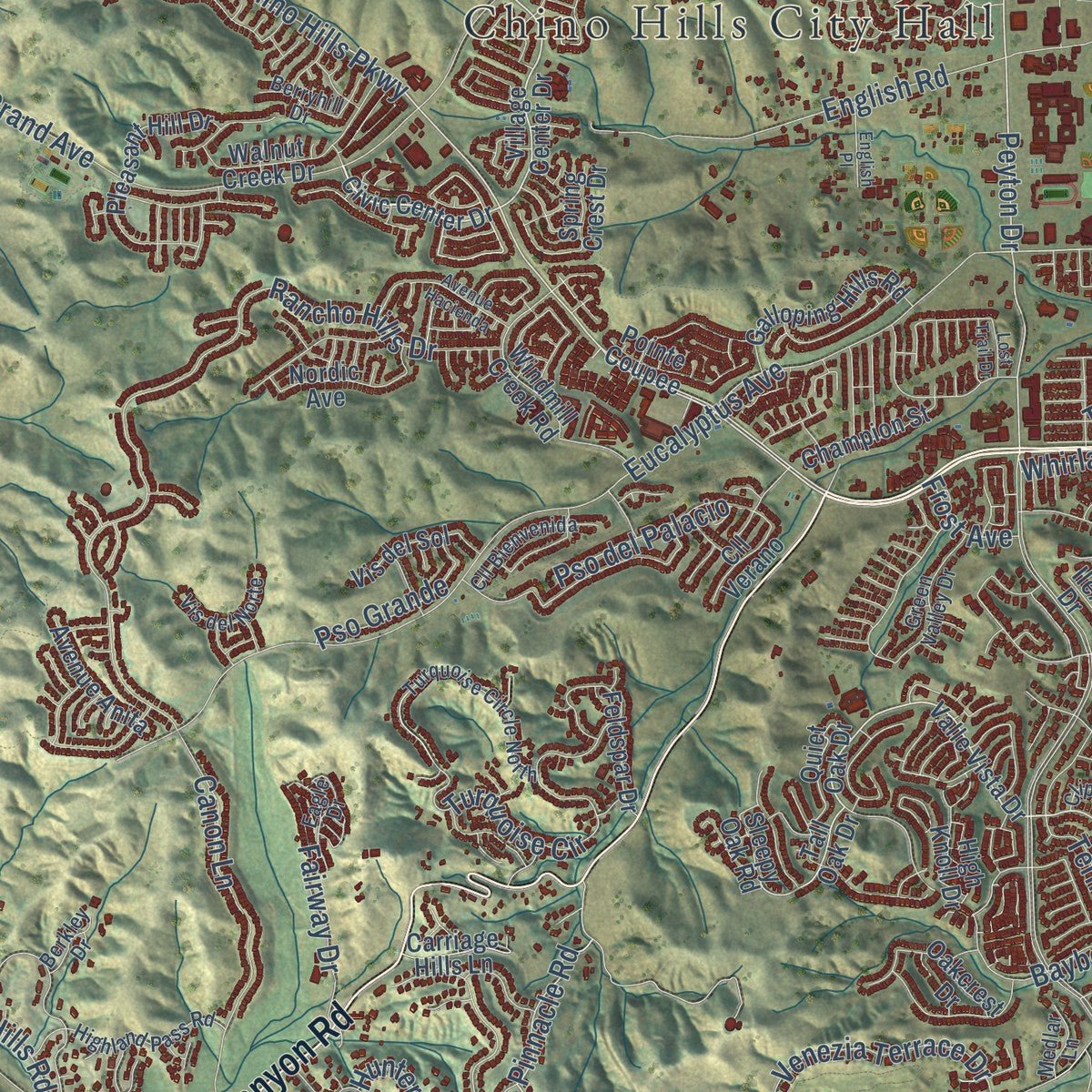
Combining modern data with the timeless character of a vintage atlas, this map is just as interesting up close as it is beautiful on the wall. Whether you grew up in Chino Hills, spent memorable years there, or call it home today, this unique map is a great way to celebrate a place that means something to you. Zoom in on the preview to look for your street, and then order a print to put your memories on the wall.
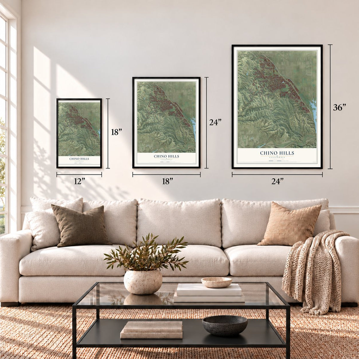
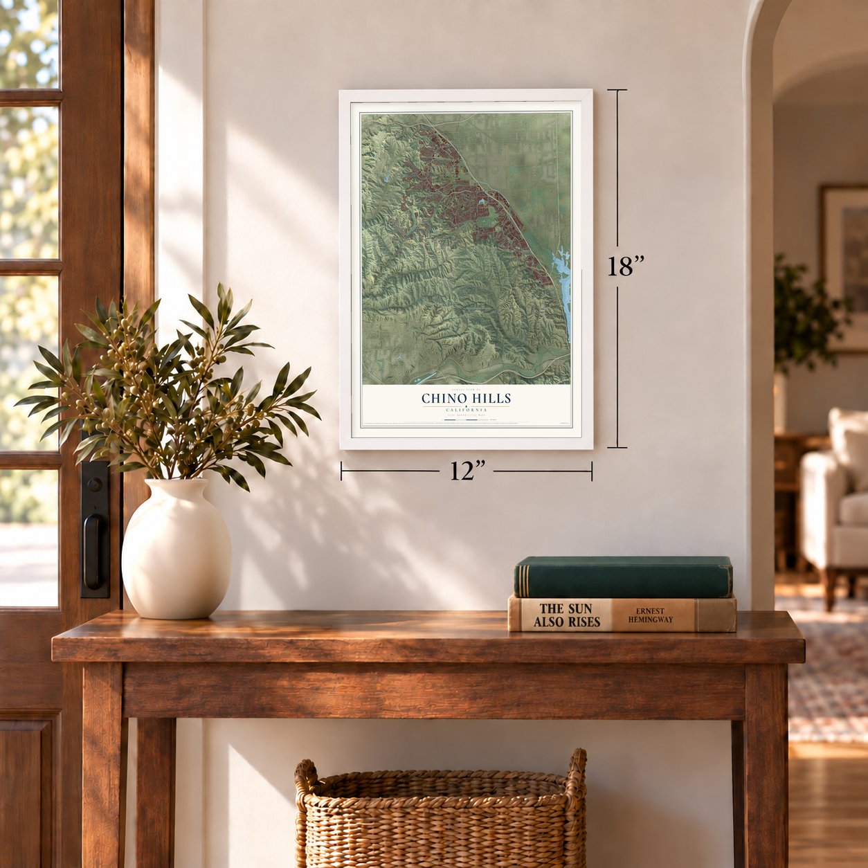
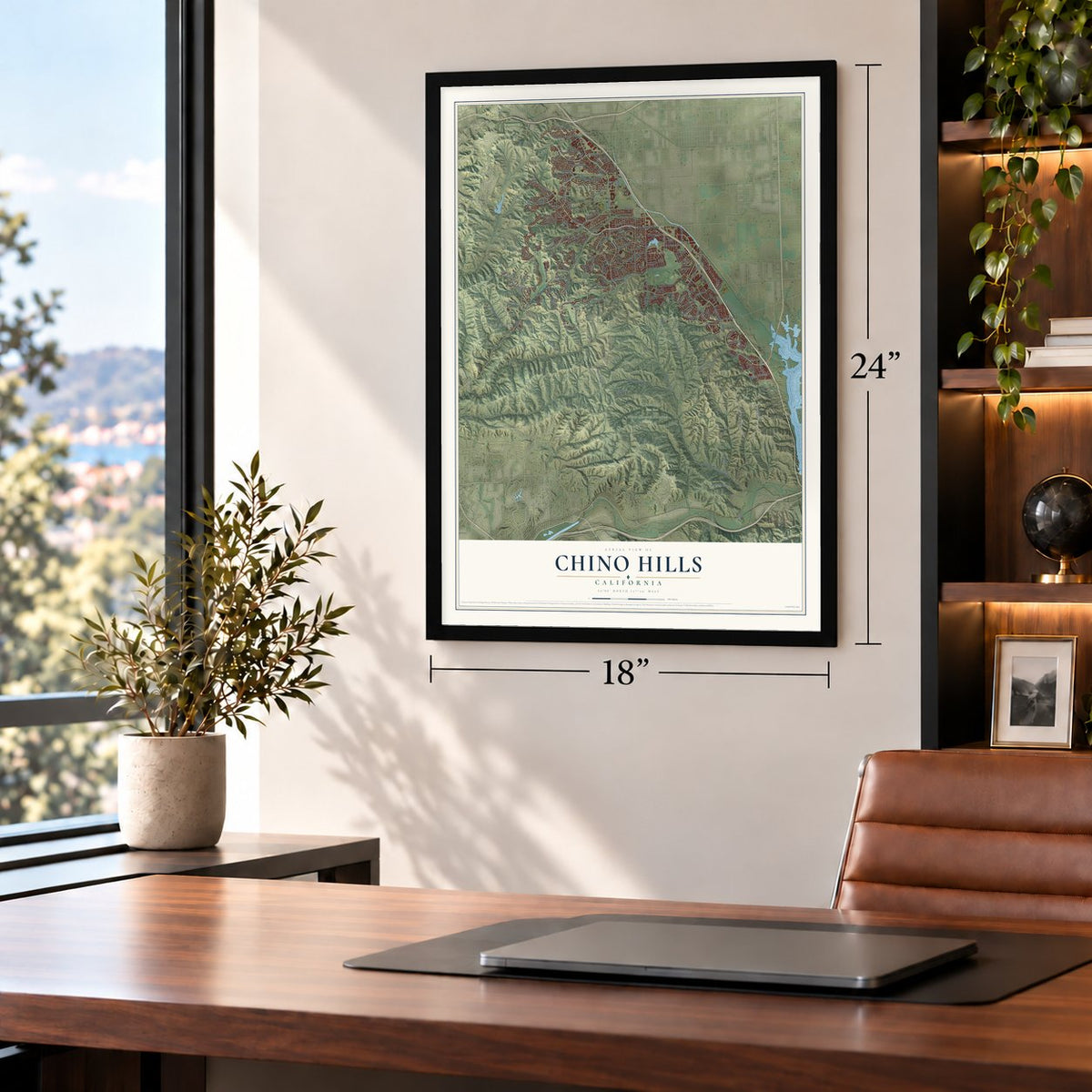
Three ways to hang it
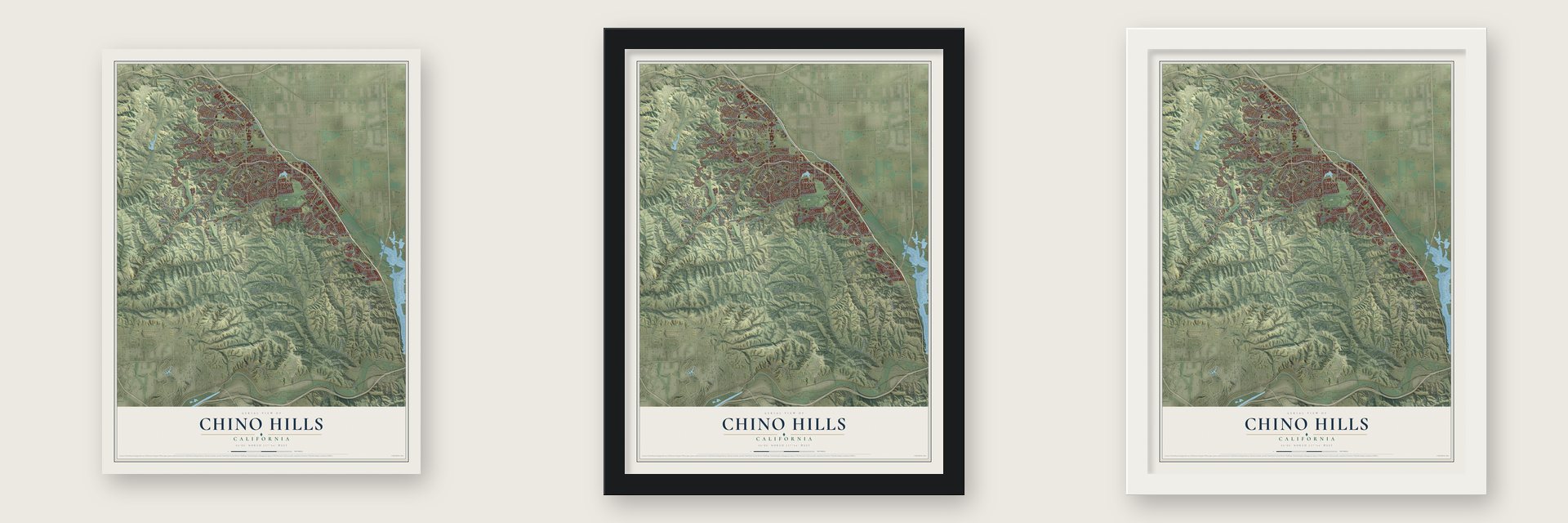
Unframed archival matte, a black wood frame or a white wood frame.
Up close
Geography Worth Displaying
This map was created using accurate cartographic data and authoritative geographic sources, including the U.S. Geological Survey and the Census Bureau. The map brings together terrain, waterways, roads, and building detail. The majority of the streets are labeled, houses are accurately depicted, and the topography is derived from government sources. Combining local data with carefully composed color and shading leads to this beautifully detailed Chino Hills artwork for your wall.
Rather than simply showing street outlines, we’ve included as many of the street names as we could reasonably fit on the map while keeping their names legible. Zoom in on the high resolution preview to see exactly what’s on the map. We truly set out to create a statement piece for anyone who loves Chino Hills. So whether it’s for you, or a gift for someone you love, we hope this map of Chino Hills brings back fond memories.
Read the story behind this map of Chino Hills, California from 2026.
Find your street
Names on the Chino Hills map
Every name below is printed on this map. Look for your street, your school, the park where you played, or the pond down the road.
Places and landmarks7
- Chino Hills City Hall
- Boys Republic
- Sleepy Hollow
- Los Serranos
- Chino Hills State Park
- Tres Hermanos Ranch
- Water Canyon Natural Preserve
Streets and roads177
- Chino Hills Parkway
- Carbon Canyon Road
- Peyton Drive
- Lower Aliso Canyon Trail
- Fairfield Ranch Road
- Scenic Ridge Drive
- Olympic View Drive
- Bane Canyon Road
- Eucalyptus Avenue
- Pinnacle Road
- Bird Farm Road
- Woodview Road
- Grand Avenue
- Telegraph Canyon Road
- Butterfield Ranch Road
- Upper Aliso Trail
- Chino Avenue
- Rancho Hills Drive
- Pipeline Avenue
- Soquel Canyon Road
- Bayberry Drive
- Soquel Canyon Parkway
- Skully Hill Trail
- Pomona Rincon Road
- Canon Lane
- Turquoise Circle
- Rolling Ridge Drive
- Pine Avenue
- North Ridge Road
- Fairway Drive
Show all 177 streets
- Canyon Hills Road
- Glen Ridge Drive
- Mystic Canyon Drive
- Country Club Drive
- English Road
- Drill Hole Trail
- Vellano Club Drive
- Slate Drive
- Venezia Terrace Drive
- Whirlaway Lane
- Torrey Pines Drive
- Rock Springs Drive
- Monte Vista Avenue
- Tern Street
- Wandering Ridge Drive
- Highview Street
- Pso del Palacio
- Glenview Street
- Terrace Drive
- Picasso Drive
- Park Crest Drive
- Madrugada Drive
- Rimrock Avenue
- Palermo Drive
- Ashwood Lane
- Sapphire Road
- Guarda Drive
- Pso Grande
- Lisboa Street
- Misty Hill Drive
- Ironwood Drive
- Tupelo Street
- Milano Terrace
- Hunter Road
- Garden Court
- Frost Avenue
- Esther Street
- Valle Vista Drive
- Village Center Drive
- Civic Center Drive
- Amberwood Drive
- Ramona Avenue
- Tall Oak Drive
- Alder Place
- Sleepy Oak Road
- Quiet Oak Drive
- Longway Around Trail
- Telephone Line Road
- Powerline Trail
- Slaughter Canyon Trail
- Pomona Trail
- Village Drive
- Lions Canyon Road
- Pleasant Hill Drive
- Valley Springs Road
- Lugo Avenue
- Fairway Boulevard
- Central Avenue
- Windmill Creek Road
- Feldspar Drive
- Walnut Creek Drive
- Galloping Hills Road
- Boys Republic Drive
- Sunny Meadow Lane
- Skyview Ridge
- Val Verde Avenue
- Natalie Road
- Copper Road
- La Sierra Drive
- Golden Glen Drive
- Summer Canyon Road
- Palisades Street
- Champion Street
- Aspen Lane
- Pointe Coupee
- High Knoll Drive
- Via la Cresta
- Carob Avenue
- Avenue Anita
- Telegraph Spr
- Catena Drive
- Carriage Hills Lane
- Nordic Avenue
- Sunny Brook Lane
- Ilex Drive
- Oakcrest Drive
- Vis del Sol
- Willow Lane
- Heritage Drive
- Canyon Rim Drive
- Ermine Drive
- Treasure Way
- Mesa Boulevard
- Meadow Crest Drive
- Sisley Drive
- Oak Way Lane
- Pine Lane
- Augusta Drive
- Cll Verano
- Spring Crest Drive
- Sage Lane
- Falling Star Lane
- Elinvar Drive
- Teak Lane
- Duke Avenue
- Pinto Way
- Monteverde Drive
- Turquoise Circle North
- Telephone Line Spr
- Highland Pass Road
- North Bane Canyon Spr
- Sprig Street
- Shady View Drive
- Green Valley Drive
- Cll Bienvenida
- Eagle Crest Road
- Bainbridge Way
- Ridgegate Drive
- Vis del Norte
- Eagle Drive
- Clipper Drive
- Maroon Bell Road
- Berryhill Drive
- Medlar Lane
- Green River Drive
- Everest Drive
- Mission Hills Drive
- Berkley Drive
- Valley View Drive
- Park Drive
- Viola Terrace
- Roan Road
- Jade Terrace
- Autry Court
- Avenue de Portugal
- Buckingham Road
- Circle Park Lane
- Versante Terrace
- Royal Ridge Road
- Avenue Hacienda
- Shoppes Drive
- English Place
- Pageantry Place
- Hay Drive
- Lanyard Lane
- Tamarind Court
- Lost Trail Drive
Names are listed as they appear on the printed map. Zoom into the product photos to find them.
About Chino Hills, California
Chino Hills is a city of 78,411 people in San Bernardino County, at the western edge of the Inland Empire. Before the Spanish came, the Tongva village of Wapijanga linked the Tongva with their Serrano neighbors, and a second Tongva village, Pasinogna, also stood on this ground. Once the Spanish built Mission San Gabriel in 1771, its extra cattle and horses were sent here to graze. In 1841 the land went to Antonio Maria Lugo as part of Rancho Santa Ana del Chino.
Ranchers kept running cattle here after Mexico gave California to the United States in 1848. Richard Gird, a miner from Tombstone, Arizona, bought the land in 1881 and planned to develop it. An economic depression forced him to sell in 1893 to real estate investors, who built the town of Chino. The hills stayed mostly dairies and horse country until housing tracts spread in the 1980s, and Chino Hills became a city in 1991 with 42,000 people.
- Boys Republic since 1909Boys Republic was founded in 1907 and moved to Chino Hills two years later, in 1909. The school still works with young people today, and every holiday season it ships its well-known Della Robbia wreaths around the world.
- A battle in 1846The Battle of Chino, a notable fight of the Mexican-American War, was fought on ground that now lies inside Chino Hills.
- A Butterfield stage stopWhile the gold rush brought crowds to Northern California, Southern California ranchers grew rich selling beef to the newcomers. In 1858 Chino Hills became a station on the Butterfield Overland Mail stagecoach line.
- Springs, golf and bootleggersIn Carbon Canyon, in today's Sleepy Hollow, La Vida Mineral Springs became a resort, and the Los Serranos Country Club followed in 1925. The canyon was remote, so it drew tourists and bootleggers during Prohibition. For the same reason, Sleepy Hollow drew hippies and artists in the 1960s.
- The 2008 earthquakeIn 2008 pressure where the Chino and Whittier faults meet set off a magnitude 5.4 earthquake centered on Chino Hills. The shaking reached people in San Diego to the south and in Las Vegas to the north.
Keep exploring California
Chino Hills is one of 1,914 California towns we've mapped. Every dot on the map is a print of its own.
The search covers every state, California first.
Near Chino Hills
Order 2 or more town maps and save 10%. Shown in the size and finish you picked above, so they hang as a set.
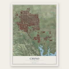
- Chino 12" x 18" / Archival Matte Print $39.99
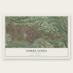
- Yorba Linda 12" x 18" / Archival Matte Print $39.99
- Anaheim 12" x 18" / Archival Matte Print $39.99

More maps nearby: Diamond Bar, Coronita, Brea, Pomona and Eastvale.
The art of mapping a place
How This Map Was Made
Real places. Remarkable detail. Discover the layers that turn geographic data into a map of home.

The view from above
Aerial imagery reveals the character of the land: woodland, open fields, and the patterns of a place.

The shape of the land
Elevation data brings hills, valleys, and subtle changes in the landscape into view.

The details of home
Roads, waterways, and building footprints come together to make the map feel unmistakably local.

Geography becomes art
Considered color, shading, and typography bring the layers together in a map made for your wall.


Process illustrated with Mendon, Massachusetts. Aerial imagery: USDA NAIP. Terrain: USGS 3D Elevation Program. Map details and finished artwork: KNOWOL.
The Details
About This Print
Choose an archival matte print, or a black or white Ayous wood frame. The archival matte print is unframed.
Select your size and finish above to see the matching product image and price.
Materials & Craftsmanship
A contemporary map with the character of a classic atlas, printed on archival matte paper. Optional frames are made from Ayous wood.
Your printed map does not include the watermark shown in the full-map preview.
Shipping & Delivery
Free shipping within the United States. Every print is made to order in the USA.
Buying a gift? Add a note in your cart and we'll include it. We never put prices in the package.
Prints ship within 2 to 3 business days. Allow 7 to 10 days total from ordering for delivery. Timing may vary during holidays or periods of high order volume.
Read our shipping policy.
Returns and damaged prints
Each print is made to order. Change-of-mind refunds are not available after production.
If your print arrives damaged, misprinted or incorrect, contact support@knowol.com within 30 days of receiving it. Include your order number, photos and a description of the issue.
Read our full refund and replacement policy. For questions about your order, email support@knowol.com.