
Search for another town
Free U.S. delivery 7 to 10 days after you order
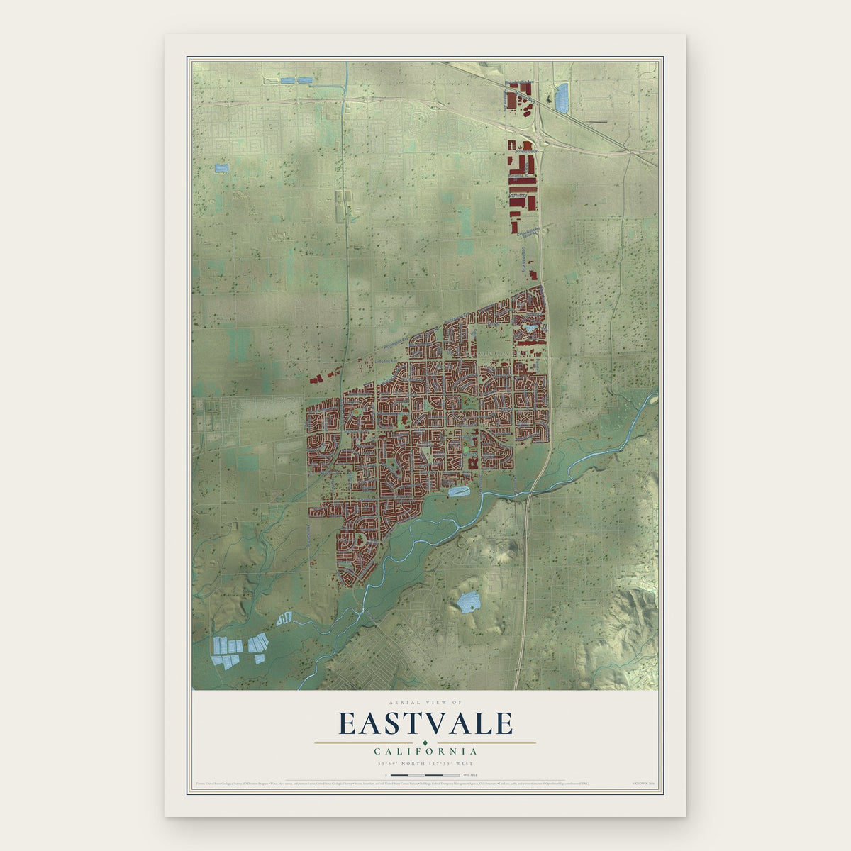
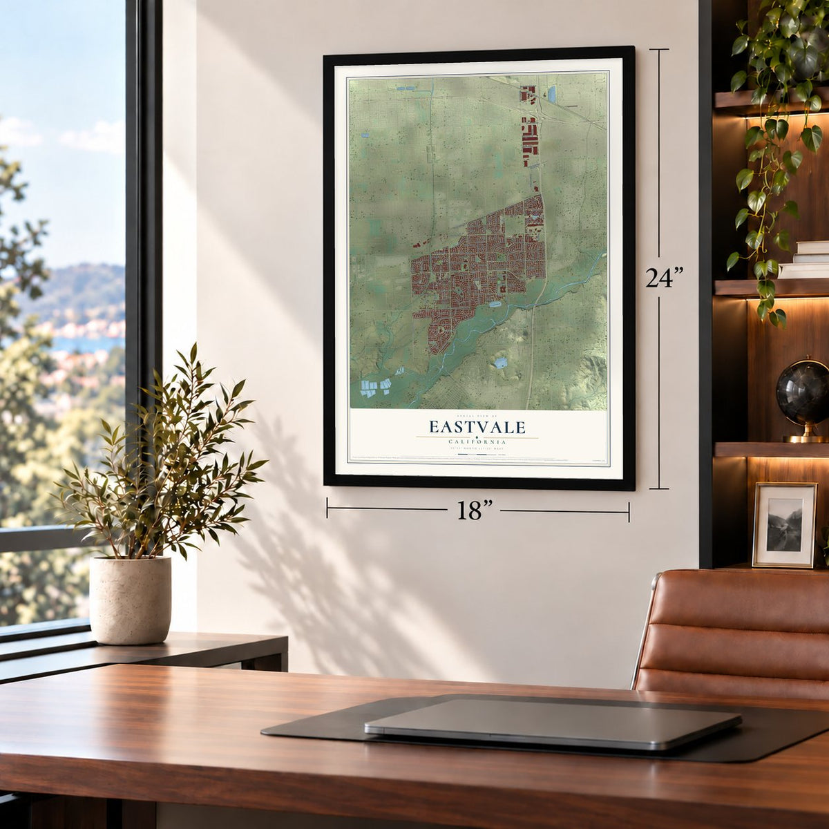
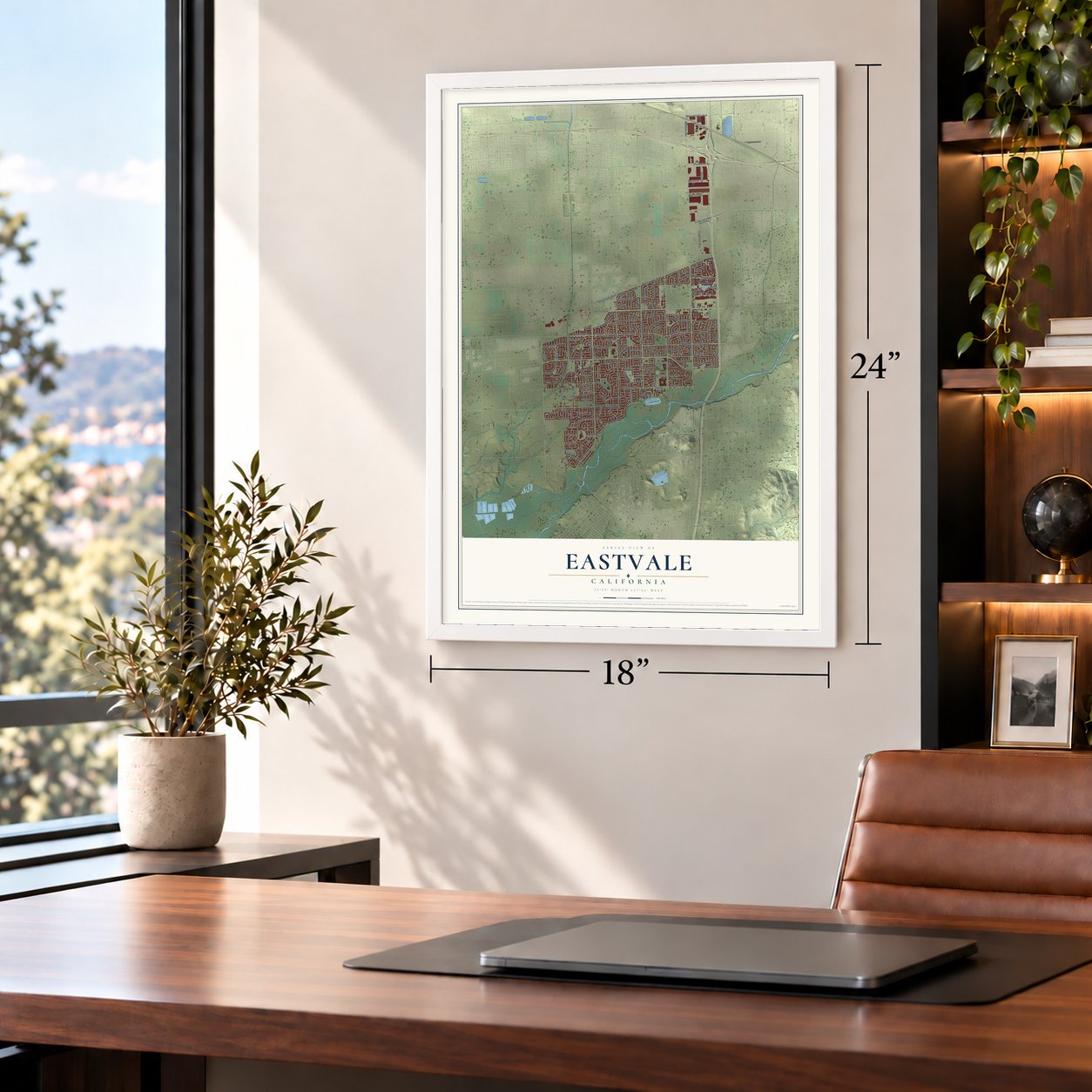
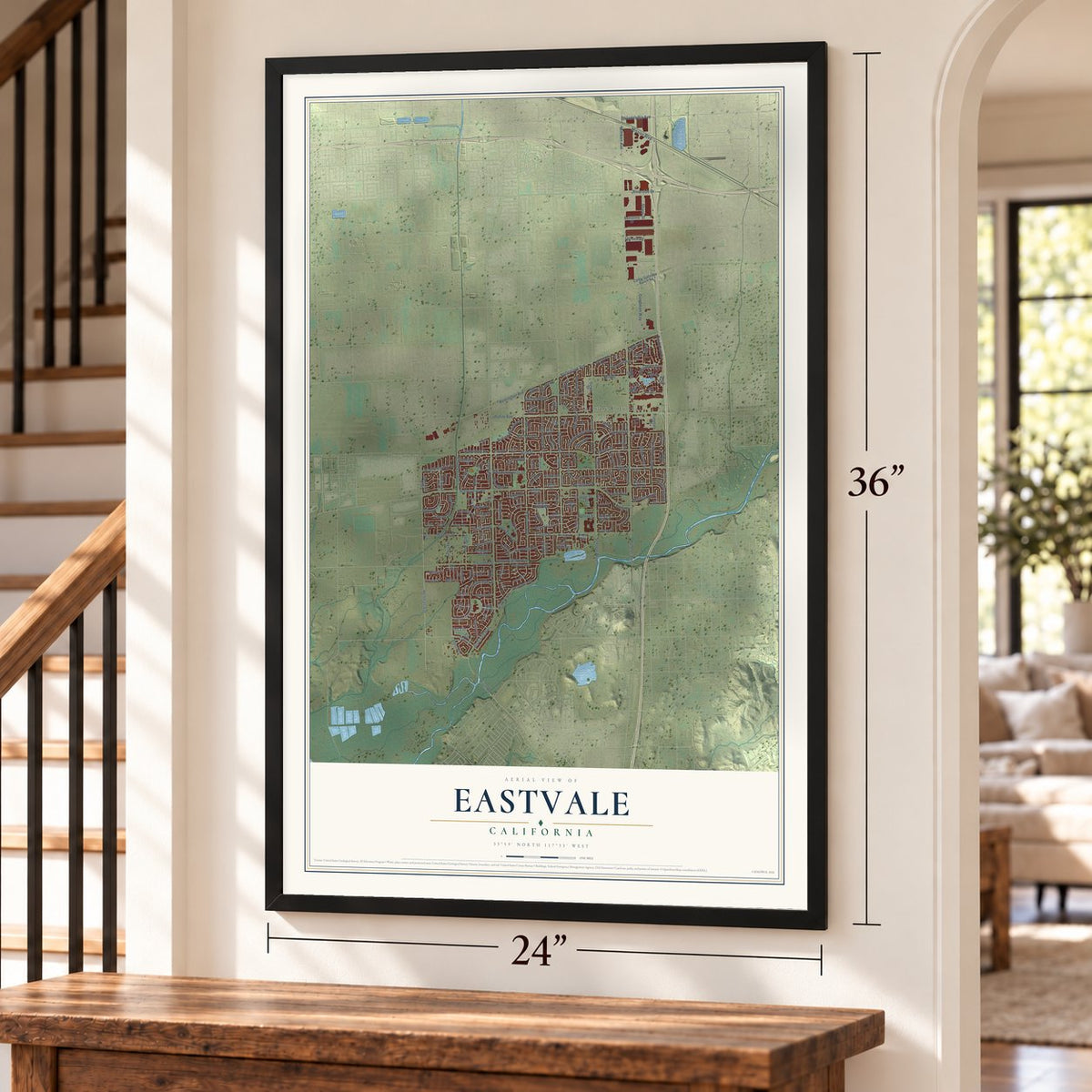
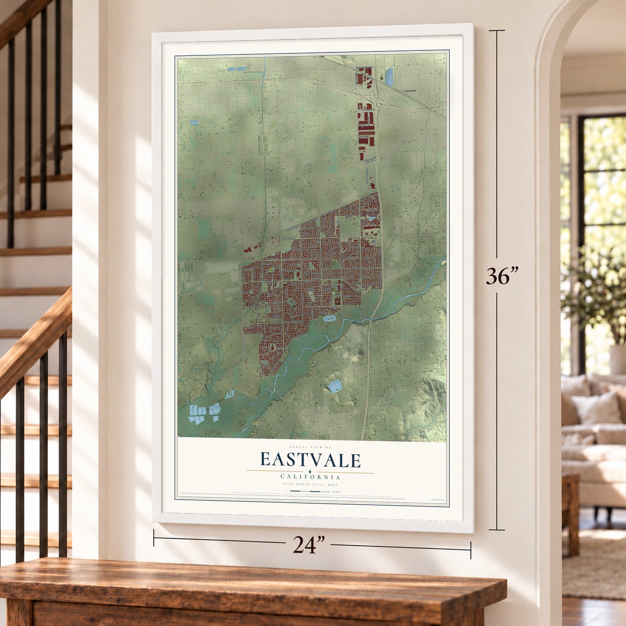
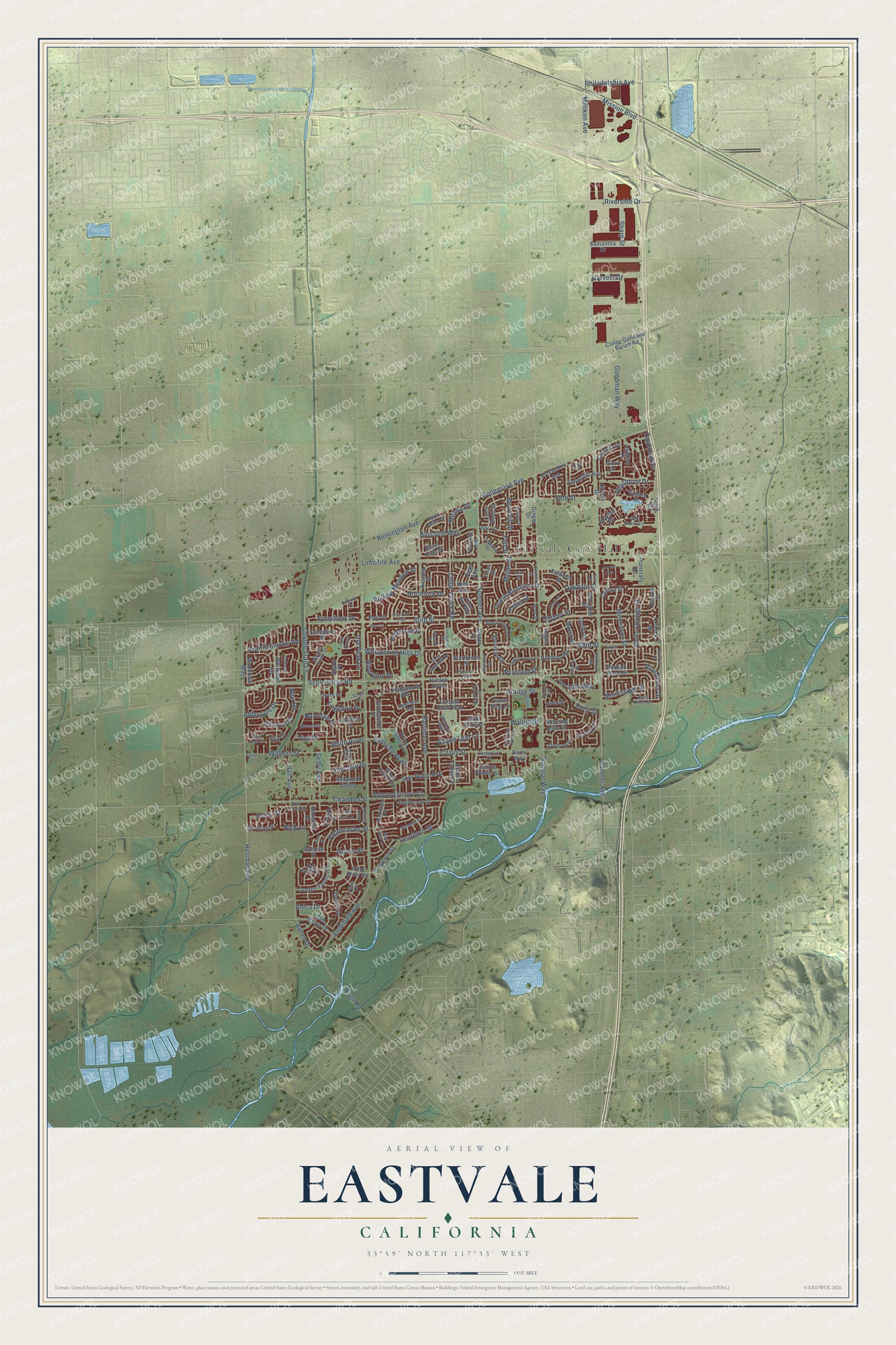
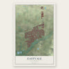
Eastvale, California Map Art
Building by building, with labeled streets and shaded relief.
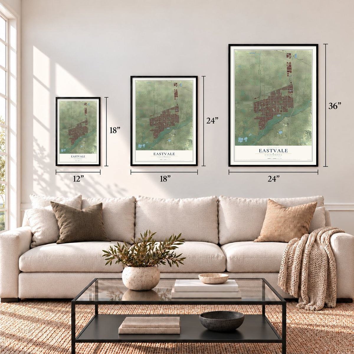
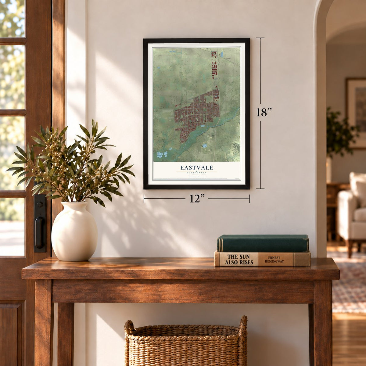
12" x 18" Archival Matte Print
A Map of Home. A Work of Art.
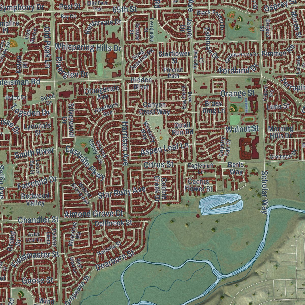
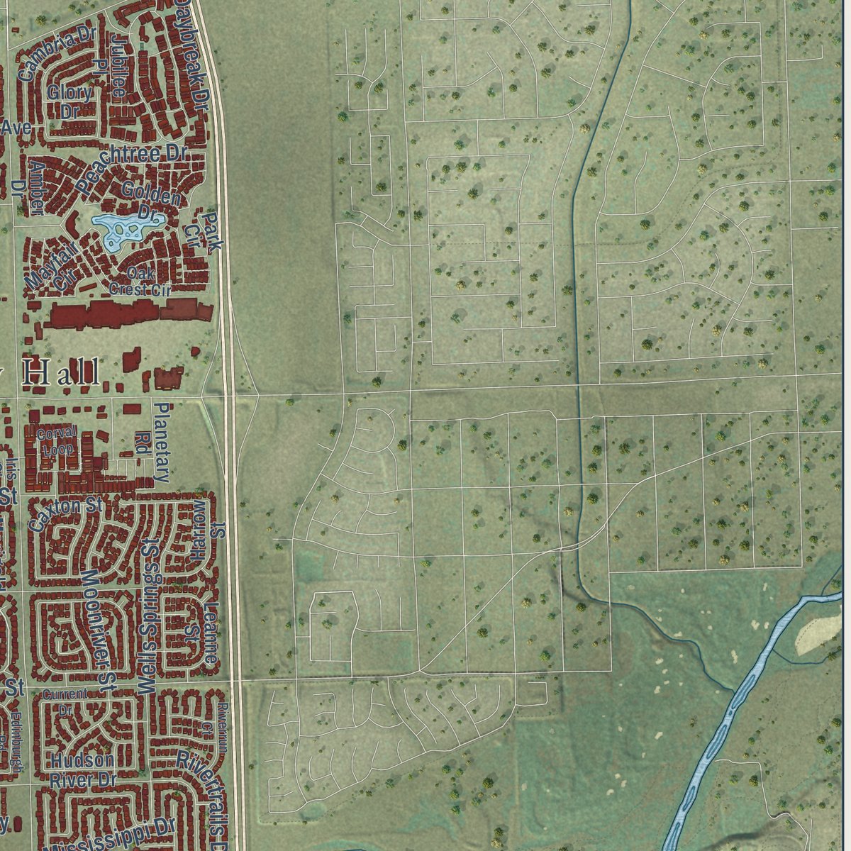
Explore Eastvale, California from a whole new perspective. Created using aerial imagery and detailed geographic data, this map captures Eastvale building by building, with labeled streets, familiar landmarks, and shaded topographical relief that highlights the natural contours of the landscape.
Combining modern data with the timeless character of a vintage atlas, this map is just as interesting up close as it is beautiful on the wall. Whether you grew up in Eastvale, spent memorable years there, or call it home today, this unique map is a great way to celebrate a place that means something to you. Zoom in on the preview to look for your street, and then order a print to put your memories on the wall.
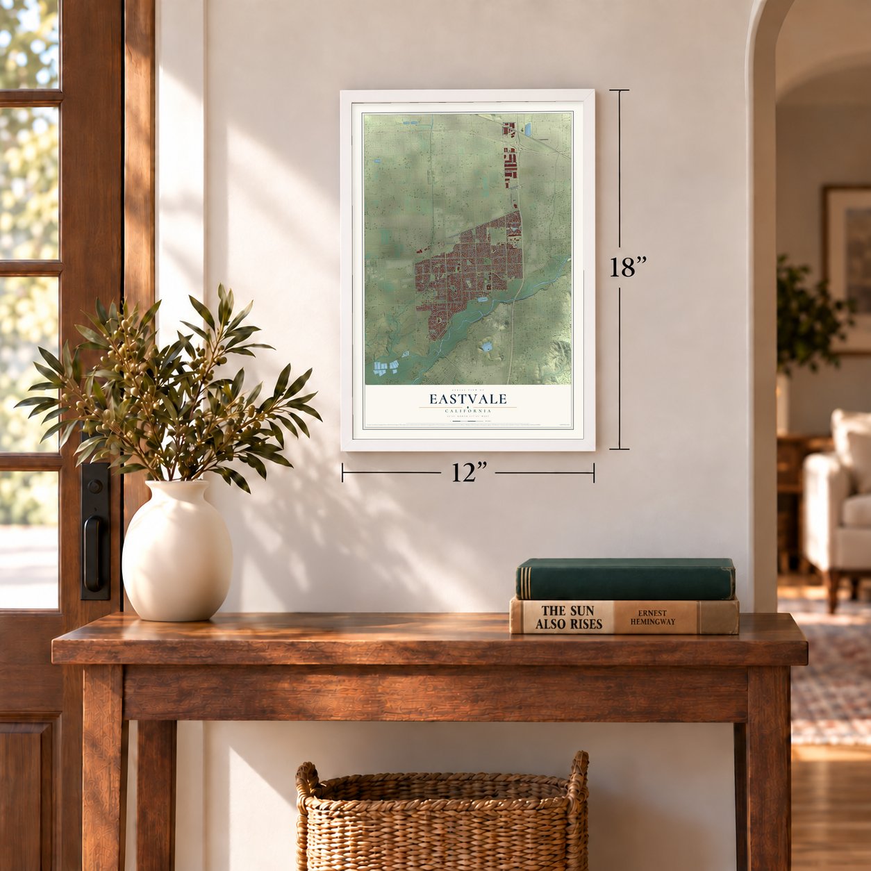
Three ways to hang it
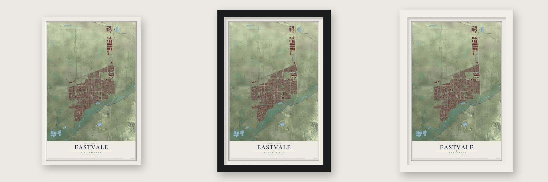
Unframed archival matte, a black wood frame or a white wood frame.
Up close
Geography Worth Displaying
This map was created using accurate cartographic data and authoritative geographic sources, including the U.S. Geological Survey and the Census Bureau. The map brings together terrain, waterways, roads, and building detail. The majority of the streets are labeled, houses are accurately depicted, and the topography is derived from government sources. Combining local data with carefully composed color and shading leads to this beautifully detailed Eastvale artwork for your wall.
Rather than simply showing street outlines, we’ve included as many of the street names as we could reasonably fit on the map while keeping their names legible. Zoom in on the high resolution preview to see exactly what’s on the map. We truly set out to create a statement piece for anyone who loves Eastvale. So whether it’s for you, or a gift for someone you love, we hope this map of Eastvale brings back fond memories.
Read the story behind this map of Eastvale, California from 2026.
Find your street
Names on the Eastvale map
Every name below is printed on this map. Look for your street, your school, the park where you played, or the pond down the road.
Places and landmarks1
- Eastvale City Hall
Streets and roads193
- Cedar Creek Road
- Milliken Avenue
- Tiburon Drive
- Hamner Avenue
- Schleisman Road
- Philadelphia Avenue
- New Road
- Dairy Street
- Archibald Avenue
- Scholar Way
- Limonite Avenue
- Harrison Avenue
- 65th Street
- Hellman Avenue
- Sumner Avenue
- River Road
- 68th Street
- Chandler Street
- Citrus Street
- Bellegrave Avenue
- Mission Boulevard
- Peachtree Drive
- Remington Avenue
- Goodman Way
- Wells Springs Street
- Moonriver Street
- Hall Avenue
- 58th Street
- Oakdale Street
- Walters Street
Show all 193 streets
- Coyote Trail Lane
- Peach Blossom Street
- Dearborn Street
- Orange Street
- Fieldmaster Street
- Daybreak Drive
- Star Ruby Avenue
- Blossom Way
- Whispering Hills Drive
- Fairchild Drive
- Rolling Meadow Street
- Selby Avenue
- Aldergate Drive
- Aspen Leaf Lane
- Riverside Drive
- Prairie Smoke Road
- Mulan Street
- Almond Grove Court
- Narcisse Drive
- Northfork Drive
- Berryhill Drive
- Eastvale Parkway
- Symphony Drive
- Logsdon Drive
- Rivertrails Drive
- Mississippi Drive
- Ithica Drive
- Baron Drive
- Nordland Drive
- Sharp Street
- Old Peak Lane
- Terrapin Way
- Riverglen Drive
- Smith River
- Goose Street
- Milana Drive
- Harvest Drive
- Lotus Street
- Walnut Street
- Viva Drive
- Henry Street
- Rick Lane
- Osprey Street
- Fuji Street
- Jasper Drive
- Berts Way
- Hidden River
- Cobble Creek Drive
- Cantu-Galleano Ranch Road
- Orchid Drive
- Oosten Farms Road
- Whitewell Road
- Kiwi Avenue
- Cambria Drive
- Morning Hills Drive
- Dellbrook Street
- Huntervale Drive
- Larry Dean Street
- Arcadia Street
- Alexandria Avenue
- Grapewin Street
- Leanne Street
- Redwood Valley
- Marigold Street
- Harrow Street
- Amberhill Avenue
- Vienna Drive
- Keton Place
- Caxton Street
- Fairlane Avenue
- Estonian Drive
- San Remo Drive
- Orangevale Avenue
- Canyon Crest Way
- Rimmon Road
- Mayfair Circle
- Samantha Drive
- Lyonnais Street
- Hazelnut Drive
- Golden Drive
- Silverwood Drive
- Woodrush Way
- Campfire Place
- Pattison Street
- Starflower Street
- Planetary Road
- Hudson River Drive
- Cactus Flower Street
- Goldy Street
- Morab Street
- Great Falls Street
- Gannet Street
- Pear Avenue
- Wind River Road
- Quail Run Road
- Ella Drive
- Brass Ring Lane
- Luna Street
- Jubilee Place
- Post Street
- Ginger Drive
- Amber Drive
- Elias Street
- Glory Drive
- Park Circle
- Corona Valley Avenue
- Pointer Loop
- Walnut Grove Avenue
- Shoreham Street
- Fall Creek Drive
- Natoma Street
- Port Arthur Drive
- Dancy Street
- Black Forest Drive
- Gypsum Creek Drive
- Song Sparrow Road
- Excelsior Drive
- Clemson Drive
- Oak Crest Circle
- Valencia Street
- Apple Moss Court
- Soleil Drive
- Country Fair Drive
- Acey Street
- Eaglebluff Lane
- Waterline Road
- Westerly Way
- Amber Sky Way
- Pinenut Path
- Dock Drive
- Kern River Drive
- Iron Horse
- Hawthorn Avenue
- Monet Drive
- Fiske Drive
- Rylee Drive
- Borges Street
- Iris Court
- Corval Loop
- Quarter Horse Drive
- Dove Valley Way
- Gladiola Street
- Edinburgh Road
- Cadenza Drive
- Current Drive
- Highland Drive
- Lancelot Drive
- Meeker Drive
- Ellis Park Trail
- Aster Leaf Lane
- Everglades Street
- Riverrun Court
- Bluff View Lane
- Larsen Bay Street
- Ross Street
- Briar Street
- Cosmos Street
- Copper Sky
- Seaside Street
- Bridal Trail Circle
- Bay Circle
- Xavier Street
- Raft Circle
Names are listed as they appear on the printed map. Zoom into the product photos to find them.
About Eastvale, California
Eastvale is a city of 69,757 people in northwestern Riverside County, north of the Santa Ana River. Its land was once the western quarter of Rancho Jurupa, a grant of some 48 square miles that Mexican Governor Juan Alvarado gave to Juan Bandini in 1838. Long after that, the area stayed rural, and its dairies were run mostly by Dutch and Portuguese families.
In the late 1990s, families from Orange and Los Angeles counties began moving here in search of cheaper homes, and subdivisions replaced the dairy farms. Residents pushed for cityhood from the mid-2000s, led by the Eastvale Incorporation Committee. On June 8, 2010, Measure A passed with 65.8% of the vote, and Eastvale became a city on October 1, 2010.
- Named for a school districtThe name dates to 1893, when the Riverside County Board of Commissioners listed East Vale, then often written as two words, as an elementary school district. The district served the area for more than 50 years, until it was merged with the Corona and Norco schools in 1947.
- The Fuller ranch, 1889 to 1954For 65 years the Fuller family held about 6 square miles of ranch land along the north bank of the Santa Ana River. Almost half of today's Eastvale, the ground from Schleisman Road down to the river, lay inside that ranch.
- A first mayor in 2010In the same election that made Eastvale a city, voters chose a council elected at large. Its first members were Ric Welch, Adam Rush, Ike Bootsma, Kelly Howell and Jeff DeGrandpre, and they picked Adam Rush as the first mayor. A later mayor, Jocelyn Yow, became the youngest woman of color ever to lead a California city.
- Neighbors organized in 2002Years before cityhood, residents formed the Eastvale Community Committee in 2002 so the fast-growing area's problems would get a hearing. It met in public with county officials, utilities, police, schools and business owners, and volunteers still report on its meetings in the quarterly Eastvale Edition, mailed to most homes.
Keep exploring California
Eastvale is one of 1,990 California towns we've mapped. Every dot on the map is a print of its own.
The search covers every state, California first.
Near Eastvale
Order 2 or more town maps and save 10%. Shown in the size and finish you picked above, so they hang as a set.
- Norco 12" x 18" / Archival Matte Print $39.99
- Chino 12" x 18" / Archival Matte Print $39.99
- Ontario 12" x 18" / Archival Matte Print $39.99
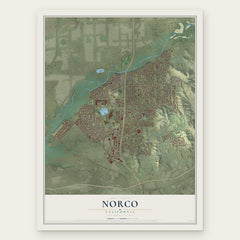
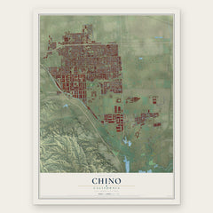
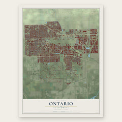
More maps nearby: Coronita, Corona, Jurupa Valley, Home Gardens and Chino Hills.
The art of mapping a place
How This Map Was Made
Real places. Remarkable detail. Discover the layers that turn geographic data into a map of home.

The view from above
Aerial imagery reveals the character of the land: woodland, open fields, and the patterns of a place.

The shape of the land
Elevation data brings hills, valleys, and subtle changes in the landscape into view.

The details of home
Roads, waterways, and building footprints come together to make the map feel unmistakably local.

Geography becomes art
Considered color, shading, and typography bring the layers together in a map made for your wall.


Process illustrated with Mendon, Massachusetts. Aerial imagery: USDA NAIP. Terrain: USGS 3D Elevation Program. Map details and finished artwork: KNOWOL.
The Details
About This Print
Choose an archival matte print, or a black or white Ayous wood frame. The archival matte print is unframed.
Select your size and finish above to see the matching product image and price.
Materials & Craftsmanship
A contemporary map with the character of a classic atlas, printed on archival matte paper. Optional frames are made from Ayous wood.
Your printed map does not include the watermark shown in the full-map preview.
Shipping & Delivery
Free shipping within the United States. Every print is made to order in the USA.
Buying a gift? Add a note in your cart and we'll include it. We never put prices in the package.
Prints ship within 2 to 3 business days. Allow 7 to 10 days total from ordering for delivery. Timing may vary during holidays or periods of high order volume.
Read our shipping policy.
Returns and damaged prints
Each print is made to order. Change-of-mind refunds are not available after production.
If your print arrives damaged, misprinted or incorrect, contact support@knowol.com within 30 days of receiving it. Include your order number, photos and a description of the issue.
Read our full refund and replacement policy. For questions about your order, email support@knowol.com.