
Search for another town
Free U.S. delivery 7 to 10 days after you order
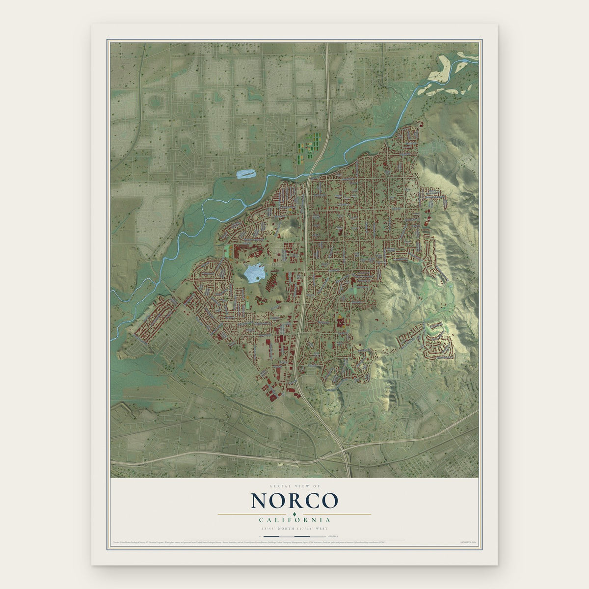
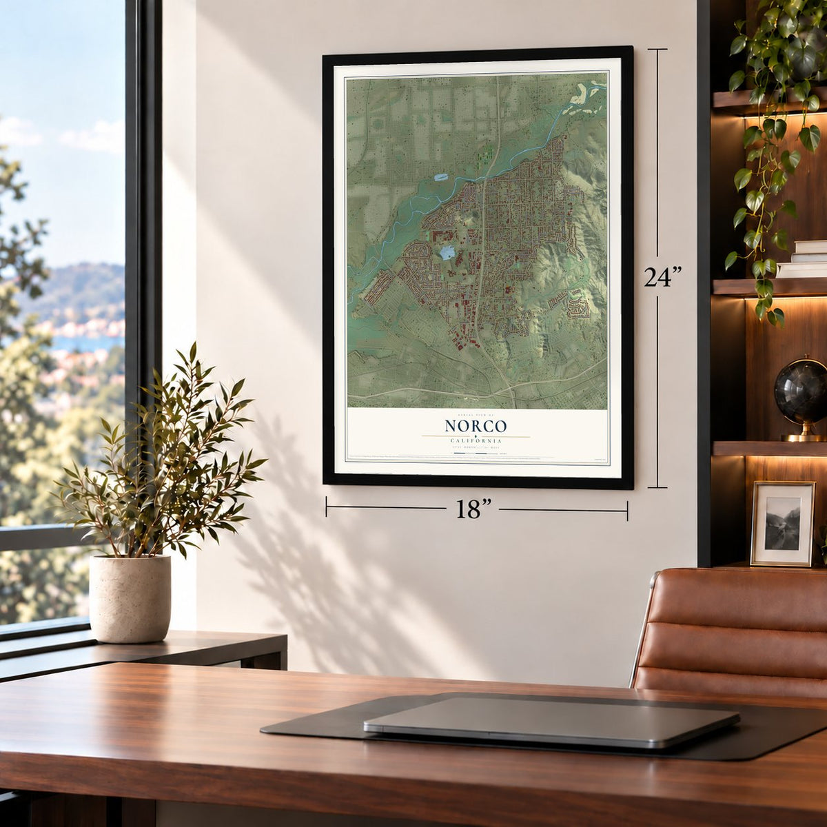
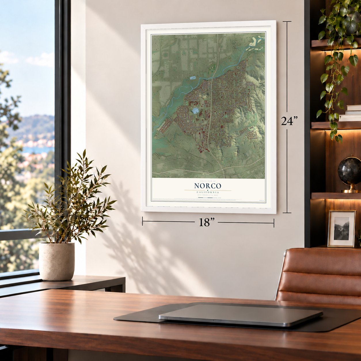
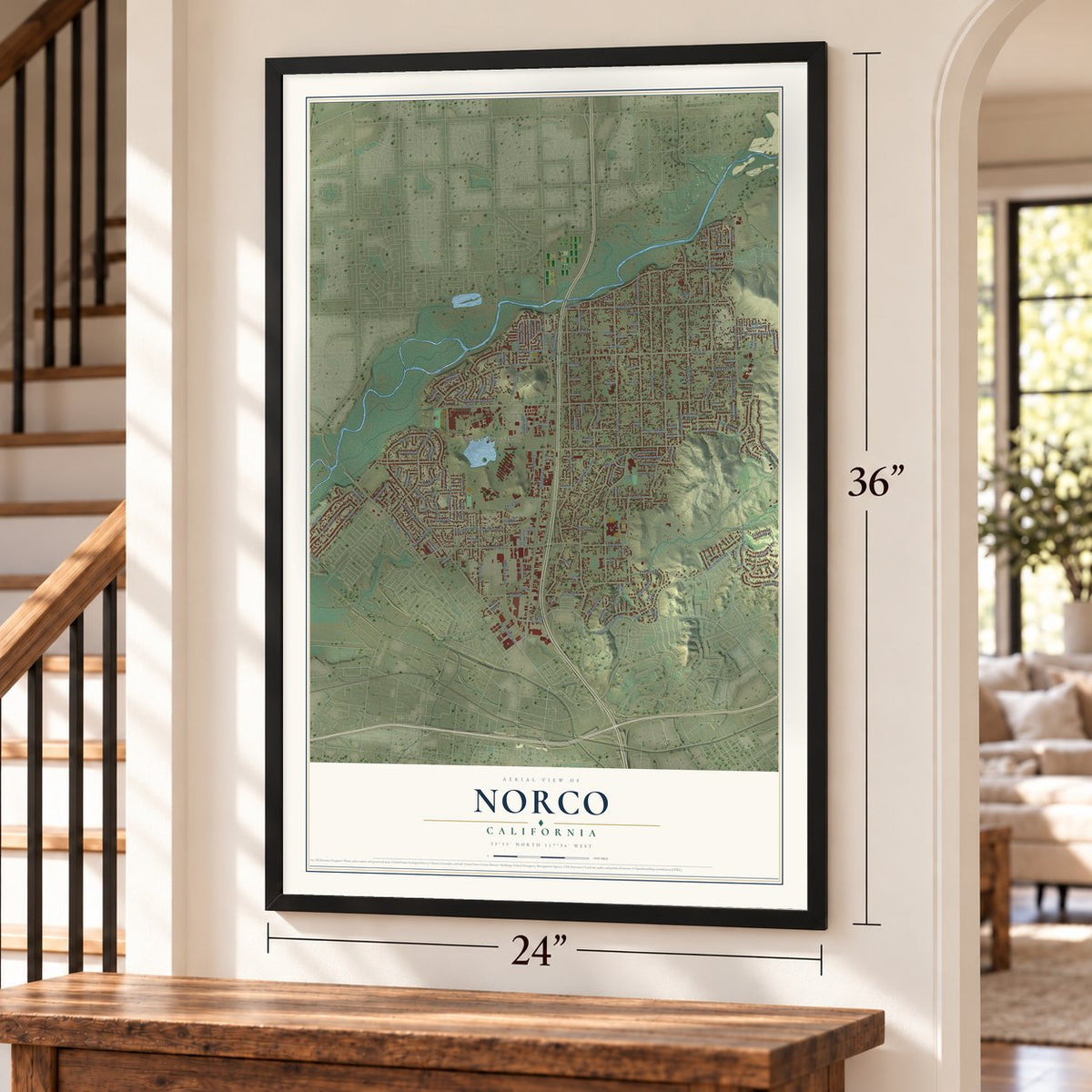
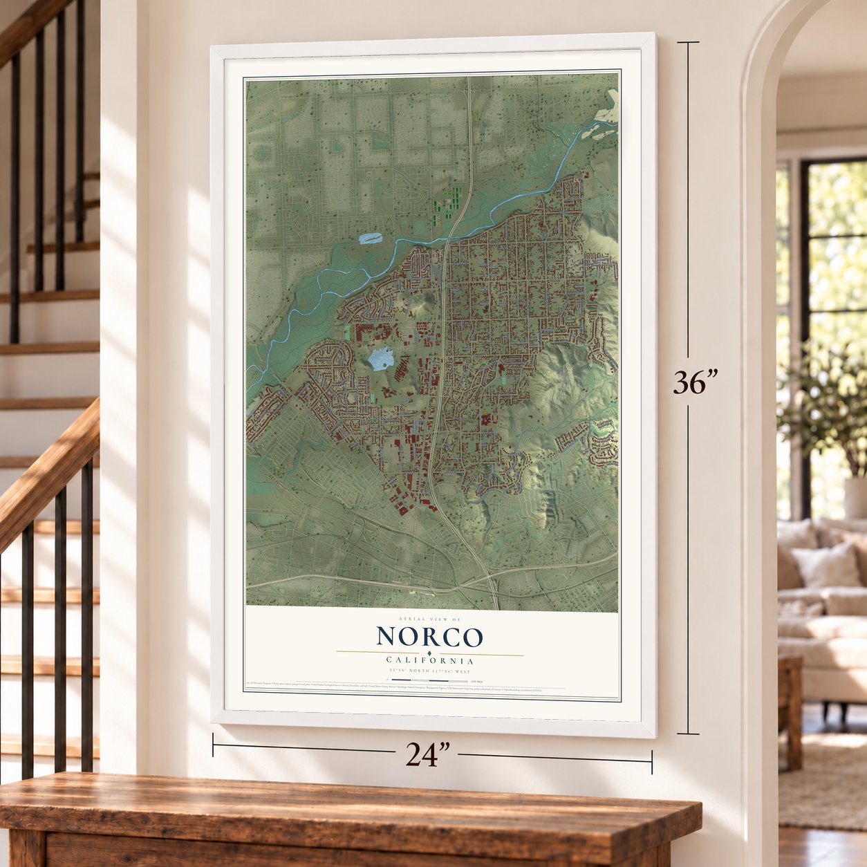
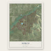
Norco, California Map Art
Building by building, with labeled streets and shaded relief.
12" x 18" Archival Matte Print
A Map of Home. A Work of Art.
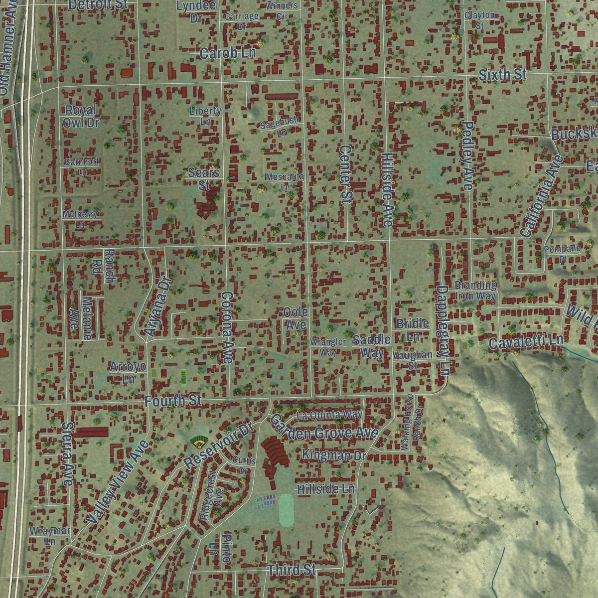
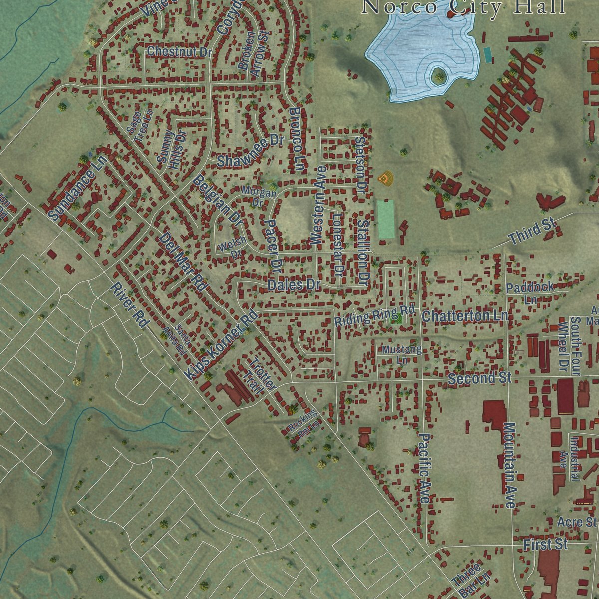
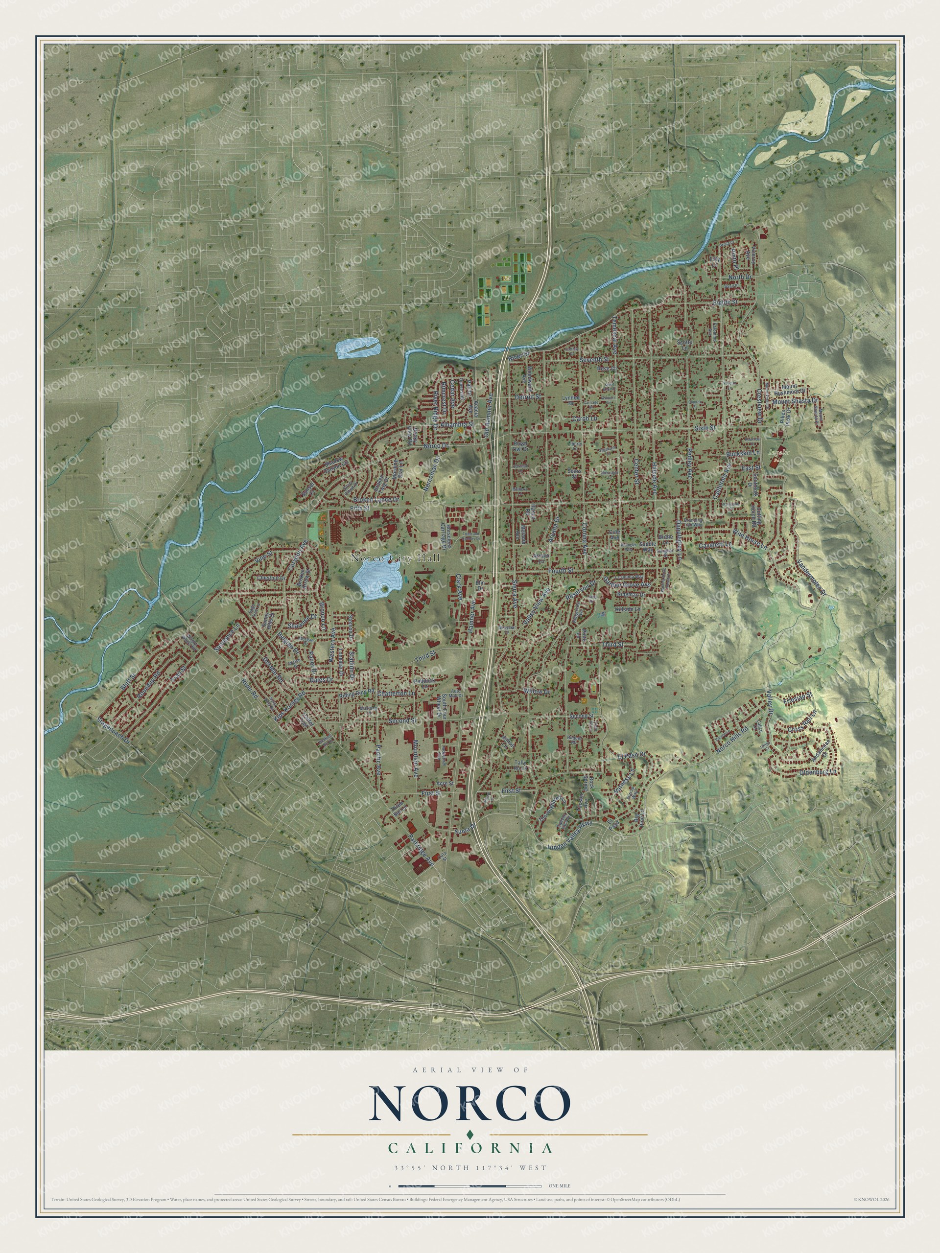
Explore Norco, California from a whole new perspective. Created using aerial imagery and detailed geographic data, this map captures Norco building by building, with labeled streets, familiar landmarks, and shaded topographical relief that highlights the natural contours of the landscape.
Combining modern data with the timeless character of a vintage atlas, this map is just as interesting up close as it is beautiful on the wall. Whether you grew up in Norco, spent memorable years there, or call it home today, this unique map is a great way to celebrate a place that means something to you. Zoom in on the preview to look for your street, and then order a print to put your memories on the wall.
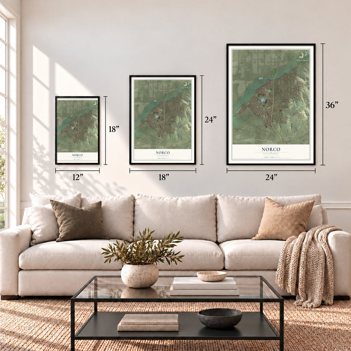
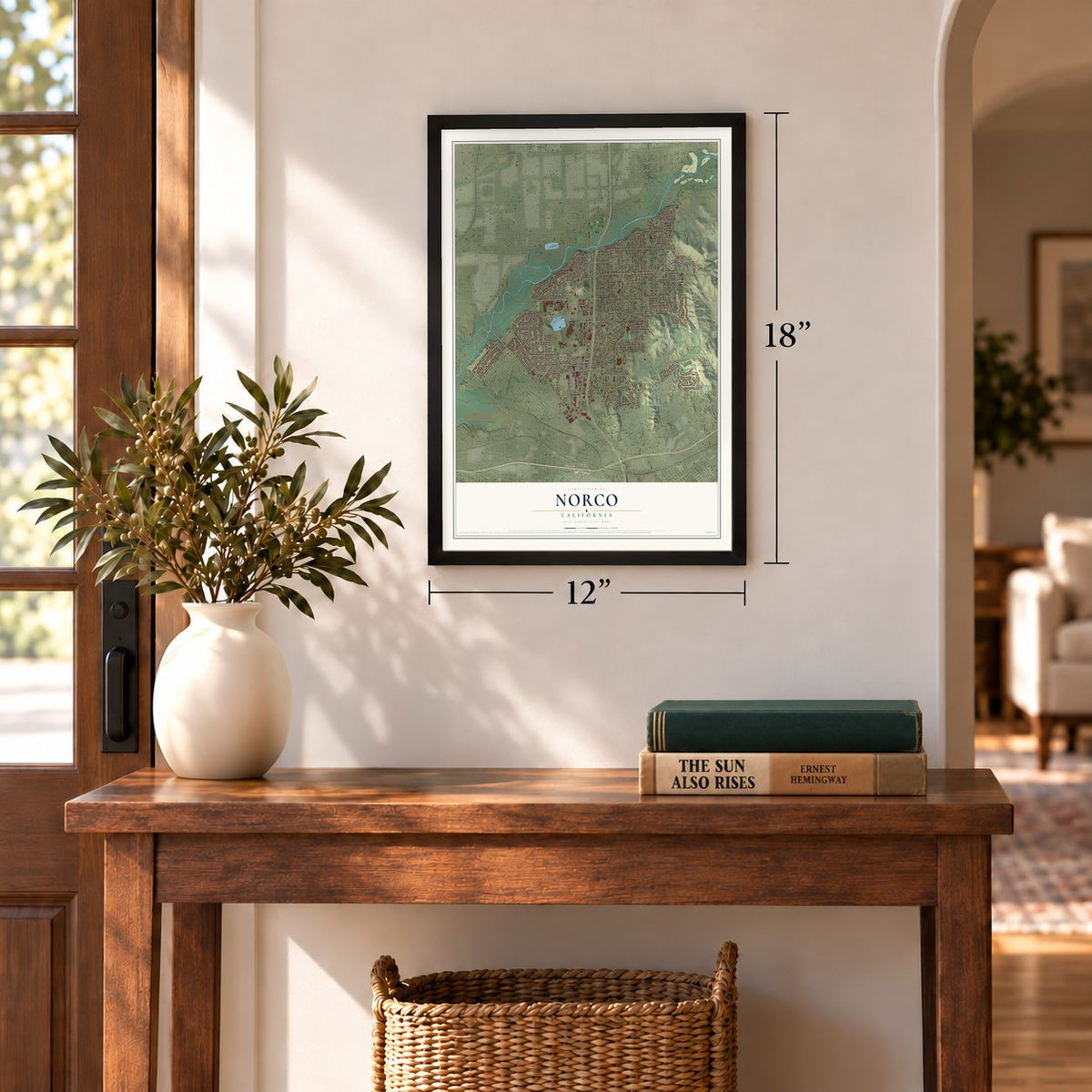
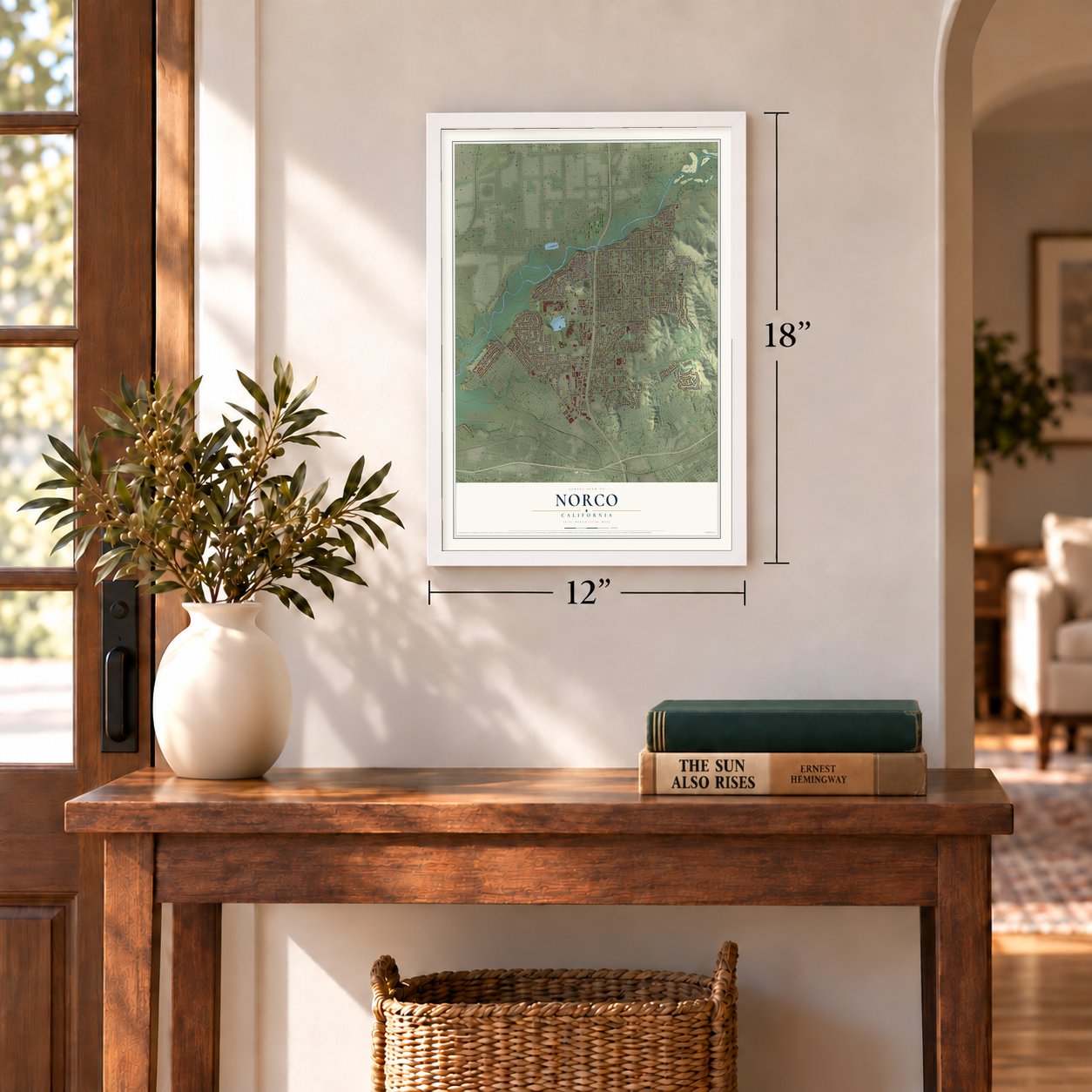
Three ways to hang it
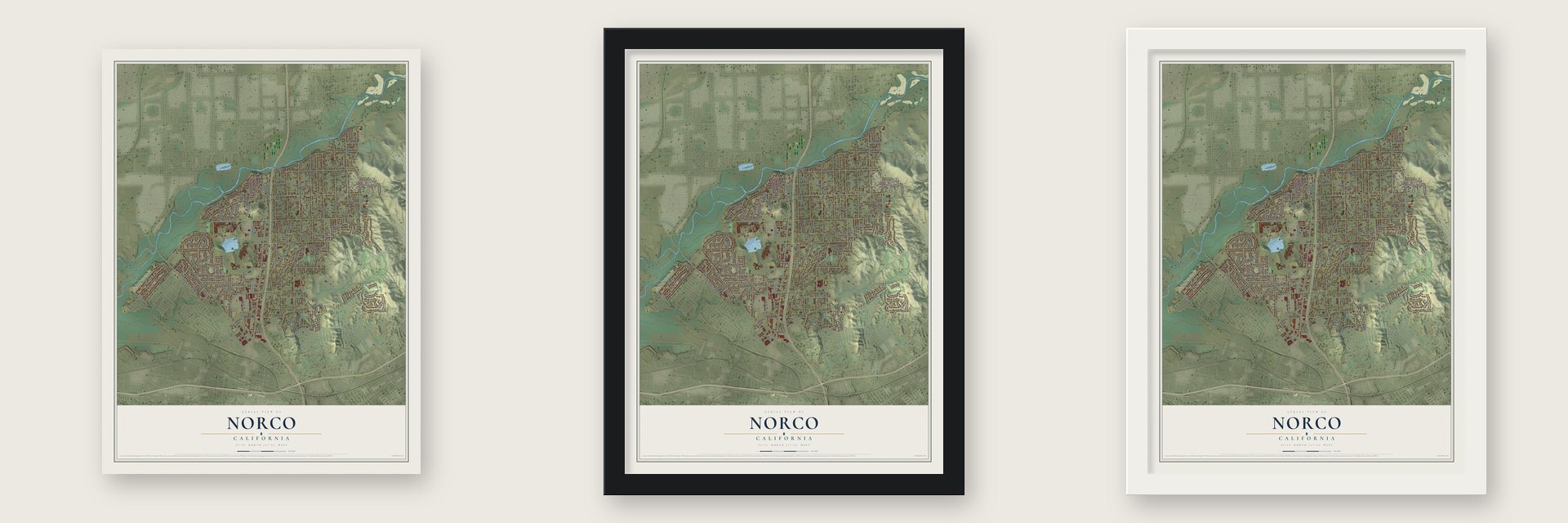
Unframed archival matte, a black wood frame or a white wood frame.
Up close
Geography Worth Displaying
This map was created using accurate cartographic data and authoritative geographic sources, including the U.S. Geological Survey and the Census Bureau. The map brings together terrain, waterways, roads, and building detail. The majority of the streets are labeled, houses are accurately depicted, and the topography is derived from government sources. Combining local data with carefully composed color and shading leads to this beautifully detailed Norco artwork for your wall.
Rather than simply showing street outlines, we’ve included as many of the street names as we could reasonably fit on the map while keeping their names legible. Zoom in on the high resolution preview to see exactly what’s on the map. We truly set out to create a statement piece for anyone who loves Norco. So whether it’s for you, or a gift for someone you love, we hope this map of Norco brings back fond memories.
Read the story behind this map of Norco, California from 2026.
Find your street
Names on the Norco map
Every name below is printed on this map. Look for your street, your school, the park where you played, or the pond down the road.
Places and landmarks2
- Norco City Hall
- Ingalls Park
Streets and roads169
- Corona Avenue
- Hidden Valley Parkway
- Second Street
- Yuma Drive
- Hamner Avenue
- Valley View Avenue
- Hillside Avenue
- Temescal Avenue
- Fifth Street
- Crestview Drive
- Sixth Street
- Bluff Street
- Sierra Avenue
- Valley Drive
- Third Street
- California Avenue
- Pedley Avenue
- River Road
- Parkridge Avenue
- Fourth Street
- Seventh Street
- River Drive
- Norco Drive
- First Street
- Mountain Avenue
- Center Street
- Corydon Avenue
- Norco Hills Road
- Western Avenue
- Vine Street
Show all 169 streets
- Reservoir Drive
- El Paso Drive
- Alhambra Street
- Pacific Avenue
- Vandermolen Drive
- Trail Street
- Roundup Road
- Belgian Drive
- Bronco Lane
- Wild Horse Lane
- Eighth Street
- Cross Rail Lane
- Norconian Drive
- Pacer Drive
- Cavaletti Lane
- Kips Korner Road
- Del Mar Road
- Old Hamner Avenue
- River Ridge Drive
- Detroit Street
- Dapplegray Lane
- Broken Lance Drive
- Oldenburg Lane
- Cedar Avenue
- North Drive
- Mount Shasta Drive
- Dales Drive
- Harness Lane
- Garden Grove Avenue
- Buckskin Lane
- Willow Drive
- Rimcrest Drive
- Clark Avenue
- Friesian Street
- Aryana Drive
- Shawnee Drive
- Pinto Place
- Chatterton Lane
- Stagecoach Drive
- Sundance Lane
- East Street
- Carob Lane
- Stallion Drive
- El Paso
- Thoroughbred Lane
- Shadow Canyon Circle
- Andalusian Drive
- Acacia Avenue
- Mount Rushmore Drive
- Chestnut Drive
- Horseless Carriage Drive
- Woodward Avenue
- Pali Drive
- Broken Twig Drive
- Sunny Hills Drive
- Broken Arrow Street
- Riding Ring Road
- Morning Star Lane
- Lonestar Drive
- Big Pine Lane
- Tucson Avenue
- Viceroy Avenue
- Southfork Drive
- Pikes Peak Drive
- Trotter Trail
- Kingman Drive
- Hillside Lane
- Paddock Lane
- Hilltop Lane
- Three Bar Lane
- South Four Wheel Drive
- Stetson Drive
- Elm Drive
- Tally Ho Lane
- Cutting Horse Road
- Melanie Avenue
- Rocky View Road
- Sunset Court
- Scotts Lane
- Rose Court
- Lyndee Drive
- Rock Spring
- Acre Street
- Saddle Way
- Royal Owl Drive
- Pinto Lane
- Bridle Lane
- Sears Street
- Arroyo Lane
- Ranch Road
- Filly Lane
- Cole Avenue
- Morgan Drive
- La Quinta Way
- Cota Street
- Ridgecrest Avenue
- Branding Iron Way
- Silver Cloud Drive
- Mount Shasta Place
- Vaughan Street
- Queens Road
- Palomino Avenue
- Auto Mall Drive
- Wagon Wheel Road
- Raquel Road
- Industrial Avenue
- Mustang Lane
- Wraymar Lane
- Stirrup Way
- Canyon View Place
- Sage Tree Lane
- Welsh Drive
- Liberty Lane
- Calico Court
- Santa Anita Road
- Walking Horse Ranch Drive
- Town and Country Drive
- Carson Lane
- Mount Verde Drive
- Wyatt Place
- Sagebush Lane
- Curtis Drive
- Mescalita Lane
- Mulberry Lane
- Grulla Court
- Barnhart Lane
- Carriage Drive
- Pompano Place
- Tonto Bar Lane
- Wrangler Way
- Rawhide Court
- Clayton Street
- Rocking Rm Lane
- Winners Circle
- Carthay Drive
- Hillkirk Lane
- Spirit Knoll Court
- Proctor Lane
- Latigo Court
Names are listed as they appear on the printed map. Zoom into the product photos to find them.
About Norco, California
Norco is a city of 26,316 people in northwestern Riverside County, about 40 miles inland from the Pacific Ocean. The Luiseño people were the first to live here. The town's name blends the words North Corona and comes from the North Corona Land Company.
On May 13, 1923, which was Mother's Day, the new town held its grand opening. It became a city on December 28, 1964, and the goal behind incorporation was "City living in a rural atmosphere." Horses still shape daily life here. The city has few sidewalks, so riders follow horse trails into town and tie up at hitching rails and corrals near the shops.
“Norco was developer Rex Clark’s vision of a utopian settlement of independent farmers reaping the rewards of their hard work on small farms and ranches.”
- A charter to protect horsesIn 2003 Norco became a charter city so it could guard the right to keep animals. The charter follows state law in almost everything and departs from it only on lot size, horse trails and the keeping of animals. Any change to the rules on those three needs a four-fifths vote of the City Council.
- Horsetown U.S.A. since 2006Norco began calling itself Horsetown U.S.A. in 2006 and won a federal trademark for the name. City rules also ask builders to give new buildings a Western look that is rural, rustic, low-profile and suited to life with horses.
- The Norco Fair on Labor DayVolunteers run the Norco Fair every Labor Day Weekend. The Miss Norco, Horsetown USA Contest starts it off on Thursday evening, and the days that follow bring a rodeo, wild cow milking, cowboy poker, snail races and a pet parade. It closes on Monday with a Labor Day Parade down 6th Street.
- Disneyland's horses since 2017Since 2017 Disneyland has kept and trained its horses at Circle D Ranch in Norco. Many of those horses pull the streetcars on the park's Main Street, and the ranch employs 60 people.
Keep exploring California
Norco is one of 1,990 California towns we've mapped. Every dot on the map is a print of its own.
The search covers every state, California first.
Near Norco
Order 2 or more town maps and save 10%. Shown in the size and finish you picked above, so they hang as a set.
- Eastvale 12" x 18" / Archival Matte Print $39.99
- Home Gardens 12" x 18" / Archival Matte Print $39.99
- Corona 12" x 18" / Archival Matte Print $39.99
More maps nearby: Coronita, Arlington, El Sobrante, Jurupa Valley and Chino.
The art of mapping a place
How This Map Was Made
Real places. Remarkable detail. Discover the layers that turn geographic data into a map of home.

The view from above
Aerial imagery reveals the character of the land: woodland, open fields, and the patterns of a place.

The shape of the land
Elevation data brings hills, valleys, and subtle changes in the landscape into view.

The details of home
Roads, waterways, and building footprints come together to make the map feel unmistakably local.

Geography becomes art
Considered color, shading, and typography bring the layers together in a map made for your wall.


Process illustrated with Mendon, Massachusetts. Aerial imagery: USDA NAIP. Terrain: USGS 3D Elevation Program. Map details and finished artwork: KNOWOL.
The Details
About This Print
Choose an archival matte print, or a black or white Ayous wood frame. The archival matte print is unframed.
Select your size and finish above to see the matching product image and price.
Materials & Craftsmanship
A contemporary map with the character of a classic atlas, printed on archival matte paper. Optional frames are made from Ayous wood.
Your printed map does not include the watermark shown in the full-map preview.
Shipping & Delivery
Free shipping within the United States. Every print is made to order in the USA.
Buying a gift? Add a note in your cart and we'll include it. We never put prices in the package.
Prints ship within 2 to 3 business days. Allow 7 to 10 days total from ordering for delivery. Timing may vary during holidays or periods of high order volume.
Read our shipping policy.
Returns and damaged prints
Each print is made to order. Change-of-mind refunds are not available after production.
If your print arrives damaged, misprinted or incorrect, contact support@knowol.com within 30 days of receiving it. Include your order number, photos and a description of the issue.
Read our full refund and replacement policy. For questions about your order, email support@knowol.com.