
Search for another town

Free U.S. delivery 7 to 10 days after you order
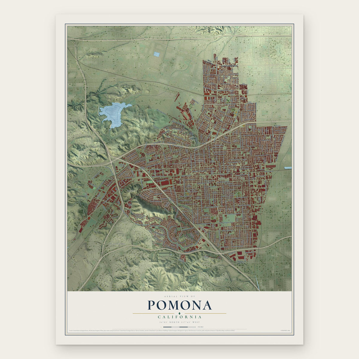
Pomona, California Map Art
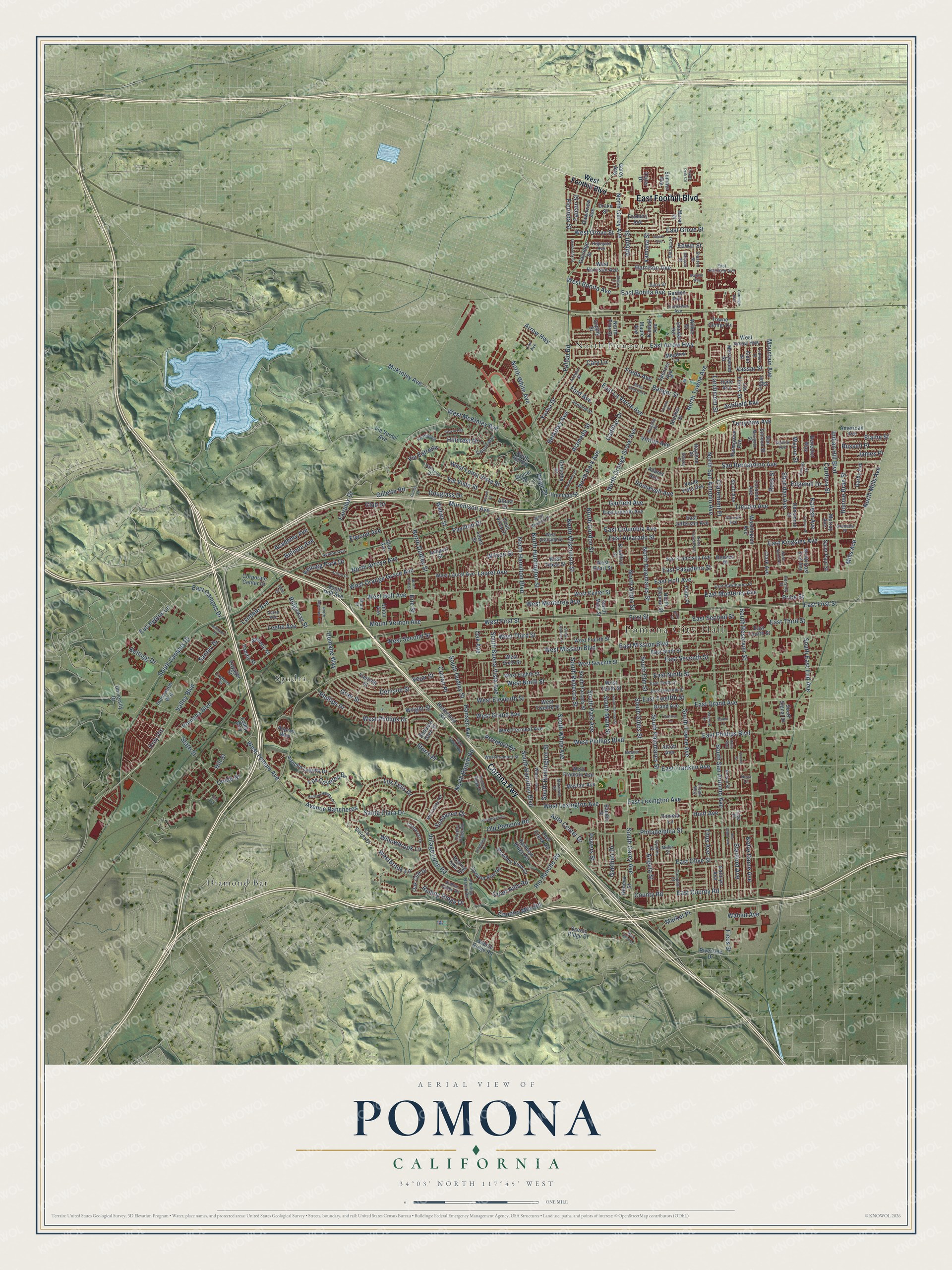
Building by building, with labeled streets and shaded relief.
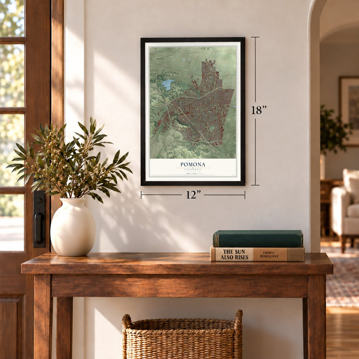
12" x 18" Archival Matte Print
A Map of Home. A Work of Art.
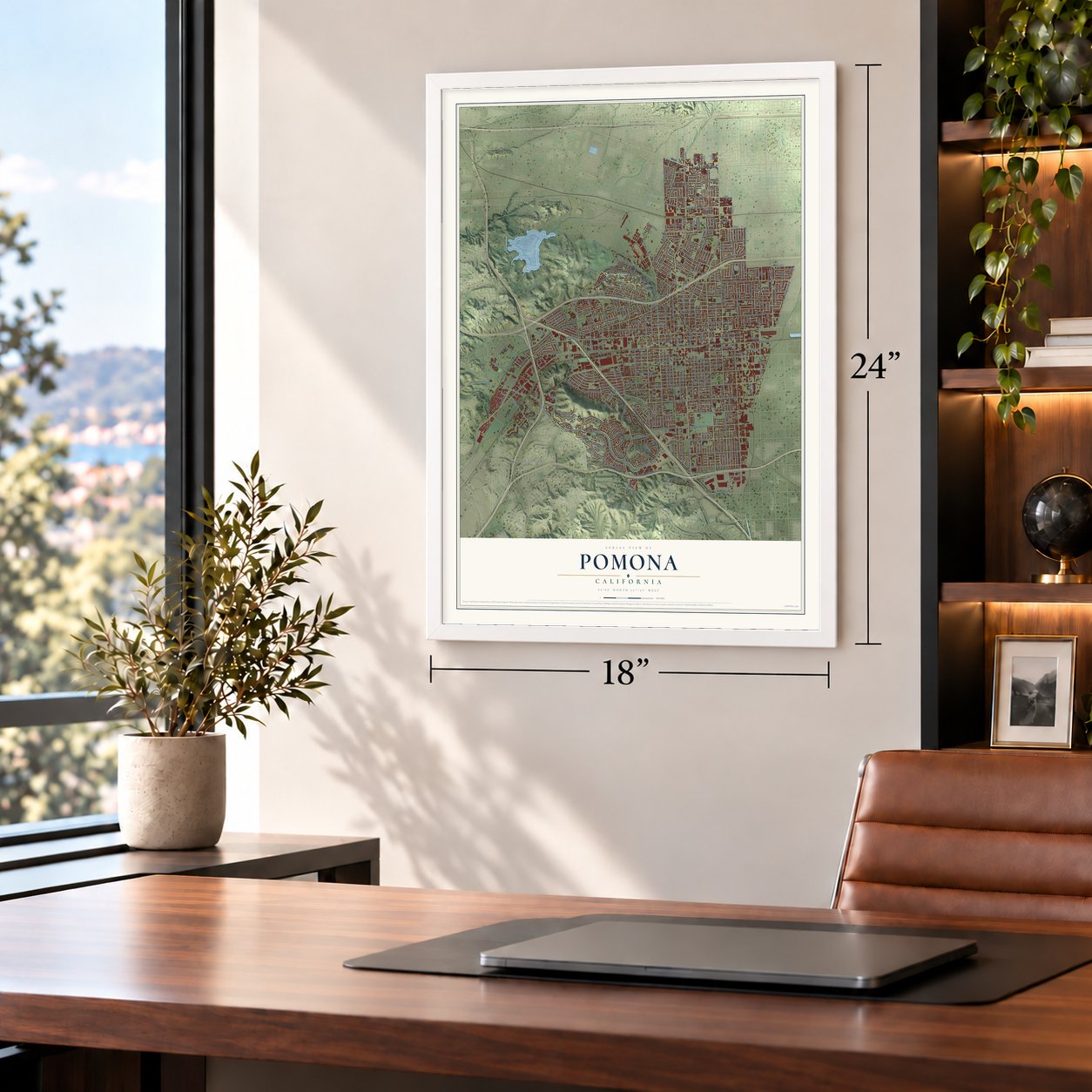
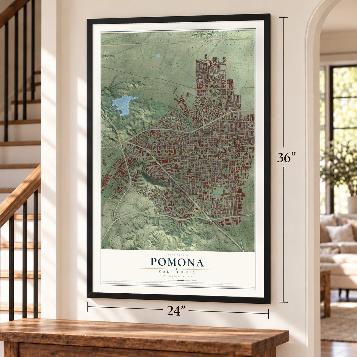
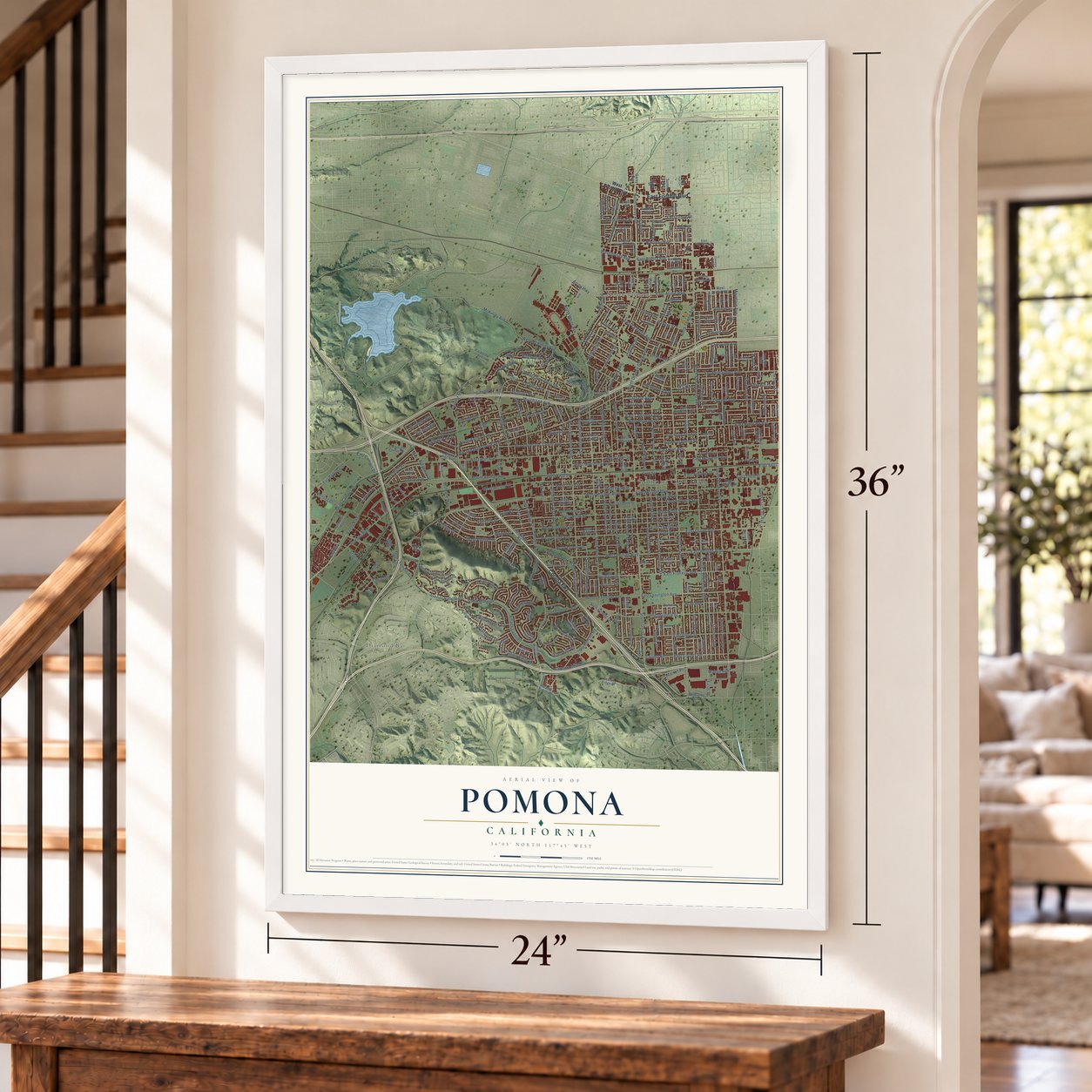
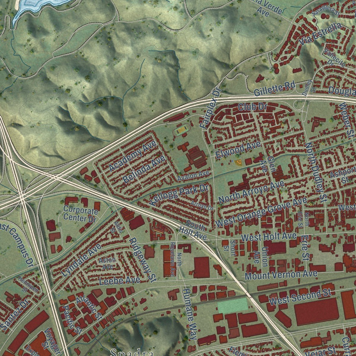
Explore Pomona, California from a whole new perspective. Created using aerial imagery and detailed geographic data, this map captures Pomona building by building, with labeled streets, familiar landmarks, and shaded topographical relief that highlights the natural contours of the landscape.
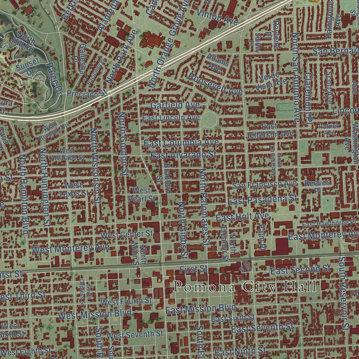
Combining modern data with the timeless character of a vintage atlas, this map is just as interesting up close as it is beautiful on the wall. Whether you grew up in Pomona, spent memorable years there, or call it home today, this unique map is a great way to celebrate a place that means something to you. Zoom in on the preview to look for your street, and then order a print to put your memories on the wall.
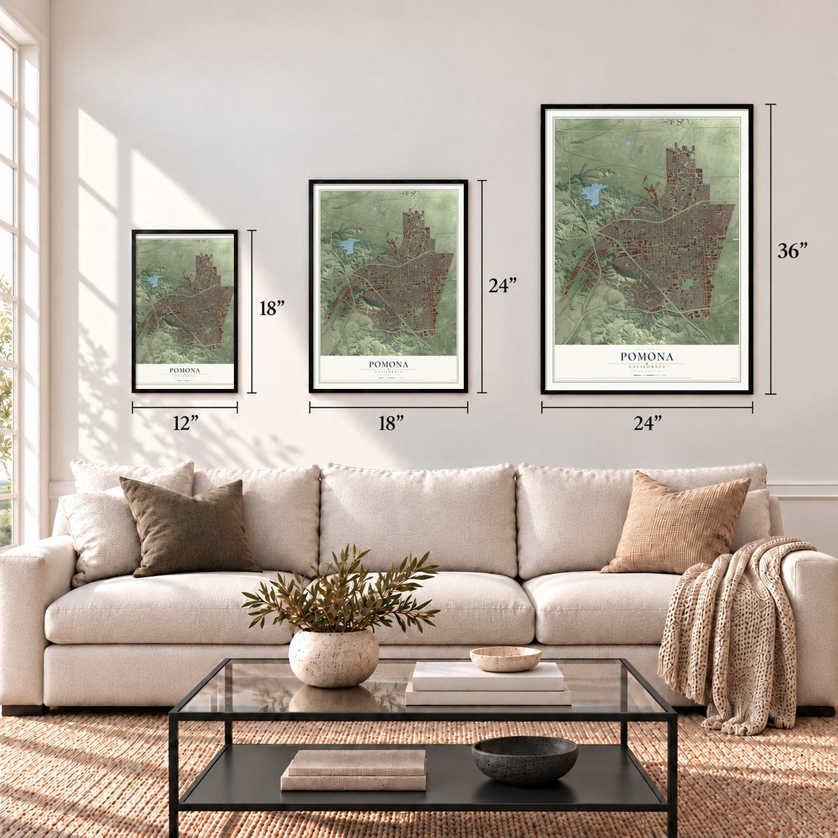
Three ways to hang it
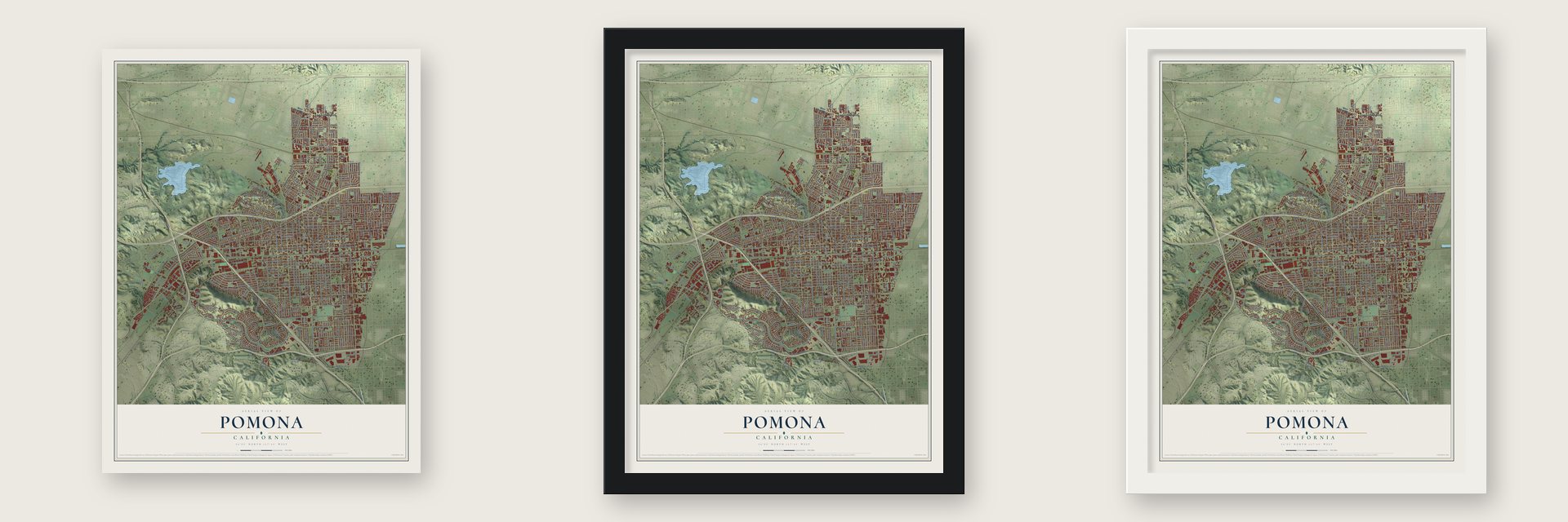
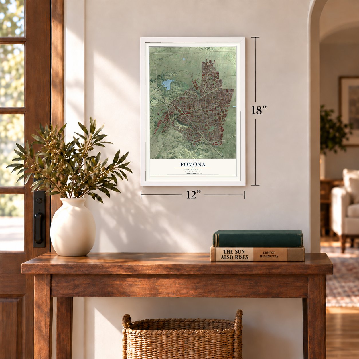
Unframed archival matte, a black wood frame or a white wood frame.
Up close
Geography Worth Displaying
This map was created using accurate cartographic data and authoritative geographic sources, including the U.S. Geological Survey and the Census Bureau. The map brings together terrain, waterways, roads, and building detail. The majority of the streets are labeled, houses are accurately depicted, and the topography is derived from government sources. Combining local data with carefully composed color and shading leads to this beautifully detailed Pomona artwork for your wall.
Rather than simply showing street outlines, we’ve included as many of the street names as we could reasonably fit on the map while keeping their names legible. Zoom in on the high resolution preview to see exactly what’s on the map. We truly set out to create a statement piece for anyone who loves Pomona. So whether it’s for you, or a gift for someone you love, we hope this map of Pomona brings back fond memories.
Read the story behind this map of Pomona, California from 2026.
Find your street
Names on the Pomona map
Every name below is printed on this map. Look for your street, your school, the park where you played, or the pond down the road.
Places and landmarks4
- Pomona City Hall
- Spadra
- Diamond Bar
- North Pomona
Streets and roads378
- East Foothill Boulevard
- Corona Fwy
- North Garey Avenue
- South Garey Avenue
- North White Avenue
- Val Vista Street
- West First Street
- East First Street
- South Park Avenue
- West Phillips Drive
- Lyndale Avenue
- East Grand Avenue
- Phillips Drive
- Quiet Hills Road
- Valley Boulevard
- West Mission Boulevard
- North Towne Avenue
- Fairplex Drive
- South Towne Avenue
- South Reservoir Street
- West Orange Grove Avenue
- West Ninth Street
- South San Antonio Avenue
- West Holt Avenue
- Village Loop Road
- Pomona Boulevard
- East Kingsley Avenue
- North San Antonio Avenue
- San Bernardino Avenue
- West Second Street
Show all 378 streets
- East Holt Avenue
- East Columbia Avenue
- East Mission Boulevard
- South White Avenue
- Mills Avenue
- Rio Rancho Road
- East Ninth Street
- South Palomares Street
- Murchison Avenue
- West Temple Avenue
- Hillcrest Drive
- South Hamilton Boulevard
- East La Verne Avenue
- East Phillips Boulevard
- East Third Street
- West Grand Avenue
- North Park Avenue
- West Phillips Boulevard
- East Alvarado Street
- South Campus Drive
- East Franklin Avenue
- West McKinley Avenue
- North Orange Grove Avenue
- Poly Vis
- East Lexington Avenue
- West Eleventh Street
- East Pasadena Street
- Lincoln Avenue
- North Palomares Street
- Philadelphia Street
- East Olive Street
- North Gibbs Street
- Fulton Road
- Indian Hill Boulevard
- West Third Street
- North Mills Avenue
- East Monterey Avenue
- Mountain Avenue
- East Second Street
- East Seventh Street
- South Gibbs Street
- Mount Vernon Avenue
- South Rebecca Street
- South East End Avenue
- South Huntington Street
- Kellogg Park Drive
- East Bonita Avenue
- North Gordon Street
- South Buena Vista Avenue
- West Monterey Avenue
- Wright Street
- East County Road
- East Arrow Highway
- Laurel Avenue
- North Hamilton Boulevard
- South Main Street
- North Huntington Street
- South Dudley Street
- Elwood Avenue
- West Loma Vista Street
- James Place
- West Lexington Avenue
- North Dudley Street
- State Street
- Kellogg Drive
- Russell Place
- Ridgeway Street
- Storrs Place
- Bonnie Brae Street
- Avenue Rancheros
- Alameda Street
- Titus Avenue
- East Grove Street
- Harrison Avenue
- Club Drive
- Westbrook Lane
- Eucalyptus Lane
- Hansen Avenue
- Claremont Place
- Berkeley Avenue
- Elaine Street
- Humane Way
- Karesh Avenue
- Sheridan Avenue
- Weber Street
- Grier Street
- North Arroyo Avenue
- Los Felis Drive
- Via Estrella
- North Wisconsin Street
- Denison Street
- Los Coyotes Drive
- South Elm Street
- Stanford Avenue
- Paige Drive
- Country Mile Road
- Bangor Street
- Prospect Drive
- Vassar Street
- Pavilion Drive
- Douglass Drive
- Gillette Road
- East Twelfth Street
- Price Street
- Arrow Highway
- Yorba Drive
- Notre Dame Avenue
- Ashfield Avenue
- McKinley Avenue
- East Campus Drive
- Circle Drive
- Garfield Avenue
- West Bonita Avenue
- Auto Center Drive
- Old Pomona Road
- Cordova Street
- Willowbrook Lane
- West Grove Street
- Wilson Street
- Angela Street
- Rolling Ridge Drive
- Vinton Avenue
- Santa Clara Drive
- Market Place
- Gambier Drive
- Oak Avenue
- Abbott Street
- Roosevelt Avenue
- Falcon Street
- Hunt Avenue
- Academy Avenue
- North Ranch Road
- Walnut Avenue
- Cadillac Drive
- Curran Place
- Vejar Street
- First Street
- Larchmont Street
- Freda Avenue
- Terryview Avenue
- Edgehill Drive
- Sundance Drive
- Belinda Avenue
- Vamana Street
- Ficus Street
- Leebe Avenue
- Florinda Street
- Ross Street
- Hill Street
- County Road
- Ford Avenue
- Powers Street
- Cary Lane
- Santez Drive
- Wayne Street
- Edwin Street
- Erie Street
- West Foothill Boulevard
- Riverside Drive
- Scenic Ridge Road
- Scenic Ridge Drive
- Murray Avenue
- Geneva Street
- West Arrow Highway
- East Jefferson Avenue
- West Fourth Street
- East Fourth Street
- Washington Avenue
- Butterfield Road
- West Eighth Street
- East Lincoln Avenue
- West Laurel Avenue
- San Francisco Avenue
- West Twelfth Street
- East Sixth Street
- West Seventh Street
- West Center Street
- South Parcels Street
- West Tenth Street
- North Eleanor Street
- Kathryn Avenue
- Bradford Street
- West Sixth Street
- Meadow View Drive
- Sumner Avenue
- Glen Avenue
- West Fernleaf Avenue
- Union Avenue
- Clark Avenue
- Logan Street
- West Franklin Avenue
- Outer Drive
- Spencer Avenue
- Corporate Center Drive
- North East End Avenue
- Densmore Street
- Loranne Avenue
- Fleming Street
- La Sierra Drive
- Rancho Laguna Drive
- Raylene Place
- Kimball Avenue
- Rainbow Ridge Road
- North Main Street
- North Hill Road
- Lewis Street
- Deer Creek Road
- Verde Vista Avenue
- Casa Vista Drive
- Towne Center Drive
- University Drive
- Oak Cliff Drive
- Palmgrove Avenue
- Dawnview Avenue
- Rolling Hills Drive
- Canyon Rim Road
- Wilkie Drive
- West Harrison Avenue
- Appian Way
- San Simeon Street
- Ashport Street
- Innovation Way
- West Texas Street
- Los Flores Street
- Via Verde Avenue
- Grand Avenue
- Saint Paul Street
- Maple Avenue
- Mayfair Avenue
- South Signal Drive
- American Avenue
- West Pearl Street
- Benedict Way
- Alcott Avenue
- Merrywood Street
- Drake Street
- Preciado Street
- North Pine Street
- Stocker Street
- Reeves Place
- Foxbury Avenue
- Baudin Street
- Scott Avenue
- Darby Avenue
- Meadow Lane
- Atlantic Street
- Supply Street
- Hyde Avenue
- South Holt Avenue
- Alder Street
- Gayridge Street
- Palm Place
- Ganesha Place
- Pacific Street
- Garey Avenue
- Sunset Drive
- Deodar Road
- Garden Avenue
- Sequoia Glen Street
- Voyager Street
- Pamela Lane
- Mural Drive
- Altura Court
- Foley Way
- Adams Avenue
- Lee Place
- West Fremont Street
- West Alvarado Street
- Waters Avenue
- East Eleventh Street
- East Tenth Street
- Canyon Way
- Phillips Ranch Road
- Mill Valley Road
- Hidden Valley Road
- East Hawthorne Place
- West Burdick Drive
- Norval Street
- Camphor Place
- Royalty Drive
- Chaparral Drive
- Vallecito Drive
- East Harrison Avenue
- Cynthia Street
- Shirley Place
- Marigold Street
- Avalon Avenue
- Lennox Street
- Sunset Ridge Drive
- Penfield Street
- Selkirk Avenue
- Battram Street
- Sunflower Avenue
- Highgate Avenue
- Hershey Street
- Stanton Street
- Armour Street
- Morrison Street
- Country Ridge Road
- Explorer Street
- Barry Drive
- Chelsa Drive
- Fair Avenue
- Aston Avenue
- Granada Place
- Beaver Court
- Huston Street
- Patrick Avenue
- Trojan Way
- Short Street
- Miller Street
- Neva Lane
- Dudley Street
- North Caswell Avenue
- South Thomas Street
- Ann Arbor Avenue
- Pso la Paz
- Towne Park Circle
- Rancho Navato Drive
- South Cypress Street
- Packard Drive
- Saragossa Street
- Hacienda Place
- Sage Canyon Road
- Valera Avenue
- Viewpoint Circle
- Arroyo Drive
- North Signal Drive
- North Roselawn Avenue
- Knollview Drive
- Deerbrook Street
- North Erie Street
- Sonora Street
- Colmar Street
- Royal Coach Avenue
- Hennipen Street
- Cherry Lane
- Carnegie Avenue
- Rock Crest Lane
- Holly Way
- Penmar Lane
- Banyan Way
- Aldis Street
- Novell Street
- Salem Lane
- Burma Court
- Allen Lane
- Elm Avenue
Names are listed as they appear on the printed map. Zoom into the product photos to find them.
About Pomona, California
Pomona is a city of 151,713 people in Los Angeles County, and no other city in the San Gabriel Valley has more residents. The Tongva people lived on this land when Spanish conquistadors reached California. The land later became part of Mexico, and in the 1830s Ricardo Véjar and Ygnacio Palomares claimed it. The 1848 Treaty of Guadalupe Hidalgo then made California American territory.
In 1875 developers known as the Los Angeles Immigration and Land Cooperative Association ran a contest to name the growing town. Solomon Gates, a citrus worker, won by suggesting Pomona, after the Roman goddess of fruit. By the 1880s new water and railroad access had made the town the western anchor of the citrus region, and Pomona was incorporated on January 6, 1888. It adopted a charter in 1911.
“Pomona College, incorporated October 14, 1887, held its first class in this small frame cottage on September 12, 1888.”
- Spadra, the town that fadedIn 1866 William "Uncle Billy" Rubottom bought land from a landowner named Phillips and started a town, naming it Spadra for his Arkansas hometown. His Spadra Hotel and Tavern served stagecoach riders, and by 1870 400 to 500 people lived there. Phillips brought the Southern Pacific to Spadra in 1873 and built his mansion in 1875, but the line pushed east to Colton and the town faded. Pomona annexed it in 1964; the Phillips Mansion and Spadra Cemetery survive.
- Queen of the Citrus BeltIn the 1920s Pomona was called the "Queen of the Citrus Belt," and its residents had one of the highest per-capita incomes in the country. In the 1940s the major movie studios previewed new films here. They saw Pomona as an ideal middle-class town and wanted to learn how audiences across the country would react.
- Pomona Mall, 1962Millard Sheets designed the Pomona Mall, a downtown pedestrian mall finished in 1962 as part of a plan to improve civic spaces across the whole city. The Los Angeles Conservancy praises it for its Mid-century modern design. Its eastern end now belongs to the Western University of Health Sciences campus, and its western end holds art galleries, studios and restaurants.
- Norma Torres elected mayor in 2005Pomona voters chose Norma Torres as mayor in 2005. She was the first woman of Guatemalan heritage elected to lead a city anywhere outside Guatemala. In 2015 she went to Congress, representing California's 35th district, which includes Pomona.
- Cricket for the 2028 OlympicsConstruction of the Knight Riders Cricket Ground began on April 22, 2026, and the stadium opened on July 1, 2026, as the home field of Major League Cricket's Los Angeles Knight Riders. Cricket matches at the 2028 Summer Olympics are set to be played there.
Keep exploring California
Pomona is one of 1,990 California towns we've mapped. Every dot on the map is a print of its own.
The search covers every state, California first.
Near Pomona
Order 2 or more town maps and save 10%. Shown in the size and finish you picked above, so they hang as a set.
- Montclair 12" x 18" / Archival Matte Print $39.99
- La Verne 12" x 18" / Archival Matte Print $39.99
- San Dimas 12" x 18" / Archival Matte Print $39.99
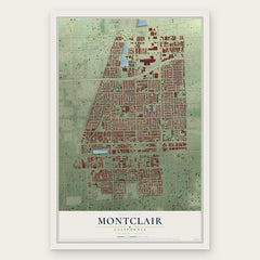
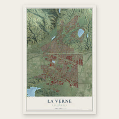
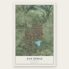
More maps nearby: Diamond Bar, Claremont, Walnut, Charter Oak and Upland.
The art of mapping a place
How This Map Was Made
Real places. Remarkable detail. Discover the layers that turn geographic data into a map of home.

The view from above
Aerial imagery reveals the character of the land: woodland, open fields, and the patterns of a place.

The shape of the land
Elevation data brings hills, valleys, and subtle changes in the landscape into view.

The details of home
Roads, waterways, and building footprints come together to make the map feel unmistakably local.

Geography becomes art
Considered color, shading, and typography bring the layers together in a map made for your wall.


Process illustrated with Mendon, Massachusetts. Aerial imagery: USDA NAIP. Terrain: USGS 3D Elevation Program. Map details and finished artwork: KNOWOL.
The Details
About This Print
Choose an archival matte print, or a black or white Ayous wood frame. The archival matte print is unframed.
Select your size and finish above to see the matching product image and price.
Materials & Craftsmanship
A contemporary map with the character of a classic atlas, printed on archival matte paper. Optional frames are made from Ayous wood.
Your printed map does not include the watermark shown in the full-map preview.
Shipping & Delivery
Free shipping within the United States. Every print is made to order in the USA.
Buying a gift? Add a note in your cart and we'll include it. We never put prices in the package.
Prints ship within 2 to 3 business days. Allow 7 to 10 days total from ordering for delivery. Timing may vary during holidays or periods of high order volume.
Read our shipping policy.
Returns and damaged prints
Each print is made to order. Change-of-mind refunds are not available after production.
If your print arrives damaged, misprinted or incorrect, contact support@knowol.com within 30 days of receiving it. Include your order number, photos and a description of the issue.
Read our full refund and replacement policy. For questions about your order, email support@knowol.com.