
Search for another town
Free U.S. delivery 7 to 10 days after you order
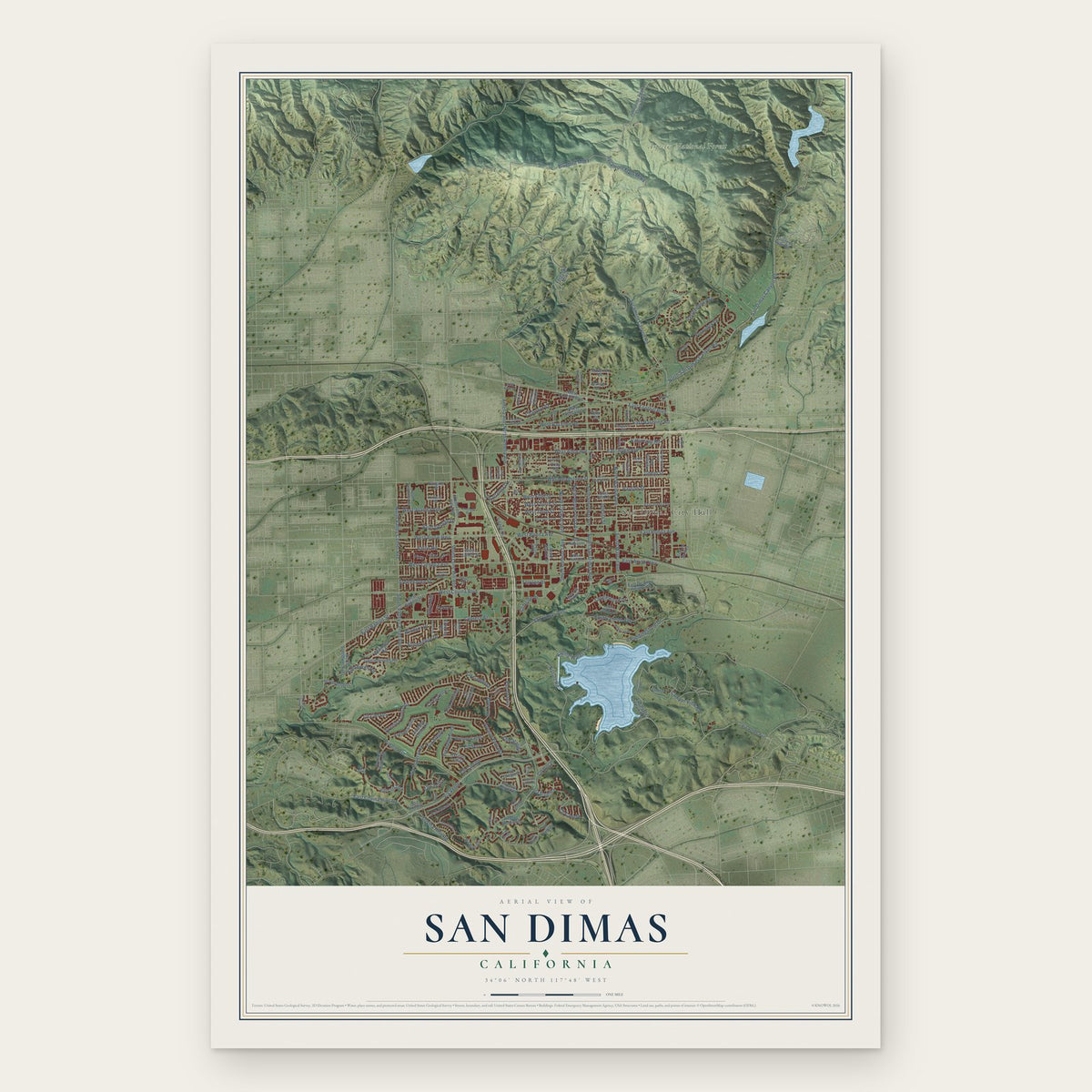
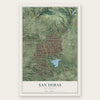
San Dimas, California Map Art
Building by building, with labeled streets and shaded relief.
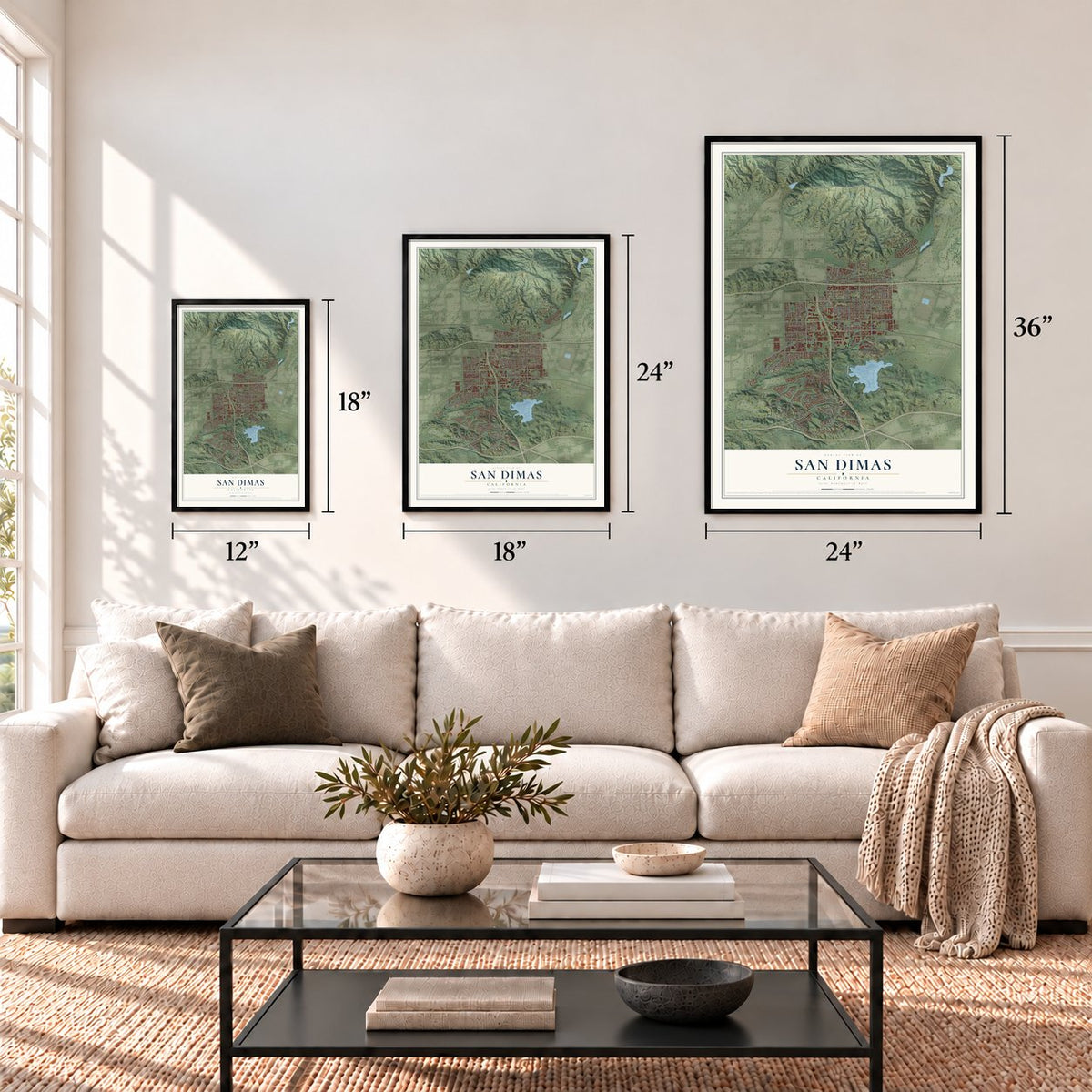
12" x 18" Archival Matte Print
A Map of Home. A Work of Art.
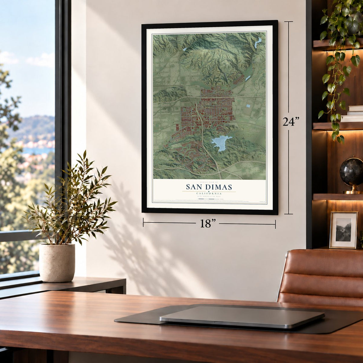
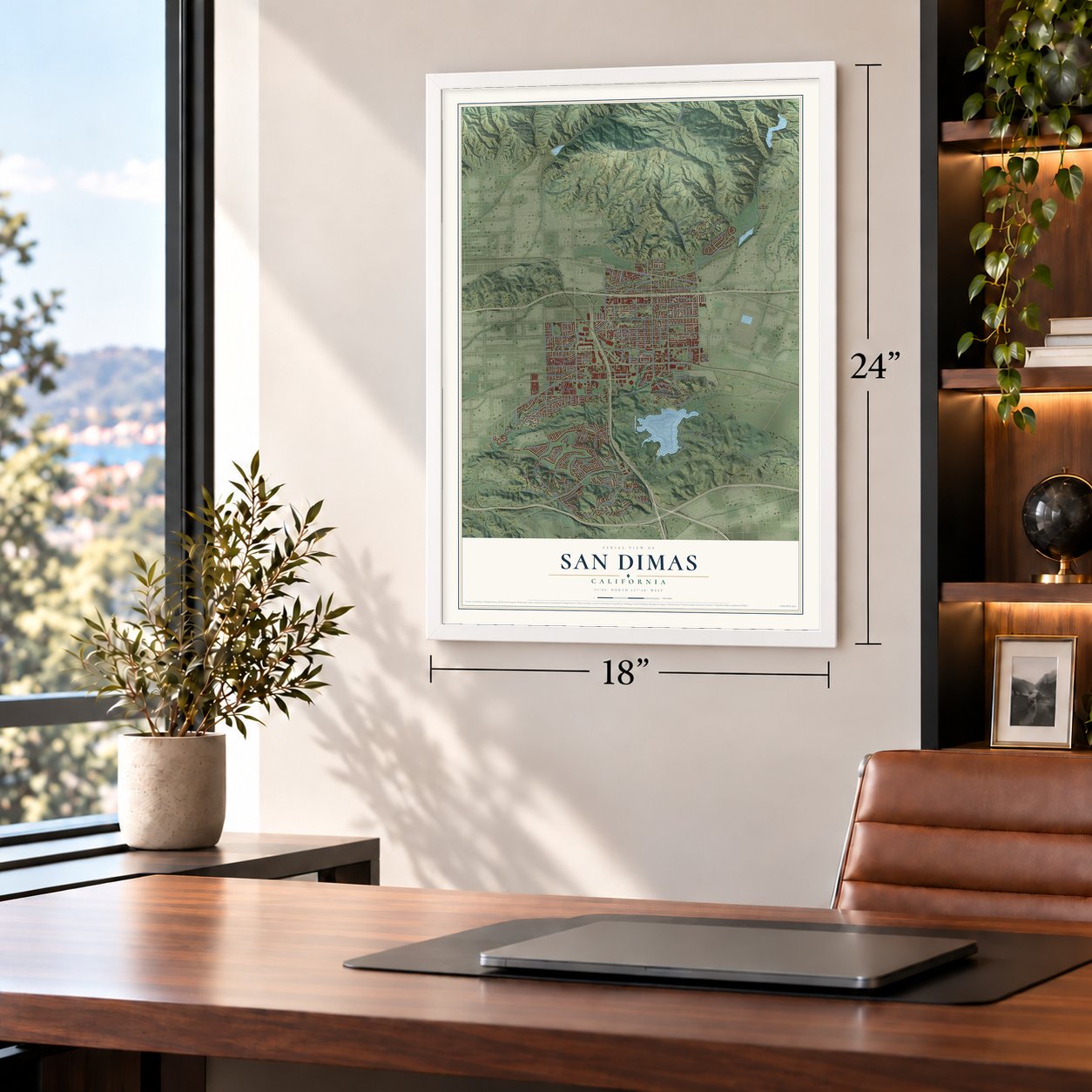
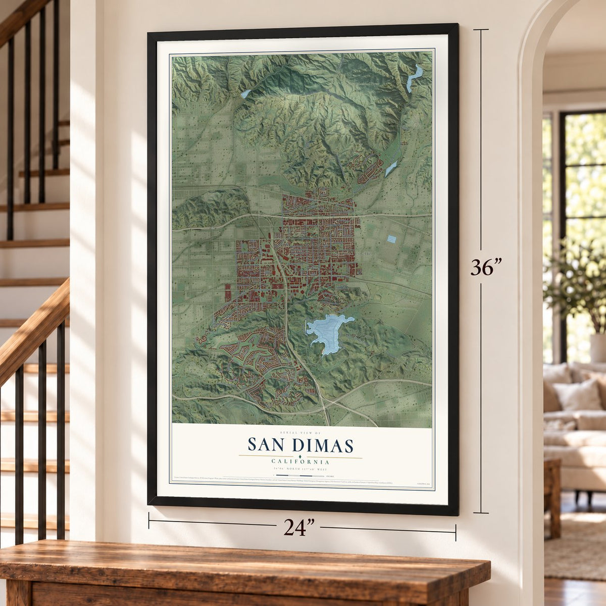
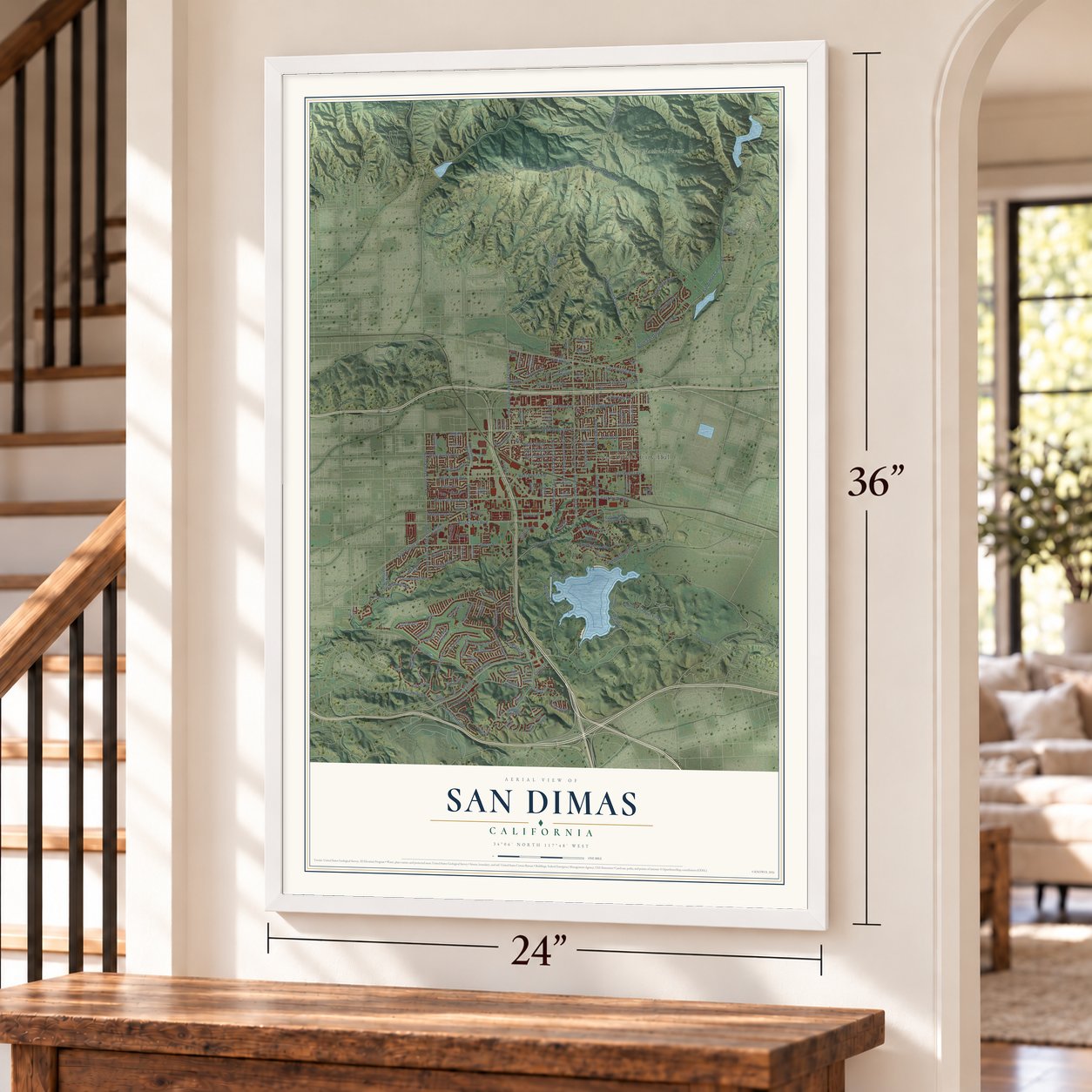
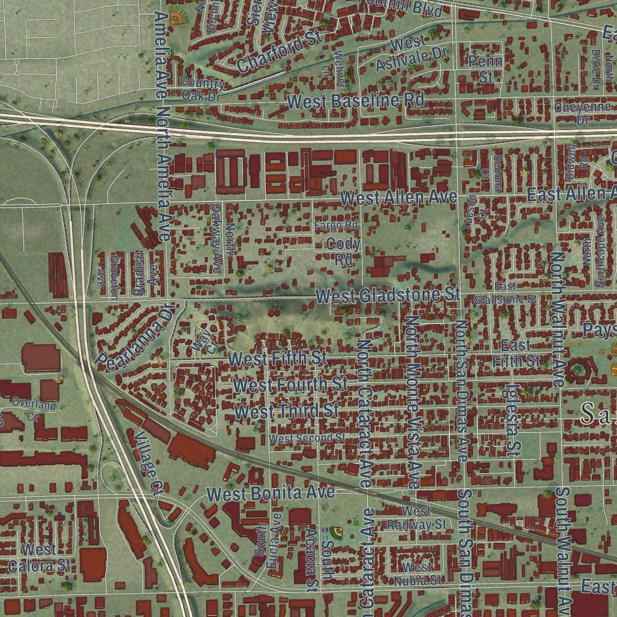
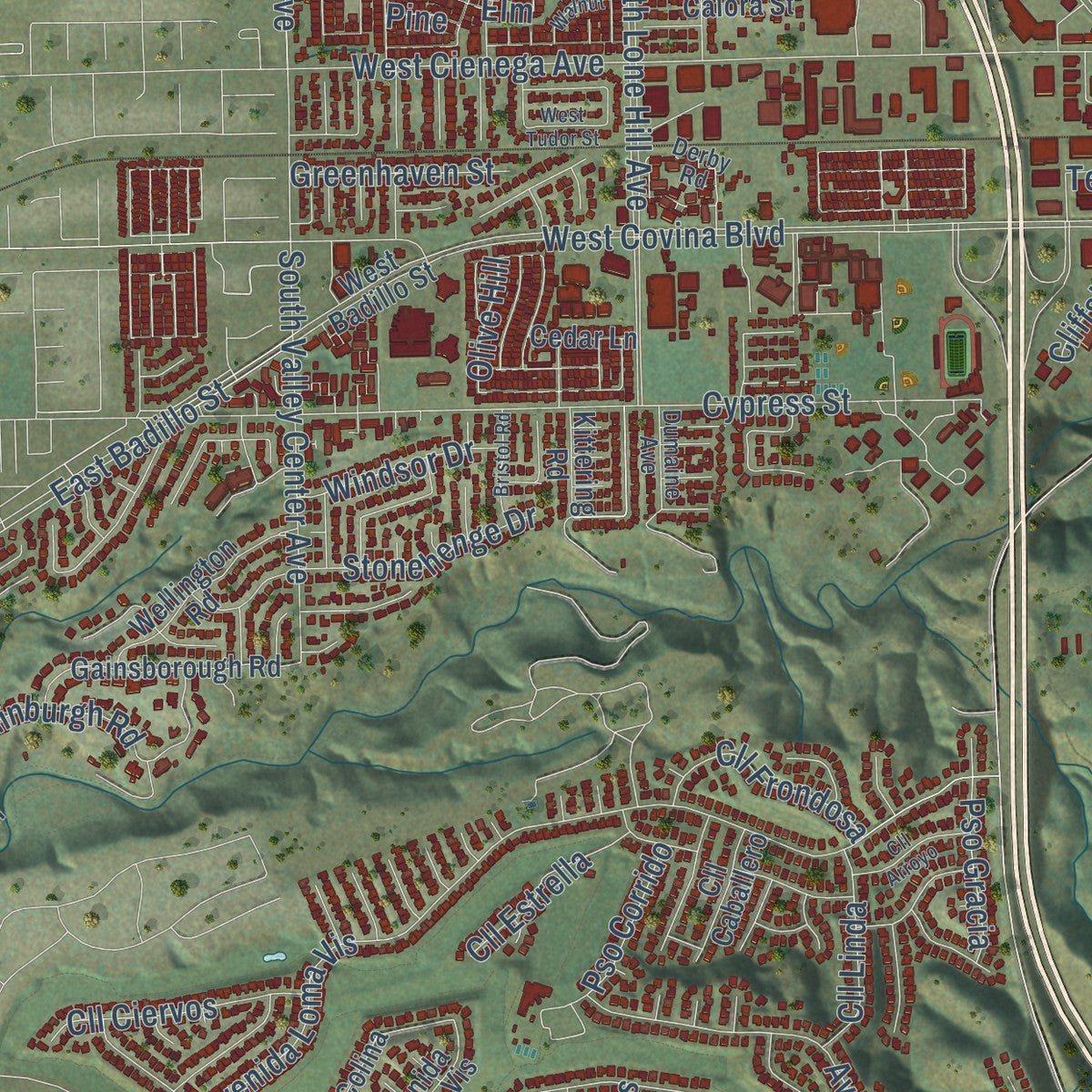
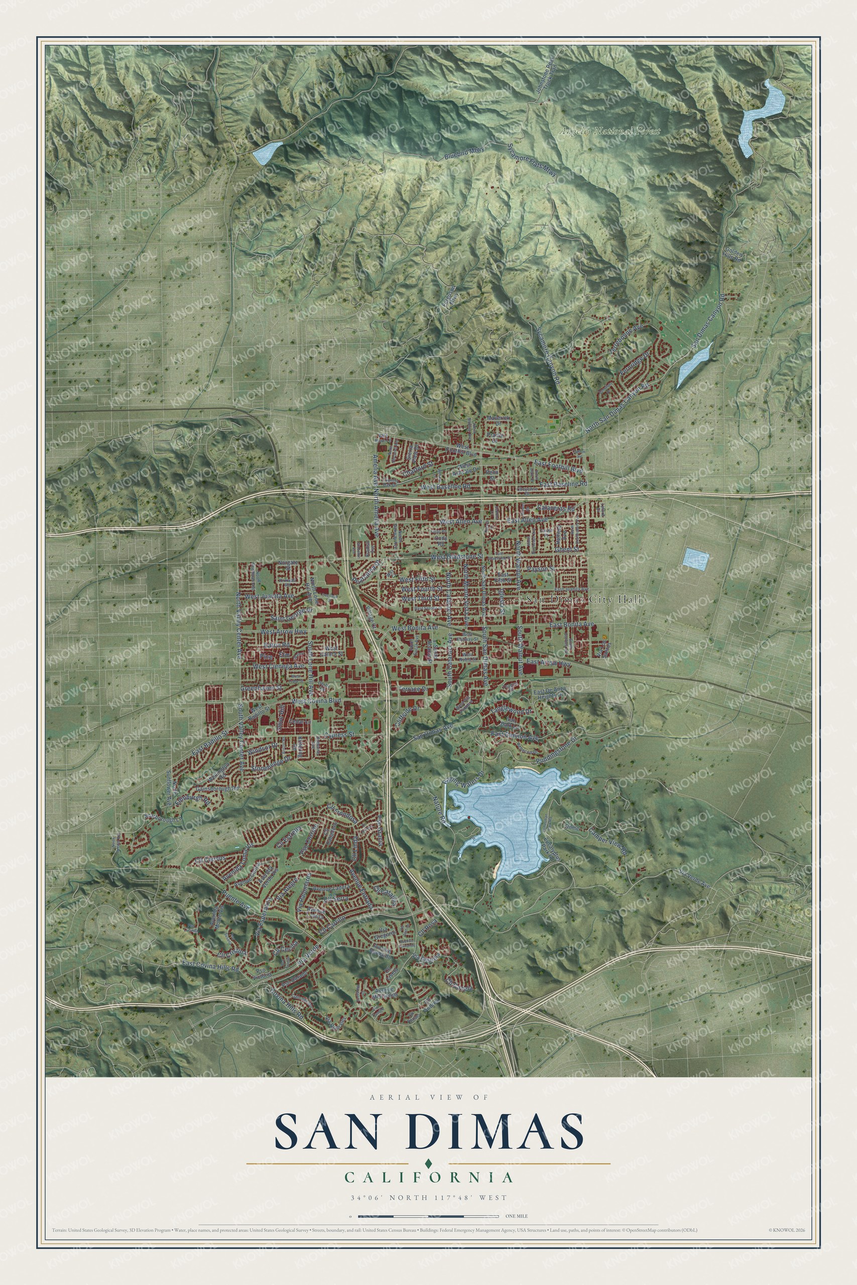
Explore San Dimas, California from a whole new perspective. Created using aerial imagery and detailed geographic data, this map captures San Dimas building by building, with labeled streets, familiar landmarks, and shaded topographical relief that highlights the natural contours of the landscape.
Combining modern data with the timeless character of a vintage atlas, this map is just as interesting up close as it is beautiful on the wall. Whether you grew up in San Dimas, spent memorable years there, or call it home today, this unique map is a great way to celebrate a place that means something to you. Zoom in on the preview to look for your street, and then order a print to put your memories on the wall.
Three ways to hang it
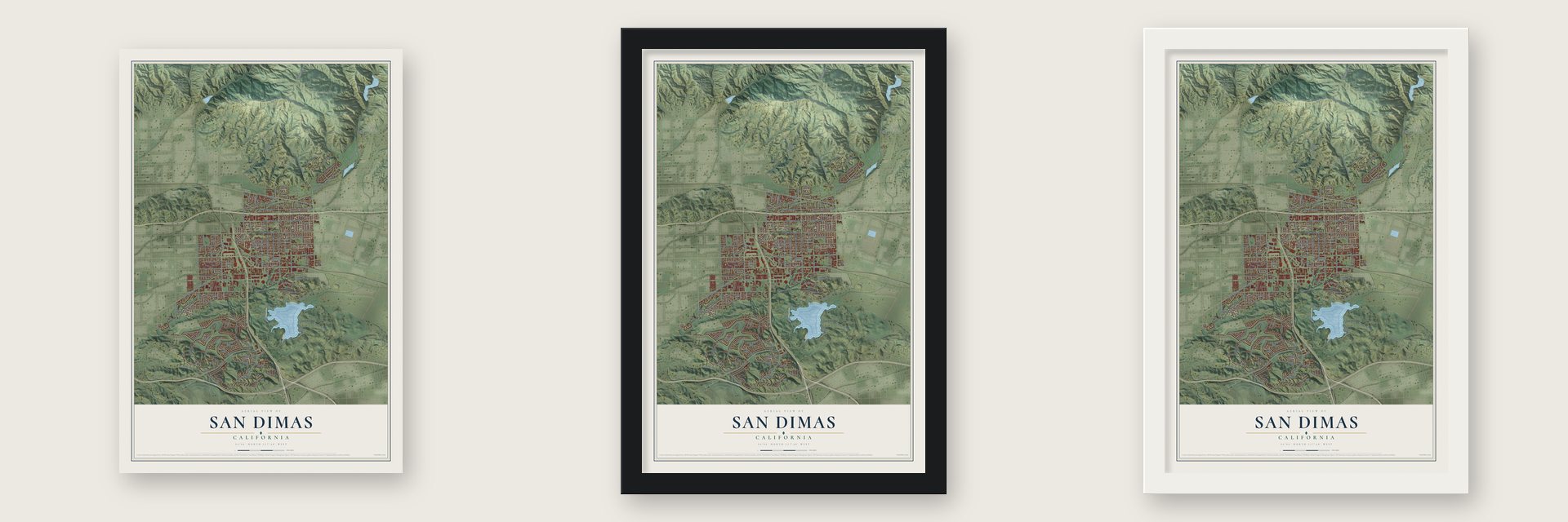
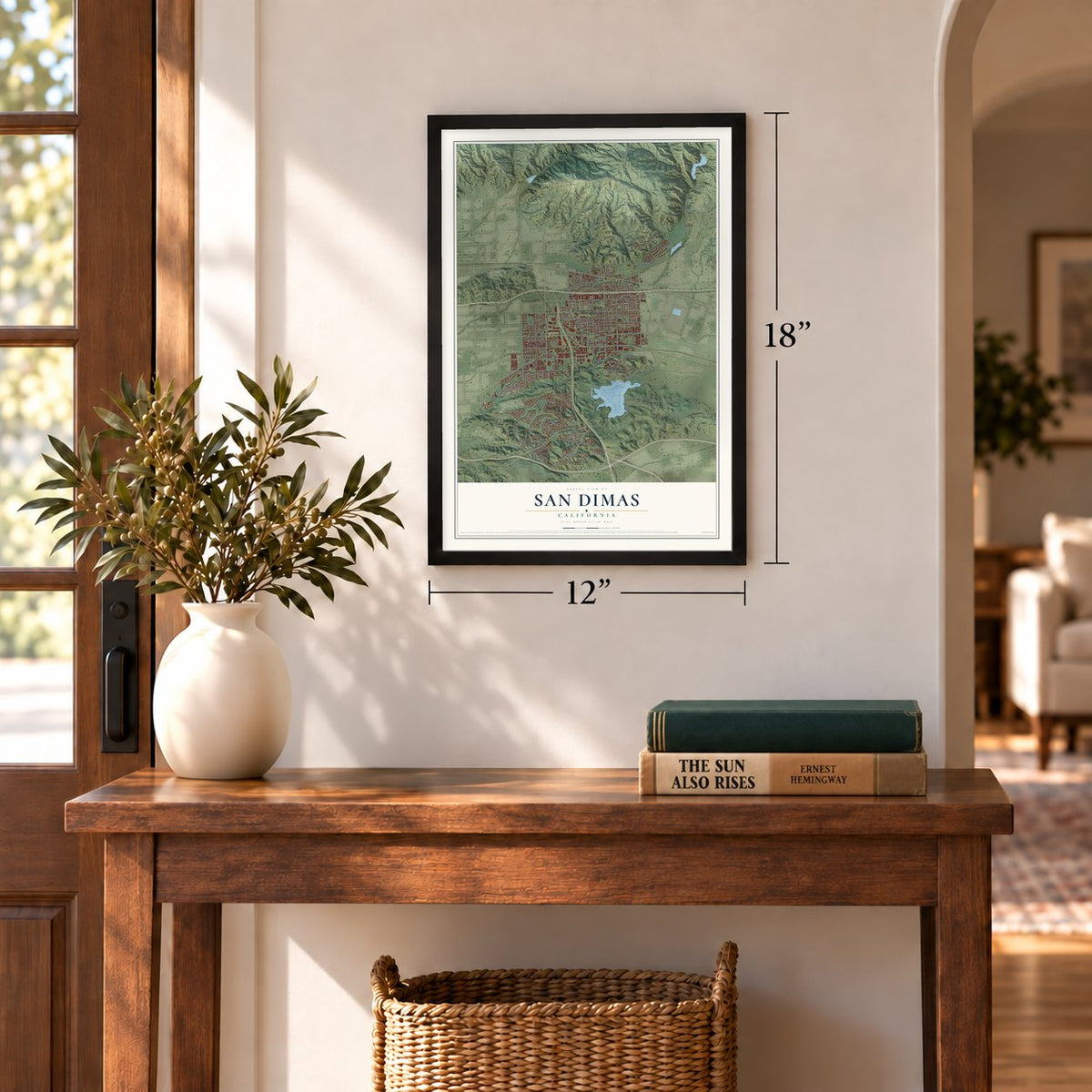
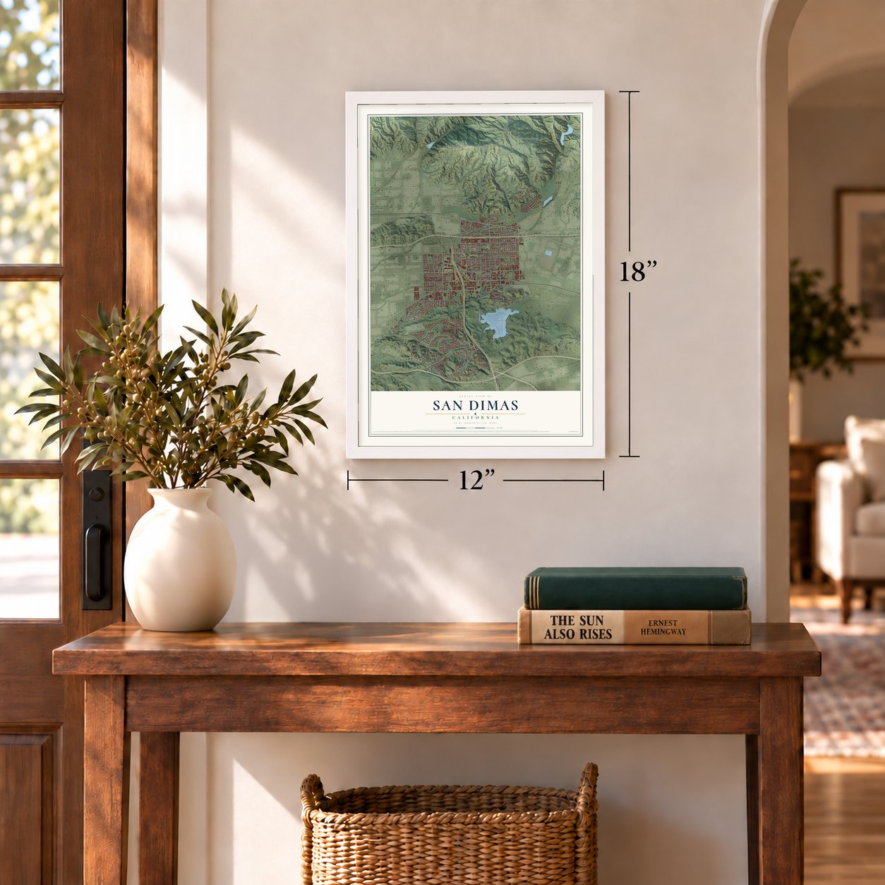
Unframed archival matte, a black wood frame or a white wood frame.
Up close
Geography Worth Displaying
This map was created using accurate cartographic data and authoritative geographic sources, including the U.S. Geological Survey and the Census Bureau. The map brings together terrain, waterways, roads, and building detail. The majority of the streets are labeled, houses are accurately depicted, and the topography is derived from government sources. Combining local data with carefully composed color and shading leads to this beautifully detailed San Dimas artwork for your wall.
Rather than simply showing street outlines, we’ve included as many of the street names as we could reasonably fit on the map while keeping their names legible. Zoom in on the high resolution preview to see exactly what’s on the map. We truly set out to create a statement piece for anyone who loves San Dimas. So whether it’s for you, or a gift for someone you love, we hope this map of San Dimas brings back fond memories.
Read the story behind this map of San Dimas, California from 2026.
Find your street
Names on the San Dimas map
Every name below is printed on this map. Look for your street, your school, the park where you played, or the pond down the road.
Places and landmarks2
- San Dimas City Hall
- Angeles National Forest
Streets and roads179
- Via Verde
- East Foothill Boulevard
- West Allen Avenue
- East Allen Avenue
- South Cataract Avenue
- West Arrow Highway
- San Dimas Avenue
- West Covina Boulevard
- South San Dimas Avenue
- Sycamore Flats Mtwy
- North San Dimas Canyon Road
- San Dimas Canyon Road
- West Gladstone Street
- Puddingstone Drive
- South Valley Center Avenue
- North Cataract Avenue
- Avenida Loma Vis
- Raging Waters Drive
- Puente Avenue
- West Cienega Avenue
- Terrebonne Avenue
- North Walnut Avenue
- Cypress Street
- South Walnut Avenue
- West Fifth Street
- East Arrow Highway
- North Amelia Avenue
- Sycamore Canyon Road
- Via Esperanza
- East Bonita Avenue
Show all 179 streets
- East Badillo Street
- South Lone Hill Avenue
- East Baseline Road
- North Valley Center Avenue
- West Baseline Road
- Avenue Entrada
- North Monte Vista Avenue
- West Bonita Avenue
- Via Palomares
- East Covina Hills Road
- East Cannon Avenue
- West Third Street
- West Fourth Street
- Payson Street
- Cll Cristina
- Cll Carrillo
- Camper View Road
- Bluebird Mtwy
- Cll Canela
- Calaveras Road
- Edinburgh Road
- West Juanita Avenue
- Covina Hills Road
- Nature Road
- Iglesia Street
- Cll Cecilia
- Fernridge Drive
- Eaton Road
- Cll Serra
- Amelia Avenue
- Cll Ciervos
- Tanglewood Drive
- Stonehenge Drive
- Cll Frondosa
- Charford Street
- Via Alegre
- Saint George Drive
- Cliffside Drive
- Terrace Drive
- Pso Gracia
- Greenhaven Street
- Cll Linda
- Windsor Drive
- Cll Estrella
- Pearlanna Drive
- Cll Catalina
- Pso Corrido
- Ghent Street
- Cll Rosa
- Elm
- Olive Hill
- Pine
- North Sunflower Avenue
- West Foothill Boulevard
- Via Verde Avenue
- Ferguson Mtwy
- North San Dimas Avenue
- West Badillo Street
- Johnstone Peak Truck Trail
- Avenida Monte Vis
- North Lone Hill Avenue
- Avenue Bernardo
- Gainsborough Road
- Avenida Verde Vis
- Hatfield Avenue
- Avenue Ladera
- Wellington Road
- East De Anza Heights Drive
- Via Romales
- Avenue Colina
- Avenue Melisenda
- Avenue Lomita
- Via Amarilla
- Iron Bark Lane
- Golden Hills Road
- West Calora Street
- Scarborough Lane
- West Ashvale Drive
- Pso Dorado
- Via Los Santos
- South Acacia Street
- East Fifth Street
- Sierra View Drive
- Pso Victoria
- Cll Caballero
- Via Gregorio
- Eucalyptus Park Road
- Maverick Drive
- Norgate Street
- Village Court
- Cll Liseta
- Cedar Lane
- Kittering Road
- Cll Andrea
- Prairie Drive
- Dome
- Penn Street
- Cody Road
- East Juanita Avenue
- Rebecca Drive
- Cam del Sur
- Teague Drive
- Cheyenne Drive
- West Via Vaquero
- Country Oak Drive
- South Eucla Avenue
- West Railway Street
- Derby Road
- North Shellman Avenue
- Kirkwall Road
- West Nubia Street
- North Oakway Avenue
- Bradish Avenue
- Carlet Place
- Dumaine Avenue
- Wild Rose Lane
- Cll Renata
- Lyford Drive
- Way Court
- East Gladstone Street
- West Second Street
- North Shaftesbury Avenue
- Fisherman Park Road
- Deerflats Drive
- North Shirlmar Avenue
- North Northcape Avenue
- Bidwell Road
- West Tudor Street
- South Gaffney Avenue
- North Birchnell Avenue
- Cll Arroyo
- North Reeder Avenue
- Pso Susana
- Bristol Road
- Overland Court
- North Dixie Drive
- Cll Margarita
- Via Justino
- Pso Teresa
- Wehner Lane
- Avenue Fernando
- Fargo Road
- Walnut
- Groveton Avenue
- Pso Lucinda
- Dalton Road
- Tucson Court
- Sedona Court
- Via Camille
Names are listed as they appear on the printed map. Zoom into the product photos to find them.
About San Dimas, California
San Dimas is a city of 34,924 people in Los Angeles County, in the San Gabriel Valley at the foot of the San Gabriel Mountains. Tongva people lived here first, and in 1774 Juan Bautista de Anza crossed the area on the first overland expedition from New Spain toward Monterey Bay. In 1837 Governor Juan Bautista Alvarado granted the land to Ygnacio Palomares and Ricardo Vejar as Rancho San Jose, where they raised sheep and cattle and grew crops for the rancho.
A drought in the early 1860s killed much of the ranch's livestock. Palomares died in 1864, the same year Vejar lost his share to foreclosure by two Los Angeles merchants, and the merchants sold out to Louis Phillips in 1866. When the Los Angeles and San Gabriel Valley Railroad arrived in 1887, the area was mapped for the first time, and the San Jose Ranch Company laid out its first streets. Shops opened, the town took the name San Dimas, and it incorporated as a city in 1960.
- Named for Saint DismasSan Dimas is Spanish for Saint Dismas. The town borrowed its name from San Dimas Canyon, which cuts into the San Gabriel Mountains north of the city.
- La Cienega Mud SpringsBefore the railroad came, the area went by La Cienega Mud Springs. Springs of mud fed a marsh along the water, and people came to the spot as a place of healing.
- A town of orangesAfter the land boom that followed the railroad, San Dimas grew quickly into a farming town. Oranges led its crops and its business until the mid-20th century.
- Built with lumber milled hereA planing mill went up in San Dimas to cut lumber for the San Dimas Hotel, the Santa Fe depot and several smaller downtown buildings. The hotel joined the National Register in 1972. The old depot on Bonita Avenue now houses the Pacific Railroad Museum, a museum and library run by the Pacific Railroad Society.
Keep exploring California
San Dimas is one of 1,990 California towns we've mapped. Every dot on the map is a print of its own.
The search covers every state, California first.
Near San Dimas
Order 2 or more town maps and save 10%. Shown in the size and finish you picked above, so they hang as a set.
- La Verne 12" x 18" / Archival Matte Print $39.99
- Charter Oak 12" x 18" / Archival Matte Print $39.99
- Glendora 12" x 18" / Archival Matte Print $39.99
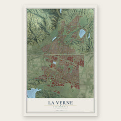
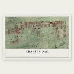
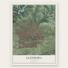
More maps nearby: Pomona, Covina, Citrus, Claremont and Walnut.
The art of mapping a place
How This Map Was Made
Real places. Remarkable detail. Discover the layers that turn geographic data into a map of home.

The view from above
Aerial imagery reveals the character of the land: woodland, open fields, and the patterns of a place.

The shape of the land
Elevation data brings hills, valleys, and subtle changes in the landscape into view.

The details of home
Roads, waterways, and building footprints come together to make the map feel unmistakably local.

Geography becomes art
Considered color, shading, and typography bring the layers together in a map made for your wall.


Process illustrated with Mendon, Massachusetts. Aerial imagery: USDA NAIP. Terrain: USGS 3D Elevation Program. Map details and finished artwork: KNOWOL.
The Details
About This Print
Choose an archival matte print, or a black or white Ayous wood frame. The archival matte print is unframed.
Select your size and finish above to see the matching product image and price.
Materials & Craftsmanship
A contemporary map with the character of a classic atlas, printed on archival matte paper. Optional frames are made from Ayous wood.
Your printed map does not include the watermark shown in the full-map preview.
Shipping & Delivery
Free shipping within the United States. Every print is made to order in the USA.
Buying a gift? Add a note in your cart and we'll include it. We never put prices in the package.
Prints ship within 2 to 3 business days. Allow 7 to 10 days total from ordering for delivery. Timing may vary during holidays or periods of high order volume.
Read our shipping policy.
Returns and damaged prints
Each print is made to order. Change-of-mind refunds are not available after production.
If your print arrives damaged, misprinted or incorrect, contact support@knowol.com within 30 days of receiving it. Include your order number, photos and a description of the issue.
Read our full refund and replacement policy. For questions about your order, email support@knowol.com.