
Search for another town
Free U.S. delivery 7 to 10 days after you order
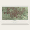
Covina, California Map Art
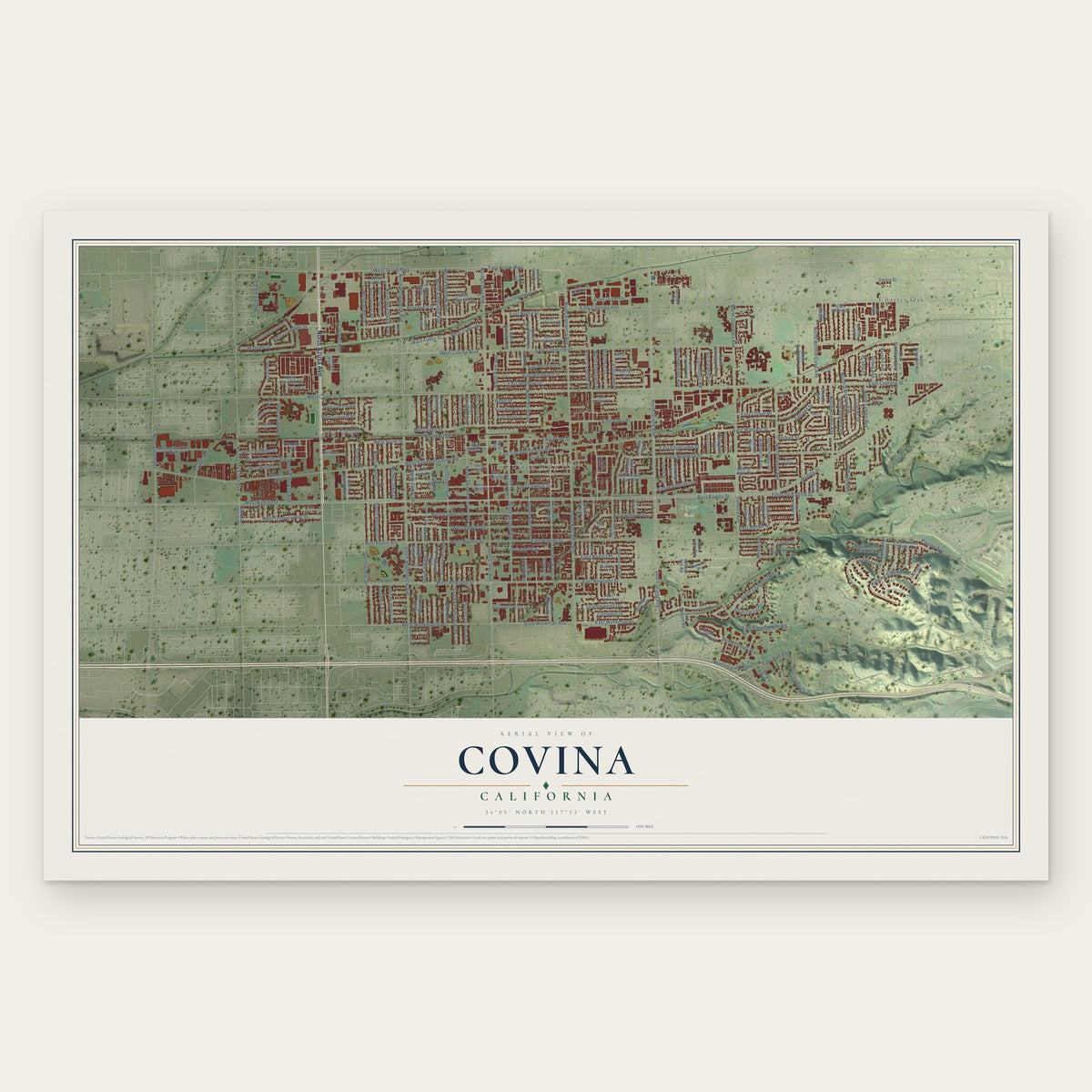
Building by building, with labeled streets and shaded relief.
12" x 18" Archival Matte Print
A Map of Home. A Work of Art.
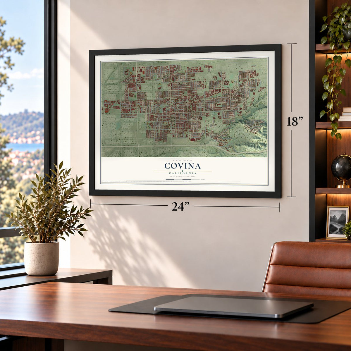
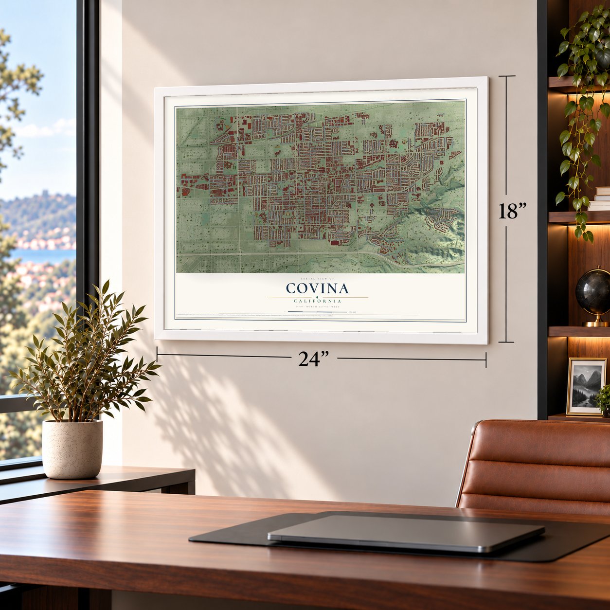
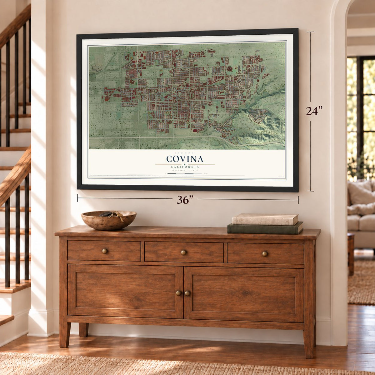
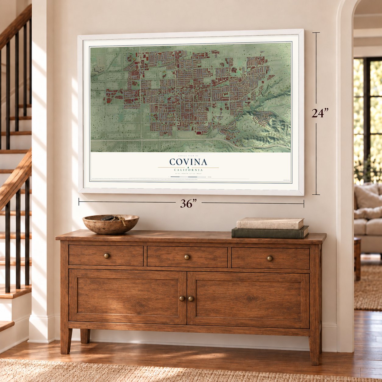
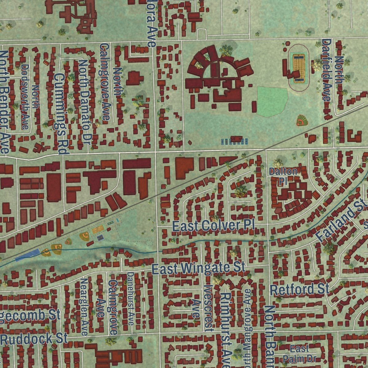
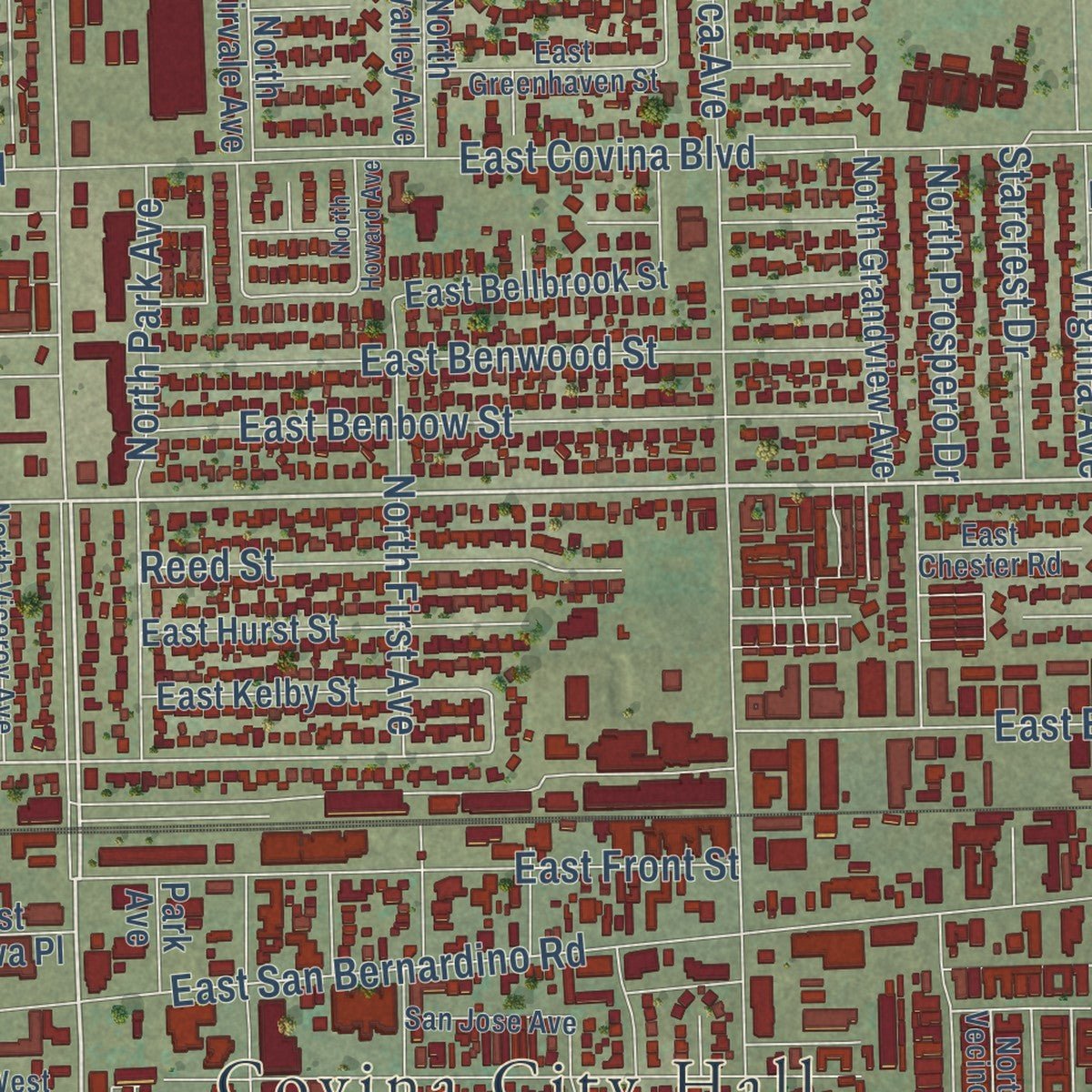
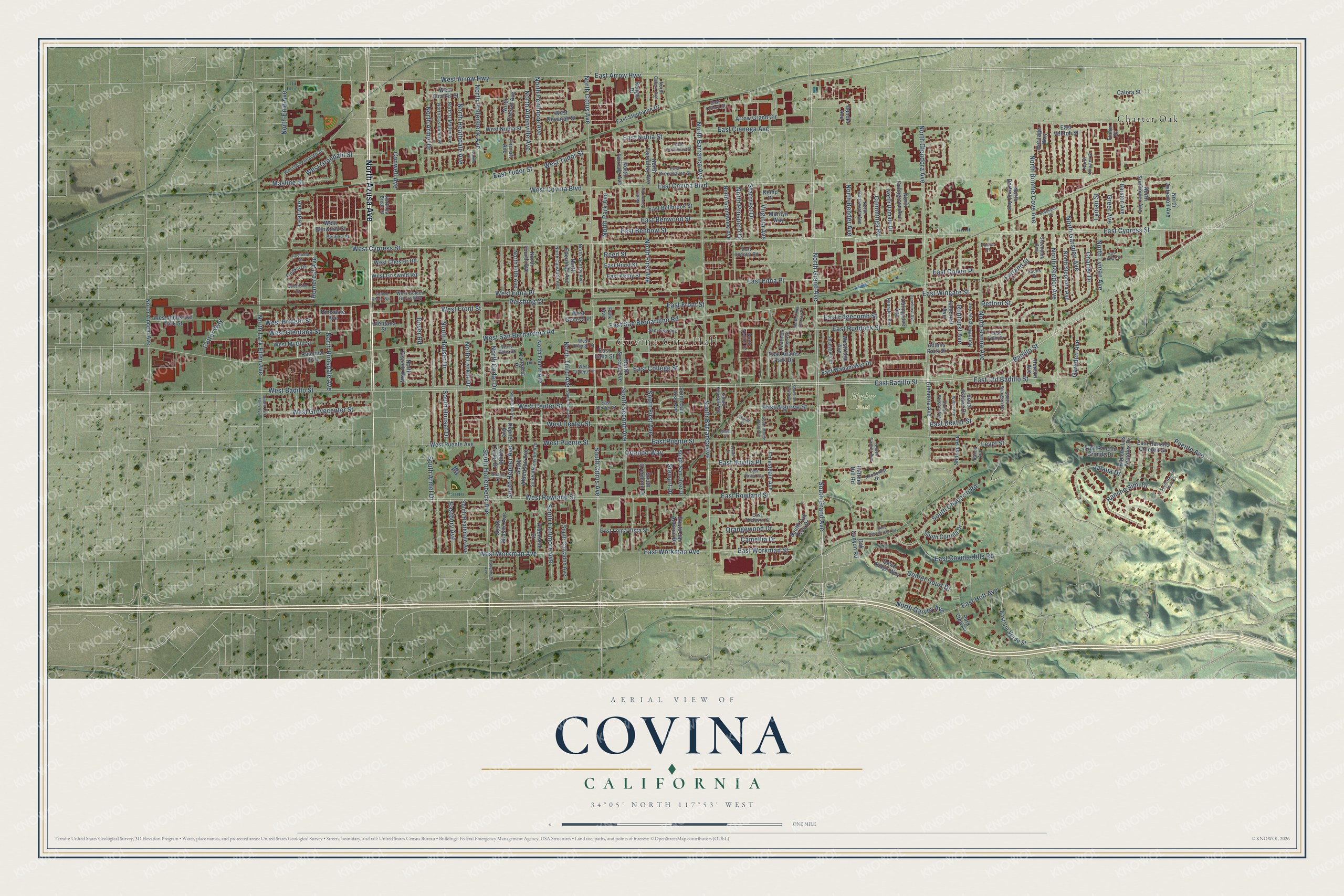
Explore Covina, California from a whole new perspective. Created using aerial imagery and detailed geographic data, this map captures Covina building by building, with labeled streets, familiar landmarks, and shaded topographical relief that highlights the natural contours of the landscape.
Combining modern data with the timeless character of a vintage atlas, this map is just as interesting up close as it is beautiful on the wall. Whether you grew up in Covina, spent memorable years there, or call it home today, this unique map is a great way to celebrate a place that means something to you. Zoom in on the preview to look for your street, and then order a print to put your memories on the wall.
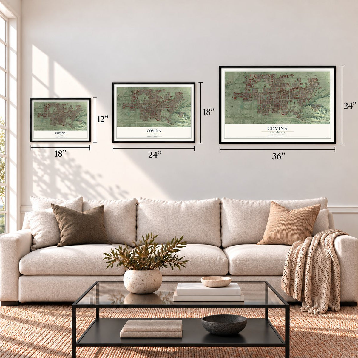
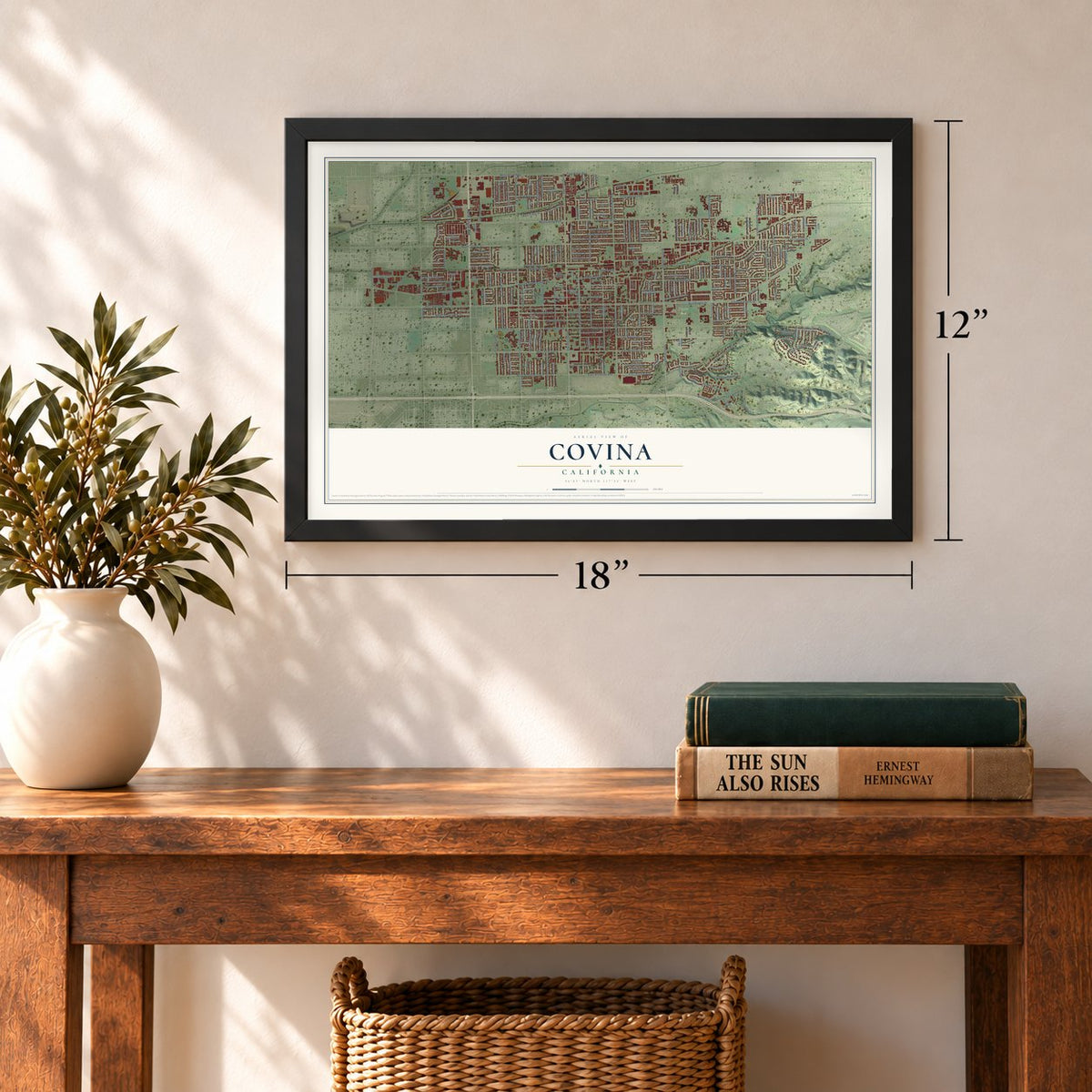
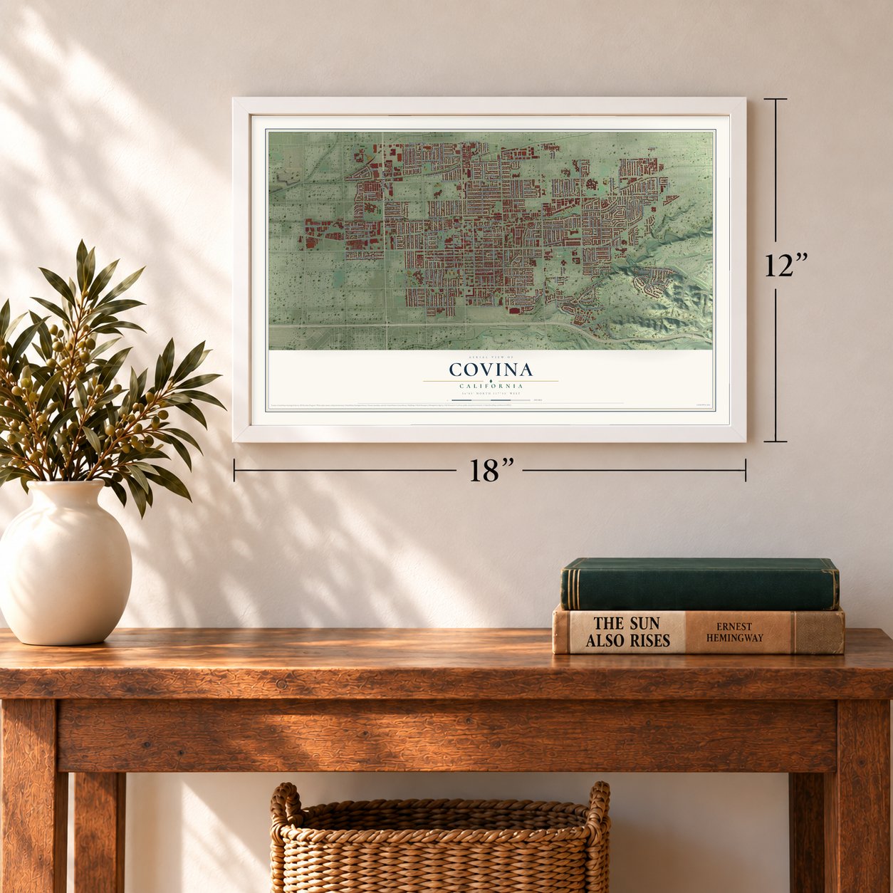
Three ways to hang it
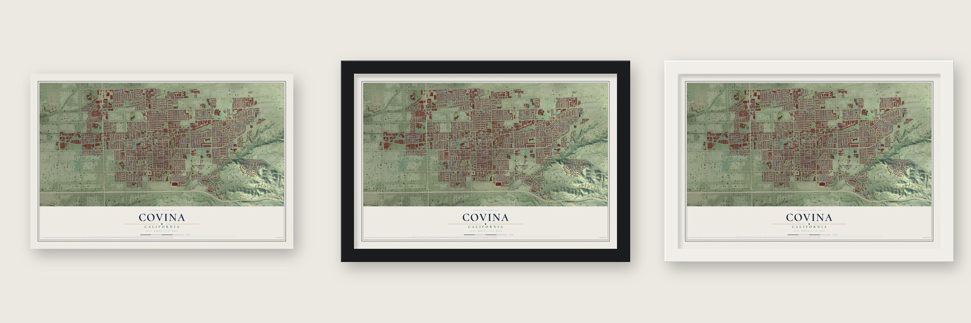
Unframed archival matte, a black wood frame or a white wood frame.
Up close
Geography Worth Displaying
This map was created using accurate cartographic data and authoritative geographic sources, including the U.S. Geological Survey and the Census Bureau. The map brings together terrain, waterways, roads, and building detail. The majority of the streets are labeled, houses are accurately depicted, and the topography is derived from government sources. Combining local data with carefully composed color and shading leads to this beautifully detailed Covina artwork for your wall.
Rather than simply showing street outlines, we’ve included as many of the street names as we could reasonably fit on the map while keeping their names legible. Zoom in on the high resolution preview to see exactly what’s on the map. We truly set out to create a statement piece for anyone who loves Covina. So whether it’s for you, or a gift for someone you love, we hope this map of Covina brings back fond memories.
Read the story behind this map of Covina, California from 2026.
Find your street
Names on the Covina map
Every name below is printed on this map. Look for your street, your school, the park where you played, or the pond down the road.
Places and landmarks3
- Covina City Hall
- Heyler Field
- Charter Oak
Streets and roads252
- North Azusa Avenue
- East Badillo Street
- East Cypress Street
- North Grand Avenue
- West Badillo Street
- North Citrus Avenue
- South Grand Avenue
- East Arrow Highway
- West Arrow Highway
- West Cypress Street
- East Edna Place
- West Edna Place
- South Hollenbeck Avenue
- East Navilla Place
- North Glendora Avenue
- East Dexter Street
- North Hollenbeck Avenue
- North Fenimore Avenue
- East Ruddock Street
- North Lark Ellen Avenue
- East Old Badillo Street
- East Covina Boulevard
- West Front Street
- East Puente Street
- West San Bernardino Road
- North Barranca Avenue
- West Rowland Street
- East Cienega Avenue
- North Reeder Avenue
- West Grondahl Street
Show all 252 streets
- East San Bernardino Road
- East Rowland Street
- South Citrus Avenue
- East Benbow Street
- East Edgecomb Street
- North Armel Drive
- East Covina Hills Road
- South Barranca Avenue
- East Wingate Street
- East Algrove Street
- East Workman Avenue
- North Lyman Avenue
- North First Avenue
- South Second Avenue
- North Heathdale Avenue
- South Armel Drive
- West Covina Boulevard
- East Benwood Street
- North Garsden Avenue
- North Banna Avenue
- East Tudor Street
- West Workman Avenue
- East Workman Street
- East Nubia Street
- East Colver Place
- North Prospero Drive
- West Center Street
- West Grovecenter Street
- East Front Street
- Rancho Simi Drive
- North Rimsdale Avenue
- Farland Street
- South Fenimore Avenue
- South First Avenue
- Badillo Street
- Jalapa Drive
- North Bonnie Cove Avenue
- West Dexter Street
- North Park Avenue
- North Cedar Drive
- North Bender Avenue
- East College Street
- North Third Avenue
- South Chaparro Road
- Greer Avenue
- Cummings Road
- Reed Street
- Starcrest Drive
- North Aldenville Avenue
- East Holt Avenue
- North Houser Drive
- North Enid Avenue
- Masline Street
- North Larkin Drive
- Retford Street
- Rimhurst Avenue
- North Garvey Avenue
- West Puente Street
- Orangewood Drive
- Virginia Avenue
- South Hepner Avenue
- Orlando Way
- West Glentana Street
- Conwell Avenue
- Garsden Avenue
- Eastbury Avenue
- South Houser Drive
- Homerest Avenue
- Level Street
- Center Court Drive
- Leaf Avenue
- West Tudor Street
- West Bridger Street
- Cutter Way
- Charter Drive
- Puente Avenue
- Camellia Drive
- Pershing Court
- Dover Road
- Lyman Street
- Stewart Drive
- North Sunflower Avenue
- Adams Park Drive
- East Wanamaker Drive
- East Italia Street
- North Darfield Avenue
- North Grandview Avenue
- North Stephora Avenue
- North Elspeth Way
- South Albertson Avenue
- Arrow Grand Circle
- East Bellbrook Street
- South San Jose Avenue
- South San Jose Drive
- South Heathdale Avenue
- Oak Canyon Road
- West Puente Avenue
- East Hurst Street
- Valencia Place
- North Second Avenue
- North Edenfield Avenue
- East Adams Park Drive
- North Vincent Avenue
- North Fourth Avenue
- Rancho Los Nogales Drive
- North Fifth Avenue
- North Fairvalley Avenue
- South Calvados Avenue
- East Stephanie Drive
- North Calmgrove Avenue
- West Alcross Street
- East Via Verde Street
- West Nubia Street
- South Corrida Drive
- East Rancho Culebra Drive
- Westridge Avenue
- Forestdale Avenue
- West Industrial Park Street
- Bender Avenue
- North Fircroft Avenue
- East Kelby Street
- South Eremland Drive
- Glendora Avenue
- South Cedar Drive
- South Oak Tree Drive
- West Devanah Street
- North Fairvale Avenue
- East Loma Vista Street
- North Damato Drive
- West Chester Road
- West Griswold Road
- East Rancho Grande Drive
- Barston Avenue
- North Asherton Avenue
- West Benwood Street
- Ivescrest Avenue
- Shouse Avenue
- Dawn Ridge Way
- Henton Avenue
- West McGill Street
- South Ashton Drive
- South Midsite Avenue
- Ranger Drive
- Park View Drive
- Heritage Way
- South San Antonio Drive
- Aldenville Street
- Heffner Hill Road
- Marilyn Way
- East Venton Street
- Calmgrove Avenue
- Ramona Boulevard
- Calora Street
- Rimsdale Avenue
- Glentana Street
- West Geneva Place
- Tudor Street
- Hepner Avenue
- Park Avenue
- Fircroft Avenue
- Kemp Place
- South Kendall Way
- East Thelborn Street
- Greenpark Avenue
- North Dodsworth Avenue
- South Aldenville Avenue
- East Palm Drive
- North Viceroy Avenue
- San Jose Avenue
- North Calvados Avenue
- East Greenhaven Street
- North Vecino Drive
- North De Lay Avenue
- North Calera Avenue
- North Mangrove Avenue
- East Center Street
- North Eastbury Avenue
- North O'Malley Avenue
- West Palm Drive
- North Charter Drive
- West Greenhaven Street
- West College Street
- Shadyglen Drive
- Knollcrest Drive
- South Starglen Drive
- Fredkin Drive
- Nearglen Avenue
- South Wilson Avenue
- West Golden Grove Way
- West Orange Street
- East Chester Road
- South Farber Avenue
- Sachs Place
- Benbow Street
- East Calora Street
- North La Breda Street
- Banna Avenue
- Casad Street
- Dalton Place
- Hollenbeck Avenue
- South Lark Ellen Avenue
- East Ranchcreek Road
- East Groverdale Street
- Brookport Street
- South Third Avenue
- South Monte Vista Avenue
- East Haller Street
- East Casad Avenue
- South De Lay Avenue
- South Fifth Avenue
- South Rancho Vista Drive
- Danehurst Avenue
- Coolfield Drive
- Wilbur Avenue
- Queenside Drive
- North Howard Avenue
- North Linda Terrace Drive
- Golden Grove Way
- Dexter Street
- Lowell Street
- Larkin Drive
- Alisal Street
Names are listed as they appear on the printed map. Zoom into the product photos to find them.
About Covina, California
Covina is a city of 51,268 people in Los Angeles County, set in the San Gabriel Valley below the San Gabriel Mountains. In 1876 two Costa Rican brothers, Pedro and Julián Badilla, bought 5,563 acres of the rancho, where Julián and his younger brother Antonio planned to grow coffee.
The coffee plantation never took hold. The Badillas fell behind on a mortgage, and in 1879 J. Edward Hollenbeck took over their land by foreclosure. In 1881 the real estate investor Joseph Swift Phillips agreed to buy 2,000 acres of it from Hollenbeck, and he founded Covina on that tract in 1884. The town grew enough to incorporate as a city in 1901.
- Cove plus vineFred Eaton, who surveyed the Phillips Tract, looked at the lay of the land and at the many vineyards growing on it, and he joined the words "cove" and "vine" to make Covina. The new name first showed up in print in December 1884, on Eaton's tract map and in the newspapers.
- Third in the world for orangesThe Southern Pacific Railroad reached Covina in 1895. Through the first half of the 20th century, broad groves of oranges and lemons brought the city wealth and fame, and by 1907 Covina was calling itself the world's third-biggest shipping point for oranges. After World War II, new houses gradually replaced the groves, and Covina became a suburban bedroom community.
- Firehouse and jail, 1911Covina's first civic building was a combined firehouse and jail in the mission revival style, built in 1911 by the pioneer builder Clarence Allison. It stands just behind City Hall in Old Town, and the Covina Valley Historical Society now keeps its archive of the city's history there as the Firehouse Jail Museum.
- Gumby was born hereArt Clokey finished film school at USC, and in the early 1950s he and Ruth, his wife, created Gumby while living in Covina.
- Harold Teen's hometownThe Harold Teen comic strip, and the 1934 movie made from it, followed a group of teenagers from Covina High School. A malt shop in downtown Covina took the name the Sugar Bowl, after the strip's after-school hangout, with the permission of the artist Carl Eds.
Keep exploring California
Covina is one of 1,990 California towns we've mapped. Every dot on the map is a print of its own.
The search covers every state, California first.
Near Covina
Order 2 or more town maps and save 10%. Shown in the size and finish you picked above, so they hang as a set.
- Citrus 12" x 18" / Archival Matte Print $39.99
- Charter Oak 12" x 18" / Archival Matte Print $39.99
- Vincent 12" x 18" / Archival Matte Print $39.99
More maps nearby: West Covina, Azusa, Walnut, Glendora and San Dimas.
The art of mapping a place
How This Map Was Made
Real places. Remarkable detail. Discover the layers that turn geographic data into a map of home.

The view from above
Aerial imagery reveals the character of the land: woodland, open fields, and the patterns of a place.

The shape of the land
Elevation data brings hills, valleys, and subtle changes in the landscape into view.

The details of home
Roads, waterways, and building footprints come together to make the map feel unmistakably local.

Geography becomes art
Considered color, shading, and typography bring the layers together in a map made for your wall.


Process illustrated with Mendon, Massachusetts. Aerial imagery: USDA NAIP. Terrain: USGS 3D Elevation Program. Map details and finished artwork: KNOWOL.
The Details
About This Print
Choose an archival matte print, or a black or white Ayous wood frame. The archival matte print is unframed.
Select your size and finish above to see the matching product image and price.
Materials & Craftsmanship
A contemporary map with the character of a classic atlas, printed on archival matte paper. Optional frames are made from Ayous wood.
Your printed map does not include the watermark shown in the full-map preview.
Shipping & Delivery
Free shipping within the United States. Every print is made to order in the USA.
Buying a gift? Add a note in your cart and we'll include it. We never put prices in the package.
Prints ship within 2 to 3 business days. Allow 7 to 10 days total from ordering for delivery. Timing may vary during holidays or periods of high order volume.
Read our shipping policy.
Returns and damaged prints
Each print is made to order. Change-of-mind refunds are not available after production.
If your print arrives damaged, misprinted or incorrect, contact support@knowol.com within 30 days of receiving it. Include your order number, photos and a description of the issue.
Read our full refund and replacement policy. For questions about your order, email support@knowol.com.