
Search for another town




Free U.S. delivery 7 to 10 days after you order
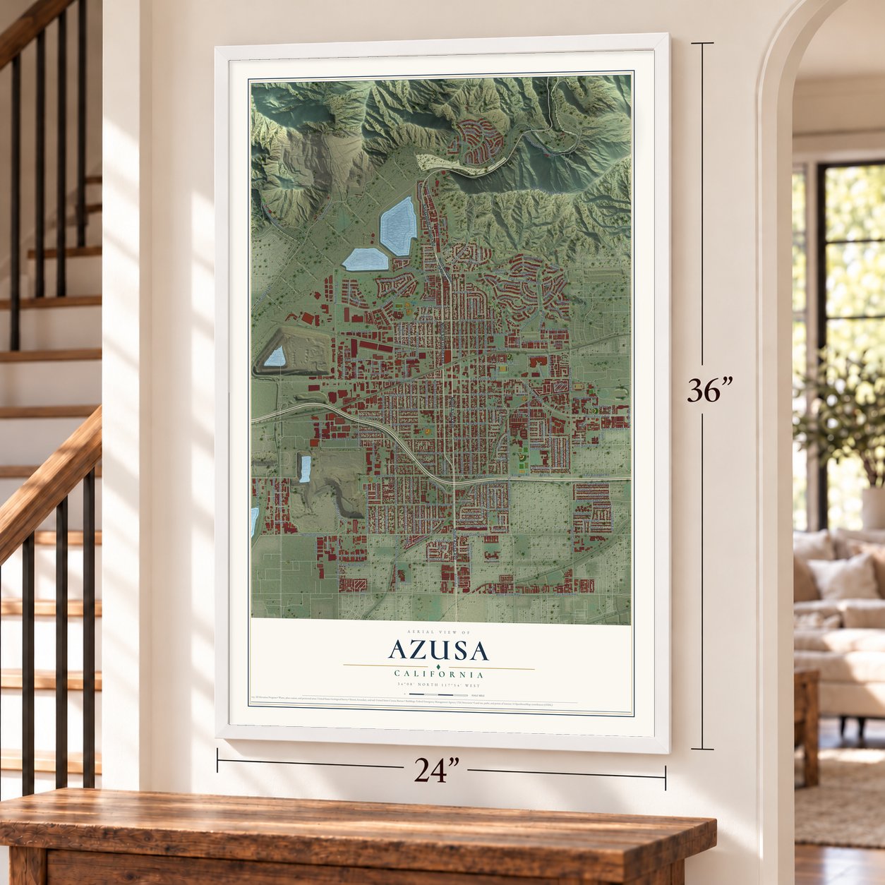
Azusa, California Map Art
Building by building, with labeled streets and shaded relief.
12" x 18" Archival Matte Print
A Map of Home. A Work of Art.
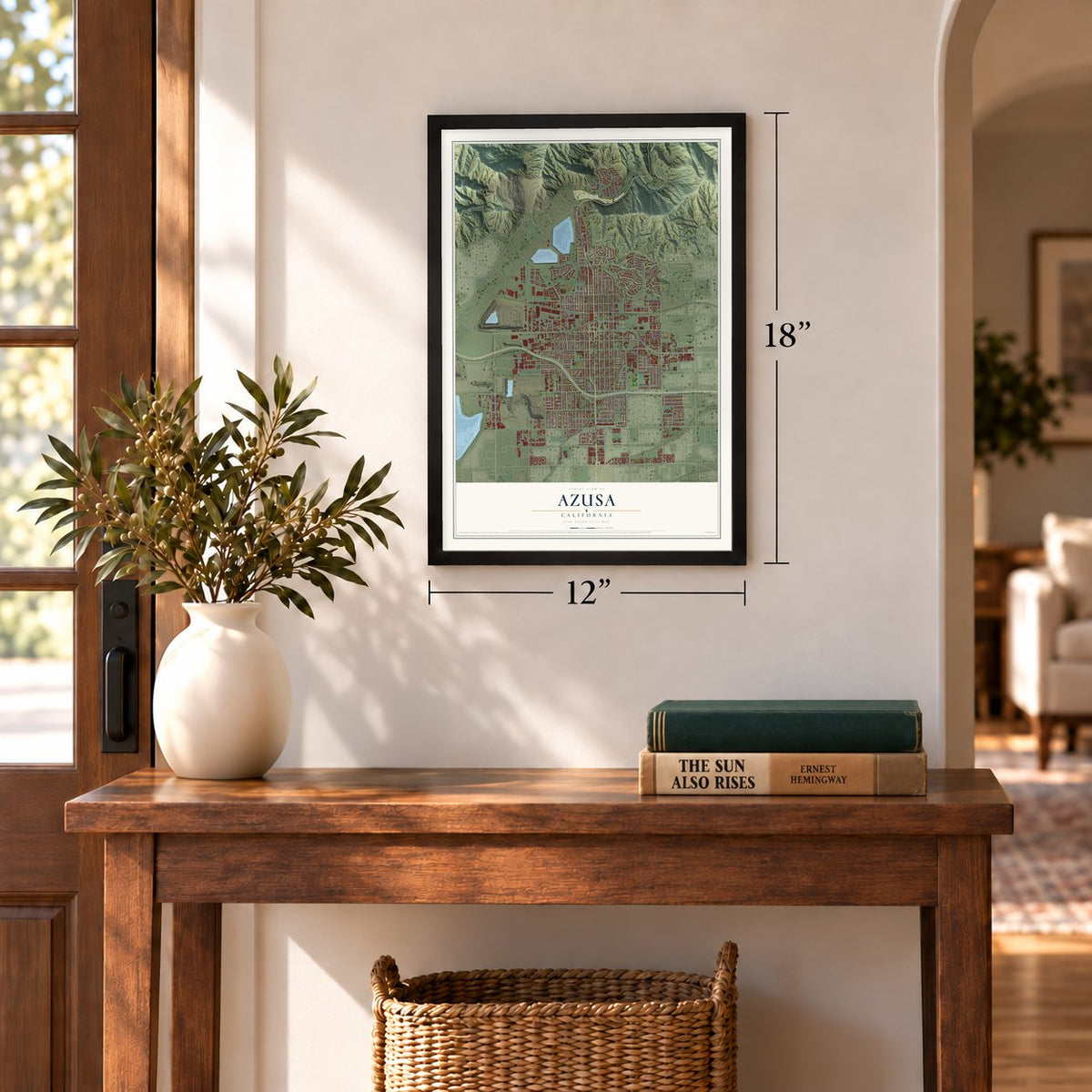
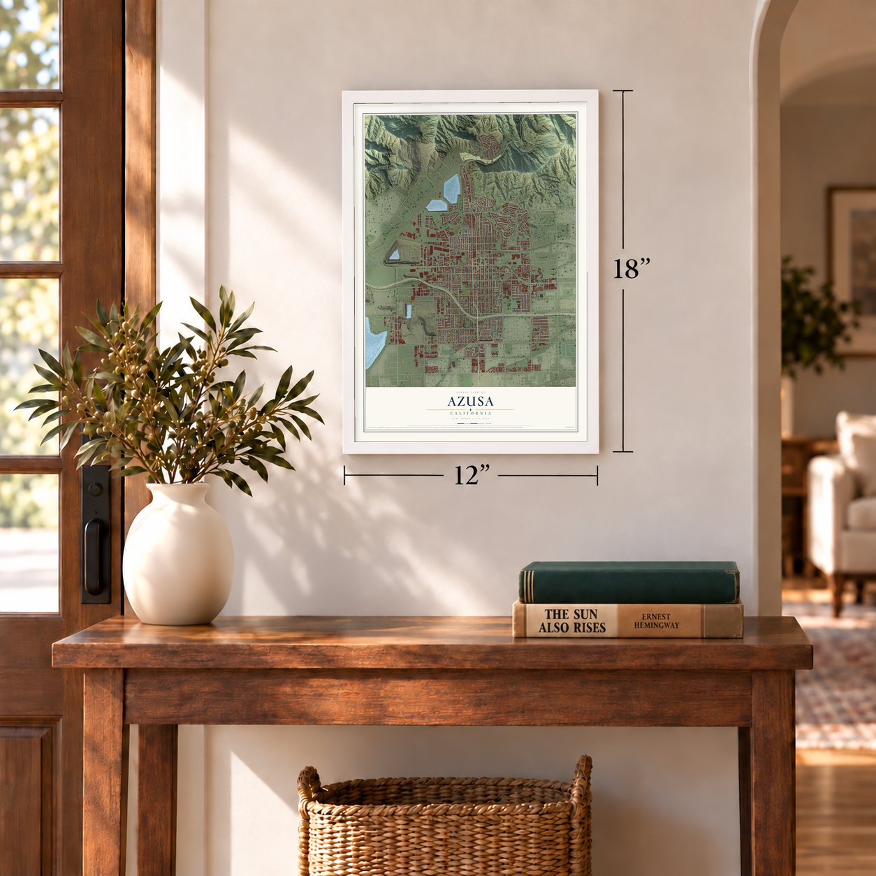
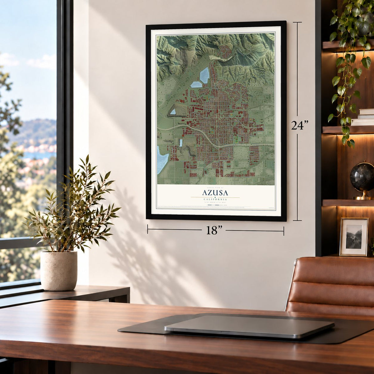
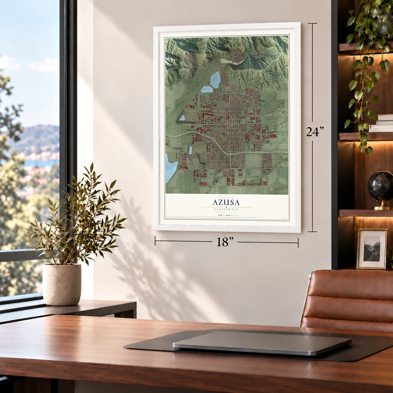
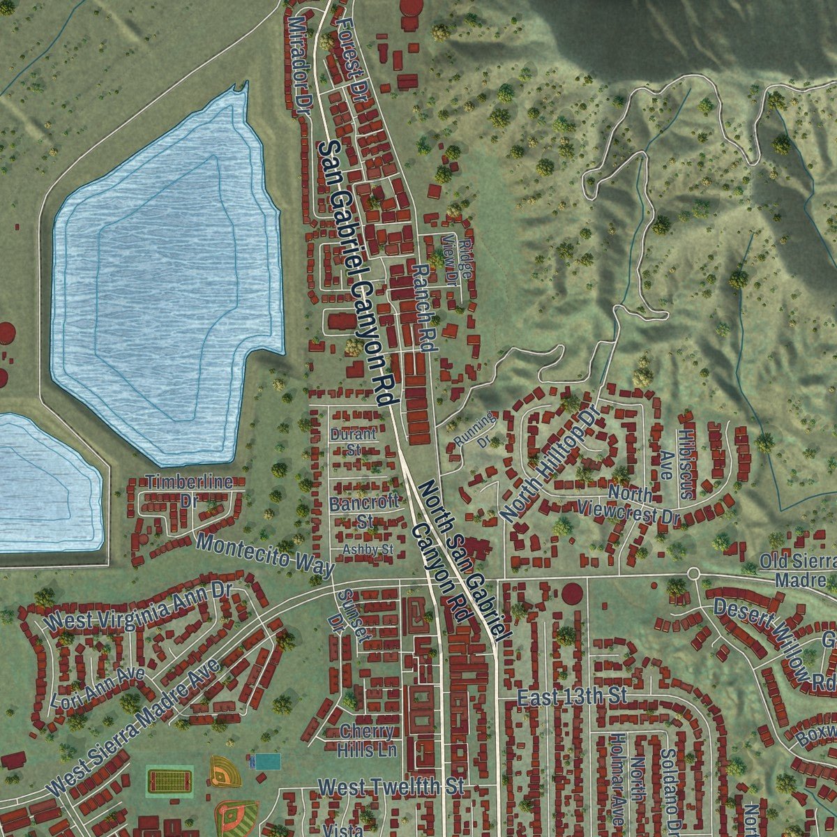
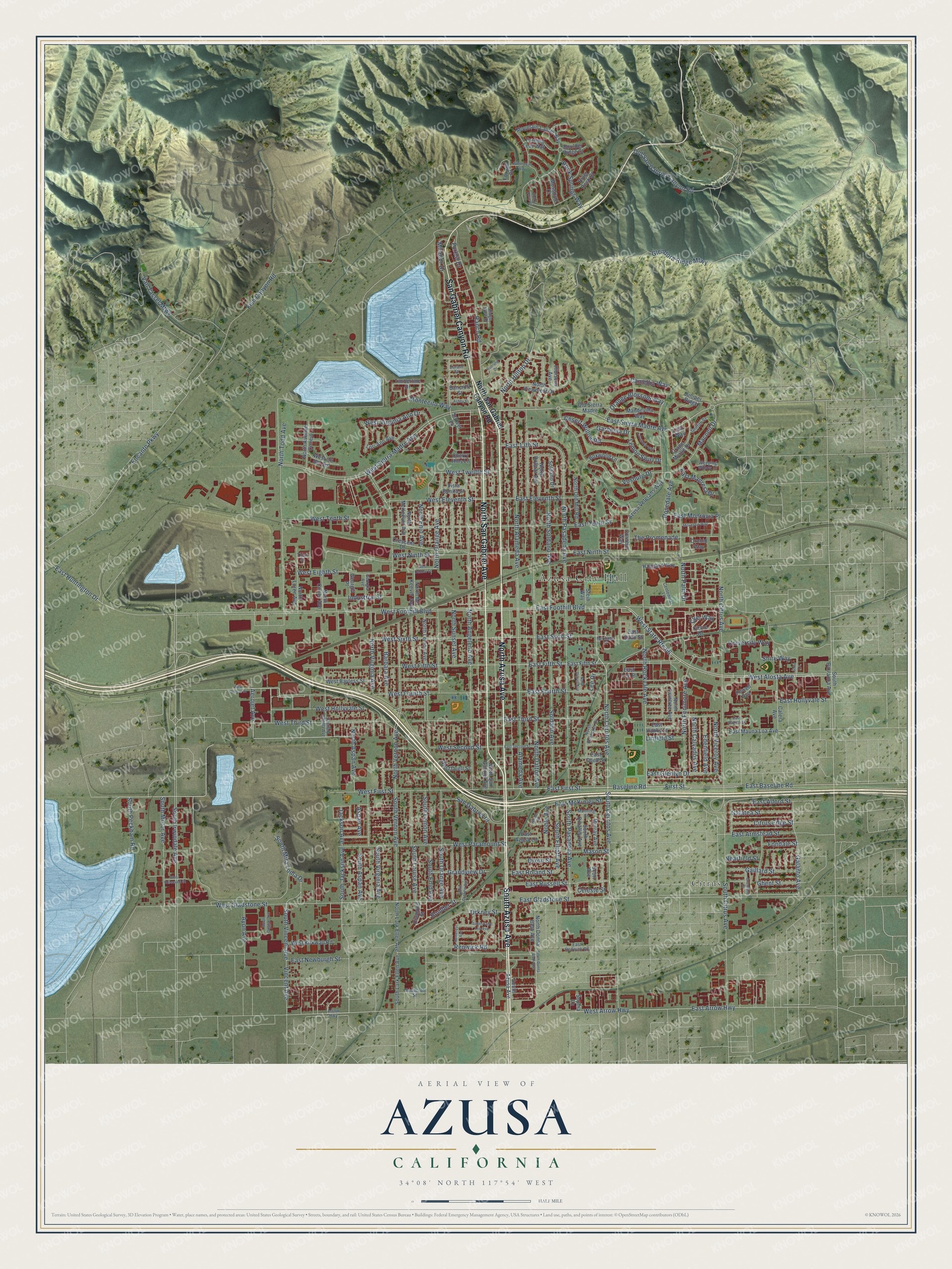
Explore Azusa, California from a whole new perspective. Created using aerial imagery and detailed geographic data, this map captures Azusa building by building, with labeled streets, familiar landmarks, and shaded topographical relief that highlights the natural contours of the landscape.
Combining modern data with the timeless character of a vintage atlas, this map is just as interesting up close as it is beautiful on the wall. Whether you grew up in Azusa, spent memorable years there, or call it home today, this unique map is a great way to celebrate a place that means something to you. Zoom in on the preview to look for your street, and then order a print to put your memories on the wall.
Three ways to hang it
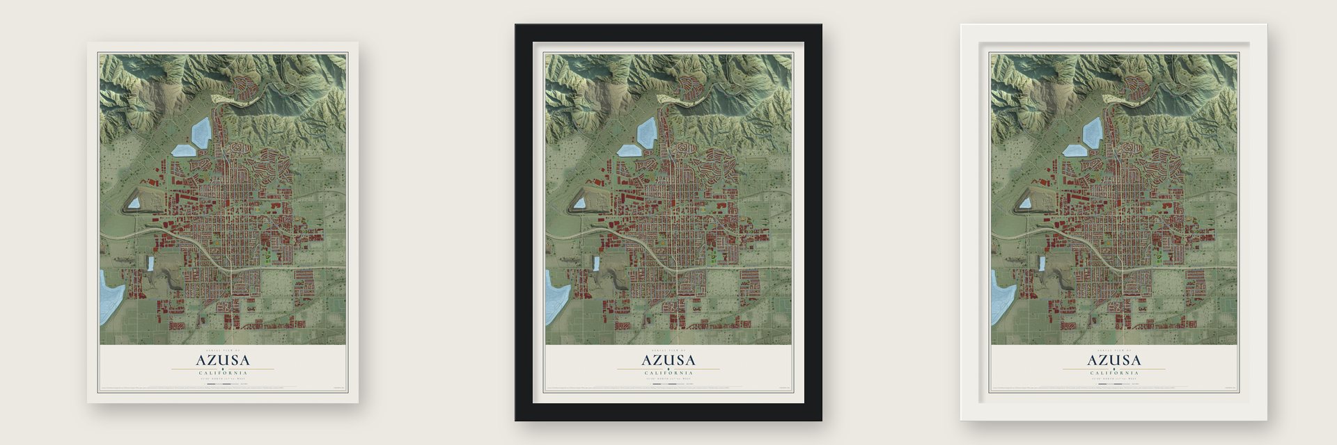
Unframed archival matte, a black wood frame or a white wood frame.
Up close
Geography Worth Displaying
This map was created using accurate cartographic data and authoritative geographic sources, including the U.S. Geological Survey and the Census Bureau. The map brings together terrain, waterways, roads, and building detail. The majority of the streets are labeled, houses are accurately depicted, and the topography is derived from government sources. Combining local data with carefully composed color and shading leads to this beautifully detailed Azusa artwork for your wall.
Rather than simply showing street outlines, we’ve included as many of the street names as we could reasonably fit on the map while keeping their names legible. Zoom in on the high resolution preview to see exactly what’s on the map. We truly set out to create a statement piece for anyone who loves Azusa. So whether it’s for you, or a gift for someone you love, we hope this map of Azusa brings back fond memories.
Read the story behind this map of Azusa, California from 2026.

Find your street
Names on the Azusa map
Every name below is printed on this map. Look for your street, your school, the park where you played, or the pond down the road.
Places and landmarks2
- Azusa City Hall
- Citrus
Streets and roads231
- South Azusa Avenue
- North Azusa Avenue
- North San Gabriel Avenue
- San Gabriel Canyon Road
- North Cerritos Avenue
- East First Street
- South Cerritos Avenue
- Baseline Road
- Aerojet Avenue
- West Arrow Highway
- East Sierra Madre Avenue
- East Arrow Highway
- North Rockvale Avenue
- First Street
- East Baseline Road
- Galanto Avenue
- North Hilltop Drive
- South Jackson Avenue
- Encanto Parkway
- Boulder Street
- East Gladstone Street
- East Fifth Street
- East Eleventh Street
- South Vincent Avenue
- East Roland Street
- Club Way
- West Foothill Boulevard
- West Sierra Madre Avenue
- West Alosta Avenue
- West State Route 66
Show all 231 streets
- North Dalton Avenue
- West Gladstone Street
- Van Tassel Mtwy
- North Alameda Avenue
- North Vernon Avenue
- East Foothill Boulevard
- North Pasadena Avenue
- North Angeleno Avenue
- North Orange Avenue
- West First Street
- West Third Street
- North Citrus Avenue
- Fish Canyon Road
- South Irwindale Avenue
- North Sunset Avenue
- West Tenth Street
- South Citrus Avenue
- West Paramount Street
- West Fifth Street
- North Soldano Avenue
- North Todd Avenue
- West Fourth Street
- East Ninth Street
- Ranch Road
- Vosburg Drive
- Glendora Ridge Mtwy
- West Sixth Street
- North Fenimore Avenue
- East Tenth Street
- North Virginia Avenue
- West Eleventh Street
- West Hollyvale Street
- South Orange Avenue
- North Palm Drive
- South Louise Avenue
- South Virginia Avenue
- South Vernon Avenue
- South Motor Avenue
- West Ninth Street
- East Alford Street
- Old San Gabriel Canyon Road
- East Sixth Street
- West Second Street
- East Hollyvale Street
- East Russell Street
- West Twelfth Street
- Barbara Avenue
- South Pasadena Avenue
- Soldano Avenue
- West Eighth Street
- Desert Willow Road
- Mason Street
- Macneil Drive
- The Promenade
- North Enid Avenue
- East Fourth Street
- East Newburgh Street
- Rosedale Avenue
- Mirador Drive
- East Third Street
- South Mira Loma Drive
- West Virginia Ann Drive
- Orange Blossom Way
- East Armstead Street
- Industrial Street
- North Aspan Avenue
- South Elliott Avenue
- Gaillard Street
- East Glenlyn Drive
- East Huntington Drive
- San Gabriel Place
- East 13th Street
- Galatea Street
- Citrus Edge Street
- Rock Springs Way
- North Viceroy Avenue
- East McKinley Street
- Grandview Drive
- Lemon Swirl Drive
- Edenfield Avenue
- North Calvados Avenue
- Montecito Way
- Ghent Street
- South Enid Avenue
- East Monrovia Place
- Gardenia Drive
- South Aspan Avenue
- South Peckham Road
- South Lemon Avenue
- Vincent Avenue
- Ayon Avenue
- East Manresa Drive
- University Way
- Camellia Way
- Noble Avenue
- Renwick Road
- Alameda Avenue
- Jackson Avenue
- Shire Way
- Dixon Street
- Orkney Street
- Linfield Street
- Celeste Street
- Nearfield Street
- Fondale Street
- Aspan Avenue
- Lee Drive
- Forest Drive
- North San Gabriel Canyon Road
- South Barranca Avenue
- North Mc Keever Avenue
- Haggard Way
- East Mauna Loa Avenue
- North Twintree Avenue
- Circle Drive
- Mountain Laurel Way
- Azusa Veterans Way
- Boxwood Lane
- West Bayless Street
- North Donna Beth Avenue
- West Duell Street
- Crescent Drive
- North Viewcrest Drive
- North Loren Avenue
- West Kirkwall Road
- North Lark Ellen Avenue
- South Lark Ellen Avenue
- East Duell Street
- Mandevilla Way
- North Lemon Avenue
- North Avenue Conejo
- North Old Mill Road
- North McKeever Avenue
- East Hanks Street
- Crape Myrtle Drive
- Soldano Drive
- North Holmar Avenue
- Lori Ann Avenue
- North Coney Avenue
- Turning Leaf Way
- South Omalley Avenue
- Diamond Street
- West Cll del Sol
- Murray Avenue
- Cornejo Way
- Old Sierra Madre
- Powell Avenue
- Timberline Drive
- East Azusa Lane
- Juniper Ridge
- Calera Avenue
- River Rock Court
- Stein Way
- Mossdale Court
- Cherry Hills Lane
- Georgia Place
- Foxtail Court
- Boulder Ridge Court
- Hibiscus Avenue
- East Lee Place
- Orchid Way
- Bancroft Street
- Vista Bonita Street
- Sunset Drive
- Scott Avenue
- Sophia Lane
- Lilac Way
- Arrow Highway
- North Rodecker Drive
- Zachary Padilla Avenue
- Heritage Court
- Ridge View Drive
- Georgia Avenue
- Griffith Street
- Woodcroft Street
- Manning Street
- East Renwick Road
- Centennial Lane
- Weeping Willow Drive
- Durant Street
- Third Street
- Homerest Avenue
- West Optical Drive
- South Sally Lee Avenue
- Lavender Way
- East Haltern Street
- East Second Street
- South Grandin Avenue
- West Roosevelt Street
- Mountain Way
- Wildflower Way
- Noble Place
- South Duggan Avenue
- North Durrell Avenue
- Running Drive
- Grantland Drive
- South Donna Beth Avenue
- Shady Cove Court
- Ashby Street
- West Danlee Street
- Shire Lane
Names are listed as they appear on the printed map. Zoom into the product photos to find them.
About Azusa, California
Azusa is a city of 50,000 people in Los Angeles County, at the mouth of San Gabriel Canyon, with the San Gabriel River running along its west side. Its name most likely comes from the Tongva place name Asuksa-nga, which means skunk place. In 1841 Governor Juan Bautista Alvarado granted Rancho el Susa here to Luis Arenas. Three years later Arenas sold it for $7,000 to Henry Dalton, an English-born merchant from Los Angeles.
Dalton renamed the land Rancho Azusa de Dalton and planted a vineyard. He built a winery, a distillery, a smokehouse and a flour mill, along with his own house on Dalton Hill. To pay for 24 years of court fights over his grants, he borrowed from the Los Angeles banker Jonathan S. Slauson, and in 1880 he had to hand the land to him. The railroad was finished in January 1887, and Slauson laid out the town that same year. Azusa was incorporated in 1898.
- A school of logs and brushAccording to the City of Azusa, the town's first school was built of logs and brush. It was the first public school in the Upper San Gabriel Valley, which was then known as Azusa Valley.
- Gladstone joined in 1905The 1887 railroad brought a land boom, as newcomers came looking for homes and investments. One product of the boom was the town of Gladstone, which did not last long and became part of Azusa in 1905. Pacific Electric trains served the city from 1907 to 1951.
- From A to ZLocal boosters, the Chamber of Commerce among them, have long said the name stands for all things A to Z, here in the U.S.A., though it really comes from the Tongva word for skunk. In the 1941 film Hold Back the Dawn, Olivia de Havilland plays a schoolteacher from Azusa who repeats that line.
- The first Go Kart factoryBy 1958 Azusa was home to the world's first Go Kart factory. Its karts sold very well, but the company went bankrupt in 1963.
Keep exploring California
Azusa is one of 1,960 California towns we've mapped. Every dot on the map is a print of its own.
The search covers every state, California first.
Near Azusa
Order 2 or more town maps and save 10%. Shown in the size and finish you picked above, so they hang as a set.
- Citrus 12" x 18" / Archival Matte Print $39.99
- Duarte 12" x 18" / Archival Matte Print $39.99
- Vincent 12" x 18" / Archival Matte Print $39.99
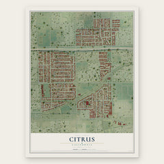

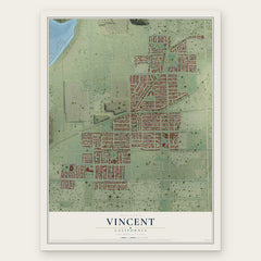
More maps nearby: Bradbury, Irwindale, Glendora, Covina and Charter Oak.
The art of mapping a place
How This Map Was Made
Real places. Remarkable detail. Discover the layers that turn geographic data into a map of home.

The view from above
Aerial imagery reveals the character of the land: woodland, open fields, and the patterns of a place.

The shape of the land
Elevation data brings hills, valleys, and subtle changes in the landscape into view.

The details of home
Roads, waterways, and building footprints come together to make the map feel unmistakably local.

Geography becomes art
Considered color, shading, and typography bring the layers together in a map made for your wall.


Process illustrated with Mendon, Massachusetts. Aerial imagery: USDA NAIP. Terrain: USGS 3D Elevation Program. Map details and finished artwork: KNOWOL.
The Details
About This Print
Choose an archival matte print, or a black or white Ayous wood frame. The archival matte print is unframed.
Select your size and finish above to see the matching product image and price.
Materials & Craftsmanship
A contemporary map with the character of a classic atlas, printed on archival matte paper. Optional frames are made from Ayous wood.
Your printed map does not include the watermark shown in the full-map preview.
Shipping & Delivery
Free shipping within the United States. Every print is made to order in the USA.
Buying a gift? Add a note in your cart and we'll include it. We never put prices in the package.
Prints ship within 2 to 3 business days. Allow 7 to 10 days total from ordering for delivery. Timing may vary during holidays or periods of high order volume.
Read our shipping policy.
Returns and damaged prints
Each print is made to order. Change-of-mind refunds are not available after production.
If your print arrives damaged, misprinted or incorrect, contact support@knowol.com within 30 days of receiving it. Include your order number, photos and a description of the issue.
Read our full refund and replacement policy. For questions about your order, email support@knowol.com.