
Search for another town



Free U.S. delivery 7 to 10 days after you order
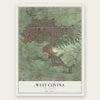
West Covina, California Map Art
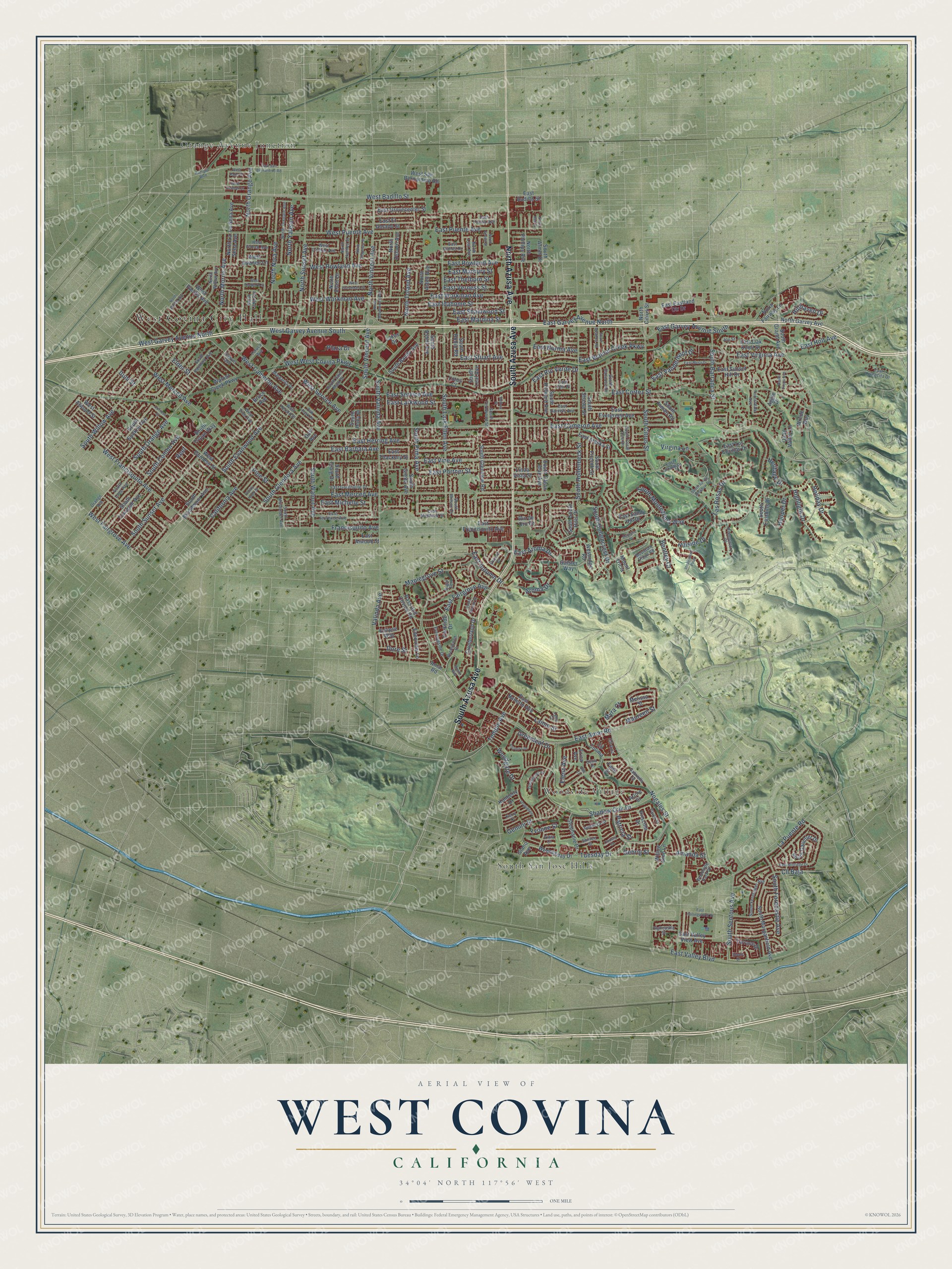
A new map of West Covina, California, made in 2026 and printed to order on thick archival matte paper.
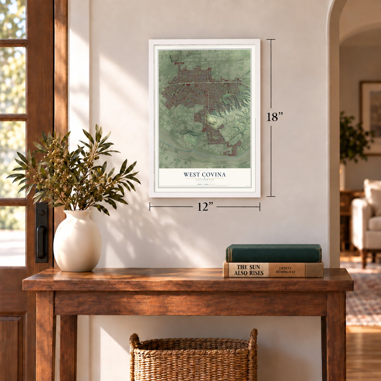
12" x 18" Archival Matte Print
A Map of Home. A Work of Art.
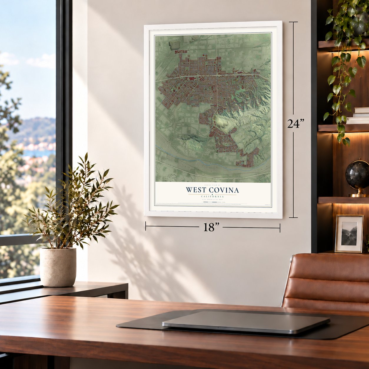
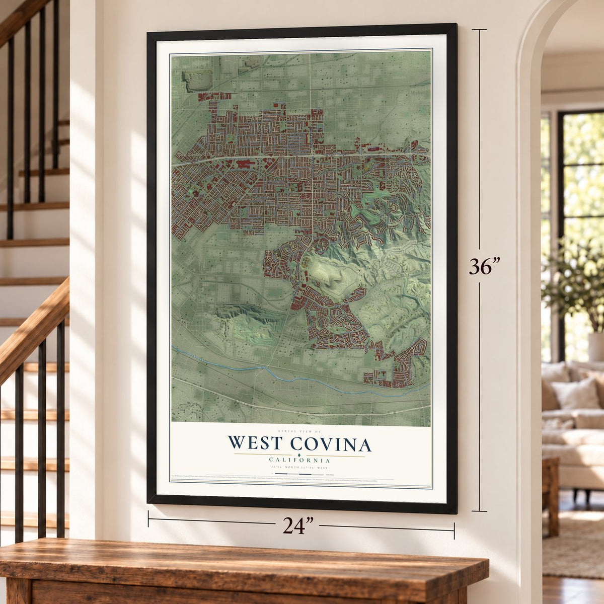
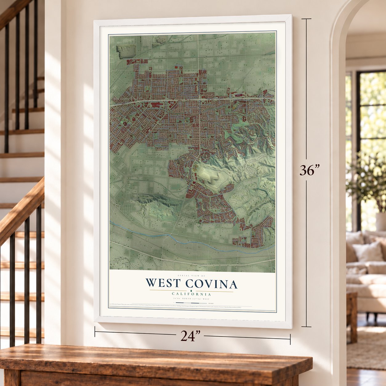
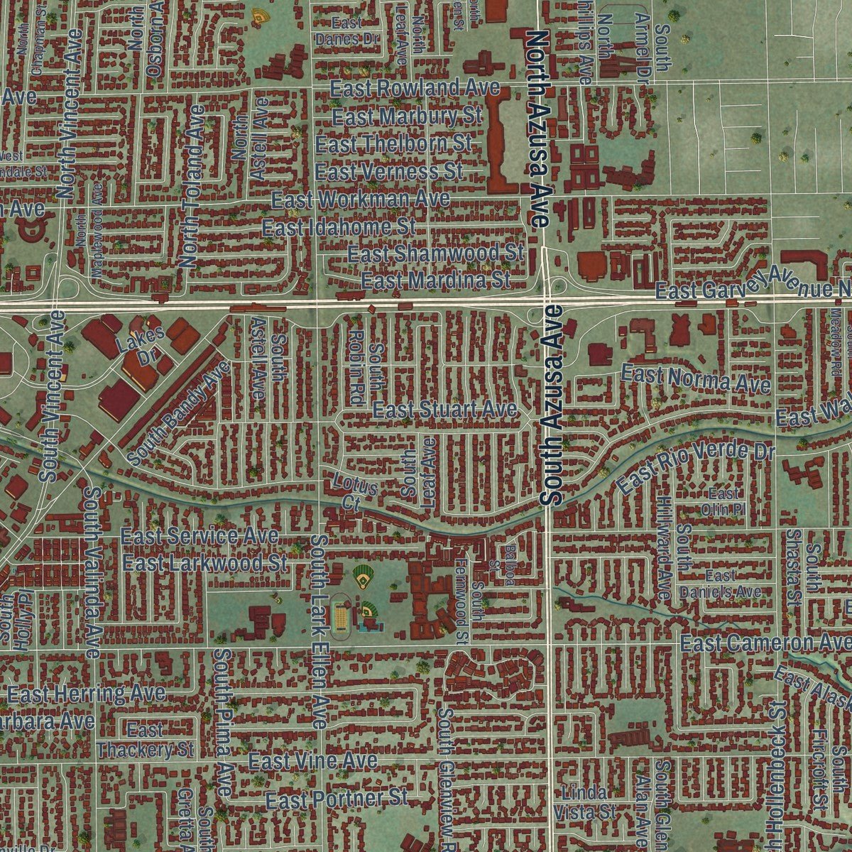
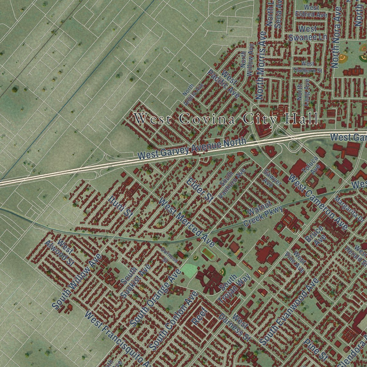
Explore West Covina, California from a whole new perspective. Created using aerial imagery and detailed geographic data, this map captures West Covina building by building, with labeled streets, familiar landmarks, and shaded topographical relief that highlights the natural contours of the landscape.
Combining modern data with the timeless character of a vintage atlas, this map is just as interesting up close as it is beautiful on the wall. Whether you grew up in West Covina, spent memorable years there, or call it home today, this unique map is a great way to celebrate a place that means something to you. Zoom in on the preview to look for your street, and then order a print to put your memories on the wall.
Three ways to hang it
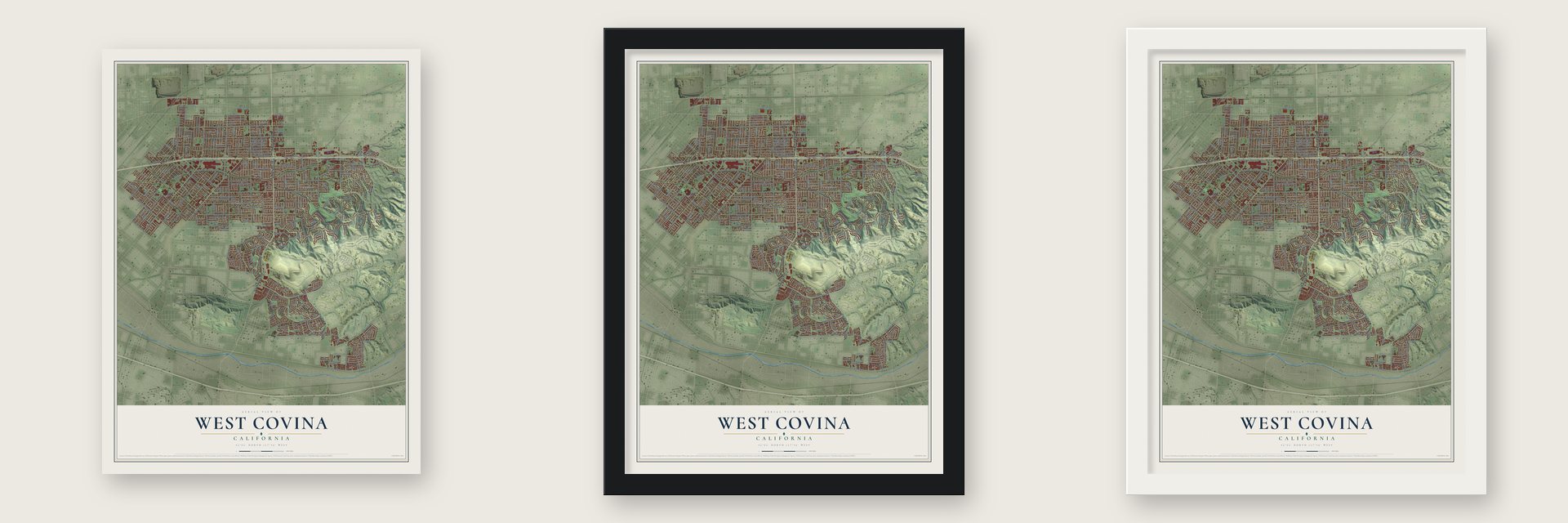
Unframed archival matte, a black wood frame or a white wood frame.
Up close
Geography Worth Displaying
This map was created using accurate cartographic data and authoritative geographic sources, including the U.S. Geological Survey and the Census Bureau. The map brings together terrain, waterways, roads, and building detail. The majority of the streets are labeled, houses are accurately depicted, and the topography is derived from government sources. Combining local data with carefully composed color and shading leads to this beautifully detailed West Covina artwork for your wall.
Rather than simply showing street outlines, we’ve included as many of the street names as we could reasonably fit on the map while keeping their names legible. Zoom in on the high resolution preview to see exactly what’s on the map. We truly set out to create a statement piece for anyone who loves West Covina. So whether it’s for you, or a gift for someone you love, we hope this map of West Covina brings back fond memories.
Read the story behind this map of West Covina, California from 2026.
About West Covina, California
West Covina is a city of 109,501 people in Los Angeles County, in the central San Gabriel Valley. The Tongva were the first people to live in this valley, and in 1845 John Rowland and William Workman bought a large share of this ground from Governor Pío Pico. The first permanent settlers came in 1905. Among them were William Payne, Bob Dancer and settlers named Bender, Robinson and Larsen, who cleared away the sagebrush and cactus and planted the area's first walnut trees.
In 1923 the neighboring city of Covina wanted to put a sewage farm here, so residents made West Covina a city of its own to stop it. Benjamin Franklin Maxson Jr. started that effort and served as the first mayor. The new city had 769 people in 1930 and 1,549 in 1940. After World War II a building boom made it one of the fastest-growing cities in the nation, as it grew from fewer than 5,000 people in 1950 to more than 50,000 in 1960.
“Many of West Covina's diagonal roads date from the time when horse and buggys took a straight line from the cities of Glendora and Covina to La Puente and the railroad.”
- A sports park on a landfillThe West Covina Sportsplex opened in 2007 on ground that was once a landfill. The 315-acre center holds a sports park, a public golf course and shops.
- The world's most shoehornsThe Shoehorn Museum in West Covina keeps the largest collection of shoehorns anywhere in the world.
- Hometown of Tim RobbinsTim Robbins, the actor and director whose films include The Shawshank Redemption, Bull Durham and Mystic River, is a West Covina native. Baseball slugger Jason Giambi was also born here and went to South Hills High School, and rock star Joan Jett moved here with her family at 15.
- Good Burger in 1997Most of the Nickelodeon film Good Burger was shot in West Covina in 1997. The city and the San Gabriel Valley were later the setting for the TV series Crazy Ex-Girlfriend.
Find your street
Names on the West Covina map
Every name below is printed on this map. Look for your street, your school, the park where you played, or the pond down the road.
Places and landmarks4
- West Covina City Hall
- Orange Avenue Junction
- South San Jose Hills
- Woodside Village
Streets and roads273
- South Azusa Avenue
- North Azusa Avenue
- West Badillo Street
- South Orange Avenue
- East Cameron Avenue
- East Workman Avenue
- East Larkwood Street
- West Workman Avenue
- West Fairgrove Avenue
- South Sunset Avenue
- East Amar Road
- East Garvey Avenue South
- East Vine Avenue
- East Merced Avenue
- East Cortez Street
- Hillside Drive
- South Lark Ellen Avenue
- East Rowland Avenue
- East Garvey Avenue North
- Nogales Street
- South Glendora Avenue
- East Walnut Creek Parkway
- South Citrus Street
- West Garvey Avenue North
- East Michelle Street
- South Montezuma Way
- West Garvey Avenue South
- North Sunset Avenue
- California Avenue
- Woodgate Drive
Show all 273 streets
- West Merced Avenue
- North Orange Avenue
- South Hollenbeck Street
- West Cameron Avenue
- Shadow Oak Drive
- East Puente Avenue
- East Mardina Street
- East Idahome Street
- West Francisquito Avenue
- West Puente Avenue
- West West Covina Parkway
- East Herring Avenue
- East Shamwood Street
- La Puente Road
- East Virginia Avenue
- East Valley Boulevard
- South Sentous Avenue
- South Evanwood Avenue
- East Portner Street
- South Willow Avenue
- North Vincent Avenue
- South Valinda Avenue
- Francisquito Avenue
- East Rio Verde Drive
- Plaza Drive
- East Stuart Avenue
- Valinda Avenue
- East Holt Avenue
- East Norma Avenue
- South Conlon Avenue
- North Nora Avenue
- South Pima Avenue
- South Barranca Street
- West Rowland Avenue
- North Yaleton Avenue
- Maplegrove Street
- Greenleaf Drive
- North Morris Avenue
- East Thelborn Street
- North Toland Avenue
- East Service Avenue
- East Marbury Street
- Las Rosas Drive
- South Hollencrest Drive
- South Forecastle Avenue
- West Service Avenue
- East Verness Street
- East Barbara Avenue
- South Vincent Avenue
- East Aroma Drive
- East Vanderhoof Drive
- Gemini Street
- East Fairgrove Avenue
- South Walnut Avenue
- Tuesday Drive
- Highlight Drive
- Hooper Drive
- Virgina Lane
- Holiday Drive
- East Autumn Drive
- Heritage Drive
- Patricia Street
- Dore Street
- Hillhaven Drive
- Amanda Street
- Aroma Drive
- Elena Avenue
- Temple Avenue
- Cll Baja
- Yvonne Street
- Maureen Street
- Ituni Street
- Bentley Court
- Lainie Street
- Myra Court
- Gehrig Street
- Pine Street
- Elder Street
- Reef
- South Grand Avenue
- Cll Colima
- East Grovecenter Street
- North Astell Avenue
- Terrace Drive
- Eclipse Way
- East Thackery Street
- South Hillward Avenue
- South Broadmoor Avenue
- West San Bernardino Road
- East Sunset Hill Drive
- South Sunkist Avenue
- East Eastland Ctr Drive
- South Easthills Drive
- East Alaska Street
- West Durness Street
- South Glenn Alan Avenue
- South Fircroft Street
- South Holly Place
- South Morganfield Avenue
- South Tonopah Avenue
- South Gretta Avenue
- South Shasta Street
- South Leaf Avenue
- East Valley View Avenue
- West Pacific Avenue
- North Ellen Drive
- South Craig Drive
- South Glenview Road
- East Nanette Avenue
- North Phillips Avenue
- West Alwood Street
- East Evergreen Avenue
- North Osborn Avenue
- South Astell Avenue
- North Citrus Street
- East Sandy Hill Drive
- East Los Cerillos Drive
- West Swanee Lane
- South Gauntlet Drive
- North La Sena Avenue
- Walnut Creek Parkway
- East Badillo Street
- East Francisquito Avenue
- Lakes Drive
- South South Hills Drive
- Kimberly Drive
- Linda Vista Street
- South Robin Road
- North Garvey Avenue
- East Alwood Street
- Parkside Drive
- Amar Road
- Stephanie Drive
- Pass and Covina Road
- South Bandy Avenue
- Giano Avenue
- East El Dorado Street
- Wednesday Drive
- Cumberland Drive
- Westridge Road
- Edenview Lane
- South Armel Drive
- La Sena Avenue
- Arline Street
- Priscilla Drive
- Willow Glen Lane
- South Inman Road
- South Trojan Way
- Quail Valley Lane
- North Fairway Lane
- Galster Way
- East Oak Knoll Drive
- Melissa Street
- Duff Avenue
- Bruce Avenue
- Wrede Way
- Faith Street
- Rio de Oro Drive
- Lotus Court
- Mount Tricia
- Erica Avenue
- Aggie Drive
- East Greenville Drive
- North Hartley Street
- North Willow Avenue
- East Louisa Avenue
- South Saint Malo Street
- South Fernwood Street
- East Florence Avenue
- North Foxdale Avenue
- South Dancove Drive
- South Vanhorn Avenue
- East McWood Street
- West Vine Avenue
- South Lang Avenue
- North Lang Avenue
- East Larkhill Drive
- South Ferntower Avenue
- Eveningside Drive
- North Leaf Avenue
- West Herald Street
- South Wilson Drive
- South Mullender Avenue
- East Danes Drive
- West Carlton Avenue
- Mountain Ridge Road
- South Coral Tree Drive
- Promontory Place
- East Daniels Avenue
- West Eldred Avenue
- Woodside Park Drive
- Brentwood Drive
- East Lorencita Drive
- Margarita Drive
- Glenhurst Place
- Rebecca Street
- Forestdale Avenue
- Sawyer Avenue
- Highcastle Street
- Toluca Avenue
- East Olin Place
- Orange Avenue
- Shirlee Street
- Gabriella Street
- Paula Street
- Delia Place
- Joy Street
- Oak Park Place
- Cll Ruiz
- Gigar Terrace
- Kerry Court
- Oxford Court
- Viola Court
- Lynn Court
- Anson Way
- East Hollingworth Street
- South Spring Meadow Drive
- East Mesa Drive
- North Maplewood Avenue
- Sandy Hook Street
- West Thelborn Street
- North Ardilla Avenue
- South Meadow Road
- North Chapman Street
- Inspiration Point
- Lindsey Court
- South Nelson Street
- Jacqueline
- Durness Street
- Altamira Drive
- East Millridge Drive
- East San Bernardino Road
- West Greendale Street
- North Neil Street
- West Kenoak Drive
- North Eileen Street
- South Trona Avenue
- West Palm Drive
- Scenic Drive
- Majestic Street
- Ramona Boulevard
- Balboa Street
- Dee Lane
Names are listed as they appear on the printed map. Zoom into the product photos to find them.
The art of mapping a place
How This Map Was Made
Real places. Remarkable detail. Discover the layers that turn geographic data into a map of home.

The view from above
Aerial imagery reveals the character of the land: woodland, open fields, and the patterns of a place.

The shape of the land
Elevation data brings hills, valleys, and subtle changes in the landscape into view.

The details of home
Roads, waterways, and building footprints come together to make the map feel unmistakably local.

Geography becomes art
Considered color, shading, and typography bring the layers together in a map made for your wall.


Process illustrated with Mendon, Massachusetts. Aerial imagery: USDA NAIP. Terrain: USGS 3D Elevation Program. Map details and finished artwork: KNOWOL.
The Details
About This Print
Choose an archival matte print, or a black or white Ayous wood frame. The archival matte print is unframed.
Select your size and finish above to see the matching product image and price.
Materials & Craftsmanship
A contemporary map with the character of a classic atlas, printed on archival matte paper. Optional frames are made from Ayous wood.
Your printed map does not include the watermark shown in the full-map preview.
Shipping & Delivery
Free shipping within the United States. Every print is made to order in the USA.
Buying a gift? Add a note in your cart and we'll include it. We never put prices in the package.
Prints ship within 2 to 3 business days. Allow 7 to 10 days total from ordering for delivery. Timing may vary during holidays or periods of high order volume.
Read our shipping policy.
Returns and damaged prints
Each print is made to order. Change-of-mind refunds are not available after production.
If your print arrives damaged, misprinted or incorrect, contact support@knowol.com within 30 days of receiving it. Include your order number, photos and a description of the issue.
Read our full refund and replacement policy. For questions about your order, email support@knowol.com.
Find your town
Looking for another city?
Find a map of home in our California collection, or any town in the country.
Nearby
Maps of towns near West Covina
Know someone from one of these towns? Their map makes a great gift.
 Valinda
, California
From $39.99See the map
 Industry
, California
From $39.99See the map
 Covina
, California
From $39.99See the map
More maps nearby: La Puente, South San Jose Hills, Vincent, West Puente Valley and Walnut.