
Search for another town

Free U.S. delivery 7 to 10 days after you order
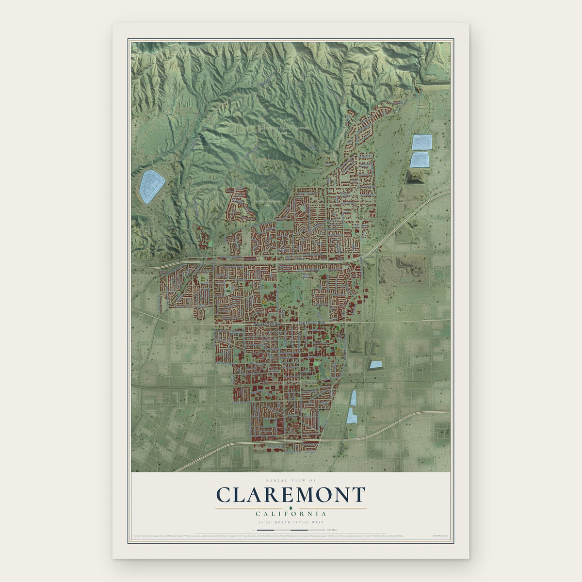
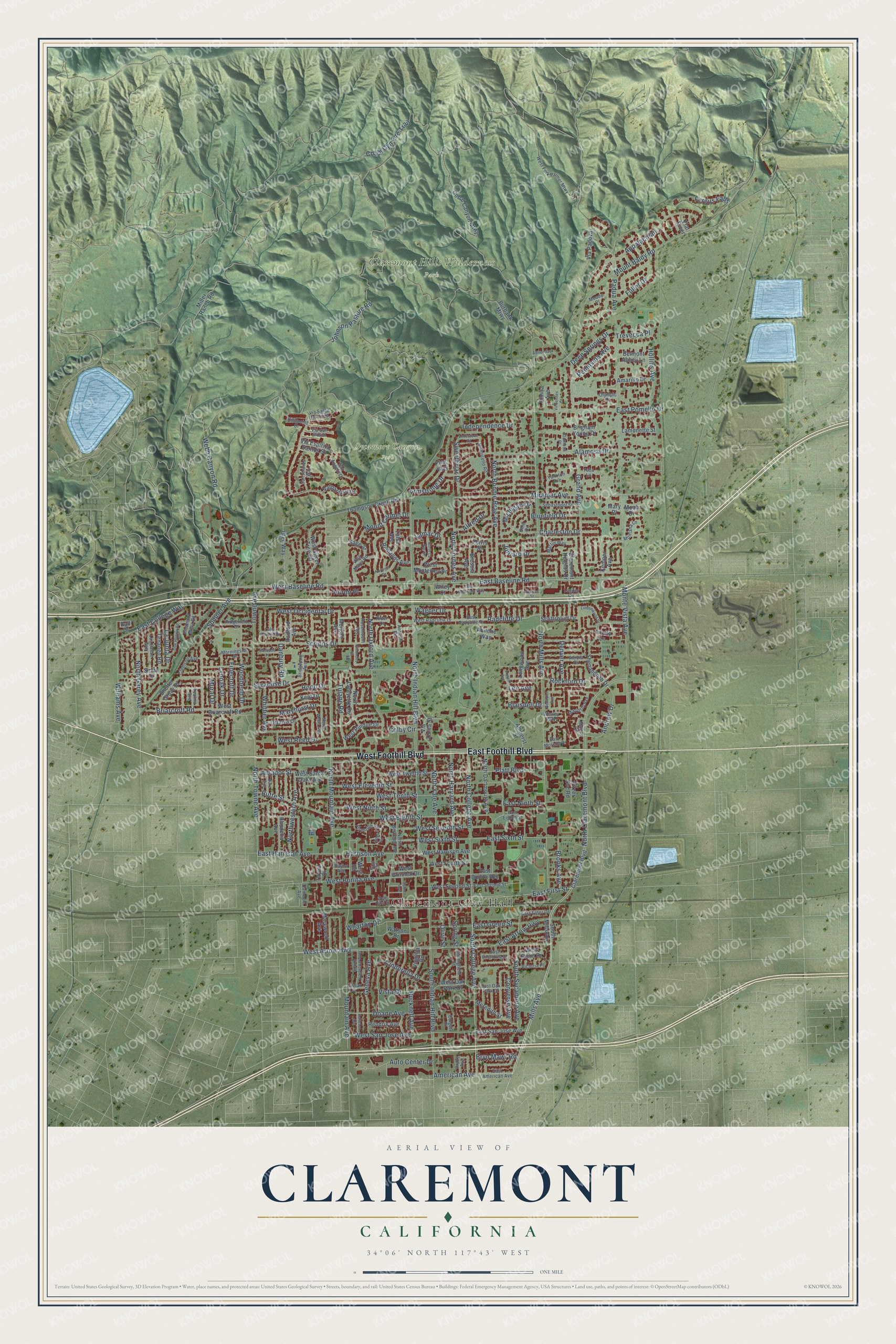
Claremont, California Map Art
Building by building, with labeled streets and shaded relief.
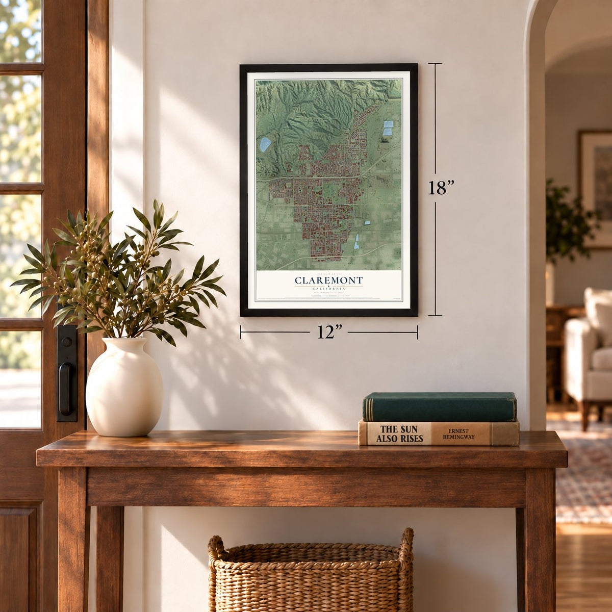
12" x 18" Archival Matte Print
A Map of Home. A Work of Art.
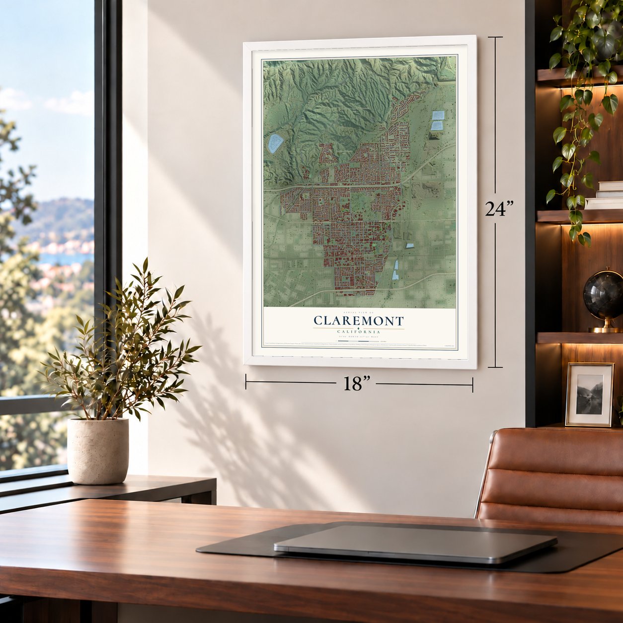
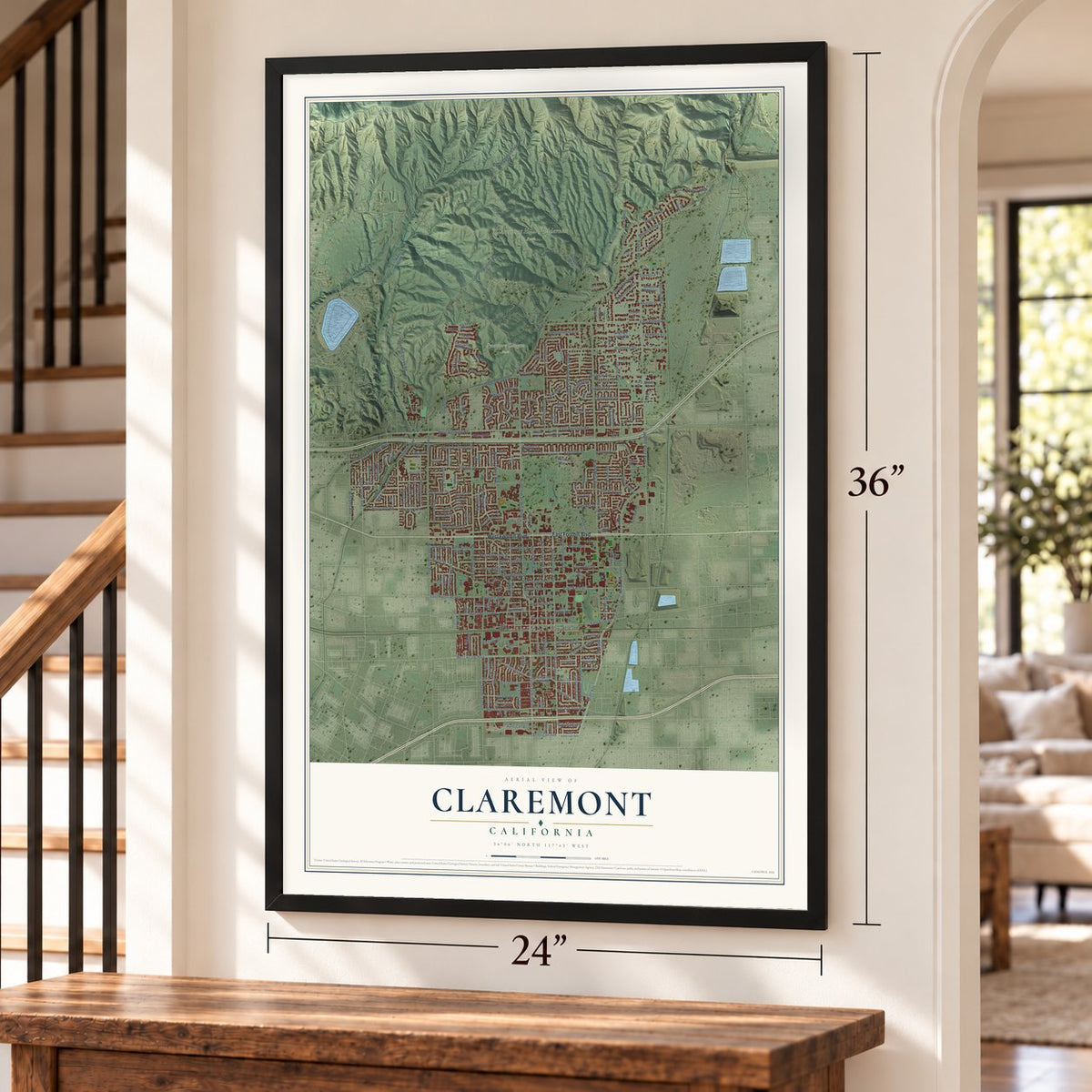
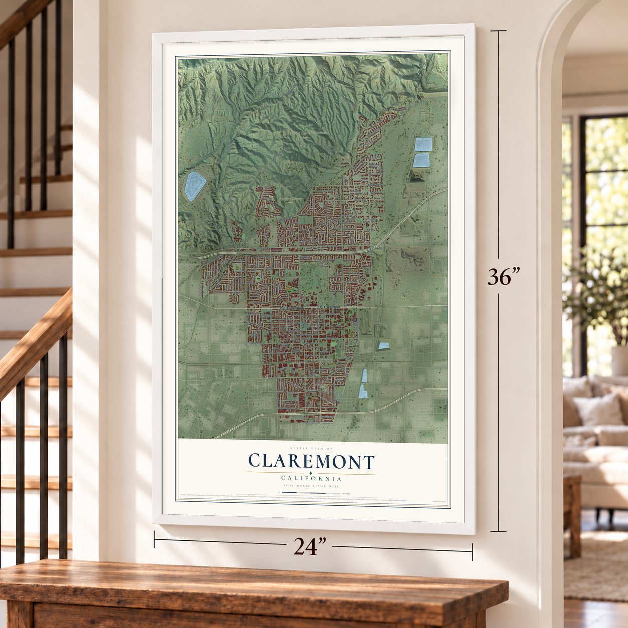
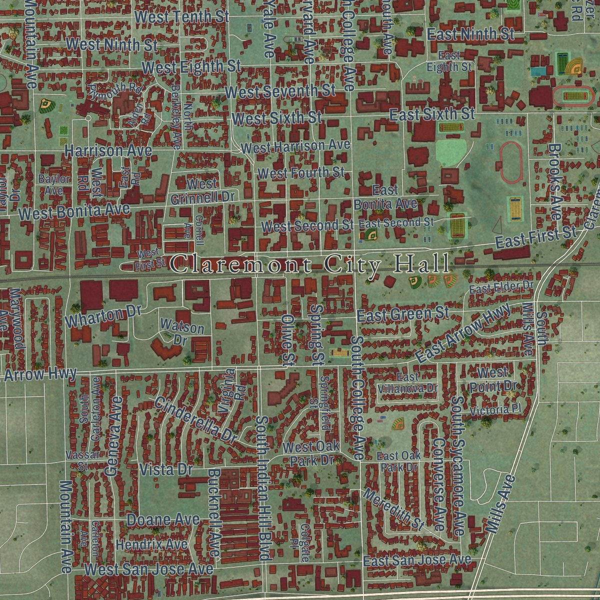
Explore Claremont, California from a whole new perspective. Created using aerial imagery and detailed geographic data, this map captures Claremont building by building, with labeled streets, familiar landmarks, and shaded topographical relief that highlights the natural contours of the landscape.
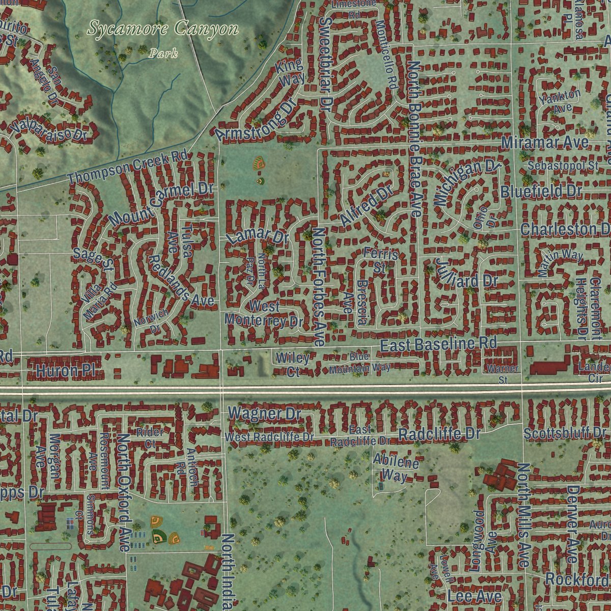
Combining modern data with the timeless character of a vintage atlas, this map is just as interesting up close as it is beautiful on the wall. Whether you grew up in Claremont, spent memorable years there, or call it home today, this unique map is a great way to celebrate a place that means something to you. Zoom in on the preview to look for your street, and then order a print to put your memories on the wall.
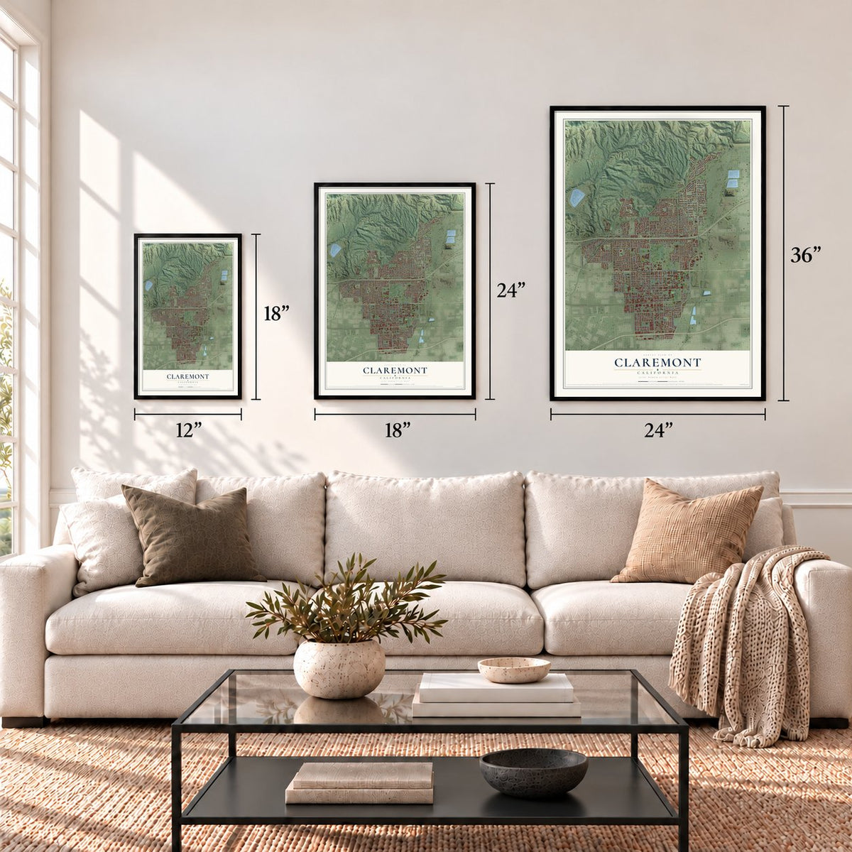
Three ways to hang it
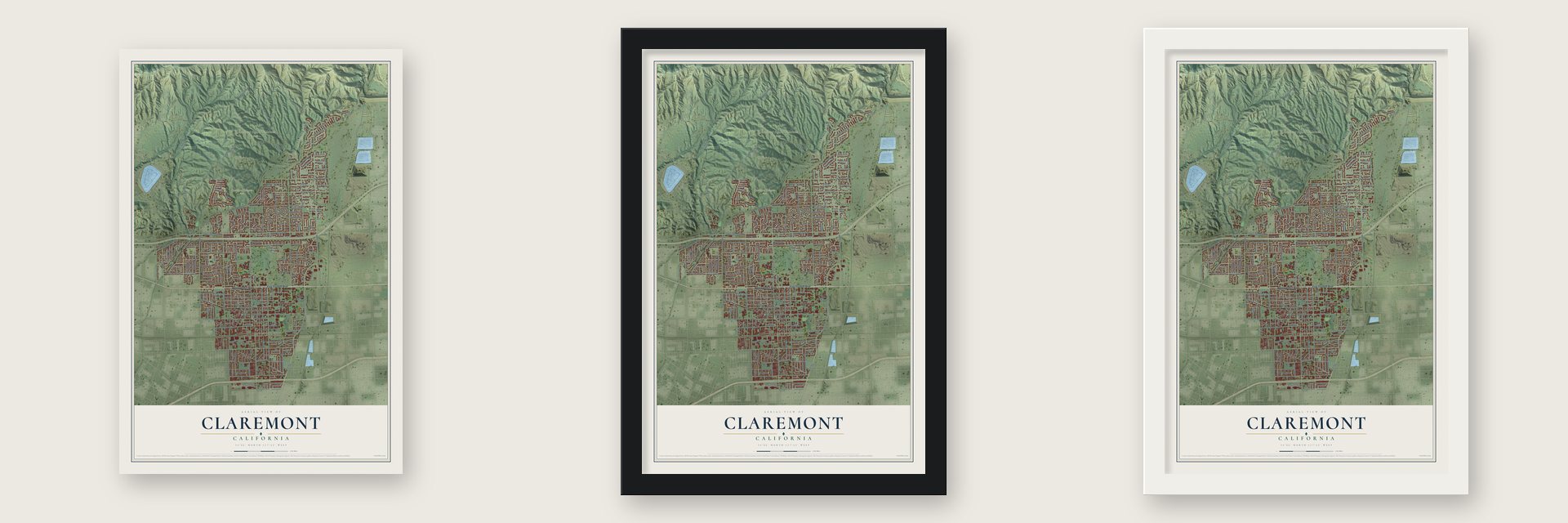
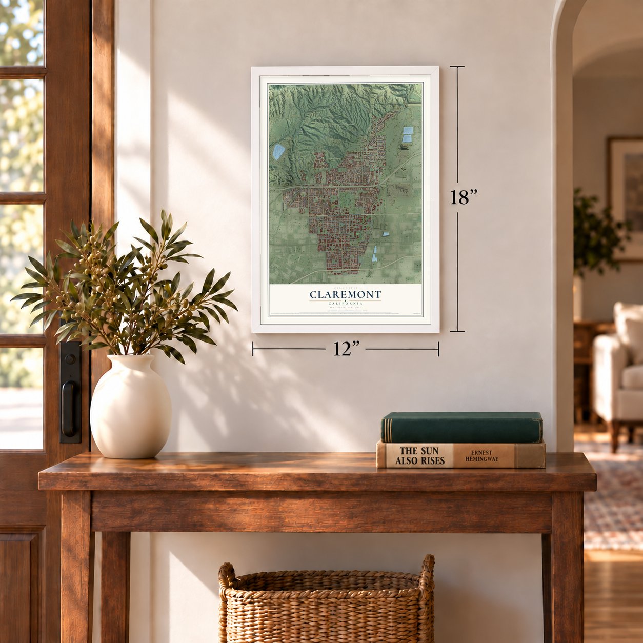
Unframed archival matte, a black wood frame or a white wood frame.
Up close
Geography Worth Displaying
This map was created using accurate cartographic data and authoritative geographic sources, including the U.S. Geological Survey and the Census Bureau. The map brings together terrain, waterways, roads, and building detail. The majority of the streets are labeled, houses are accurately depicted, and the topography is derived from government sources. Combining local data with carefully composed color and shading leads to this beautifully detailed Claremont artwork for your wall.
Rather than simply showing street outlines, we’ve included as many of the street names as we could reasonably fit on the map while keeping their names legible. Zoom in on the high resolution preview to see exactly what’s on the map. We truly set out to create a statement piece for anyone who loves Claremont. So whether it’s for you, or a gift for someone you love, we hope this map of Claremont brings back fond memories.
Read the story behind this map of Claremont, California from 2026.
Find your street
Names on the Claremont map
Every name below is printed on this map. Look for your street, your school, the park where you played, or the pond down the road.
Places and landmarks3
- Claremont City Hall
- Claremont Hills Wilderness Park
- Sycamore Canyon Park
Streets and roads248
- East Foothill Boulevard
- West Foothill Boulevard
- South College Avenue
- East First Street
- Mills Avenue
- North Garey Avenue
- American Avenue
- North Harvard Avenue
- East College Way
- West Arrow Highway
- Wharton Drive
- East Arrow Highway
- Andrew Drive
- Huron Place
- North Indian Hill Boulevard
- North Mills Avenue
- North Mountain Avenue
- West Baseline Road
- Mount Baldy Road
- Padua Avenue
- North Claremont Boulevard
- East Pomello Drive
- Cobal Cyn Fire Trail
- Webb Canyon Road
- Grand Avenue
- North Towne Avenue
- North College Avenue
- East Baseline Road
- Miramar Avenue
- North Oxford Avenue
Show all 248 streets
- Alamosa Drive
- South Indian Hill Boulevard
- Johnson Pasture Road
- West Bonita Avenue
- Sumner Avenue
- West Tenth Street
- Scripps Drive
- North Yale Avenue
- Appalachian
- West Eleventh Street
- West Eighth Street
- Monte Vista Avenue
- West Occidental Drive
- Williams Avenue
- West San Jose Avenue
- Radcliffe Drive
- North Bonnie Brae Avenue
- East Sixth Street
- Mountain Avenue
- Platt Boulevard
- Lynoak Drive
- Harrison Avenue
- West Seventh Street
- East Ninth Street
- Auto Center Drive
- Geneva Avenue
- South Sycamore Avenue
- North Forbes Avenue
- Woodbend Drive
- Charleston Drive
- Hollins Avenue
- Bucknell Avenue
- West Sixth Street
- Sweetbriar Drive
- Northwestern Avenue
- West Ninth Street
- Butte Street
- Rockford Drive
- Armstrong Drive
- Colby Circle
- Mural Drive
- Tulane Road
- La Junta Drive
- Fuller Drive
- Maryhurst Drive
- Mount Carmel Drive
- East Harrison Avenue
- Doane Avenue
- Blaisdell Drive
- Peninsula Avenue
- East Green Street
- Denver Avenue
- Converse Avenue
- Cinderella Drive
- West Reed Drive
- Vista Drive
- Brooks Avenue
- Briarcroft Road
- Independence Drive
- Deep Springs Drive
- Bluefield Drive
- Wagner Drive
- Finecroft Drive
- Whittier Avenue
- Michigan Drive
- Towne Avenue
- Syracuse Drive
- Bryn Mawr Road
- Olive Street
- Danbury Road
- Amador Street
- Hood Drive
- Trevecca Place
- Fergus Falls
- Alfred Drive
- Spring Street
- Julliard Drive
- Lamar Drive
- Lee Avenue
- Claremont Boulevard
- South Mills Avenue
- Via Zurita Street
- Watson Drive
- Brescia Avenue
- Ferris Street
- Burbank Mtwy
- Cobal Canyon Mtwy
- Thompson Creek Road
- West Twelfth Street
- Shenandoah Drive
- Marywood Avenue
- West Silver Tree Road
- North Dartmouth Avenue
- Kent Drive
- North Lafayette Road
- West Santa Clara Avenue
- Redlands Avenue
- Tenango Road
- Amherst Street
- Kemper Avenue
- Brigham Young Drive
- West Harrison Avenue
- West Monterrey Drive
- West Briarcroft Road
- East San Jose Avenue
- Via Padova
- Meredith Street
- West Oak Park Drive
- West Purdue Drive
- West Second Street
- West Fourth Street
- King Way
- Shelter Grove Drive
- Smith Drive
- Elmira Avenue
- Vía Espirito Santos Street
- Valparaiso Drive
- Scottsbluff Drive
- East Bonita Avenue
- Ottawa Drive
- Lamonette Street
- Rhodelia Avenue
- Amarillo Drive
- West Grinnell Drive
- Belmont Abbey Lane
- West Point Drive
- Miller Ranch Road
- Trinity Lane
- West Road
- Abilene Way
- Radford Avenue
- Hendrix Avenue
- Claremont Heights Drive
- Virginia Road
- Tulsa Avenue
- Morgan Avenue
- Longwood Avenue
- Pitzer Svc Road
- Glen Way
- Wiley Court
- Moab Drive
- Sage Street
- Flat River
- Taylor Drive
- Mary Place
- Ball Drive
- East American Avenue
- Highpoint Drive
- Lander Circle
- Morton Circle
- North Berkeley Avenue
- East Radcliffe Drive
- Bridgeport Avenue
- South Carleton Avenue
- West Fork Palmer Mtwy
- Plymouth Road
- West Radcliffe Drive
- Monticello Road
- Aurora Drive
- Ridgefield Drive
- East Oak Park Drive
- Villa Maria Road
- North Wells Avenue
- East Eighth Street
- Sebastopol Street
- Las Casas Avenue
- Springfield Street
- Clemson Avenue
- East Second Street
- Yankton Avenue
- East Road
- Lake Forest Drive
- San Angelo Drive
- Marjorie Avenue
- San Andres Way
- Piedmont Mesa Road
- Drake Avenue
- Victoria Place
- Ohio Drive
- Rosemount Avenue
- East Elder Drive
- East Villanova Drive
- Morningside Drive
- Via San Simon
- Montana Lane
- Martin Way
- Carnegie Avenue
- East Morelia Drive
- Lealma Avenue
- Via Santa Catarina
- Alamosa Place
- Vassar Street
- Olympic Court
- Antioch Road
- Yuba Lane
- Wesley Way
- Moody Place
- Colgate Place
- Rider Court
- Baylor Avenue
- West First Street
- Oak Hollow Road
- Benedict Avenue
- Blue Mountain Way
- Lowell Avenue
- North La Paz Drive
- Lindenwood Drive
- Cornell Avenue
- Norwich Drive
- Limestone Road
- Adirondack Lane
- Vincennes Court
- Cascade Place
- Duke Avenue
- Carleton Avenue
- Alden Road
- Simmons Court
- Warner Street
Names are listed as they appear on the printed map. Zoom into the product photos to find them.
About Claremont, California
Claremont is a city of 37,266 people in Los Angeles County, at the foot of the San Gabriel Mountains. Long before the town, the Tongva lived here beside the fresh water of San Antonio Creek. Their village of Torojoatngna stood on a rise that later settlers called Indian Hill. Nearly 200 people still lived there in 1870, but a smallpox epidemic left it empty by 1883.
That same year the railroad reached San Bernardino, and in 1885 it reached Los Angeles. Developers mapped out Claremont during the land boom that followed and probably named it for Claremont, New Hampshire. Pomona College moved to the new town early in 1890, so the town and the college grew up together. Claremont became a city in 1907.
- Streets named in 1902At a town meeting in 1902, residents voted on how to name the streets. Streets running east and west would get numbers, and streets running north and south would carry the names of colleges and universities.
- Planting trees since 1907When the city incorporated in 1907, its citizens began planting trees, and the habit never stopped. Claremont has won the Tree City USA award 22 years in a row. Its American elms along Indian Hill Boulevard, near Memorial Park, have never met Dutch elm disease.
- Seven Claremont CollegesPomona College, founded in 1887, came first. Claremont Graduate University followed in 1925, then Scripps College in 1926, Claremont McKenna College in 1946, Harvey Mudd College in 1955, Pitzer College in 1963 and the Keck Graduate Institute in 1997. That is why people call Claremont the City of Trees and Ph.D.s.
- The Webb Schools of 1922Thompson Webb founded the Webb Schools in 1922, a boys' school and a girls' school sharing one campus in northwest Claremont. He began building a chapel there for his wife, Vivian, in 1939, and a bell tower joined it in 1955. The campus also holds the Raymond M. Alf Museum of Paleontology.
Keep exploring California
Claremont is one of 1,990 California towns we've mapped. Every dot on the map is a print of its own.
The search covers every state, California first.
Near Claremont
Order 2 or more town maps and save 10%. Shown in the size and finish you picked above, so they hang as a set.
- Upland 12" x 18" / Archival Matte Print $39.99
- La Verne 12" x 18" / Archival Matte Print $39.99
- Montclair 12" x 18" / Archival Matte Print $39.99
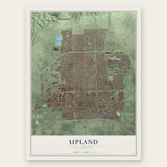
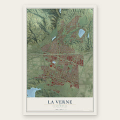
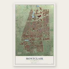
More maps nearby: San Antonio Heights, Pomona, San Dimas, Alta Loma and Glendora.
The art of mapping a place
How This Map Was Made
Real places. Remarkable detail. Discover the layers that turn geographic data into a map of home.

The view from above
Aerial imagery reveals the character of the land: woodland, open fields, and the patterns of a place.

The shape of the land
Elevation data brings hills, valleys, and subtle changes in the landscape into view.

The details of home
Roads, waterways, and building footprints come together to make the map feel unmistakably local.

Geography becomes art
Considered color, shading, and typography bring the layers together in a map made for your wall.


Process illustrated with Mendon, Massachusetts. Aerial imagery: USDA NAIP. Terrain: USGS 3D Elevation Program. Map details and finished artwork: KNOWOL.
The Details
About This Print
Choose an archival matte print, or a black or white Ayous wood frame. The archival matte print is unframed.
Select your size and finish above to see the matching product image and price.
Materials & Craftsmanship
A contemporary map with the character of a classic atlas, printed on archival matte paper. Optional frames are made from Ayous wood.
Your printed map does not include the watermark shown in the full-map preview.
Shipping & Delivery
Free shipping within the United States. Every print is made to order in the USA.
Buying a gift? Add a note in your cart and we'll include it. We never put prices in the package.
Prints ship within 2 to 3 business days. Allow 7 to 10 days total from ordering for delivery. Timing may vary during holidays or periods of high order volume.
Read our shipping policy.
Returns and damaged prints
Each print is made to order. Change-of-mind refunds are not available after production.
If your print arrives damaged, misprinted or incorrect, contact support@knowol.com within 30 days of receiving it. Include your order number, photos and a description of the issue.
Read our full refund and replacement policy. For questions about your order, email support@knowol.com.