
Search for another town
Free U.S. delivery 7 to 10 days after you order
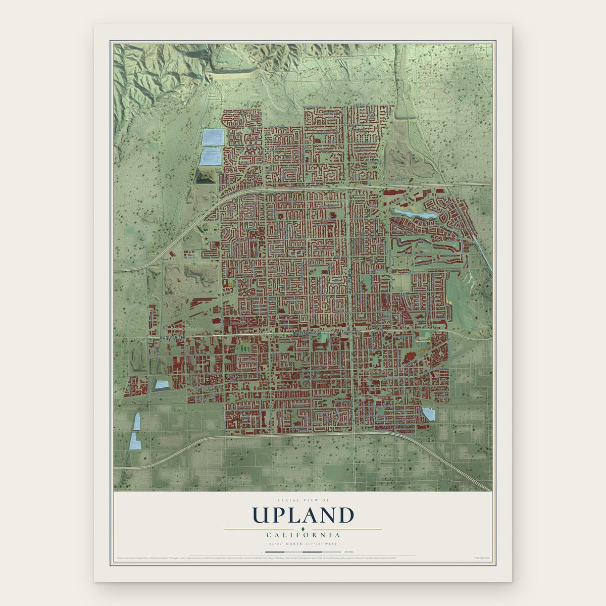
Upland, California Map Art
Building by building, with labeled streets and shaded relief.
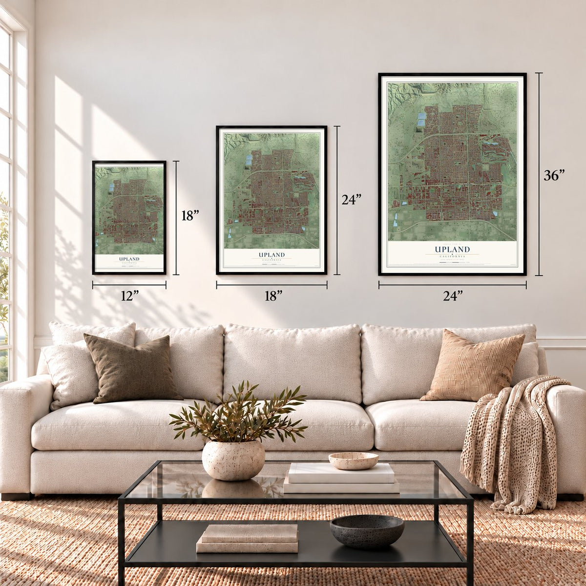
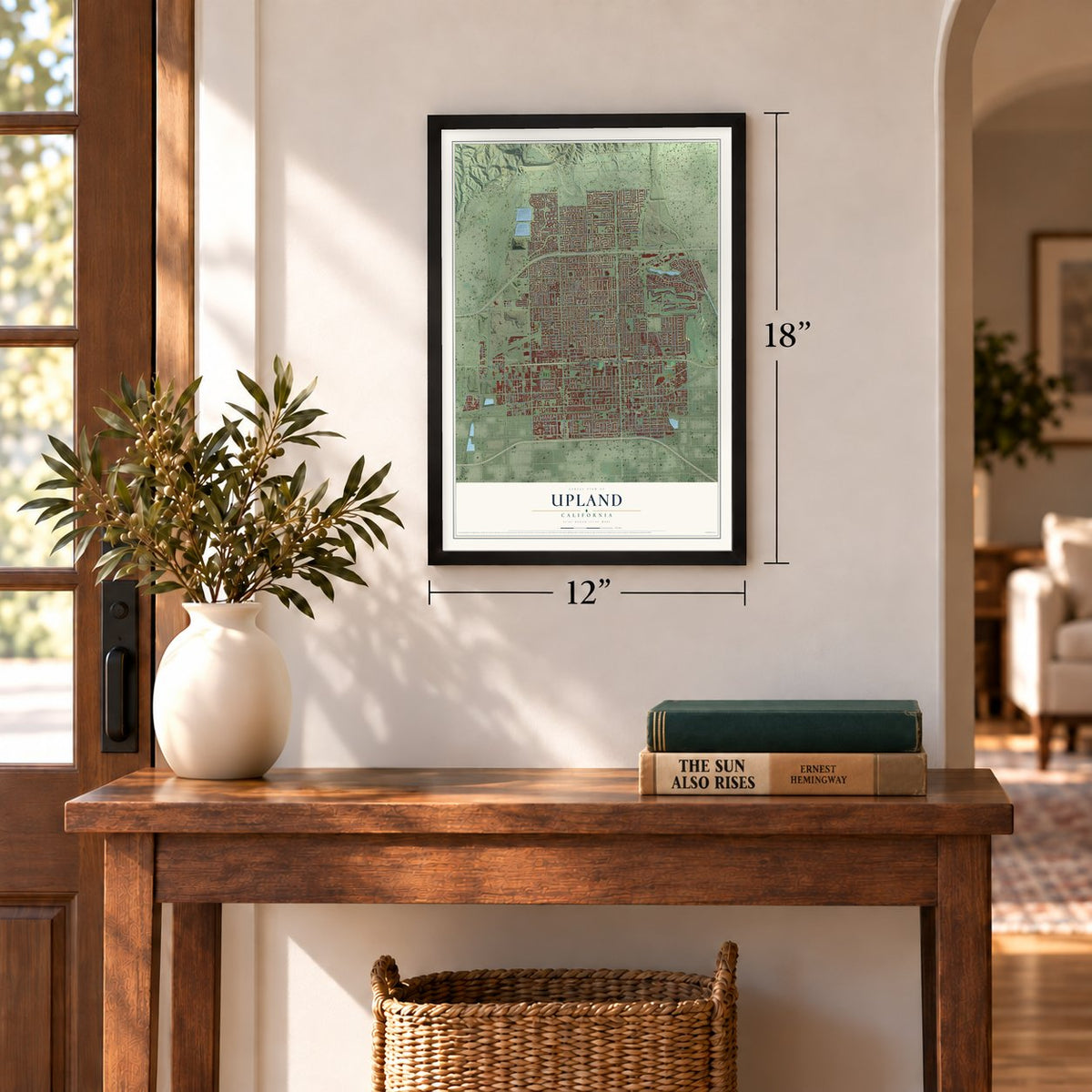
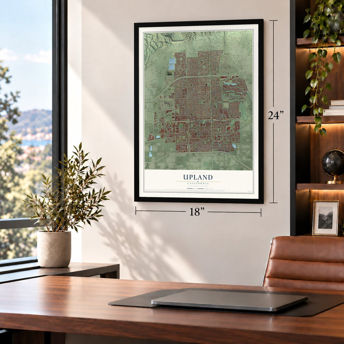
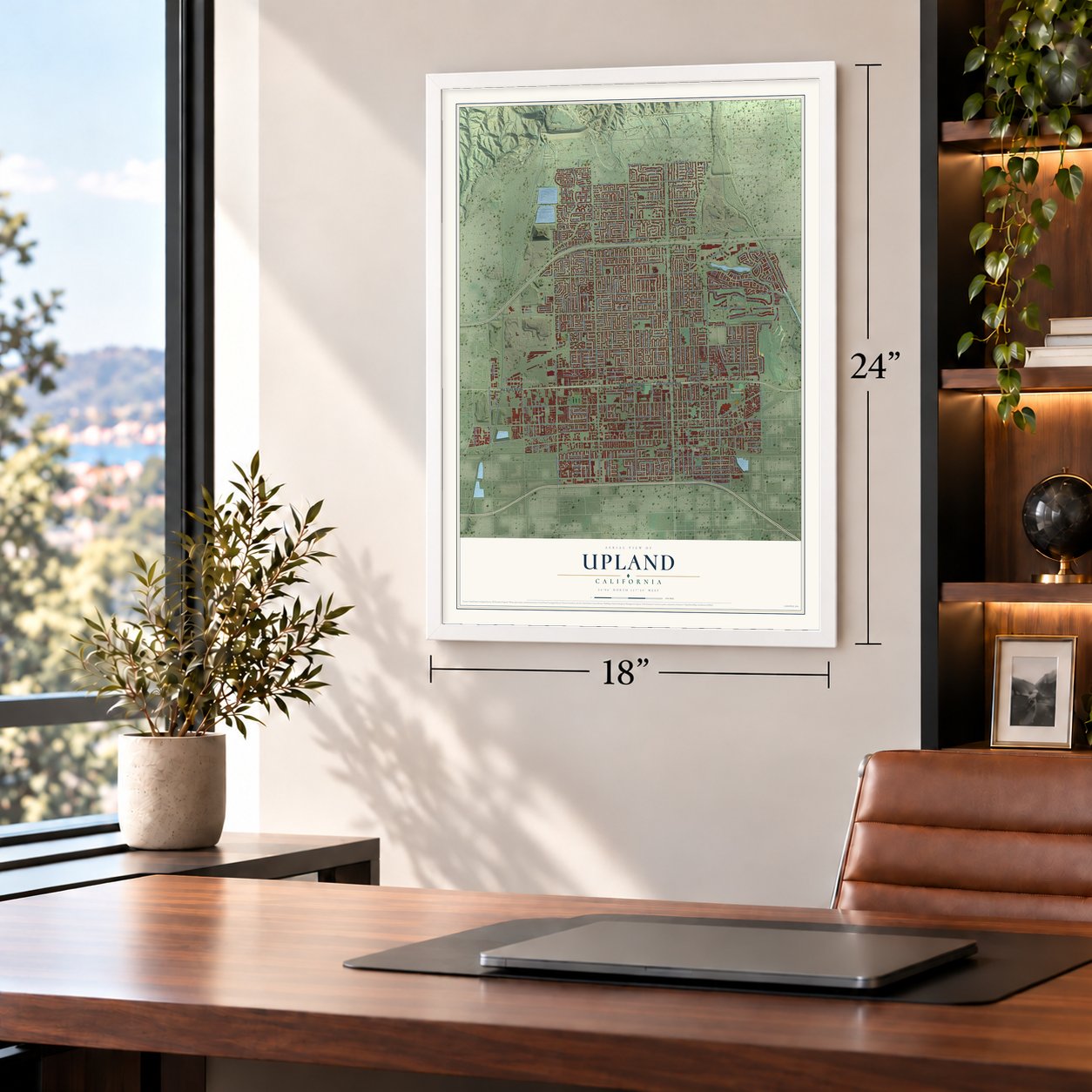
12" x 18" Archival Matte Print
A Map of Home. A Work of Art.
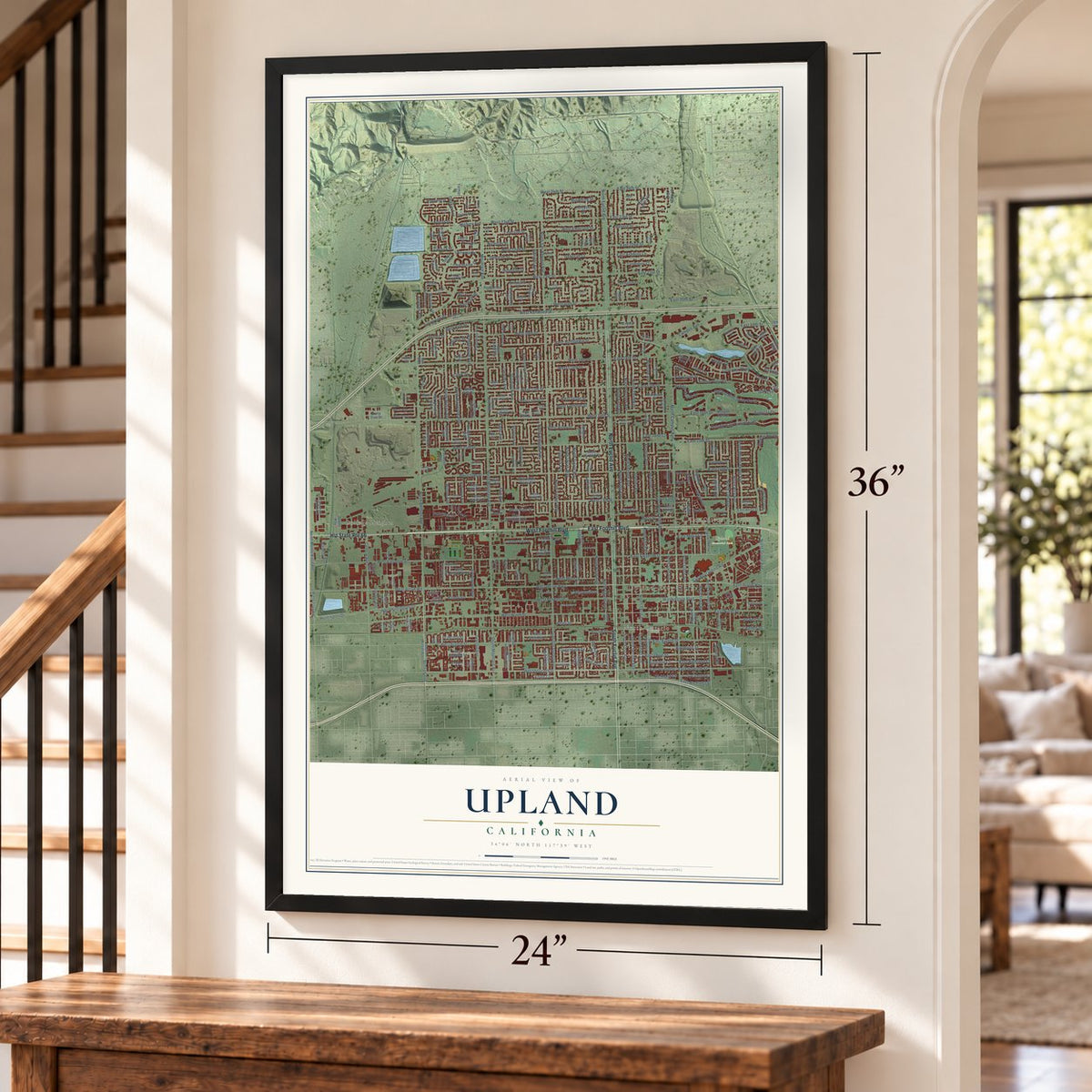
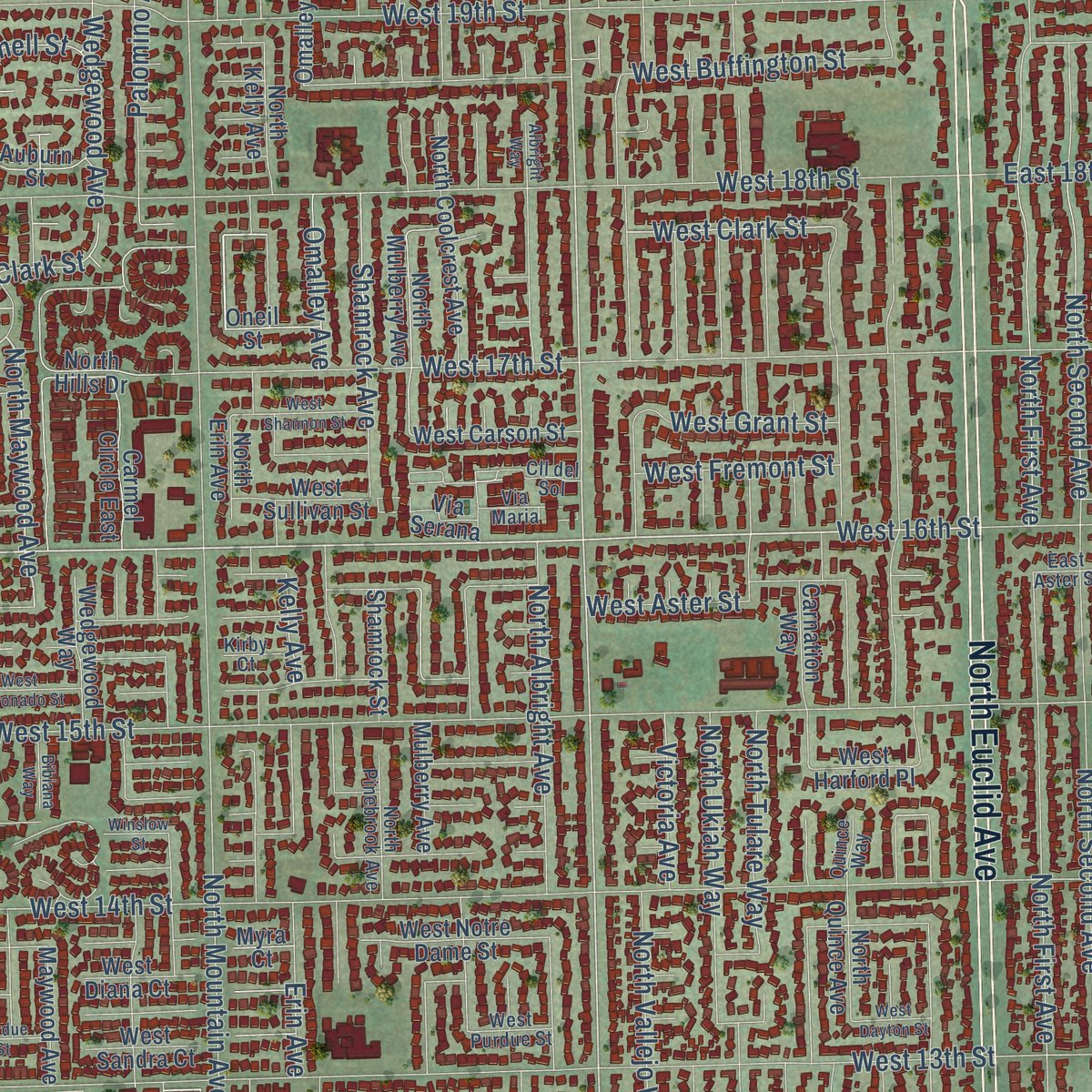
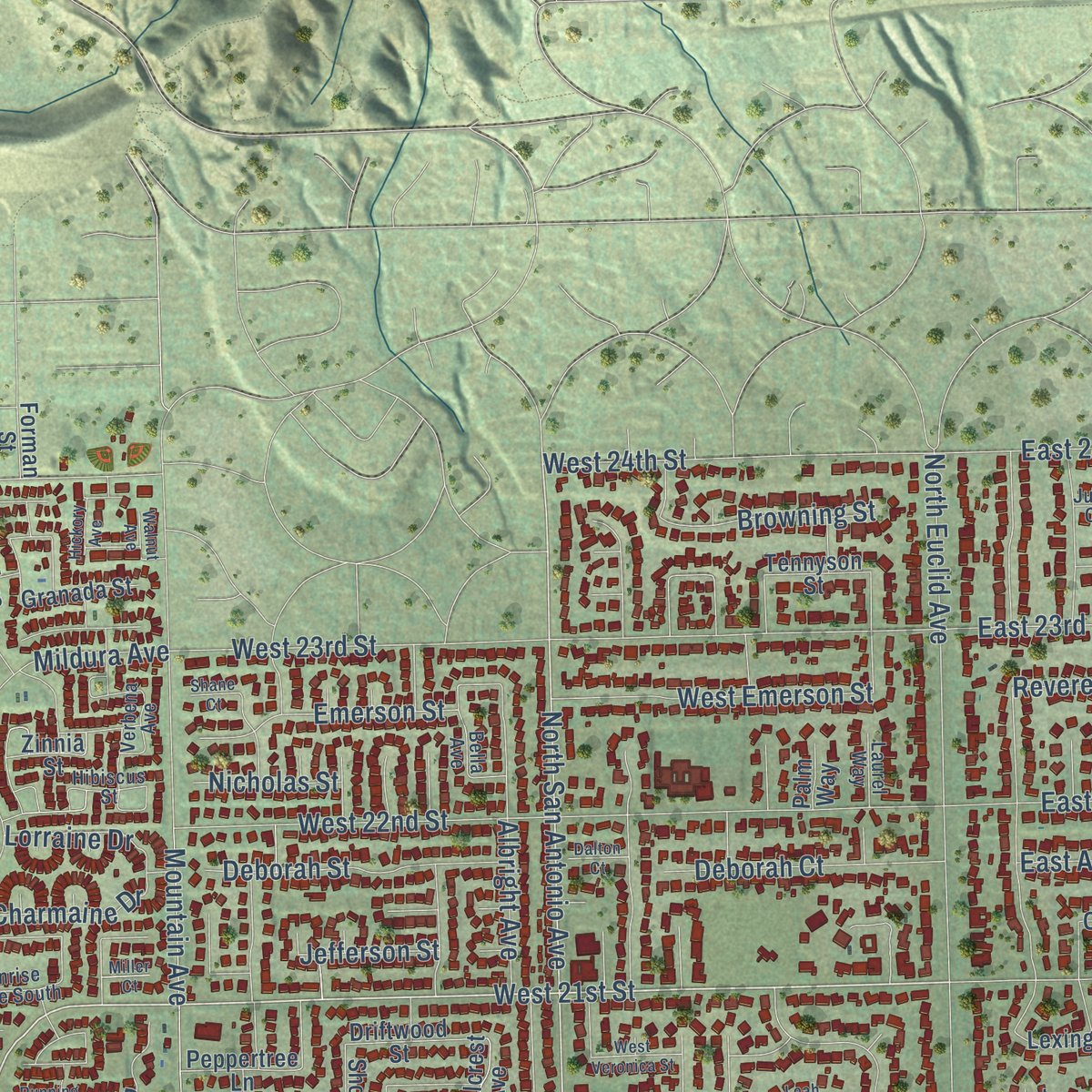
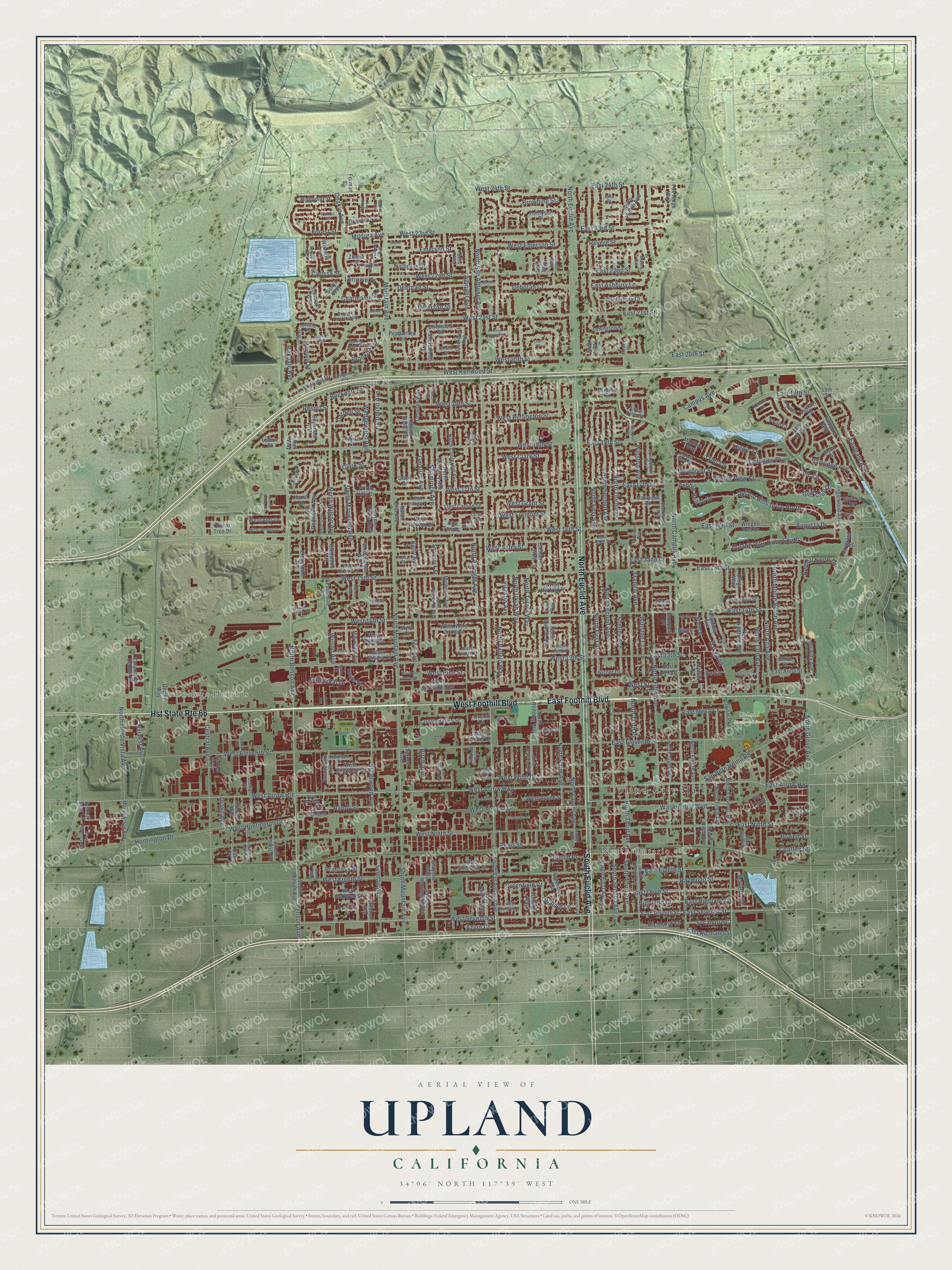
Explore Upland, California from a whole new perspective. Created using aerial imagery and detailed geographic data, this map captures Upland building by building, with labeled streets, familiar landmarks, and shaded topographical relief that highlights the natural contours of the landscape.
Combining modern data with the timeless character of a vintage atlas, this map is just as interesting up close as it is beautiful on the wall. Whether you grew up in Upland, spent memorable years there, or call it home today, this unique map is a great way to celebrate a place that means something to you. Zoom in on the preview to look for your street, and then order a print to put your memories on the wall.
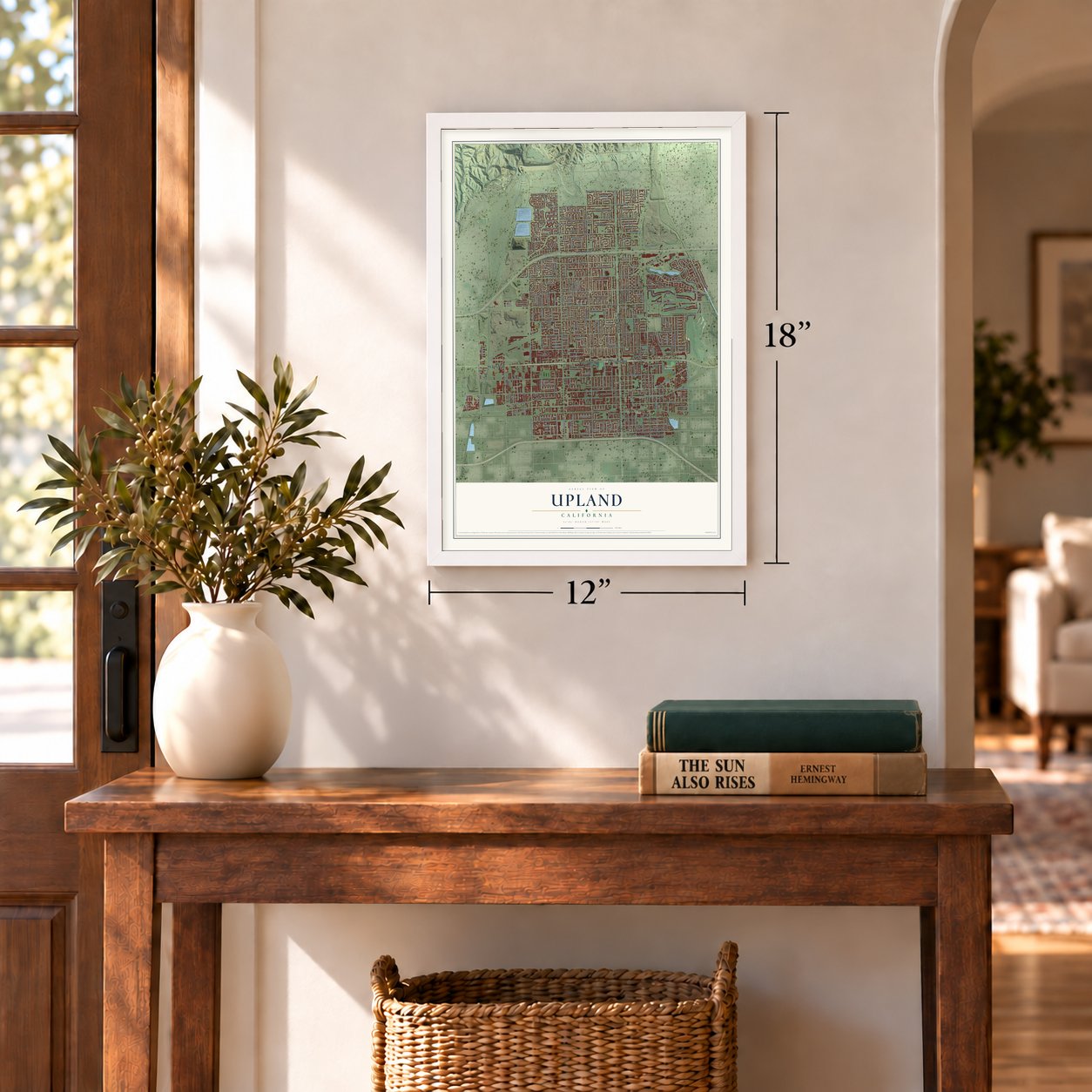
Three ways to hang it
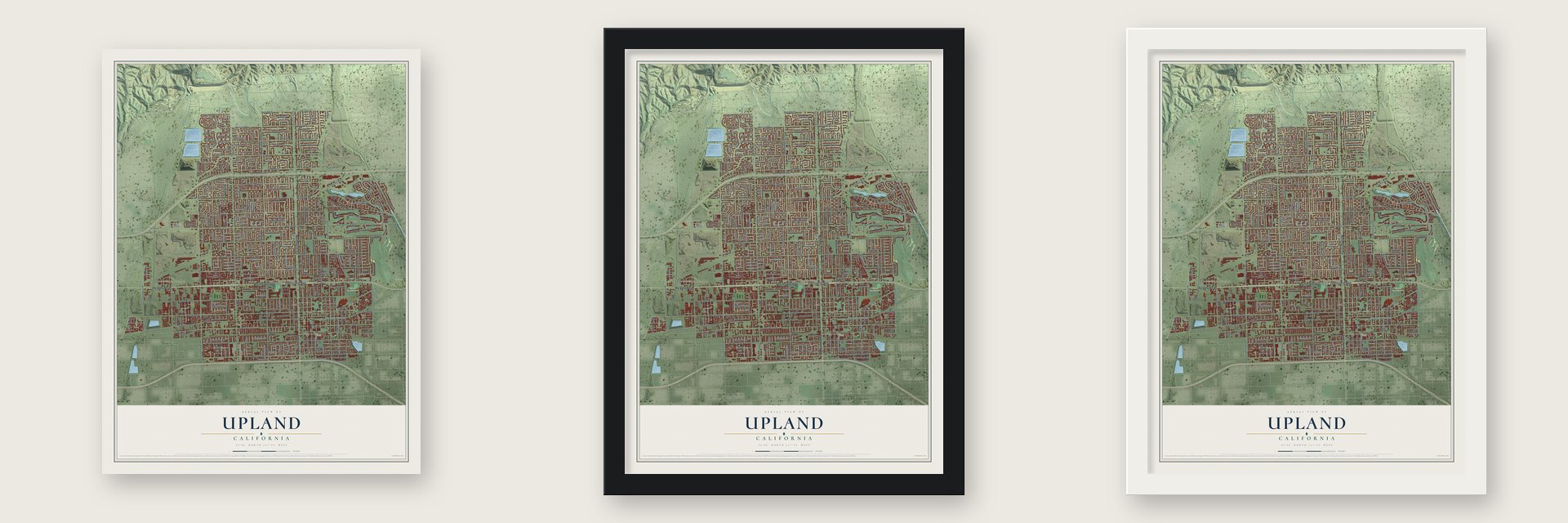
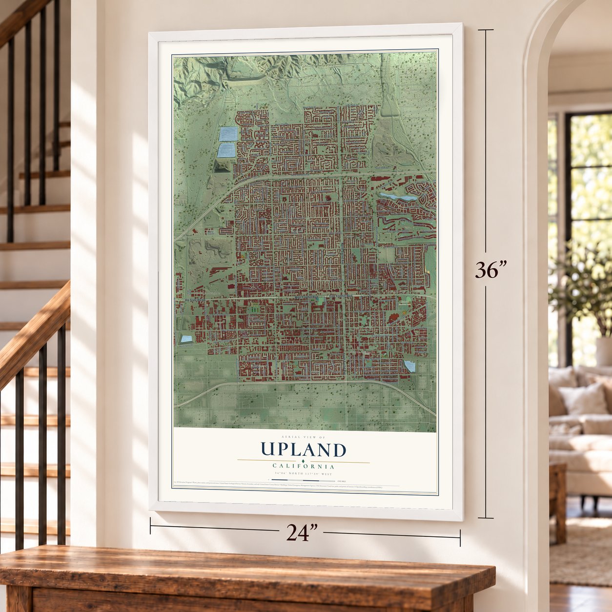
Unframed archival matte, a black wood frame or a white wood frame.
Up close
Geography Worth Displaying
This map was created using accurate cartographic data and authoritative geographic sources, including the U.S. Geological Survey and the Census Bureau. The map brings together terrain, waterways, roads, and building detail. The majority of the streets are labeled, houses are accurately depicted, and the topography is derived from government sources. Combining local data with carefully composed color and shading leads to this beautifully detailed Upland artwork for your wall.
Rather than simply showing street outlines, we’ve included as many of the street names as we could reasonably fit on the map while keeping their names legible. Zoom in on the high resolution preview to see exactly what’s on the map. We truly set out to create a statement piece for anyone who loves Upland. So whether it’s for you, or a gift for someone you love, we hope this map of Upland brings back fond memories.
Read the story behind this map of Upland, California from 2026.
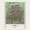
Find your street
Names on the Upland map
Every name below is printed on this map. Look for your street, your school, the park where you played, or the pond down the road.
Places and landmarks5
- Upland City Hall
- College Heights
- North Ontario
- Los Olivos
- Upland Memorial Park
Streets and roads354
- Hst State Route 66
- West Foothill Boulevard
- East Foothill Boulevard
- North Euclid Avenue
- South Euclid Avenue
- North Benson Avenue
- West 16th Street
- West Arrow Highway
- West Seventh Street
- East Arrow Highway
- West 21st Street
- East Seventh Street
- Erin Avenue
- Upland Hills Drive South
- Upland Hills Drive North
- North Maywood Avenue
- Benson Avenue
- Golf Club Drive
- North San Antonio Avenue
- West Arrow Route
- West Clark Street
- Clark Street
- Azure Court
- North Mountain Avenue
- North Campus Avenue
- North First Avenue
- North Second Avenue
- West Eleventh Street
- North Laurel Avenue
- West Ninth Street
Show all 354 streets
- North Third Avenue
- North Vallejo Way
- West 13th Street
- West 19th Street
- North Grove Avenue
- West 18th Street
- West Eighth Street
- West 15th Street
- West 17th Street
- North Palm Avenue
- East 16th Street
- Central Avenue
- West 20th Street
- West 14th Street
- North Ukiah Way
- North Tulare Way
- East 15th Street
- East Ninth Street
- Colonies Parkway
- East 14th Street
- East 13th Street
- North Fifth Avenue
- East 19th Street
- West 23rd Street
- West 22nd Street
- West 24th Street
- North 13th Avenue
- North Albright Avenue
- West Aster Street
- East Eighth Street
- East Eleventh Street
- North Wilson Avenue
- Mildura Avenue
- East 20th Street
- West Buffington Street
- East Olive Street
- West Winn Drive
- East 24th Street
- Huntington Drive
- Washington Boulevard
- North Alta Avenue
- Palomino Avenue
- San Bernardino Road
- North Monte Vista Avenue
- Winston Court
- Albright Avenue
- North Monte Verde Avenue
- Campus Avenue
- Omalley Avenue
- Eastgate Avenue
- Pebble Beach Drive
- West Vernon Drive
- East 17th Street
- East Highland Court
- Highland Court
- West Kenwood Street
- Evergreen Drive
- East 18th Street
- West Huntington Drive
- Mountain Avenue
- South Mountain Avenue
- Wedgewood Avenue
- Shelley Avenue
- East 21st Street
- East 22nd Street
- East 23rd Street
- West Emerson Street
- Brookdale Drive
- Silverwood Avenue
- Emerson Street
- Shamrock Avenue
- Deborah Street
- East Mesa Court
- Cole Lane
- Partridge Avenue
- Deborah Court
- Raymond Street
- Oakwood
- Francis Avenue
- Cathedral Drive
- Sinclair Avenue
- Redhill North Drive
- South Second Avenue
- South First Avenue
- South Third Avenue
- West Pine Street
- Victoria Avenue
- Viewpoint Street
- Browning Street
- Charmaine Drive
- Augusta Drive
- East Ashbury Lane
- Tyler Lane
- West Street
- West Fremont Street
- Deakin Avenue
- West Grant Street
- East Richland Street
- Birkdale Avenue
- Revere Street
- Sycamore Court
- Primrose Street
- Scenic View Street
- Jefferson Street
- North Third Place
- Winston Avenue
- Spruce
- Forest Street
- Randy Street
- Lorraine Drive
- Richland Street
- Resort Street
- Chaffee Street
- Rockdale Street
- Euclid Place
- Greenfield Court
- Orchard Lane
- Pearl Street
- Leggio Lane
- Nicholas Street
- East Jane Court
- Harvest Avenue
- Bowen Street
- Wilson Avenue
- Birch Avenue
- Settlers Road
- Kelly Avenue
- Darnell Street
- Carissa Street
- Drake Avenue
- Birch
- Cedar
- South San Antonio Avenue
- South Benson Avenue
- North Erin Avenue
- Mariposa Street
- North Redding Way
- North Kelly Avenue
- North Coolcrest Avenue
- North Sixth Avenue
- Mulberry Avenue
- North Fourth Avenue
- North Ninth Avenue
- North Mulberry Avenue
- North Eighth Avenue
- North Quince Avenue
- North Tenth Avenue
- Tanglewood Avenue
- North Eleventh Avenue
- North Hills Drive
- Brentwood Avenue
- West Springfield Street
- North Redwood Way
- Coolcrest Avenue
- Pinnacle Way
- Omalley Way
- West Harford Place
- Loma Sola Avenue
- Carmel Circle East
- Winged Foot Drive
- West Sheridan Street
- West Notre Dame Street
- Somerset Way
- Greentree Road
- Monte Vista Avenue
- Hospital Parkway
- South Harrington Avenue
- Fairwood Way
- West Maxwell Street
- Muirfield Avenue
- Edgefield Avenue
- West Carson Street
- South Austin Way
- Golden Rain Street
- Via Serana
- Corporate Center Drive
- Glenwood Way
- West Alpine Street
- Wedgewood Way
- Via Linda
- North Crawford Avenue
- Cloverdale Avenue
- Canterbury Court
- West Elmwood Street
- Miramar Street
- Driftwood Street
- Lexington Street
- East Anita Street
- Maywood Avenue
- West Sullivan Street
- Highpoint Street
- Chinar Tree Drive
- West Alps Drive
- Verdugo Way
- Shamrock Street
- Shorewood Avenue
- Carnation Way
- Sugarloaf Avenue
- Palm Way
- Grayson Way
- Matthys Way
- West Amber Court
- Peppertree Lane
- Spyglass Drive
- Dewey Way
- Granada Street
- Armando Street
- Hervey Avenue
- Stillman Avenue
- Diego Way
- West Sandra Court
- West Diana Court
- Tennyson Street
- Fox Ridge Way
- Laurel Drive
- Zinnia Street
- Wisteria Avenue
- Auburn Street
- Glen Rosa Street
- East Pine Street
- Oneil Street
- Salina Street
- Nisbet Drive
- Corte Santana
- South Sierra Place
- Spruce Avenue
- Forman Street
- Loma Place
- Philo Court
- Bouquet Drive
- Myrtle Drive
- Vigilant Street
- Golden Bear Lane
- Bison Street
- Ferrier Way
- Riviera Drive
- Lisbon Street
- Orchid Court
- Oriole Place
- Hazel Court
- Tapia Way
- Sonya Way
- Vail Way
- Vista Place
- Myra Court
- 19th Street
- South Sultana Avenue
- North Shasta Way
- Sunnybrook Avenue
- Quince Way
- Cll del Sol
- Fernbrook Avenue
- Via Maria
- Windemere Way
- North Pinebrook Avenue
- West Andes Drive
- Citrus Union Street
- Falcon View Street
- Flower Court
- Sunrise Circle South
- Poppy Avenue
- Norwood Court
- Solano Street
- Amber Court
- Hibiscus Street
- Bella Avenue
- Verbena Avenue
- Fredricks Lane
- West Purdue Street
- Winston Way
- Alpine Street
- South Loma Place
- Alpine
- East Aster Street
- Laurel Way
- Berry Court
- Kirby Court
- Kendra Lane
- Linden Court
- Helena Court
- Bonita Court
- Laurel Avenue
- Julia Court
- Palm Drive
- Winslow Street
- Evergreen Way
- West Coronado Street
- North College Park Drive
- West Shannon Street
- Ambrosia Avenue
- Orangewood Avenue
- North Twelfth Avenue
- Mountain Gate Road
- South Laurel Avenue
- North Glenwood Avenue
- Darlington Avenue
- Running Creek Lane
- Elmhurst Way
- West Emerald Street
- North Juniper Avenue
- Diamond Court
- Purdue Street
- West Veronica Street
- Corte Hacienda
- Veterans Court
- Christopher Avenue
- Howard Access Road
- West Dayton Street
- Doral Drive
- Bibiana Way
- Walnut Avenue
- Camphor Way
- Hickory Avenue
- Lookout Court
- North Rocky Road
- Albright Way
- Eloise Way
- London Avenue
- Dalton Court
- Shadow Way
- Genoa Way
- Miller Court
- Shane Court
- Leah Court
Names are listed as they appear on the printed map. Zoom into the product photos to find them.
About Upland, California
Upland is a city of 79,040 people in San Bernardino County, at the foot of the San Gabriel Mountains. In 1882 George Chaffey, a Canadian from Ontario, paid $60,000 for 6,216 acres of the old Cucamonga Rancho and water rights on San Antonio Creek. He laid out the Ontario colony there, and its northern end came to be called North Ontario, or Magnolia after a hotel. Charles D. Adams, first president of the Upland Citrus Association, chose that group's name, and by 1902 people used Upland for the whole area.
Ontario heard in 1901 that its northern neighbors wanted a city of their own, so it stretched its limits from half a square mile to over 10 square miles. That plan took in Upland's post office, the Santa Fe tracks and the depot, and residents objected. After a two-day hearing that began March 12, 1906, county supervisors allowed an election. Voters approved incorporation on May 5, 183 to 19, and the state created the city on May 15, 1906. In 1935 the boundary was redrawn to take in land Ontario had annexed in 1902.
- A mule on the trolleyChaffey named the colony's main road for Euclid, his favorite mathematician, and planned it 200 feet wide with a parkway down the middle. A trolley in that median once ran to the Southern Pacific line in Ontario. A mule pulled the car uphill to Upland, then rode back down on a trailer behind it. The line later switched to electric power and closed in 1928. Euclid Avenue joined the National Register in 2005.
- A hospital built on stockUpland's first hospital opened in 1907 at Arrow Highway and San Antonio Avenue, paid for by selling stock in the community. It had 18 beds and five doctors. A larger San Antonio Community Hospital on East San Bernardino Road was dedicated on July 30, 1924, with room for 50 patients and a cost of $173,107.10. The Old San Antonio Hospital joined the National Register in 1980.
- The fire of 1913Upland formed a volunteer fire department in 1911 with F.H. Manker as chief, and its first equipment was a hose cart hauled by whoever arrived first. In 1913 the town's first serious fire burned every business along Second Avenue's east side, south of Ninth Street. Two years later the town built a fire station on D Street and bought its first motorized engine.
- On the road to Route 66Foothill Boulevard follows the path the early Spanish explorers used through Upland. In 1912 it became part of the National Old Trails Road, the first highway to cross the country from coast to coast, and in 1926 the western part of that road became Route 66.
Keep exploring California
Upland is one of 1,990 California towns we've mapped. Every dot on the map is a print of its own.
The search covers every state, California first.
Near Upland
Order 2 or more town maps and save 10%. Shown in the size and finish you picked above, so they hang as a set.
- San Antonio Heights 12" x 18" / Archival Matte Print $39.99
- Claremont 12" x 18" / Archival Matte Print $39.99
- Montclair 12" x 18" / Archival Matte Print $39.99
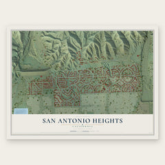
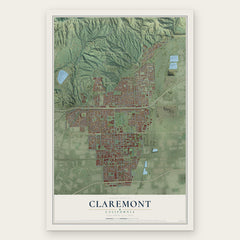
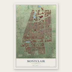
More maps nearby: Alta Loma, Rancho Cucamonga, Ontario, La Verne and Pomona.
The art of mapping a place
How This Map Was Made
Real places. Remarkable detail. Discover the layers that turn geographic data into a map of home.

The view from above
Aerial imagery reveals the character of the land: woodland, open fields, and the patterns of a place.

The shape of the land
Elevation data brings hills, valleys, and subtle changes in the landscape into view.

The details of home
Roads, waterways, and building footprints come together to make the map feel unmistakably local.

Geography becomes art
Considered color, shading, and typography bring the layers together in a map made for your wall.


Process illustrated with Mendon, Massachusetts. Aerial imagery: USDA NAIP. Terrain: USGS 3D Elevation Program. Map details and finished artwork: KNOWOL.
The Details
About This Print
Choose an archival matte print, or a black or white Ayous wood frame. The archival matte print is unframed.
Select your size and finish above to see the matching product image and price.
Materials & Craftsmanship
A contemporary map with the character of a classic atlas, printed on archival matte paper. Optional frames are made from Ayous wood.
Your printed map does not include the watermark shown in the full-map preview.
Shipping & Delivery
Free shipping within the United States. Every print is made to order in the USA.
Buying a gift? Add a note in your cart and we'll include it. We never put prices in the package.
Prints ship within 2 to 3 business days. Allow 7 to 10 days total from ordering for delivery. Timing may vary during holidays or periods of high order volume.
Read our shipping policy.
Returns and damaged prints
Each print is made to order. Change-of-mind refunds are not available after production.
If your print arrives damaged, misprinted or incorrect, contact support@knowol.com within 30 days of receiving it. Include your order number, photos and a description of the issue.
Read our full refund and replacement policy. For questions about your order, email support@knowol.com.