
Search for another town
Free U.S. delivery 7 to 10 days after you order
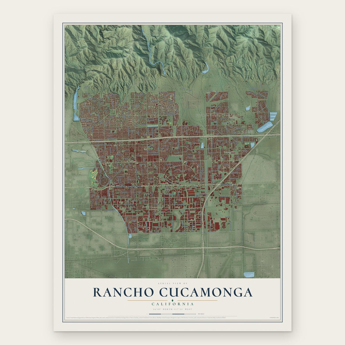
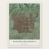
Rancho Cucamonga, California Map Art
Building by building, with labeled streets and shaded relief.
12" x 18" Archival Matte Print
A Map of Home. A Work of Art.
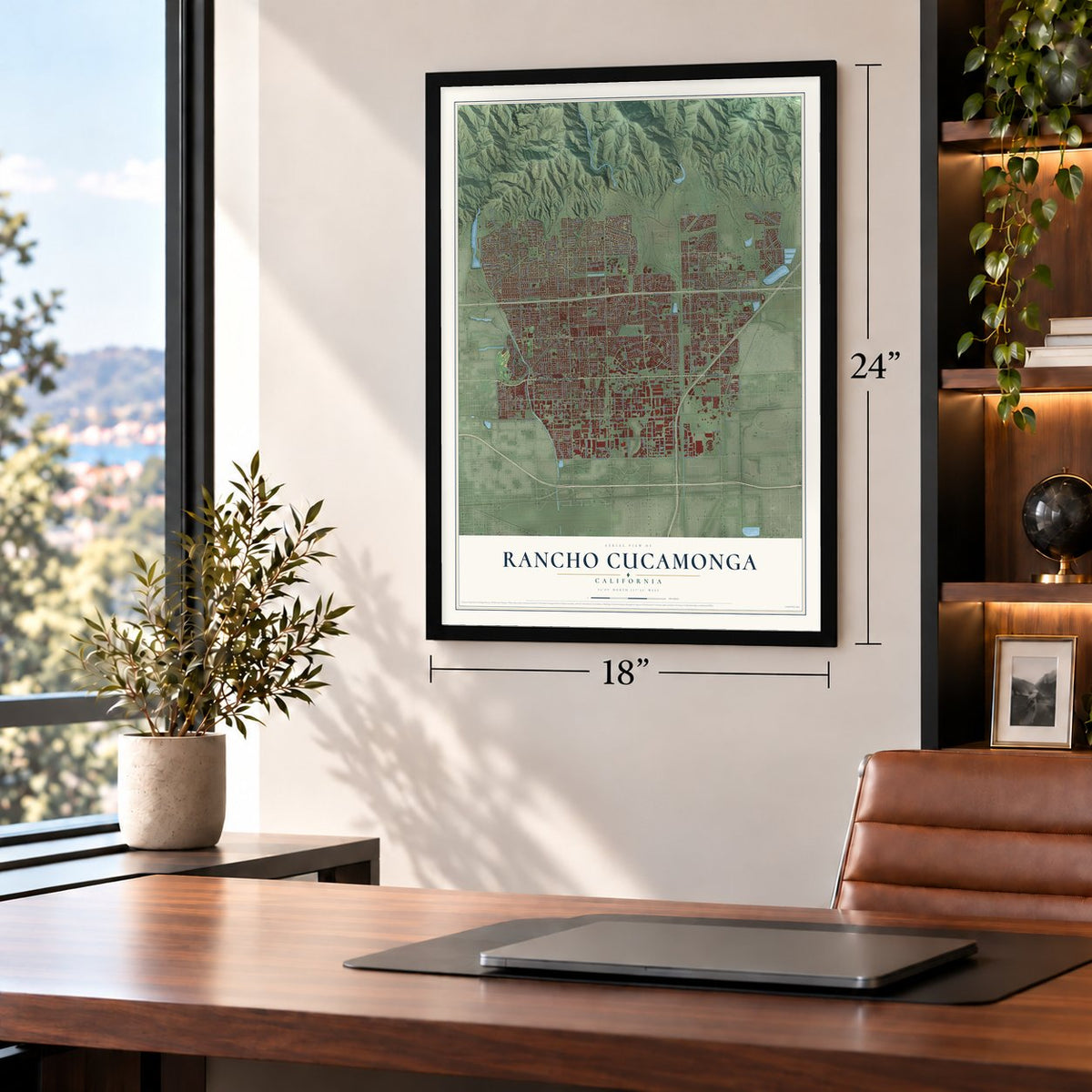
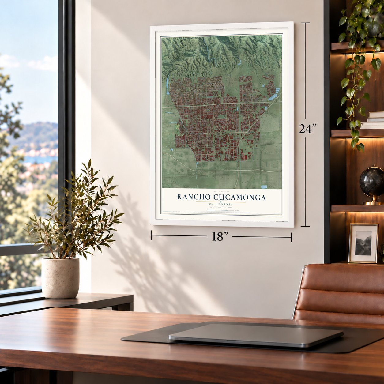
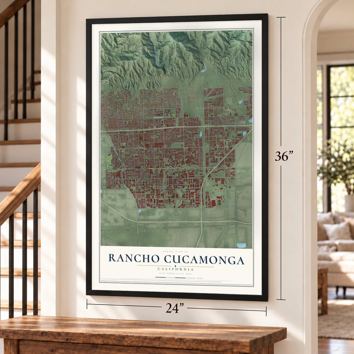
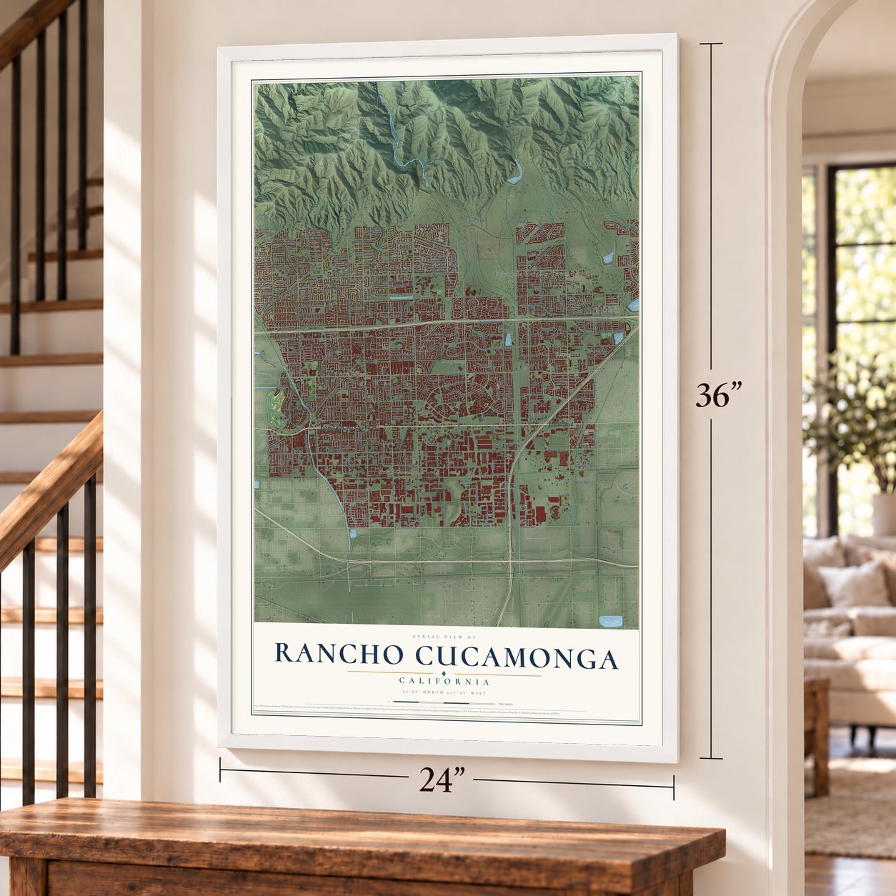
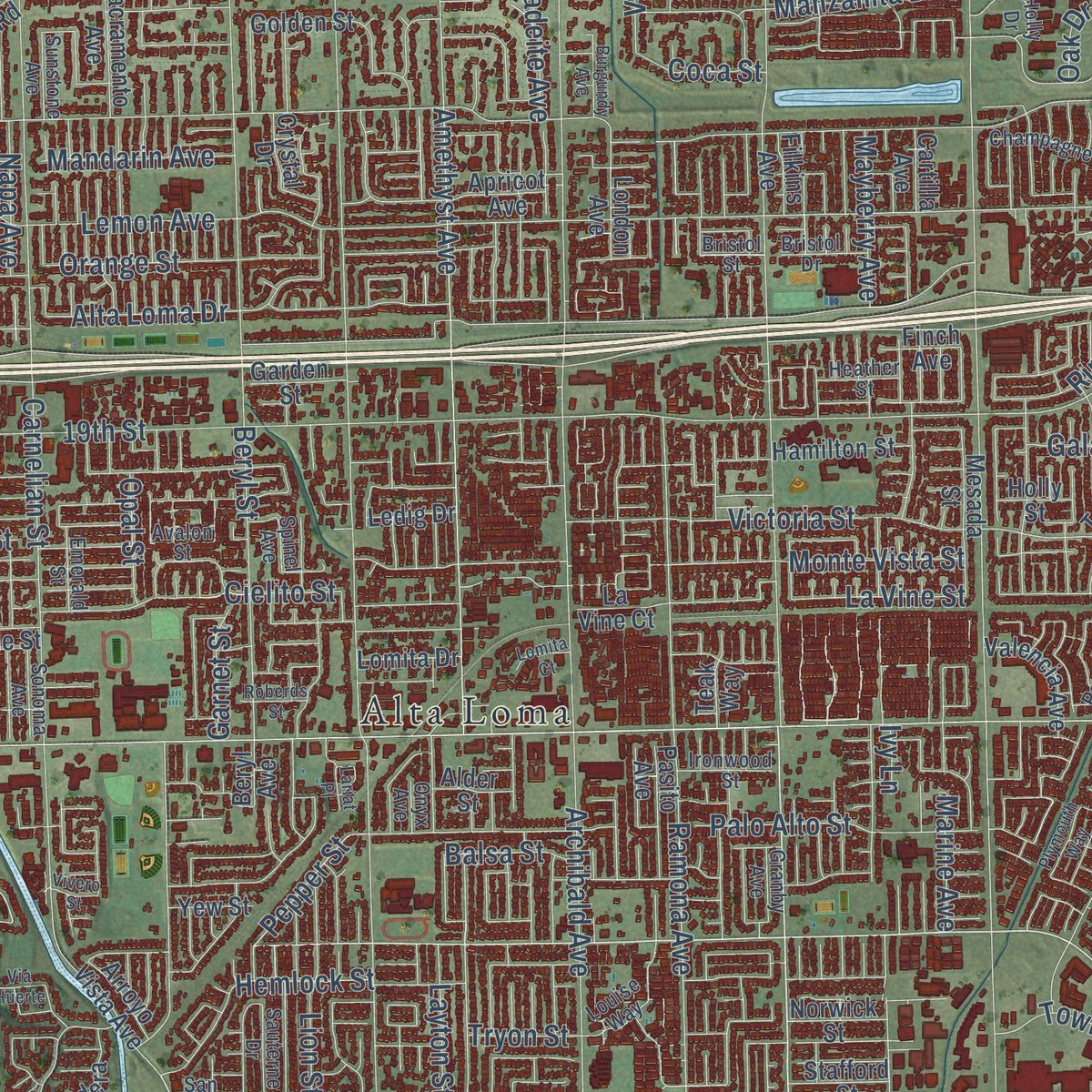
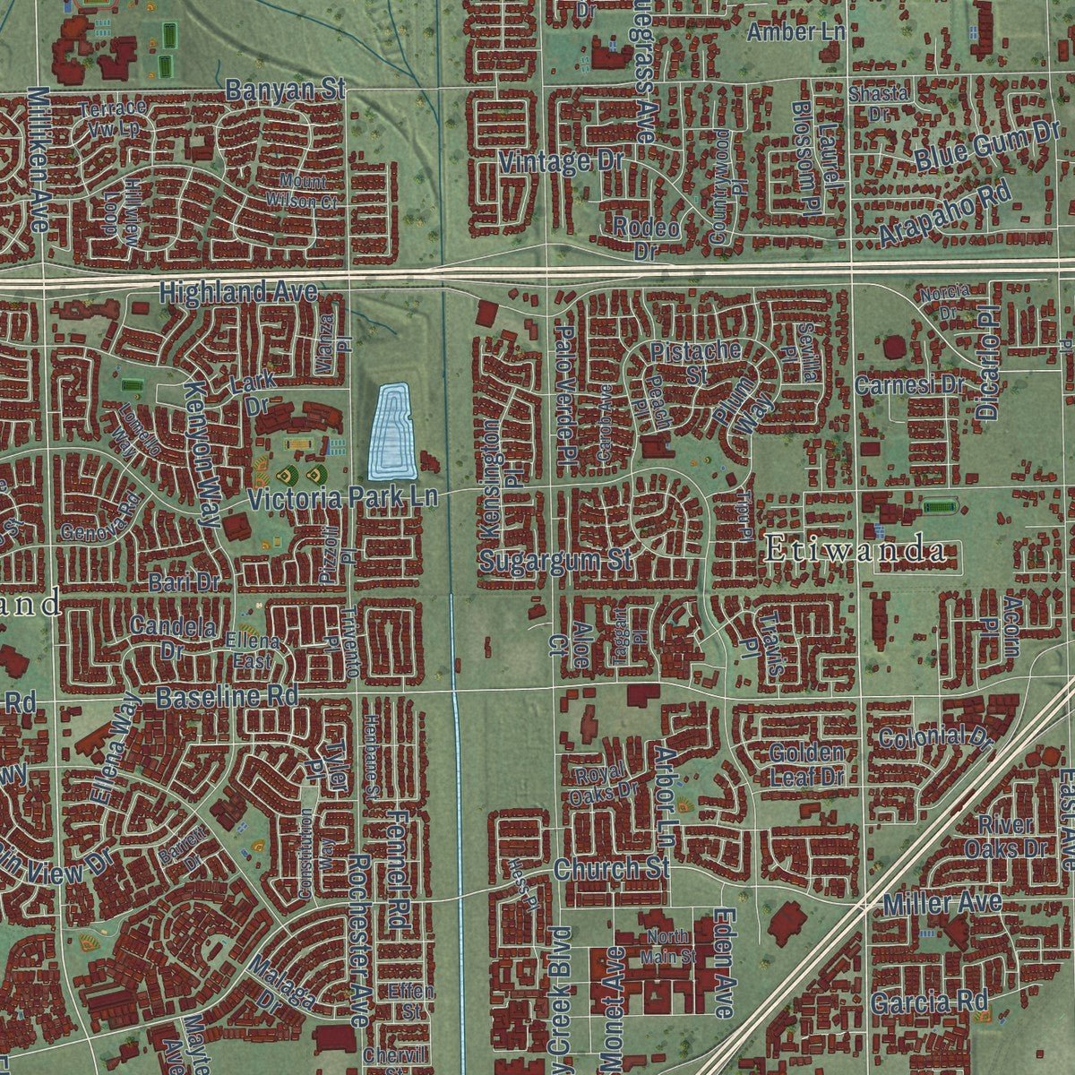
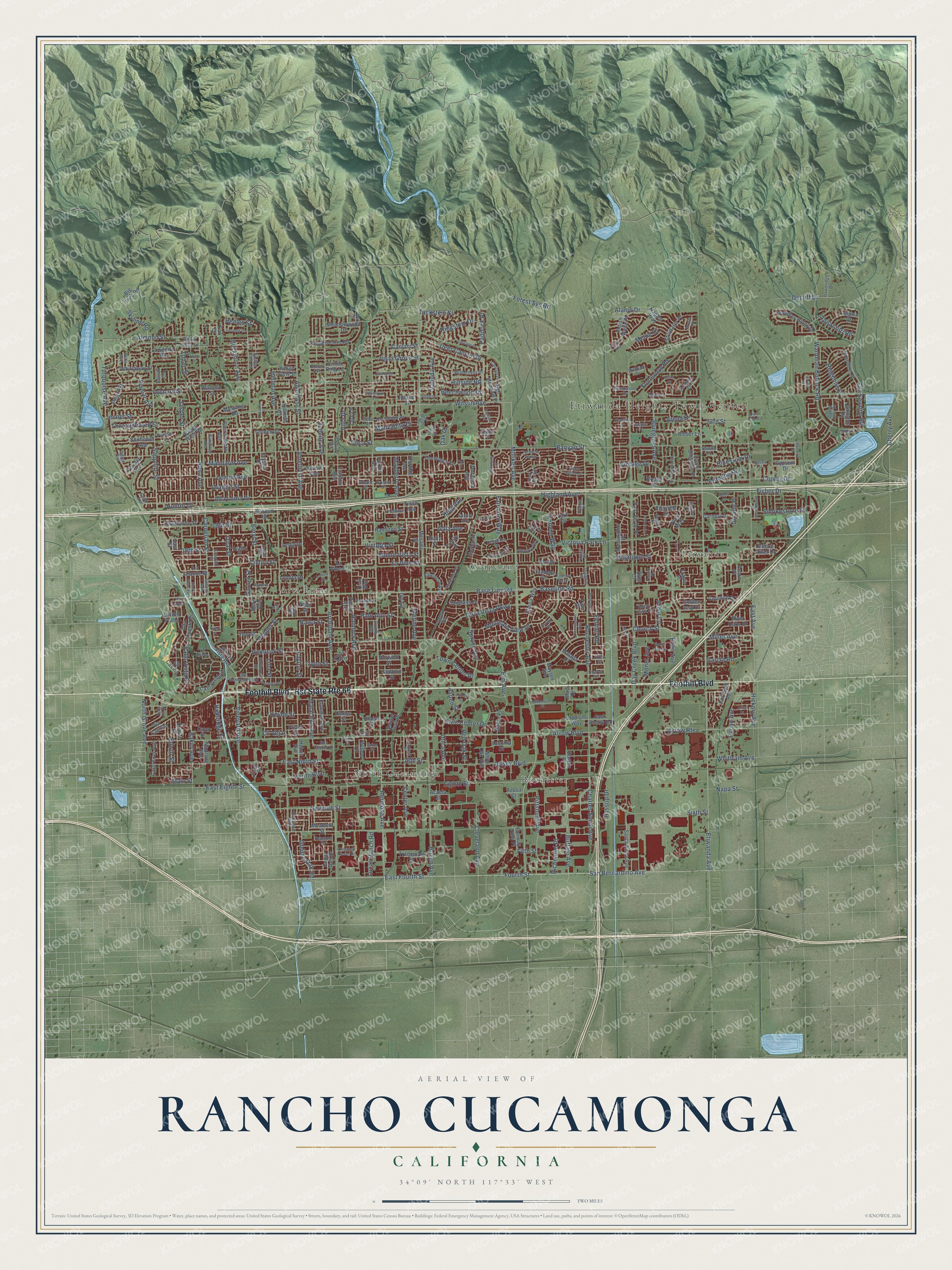
Explore Rancho Cucamonga, California from a whole new perspective. Created using aerial imagery and detailed geographic data, this map captures Rancho Cucamonga building by building, with labeled streets, familiar landmarks, and shaded topographical relief that highlights the natural contours of the landscape.
Combining modern data with the timeless character of a vintage atlas, this map is just as interesting up close as it is beautiful on the wall. Whether you grew up in Rancho Cucamonga, spent memorable years there, or call it home today, this unique map is a great way to celebrate a place that means something to you. Zoom in on the preview to look for your street, and then order a print to put your memories on the wall.
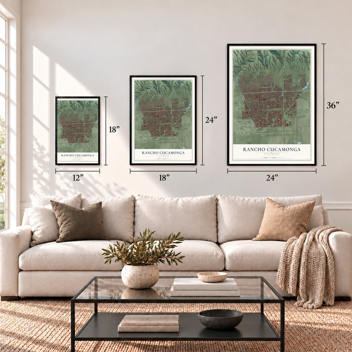
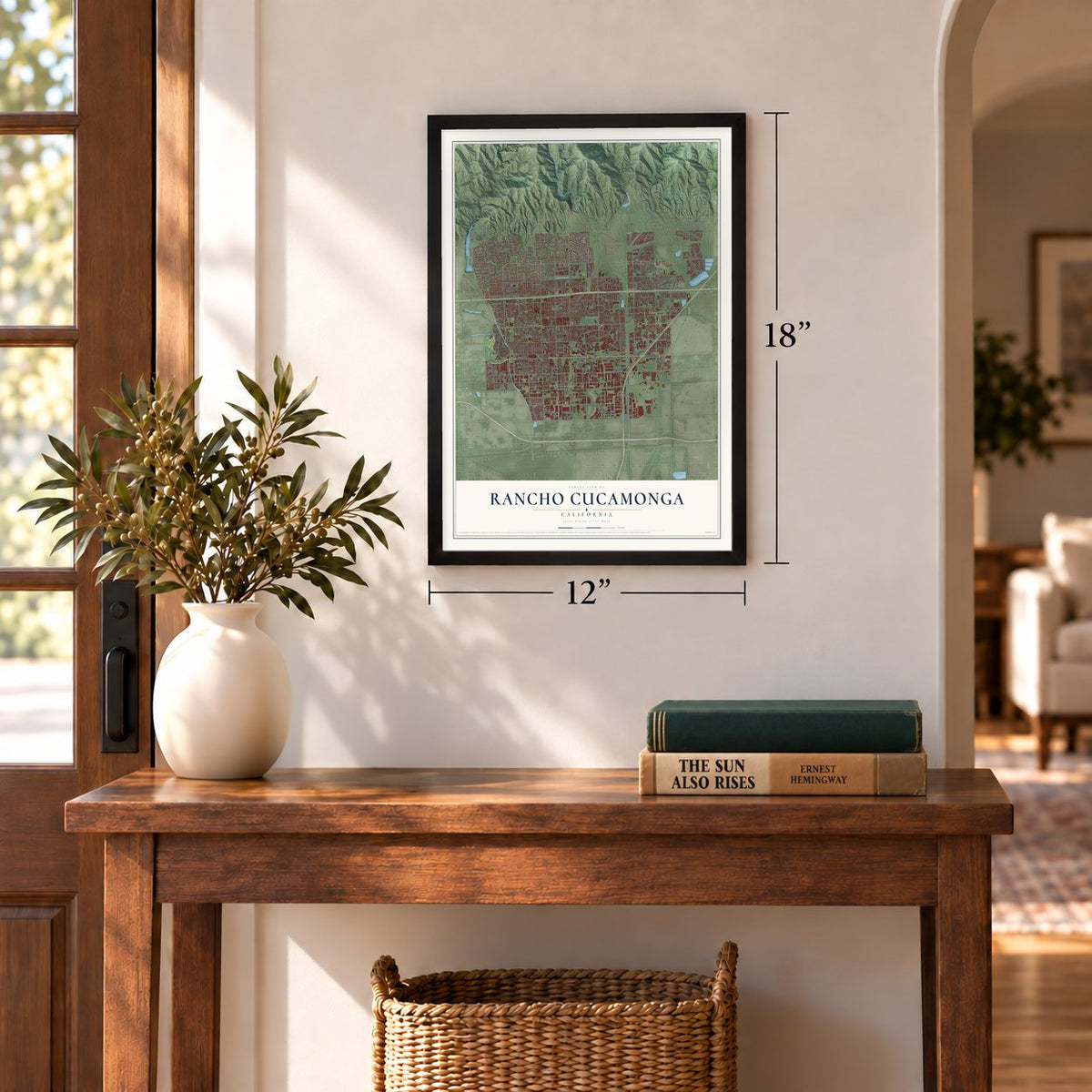
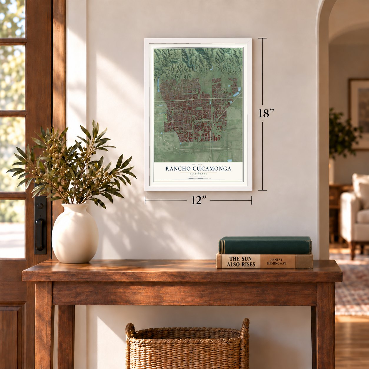
Three ways to hang it
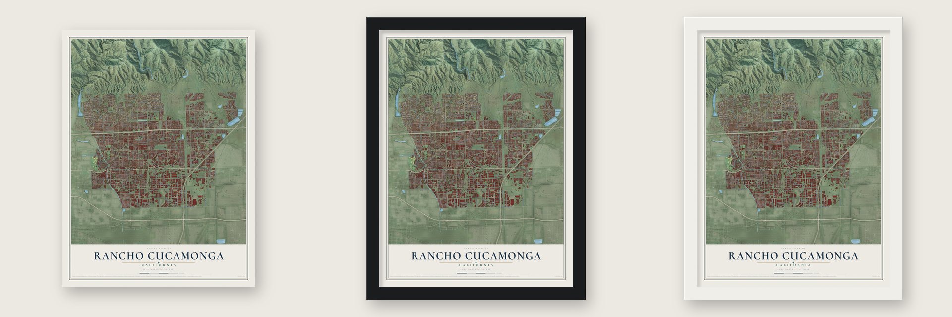
Unframed archival matte, a black wood frame or a white wood frame.
Up close
Geography Worth Displaying
This map was created using accurate cartographic data and authoritative geographic sources, including the U.S. Geological Survey and the Census Bureau. The map brings together terrain, waterways, roads, and building detail. The majority of the streets are labeled, houses are accurately depicted, and the topography is derived from government sources. Combining local data with carefully composed color and shading leads to this beautifully detailed Rancho Cucamonga artwork for your wall.
Rather than simply showing street outlines, we’ve included as many of the street names as we could reasonably fit on the map while keeping their names legible. Zoom in on the high resolution preview to see exactly what’s on the map. We truly set out to create a statement piece for anyone who loves Rancho Cucamonga. So whether it’s for you, or a gift for someone you love, we hope this map of Rancho Cucamonga brings back fond memories.
Read the story behind this map of Rancho Cucamonga, California from 2026.
Find your street
Names on the Rancho Cucamonga map
Every name below is printed on this map. Look for your street, your school, the park where you played, or the pond down the road.
Places and landmarks6
- Etiwanda Heights Town Center
- Alta Loma
- Etiwanda
- Grapeland
- North Cucamonga
- Rochester
Streets and roads371
- Foothill Boulevard
- Hst State Route 66
- Etiwanda Avenue
- Milliken Avenue
- East Fourth Street
- Fourth Street
- Hermosa Avenue
- Church Street
- Wilson Avenue
- Vineyard Avenue
- Base Line Road
- Carnelian Street
- Reales Street
- Seventh Street
- San Sevaine Road
- Pepper Street
- Banyan Street
- Haven Avenue
- Arrow Route
- Arrow Boulevard
- Baseline Road
- Archibald Avenue
- Highland Avenue
- Hellman Avenue
- Sixth Street
- Day Creek Boulevard
- Hillside Road
- Rochester Avenue
- Amethyst Street
- Lemon Avenue
Show all 371 streets
- 19th Street
- East Avenue
- Beryl Street
- Victoria Park Lane
- Victoria Street
- Ramona Avenue
- Jasper Street
- Center Avenue
- Eighth Street
- Monte Vista Street
- Vintage Drive
- Jadeite Avenue
- Sapphire Street
- East Ninth Street
- East Eighth Street
- Almond Street
- Orange Street
- Layton Street
- San Bernardino Avenue
- Terra Vista Parkway
- Jersey Boulevard
- Malachite Avenue
- La Vine Street
- Amethyst Avenue
- Forest Svc Road
- Alta Loma Drive
- Wardman Bullock Road
- Manzanita Drive
- Hyssop Drive
- Utica Avenue
- Hemlock Street
- Lion Street
- Fairmont Way
- Palo Alto Street
- Kenyon Way
- Topaz Street
- Beechwood Drive
- Elm Avenue
- Valinda Avenue
- Devon Street
- Napa Avenue
- Spruce Avenue
- Pecan Avenue
- North Grove Avenue
- Mayberry Avenue
- Buffalo Avenue
- Thoroughbred Street
- Turquoise Avenue
- Mandarin Avenue
- Marine Avenue
- Mountain View Drive
- Feron Boulevard
- Pittsburg Avenue
- Civic Center Drive
- Baker Avenue
- Valle Vista Court
- Miller Avenue
- Buckthorn Avenue
- Red Oak Street
- Balsa Street
- Ring Avenue
- Cleveland Avenue
- Orchard Street
- Hickory Avenue
- Garnet Street
- Ringstem Drive
- Jennet Street
- Vinmar Avenue
- Gala Avenue
- Napa Street
- Deer Canyon Drive
- Fennel Road
- Tryon Street
- Edwin Street
- Opal Street
- Charles Smith Avenue
- Cll Vejar
- Town Center Drive
- Cherry Avenue
- Stoneview Road
- Ridgeline Place
- Smokestone Street
- Golden Oak Road
- Blue Gum Drive
- Pearl Street
- Coca Street
- Main Street
- Monet Avenue
- Tackstem Street
- Richmond Place
- 26th Street
- Skyline Road
- Lucas Ranch Road
- Whittram Avenue
- Cielito Street
- Vista Grove Street
- 23rd Street
- Fisher Drive
- Copley Drive
- Decliff Drive
- Bluegrass Avenue
- Carrari Street
- Garcia Road
- Aggazzitti Road
- Sugargum Street
- Alamo Drive
- Arbor Lane
- Arapaho Road
- Highridge Place
- Melon Drive
- Paddock Place
- Fifth Street
- Villa Drive
- Dicarlo Place
- 18th Street
- Hunter Drive
- Oak Drive
- Aspen Street
- Eden Avenue
- Arena Drive
- Ivy Lane
- Johnston Place
- Willow Drive
- Placer Street
- Stafford Street
- Trademark Street
- Tyler Place
- Klusman Avenue
- Hamilton Street
- London Avenue
- Teak Way
- Hidden Farm Road
- Mesada Street
- Cartilla Avenue
- Whirlaway Street
- Helms Avenue
- Alta Cuesta Drive
- Lomita Drive
- White Oak Avenue
- La Grande Street
- Sacramento Avenue
- Pasito Avenue
- Holly Street
- Bella Vista Drive
- Sard Street
- Golden Street
- Apricot Avenue
- Norwick Street
- Ellena Way
- Alder Street
- Comet Street
- Indian Wells Place
- Peridot Avenue
- Crestline Place
- Garden Street
- Santa Anita Avenue
- Cll Casino
- La Senda Road
- Woodley Ridge Drive
- Sunflower Avenue
- Gypsum Drive
- Arroyo Vista Avenue
- Cll del Prado
- Cam Predera
- Rancho Street
- Calaveras Avenue
- High Meadow Place
- Kensington Place
- Yew Street
- Finch Avenue
- Hawthorne Street
- Via Carrillo
- Stillwater Place
- Meadowwood Drive
- Meadow Street
- Palo Verde Place
- Valencia Avenue
- Acacia Street
- Filkins Avenue
- Regina Drive
- Laurel Blossom Place
- Carnesi Drive
- Malaga Drive
- Naples Way
- Friant Street
- Lark Drive
- Plum Way
- Spyglass Drive
- Mustang Road
- Colonial Drive
- Amber Lane
- Tacoma Drive
- Candela Drive
- Trinity Place
- River Oaks Drive
- Hillside Cv
- Maple Place
- Valley View Street
- Terracina Avenue
- Fairway View Place
- Rogue River Drive
- Madrone Avenue
- Mayten Avenue
- Cornwall Avenue
- Stadium Way
- Cedar Glen Court
- Pistache Street
- Jack Benny Drive
- Cava Drive
- Buggy Whip Road
- La Vine Court
- Sunset Trail Place
- Big Tree Road
- Ledig Drive
- Golden Leaf Drive
- Cinch Ring Lane
- Cerise Street
- Poplar Street
- Rodeo Drive
- Boston Place
- Bari Drive
- Azusa Court
- Crystal Drive
- Fir Drive
- Earl Court
- Travis Place
- Aloe Court
- Beryl Avenue
- Acorn Place
- Masi Drive
- Trivento Place
- San Bernardino Road
- Kirkwood Avenue
- Via Serena
- Dawnridge Drive
- Sunstone Avenue
- Spinel Avenue
- Effen Street
- Ironwood Street
- Onyx Avenue
- Emerald Street
- Terrace Vw Lp
- Avalon Street
- Granby Avenue
- Heather Street
- Falling Tree Lane
- Northridge Drive
- Bristol Drive
- Hillview Loop
- Indigo Avenue
- Champagne Road
- Carol Avenue
- Wilderness Drive
- Chervil Street
- Ellena East
- Morning Place
- Sherbrooke Place
- Countrywood Place
- Della Avenue
- Bus Center Drive
- Parkside Place
- Amarillo Street
- Blackstone Drive
- Delaware Street
- Zapata Place
- Santa Ynez Place
- Genova Road
- Sonora Avenue
- Pumalo Street
- Sauterne Drive
- Carmello Court
- Sonoma Avenue
- Harvest Place
- Tejas Court
- Royal Oaks Drive
- Seasons Drive
- Holly Drive
- Pizzoli Place
- Wolfson Drive
- Dapple Drive
- Peach Place
- Vianza Place
- Arctic Place
- Shasta Drive
- Alexis Avenue
- Flower Road
- Bristol Street
- Louise Way
- Hoppe Drive
- Sevilla Place
- Shiloh Court
- Orion Place
- Pinto Street
- Alpine Street
- Burgundy Avenue
- Canistel Avenue
- Henbane Street
- Salina Street
- Roberds Street
- Constitution Way
- Vicara Drive
- North Main Street
- Estacia Street
- Altura Drive
- Tapia Via Drive
- Carriage Drive
- Lomello Way
- Brownstone Place
- Raindrop Place
- Millennium Court
- Laramie Drive
- Hess Place
- Olive Way
- Waterford Lane
- Sierra Vista Avenue
- Joliet Drive
- Carriage Place
- Jacaranda Court
- Apple Lane
- Carob Avenue
- Crescent Center Drive
- Keenland Drive
- Mount Wilson Court
- Laurel Street
- Pacific Street
- Plymouth Way
- Norcia Drive
- Cassia Street
- Cousins Place
- Scarlet Way
- Hunt Club Drive
- Vivero Street
- Lomita Court
- Taggart Place
- Via Huerte
- Via Ladera
- Tipu Place
- Barrett Drive
- Lariat Place
- Mai Street
- Port Street
Names are listed as they appear on the printed map. Zoom into the product photos to find them.
About Rancho Cucamonga, California
Rancho Cucamonga is a city of 174,453 people in San Bernardino County, just below the foothills of the San Gabriel Mountains. By 1200 AD, Kukamongan people had built a village near Red Hill, on the city's western edge, and the name comes from a Tongva word for a sandy place. On March 3, 1839, Governor Juan Bautista Alvarado gave 13,000 acres called Cucamonga to Tubercio Tapia, a Los Angeles merchant and well-known smuggler, who started California's first winery on the grant.
John Rains and his wife bought the rancho in 1858. In 1887 Chinese laborers dug irrigation tunnels into Cucamonga Canyon, and the Santa Fe Railroad was built through the area, so farms of olives, peaches, citrus and above all grapes spread across the valley. The Pacific Electric Railway arrived in 1913 to move those crops to market, and in 1977 voters in Alta Loma, Cucamonga and Etiwanda chose to join together as the city of Rancho Cucamonga.
“Residents moved out. The post office closed in 1905. Homes, buildings were destroyed or abandoned.”
- The Rains house, 1860After John Rains and his wife bought the rancho in 1858, the family finished its home, Casa de Rancho Cucamonga, in 1860. The John Rains House is now on the National Register of Historic Places.
- Etiwanda, planned in 1881In 1881 George and William Chaffey bought the Etiwanda tract from Joseph Garcia, a retired Portuguese sea captain, and it became the first town the brothers planned. When the Pacific Electric line came through in 1913, Etiwanda got a depot, and the Pacific Electric Etiwanda Depot joined the National Register in 2011.
- Grapeland's dry pipesGrapeland, settled in 1869 between today's Victoria Groves and Central parks, used one schoolhouse as church. J.L. Scofield built Sierra Vista reservoir in 1886-87 for irrigation pipes, and a district sold $200,000 in bonds in 1890. Ruled illegal, the bonds brought no water, and orchards and vineyards withered. Its school joined Etiwanda's district in 1901. It sat empty until 1956, when Fontana Union Water Company added 5 million gallons.
- Landmarks of its buildersTwo buildings recall the people who worked the land and built its water and rail systems. Our Lady of Mt. Carmel remains from the Mexican farm workers who labored in the fields, and the Chinatown House stands for the Chinese immigrants who built much of the area's early infrastructure.
- Made famous by Jack BennyThe Jack Benny Program spread the town's name across the country, and the word Cucamonga in particular became a familiar line to its listeners.
Keep exploring California
Rancho Cucamonga is one of 1,990 California towns we've mapped. Every dot on the map is a print of its own.
The search covers every state, California first.
Near Rancho Cucamonga
Order 2 or more town maps and save 10%. Shown in the size and finish you picked above, so they hang as a set.
- Alta Loma 12" x 18" / Archival Matte Print $39.99
- Kaiser 12" x 18" / Archival Matte Print $39.99
- Upland 12" x 18" / Archival Matte Print $39.99

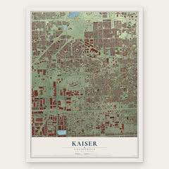
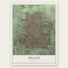
More maps nearby: San Antonio Heights, Fontana, Ontario, Claremont and Montclair.
The art of mapping a place
How This Map Was Made
Real places. Remarkable detail. Discover the layers that turn geographic data into a map of home.

The view from above
Aerial imagery reveals the character of the land: woodland, open fields, and the patterns of a place.

The shape of the land
Elevation data brings hills, valleys, and subtle changes in the landscape into view.

The details of home
Roads, waterways, and building footprints come together to make the map feel unmistakably local.

Geography becomes art
Considered color, shading, and typography bring the layers together in a map made for your wall.


Process illustrated with Mendon, Massachusetts. Aerial imagery: USDA NAIP. Terrain: USGS 3D Elevation Program. Map details and finished artwork: KNOWOL.
The Details
About This Print
Choose an archival matte print, or a black or white Ayous wood frame. The archival matte print is unframed.
Select your size and finish above to see the matching product image and price.
Materials & Craftsmanship
A contemporary map with the character of a classic atlas, printed on archival matte paper. Optional frames are made from Ayous wood.
Your printed map does not include the watermark shown in the full-map preview.
Shipping & Delivery
Free shipping within the United States. Every print is made to order in the USA.
Buying a gift? Add a note in your cart and we'll include it. We never put prices in the package.
Prints ship within 2 to 3 business days. Allow 7 to 10 days total from ordering for delivery. Timing may vary during holidays or periods of high order volume.
Read our shipping policy.
Returns and damaged prints
Each print is made to order. Change-of-mind refunds are not available after production.
If your print arrives damaged, misprinted or incorrect, contact support@knowol.com within 30 days of receiving it. Include your order number, photos and a description of the issue.
Read our full refund and replacement policy. For questions about your order, email support@knowol.com.