
Search for another town
Free U.S. delivery 7 to 10 days after you order
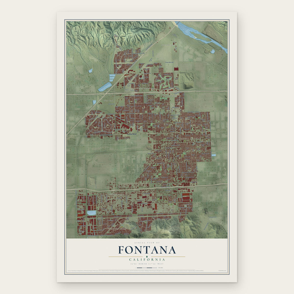
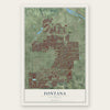
Fontana, California Map Art
Building by building, with labeled streets and shaded relief.
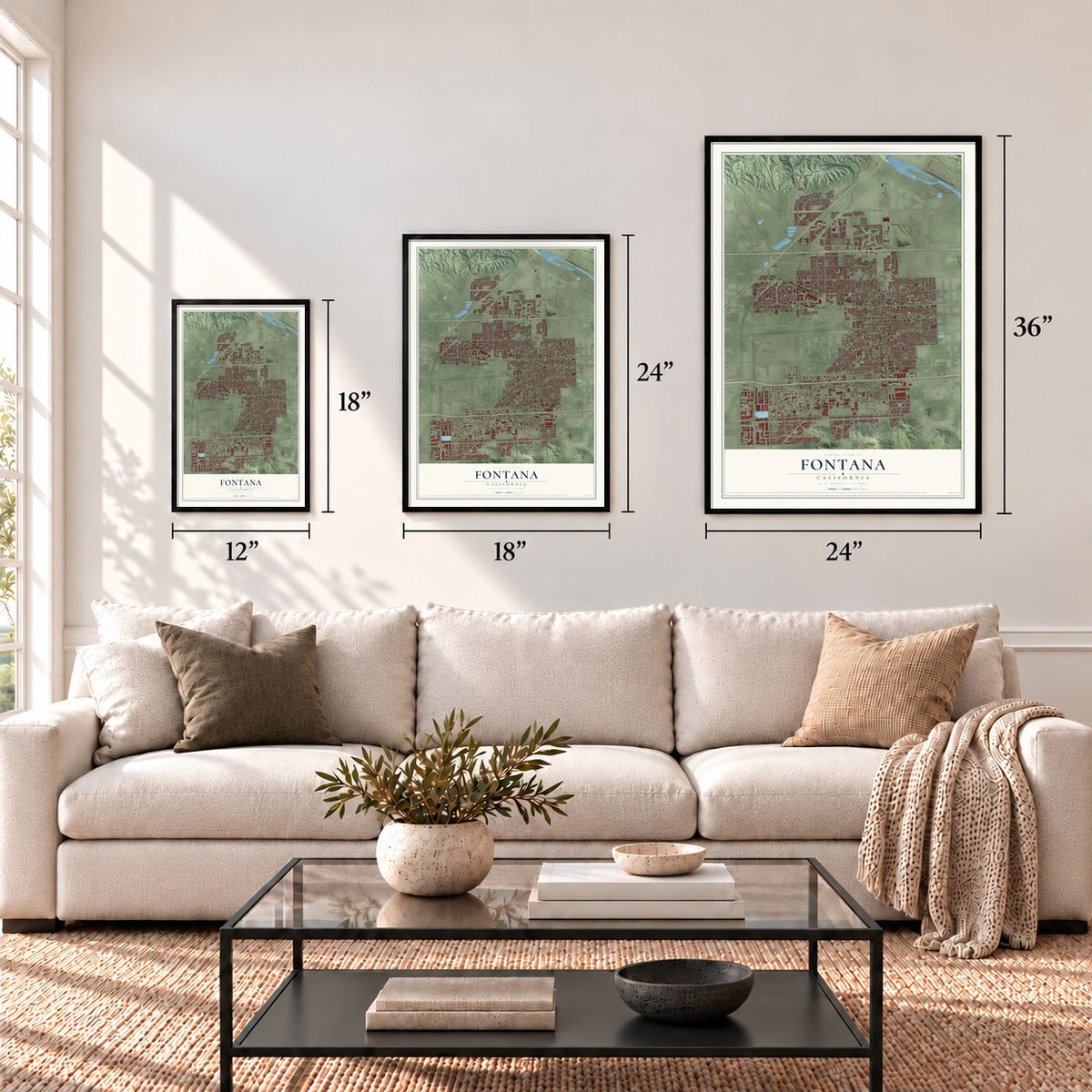
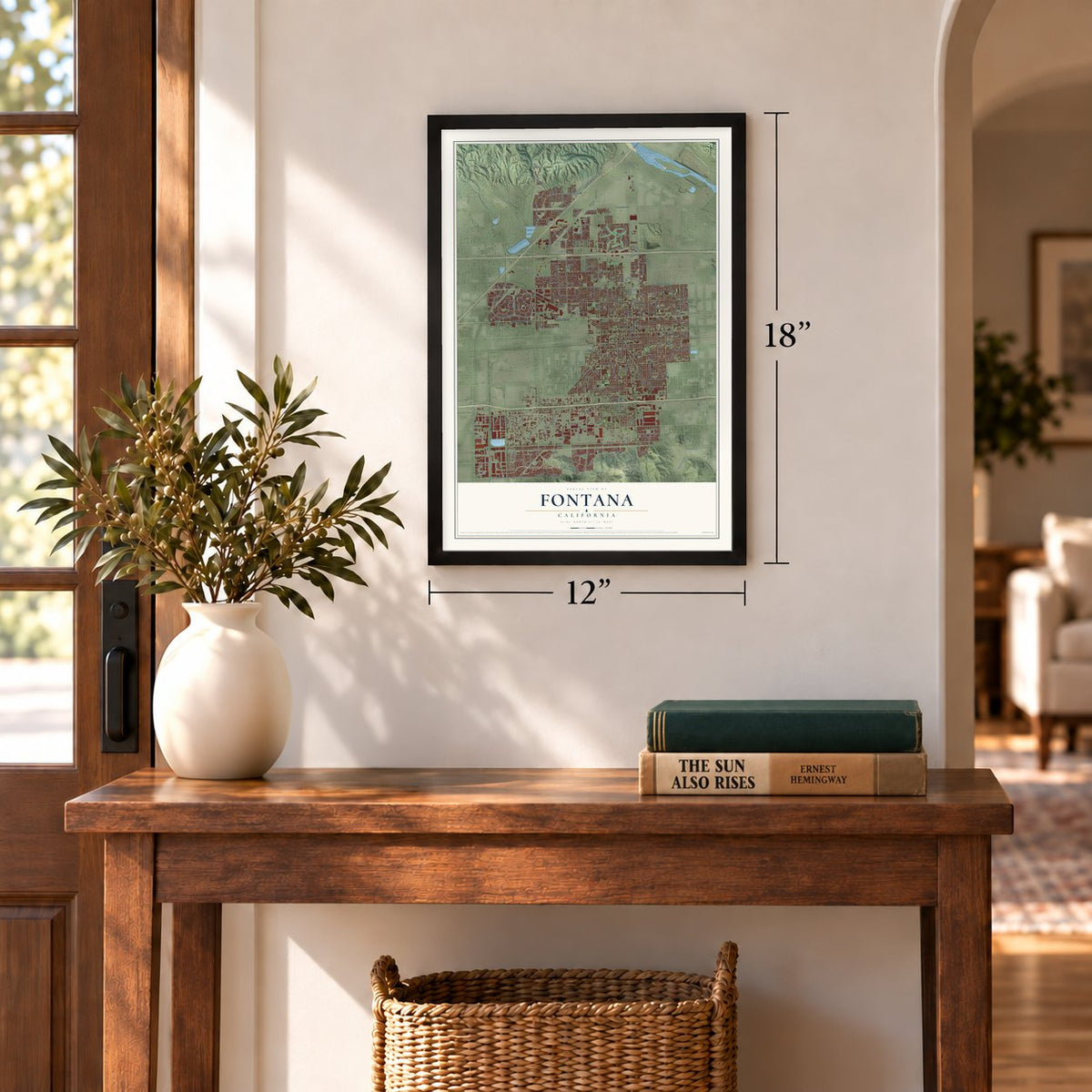
12" x 18" Archival Matte Print
A Map of Home. A Work of Art.
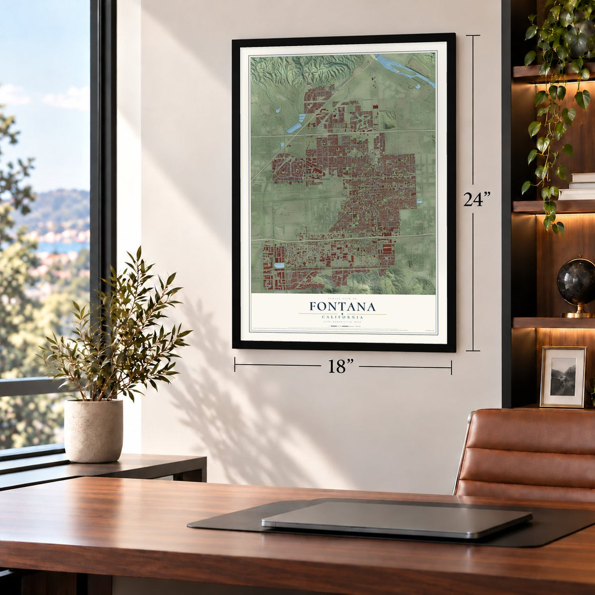
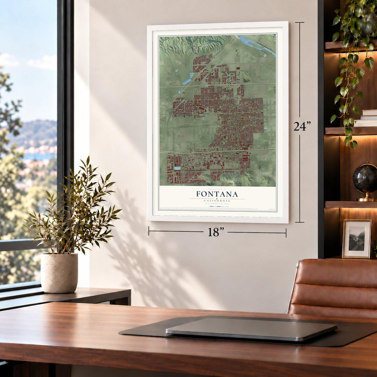
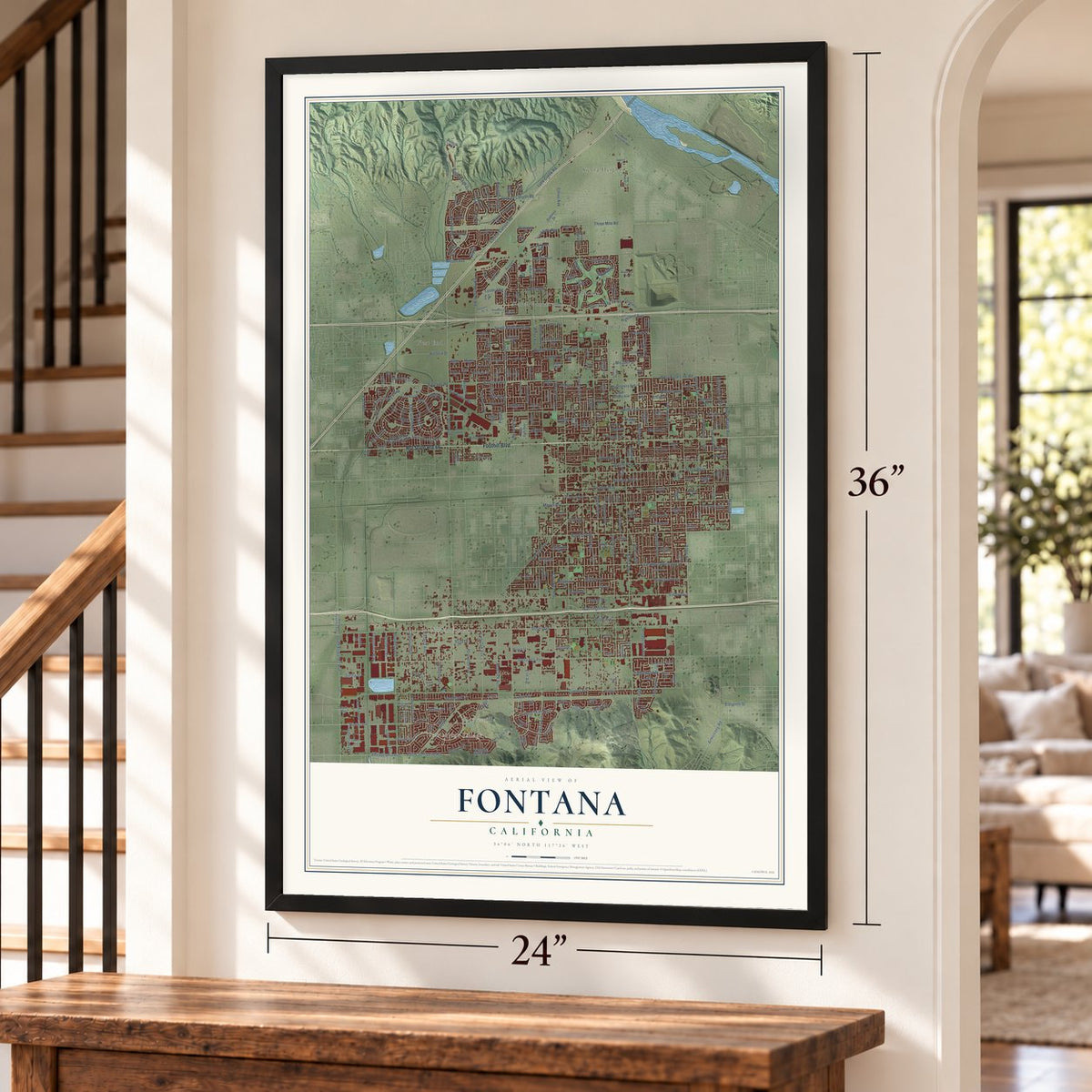
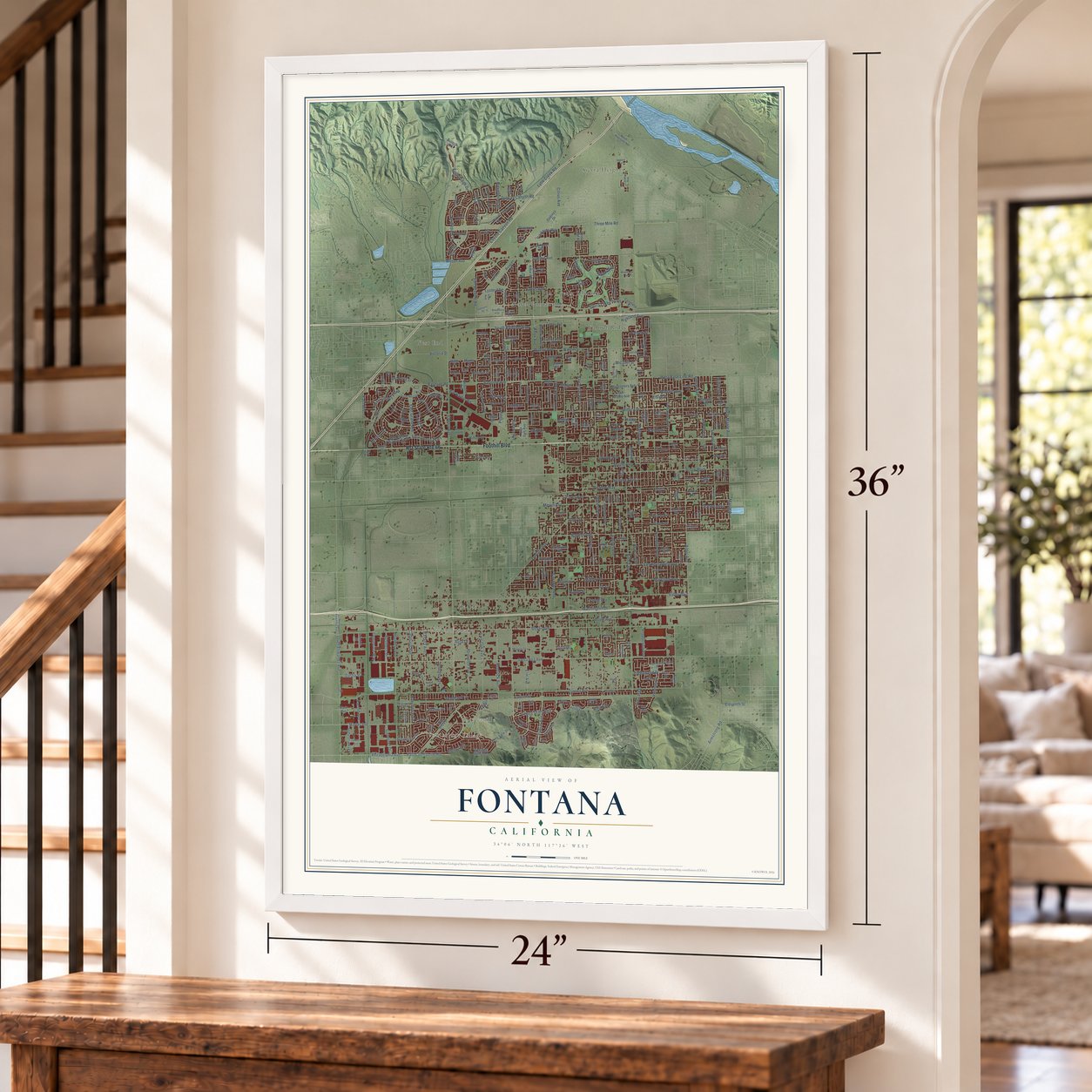
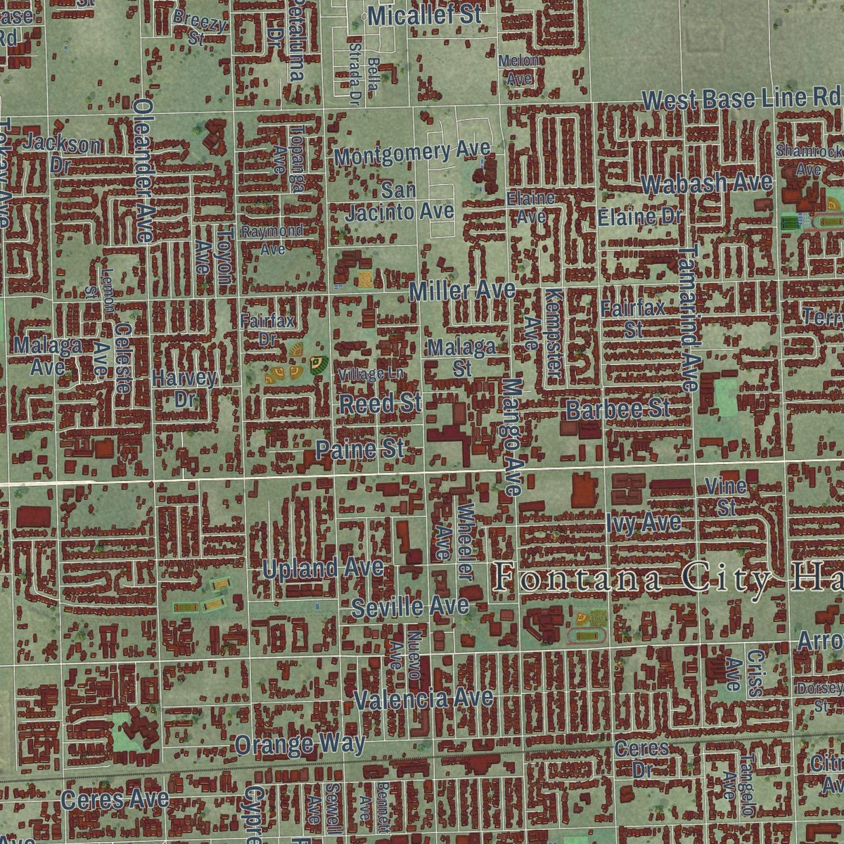
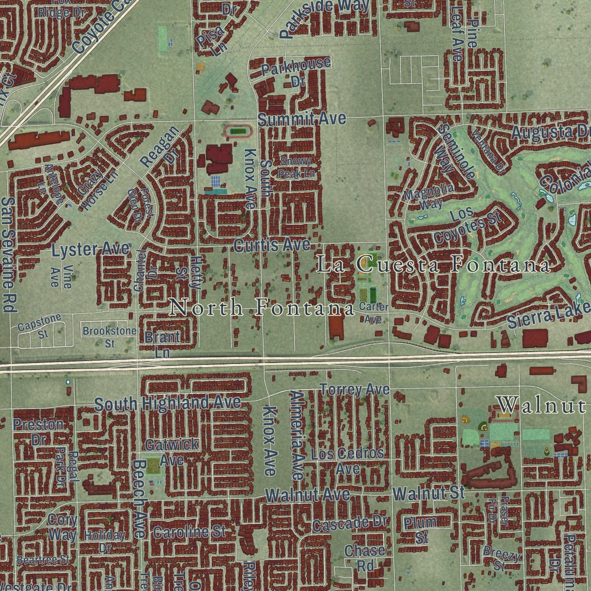
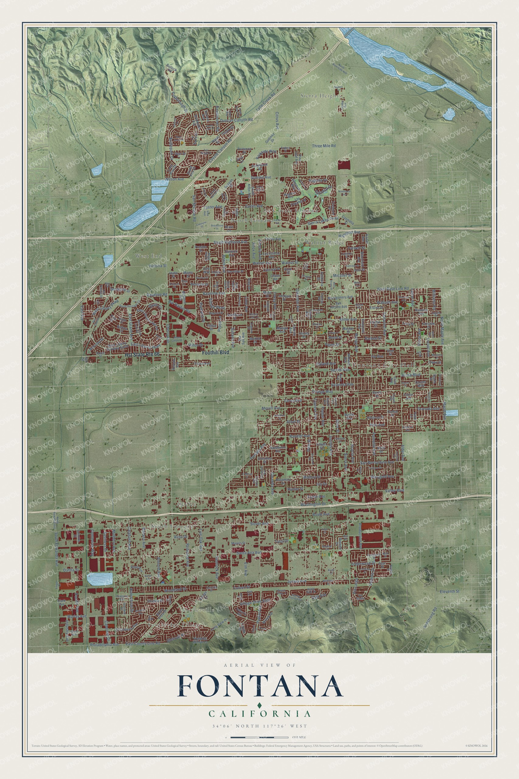
Explore Fontana, California from a whole new perspective. Created using aerial imagery and detailed geographic data, this map captures Fontana building by building, with labeled streets, familiar landmarks, and shaded topographical relief that highlights the natural contours of the landscape.
Combining modern data with the timeless character of a vintage atlas, this map is just as interesting up close as it is beautiful on the wall. Whether you grew up in Fontana, spent memorable years there, or call it home today, this unique map is a great way to celebrate a place that means something to you. Zoom in on the preview to look for your street, and then order a print to put your memories on the wall.
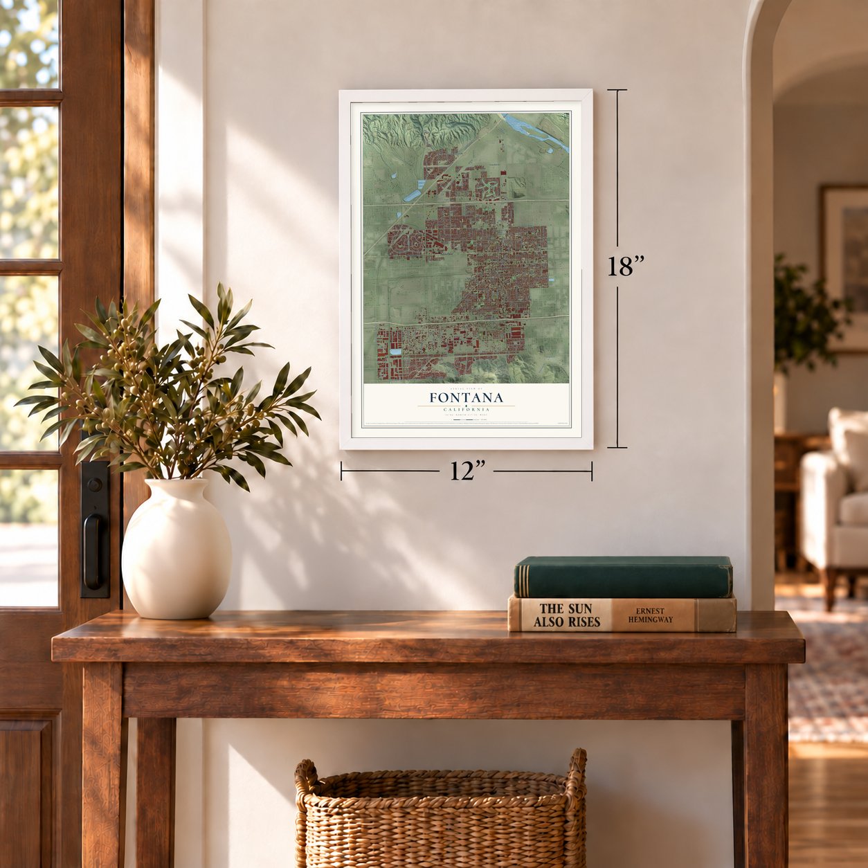
Three ways to hang it
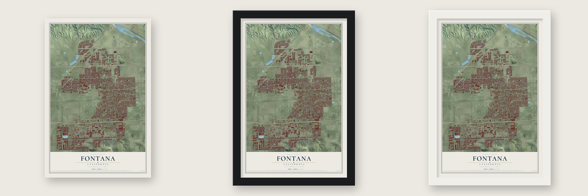
Unframed archival matte, a black wood frame or a white wood frame.
Up close
Geography Worth Displaying
This map was created using accurate cartographic data and authoritative geographic sources, including the U.S. Geological Survey and the Census Bureau. The map brings together terrain, waterways, roads, and building detail. The majority of the streets are labeled, houses are accurately depicted, and the topography is derived from government sources. Combining local data with carefully composed color and shading leads to this beautifully detailed Fontana artwork for your wall.
Rather than simply showing street outlines, we’ve included as many of the street names as we could reasonably fit on the map while keeping their names legible. Zoom in on the high resolution preview to see exactly what’s on the map. We truly set out to create a statement piece for anyone who loves Fontana. So whether it’s for you, or a gift for someone you love, we hope this map of Fontana brings back fond memories.
Read the story behind this map of Fontana, California from 2026.
Find your street
Names on the Fontana map
Every name below is printed on this map. Look for your street, your school, the park where you played, or the pond down the road.
Places and landmarks10
- Fontana City Hall
- Southridge Village
- Declezville
- Sierra Heights
- Declez
- La Cuesta Fontana
- North Fontana
- South Fontana
- Walnut Ridge
- West End
Streets and roads335
- Foothill Boulevard
- Hst State Route 66
- Cherry Avenue
- Mango Avenue
- Arrow Boulevard
- Pine Avenue
- Duncan Canyon Road
- Bridlepath Drive
- Foxborough Drive
- Acacia Avenue
- Rancherias Drive
- Sierra Avenue
- Citrus Avenue
- Cypress Avenue
- Jurupa Avenue
- Beech Avenue
- Slover Avenue
- Oleander Avenue
- Juniper Avenue
- Santa Ana Avenue
- Alder Avenue
- Miller Avenue
- Valley Boulevard
- Tamarind Avenue
- Palmetto Avenue
- Catawba Avenue
- Lytle Creek Road
- Live Oak Avenue
- Poplar Avenue
- Summit Avenue
Show all 335 streets
- Baseline Avenue
- Randall Avenue
- South Highland Avenue
- Hemlock Avenue
- Merrill Avenue
- Locust Avenue
- Almeria Avenue
- San Bernardino Avenue
- Upland Avenue
- Banana Avenue
- Laurel Avenue
- Boyle Avenue
- Elm Avenue
- Mulberry Avenue
- Athol Street
- Sierra Lakes Parkway
- Ceres Avenue
- Tokay Avenue
- Ivy Avenue
- Fontana Avenue
- Barbee Street
- Augusta Drive
- Redwood Avenue
- Valencia Avenue
- Orange Way
- South Etiwanda Avenue
- Marlay Avenue
- Almond Avenue
- Baseline Road
- Philadelphia Avenue
- East County Line Road
- Calabash Avenue
- Three Mile Road
- Knox Avenue
- Date Street
- Walnut Street
- Seville Avenue
- Lime Avenue
- East Liberty Parkway
- San Sevaine Road
- North Maple Avenue
- Washington Drive
- Iris Drive
- Coyote Canyon Road
- Highland Avenue
- Mallory Drive
- Walnut Avenue
- West Base Line Road
- Marygold Avenue
- Sultana Avenue
- Woodland Drive
- Pepper Avenue
- Reed Street
- West Liberty Parkway
- Granada Avenue
- Curtis Avenue
- East Avenue
- Victoria Street
- Paine Street
- Williams Road
- Maple Avenue
- Aliso Drive
- Olive Street
- Village Drive East
- Underwood Drive
- East Grand Avenue
- Pacific Avenue
- Parkside Way
- Village Parkway
- Roadrunner Road
- Wabash Avenue
- Volante Drive
- Coleen Street
- Bar Harbor Road
- Micallef Street
- Cabernet Drive
- Armstrong Road
- Production Avenue
- Hilton Drive
- Business Drive
- Commerce Way
- Lyster Avenue
- Poppy Lane
- Glenoak Place
- Plumaria Drive
- Eleventh Street
- Wilson Avenue
- Industry Avenue
- Farwell Street
- Del Norte Street
- Grace Avenue
- Dahlia Street
- Taylor Avenue
- Colonial Drive
- Gala Avenue
- Via Larga
- Hunter Street
- Quail Court
- Tyrol Drive
- East Lincoln Loop Road
- Maine Street
- Blanchard Avenue
- Montgomery Avenue
- Ramona Avenue
- San Jacinto Avenue
- Kempster Avenue
- Owen Street
- Hawthorne Avenue
- Kaiser Avenue
- Fairfax Street
- Long View Drive
- Jackson Drive
- Elaine Drive
- Holly Drive
- El Contento Avenue
- Hibiscus Street
- Vine Street
- Green Vista Drive
- Weeping Willow Lane
- Shadow Drive
- Filbert Street
- Village Drive
- Wheeler Avenue
- Los Cedros Avenue
- Rosemary Drive
- Rose Avenue
- Malaga Street
- Fairview Drive
- West Liberty Parkway South
- Cascade Drive
- Citron Avenue
- Willow Drive
- Grevillea Street
- Palm Lane
- Torrey Avenue
- Harvey Drive
- Toyon Avenue
- Jasmine Street
- Sandhurst Street
- Orchid Drive
- Grand Prix Court
- Fern Street
- Dorsey Way
- Seminole Way
- Brookside Avenue
- Los Coyotes Street
- South Knox Avenue
- Terry Street
- Westgate Drive
- La Sarre Drive
- Parkhouse Drive
- McKinley Drive
- Pine Leaf Avenue
- Caroline Street
- McGuire Avenue
- Bullock Road
- Firestone Drive
- Casmalia Street
- Yucca Avenue
- Celeste Avenue
- Gatwick Avenue
- Sea Salt Avenue
- Petaluma Drive
- Godinez Drive
- Reagan Drive
- Mesa Drive
- Thistle Street
- Manila Street
- Lone Pine Drive
- Portenza Drive
- Monica Court
- Spohn Drive
- Deer Drive
- Tobarra Road
- Malaga Avenue
- Balboa Court
- Reseda Avenue
- Loyola Court
- Serrano Avenue
- Riley Drive
- Preston Drive
- Brant Lane
- Bennett Drive
- Oak Tree Place
- Hawk Street
- Indian Drive
- Chase Road
- Martin Avenue
- Plum Street
- Pear Street
- Ceres Drive
- Hetty Street
- Clark Avenue
- Idaho Street
- Criss Avenue
- Pico Court
- Pisa Lane
- Cory Way
- Ilex Street
- Ivy Street
- West Lincoln Loop Road
- Catawba Drive
- Iowa Lane
- Tangelo Avenue
- Sewell Avenue
- Nuevo Avenue
- South Heritage Circle
- Tullock Street
- Fontlee Lane
- Chaparral Avenue
- Candor Avenue
- Cerritos Street
- Dianthus Avenue
- Fox Ridge Drive
- Eugenia Drive
- Overland Drive
- Lurelane Street
- Begonia Drive
- North Etiwanda Avenue
- Daylilly Street
- Sycamore Avenue
- North Riverside Avenue
- Magnolia Way
- Andrea Street
- Camellia Drive
- Orlando Drive
- Regal Park Drive
- Las Palmas Drive
- Torreypine Street
- Winery Drive
- Holiday Drive
- Elaine Avenue
- Apple Gate Drive
- Cherry Leaf Lane
- Crazy Horse Lane
- Chantel Drive
- Via Bonita
- Tahan Way
- Eugenia Avenue
- Birch Tree Place
- Arizona Street
- Topanga Avenue
- Peach Tree Lane
- Laguna Place
- Union Avenue
- Burl Drive
- Enders Street
- Breezy Street
- Vine Avenue
- Colt Avenue
- Ash Drive
- Bayleaf Lane
- Dodge Court
- Fairfax Drive
- Filippi Lane
- Bowie Street
- Kraft Lane
- Bark Street
- Bay Street
- Monterra Avenue
- Capstone Street
- Windcrest Drive
- Bennett Avenue
- Lombardy Avenue
- Carter Avenue
- Lemon Street
- Cypress Avenue East
- Briarwood Avenue
- Bella Strada Drive
- Concord Avenue
- Dumond Drive
- Beartree Street
- Raymond Avenue
- El Molino Street
- Meyer Canyon Drive
- Shamrock Avenue
- Bear Creek Drive
- Bolero Drive
- Frankfort Street
- McCauley Street
- Hawk Ridge Avenue
- Windflower Avenue
- Lacebark Street
- Spohn Avenue
- Brookstone Street
- Ventana Drive
- Village Lane
- Katherine Street
- Forest Glen Drive
- Antelope Lane
- Nova Scotia Drive
- Savona Drive
- Montreal Drive
- Snowy Peak Lane
- Mango Drive
- Segovia Lane
- Honey Pine Lane
- Dorsey Street
- Fraser Fir Drive
- Ocean Street
- Melon Avenue
- Tyler Lane
- Pecan Lane
- Durian Avenue
- Sugar Lane
Names are listed as they appear on the printed map. Zoom into the product photos to find them.
About Fontana, California
Fontana is a city of 208,393 people in San Bernardino County, about 46 miles east of Los Angeles. The place was known as Rosena from 1890 until 1919, when Azariel Blanchard Miller founded the town and gave it an Italian name that means fountain or water source. Within a few years it had become a farm town of orange groves, vineyards and chicken ranches on U.S. Route 66, the road now called Foothill Boulevard.
Fontana stayed mostly rural until World War II. During the war, Henry J. Kaiser built his Kaiser Steel plant on land past the edge of the city, and only one other steel mill then stood west of the Mississippi River. Kaiser also built the Fontana Kaiser Permanente medical facility to care for his workers. Auto Club Speedway was later built on the old mill site, while part of the plant still makes steel for California Steel Industries.
“In March 1928, the Federal Government established the first and only experimental station in the United States devoted solely to research on the breeding and raising of rabbits on a five-acre property donated by A. B. Miller of Fontana.”
- A theater from 1937Architect C. H. Boller designed the Art Deco Fontana movie theater in 1937. After decades of other uses, the city council set aside $6,000,000 to turn it into a live dinner theater, and it reopened on July 25, 2008. It closed in 2022 for another overhaul and came back in 2024 as Stage Red, named for Sammy Hagar, who grew up in Fontana and played on opening night.
- Fontana Drag CityIn the 1950s and 1960s, Mickey Thompson's Fontana International Dragway ran races on the NHRA circuit, and locals called it Drag City or the Fontana Drag Strip. That strip is gone, but in mid-2006 the owners of Auto Club Speedway opened a new NHRA drag strip just outside the city.
- A freight depot from 1915The Pacific Electric Railway built a freight depot in Fontana in 1915. Today it is the Art Depot, one of the city's original community centers, where people take art classes and work in open studios. It stands in the Helen Putnam Historical Plaza beside the Pacific Electric Trail.
Keep exploring California
Fontana is one of 1,990 California towns we've mapped. Every dot on the map is a print of its own.
The search covers every state, California first.
Near Fontana
Order 2 or more town maps and save 10%. Shown in the size and finish you picked above, so they hang as a set.
- Kaiser 12" x 18" / Archival Matte Print $39.99
- Rialto 12" x 18" / Archival Matte Print $39.99
- Bloomington 12" x 18" / Archival Matte Print $39.99
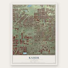
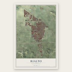
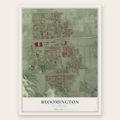
More maps nearby: Rancho Cucamonga, Muscoy, Jurupa Valley, Verdemont and Alta Loma.
The art of mapping a place
How This Map Was Made
Real places. Remarkable detail. Discover the layers that turn geographic data into a map of home.

The view from above
Aerial imagery reveals the character of the land: woodland, open fields, and the patterns of a place.

The shape of the land
Elevation data brings hills, valleys, and subtle changes in the landscape into view.

The details of home
Roads, waterways, and building footprints come together to make the map feel unmistakably local.

Geography becomes art
Considered color, shading, and typography bring the layers together in a map made for your wall.


Process illustrated with Mendon, Massachusetts. Aerial imagery: USDA NAIP. Terrain: USGS 3D Elevation Program. Map details and finished artwork: KNOWOL.
The Details
About This Print
Choose an archival matte print, or a black or white Ayous wood frame. The archival matte print is unframed.
Select your size and finish above to see the matching product image and price.
Materials & Craftsmanship
A contemporary map with the character of a classic atlas, printed on archival matte paper. Optional frames are made from Ayous wood.
Your printed map does not include the watermark shown in the full-map preview.
Shipping & Delivery
Free shipping within the United States. Every print is made to order in the USA.
Buying a gift? Add a note in your cart and we'll include it. We never put prices in the package.
Prints ship within 2 to 3 business days. Allow 7 to 10 days total from ordering for delivery. Timing may vary during holidays or periods of high order volume.
Read our shipping policy.
Returns and damaged prints
Each print is made to order. Change-of-mind refunds are not available after production.
If your print arrives damaged, misprinted or incorrect, contact support@knowol.com within 30 days of receiving it. Include your order number, photos and a description of the issue.
Read our full refund and replacement policy. For questions about your order, email support@knowol.com.