
Search for another town
Free U.S. delivery 7 to 10 days after you order
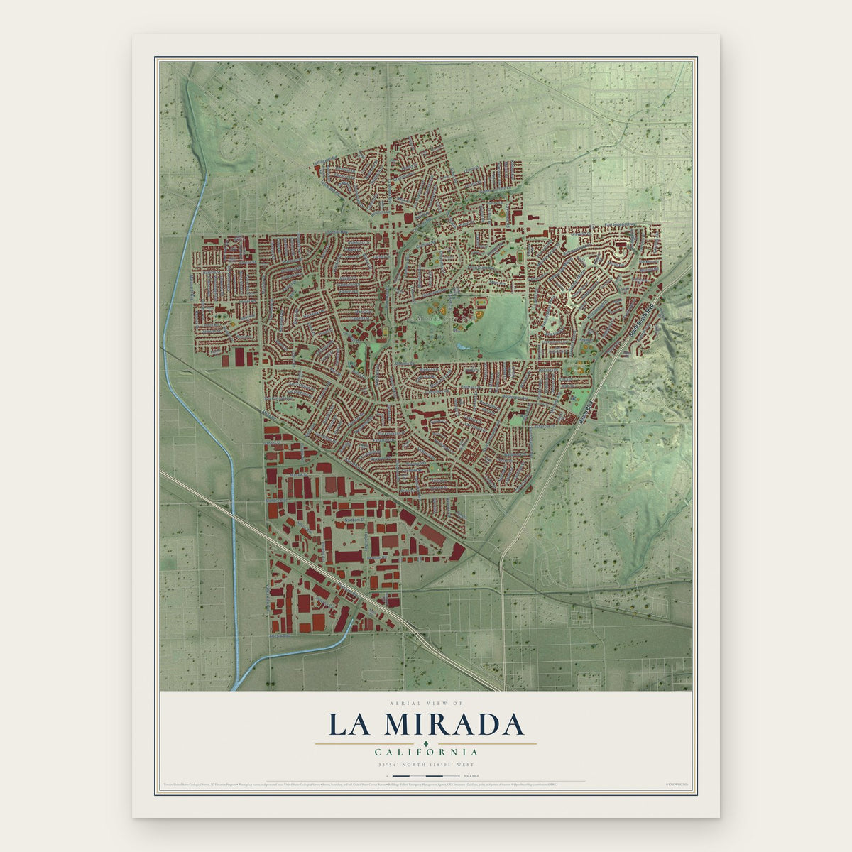
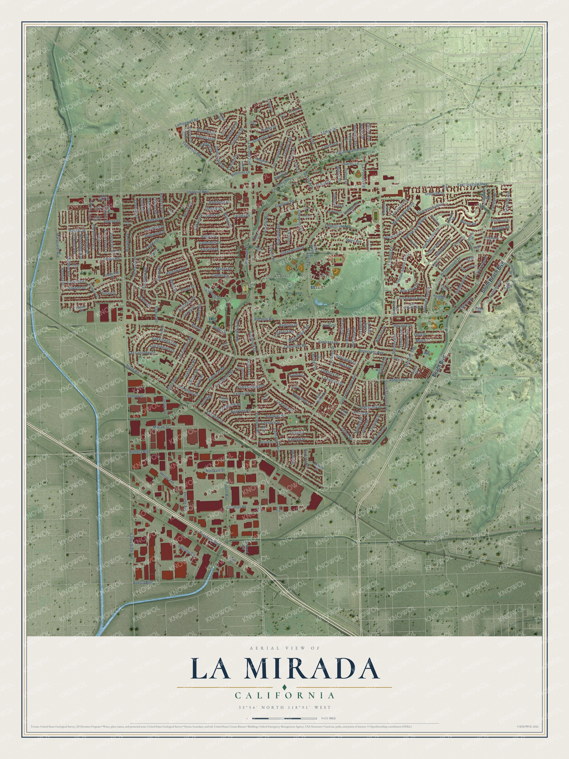
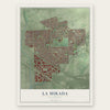
La Mirada, California Map Art
Building by building, with labeled streets and shaded relief.
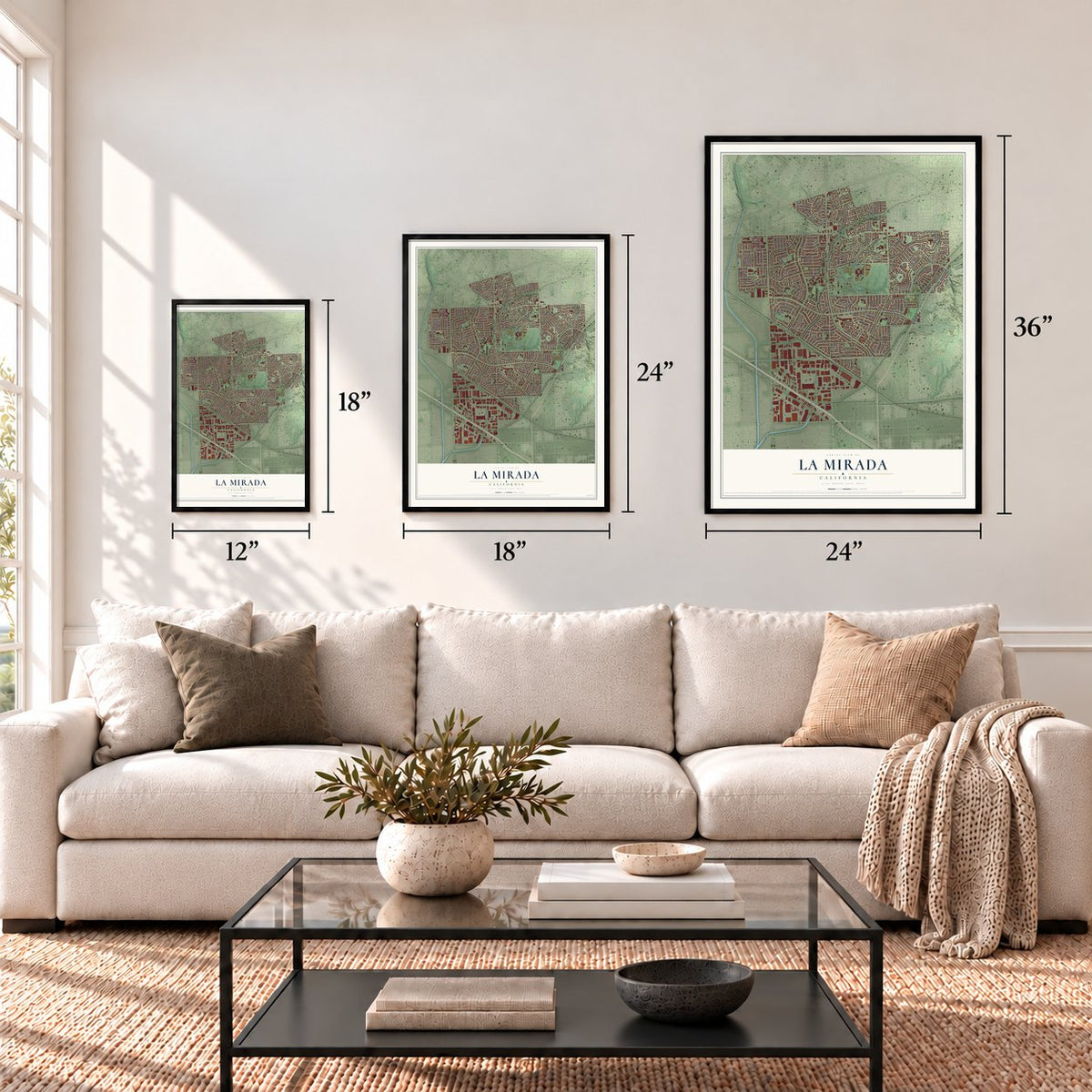
12" x 18" Archival Matte Print
A Map of Home. A Work of Art.
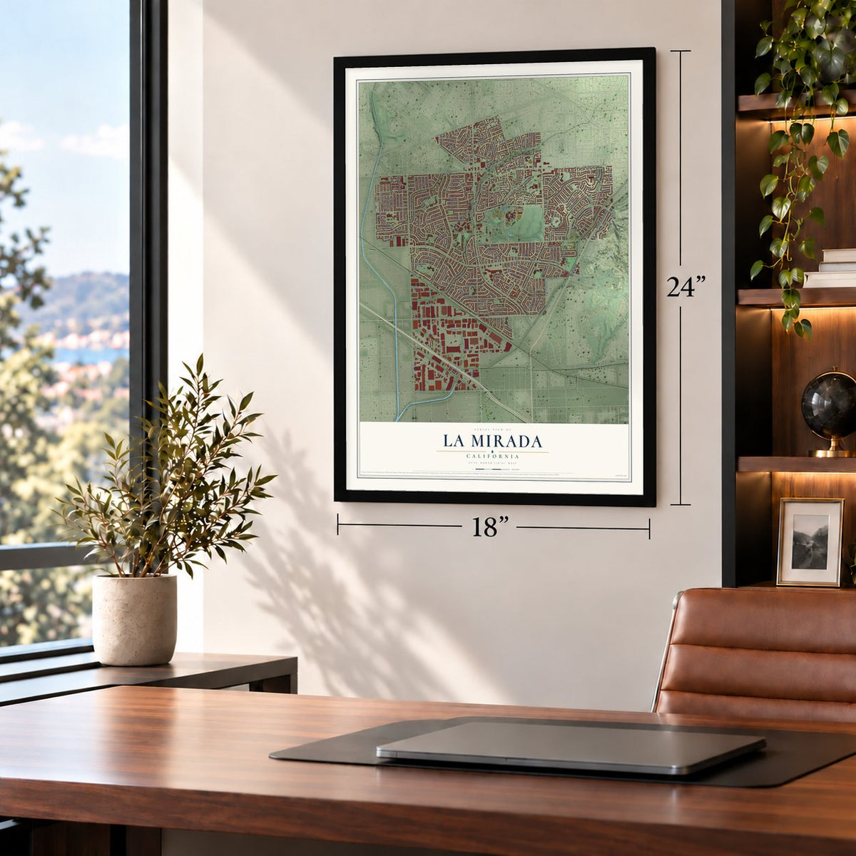
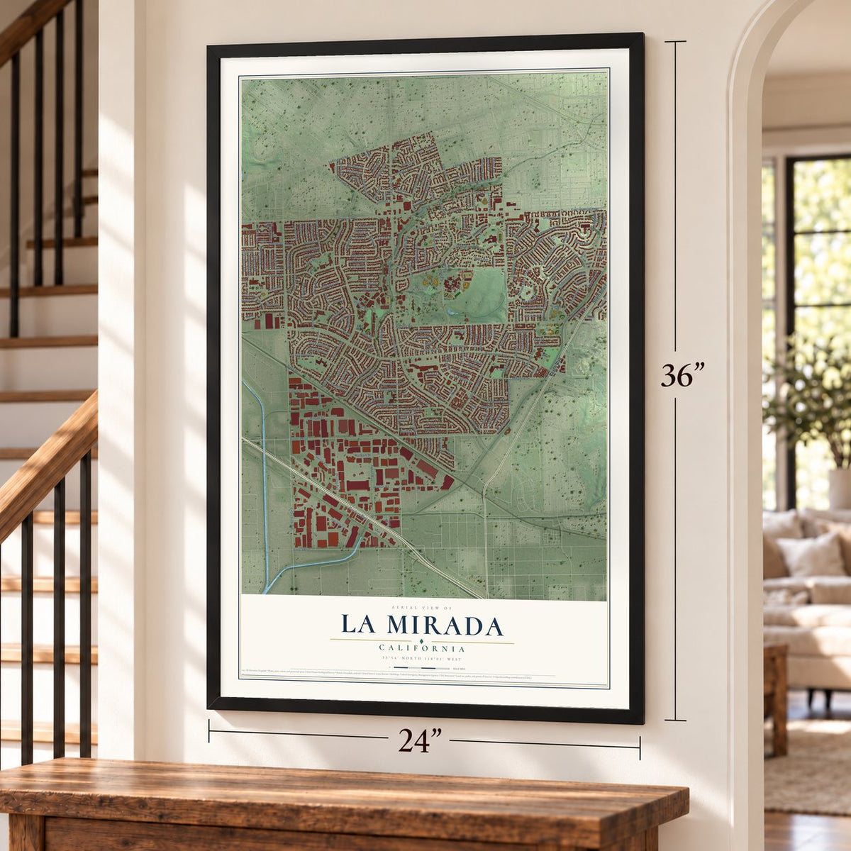
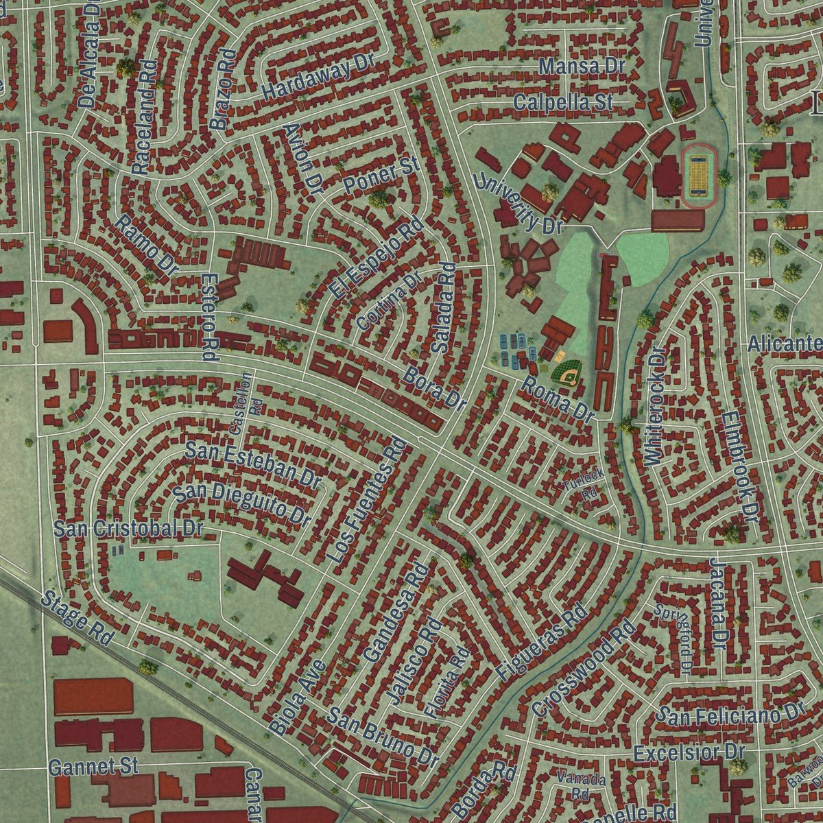
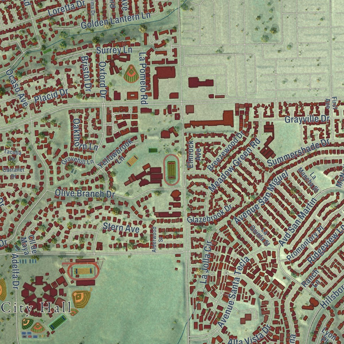
Explore La Mirada, California from a whole new perspective. Created using aerial imagery and detailed geographic data, this map captures La Mirada building by building, with labeled streets, familiar landmarks, and shaded topographical relief that highlights the natural contours of the landscape.
Combining modern data with the timeless character of a vintage atlas, this map is just as interesting up close as it is beautiful on the wall. Whether you grew up in La Mirada, spent memorable years there, or call it home today, this unique map is a great way to celebrate a place that means something to you. Zoom in on the preview to look for your street, and then order a print to put your memories on the wall.
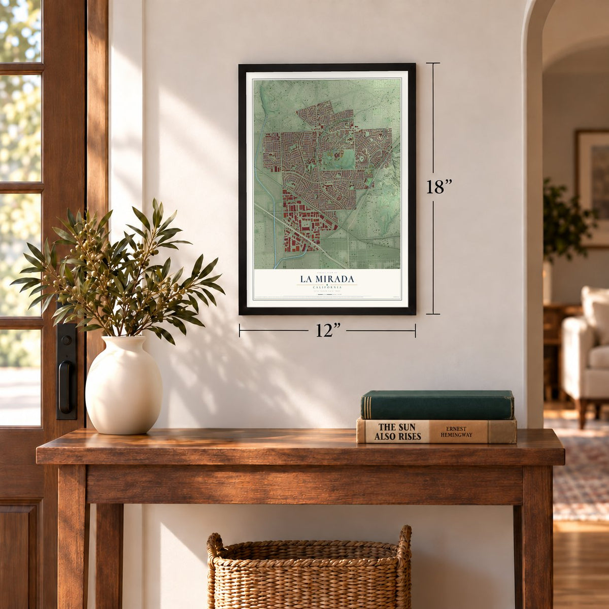
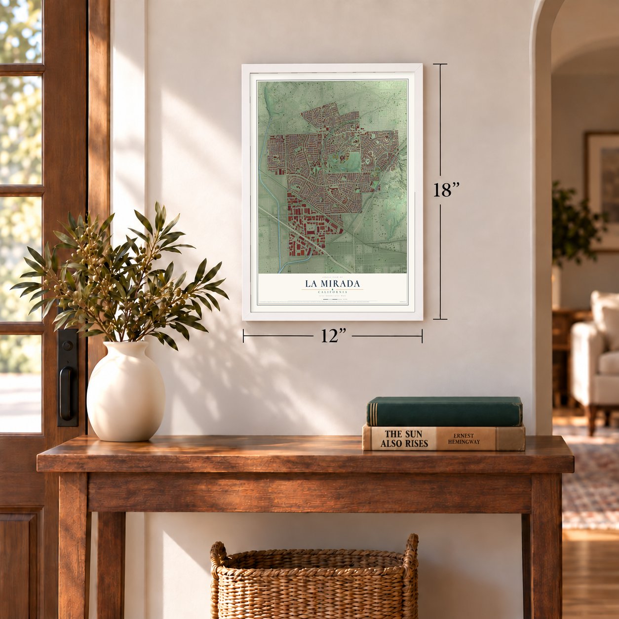
Three ways to hang it
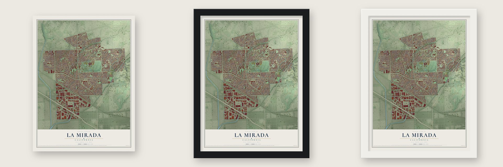
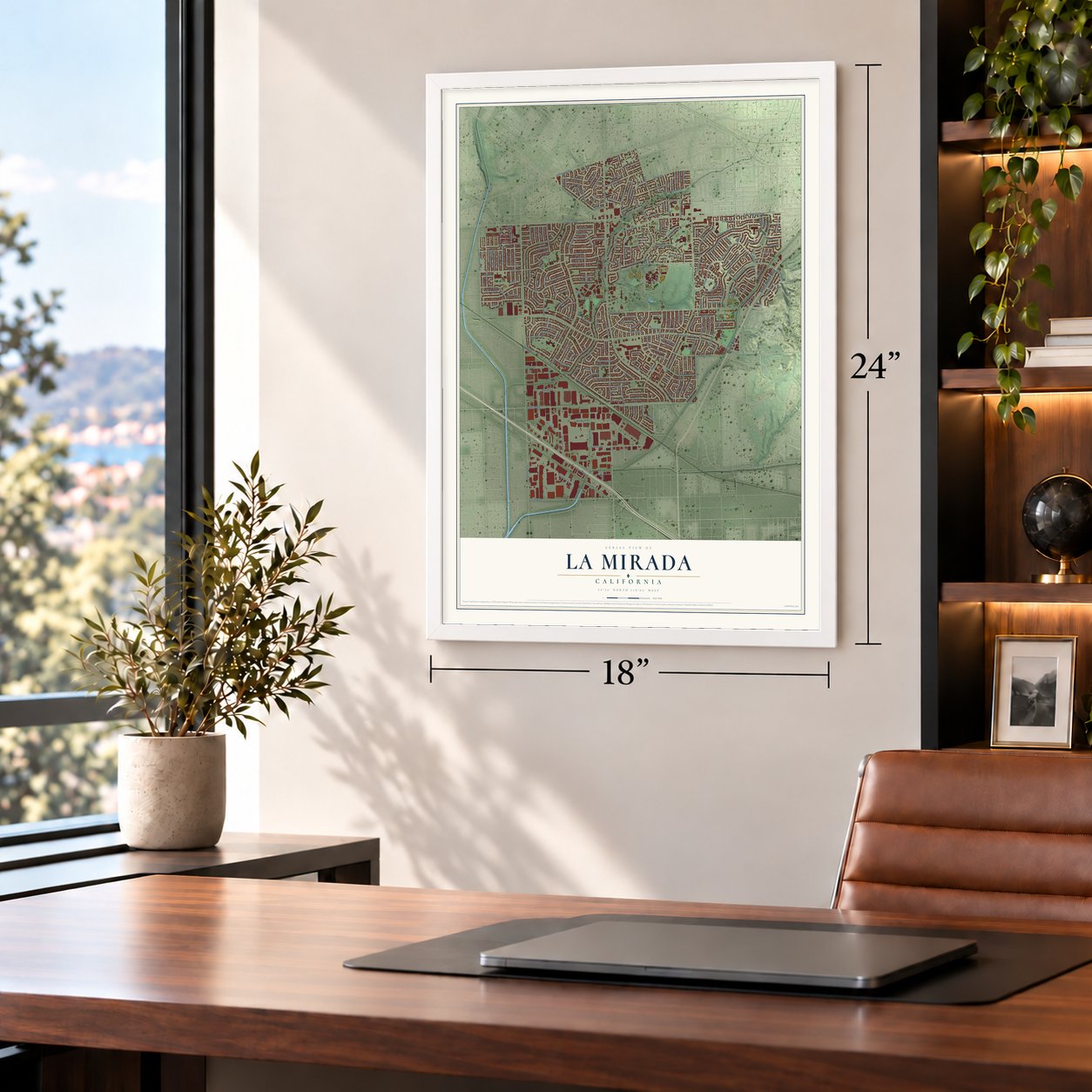
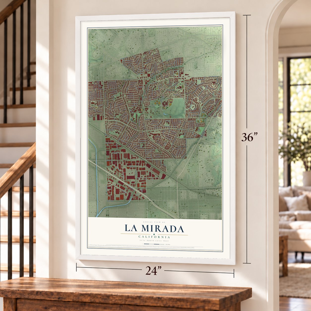
Unframed archival matte, a black wood frame or a white wood frame.
Up close
Geography Worth Displaying
This map was created using accurate cartographic data and authoritative geographic sources, including the U.S. Geological Survey and the Census Bureau. The map brings together terrain, waterways, roads, and building detail. The majority of the streets are labeled, houses are accurately depicted, and the topography is derived from government sources. Combining local data with carefully composed color and shading leads to this beautifully detailed La Mirada artwork for your wall.
Rather than simply showing street outlines, we’ve included as many of the street names as we could reasonably fit on the map while keeping their names legible. Zoom in on the high resolution preview to see exactly what’s on the map. We truly set out to create a statement piece for anyone who loves La Mirada. So whether it’s for you, or a gift for someone you love, we hope this map of La Mirada brings back fond memories.
Read the story behind this map of La Mirada, California from 2026.
Find your street
Names on the La Mirada map
Every name below is printed on this map. Look for your street, your school, the park where you played, or the pond down the road.
Places and landmarks2
- La Mirada City Hall
- Behringer Park
Streets and roads279
- South Beach Boulevard
- Beach Boulevard
- Valley View Avenue
- Alondra Boulevard
- Firestone Boulevard
- Ocaso Avenue
- San Ardo Drive
- San Feliciano Drive
- Goldendale Drive
- Gandesa Road
- South Stanton Avenue
- Alicante Road
- Ashgrove Drive
- Avd San Martin
- Ramsey Drive
- Wicker Drive
- Macaw Street
- La Mirada Boulevard
- Rosecrans Avenue
- East Imperial Highway
- Foster Road
- Santa Gertrudes Avenue
- Biola Avenue
- Stage Road
- Imperial Highway
- Mansa Drive
- Adelfa Drive
- Bora Drive
- Grayville Drive
- Valeda Drive
Show all 279 streets
- Leffingwell Road
- Elmbrook Drive
- Bluefield Avenue
- Artesia Boulevard
- Greenworth Drive
- Hillsborough Drive
- University Drive
- Highpoint Drive
- Industry Circle
- De Alcala Drive
- Gardenhill Drive
- Tacuba Drive
- Telegraph Road
- Northam Street
- Stanton Avenue
- Fonseca Avenue
- Trojan Way
- Marquardt Avenue
- Escalona Road
- Avenue San Miguel
- Summershade Drive
- Phoebe Avenue
- Barnwall Street
- Oxford Drive
- Cheshire Street
- Heflin Drive
- San Bruno Drive
- Excelsior Drive
- Desman Road
- Figueras Road
- Dalmatian Avenue
- San Esteban Drive
- Crosswood Road
- Weeks Drive
- Heron Avenue
- Duffield Avenue
- Stamy Road
- Fairvilla Drive
- Adoree Street
- Hayford Street
- La Barca Drive
- Badlona Drive
- Watkins Drive
- Pastrana Drive
- Lemon Drive
- Fairacres Drive
- Loretta Drive
- Gagely Drive
- Neartree Road
- Rayfield Drive
- Plantana Drive
- Visions Drive
- Oakbury Drive
- Estero Road
- El Espejo Road
- Manzanares Road
- Singleton Drive
- Whiterock Drive
- Avenue Santa Tecla
- Parise Drive
- Lorca Road
- Granada Avenue
- Olive Branch Drive
- La Fonda Drive
- Los Coyotes Avenue
- Lofthill Drive
- Barbata Road
- Mottley Drive
- Ramhurst Drive
- San Cristobal Drive
- Alta Vista Drive
- Calpella Street
- Mercado Avenue
- Ratliffe Street
- Canary Avenue
- Woodridge Avenue
- Rosalita Drive
- Meadow Green Road
- Fairhope Drive
- Murphy Road
- Los Fuentes Road
- Talbot Drive
- Manecita Drive
- Jalisco Road
- Bona Vista Lane
- Riviera Lane
- Pescados Drive
- Marlette Drive
- Campillos Road
- Avenue Espana
- La Capelle Road
- Edwards Road
- Hardaway Drive
- Ragan Drive
- El Moro Avenue
- Dunnet Avenue
- La Jolla Circle
- Stanbrook Drive
- La Fortuna Drive
- Richvale Drive
- Avion Drive
- Burgess Avenue
- La Mesa Drive
- Roma Drive
- Tricia Lane
- Ridgeview Lane
- Hollyview Drive
- Golden Lantern Lane
- Aranza Drive
- Univerity Drive
- Brazo Road
- Gabbett Drive
- Jacana Drive
- Corley Drive
- Clearwood Avenue
- Salada Road
- Tanfield Drive
- Orsa Drive
- Courser Avenue
- Illora Drive
- Francisco Drive
- Surrey Lane
- Calverton Drive
- Raceland Road
- Jalon Road
- Hesse Drive
- San Dieguito Drive
- Larwin Road
- McGill Road
- Stern Avenue
- Coolbank Drive
- Lisburn Place
- Ramo Drive
- Cartela Drive
- Dilworth Street
- Mart Drive
- Kibbee Avenue
- Poner Street
- Caravaca Road
- Los Reyes Avenue
- Creekside Place
- Hartdale Avenue
- La Pomelo Road
- Mayes Drive
- Gannet Street
- Cordova Road
- Grayling Avenue
- Normandy Lane
- Cheverton Drive
- Ermita Avenue
- Chadsey Drive
- Starpath Drive
- Stanhill Drive
- Placid Drive
- Colima Road
- Oakthorn Lane
- Hutchins Drive
- Larrylyn Drive
- Bristol Drive
- Borego Drive
- Borda Road
- Erin Lane
- Costa Mesa Drive
- Las Flores Avenue
- Blackburn Drive
- Promontory Place
- La Pluma Drive
- Steprock Drive
- Florita Road
- Sabine Drive
- Cortina Drive
- Breezewood Drive
- Yellowbrook Lane
- Las Palmeras Avenue
- Alpine Place
- Glazebrook Drive
- Toerge Drive
- Elmrock Avenue
- Spindlewood Drive
- Penford Drive
- Lake Forest Avenue
- Gladeside Drive
- San Simon Lane
- Bridgewood Drive
- Keypoint Place
- Lake Park Way
- Osmond Avenue
- San Antonio Avenue
- Westin Lane
- Rimrock Drive
- Lynmark Street
- Hillsboro Drive
- Norbeck Drive
- Lake View Drive
- Plume Drive
- Greystone Drive
- Badajoz Drive
- La Sabana Drive
- Las Puertas Street
- Ranch Lane
- Lyon Place
- McNally Road
- Laguna Street
- Cll de Maya
- Faceta Drive
- Arroyo Drive
- Fada Drive
- Adler Road
- Snell Street
- Sunnybrook Lane
- Formby Drive
- Oakwood Lane
- Springford Drive
- Vanada Road
- Matisse Circle
- Castellon Road
- First Avenue
- Belcher Street
- Brookstone Circle
- Armsdale Avenue
- Muroc Street
- Grovehill Lane
- Lake Glen Drive
- Crete Drive
- Olivemill Road
- La Quinta Street
- Lowe Drive
- Omally Court
- Libra Drive
- La Mancha Street
- Gerber Avenue
- Derwin Drive
- Manors Place
- Dolly Avenue
- Gayview Drive
- La Cima Drive
- Campina Lane
- Lake Side Drive
- Alderwood Street
- Terracedale Drive
- Castanet Drive
- Barwood Drive
- Chalco Street
- Tacuba Lane
- Leisure Drive
- Turlock Road
- Sarco Drive
- Knott Avenue
- Graff Drive
Names are listed as they appear on the printed map. Zoom into the product photos to find them.
About La Mirada, California
La Mirada is a city of 48,008 people in southeast Los Angeles County, on the Orange County line. Its name is Spanish for "the look." In 1888 Andrew McNally, the Chicago printer and mapmaker of Rand McNally, paid $200,000 for more than 2,200 acres of Rancho Los Coyotes south of Whittier. He turned 700 acres into his own home, Windermere Ranch, and ringed it with olive, orange and lemon groves. He also built an olive oil plant and a train station on Stage Road, so his oil and fruit could ship across the country.
The farm town stayed small for decades. A 1946 Santa Fe railroad guide counted just 213 people among its groves, oil wells and packing houses. In 1954 builder Louis M. Halper bought 2,100 acres for $8,000,000 and planned schools, shopping centers and 10,000 homes. He sold land to other builders and formed the La Mirada Civic Council to guard quality. By 1960 the town had grown from 100 homes to more than 8,000. It became a city under the name Mirada Hills on March 23, 1960. Voters chose La Mirada that November 8, and the new name was certified on December 15.
- Windermere Ranch to Neff ParkIn 1896 McNally handed his land to his daughter and her husband, Edwin Neff. The two men formed the La Mirada Land Company to sell parcels. Its booklet, "The Country Gentleman in California," showed pictures and a map of the olive, alfalfa, lemon and grapefruit groves. McNally's old ranch home is now the site of Neff Park.
- A completely planned cityIn the early 1950s La Mirada was called "the Nation's completely planned city," and the State Fair praised its planning. Harold L. Shaw had started the first development here. In 1953 developers bought the land for $5.2 million, among the largest real estate sales California had seen. Halper's three and four bedroom houses later went for about $13,000.
- Stryper's hometown, 1981Brothers Michael and Robert Sweet and Oz Fox formed a band in La Mirada in 1981 called Roxx Regime. It became the heavy metal band Stryper.
- Biola UniversityLa Mirada is home to Biola University, an evangelical Christian school. Visitors also come to the city for the Splash! La Mirada Regional Aquatics Center and the La Mirada Theatre for the Performing Arts.
Keep exploring California
La Mirada is one of 1,990 California towns we've mapped. Every dot on the map is a print of its own.
The search covers every state, California first.
Near La Mirada
Order 2 or more town maps and save 10%. Shown in the size and finish you picked above, so they hang as a set.
- East Whittier 12" x 18" / Archival Matte Print $39.99
- East La Mirada 12" x 18" / Archival Matte Print $39.99
- South Whittier 12" x 18" / Archival Matte Print $39.99
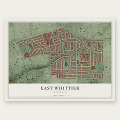
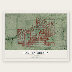
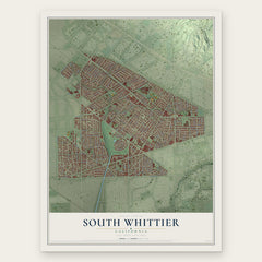
More maps nearby: Buena Park, La Habra, Santa Fe Springs, La Palma and Cerritos.
The art of mapping a place
How This Map Was Made
Real places. Remarkable detail. Discover the layers that turn geographic data into a map of home.

The view from above
Aerial imagery reveals the character of the land: woodland, open fields, and the patterns of a place.

The shape of the land
Elevation data brings hills, valleys, and subtle changes in the landscape into view.

The details of home
Roads, waterways, and building footprints come together to make the map feel unmistakably local.

Geography becomes art
Considered color, shading, and typography bring the layers together in a map made for your wall.


Process illustrated with Mendon, Massachusetts. Aerial imagery: USDA NAIP. Terrain: USGS 3D Elevation Program. Map details and finished artwork: KNOWOL.
The Details
About This Print
Choose an archival matte print, or a black or white Ayous wood frame. The archival matte print is unframed.
Select your size and finish above to see the matching product image and price.
Materials & Craftsmanship
A contemporary map with the character of a classic atlas, printed on archival matte paper. Optional frames are made from Ayous wood.
Your printed map does not include the watermark shown in the full-map preview.
Shipping & Delivery
Free shipping within the United States. Every print is made to order in the USA.
Buying a gift? Add a note in your cart and we'll include it. We never put prices in the package.
Prints ship within 2 to 3 business days. Allow 7 to 10 days total from ordering for delivery. Timing may vary during holidays or periods of high order volume.
Read our shipping policy.
Returns and damaged prints
Each print is made to order. Change-of-mind refunds are not available after production.
If your print arrives damaged, misprinted or incorrect, contact support@knowol.com within 30 days of receiving it. Include your order number, photos and a description of the issue.
Read our full refund and replacement policy. For questions about your order, email support@knowol.com.