
Search for another town
Free U.S. delivery 7 to 10 days after you order
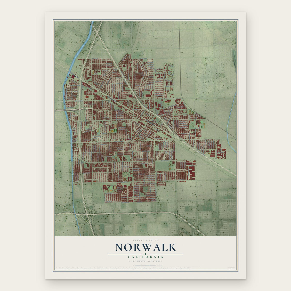
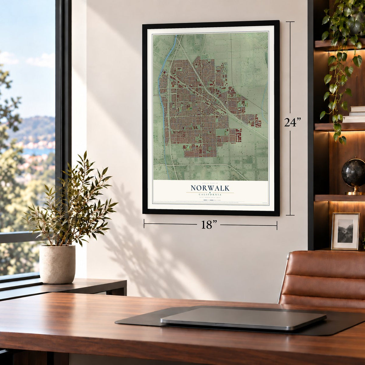
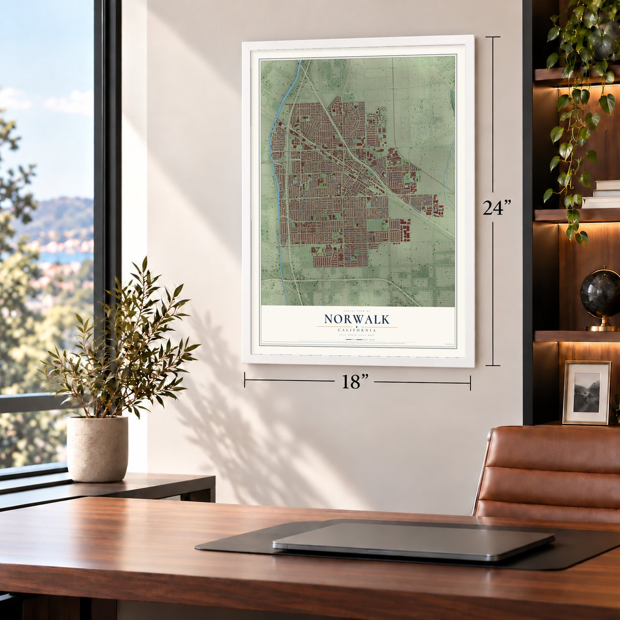
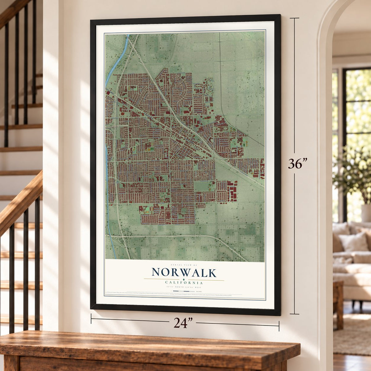
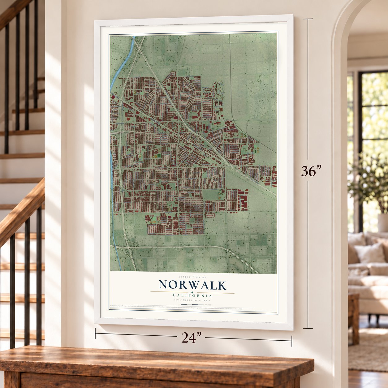
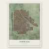
Norwalk, California Map Art
Building by building, with labeled streets and shaded relief.
12" x 18" Archival Matte Print
A Map of Home. A Work of Art.
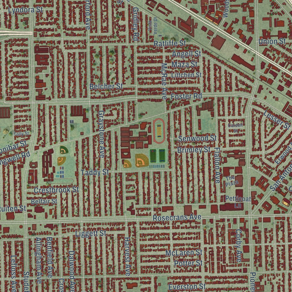
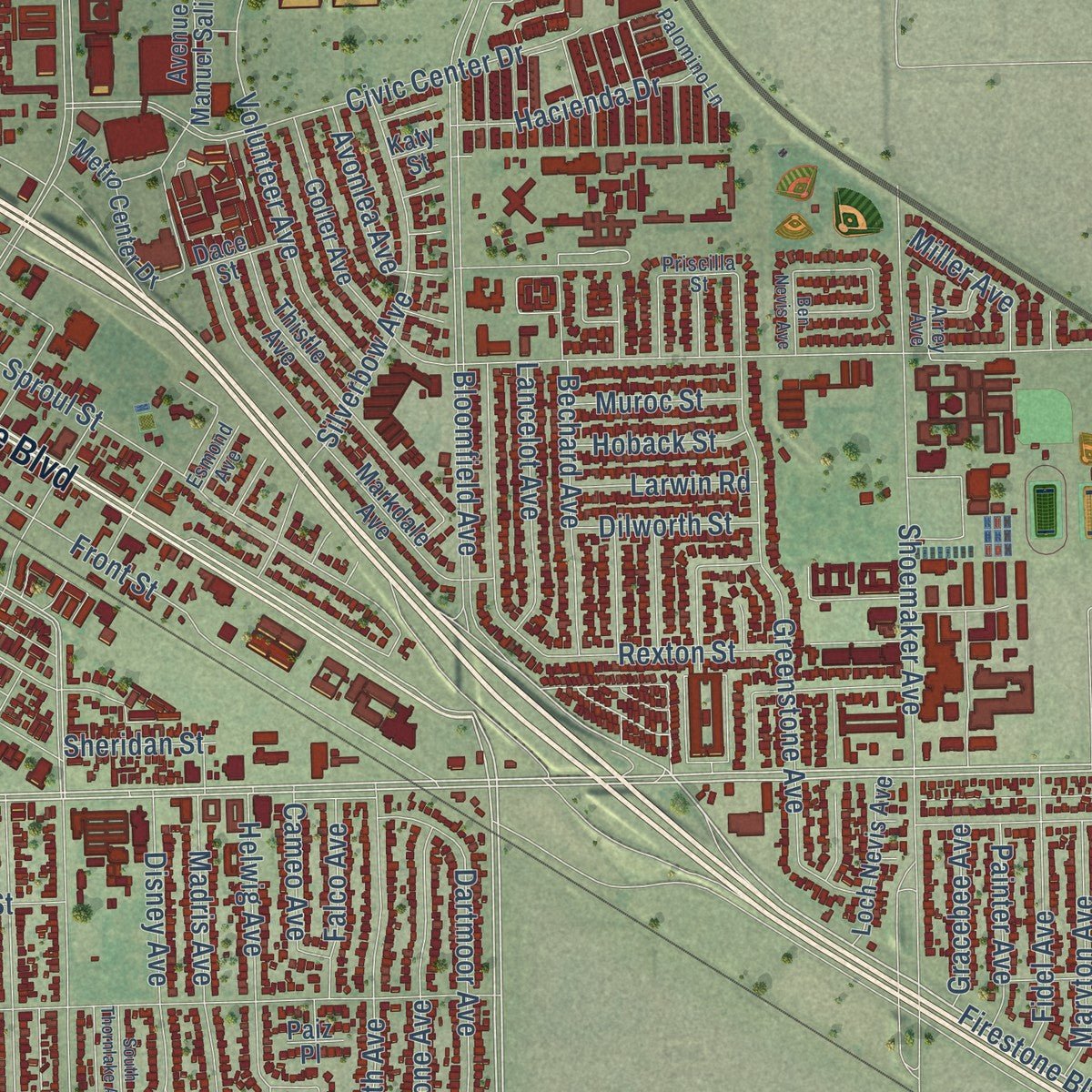
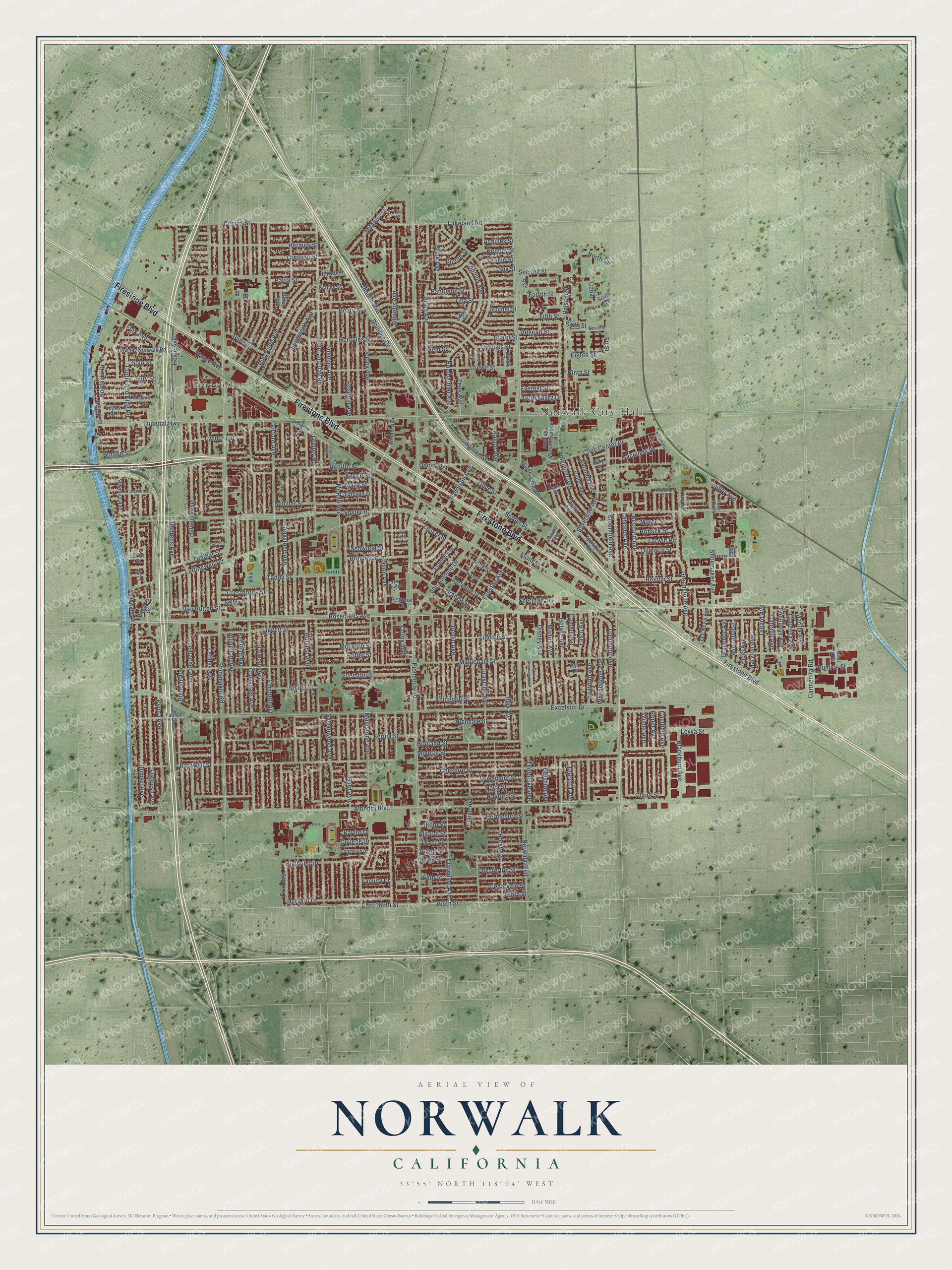
Explore Norwalk, California from a whole new perspective. Created using aerial imagery and detailed geographic data, this map captures Norwalk building by building, with labeled streets, familiar landmarks, and shaded topographical relief that highlights the natural contours of the landscape.
Combining modern data with the timeless character of a vintage atlas, this map is just as interesting up close as it is beautiful on the wall. Whether you grew up in Norwalk, spent memorable years there, or call it home today, this unique map is a great way to celebrate a place that means something to you. Zoom in on the preview to look for your street, and then order a print to put your memories on the wall.
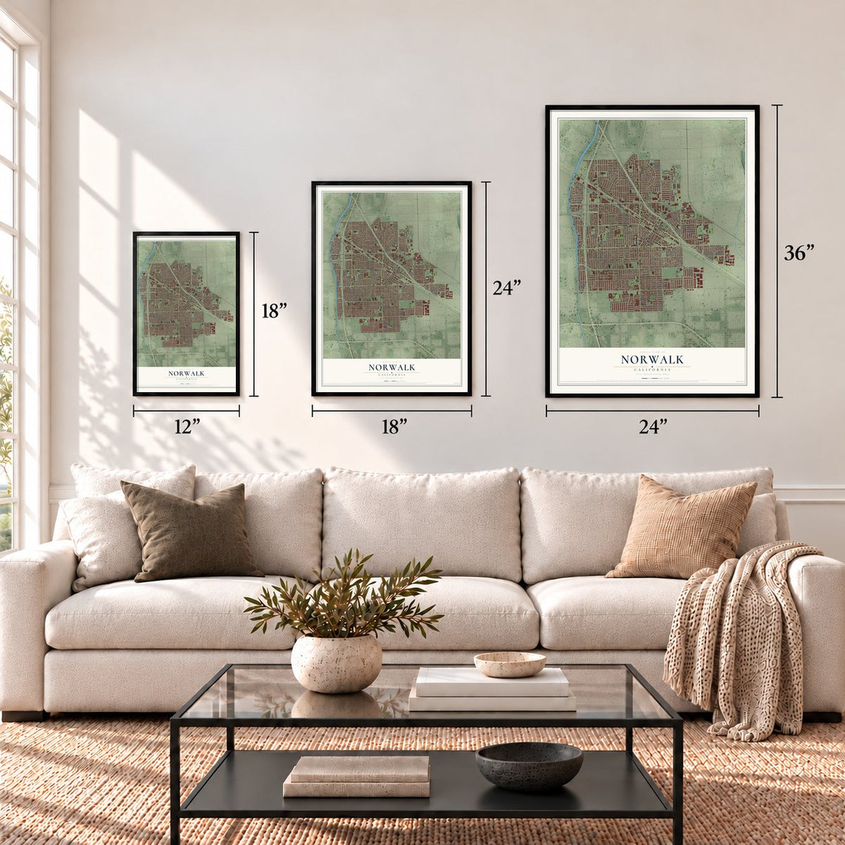
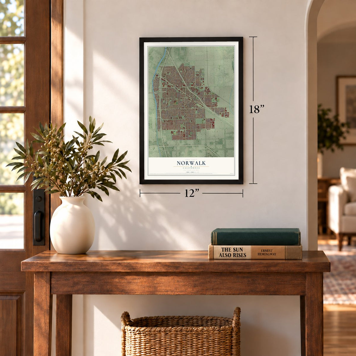
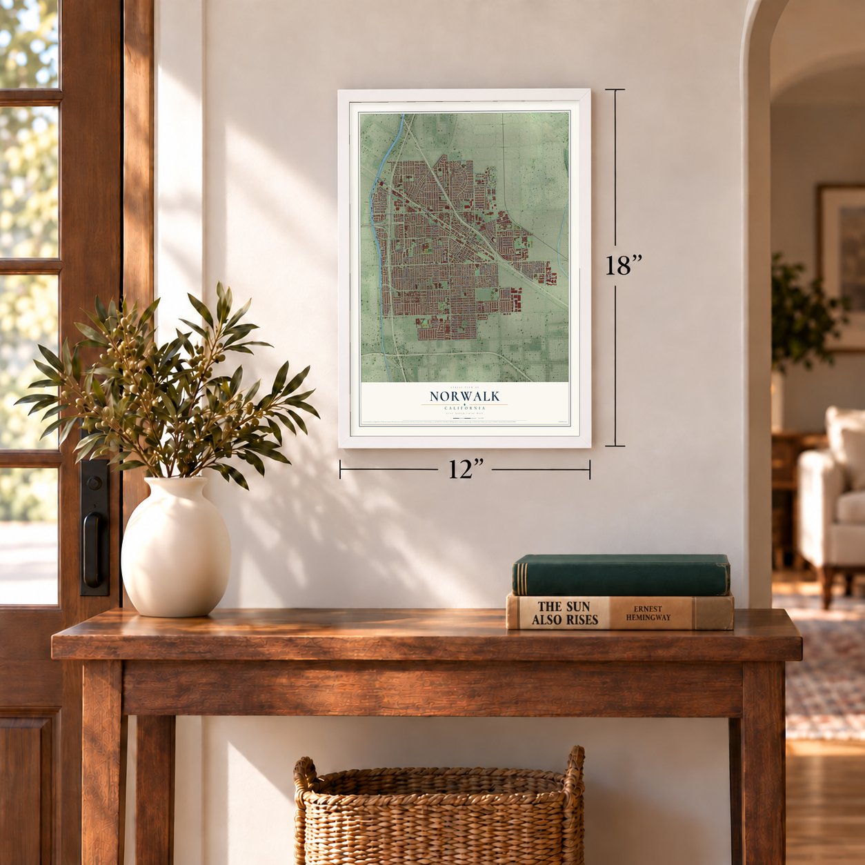
Three ways to hang it
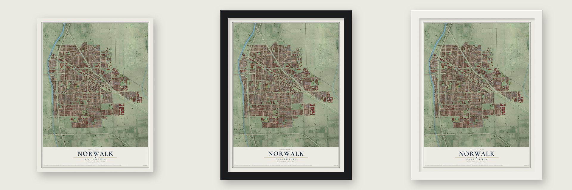
Unframed archival matte, a black wood frame or a white wood frame.
Up close
Geography Worth Displaying
This map was created using accurate cartographic data and authoritative geographic sources, including the U.S. Geological Survey and the Census Bureau. The map brings together terrain, waterways, roads, and building detail. The majority of the streets are labeled, houses are accurately depicted, and the topography is derived from government sources. Combining local data with carefully composed color and shading leads to this beautifully detailed Norwalk artwork for your wall.
Rather than simply showing street outlines, we’ve included as many of the street names as we could reasonably fit on the map while keeping their names legible. Zoom in on the high resolution preview to see exactly what’s on the map. We truly set out to create a statement piece for anyone who loves Norwalk. So whether it’s for you, or a gift for someone you love, we hope this map of Norwalk brings back fond memories.
Read the story behind this map of Norwalk, California from 2026.
Find your street
Names on the Norwalk map
Every name below is printed on this map. Look for your street, your school, the park where you played, or the pond down the road.
Places and landmarks2
- Norwalk City Hall
- Studebaker
Streets and roads249
- Firestone Boulevard
- Dollison Drive
- Orr and Day Road
- Rosecrans Avenue
- Bloomfield Avenue
- Foster Road
- Norwalk Boulevard
- Leffingwell Road
- Adoree Street
- Orange Street
- Pioneer Boulevard
- Alondra Boulevard
- Studebaker Road
- Imperial Highway
- Excelsior Drive
- Mapledale Street
- Longworth Avenue
- Graystone Avenue
- Fairford Avenue
- Gridley Road
- Maidstone Avenue
- Elmcroft Avenue
- Jersey Avenue
- Crossdale Avenue
- Lefloss Avenue
- Gard Avenue
- Dalwood Avenue
- Clarkdale Avenue
- Flallon Avenue
- San Antonio Drive
Show all 249 streets
- Barnwall Street
- Harvest Avenue
- Shoemaker Avenue
- Leibacher Avenue
- Domart Avenue
- Benfield Avenue
- Halcourt Avenue
- Arlee Avenue
- Elaine Avenue
- Flatbush Avenue
- Cheshire Street
- Dumont Avenue
- Hayford Street
- Alburtis Avenue
- Horst Avenue
- Piuma Avenue
- Ferina Street
- 166th Street
- East 166th Street
- Kenney Street
- Bombardier Avenue
- Roseton Avenue
- Front Street
- Crewe Street
- Liggett Street
- Lindale Street
- Molette Street
- Lakeland Road
- Sproul Street
- Volunteer Avenue
- Hermes Street
- Brink Avenue
- Curtis and King Road
- Funston Avenue
- Dune Street
- Tina Street
- Allard Street
- Hercules Street
- Civic Center Drive
- Sylvanwood Avenue
- Corby Avenue
- Cresson Street
- Allingham Avenue
- Bechard Avenue
- Madris Avenue
- Lyndora Street
- Highdale Street
- Spry Street
- Beaty Avenue
- Cecilia Street
- Cyclops Street
- Van Ruiten Street
- Kalnor Avenue
- McRae Avenue
- Hoxie Avenue
- Hopland Street
- Balsam Street
- Cedarvale Street
- Belcher Street
- Seaforth Avenue
- Greenstone Avenue
- Angell Street
- Everest Street
- Wilder Avenue
- Nava Street
- Lowemont Street
- Dartmoor Avenue
- Grayland Avenue
- Ibex Avenue
- Mondon Avenue
- Carmenita Road
- Paddison Avenue
- Hermosura Street
- Lancelot Avenue
- Ratliffe Street
- Behrens Avenue
- Roper Avenue
- Abingdon Street
- Summer Avenue
- Bayla Street
- Wheatstone Avenue
- Caulfield Avenue
- Silverbow Avenue
- 160th Street
- Cameo Avenue
- Pantheon Street
- 162nd Street
- 165th Street
- 164th Street
- Zeus Avenue
- Ringwood Avenue
- Milano Avenue
- Chesterton Street
- Harvard Drive
- Disney Avenue
- Hoback Street
- Helwig Avenue
- Potter Street
- Gettysburg Drive
- Elmhurst Drive
- Union Street
- Aegean Street
- Devlin Avenue
- Sibley Street
- Rexton Street
- McLaren Street
- 161st Street
- Algardi Street
- Taddy Street
- Pine Street
- Dinard Avenue
- Gracebee Avenue
- 163rd Street
- Brimley Street
- North Circle
- Borson Street
- Olive Street
- Pluton Street
- Nordesta Drive
- Adonis Avenue
- Everston Street
- Maza Street
- Blackburn Avenue
- Thornlake Avenue
- Fidel Avenue
- Maryton Avenue
- Nance Avenue
- Tonibar Street
- Second Street
- Senwood Street
- Hacienda Drive
- Crestbrook Street
- Fourth Street
- Muroc Street
- Gem Street
- Cedar
- Lesser Street
- Pumice Street
- Fifth Street
- Belshire Avenue
- Fir Street
- College Drive
- Pontlavoy Avenue
- Sixth Street
- Painter Avenue
- Cabrillo Avenue
- Claressa Avenue
- Marilla Avenue
- Eighth Street
- Falco Avenue
- Eric Avenue
- Avonlea Avenue
- Dilworth Street
- Larwin Road
- Oland Street
- Ninth Street
- Claretta Avenue
- Solo Street
- Miller Avenue
- Leyva Street
- Oracle Street
- Sheridan Street
- Foix Avenue
- Shy Street
- Faculty Drive
- Achilles Street
- Ruchel Street
- Baylor Drive
- Ash
- Bayside Drive
- Erwood Avenue
- Newmire Avenue
- Markdale Avenue
- Thistle Avenue
- Belfair Street
- Goller Avenue
- Carne Street
- Downey Norwalk Road
- Littchen Street
- Leeds Street
- South Circle
- Fairton Street
- Avenue Manuel Salinas
- Sycamore Street
- Loch Nevis Avenue
- Metro Center Drive
- Edgewater Drive
- Del Rio Court
- Woods Avenue
- Dace Street
- Elizabeth Street
- Petticoat Lane
- Esther Street
- Offley Avenue
- Circle
- Best Avenue
- Briar Street
- Paiz Place
- Ivy Court
- Katy Street
- Walnut Street
- Gwynne Avenue
- Meadow Road
- Priscilla Street
- Seventh Street
- Dartmouth Drive
- Branscomb Street
- The Plaza
- Palomino Lane
- Busiris Avenue
- Arrey Avenue
- Esmond Avenue
- Ben Nevis Avenue
- South Thornlake Avenue
- Tolly Street
- Hebe Avenue
- Vista Verde Drive
- Cardell Street
- Buell Street
Names are listed as they appear on the printed map. Zoom into the product photos to find them.
About Norwalk, California
Norwalk is a city of 102,773 people in Los Angeles County. Its land was once part of Rancho Los Nietos, a Spanish grant given to the soldier Manuel Nieto in 1784. After California joined the Union, pieces of the old ranchos were divided and sold, and in 1869 Atwood Sproul bought 463 acres for his brother Gilbert at $11 an acre. The brothers had seen the area on an earlier trip from Oregon and remembered its fertile soil and huge sycamores.
When railroads reached the area in 1873, the Sprouls gave 23 acres on the condition that trains would stop there for passengers. Three days after the first Anaheim Branch train passed through, Gilbert Sproul laid out a town site, and Norwalk became the official name in 1874. Much of the countryside stayed open farmland for decades, and Norwalk was incorporated as a city in 1957.
- A school and a cheese factoryD.D. Johnston started Norwalk's first school system in 1880. Two years later, in 1882, he gave Tom Lumbard the money to open a cheese factory, the first real industry in town. In 1891 the Johnston family built a house in the Victorian Eastlake style, known today as Hargitt House and home to the Hargitt House Museum.
- Gilbert Sproul's farmhouse, 1870Gilbert Sproul, the founder of Norwalk, built a Victorian farmhouse with Stick Style touches in 1870. It still stands as the Gilbert Sproul Museum, where visitors can see artifacts from the town's past.
- Dairies and sugar beetsBy the early 1900s Norwalk was known as a dairy center. The 1900 census reported 50 local families, and most of them farmed or worked with dairies. Some of Southern California's biggest sugar beet farms were here too, and many of the dairy farmers who came in the early part of the century were Dutch.
- The 1958 midair collisionOne night in February 1958, two military planes collided above Norwalk. One was a Neptune patrol bomber, model P2V-5F, flown by the U.S. Navy, and the other was a Douglas C-118A transport. Forty-seven servicemen died, and falling wreckage killed a 23-year-old woman on the ground. In 1961 the American Legion placed a plaque at the crash site, now a mini-mall at Firestone Boulevard and Pioneer Boulevard.
Keep exploring California
Norwalk is one of 1,990 California towns we've mapped. Every dot on the map is a print of its own.
The search covers every state, California first.
Near Norwalk
Order 2 or more town maps and save 10%. Shown in the size and finish you picked above, so they hang as a set.
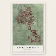
- Santa Fe Springs 12" x 18" / Archival Matte Print $39.99
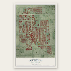
- Artesia 12" x 18" / Archival Matte Print $39.99
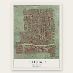
- Bellflower 12" x 18" / Archival Matte Print $39.99
More maps nearby: Cerritos, Downey, South Whittier, La Mirada and La Palma.
The art of mapping a place
How This Map Was Made
Real places. Remarkable detail. Discover the layers that turn geographic data into a map of home.

The view from above
Aerial imagery reveals the character of the land: woodland, open fields, and the patterns of a place.

The shape of the land
Elevation data brings hills, valleys, and subtle changes in the landscape into view.

The details of home
Roads, waterways, and building footprints come together to make the map feel unmistakably local.

Geography becomes art
Considered color, shading, and typography bring the layers together in a map made for your wall.


Process illustrated with Mendon, Massachusetts. Aerial imagery: USDA NAIP. Terrain: USGS 3D Elevation Program. Map details and finished artwork: KNOWOL.
The Details
About This Print
Choose an archival matte print, or a black or white Ayous wood frame. The archival matte print is unframed.
Select your size and finish above to see the matching product image and price.
Materials & Craftsmanship
A contemporary map with the character of a classic atlas, printed on archival matte paper. Optional frames are made from Ayous wood.
Your printed map does not include the watermark shown in the full-map preview.
Shipping & Delivery
Free shipping within the United States. Every print is made to order in the USA.
Buying a gift? Add a note in your cart and we'll include it. We never put prices in the package.
Prints ship within 2 to 3 business days. Allow 7 to 10 days total from ordering for delivery. Timing may vary during holidays or periods of high order volume.
Read our shipping policy.
Returns and damaged prints
Each print is made to order. Change-of-mind refunds are not available after production.
If your print arrives damaged, misprinted or incorrect, contact support@knowol.com within 30 days of receiving it. Include your order number, photos and a description of the issue.
Read our full refund and replacement policy. For questions about your order, email support@knowol.com.