
Search for another town

Free U.S. delivery 7 to 10 days after you order
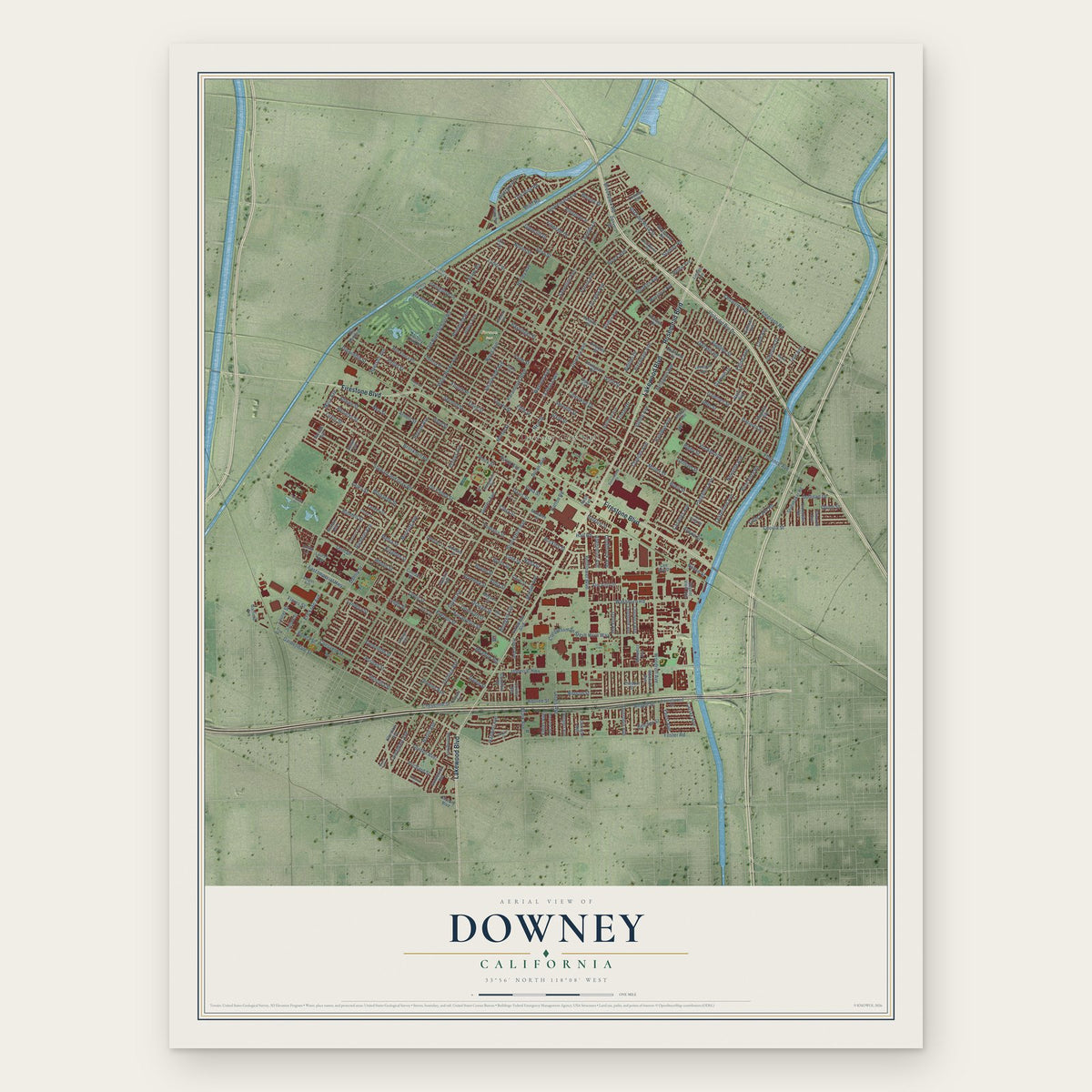
Downey, California Map Art
Building by building, with labeled streets and shaded relief.
12" x 18" Archival Matte Print
A Map of Home. A Work of Art.
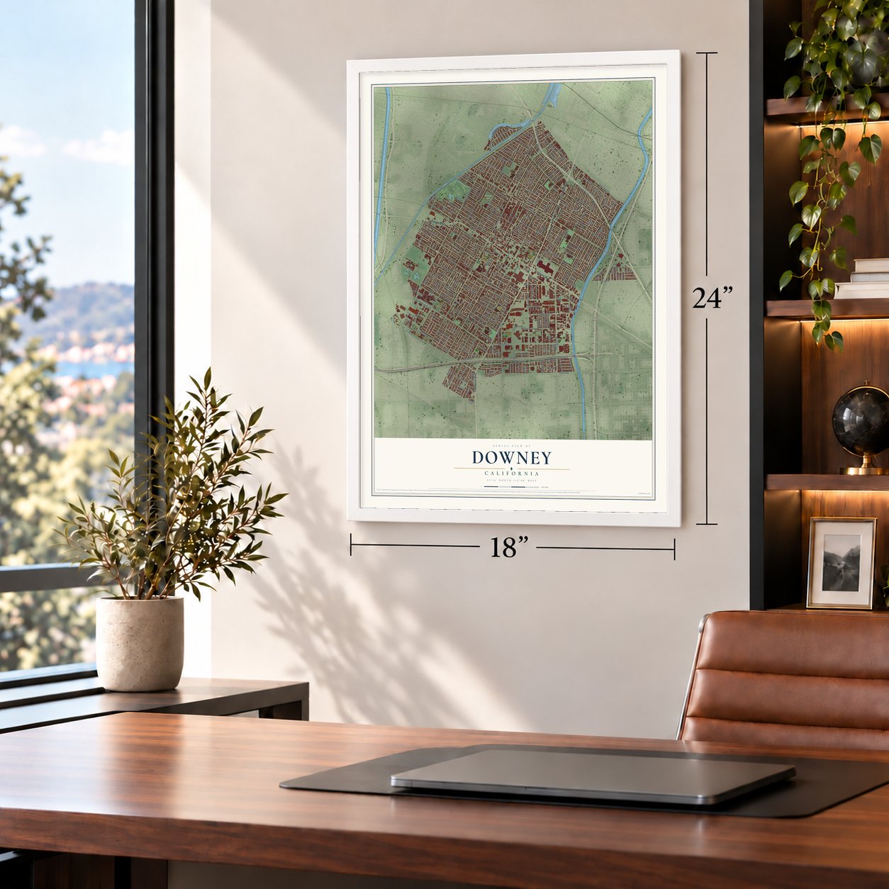
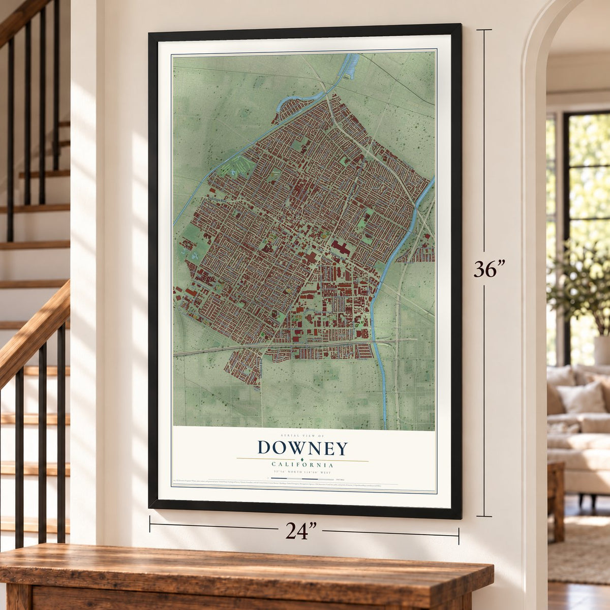
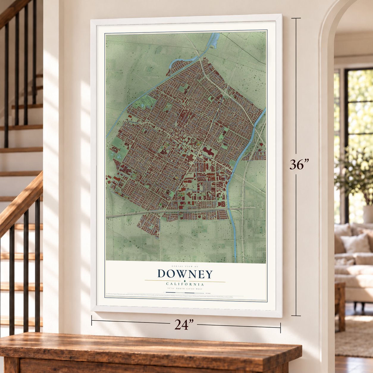
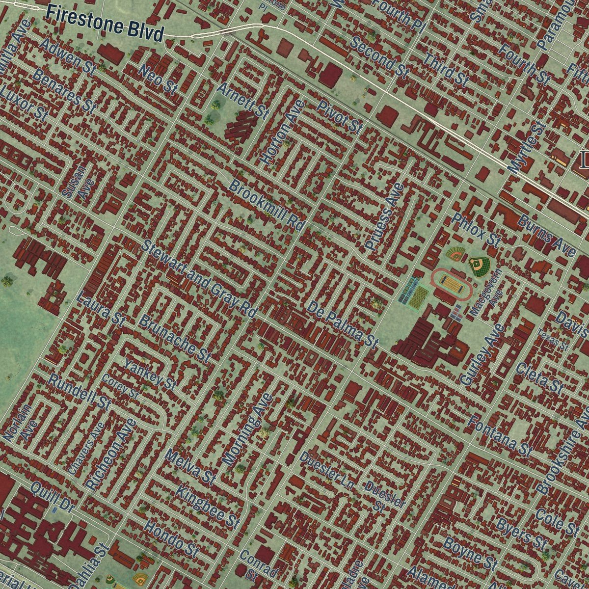
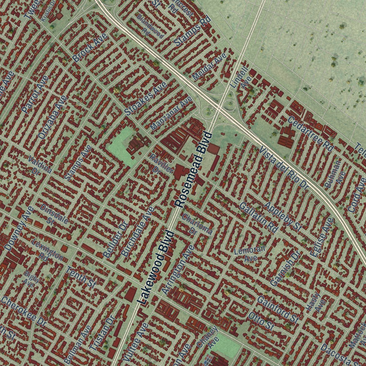
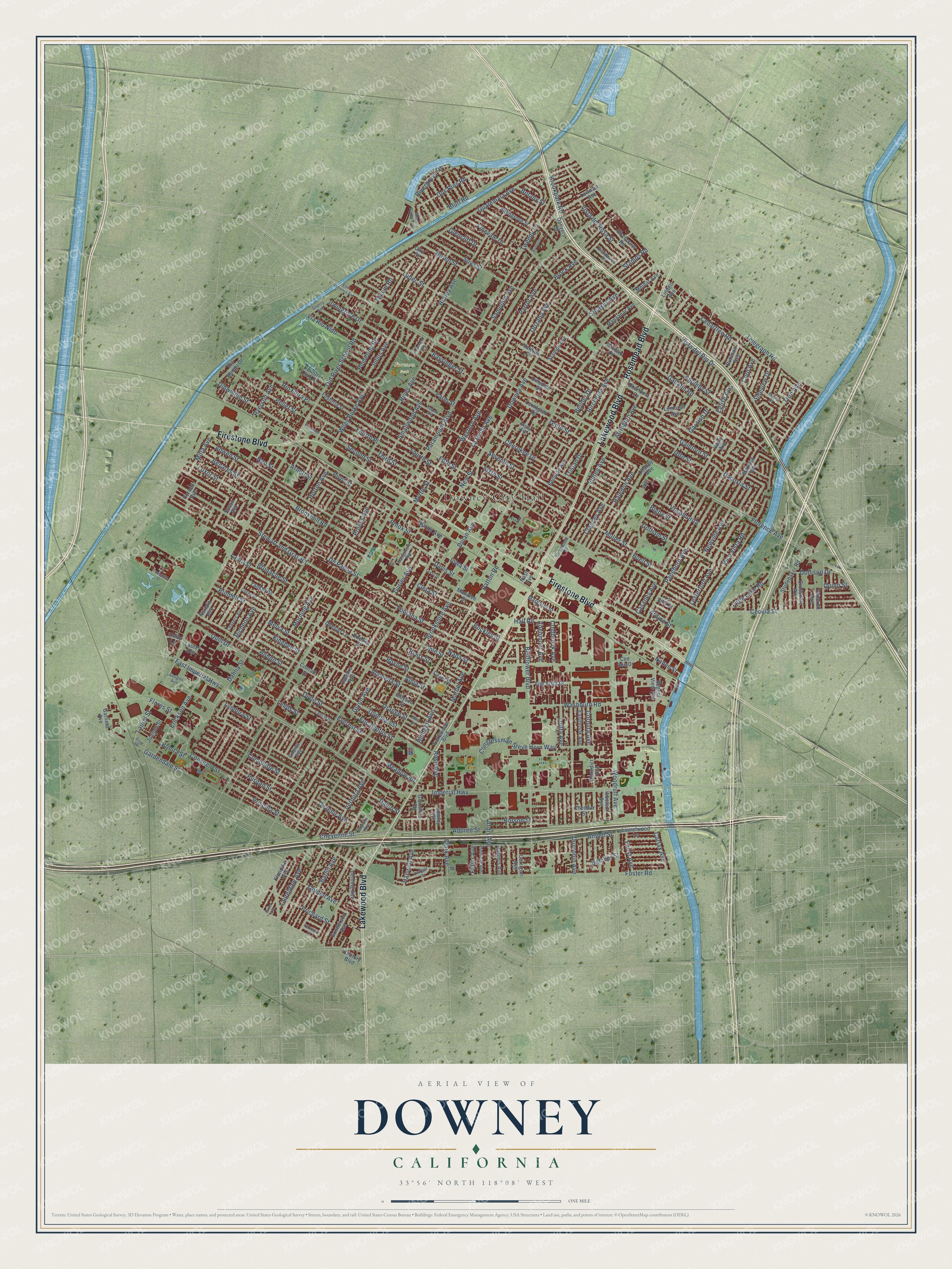
Explore Downey, California from a whole new perspective. Created using aerial imagery and detailed geographic data, this map captures Downey building by building, with labeled streets, familiar landmarks, and shaded topographical relief that highlights the natural contours of the landscape.
Combining modern data with the timeless character of a vintage atlas, this map is just as interesting up close as it is beautiful on the wall. Whether you grew up in Downey, spent memorable years there, or call it home today, this unique map is a great way to celebrate a place that means something to you. Zoom in on the preview to look for your street, and then order a print to put your memories on the wall.
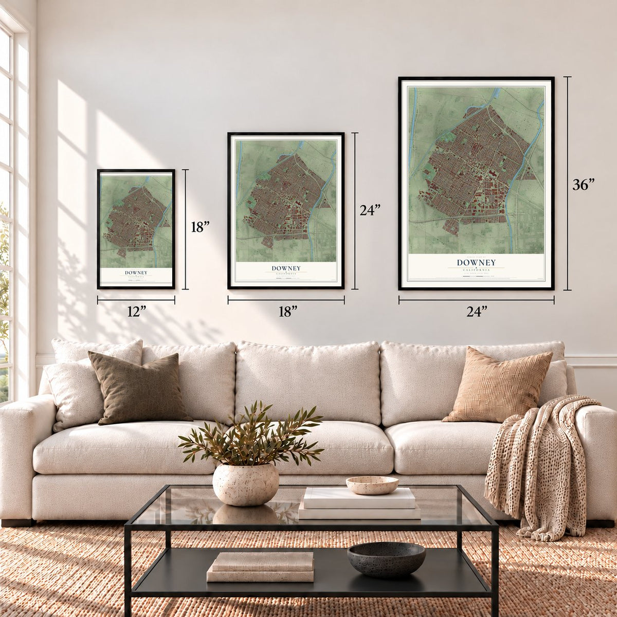
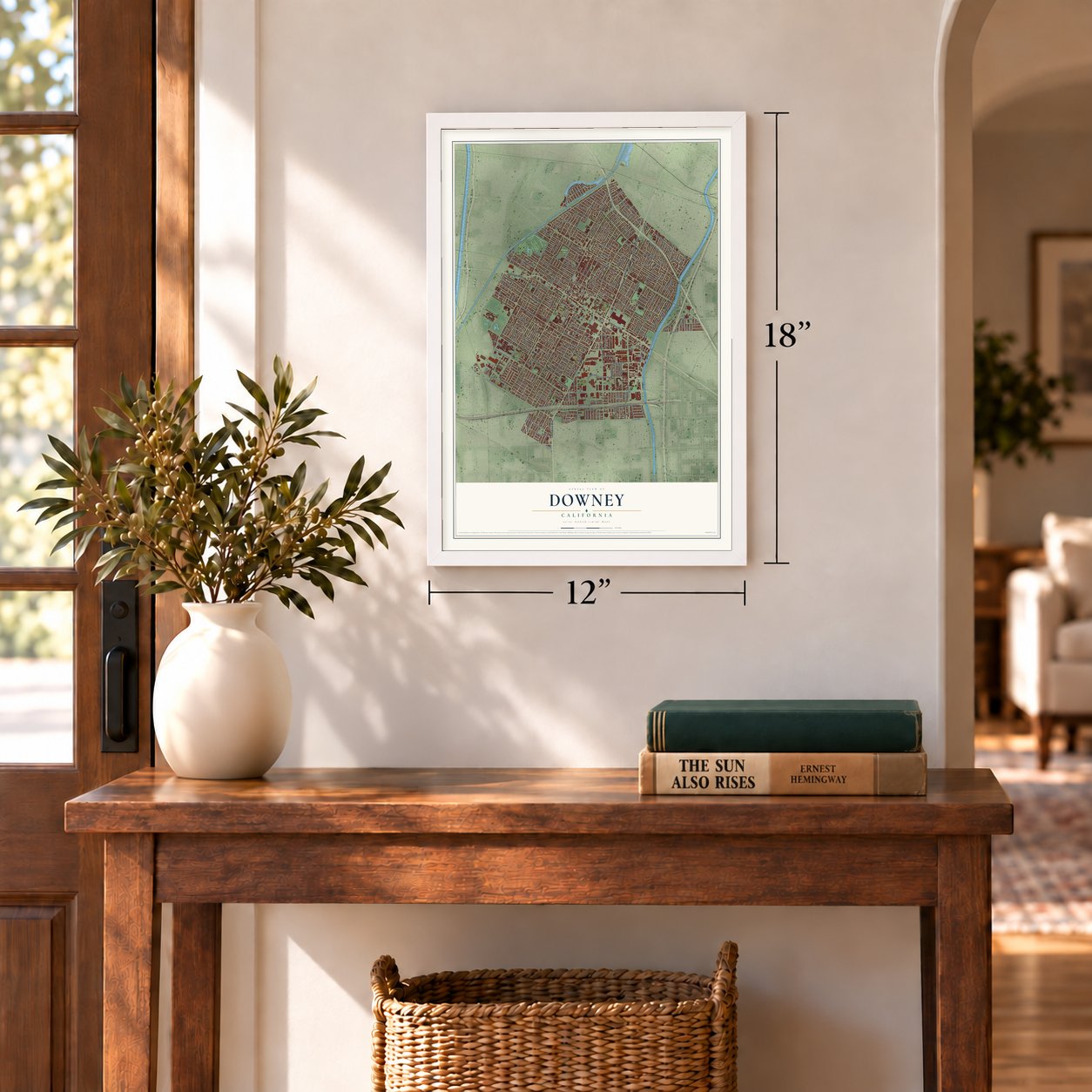
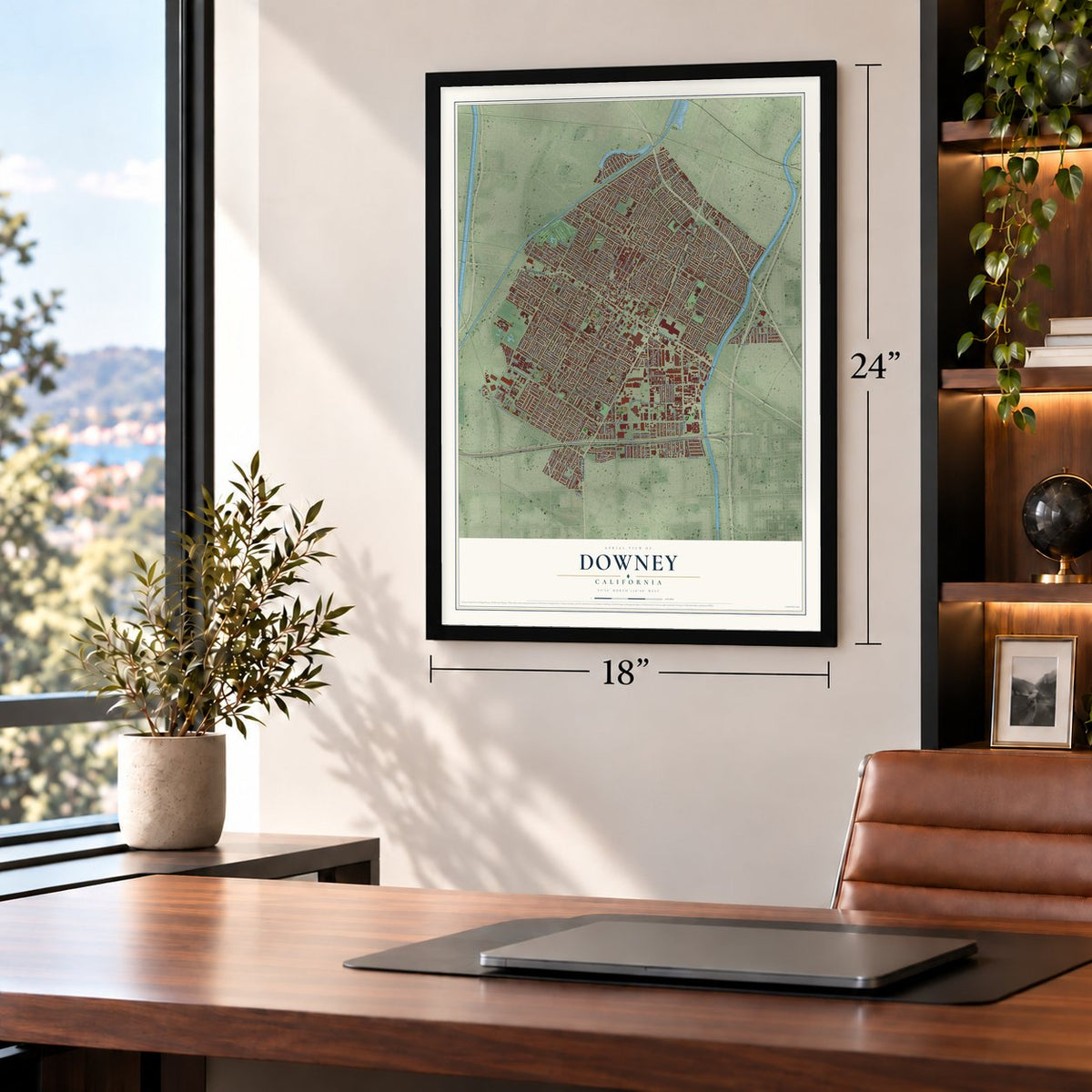
Three ways to hang it
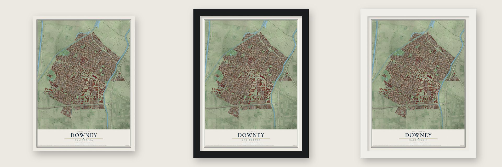
Unframed archival matte, a black wood frame or a white wood frame.
Up close
Geography Worth Displaying
This map was created using accurate cartographic data and authoritative geographic sources, including the U.S. Geological Survey and the Census Bureau. The map brings together terrain, waterways, roads, and building detail. The majority of the streets are labeled, houses are accurately depicted, and the topography is derived from government sources. Combining local data with carefully composed color and shading leads to this beautifully detailed Downey artwork for your wall.
Rather than simply showing street outlines, we’ve included as many of the street names as we could reasonably fit on the map while keeping their names legible. Zoom in on the high resolution preview to see exactly what’s on the map. We truly set out to create a statement piece for anyone who loves Downey. So whether it’s for you, or a gift for someone you love, we hope this map of Downey brings back fond memories.
Read the story behind this map of Downey, California from 2026.
Find your street
Names on the Downey map
Every name below is printed on this map. Look for your street, your school, the park where you played, or the pond down the road.
Places and landmarks2
- Downey City Hall
- Furman Park
Streets and roads267
- Lakewood Boulevard
- Firestone Boulevard
- Rosemead Boulevard
- Florence Avenue
- Dollison Drive
- Ryerson Avenue
- Newville Avenue
- Stewart and Gray Road
- Old River School Road
- Cord Avenue
- Leeds Street
- Brookpark Road
- Tecum Road
- Paramount Boulevard
- Downey Avenue
- Imperial Highway
- Brookshire Avenue
- Rives Avenue
- East Imperial Highway
- Woodruff Avenue
- Telegraph Road
- Cecilia Street
- Adoree Street
- Gardendale Street
- Dolan Avenue
- Gallatin Road
- Smallwood Avenue
- Lubec Street
- Samoline Avenue
- La Reina Avenue
Show all 267 streets
- Foster Road
- Suva Street
- Horley Avenue
- Bellflower Boulevard
- Julius Avenue
- Pomering Road
- Birchdale Avenue
- Muller Street
- Pangborn Avenue
- Gainford Street
- Parrot Avenue
- Via Amorita
- Luxor Street
- Wiley Burke Avenue
- Orizaba Avenue
- Priscilla Street
- Tweedy Lane
- Third Street
- Guatemala Avenue
- Brock Avenue
- Angell Street
- Fifth Street
- Haledon Avenue
- Otto Street
- Borson Street
- Quill Drive
- Seventh Street
- Pico Vista Road
- De Palma Street
- Cole Street
- Irwingrove Drive
- Second Street
- Sixth Street
- Burns Avenue
- Buell Street
- Adwen Street
- Casanes Avenue
- Richeon Avenue
- Barlin Avenue
- Dunrobin Avenue
- Clancey Avenue
- Patton Road
- Lesterford Avenue
- Puritan Street
- Alameda Street
- Morning Avenue
- Arrington Avenue
- Dacosta Street
- Farm Street
- Fontana Street
- Devenir Avenue
- Phlox Street
- Tristan Drive
- Clark Avenue
- Pellet Street
- Arnett Street
- Everest Street
- Verdura Avenue
- Cleta Street
- Nada Street
- Congressman Steve Horn Way
- Marbel Avenue
- Dalen Street
- Comolette Street
- Hondo Street
- Gurley Avenue
- Washburn Road
- Cherokee Drive
- Blodgett Avenue
- Cedartree Road
- Horton Avenue
- Fourth Place
- Brookmill Road
- Adenmoor Avenue
- Bluff Road
- Quinn Street
- Donovan Street
- Lyndora Street
- Albia Street
- Vista del Rosa Street
- Cornuta Avenue
- Benares Street
- Belcher Street
- Fourth Street
- Stoakes Avenue
- Dos Rios Road
- Orange Street
- Hall Road
- Eglise Avenue
- Gotham Street
- Coldbrook Avenue
- Erickson Avenue
- Baysinger Street
- Western Avenue
- Little Lake Road
- Bellder Drive
- Stamps Road
- Vultee Avenue
- Dinwiddie Street
- Consuelo Street
- Nance Street
- Izetta Avenue
- Glynn Avenue
- Sideview Drive
- Vista del Rio Drive
- Melva Street
- Cheyenne Street
- Ardis Avenue
- Laureldale Avenue
- Garnish Drive
- Myrtle Street
- Appleby Street
- Finevale Drive
- Flores Street
- Pivot Street
- Boyne Street
- Prichard Street
- Brunache Street
- Dahlia Street
- New Street
- Golden Avenue
- Via Rio Nido
- Rundell Street
- Pruess Avenue
- Buckles Street
- Bigby Street
- Noren Street
- True Avenue
- Glencliff Drive
- Quoit Street
- Mitla Avenue
- Rivergrove Drive
- Bonita Street
- Hanwell Avenue
- Rio Flora Place
- Meadow Road
- Iowa Street
- Eucalyptus Street
- Carfax Avenue
- Kingbee Street
- Laurel Street
- Rose Avenue
- Faust Avenue
- Neo Street
- Davis Street
- Botany Street
- Byers Street
- Laura Street
- Fidler Avenue
- Tenth Street
- Ardine Street
- Chaney Avenue
- Dinsdale Street
- Raviller Drive
- Hasty Avenue
- Studebaker Road
- Gneiss Avenue
- Mattock Avenue
- Norlain Avenue
- Manzanar Avenue
- Lemoran Avenue
- Eastbrook Avenue
- Fostoria Street
- Allengrove Street
- Bellman Avenue
- Stamps Avenue
- Century Boulevard
- Charloma Drive
- Meldar Avenue
- Susan Avenue
- Danvers Street
- Cavel Street
- Birchcrest Road
- Deming Avenue
- Klondike Avenue
- Margaret Street
- Lowman Avenue
- Corrigan Avenue
- Ibbetson Avenue
- Buhman Avenue
- Boyson Street
- Regent View Avenue
- La Villa Street
- Yankey Street
- Lexington Road
- Glenshire Road
- Elm Vista Drive
- Crossdale Avenue
- Pernell Avenue
- Laurelwood Lane
- Gunderson Avenue
- Cheddar Street
- Benedict Avenue
- Rio Hondo Drive
- Conrad Street
- Laurel Avenue
- Rutgers Avenue
- Manatee Street
- Country Club Drive
- Juniper Street
- Lindell Avenue
- Duesler Lane
- Caladre Avenue
- Cowley Avenue
- Ciro Street
- Cee Bee Drive
- Elmcroft Avenue
- Duesler Street
- Garfield Avenue
- Valdina Drive
- Emily Lane
- Nash Avenue
- Blandwood Road
- Corey Street
- Amigos Avenue
- Stonewood Street
- Chavers Avenue
- Premiere Avenue
- Lankin Street
- Airpoint Avenue
- Metro Street
- Sherry Avenue
- Macgovern Avenue
- Bigby Avenue
- Bixler Avenue
- Harper Avenue
- Mory Street
- East Florence Avenue
- Birdvale Drive
- Aliso Street
- Foster Bridge Boulevard
- Kristin Drive
- Tranquilla Street
- Hopeland Avenue
- Firestone Place
- Parkcliff Street
- Texas Street
Names are listed as they appear on the printed map. Zoom into the product photos to find them.
About Downey, California
Downey is a city of 114,355 people in southeastern Los Angeles County. In 1784 Governor Pedro Fages gave the former soldier Manuel Nieto a 300,000-acre concession, the biggest in Alta California, and it stayed whole until 1833, when his heirs asked Mexican Governor José Figueroa to divide it. The Downey-Norwalk part became Rancho Santa Gertrudes, about 21,000 acres, granted to Josefa Cota, the widow of Nieto's son Antonio.
Around 1865 John Gately Downey, an Irish-born former governor and the youngest ever to hold the office, bought land between the Rio Hondo and San Gabriel River and split it into lots, pioneering the modern subdivision. College Settlement and Gallatin had grown up along the Rio Hondo, and by 1883 they joined with Downey. With the governor's help, they persuaded the Southern Pacific Railroad to stop in town, and life shifted to the depot. After World War II, new houses and factories spread over the farmland, and the city incorporated in 1956.
“When completed in 1912, the Rives House was by far the most imposing residence in the community of Downey.”
- Warplanes on an assembly lineVultee Aircraft was Downey's biggest employer in World War II, and by 1941 it built 15% of America's military aircraft. It hired women for factory work early and was the first aircraft company to build planes on a powered assembly line.
- Apollo and the Space ShuttleNorth American Aviation moved into the idle Vultee plant in 1948. After NASA took it over in 1961, the systems for the Apollo program and the Space Shuttle were born there. The plant closed in 1999, and the Columbia Memorial Space Center now stands on part of the site.
- The oldest McDonald's, 1953The Speedee McDonald's on the southwest corner of Lakewood Boulevard and Florence Avenue opened in 1953, and it is the oldest McDonald's still standing in the world. The 1994 Northridge Earthquake damaged it, and when it reopened in 1996 it added a museum and gift shop.
- The hose down a gopher holeIn 1955 truck driver George Di Peso of Alderdale Street tried to drown a gopher by running a hose into its hole. He couldn't pull the hose back out, and then it began sliding slowly into the ground. Wire services spread the story worldwide, and a message from Tokyo told him his hose hadn't turned up there yet. In the end the whole hose disappeared, most likely pulled away by an underground river.
- Gallatin's red schoolhouseGallatin families built the Little Red Gallatin School House in the late 1860s near today's Paramount Boulevard and Florence Avenue. By 1871 they had outgrown it and put up a two-story school, and in 1893 Gallatin School moved to the site it still holds.
Keep exploring California
Downey is one of 1,990 California towns we've mapped. Every dot on the map is a print of its own.
The search covers every state, California first.
Near Downey
Order 2 or more town maps and save 10%. Shown in the size and finish you picked above, so they hang as a set.
- Bell Gardens 12" x 18" / Archival Matte Print $39.99
- Paramount 12" x 18" / Archival Matte Print $39.99
- Norwalk 12" x 18" / Archival Matte Print $39.99
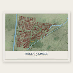
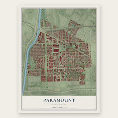
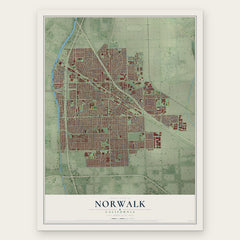
More maps nearby: Cudahy, Bellflower, South Gate, Santa Fe Springs and Bell.
The art of mapping a place
How This Map Was Made
Real places. Remarkable detail. Discover the layers that turn geographic data into a map of home.

The view from above
Aerial imagery reveals the character of the land: woodland, open fields, and the patterns of a place.

The shape of the land
Elevation data brings hills, valleys, and subtle changes in the landscape into view.

The details of home
Roads, waterways, and building footprints come together to make the map feel unmistakably local.

Geography becomes art
Considered color, shading, and typography bring the layers together in a map made for your wall.


Process illustrated with Mendon, Massachusetts. Aerial imagery: USDA NAIP. Terrain: USGS 3D Elevation Program. Map details and finished artwork: KNOWOL.
The Details
About This Print
Choose an archival matte print, or a black or white Ayous wood frame. The archival matte print is unframed.
Select your size and finish above to see the matching product image and price.
Materials & Craftsmanship
A contemporary map with the character of a classic atlas, printed on archival matte paper. Optional frames are made from Ayous wood.
Your printed map does not include the watermark shown in the full-map preview.
Shipping & Delivery
Free shipping within the United States. Every print is made to order in the USA.
Buying a gift? Add a note in your cart and we'll include it. We never put prices in the package.
Prints ship within 2 to 3 business days. Allow 7 to 10 days total from ordering for delivery. Timing may vary during holidays or periods of high order volume.
Read our shipping policy.
Returns and damaged prints
Each print is made to order. Change-of-mind refunds are not available after production.
If your print arrives damaged, misprinted or incorrect, contact support@knowol.com within 30 days of receiving it. Include your order number, photos and a description of the issue.
Read our full refund and replacement policy. For questions about your order, email support@knowol.com.