
Search for another town
Free U.S. delivery 7 to 10 days after you order
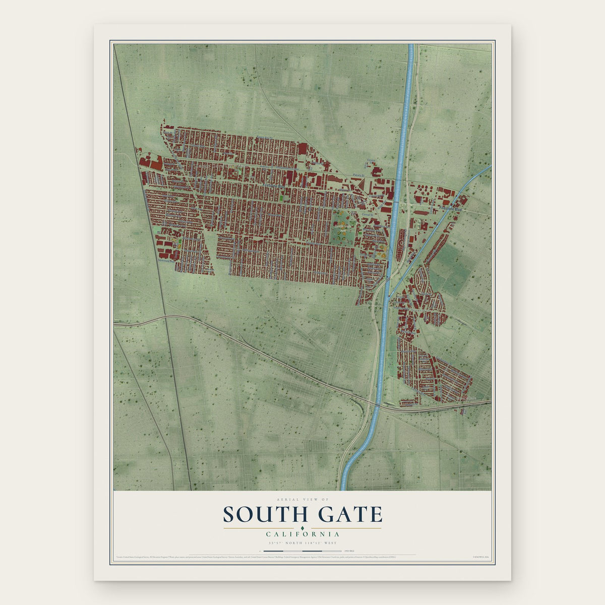
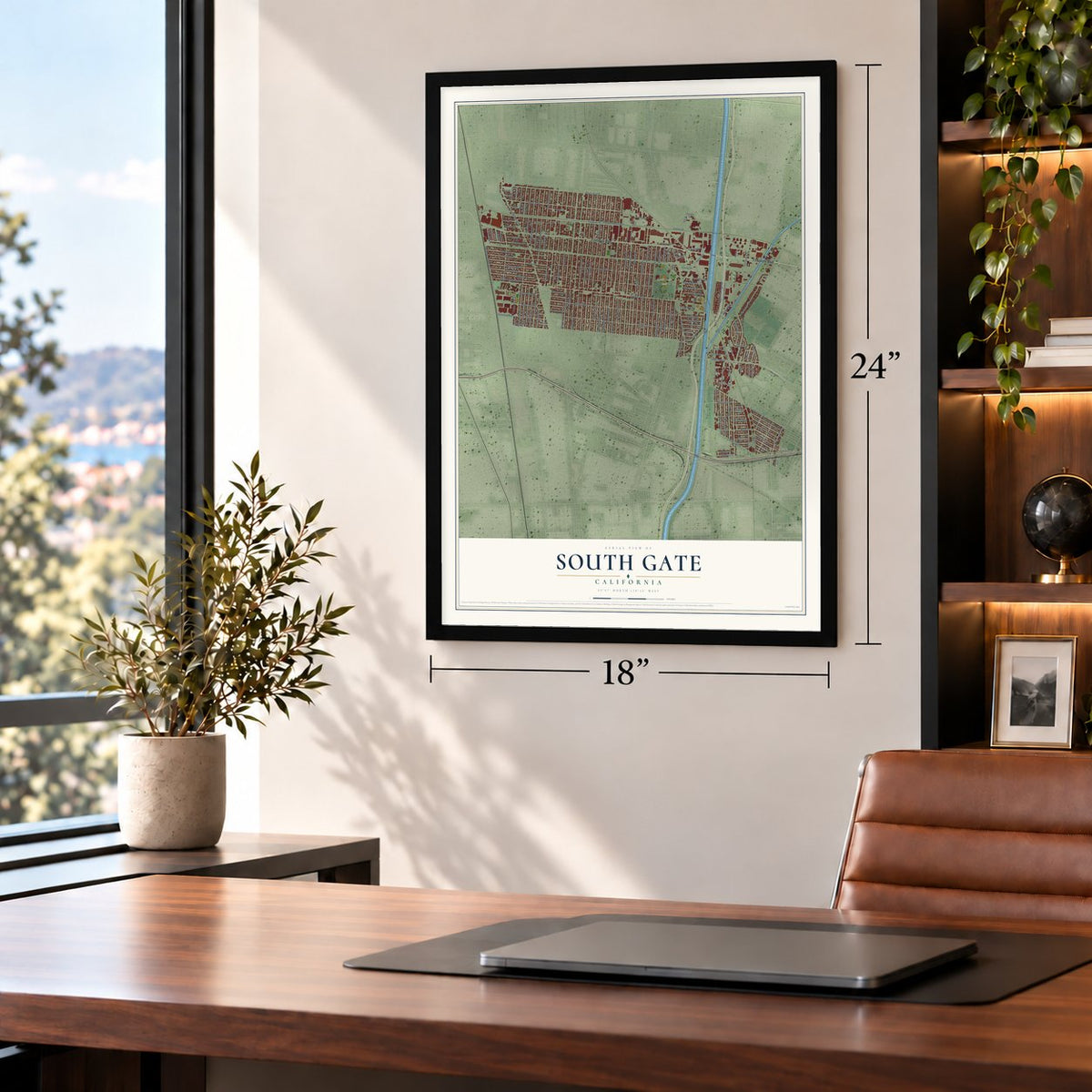
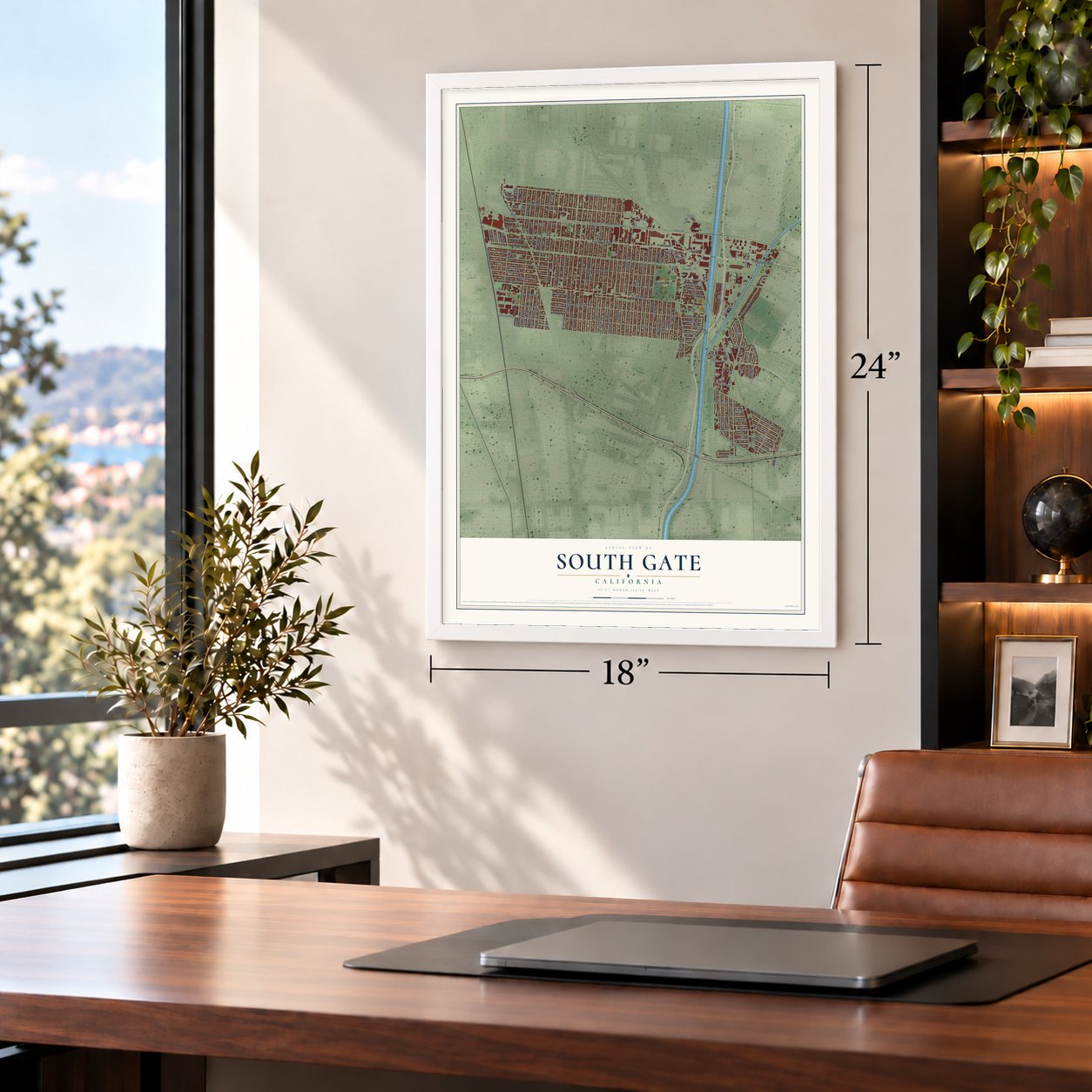
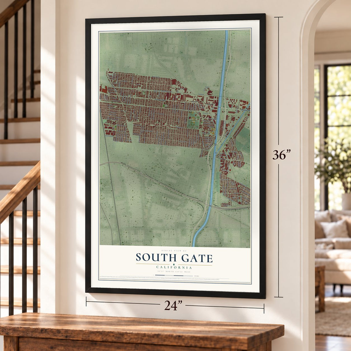
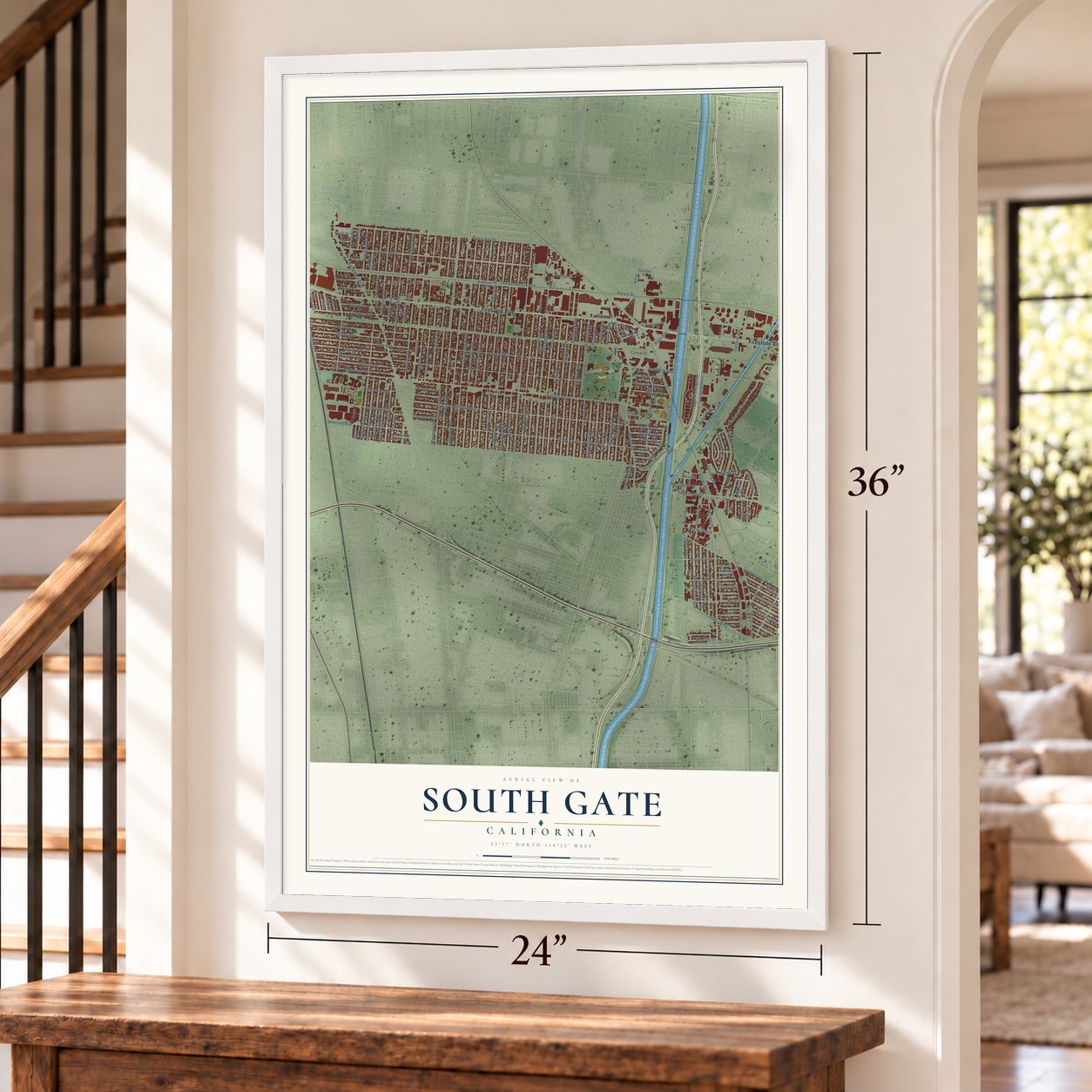
South Gate, California Map Art
Building by building, with labeled streets and shaded relief.
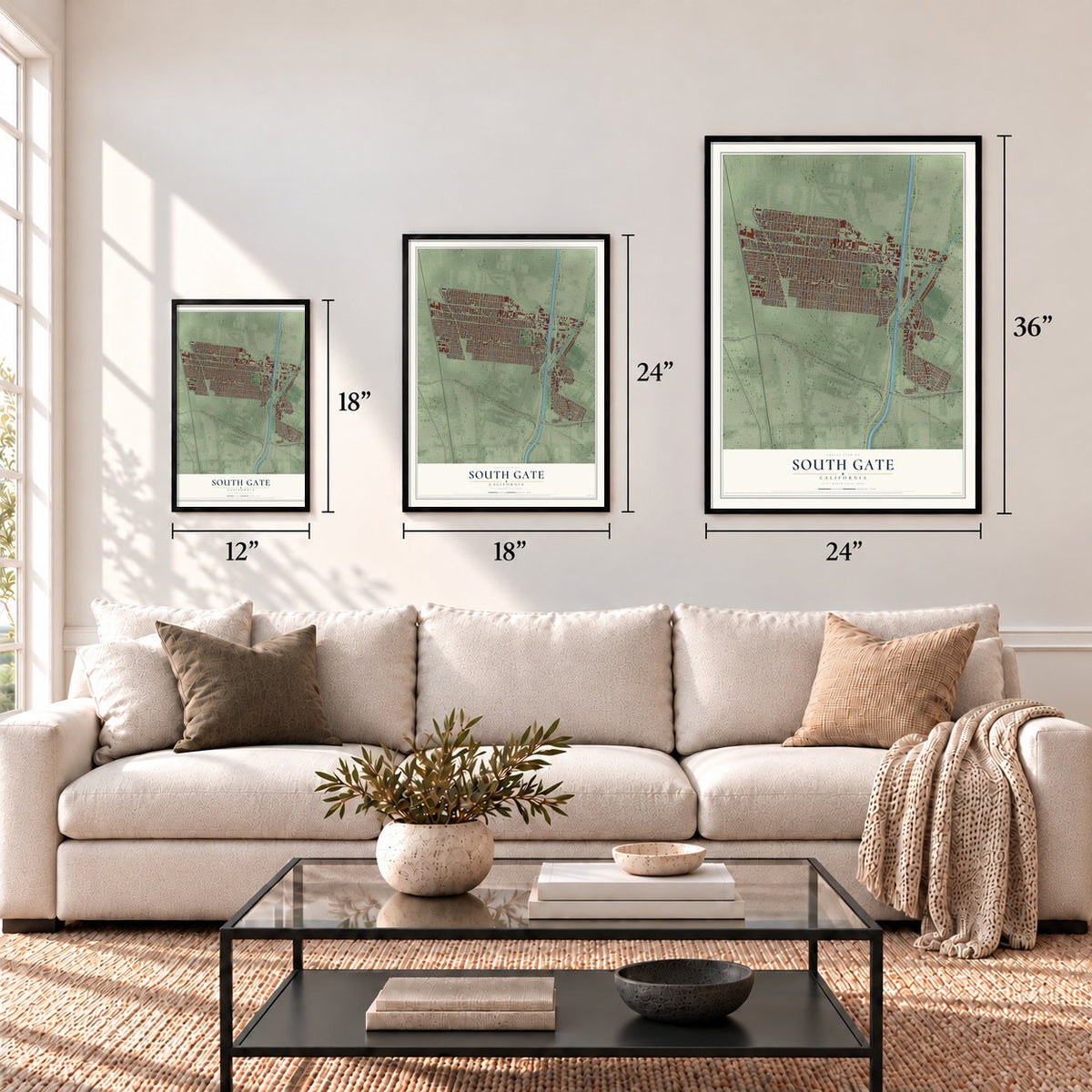
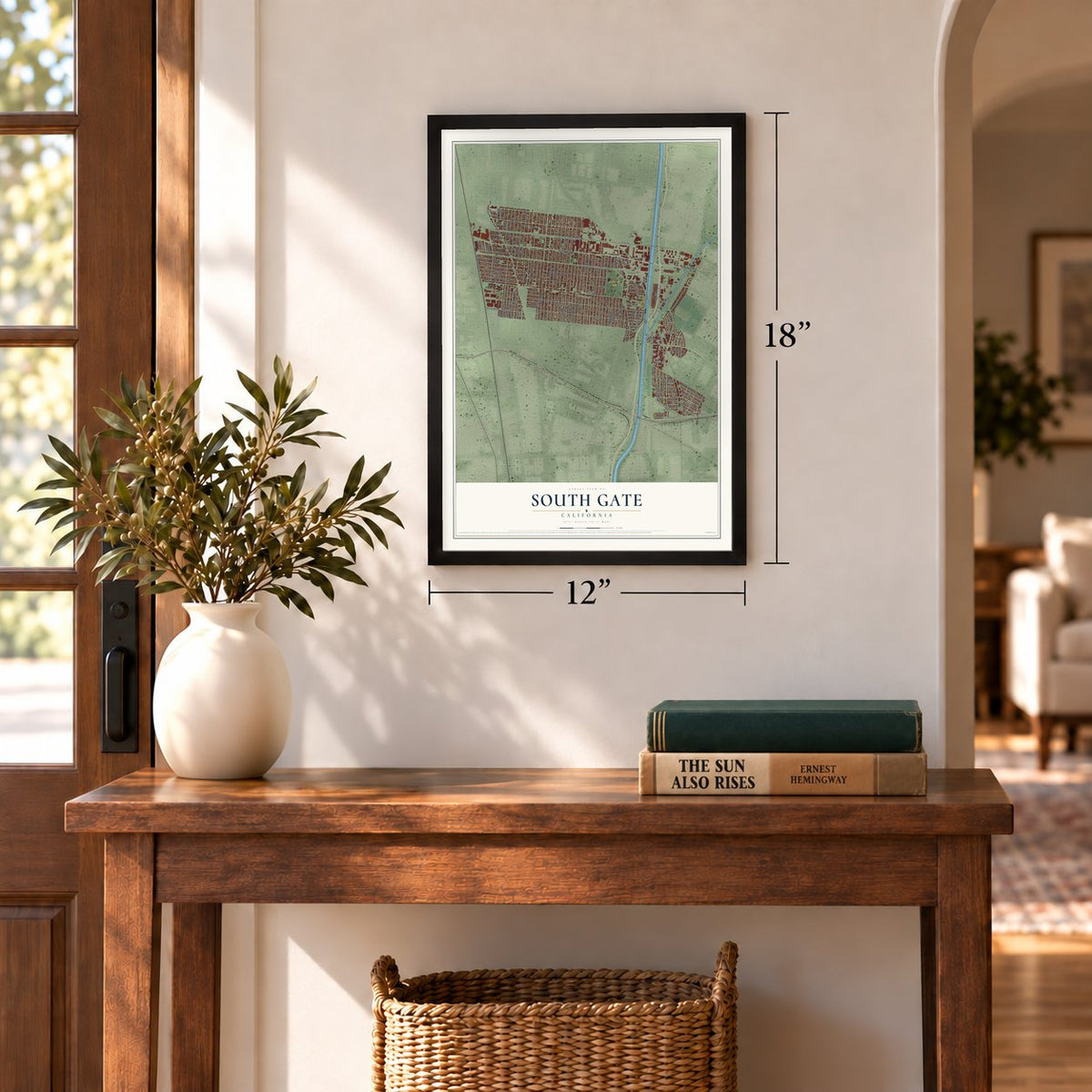
12" x 18" Archival Matte Print
A Map of Home. A Work of Art.
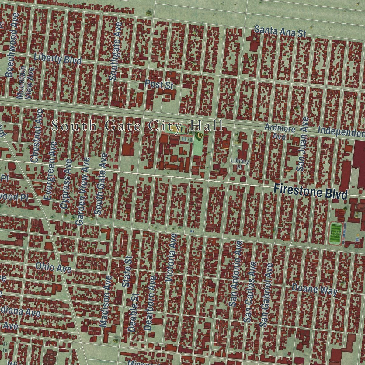
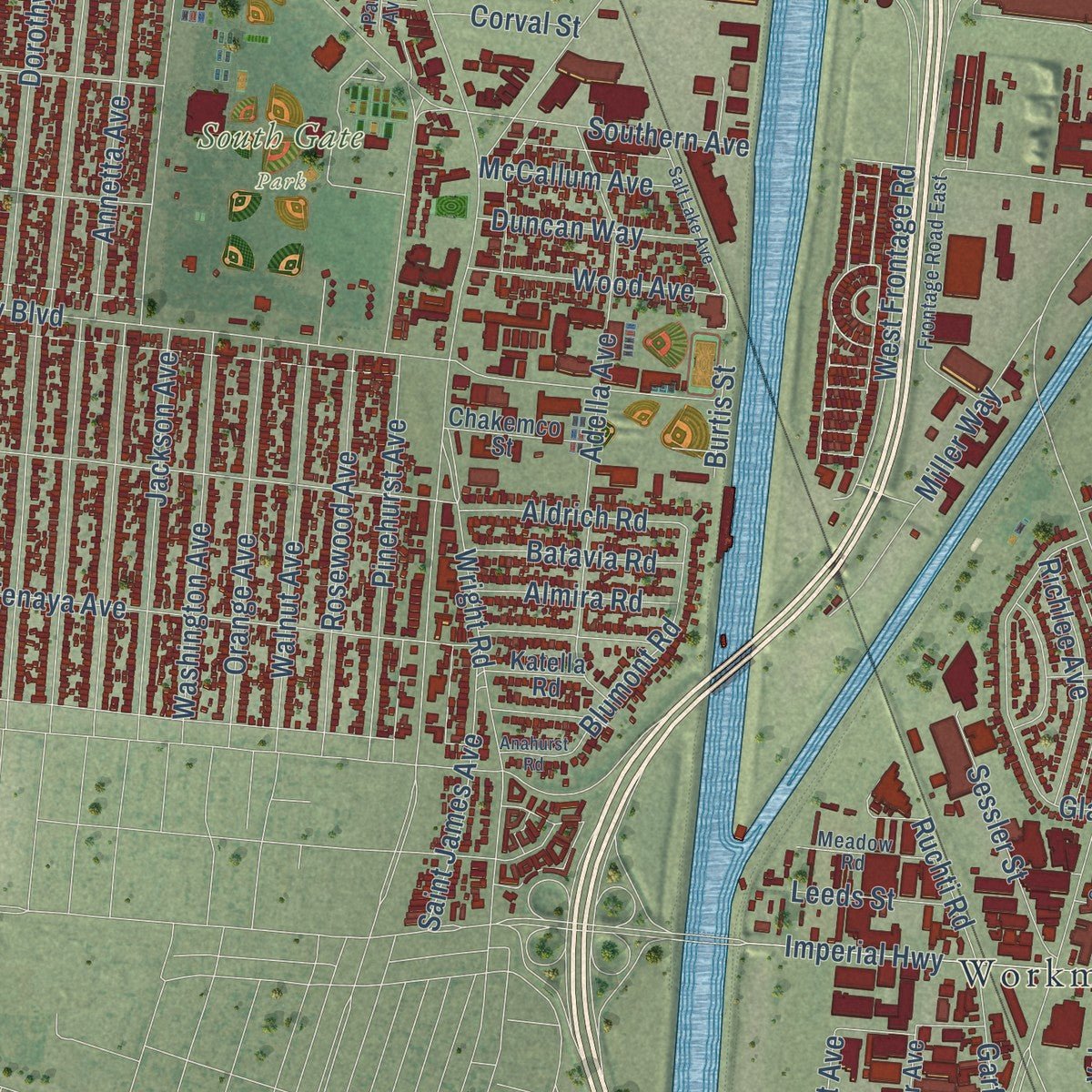
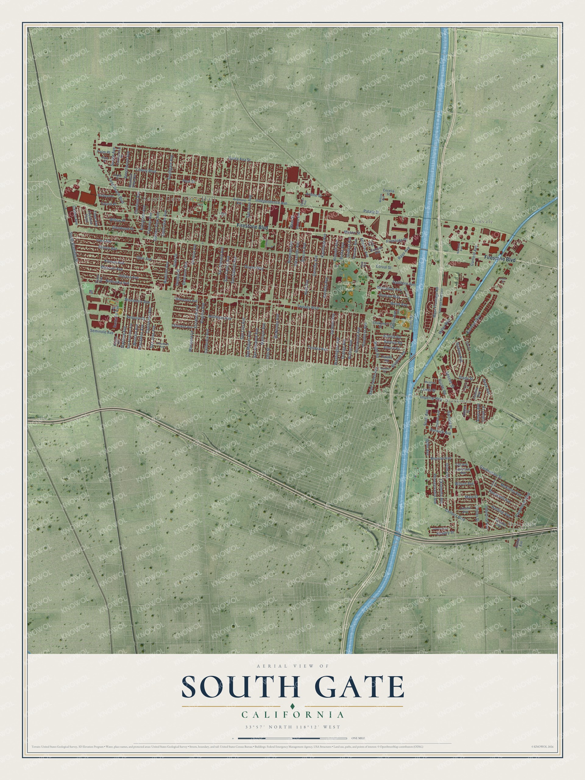
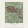
Explore South Gate, California from a whole new perspective. Created using aerial imagery and detailed geographic data, this map captures South Gate building by building, with labeled streets, familiar landmarks, and shaded topographical relief that highlights the natural contours of the landscape.
Combining modern data with the timeless character of a vintage atlas, this map is just as interesting up close as it is beautiful on the wall. Whether you grew up in South Gate, spent memorable years there, or call it home today, this unique map is a great way to celebrate a place that means something to you. Zoom in on the preview to look for your street, and then order a print to put your memories on the wall.
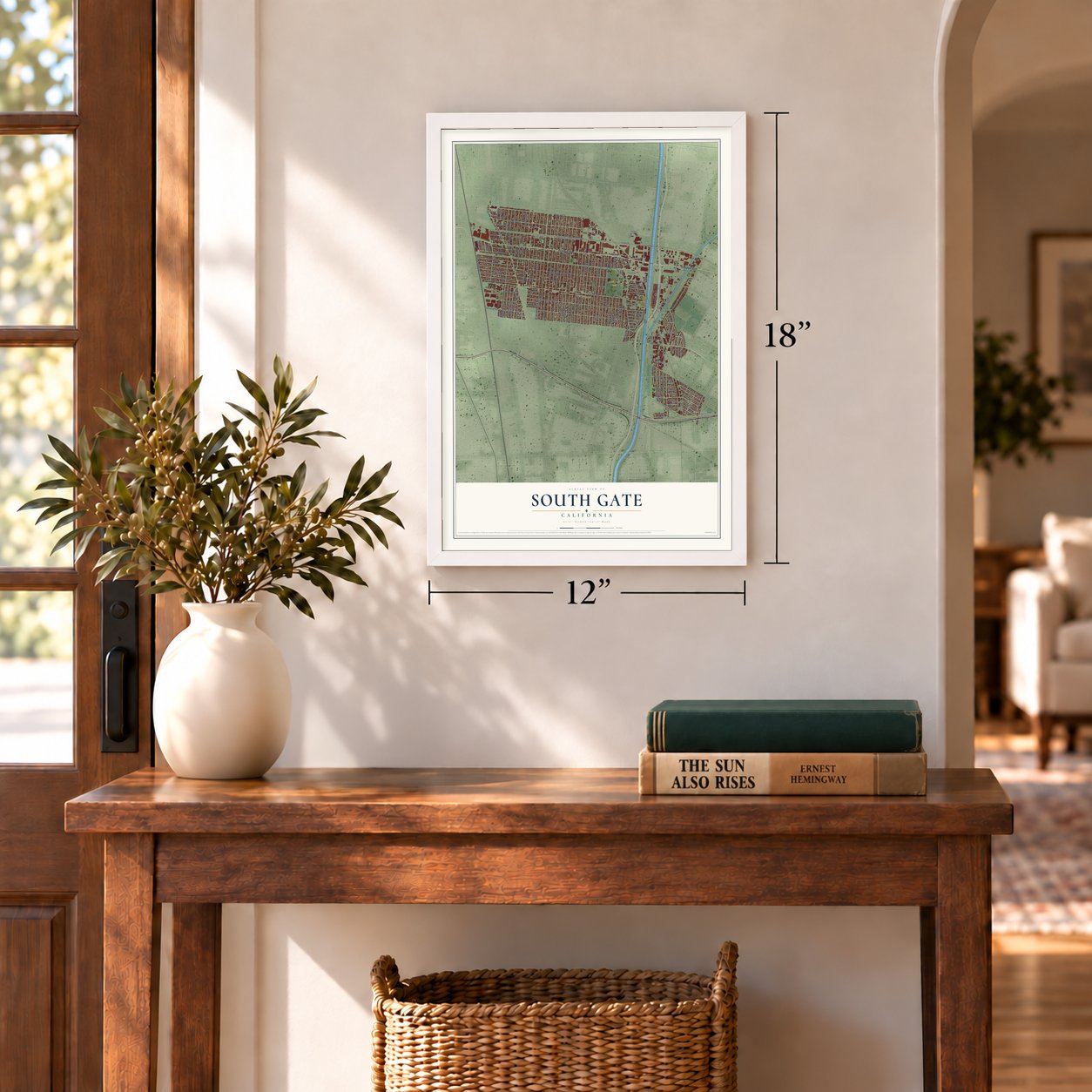
Three ways to hang it
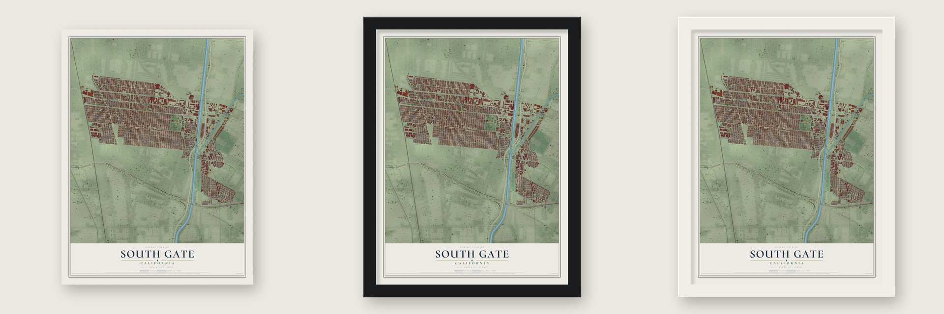
Unframed archival matte, a black wood frame or a white wood frame.
Up close
Geography Worth Displaying
This map was created using accurate cartographic data and authoritative geographic sources, including the U.S. Geological Survey and the Census Bureau. The map brings together terrain, waterways, roads, and building detail. The majority of the streets are labeled, houses are accurately depicted, and the topography is derived from government sources. Combining local data with carefully composed color and shading leads to this beautifully detailed South Gate artwork for your wall.
Rather than simply showing street outlines, we’ve included as many of the street names as we could reasonably fit on the map while keeping their names legible. Zoom in on the high resolution preview to see exactly what’s on the map. We truly set out to create a statement piece for anyone who loves South Gate. So whether it’s for you, or a gift for someone you love, we hope this map of South Gate brings back fond memories.
Read the story behind this map of South Gate, California from 2026.
Find your street
Names on the South Gate map
Every name below is printed on this map. Look for your street, your school, the park where you played, or the pond down the road.
Places and landmarks5
- South Gate City Hall
- Hollydale
- South Gate Park
- Vinvale
- Workman
Streets and roads170
- Firestone Boulevard
- Firestone Place
- Beak Avenue
- Long Beach Boulevard
- Southern Avenue
- Tweedy Boulevard
- Garfield Avenue
- Missouri Avenue
- Santa Ana Street
- Michigan Avenue
- Tenaya Avenue
- California Avenue
- San Juan Avenue
- Otis Street
- Elizabeth Avenue
- San Carlos Avenue
- San Gabriel Avenue
- San Antonio Avenue
- Independence Avenue
- Virginia Avenue
- San Luis Avenue
- San Miguel Avenue
- Liberty Boulevard
- San Vincente Avenue
- Atlantic Avenue
- State Street
- Duane Way
- Century Boulevard
- Gardendale Street
- Dearborn Avenue
Show all 170 streets
- Madison Avenue
- Bryson Avenue
- Annetta Avenue
- Alexander Avenue
- Bowman Avenue
- McNerney Avenue
- Hunt Avenue
- Hildreth Avenue
- Kauffman Avenue
- Dorothy Avenue
- Imperial Highway
- Victoria Avenue
- Stanford Avenue
- Santa Fe Avenue
- Garden View Avenue
- Karmont Avenue
- Illinois Avenue
- South Alameda Street
- McKinley Avenue
- Pinehurst Avenue
- Iowa Avenue
- Mallison Avenue
- Ohio Avenue
- Kansas Avenue
- Main Street
- Indiana Avenue
- South Gate Avenue
- Southgate Avenue
- Cypress Avenue
- Wisconsin Avenue
- Adella Avenue
- Sequoia Drive
- Seminole Avenue
- Rayo Avenue
- Evergreen Avenue
- Nebraska Avenue
- Glenwood Place
- Mason Street
- Walnut Avenue
- Center Street
- Wright Road
- Wilson Avenue
- Industrial Avenue
- Chestnut Avenue
- Utah Avenue
- Oklahoma Avenue
- Pennsylvania Avenue
- Capistrano Avenue
- Roosevelt Avenue
- Pescadero Avenue
- Montara Avenue
- Miller Way
- Paramount Boulevard
- Washington Avenue
- Harding Avenue
- Jackson Avenue
- Orange Avenue
- San Jose Avenue
- Rosewood Avenue
- Deeble Street
- West Frontage Road
- Monroe Avenue
- Saint James Avenue
- Willow Place
- Beechwood Avenue
- Sessler Street
- Laurel Place
- Amery Avenue
- Blumont Road
- Richlee Avenue
- Wood Avenue
- Patata Street
- Ruchti Road
- Leeds Street
- Garfield Place
- Idaho Avenue
- Seville Avenue
- Aldrich Road
- Duncan Way
- Mariposa Lane
- Batavia Road
- Almira Road
- Post Street
- McCallum Avenue
- Calden Avenue
- Ardine Street
- Burke Avenue
- Borwick Avenue
- Burtis Street
- Howery Street
- Scott Avenue
- Vossler Avenue
- Dudlext Avenue
- Corval Street
- Lillian Lane
- Palm Place
- Bent Street
- Tope Avenue
- Glady Street
- Lee Lane
- Ardmore Avenue
- Truba Avenue
- San Anselmo Avenue
- Mountain View Avenue
- Lincoln Avenue
- Florence Avenue
- Cassina Avenue
- Orchard Place
- Cherokee Avenue
- Minnesota Avenue
- Palmer Avenue
- Branyon Avenue
- Commercial Place
- Chakemco Street
- Ruther Avenue
- Firestone Plaza
- Vulcan Street
- Rheem Avenue
- Jefferson Avenue
- Katella Road
- Taft Avenue
- Pine Place
- Cecelia Street
- National Avenue
- Frontage Road East
- Meadow Road
- Poplar Place
- Tecumseh Avenue
- Dolores Avenue
- Quartz Avenue
- Lotta Avenue
- Wilcox Avenue
- Park Avenue
- Salt Lake Avenue
- Arizona Avenue
- Cloverlawn Drive
- Garwick Place
- Anahurst Road
- Library Place
- Luxor Street
Names are listed as they appear on the printed map. Zoom into the product photos to find them.
About South Gate, California
South Gate is a city of 92,726 people in Los Angeles County, about 7 miles southeast of downtown Los Angeles. Before the Spanish arrived, this was Gabrielino country. The village of Tajauta stood where South Gate now meets Lynwood and Watts. Antonio Maria Lugo, born in 1775 to the soldier Francisco Lugo, settled on 30,000 acres here. In 1810 the King of Spain made the grant official to reward father and son for their army service.
Spanish ranchers held the land for much of the nineteenth century. By the late 1870s the grant had been split into 40-acre tracts, and by 1880 farming had replaced cattle as the main work. Between 1910 and 1940 homes and factories took over most of the farms. Developers cut South Gate Gardens, a tract on the Cudahy Ranch, into small lots and sold them empty to blue-collar workers, many of them Okies, who often built their own houses. The town took its name from that tract in 1918. About 2500 people lived here when it became a city on January 20, 1923, and A.J Schoby became its first mayor on May 19, 1927.
- Firestone in a bean fieldIn December 1927 Firestone Tire and Rubber opened a factory in a bean field at the corner of Alameda and Firestone. It started production in mid-1928 and grew several times over the next decades, giving work to many people and shaping how the land around it was used. After the plant shut down, its land was sold in the mid-1980s to be redeveloped.
- Over 400 industries by 1976By 1940 South Gate had more than 35 factories turning out chemicals, machinery, furniture, roofing and other goods. The boom carried on through the middle of the century, and by 1976 the city counted over 400 industries.
- The Tweedy MileR.D. Tweedy, born in Illinois in 1812, came to California by ox cart in 1852. His large family bought some 2,000 acres that became much of South Gate, and several generations lived here. The downtown business district carries their name as the Tweedy Mile, and in 2019 the city adopted a plan to revive it as its historic main street.
- Azalea City since 1965South Gate took the azalea as its symbol in 1965 and has been called the Azalea City ever since. In 1990 the National Civic League named it one of ten All-America Cities in the country.
Keep exploring California
South Gate is one of 1,990 California towns we've mapped. Every dot on the map is a print of its own.
The search covers every state, California first.
Near South Gate
Order 2 or more town maps and save 10%. Shown in the size and finish you picked above, so they hang as a set.
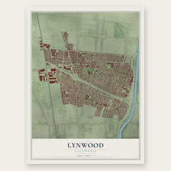
- Lynwood 12" x 18" / Archival Matte Print $39.99
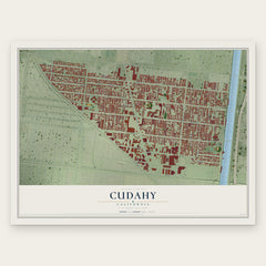
- Cudahy 12" x 18" / Archival Matte Print $39.99
- Walnut Park 12" x 18" / Archival Matte Print $39.99

More maps nearby: Bell, Bell Gardens, Watts, Huntington Park and Willowbrook.
The art of mapping a place
How This Map Was Made
Real places. Remarkable detail. Discover the layers that turn geographic data into a map of home.

The view from above
Aerial imagery reveals the character of the land: woodland, open fields, and the patterns of a place.

The shape of the land
Elevation data brings hills, valleys, and subtle changes in the landscape into view.

The details of home
Roads, waterways, and building footprints come together to make the map feel unmistakably local.

Geography becomes art
Considered color, shading, and typography bring the layers together in a map made for your wall.


Process illustrated with Mendon, Massachusetts. Aerial imagery: USDA NAIP. Terrain: USGS 3D Elevation Program. Map details and finished artwork: KNOWOL.
The Details
About This Print
Choose an archival matte print, or a black or white Ayous wood frame. The archival matte print is unframed.
Select your size and finish above to see the matching product image and price.
Materials & Craftsmanship
A contemporary map with the character of a classic atlas, printed on archival matte paper. Optional frames are made from Ayous wood.
Your printed map does not include the watermark shown in the full-map preview.
Shipping & Delivery
Free shipping within the United States. Every print is made to order in the USA.
Buying a gift? Add a note in your cart and we'll include it. We never put prices in the package.
Prints ship within 2 to 3 business days. Allow 7 to 10 days total from ordering for delivery. Timing may vary during holidays or periods of high order volume.
Read our shipping policy.
Returns and damaged prints
Each print is made to order. Change-of-mind refunds are not available after production.
If your print arrives damaged, misprinted or incorrect, contact support@knowol.com within 30 days of receiving it. Include your order number, photos and a description of the issue.
Read our full refund and replacement policy. For questions about your order, email support@knowol.com.