
Search for another town




Free U.S. delivery 7 to 10 days after you order
Largo, Florida Map Art
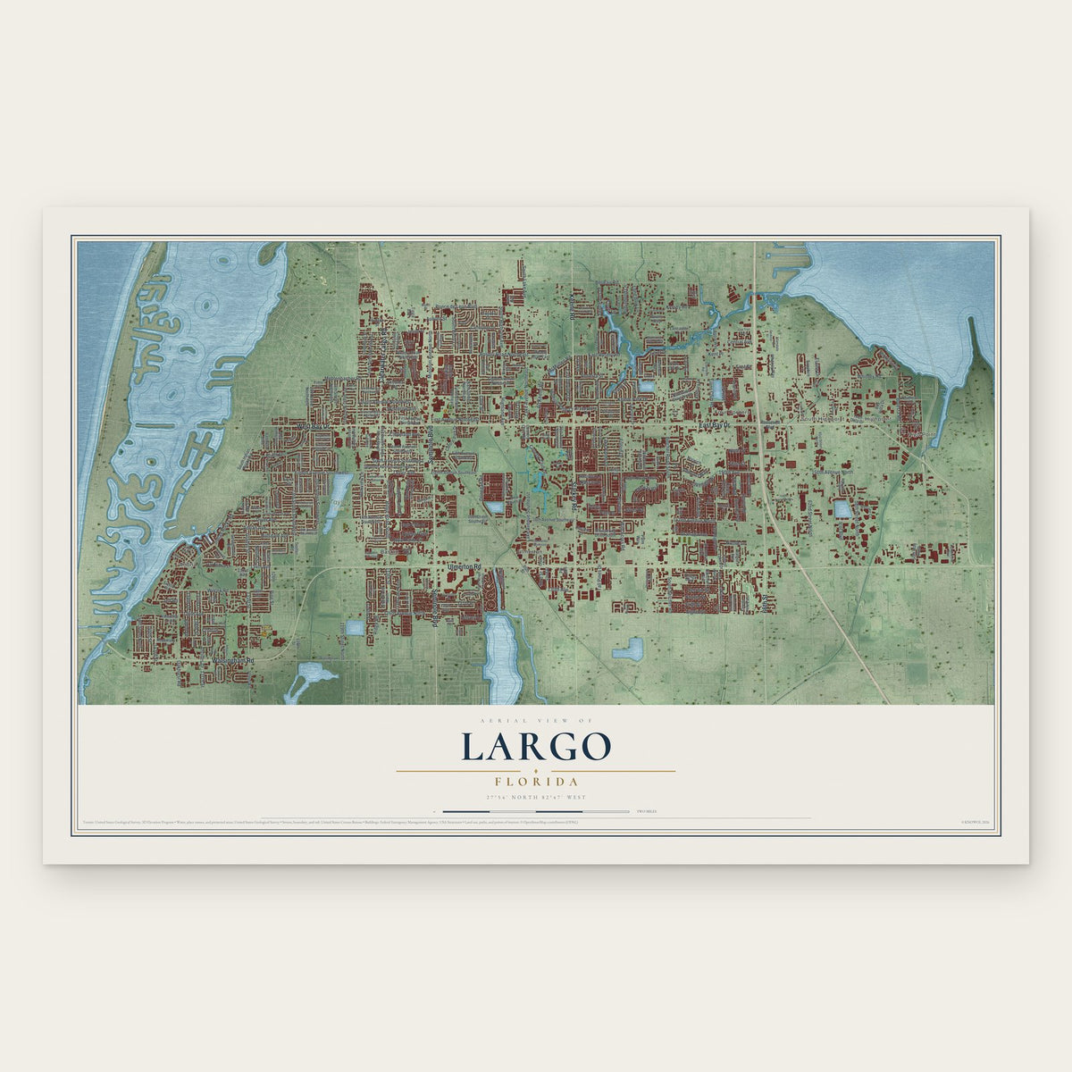
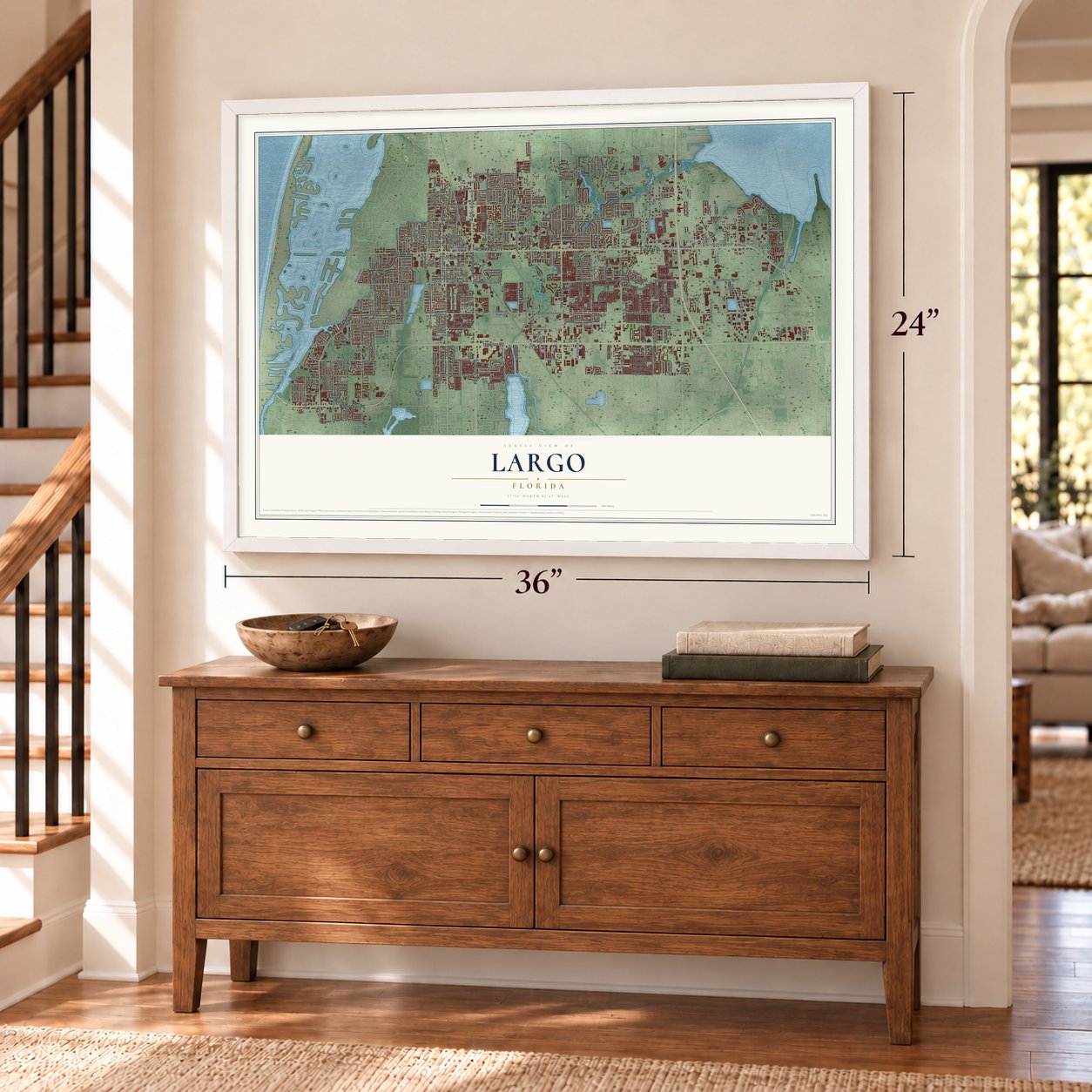
A new map of Largo, Florida, made in 2026 and printed to order on thick archival matte paper.
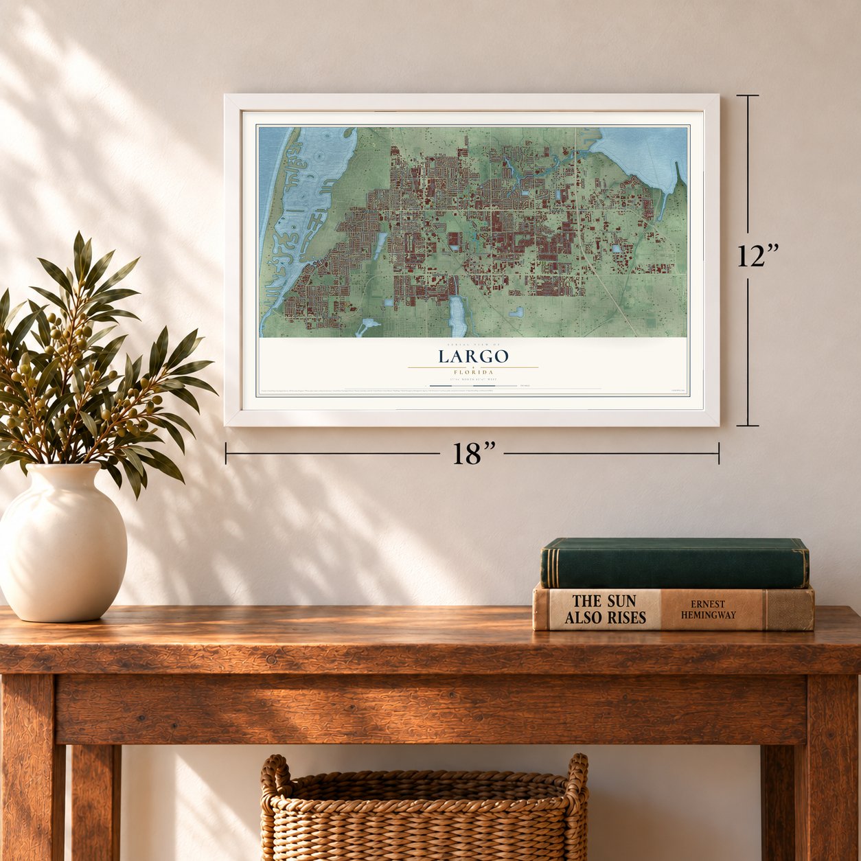
12" x 18" Archival Matte Print
A Map of Home. A Work of Art.
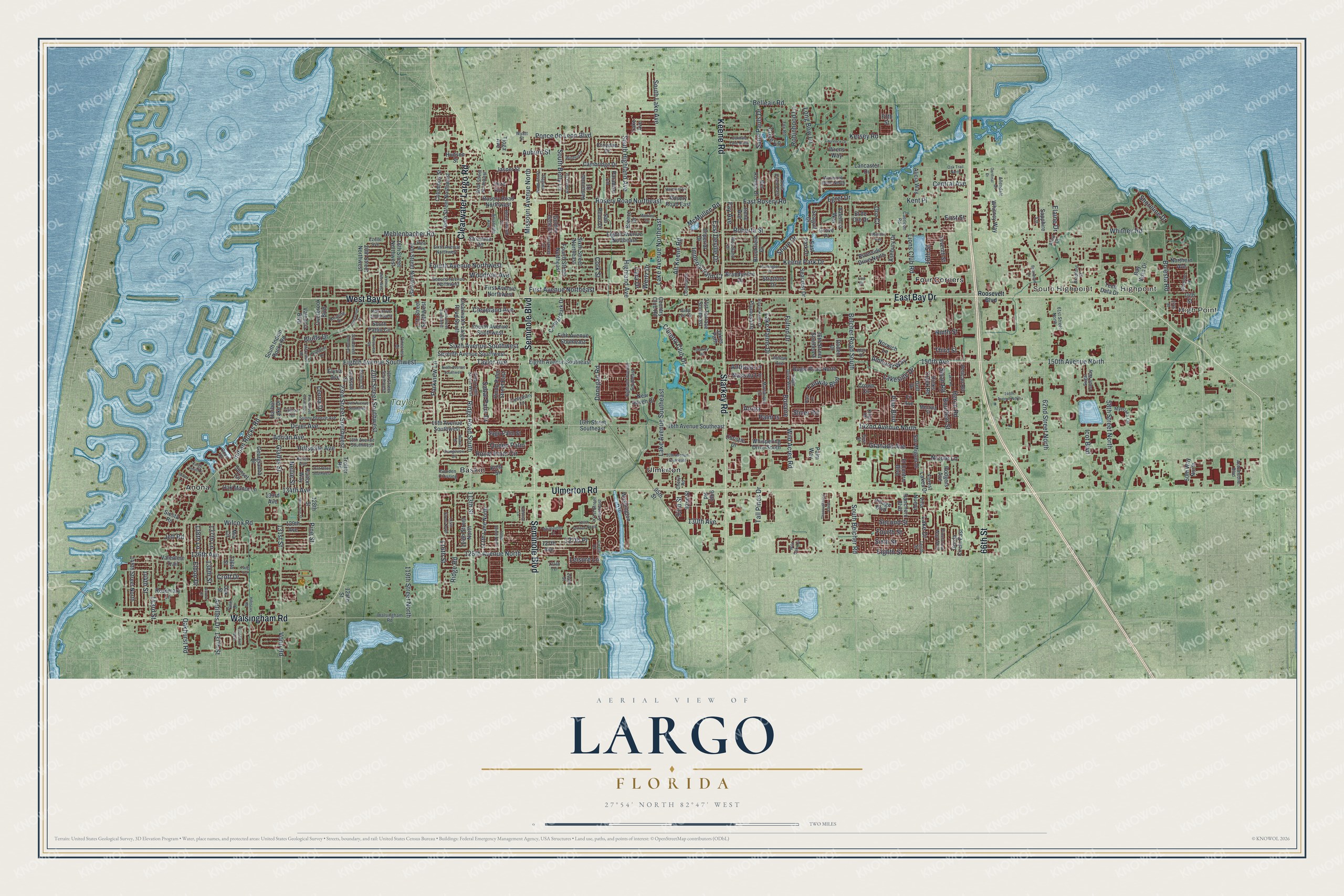
Explore Largo, Florida from a whole new perspective. Created using aerial imagery and detailed geographic data, this map captures Largo building by building, with labeled streets, familiar landmarks, and shaded topographical relief that highlights the natural contours of the landscape.
Combining modern data with the timeless character of a vintage atlas, this map is just as interesting up close as it is beautiful on the wall. Whether you grew up in Largo, spent memorable years there, or call it home today, this unique map is a great way to celebrate a place that means something to you. Zoom in on the preview to look for your street, and then order a print to put your memories on the wall.
Three ways to hang it
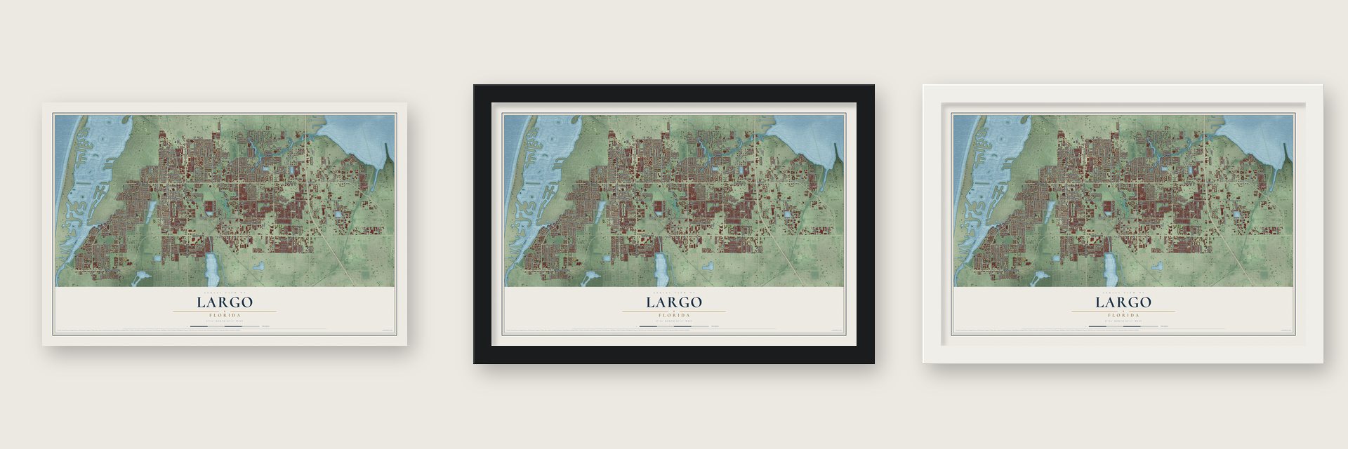
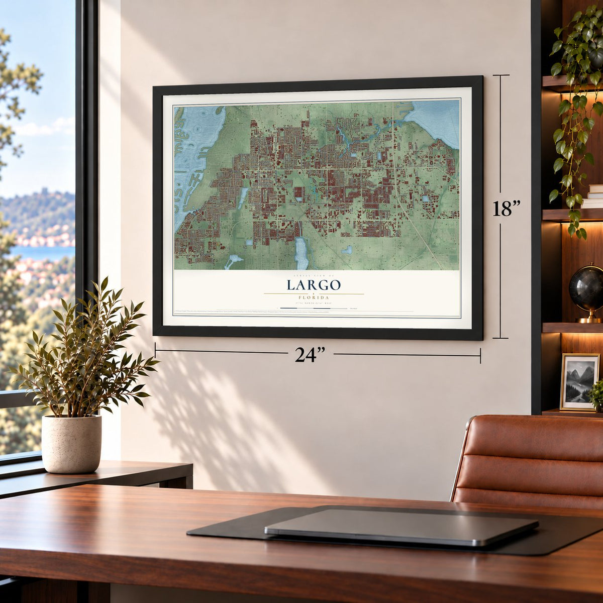
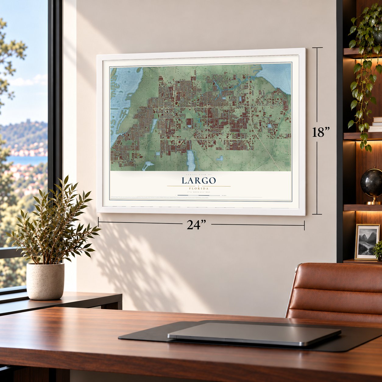
Unframed archival matte, a black wood frame or a white wood frame.
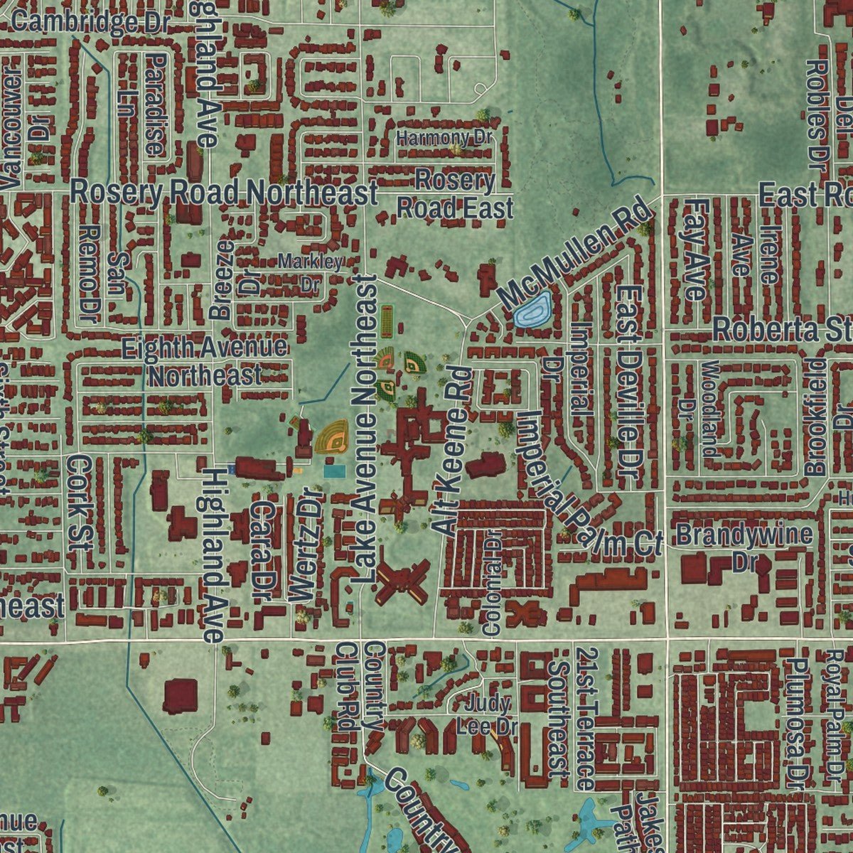
Up close
Geography Worth Displaying
This map was created using accurate cartographic data and authoritative geographic sources, including the U.S. Geological Survey (USGS) and FEMA. The map brings together terrain, waterways, roads, and building detail. The majority of the streets are labeled, houses are accurately depicted, and the topography is derived from government sources. Combining local data with carefully composed color and shading leads to this beautifully detailed Largo artwork for your wall.
Rather than simply showing street outlines, we’ve included as many of the street names as we could reasonably fit on the map while keeping their names legible. Zoom in on the high resolution preview to see exactly what’s on the map. We truly set out to create a statement piece for anyone who loves Largo. So whether it’s for you, or a gift for someone you love, we hope this map of Largo brings back fond memories.
Explore the full map of Largo, Florida and read about the local places it shows.

About Largo, Florida
Largo is a Florida community in Pinellas County. The 2020 census recorded 82,485 residents.
- Pinellas CountyLargo is located in this Florida county.
- 82,485 residentsThe community reached this population in the 2020 census.
- Incorporated in 1905Largo was incorporated in 1905.
Find your street
Names on the Largo map
Every name below is printed on this map. Look for your street, your school, the park where you played, or the pond down the road.
Places and landmarks8
- High Point
- Highpoint
- South Highpoint
- Taylor Park
- Anona
- Baskin
- Four Corners
- Ulmerton
Streets and roads350
- Ulmerton Road
- East Bay Drive
- Seminole Boulevard
- Starkey Road
- Walsingham Road
- West Bay Drive
- Keene Road
- Clearwater Largo Road
- 66th Street
- Second Street
- 150th Avenue North
- 126th Avenue North
- Lakeside Drive
- 150th Avenue
- 134th Avenue
- 113th Street
- Vonn Road
- Long Bow Lane
- Eighth Street
- Antiqua Lane
- South Belcher Road
- Belcher Road South
- Eighth Avenue Southwest
- Taylor Avenue
- Indian Rocks Road
- 142nd Avenue North
- Highland Avenue
- 58th Street North
- Third Street
- First Street
Show all 350 streets
- 62nd Street North
- Rosery Road Northeast
- Royal Palm Circle
- 131st Street
- Belleair Road
- 20th Street Southwest
- Fourth Street
- Pine Street
- Lake Drive
- 137th Street
- Lake Avenue Southeast
- Missouri Avenue North
- Ridge Road South
- Wilcox Road
- Whitney Road
- 130th Avenue
- Sixth Street
- Sixth Avenue Southwest
- 23rd Street Southwest
- Keene Park Drive
- South Lake Avenue
- Ridge Road
- Tall Pines Drive
- Country Club Drive
- Ponce de Leon Boulevard
- Fourth Avenue Northwest
- Lake Avenue Northeast
- Adrian Avenue
- Alt Keene Road
- Kent Place
- Bolesta Road
- Imperial Palm Court
- Dryer Avenue
- Hillsdale Avenue
- Fairway Boulevard
- 119th Street North
- South Highland Avenue
- Ninth Street
- Lake Palms Drive
- Croft Drive
- 143rd Street
- McMullen Road
- Shoreline Drive
- South Betty Lane
- Donegan Road
- Saint Pauls Drive
- Heron Road
- First Avenue Northeast
- Cleveland Avenue
- Mehlenbacher Road
- Roberta Street
- Parkview Lane
- Gladys Street
- Fulton Drive
- East Rosery Road
- Lions Club Road
- Granada Avenue
- Icot Boulevard
- Sabal Palm Drive
- 126th Avenue
- Wild Acres Road
- Antilles Drive
- Bonaire
- Auburn Street
- Bluffs Drive
- 127th Place
- Central Avenue
- East Deville Drive
- Woodrow Avenue
- 138th Street
- 144th Street
- 116th Street
- Shore Drive
- Cork Street
- Bourbon Street
- Robinhood Lane
- Egret Drive
- Nassau Lane
- Amhurst Way
- Leona Drive
- Queen Palm
- Nicole Lane
- Oakhurst Road
- Wertz Drive
- 93rd Street
- Cove Lane
- Pine Boulevard
- 137th Lane
- Eldon Drive
- 138th Lane
- Swan Road
- Elaine Drive
- Leisure Lane
- Kersey Road
- Fay Avenue
- Nellie Street
- Palm Is
- Slicer Road
- Aruba
- Jeff Road
- 16th Street
- Oro Court
- Cara Drive
- 36th Street Southeast
- Gulf Drive
- 16th Street Southeast
- 16th Avenue Southeast
- Fifth Street
- Washington Avenue
- 16th Avenue Southwest
- Seventh Avenue Southwest
- Tenth Street Northwest
- Trotter Road
- Seventh Street
- Rosery Road Northwest
- Bay Vista Drive
- Clearwater Largo Road South
- Seacrest Drive
- Eighth Avenue Northeast
- 128th Street
- Fourth Avenue Southwest
- Pindo Palm Street East
- Oak Manor Lane
- Central Park Drive
- Cambridge Drive
- Whitney Way
- Eighth Avenue Southeast
- Country Club Road
- Golden Gate Drive
- Rosery Road East
- 14th Street Northwest
- Sixth Street Northeast
- Jasper Street
- King Street
- First Avenue Northwest
- Stratford Drive
- 20th Street Northwest
- Fourth Street Northeast
- Wrens Way
- 145th Street North
- 111th Lane North
- Imperial Drive
- Whispering Drive South
- Riverside Drive North
- Brookfield Drive
- Bogie Road North
- Crown Circle
- Ranchero Boulevard
- Village Boulevard
- Ashbury Drive
- 127th Avenue
- 50th Way North
- 114th Street North
- Alicia Way
- San Miguel Drive
- South Indian Rocks Road
- New Haven Drive
- Christie Drive
- 16th Street Northwest
- Valencia Way
- Georgianna Drive
- Harbor Lake Drive
- Lancaster Drive
- Oak Street
- Lake Avenue
- Sago Palm Street
- Jakes Path
- 14th Street
- Dicks Creek Road
- Rodgers Avenue
- Forest Lakes Drive
- Fifth Avenue Southeast
- Breeze Drive
- Del Robles Drive
- Stremma Road
- Plumosa Drive
- 21st Terrace Southeast
- Columbus Street
- Valentine Trail
- Rosemary Lane
- Pelican Road
- Brandywine Drive
- Northern Avenue
- 92nd Street
- 13th Street Southwest
- Overbrook Boulevard
- Sunset Circle
- Paradise Lane
- Vancouver Drive
- Seagull Drive
- San Remo Drive
- Irene Avenue
- Gorda Circle East
- Croydon Drive
- South Patlin Circle
- Jackson Street
- Palm Way
- El de Oro Drive
- East Park Drive
- Tech Data Drive
- 133rd Avenue
- Valencia Boulevard
- Norwich Lane
- El Centro Boulevard
- Siesta Road
- Sapphire Lane
- Fulton Way
- 129th Avenue
- Fir Avenue
- Hudson Street
- Villa Nueva
- Rodeo Drive
- Grove Place
- 125th Street
- Tioga Avenue
- Elyria Avenue
- Mia Circle
- 136th Street
- Third Avenue
- 95th Street
- 90th Road
- Roosevelt Boulevard
- Regina Drive West
- Sixth Street Northwest
- Pindo Palm Street West
- Tenth Street
- Second Avenue Northwest
- Beechwood Lane
- Sixth Avenue Northwest
- Myerlake Circle
- Willow Avenue
- Judy Lee Drive
- Sunny Breeze Avenue
- Arrandale Avenue
- Parakeet Lane
- Eagle Drive West
- Highland Avenue Southeast
- Canterbury Lane
- 18th Avenue Southwest
- Martinique Lane
- Caerleon Road
- Circle Drive
- 101st Street Southeast
- Royal Palm Drive
- Bradford Street
- Gooden Crossing
- Karen Avenue
- 18th Street Southwest
- 61st Street North
- Keating Drive
- Wyatt Street
- Alberta Drive
- Bamboo Lane
- Automobile Boulevard
- Arvis Circle East
- Meeting Street
- Pinecrest Drive
- Wateroak Drive North
- Woodland Drive
- Pineforest Way West
- Colonial Drive
- Allendale Drive
- Palm Drive
- Sugar Cane Way
- Parr Lane
- Kay Drive Southwest
- Ezelle Avenue
- Britton Street
- Fox Road
- Clifton Terrace
- Cheryl Road
- Cove Drive
- Pine Avenue
- Arbor Court
- Alan Drive
- 104th Street
- Kings Road
- 124th Terrace
- 27th Street
- 14th Avenue Southwest
- Tenth Street Southwest
- Lake Road
- Mary Sue Street
- Whittington Court
- Thoroughbred Loop
- Crescent Drive
- Huntington Drive
- 129th Terrace North
- Briarwood Drive
- 22nd Street Southwest
- 115th Street North
- 146th Avenue North
- Kings Point Drive
- Harmony Drive
- 21st Place Southwest
- Wild Oaks Circle
- Gatewood Drive
- Laurence Drive
- Twig Terrace
- Windsor Drive
- 109th Street North
- Ninth Avenue Southwest
- Orangeview Drive
- 20th Avenue Southeast
- Velma Drive West
- Oakdale Lane North
- Markley Drive
- Pine Street Southwest
- Westbury Avenue
- Hibiscus Road
- Seton Lane
- Oval Drive West
- Cardinal Lane
- Westview Road
- McCrillus Road
- Madrid Drive
- Oak Trail North
- Cardinal Drive
- Aurora Court
- Coit Road
Names are listed as they appear on the printed map. Zoom into the product photos to find them.
The art of mapping a place
How This Map Was Made
Real places. Remarkable detail. Discover the layers that turn geographic data into a map of home.

The view from above
Aerial imagery reveals the character of the land: woodland, open fields, and the patterns of a place.

The shape of the land
Elevation data brings hills, valleys, and subtle changes in the landscape into view.

The details of home
Roads, waterways, and building footprints come together to make the map feel unmistakably local.

Geography becomes art
Considered color, shading, and typography bring the layers together in a map made for your wall.


Process illustrated with Mendon, Massachusetts. Aerial imagery: USDA NAIP. Terrain: USGS 3D Elevation Program. Map details and finished artwork: KNOWOL.
The Details
About This Print
Choose an archival matte print, or a black or white Ayous wood frame. The archival matte print is unframed.
Select your size and finish above to see the matching product image and price.
Materials & Craftsmanship
A contemporary map with the character of a classic atlas, printed on archival matte paper. Optional frames are made from Ayous wood.
Your printed map does not include the watermark shown in the full-map preview.
Shipping & Delivery
Free shipping within the United States. Every print is made to order in the USA.
Buying a gift? Add a note in your cart and we'll include it. We never put prices in the package.
Prints ship within 2 to 3 business days. Allow 7 to 10 days total from ordering for delivery. Timing may vary during holidays or periods of high order volume.
Read our shipping policy.
Returns and damaged prints
Each print is made to order. Change-of-mind refunds are not available after production.
If your print arrives damaged, misprinted or incorrect, contact support@knowol.com within 30 days of receiving it. Include your order number, photos and a description of the issue.
Read our full refund and replacement policy. For questions about your order, email support@knowol.com.
Find your town
Looking for another city?
Find a map of home in our Florida collection, or any town in the country.
Nearby
Maps of towns near Largo
Know someone from one of these towns? Their map makes a great gift.
 Ridgecrest
, Florida
From $39.99See the map
 Walsingham
, Florida
From $39.99See the map
 Belleair Bluffs
, Florida
From $39.99See the map
More maps nearby: Belleair, Harbor Bluffs, Cross Bayou, Bardmoor and South Highpoint.