
Search for another town



Free U.S. delivery 7 to 10 days after you order
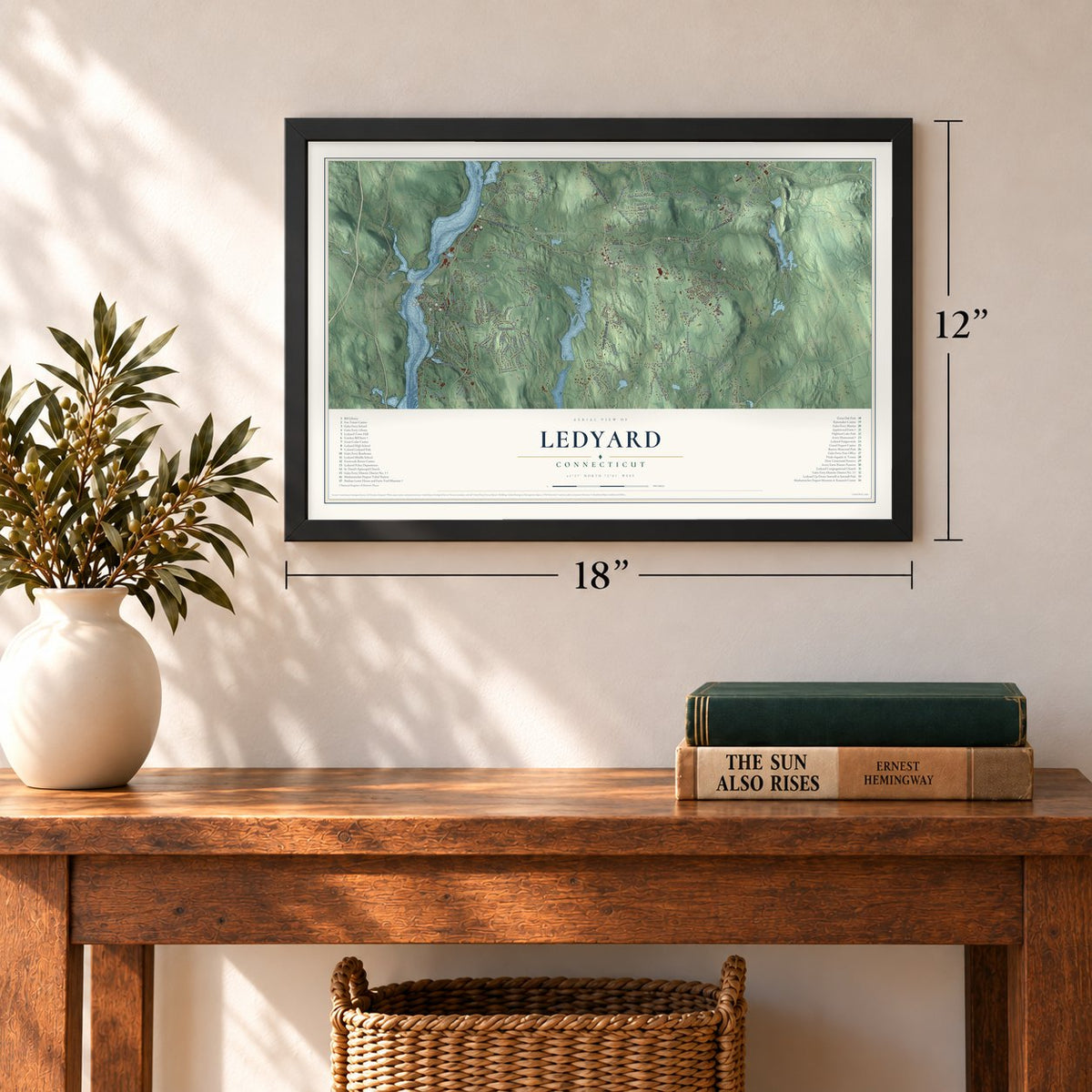
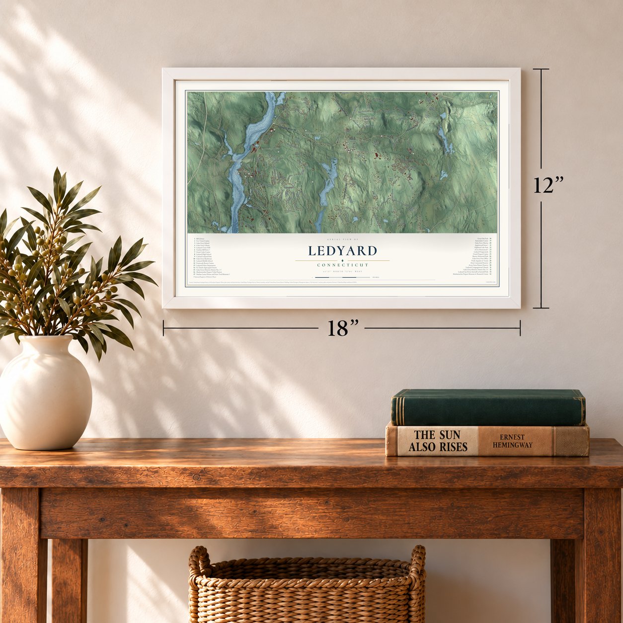
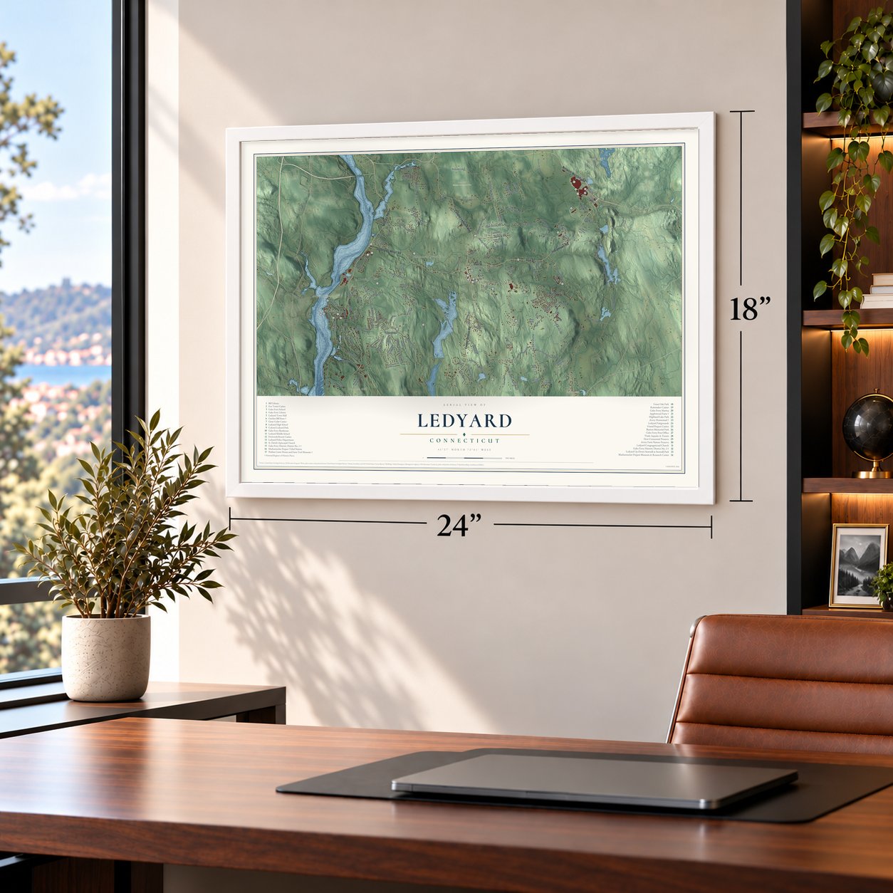
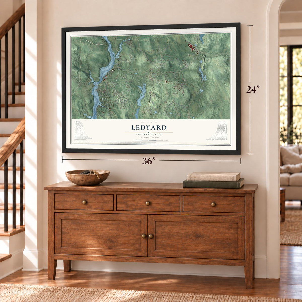
Ledyard, Connecticut Map Art
Building by building, with labeled streets and shaded relief.
12" x 18" Archival Matte Print
A Map of Home. A Work of Art.
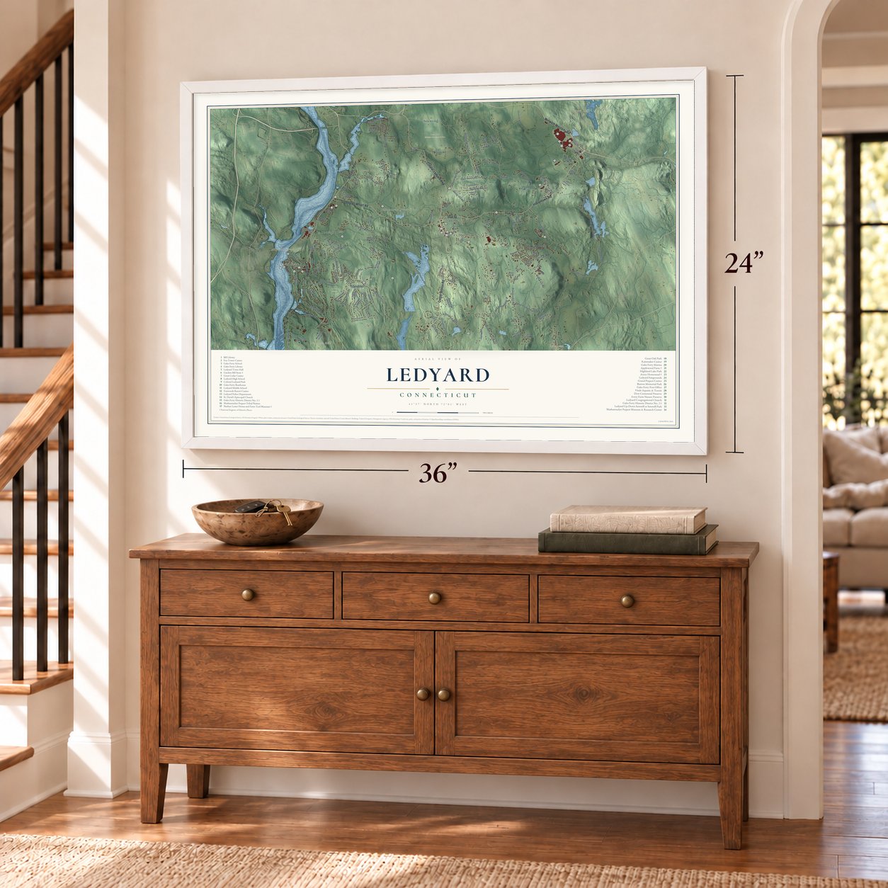
Explore Ledyard, Connecticut from a whole new perspective. Created using aerial imagery and detailed geographic data, this map captures Ledyard building by building, with labeled streets, familiar landmarks, and shaded topographical relief that highlights the natural contours of the landscape.
Combining modern data with the timeless character of a vintage atlas, this map is just as interesting up close as it is beautiful on the wall. Whether you grew up in Ledyard, spent memorable years there, or call it home today, this unique map is a great way to celebrate a place that means something to you. Zoom in on the preview to look for your street, and then order a print to put your memories on the wall.

Three ways to hang it
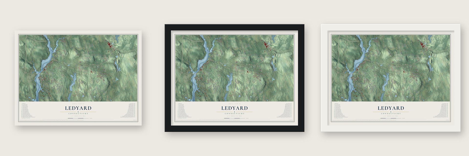
Unframed archival matte, a black wood frame or a white wood frame.
Up close
Geography Worth Displaying
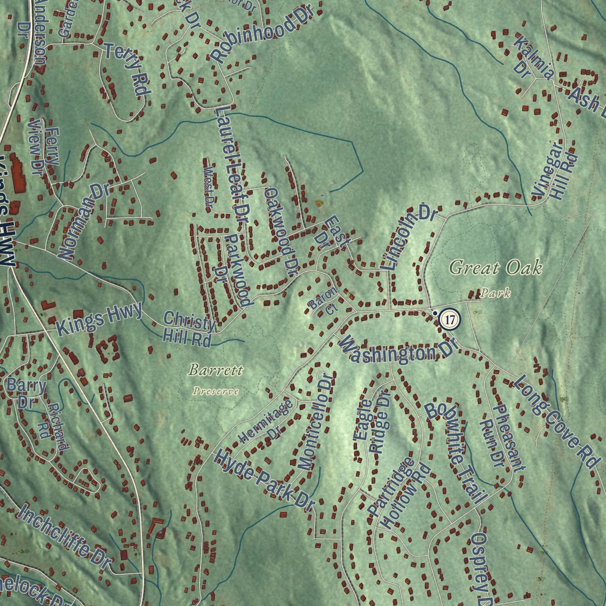
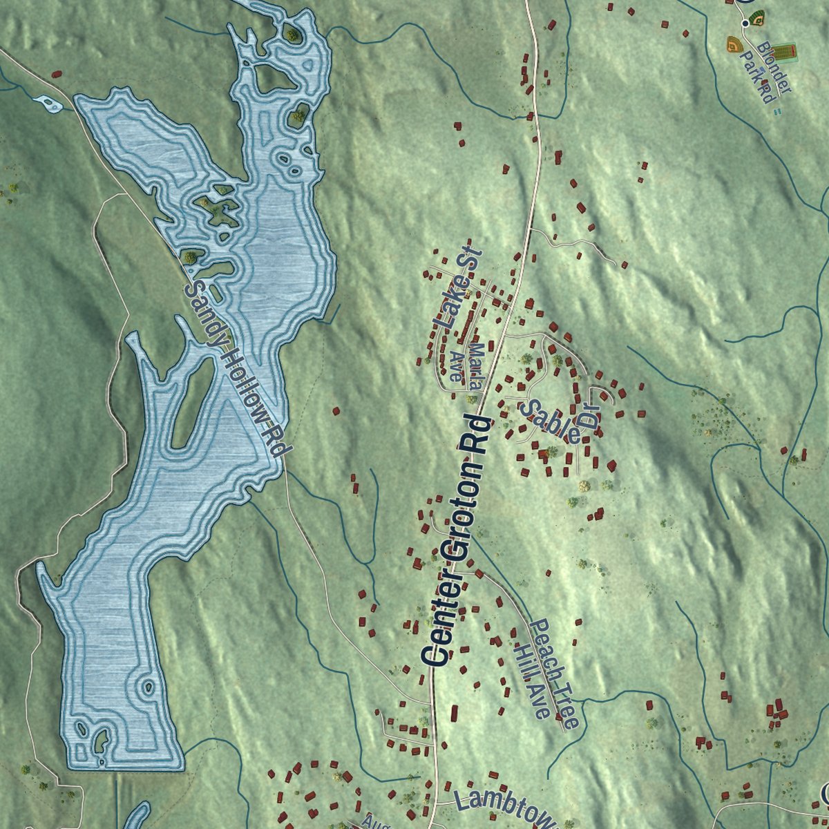
This map was created using accurate cartographic data and authoritative geographic sources, including the U.S. Geological Survey (USGS) and FEMA. The map brings together terrain, waterways, roads, and building detail. The majority of the streets are labeled, houses are accurately depicted, and the topography is derived from government sources. Combining local data with carefully composed color and shading leads to this beautifully detailed Ledyard artwork for your wall.
Rather than simply showing street outlines, we’ve included as many of the street names as we could reasonably fit on the map while keeping their names legible. Zoom in on the high resolution preview to see exactly what’s on the map. We truly set out to create a statement piece for anyone who loves Ledyard. So whether it’s for you, or a gift for someone you love, we hope this map of Ledyard brings back fond memories.
Explore the full map of Ledyard, Connecticut and read about the local places it shows.

Find your street
Names on the Ledyard map
Every name below is printed on this map. Look for your street, your school, the park where you played, or the pond down the road.
Places and landmarks14
- Downtown
- Gales Ferry
- Allyn Point
- Allyn Mountain
- Avery Hill
- Ayer Hill
- Baldwin Hill
- Billings Avery Diversion Pond
- Hyde Pond
- Barrett Preserve
- Great Oak Park
- Rose Hill Wildlife Management Area
Show all 14 places
- Quakertown
- Ledyard Center
Streets and roads146
- Military Highway
- Indiantown Road
- Colonel Ledyard Highway
- Center Groton Road
- Kings Highway
- Iron Street
- Norwich Westerly Road
- Stoddards Wharf Road
- Ash Drive
- Homestead Road
- Shark Boulevard
- Lantern Hill Road
- Lambtown Road Extended
- Sable Drive
- Shewville Road
- Long Cove Road
- Gallup Hill Road
- Whalehead Road
- Avery Hill Road
- Pumpkin Hill Road
- Sandy Hollow Road
- Lambtown Road
- Pequot Trail
- Spicer Hill Road
- Meeting House Lane
- Rose Hill Road
- Silas Deane Road
- Thomas Road
- Church Hill Road
- Mathewson Mill Road
Show all 146 streets
- Coachman Pike
- Inchcliffe Drive
- Town Farm Road
- Fox Trail
- Bittersweet Drive
- Fanning Road
- Seabury Avenue
- Robinhood Drive
- Terry Road
- Chriswood Trce
- Haley Road
- Laurel Leaf Drive
- Gray Farm Road
- Norman Drive
- Arrowhead Drive
- Saw Mill Drive
- Hyde Park Drive
- Osprey Drive
- Michael Lane
- Lake Street
- Lincoln Drive
- Washington Drive
- Lynn Drive
- Bobwhite Trail
- Pinelock Drive
- River Drive
- Barton Lane
- Goulart Road
- Whitford Road
- Bluff Road
- Village Drive
- Deer Lane
- Cliff Road
- Trolley Line Boulevard
- Vinegar Hill Road
- Christy Hill Road
- Partridge Hollow Road
- Pheasant Run Drive
- Eagle Ridge Drive
- Long Pond Road South
- Foxwoods Boulevard
- Gallup Hill Road Extended
- Chapman Lane
- Highland Drive
- Overlook Road
- Kate Swamp Road
- Muhshee Mahchaq
- Baldwin Hill Road
- Barry Drive
- Peach Tree Hill Avenue
- Shewville Kate
- Monticello Drive
- Friar Tuck Drive
- Fairway Drive
- Ephraims Path
- Jessica Lane
- Avebury Berwick
- Wahoo Avenue
- Sunset Avenue
- Bolduc Drive
- Naomi Drive
- Oakwood Drive
- Oakridge Drive
- Ferry View Drive
- Paint Mill Drive
- Albatross Drive
- Red Brook Lane
- Chidley Way
- Parkwood Drive
- East Drive
- Anderson Drive
- White Pine Road
- Oak Hills Trail
- Wicklow Turn
- Eska Drive
- Phillip Lane
- Thresher Avenue
- Erins Way
- Kalmia Drive
- Clark Lane
- Melanie Lane
- Richard Road
- Harvard Terrace
- Flintlock Road
- Lakeside Drive
- Hermitage Drive
- Hillcrest Avenue
- Dow Chemical Road
- Marla Avenue
- Annie George Drive
- Gonch Farm Road
- Willow Lane
- Garden Drive
- Center Drive
- Pennywise Lane
- Reuven Drive
- Fargo Drive
- Fawn Drive
- Stonybrook Road
- Avery Hill Road Extended
- Blonder Park Road
- Queen Eleanor Drive
- Meadow Drive
- Tanager Lane
- West Drive
- Brewster Drive
- Maple Terrace
- Whippoorwill Drive
- Tuckers Run
- Cartridge Trail
- Whippel Road
- August Meadows
- Autumn Way
- Forest Lane
- Baron Court
- York Court
Names are listed as they appear on the printed map. Zoom into the product photos to find them.
About Ledyard, Connecticut
Ledyard is a town of 15,413 people in New London County, on the east bank of the Thames River. Robert Allyn, Thomas Bayley, Robert Stoddard and John Gager farmed its western edge in the mid-1600s and used the river to get around. In 1724 the legislature made this north end of Groton a parish called North Groton, and in November 1726 its people surveyed the parish to find the exact center for their meetinghouse.
The center fell forty or fifty rods off one corner of Capt. John Morgan's goat pasture. More than a century later, on June 1, 1836, North Groton was incorporated as a town of about two thousand people. It took the name of Col. William Ledyard, who led the defense of Fort Griswold and was killed there in the Battle of Groton Heights in 1781. Ten days later its voters chose Capt. Henry Hallett, Noah Davis and Capt. Anson Avery as their first selectmen.
“There are probably but few States in the Union that cannot reckon a native of Ledyard among their citizens.”
- Quakertown's gabled meetinghouseIn 1815 the Rogerenes of Quakertown raised a meetinghouse with many gables. It's said to be framed from trees knocked down by that September's gale and sawn at their own mill. The elder's family lived downstairs and the society met upstairs.
- Quakertown's hidden refugeFrom about 1830 to 1850, freedom seekers on the Underground Railroad were hidden in the Rogerene meetinghouse and moved on at night, and mobs attacked its people more than once for it. They held to peace as well: in 1871 James E. Whipple chose weeks behind bars in Norwich over paying the military tax.
- A ferry since 1740A ferry began crossing the Thames in 1740 at the village now called Gales Ferry. It took its name from Roger Gale, who owned it from 1759 to 1764. In 1803 an old Separate meetinghouse was moved to the village, and Methodists held services in it for more than fifty years. Today Yale's heavyweight men's crew trains at a camp by the old landing for the yearly Harvard-Yale Regatta on the Thames.
- Gurdon Bill's country storeIn 1818 Gurdon Bill and Philip Gray purchased land north of Ledyard Center for a store, and Bill kept it running until shortly before he died in 1856. The Congregational Society bought the building in 1875 and left it unused, so its L-shaped counter, pine shelves and built-in drawers survived. The Gurdon Bill Store joined the National Register in 1982, and no store from the early 19th century in Connecticut is known to be in better condition.
- Pequot land at MashantucketIn 1665 lands at Mashantucket were laid out for Cassasinamon and his Pequot people. The colony confirmed about 3,000 acres there in 1666. Some families planted there at once, and the rest came inland after Groton claimed their Noank land in 1712. The state shrank the reservation to 216 acres in 1856.
Keep exploring Connecticut
Ledyard is one of 376 Connecticut towns we've mapped. Every dot on the map is a print of its own.
The search covers every state, Connecticut first.
Near Ledyard
Order 2 or more town maps and save 10%. Shown in the size and finish you picked above, so they hang as a set.
- Mashantucket 12" x 18" / Archival Matte Print $39.99
- Gales Ferry 12" x 18" / Archival Matte Print $39.99
- Conning Towers-Nautilus Park 12" x 18" / Archival Matte Print $39.99
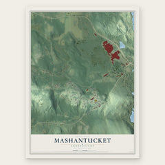
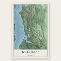
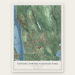
More maps nearby: Old Mystic, Mohegan, Oxoboxo River, Groton and Long Hill.
The art of mapping a place
How This Map Was Made
Real places. Remarkable detail. Discover the layers that turn geographic data into a map of home.

The view from above
Aerial imagery reveals the character of the land: woodland, open fields, and the patterns of a place.

The shape of the land
Elevation data brings hills, valleys, and subtle changes in the landscape into view.

The details of home
Roads, waterways, and building footprints come together to make the map feel unmistakably local.

Geography becomes art
Considered color, shading, and typography bring the layers together in a map made for your wall.


Process illustrated with Mendon, Massachusetts. Aerial imagery: USDA NAIP. Terrain: USGS 3D Elevation Program. Map details and finished artwork: KNOWOL.
The Details
About This Print
Choose an archival matte print, or a black or white Ayous wood frame. The archival matte print is unframed.
Select your size and finish above to see the matching product image and price.
Materials & Craftsmanship
A contemporary map with the character of a classic atlas, printed on archival matte paper. Optional frames are made from Ayous wood.
Your printed map does not include the watermark shown in the full-map preview.
Shipping & Delivery
Free shipping within the United States. Every print is made to order in the USA.
Buying a gift? Add a note in your cart and we'll include it. We never put prices in the package.
Prints ship within 2 to 3 business days. Allow 7 to 10 days total from ordering for delivery. Timing may vary during holidays or periods of high order volume.
Read our shipping policy.
Returns and damaged prints
Each print is made to order. Change-of-mind refunds are not available after production.
If your print arrives damaged, misprinted or incorrect, contact support@knowol.com within 30 days of receiving it. Include your order number, photos and a description of the issue.
Read our full refund and replacement policy. For questions about your order, email support@knowol.com.