
Search for another town




Free U.S. delivery 7 to 10 days after you order
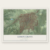
Lemon Grove, California Map Art
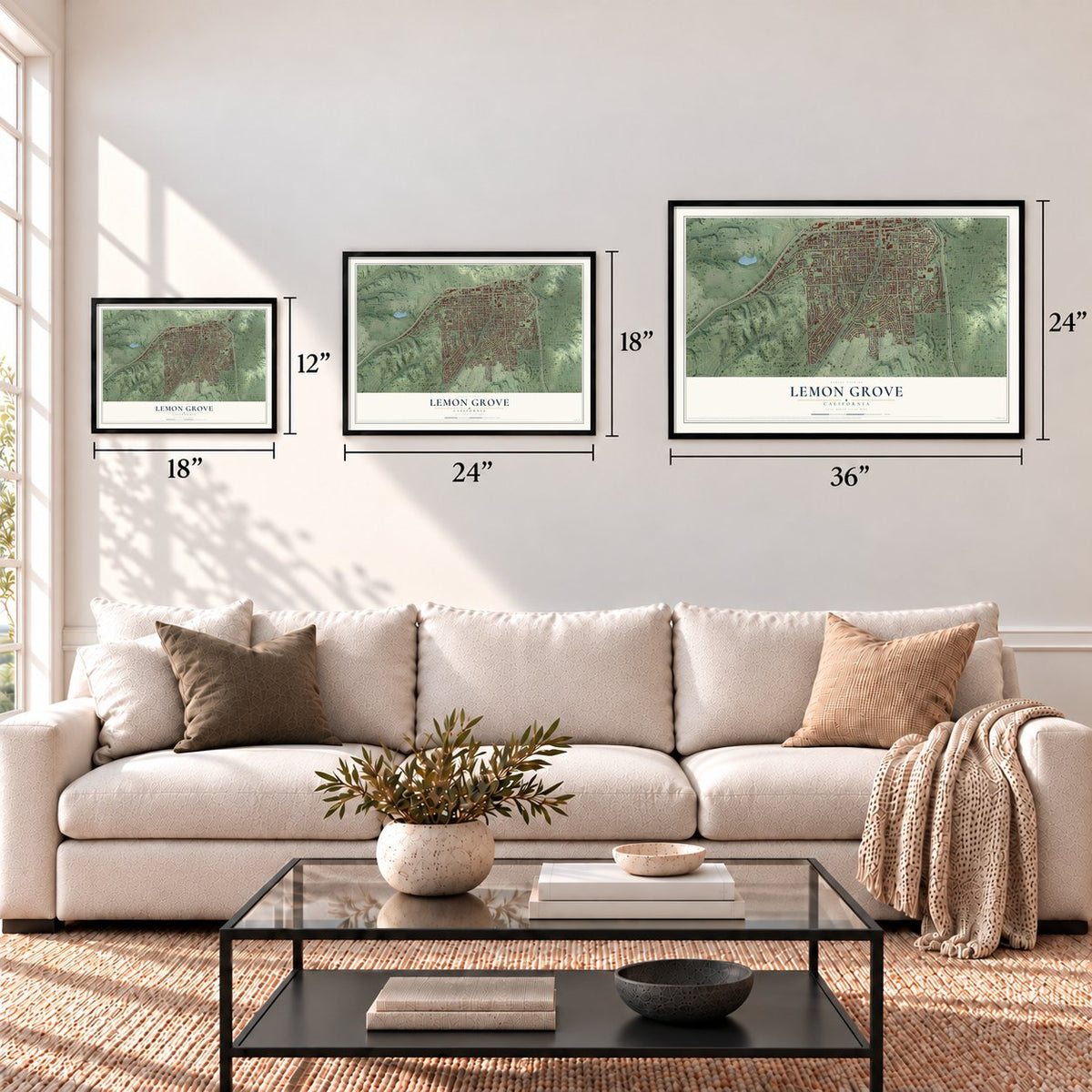
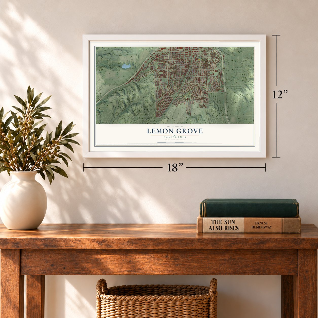
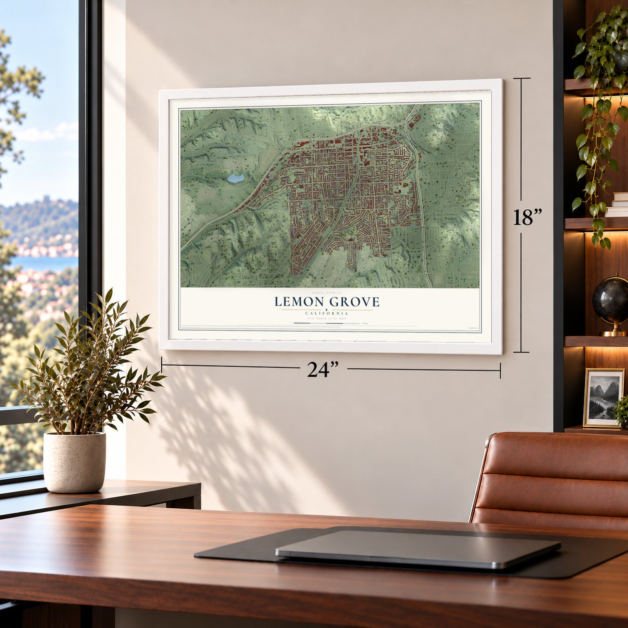
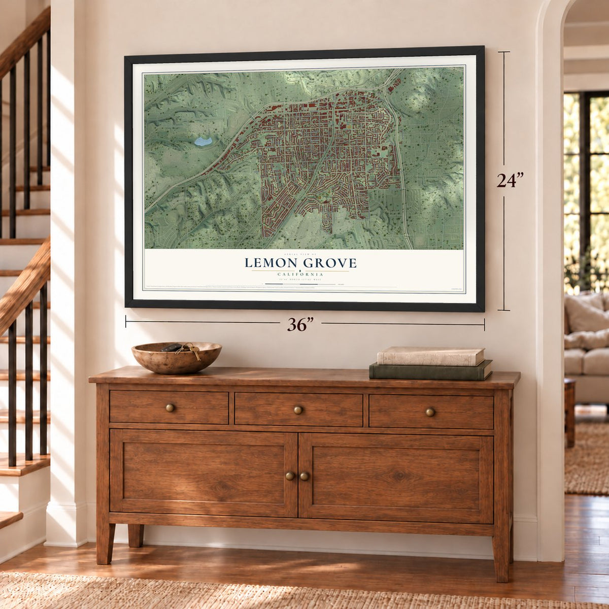
A new map of Lemon Grove, California, made in 2026 and printed to order on thick archival matte paper.
12" x 18" Archival Matte Print
A Map of Home. A Work of Art.
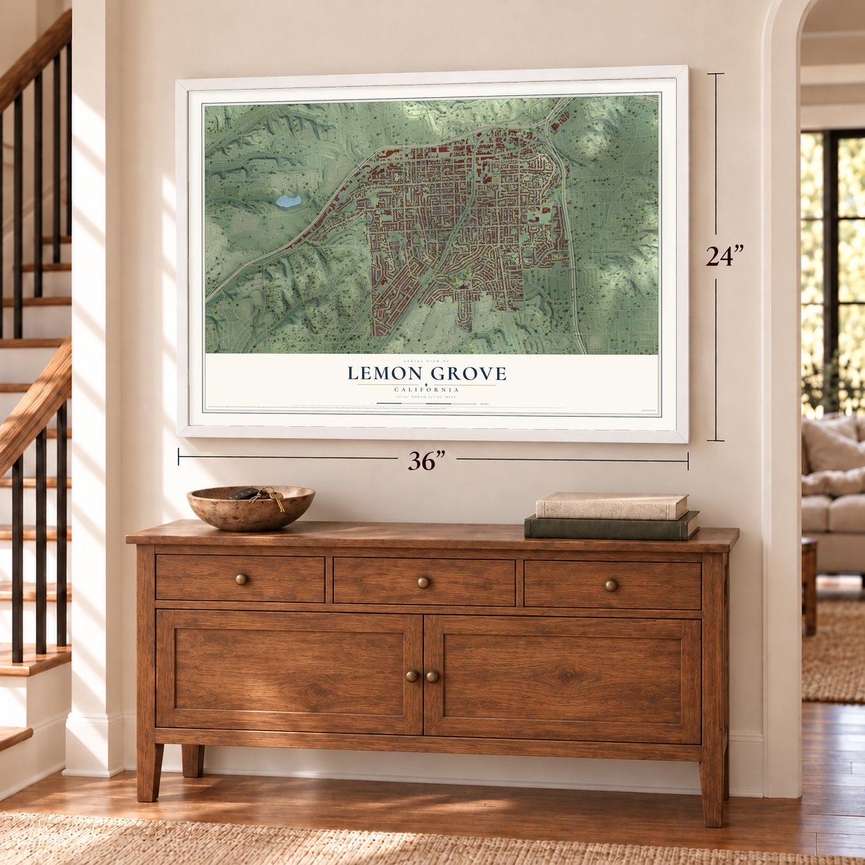
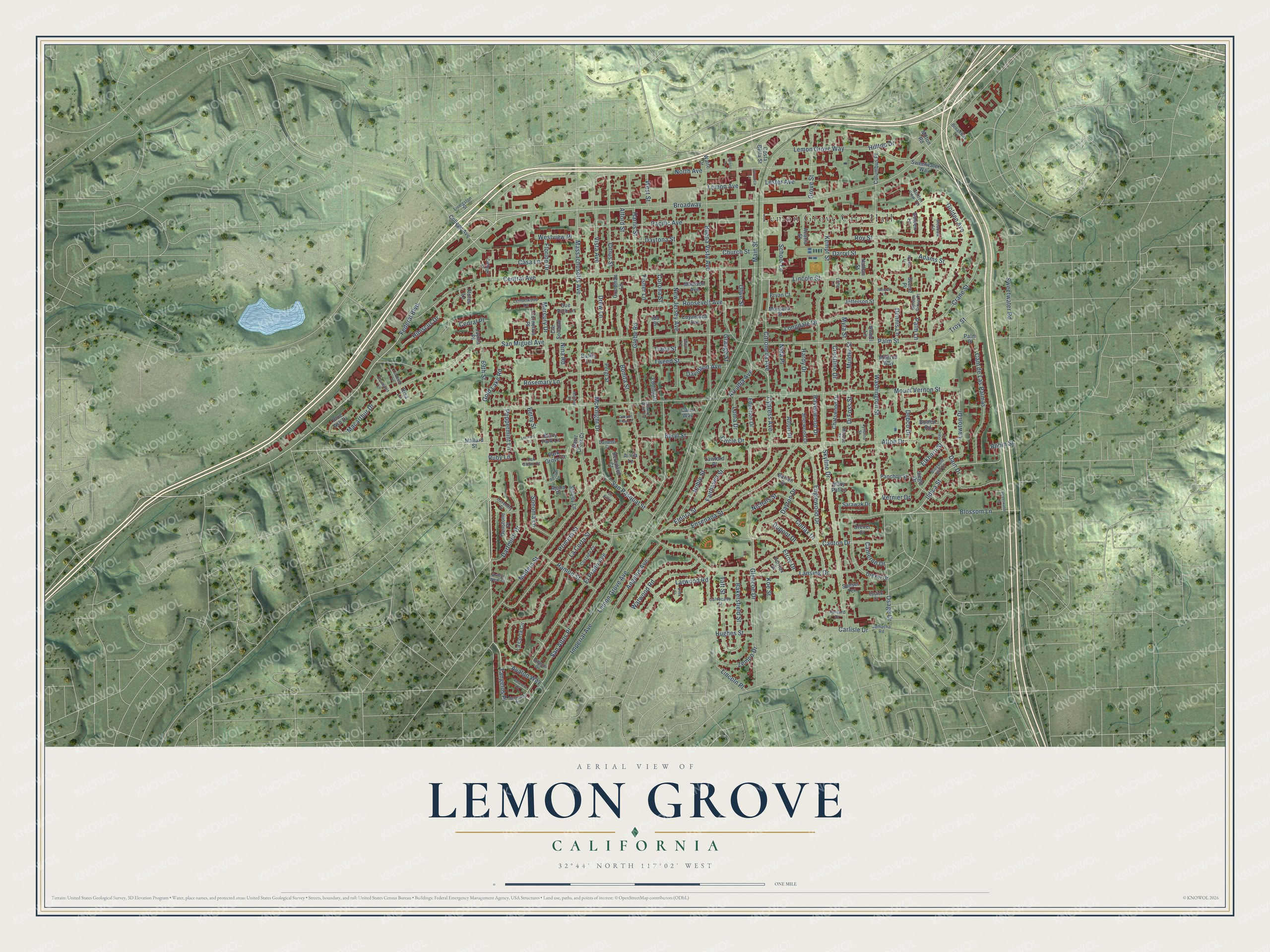
Explore Lemon Grove, California from a whole new perspective. Created using aerial imagery and detailed geographic data, this map captures Lemon Grove building by building, with labeled streets, familiar landmarks, and shaded topographical relief that highlights the natural contours of the landscape.
Combining modern data with the timeless character of a vintage atlas, this map is just as interesting up close as it is beautiful on the wall. Whether you grew up in Lemon Grove, spent memorable years there, or call it home today, this unique map is a great way to celebrate a place that means something to you. Zoom in on the preview to look for your street, and then order a print to put your memories on the wall.
Three ways to hang it
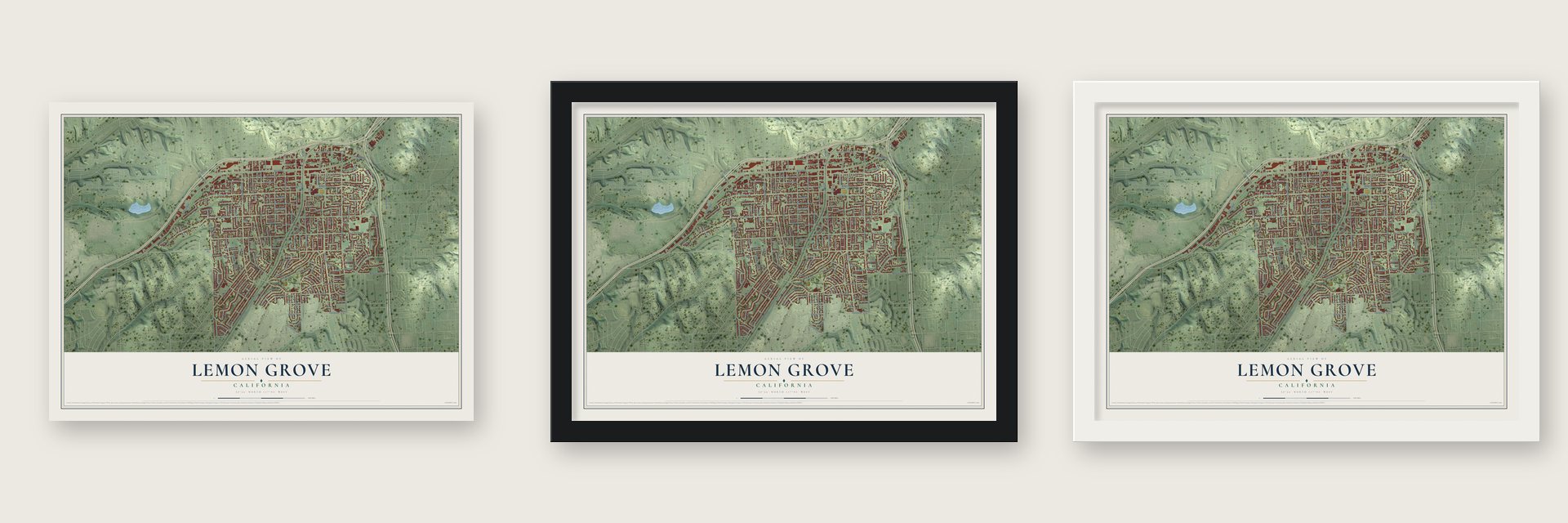
Unframed archival matte, a black wood frame or a white wood frame.
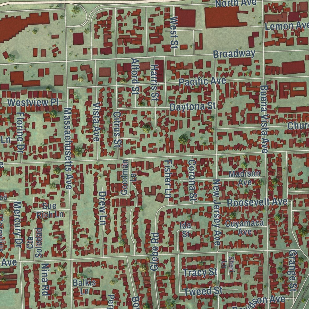
Up close
Geography Worth Displaying
This map was created using accurate cartographic data and authoritative geographic sources, including the U.S. Geological Survey and the Census Bureau. The map brings together terrain, waterways, roads, and building detail. The majority of the streets are labeled, houses are accurately depicted, and the topography is derived from government sources. Combining local data with carefully composed color and shading leads to this beautifully detailed Lemon Grove artwork for your wall.
Rather than simply showing street outlines, we’ve included as many of the street names as we could reasonably fit on the map while keeping their names legible. Zoom in on the high resolution preview to see exactly what’s on the map. We truly set out to create a statement piece for anyone who loves Lemon Grove. So whether it’s for you, or a gift for someone you love, we hope this map of Lemon Grove brings back fond memories.
Read the story behind this map of Lemon Grove, California from 2026.
About Lemon Grove, California
Lemon Grove is a city of 27,627 people in San Diego County. The land once belonged to Mission San Diego de Alcalá, and after Mexico won independence from Spain it became part of a grant of more than 59,000 acres to Santiago Argüello. Robert Allison came down from Sacramento in 1850 and bought thousands of acres from Argüello's heirs. Lemon Grove, La Mesa and Encanto, along with a piece of Spring Valley, stand on that land today.
Allison's son Joseph filed the subdivision maps for Lemon Grove in 1892, and the name is credited to his mother, Tempa Waterman Allison. The mild climate drew farmers from the East and Midwest. Growers formed the Lemon Grove Fruit Growers Association in 1893, and a year later the San Diego Union called the place "a sea of lemon trees." By World War II most of the groves were gone and houses had taken their place. Voters fought over incorporation in four elections from the 1950s to the 1970s, and the city finally became California's 414th on July 1, 1977.
- The World's Biggest LemonAlberto O. Treganza, a local architect, designed the lemon to ride in the Fiesta de San Diego on the Fourth of July, 1928. It carried his 16-year-old daughter Amorita, the town's first Miss Lemon Grove. In 1930 the float was plastered into a permanent sculpture. It weighs some 3000 pounds, stands at Broadway and Lemon Grove Avenue, and its base reads "Best Climate On Earth."
- A school fight won in 1931When the local school board decided to build a separate school for Mexican American children, Juan De Dios Gonzalez led the parents in a court challenge. The case was brought in the name of Roberto Alvarez against the Lemon Grove School District's trustees, and the San Diego County Superior Court ruled for the families. It was the first major court victory against school segregation.
- A. Sonka and SonJoseph and Anton Sonka, brothers from Bohemia, lived in Seguin, Texas, and in San Diego before settling here, where they opened a well-known general store. Anton's eldest son, Tony Sonka, joined a committee of local ranchers that hired Treganza to build the giant lemon.
- Born in Lemon GroveMary Moore, a Lemon Grove native who lived from 1922 to 1962, played in the All-American Girls Professional Baseball League. The singer-songwriter Conan Gray was also born here.
Find your street
Names on the Lemon Grove map
Every name below is printed on this map. Look for your street, your school, the park where you played, or the pond down the road.
Places and landmarks1
- Lemon Grove City Hall
Streets and roads221
- Broadway
- 69th Street
- Federal Boulevard
- Blossom Lane
- Citronella Avenue
- Elkhorn Street
- San Miguel Avenue
- Ildica Street
- Palm Street
- Lemon Grove Avenue
- Mount Vernon Street
- Massachusetts Avenue
- Main Street
- Central Avenue
- Golden Avenue
- Skyline Drive
- Washington Street
- North Avenue
- El Prado Avenue
- Sweetwater Road
- Canton Drive
- Buena Vista Avenue
- San Altos Place
- Bonita Street
- Cypress Avenue
- Pacific Avenue
- Olive Street
- New Jersey Avenue
- Lincoln Street
- Madera Street
Show all 221 streets
- Glencoe Drive
- Alton Drive
- Lemon Grove Way
- Ensenada Street
- La Corta Street
- Bakersfield Street
- Primera Street
- Eldora Street
- Macarthur Drive
- Cam de Las Palmas
- Roy Street
- Dayton Drive
- Lansing Drive
- Berry Street
- Imperial Avenue
- Nichals Street
- Vista Avenue
- Dartmoor Drive
- Englewood Drive
- Glebe Road
- Citrus Street
- Dain Drive
- Longdale Drive
- Dupont Drive
- Tangelos Place
- McKnight Drive
- Watwood Road
- Troy Street
- Taft Street
- Rosemary Lane
- Grove Street
- Crane Street
- Kempf Street
- Harris Street
- Adams Street
- Corona Street
- Mercury Drive
- Church Street
- Angelus Avenue
- Roosevelt Avenue
- Larwood Road
- Colfax Drive
- Lincoln Place
- Noble Street
- West Street
- Ramon Street
- Osage Drive
- Lemon Avenue
- San Pasqual Street
- Daytona Street
- School Lane
- Fairhaven Street
- Elroy Drive
- Hibiscus Drive
- Lawton Drive
- Beryl Street
- Sonoma Lane
- Debco Drive
- Hardy Drive
- Zemco Drive
- Darryl Street
- Avalon Way
- Carlisle Drive
- Davidson Avenue
- Drew Lane
- Lester Avenue
- Loma Drive
- Ravenwood Drive
- Peppermint Lane
- Gold Lake Road
- Westview Place
- Arcadia Avenue
- Florine Drive
- Hughes Street
- Tweed Street
- Hilltop Drive
- Mulder Street
- Crestline Drive
- Circle Drive
- Grange Street
- Alton Place
- Cameron Drive
- Dennis Lane
- Alford Street
- Fisher Lane
- Di Foss Street
- Casa Lane
- Cedral Place
- Vernier Drive
- Robin Street
- Tracy Street
- Myra Street
- Nina Road
- Koe Street
- Ruby Lane
- Palm Lane
- Nida Place
- Mallard Street
- College Avenue
- Drexel Drive
- Madison Avenue
- La Corta Circle
- Siegle Drive
- Jefferson Street
- Barton Drive
- Berry Park Lane
- Sweetwater Way
- Denstone Place
- Chatswood Drive
- Columbus Place
- Berryland Court
- Goodman Lane
- Edgerton Drive
- Cuyamaca Avenue
- Sue Rich Lane
- Cornelius Place
- Acacia Street
- Sherwood Drive
- Sarawak Drive
- Park Grove Court
- Panchoy Street
- Bowen Road
- Montana Street
- Blue Ash Drive
- Edding Drive
- Jaynia Place
- Saint Croix Court
- Nathan Street
- Shirley Lane
- Carls Way
- Mary Pat Lane
- Cte Soledad
- Flores Lane
- Pergl Street
- Bryan Court
- Mildred Way
- Golden Lane
- Secret Place
- Ajohn Place
- Lawford Place
- Sunset Terrace
- Drexel Court
- Fairfax Drive
- Costa Bella Street
- Palm Place
- Milton Road
- Waite Drive
- Alicia Lane
- Risa Lane
- Balkis Lane
- Nomel Lane
- Ida Street
- College Place
- Blossom Hill Drive
- Calvocado Street
- Jamacha Road
- Lemonwood Lane
- Daventry Street
- Livingston Street
- Golden View Terrace
- Costada Court
- Golden Grove Place
- Eppick Court
- Broadway Lane
- Arthur Neal Court
- Meadow Lane
- Lyndine Street
- Oak Glenn Court
- Morose Street
- Camelot Court
- Alberdi Drive
- Sanford Drive
- Shady Acre Lane
- Sheri Lane
- Little Lane
- Sweetwater Drive
- Broadway Avenue
- Davenport Lane
- Lindholm Lane
- Russan Lane
- Valencia Court
- Citronica Lane
- Holliday Lane
- Svea Court
- Lerma's Court
- Iderdell Lane
- Canyon View Lane
- Wynell Lane
- Allison Lane
- Dain Court
- Cll Entre
Names are listed as they appear on the printed map. Zoom into the product photos to find them.
The art of mapping a place
How This Map Was Made
Real places. Remarkable detail. Discover the layers that turn geographic data into a map of home.

The view from above
Aerial imagery reveals the character of the land: woodland, open fields, and the patterns of a place.

The shape of the land
Elevation data brings hills, valleys, and subtle changes in the landscape into view.

The details of home
Roads, waterways, and building footprints come together to make the map feel unmistakably local.

Geography becomes art
Considered color, shading, and typography bring the layers together in a map made for your wall.


Process illustrated with Mendon, Massachusetts. Aerial imagery: USDA NAIP. Terrain: USGS 3D Elevation Program. Map details and finished artwork: KNOWOL.
The Details
About This Print
Choose an archival matte print, or a black or white Ayous wood frame. The archival matte print is unframed.
Select your size and finish above to see the matching product image and price.
Materials & Craftsmanship
A contemporary map with the character of a classic atlas, printed on archival matte paper. Optional frames are made from Ayous wood.
Your printed map does not include the watermark shown in the full-map preview.
Shipping & Delivery
Free shipping within the United States. Every print is made to order in the USA.
Buying a gift? Add a note in your cart and we'll include it. We never put prices in the package.
Prints ship within 2 to 3 business days. Allow 7 to 10 days total from ordering for delivery. Timing may vary during holidays or periods of high order volume.
Read our shipping policy.
Returns and damaged prints
Each print is made to order. Change-of-mind refunds are not available after production.
If your print arrives damaged, misprinted or incorrect, contact support@knowol.com within 30 days of receiving it. Include your order number, photos and a description of the issue.
Read our full refund and replacement policy. For questions about your order, email support@knowol.com.
Find your town
Looking for another city?
Find a map of home in our California collection, or any town in the country.
Nearby
Maps of towns near Lemon Grove
Know someone from one of these towns? Their map makes a great gift.
 La Presa
, California
From $39.99See the map
 La Mesa
, California
From $39.99See the map
 College Area
, California
From $39.99See the map
More maps nearby: Spring Valley, City Heights, Kensington-Talmadge, Casa de Oro-Mount Helix and Bonita.