
Search for another town


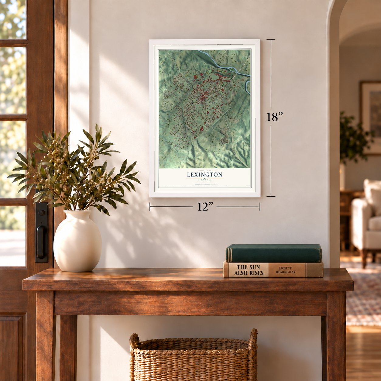
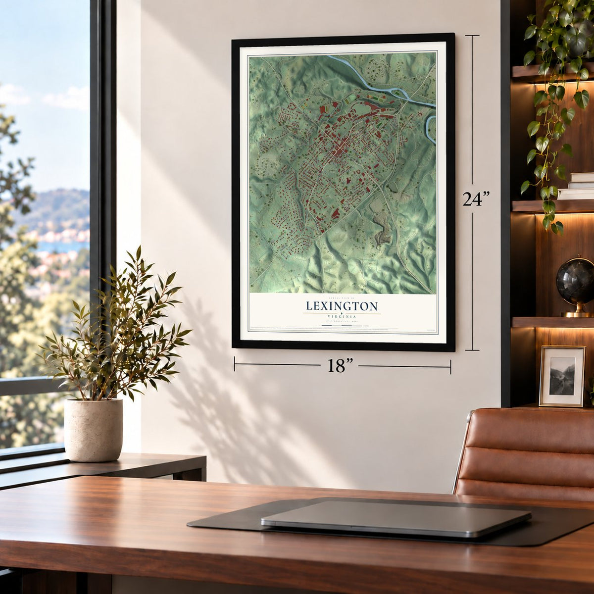
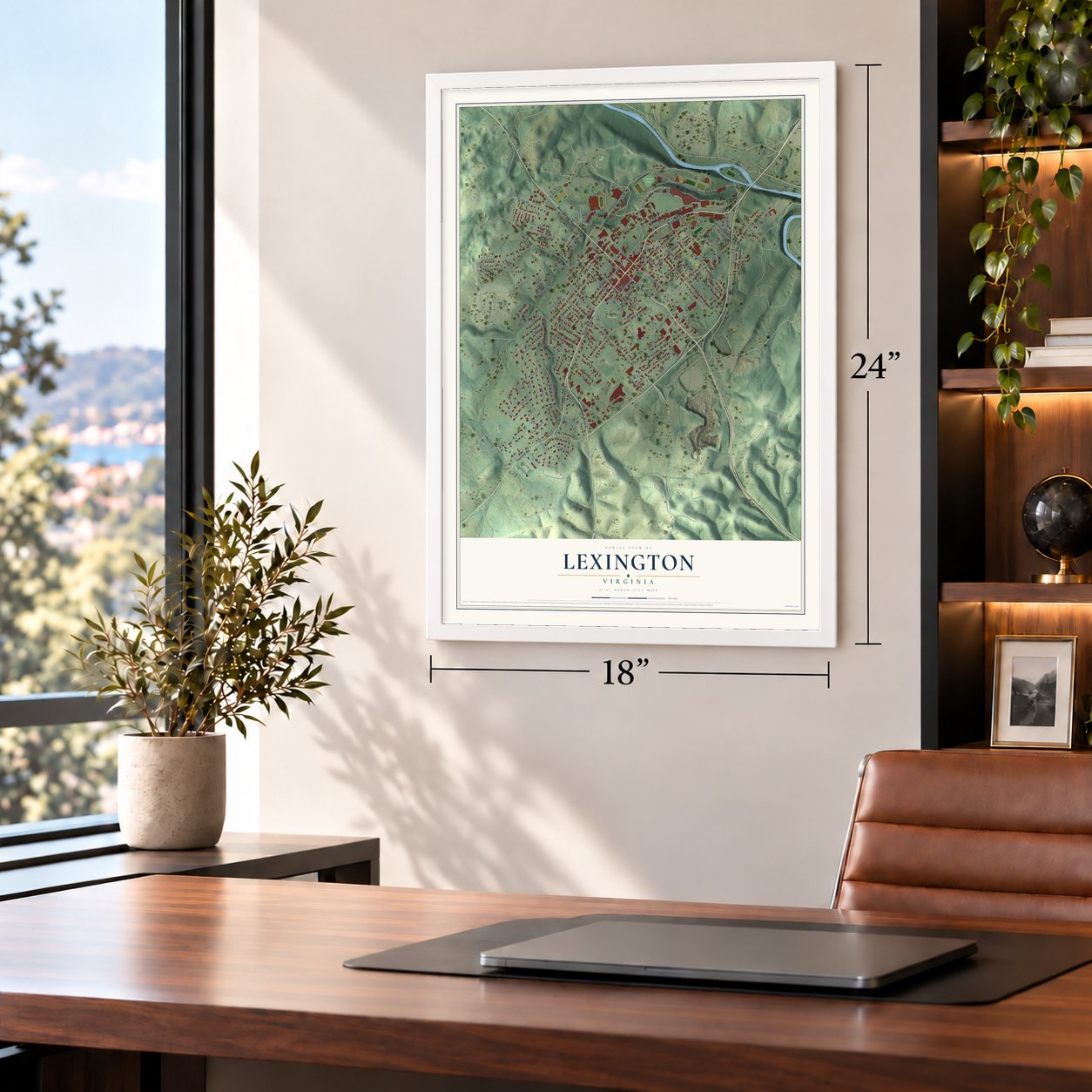


Free U.S. delivery 7 to 10 days after you order
Lexington, Virginia Map Art
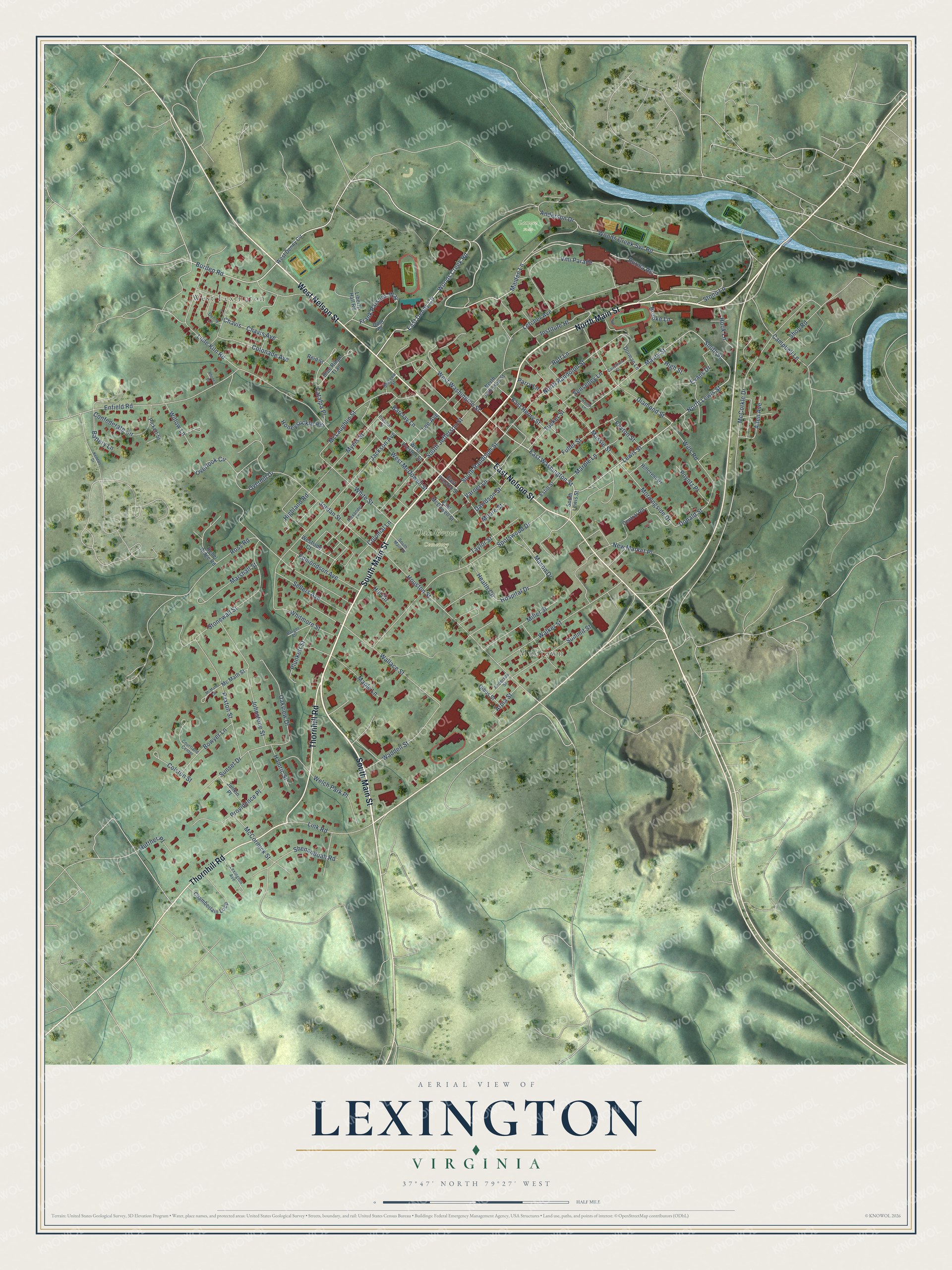
A new map of Lexington, Virginia, made in 2026 and printed to order on thick archival matte paper.
12" x 18" Archival Matte Print
A Map of Home. A Work of Art.
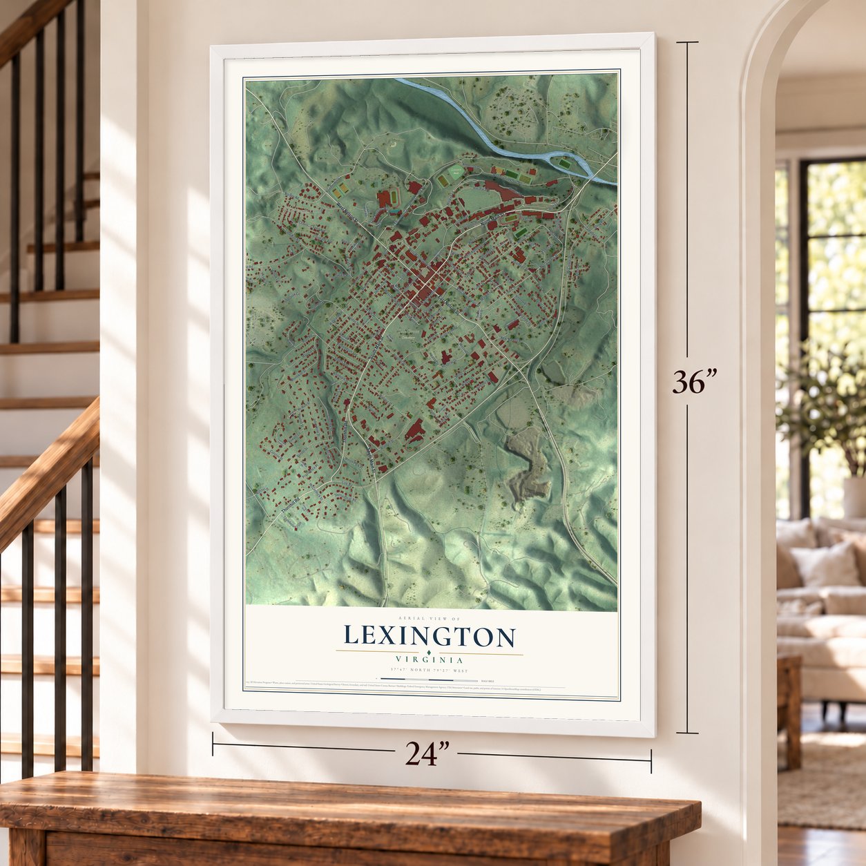
Explore Lexington, Virginia from a whole new perspective. Created using aerial imagery and detailed geographic data, this map captures Lexington building by building, with labeled streets, familiar landmarks, and shaded topographical relief that highlights the natural contours of the landscape.
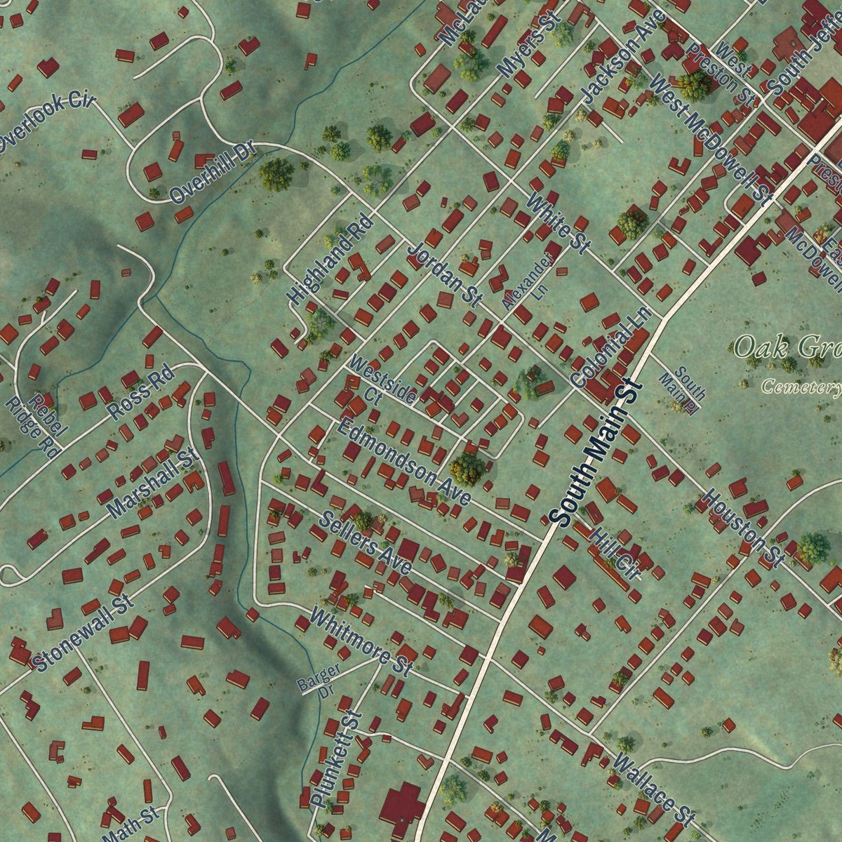
Combining modern data with the timeless character of a vintage atlas, this map is just as interesting up close as it is beautiful on the wall. Whether you grew up in Lexington, spent memorable years there, or call it home today, this unique map is a great way to celebrate a place that means something to you. Zoom in on the preview to look for your street, and then order a print to put your memories on the wall.
Three ways to hang it
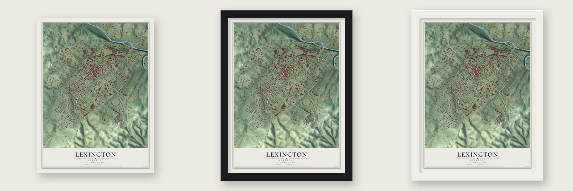
Unframed archival matte, a black wood frame or a white wood frame.
Up close
Geography Worth Displaying
This map was created using accurate cartographic data and authoritative geographic sources, including the U.S. Geological Survey and the Census Bureau. The map brings together terrain, waterways, roads, and building detail. The majority of the streets are labeled, houses are accurately depicted, and the topography is derived from government sources. Combining local data with carefully composed color and shading leads to this beautifully detailed Lexington artwork for your wall.
Rather than simply showing street outlines, we’ve included as many of the street names as we could reasonably fit on the map while keeping their names legible. Zoom in on the high resolution preview to see exactly what’s on the map. We truly set out to create a statement piece for anyone who loves Lexington. So whether it’s for you, or a gift for someone you love, we hope this map of Lexington brings back fond memories.
Read the story behind this map of Lexington, Virginia from 2026.

About Lexington, Virginia
Lexington is an independent city of 7,320 people in the Shenandoah Valley. It is the county seat of Rockbridge County, though the city and the county govern themselves separately. The town was settled and named in 1778, in the middle of the Revolution, and it honored Lexington, Massachusetts, where the war's first shot had been fired. It was only the second American place to take that name, and many more would follow.
The Maury River, which feeds the James, marks the city's northeastern edge. Two schools have shaped Lexington ever since. One is Washington and Lee University, and the other is the Virginia Military Institute, known as VMI. During the Civil War, Union troops under General David Hunter raided VMI, and today higher education and visitors drawn by that war's history drive the local economy.
“Lylburn Downing (1862-1937) was born enslaved in Lexington, attended Lincoln University, and was pastor of Roanoke’s Fifth Avenue Presbyterian Church for more than 40 years.”
- Stonewall Jackson's one houseThomas "Stonewall" Jackson owned just one house in his whole life, and it stands in Lexington. The Stonewall Jackson House is now a museum that visitors can tour, and Jackson himself is buried in the city's Oak Grove Cemetery.
- Lee and his horse TravellerRobert E. Lee is buried in University Chapel on the Washington and Lee campus, and his horse Traveller lies along a walkway just outside. In 2014 a large Confederate battle flag and several state flags were taken down from Lee Chapel and moved into a rotating display at the chapel's museum.
- Brother Rat in 1938Ronald Reagan starred in Brother Rat, a 1938 movie shot in Lexington, and once the film came out, VMI made him an honorary cadet. Hollywood kept coming back: in the fall of 2004, Steven Spielberg came to town with Tom Cruise to shoot part of War of the Worlds.
- McCormick's reaperCyrus McCormick invented the horse-drawn mechanical reaper on his family's farm in Rockbridge County. A statue of him stands on the Washington and Lee campus, and Virginia Tech now runs the old McCormick Farm as an agricultural research center.
Find your street
Names on the Lexington map
Every name below is printed on this map. Look for your street, your school, the park where you played, or the pond down the road.
Places and landmarks4
- West Lexington
- Mudtown
- Oak Grove Cemetery
- Lamore Field
Streets and roads143
- South Main Street
- North Main Street
- West Nelson Street
- East Nelson Street
- Thornhill Road
- Woods Creek Road
- East Denny Circle
- East Washington Street
- Maiden Lane
- Borden Road
- Burma Road
- North Lewis Street
- Smith Street
- Link Road
- Maury Street
- Morningside Drive
- Shenandoah Road
- Donald Street
- Lewis Street
- Wallace Street
- Plunkett Street
- Chavis
- Vmi Parade
- Jackson Avenue
- McCorkle Drive
- Houston Street
- Lime Kiln Road
- Ross Road
- Woods Creek Svc Road
- Stonewall Street
Show all 143 streets
- Anderson Drive
- North Randolph Street
- Institute Hl
- Taylor Street
- Enfield Road
- Health Circle
- Walker Street
- Spotswood Drive
- Campbell Lane
- Massie Street
- South Jefferson Street
- Johnstone Street
- Diamond Street
- Jordan Street
- McLaughlin Street
- Paxton Street
- Overhill Drive
- Providence Place
- Hospital Drive
- Shop Road
- West Washington Street
- Frank Parsons Way
- Welch Park Place
- West McDowell Street
- Stono Lane
- Waddell Street
- White Street
- Sunset Drive
- Varner Lane
- Lee Avenue
- Myers Street
- South Randolph Street
- Catalpa Place
- Summit Street
- Wills Road
- Oakview Drive
- New Market Place
- Miller Street
- Highland Road
- Fuller Street
- Marshall Street
- McCormick Street
- Sellers Avenue
- Letcher Avenue
- Edmondson Avenue
- Hook Lane
- Colonade Avenue
- Whitmore Street
- Bowyer Lane
- Maple Lane
- Confederate Circle
- Marble Lane
- Poyntz Place
- Senseney Lane
- Colston Street
- Tucker Street
- Chavis Avenue
- Overlook Circle
- Mason Drive
- Arpia Street
- Willow Lane
- Allen Avenue
- East Henry Street
- Honeysuckle Hill
- Colonial Lane
- Davidson Street
- Ruff Lane
- Hamric Street
- Ruffner Place
- Barclay Lane
- Peyton Street
- Evans Drive
- Brooke Lane
- Battery Lane
- Hill Circle
- Parry Lane
- High Street
- Moore Street
- West Denny Circle
- South Lewis Street
- Westside Court
- Rebel Ridge Road
- East Preston Street
- Chamberlain Loop
- West Preston Street
- Central Road
- North Jefferson Street
- Liberty Hall Road
- Blue Ridge Trail
- Pickett Street
- Dorman Lane
- East McDowell Street
- Dold Place
- Junkin Place
- Estill Street
- Reid Street
- Mc Math Street
- Gibbs Street
- Hillcrest Drive
- Preston Street
- Courtland Center
- Lexington Avenue
- Denny Lane
- Alexander Lane
- Anderson Street
- Barger Drive
- South Main Place
- Glasgow Street
- Kendall Drive
- Hanna Lane
- McMath Circle
- Carruthers Street
- Rhodes Court
Names are listed as they appear on the printed map. Zoom into the product photos to find them.
The art of mapping a place
How This Map Was Made
Real places. Remarkable detail. Discover the layers that turn geographic data into a map of home.

The view from above
Aerial imagery reveals the character of the land: woodland, open fields, and the patterns of a place.

The shape of the land
Elevation data brings hills, valleys, and subtle changes in the landscape into view.

The details of home
Roads, waterways, and building footprints come together to make the map feel unmistakably local.

Geography becomes art
Considered color, shading, and typography bring the layers together in a map made for your wall.


Process illustrated with Mendon, Massachusetts. Aerial imagery: USDA NAIP. Terrain: USGS 3D Elevation Program. Map details and finished artwork: KNOWOL.
The Details
About This Print
Choose an archival matte print, or a black or white Ayous wood frame. The archival matte print is unframed.
Select your size and finish above to see the matching product image and price.
Materials & Craftsmanship
A contemporary map with the character of a classic atlas, printed on archival matte paper. Optional frames are made from Ayous wood.
Your printed map does not include the watermark shown in the full-map preview.
Shipping & Delivery
Free shipping within the United States. Every print is made to order in the USA.
Buying a gift? Add a note in your cart and we'll include it. We never put prices in the package.
Prints ship within 2 to 3 business days. Allow 7 to 10 days total from ordering for delivery. Timing may vary during holidays or periods of high order volume.
Read our shipping policy.
Returns and damaged prints
Each print is made to order. Change-of-mind refunds are not available after production.
If your print arrives damaged, misprinted or incorrect, contact support@knowol.com within 30 days of receiving it. Include your order number, photos and a description of the issue.
Read our full refund and replacement policy. For questions about your order, email support@knowol.com.
Find your town
Looking for another city?
Find a map of home in our Virginia collection, or any town in the country.
Nearby
Maps of towns near Lexington
Know someone from one of these towns? Their map makes a great gift.
 East Lexington
, Virginia
From $39.99See the map
 Buena Vista
, Virginia
From $39.99See the map
 Glasgow
, Virginia
From $39.99See the map
More maps nearby: Fairfield, Goshen, Millboro, Big Island and Iron Gate.