
Search for another town




Free U.S. delivery 7 to 10 days after you order
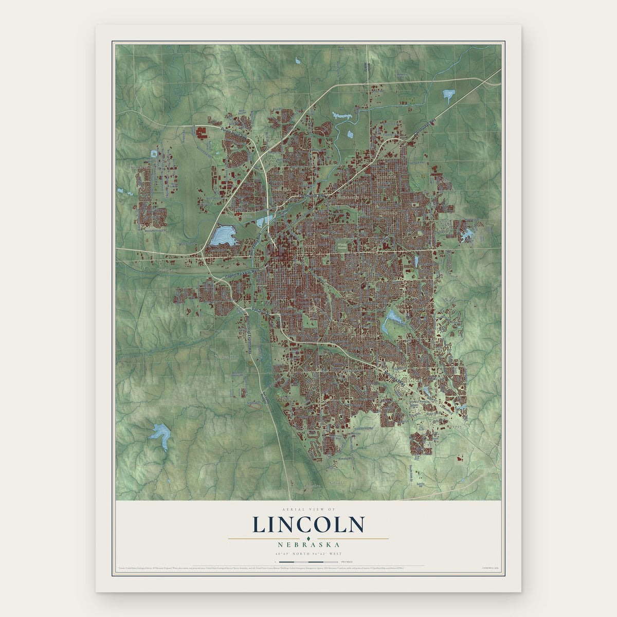
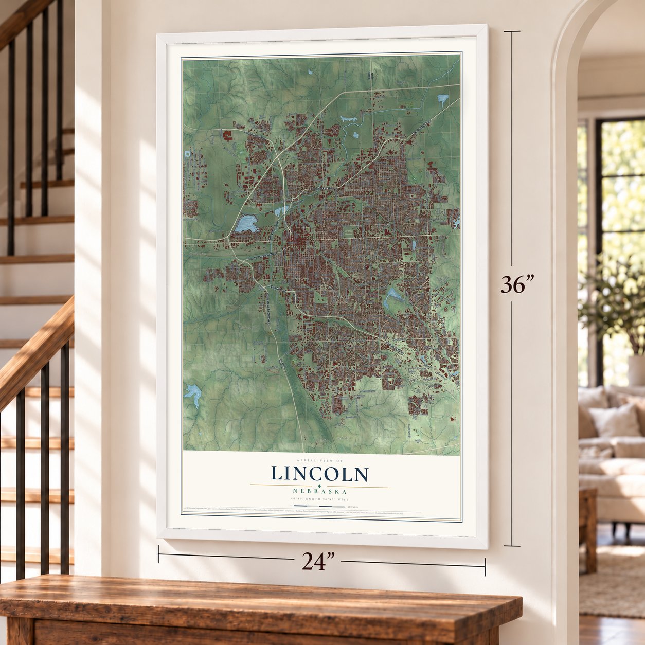
Lincoln, Nebraska Map Art
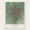
A new map of Lincoln, Nebraska, made in 2026 and printed to order on thick archival matte paper.
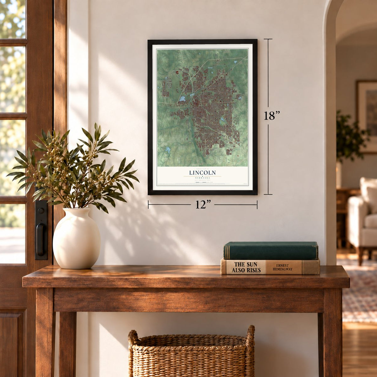
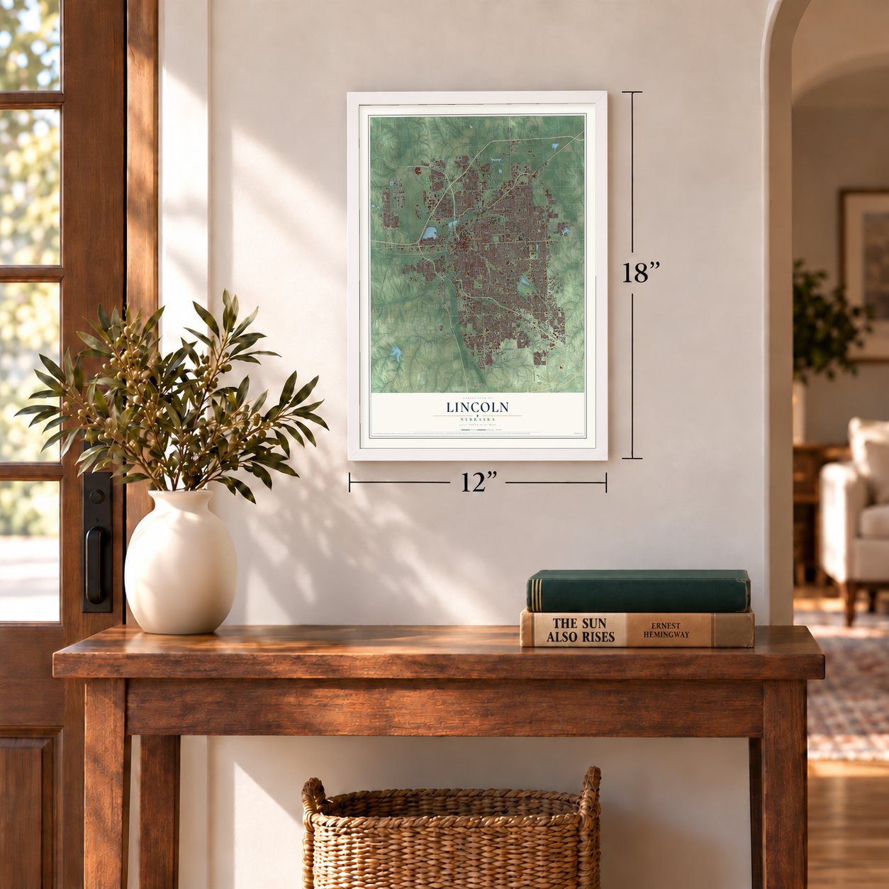
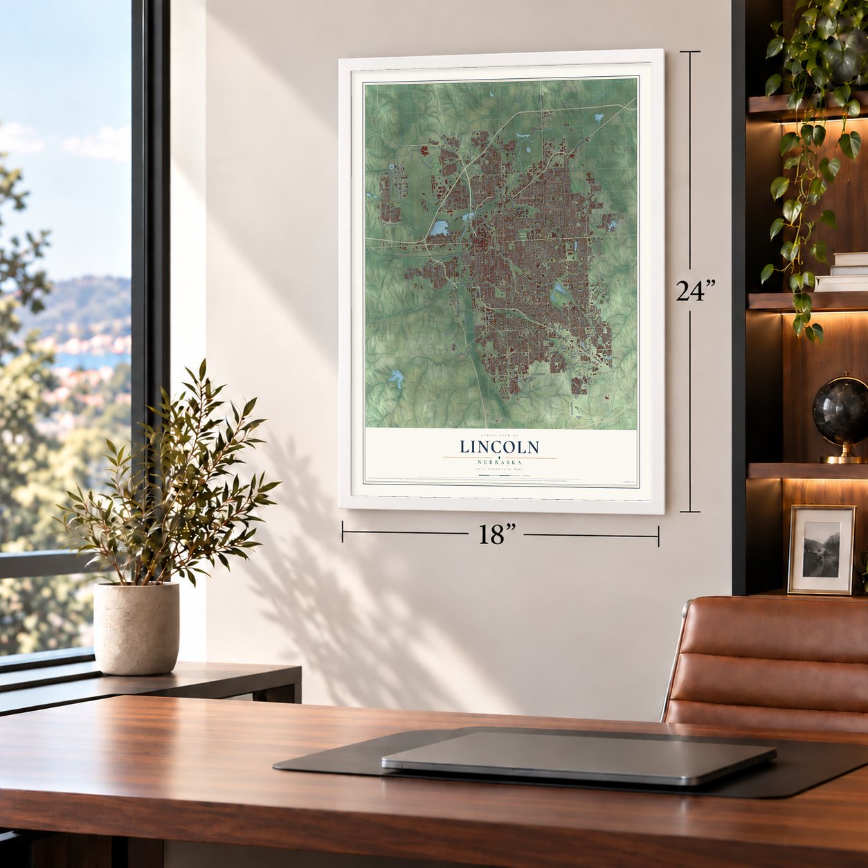
12" x 18" Archival Matte Print
A Map of Home. A Work of Art.
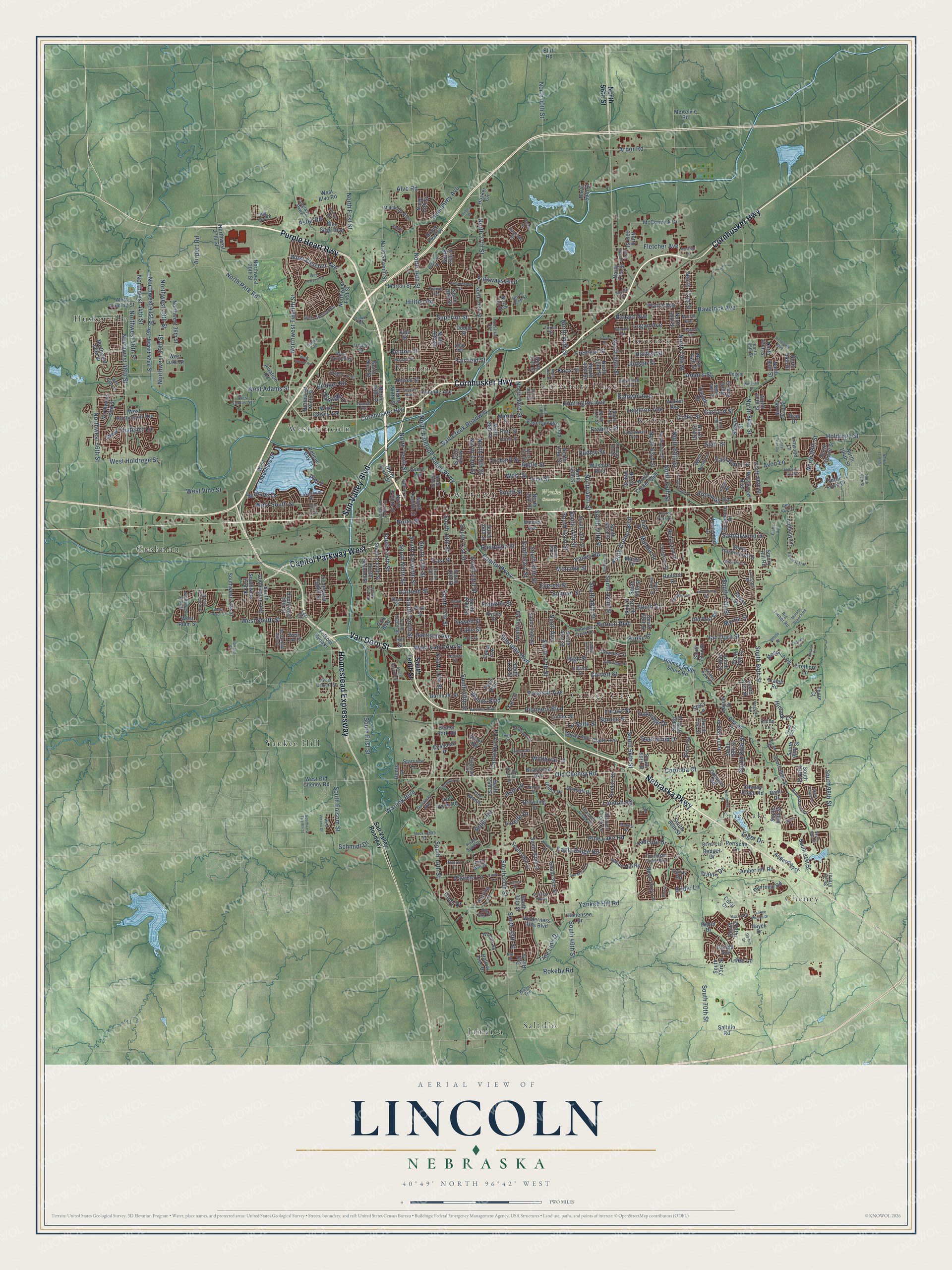
Explore Lincoln, Nebraska from a whole new perspective. Created using aerial imagery and detailed geographic data, this map captures Lincoln building by building, with labeled streets, familiar landmarks, and shaded topographical relief that highlights the natural contours of the landscape.
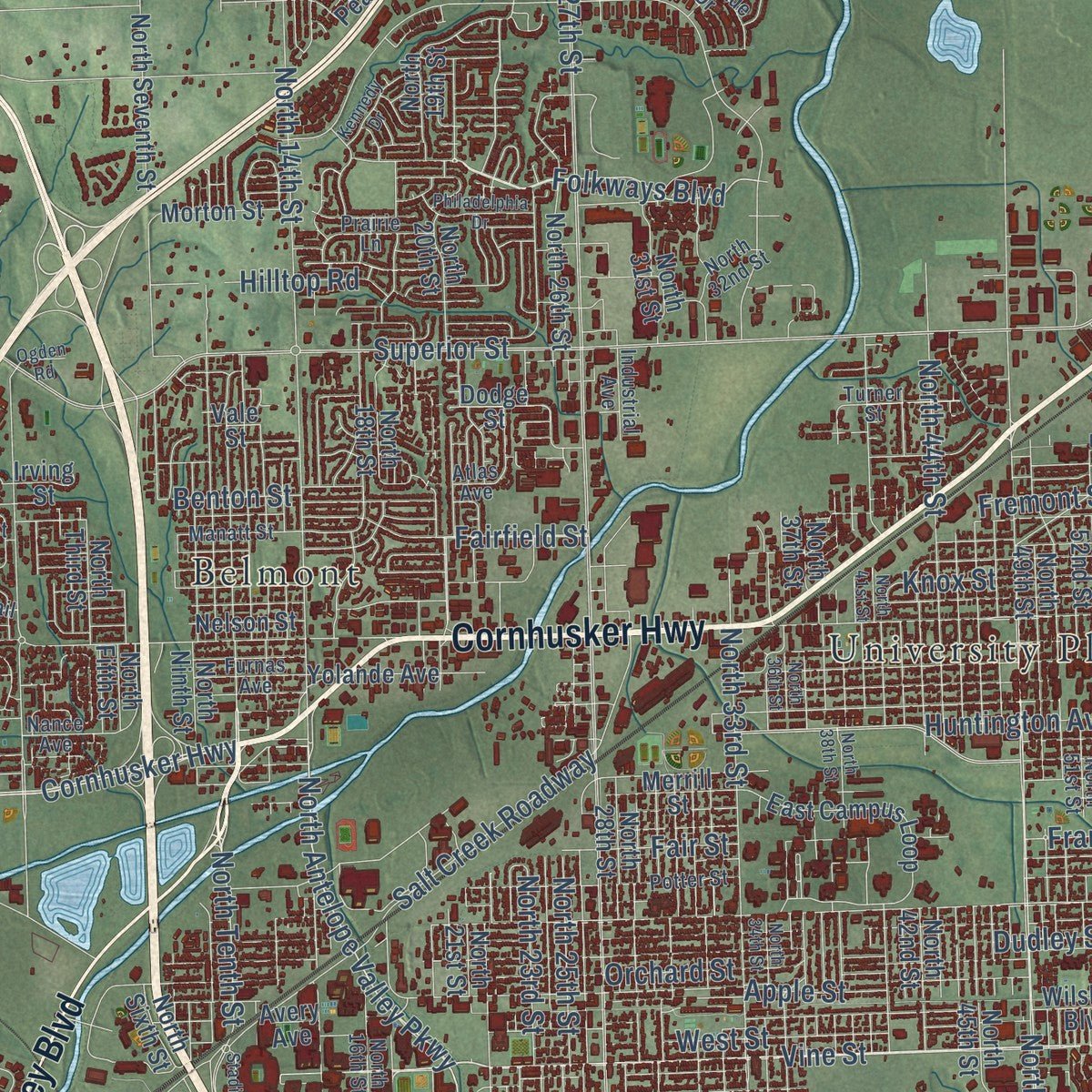
Combining modern data with the timeless character of a vintage atlas, this map is just as interesting up close as it is beautiful on the wall. Whether you grew up in Lincoln, spent memorable years there, or call it home today, this unique map is a great way to celebrate a place that means something to you. Zoom in on the preview to look for your street, and then order a print to put your memories on the wall.
Three ways to hang it
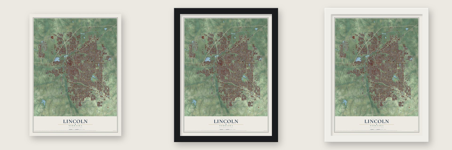
Unframed archival matte, a black wood frame or a white wood frame.
Up close
Geography Worth Displaying
This map was created using accurate cartographic data and authoritative geographic sources, including the U.S. Geological Survey and the Census Bureau. The map brings together terrain, waterways, roads, and building detail. The majority of the streets are labeled, houses are accurately depicted, and the topography is derived from government sources. Combining local data with carefully composed color and shading leads to this beautifully detailed Lincoln artwork for your wall.
Rather than simply showing street outlines, we’ve included as many of the street names as we could reasonably fit on the map while keeping their names legible. Zoom in on the high resolution preview to see exactly what’s on the map. We truly set out to create a statement piece for anyone who loves Lincoln. So whether it’s for you, or a gift for someone you love, we hope this map of Lincoln brings back fond memories.
Read the story behind this map of Lincoln, Nebraska from 2026.
About Lincoln, Nebraska
Lincoln is a city of 291,082 people, the capital of Nebraska and the seat of Lancaster County. It started out in 1856 as a village called Lancaster, beside the east bank of Salt Creek, where the first settlers came for the salt. Captain W. T. Donovan, a former steamer captain, settled on the creek with his family that year. In 1859 Lancaster became the seat of the new county. Its salt trade later faded once J. Sterling Morton opened his salt mines in Kansas.
Nebraska became a state on March 1, 1867, and lawmakers voted to move the capital from Omaha to a spot south of the Platte River. Omaha senator J. N. H. Patrick tried to sink the plan by naming the new capital for the slain President Abraham Lincoln. He bet that senators from the south, many of whom had favored the Confederacy, would then vote no. The trick failed, and the Removal Act passed. Starting on July 18, 1867, Governor David Butler, auditor John Gillespie and secretary of state Thomas Kennard toured sites. They chose Lancaster, a village of about 30 people, and Kennard laid out Lincoln on a much larger plan. The city was incorporated on April 1, 1869.
- The second-tallest capitolNebraska's first capitol, two stories of native limestone with a cupola, was finished December 1, 1868, but proved unsound. William H. Willcox's classical capitol replaced it in 1888 and also had serious structural problems. Bertram G. Goodhue won a national competition to design a third, now the nation's second-tallest capitol. Work began in 1922, state offices moved in by 1924, the Willcox building came down in 1925, and the fourth and final phase ended in 1932.
- A university in 1869In the same year Lincoln was incorporated, the state founded the University of Nebraska here. A land grant of about 130,000 acres backed the new school, and work started that year on University Hall, its first building. Today it is Nebraska's largest university, with 23,954 students, and the city's third-largest employer.
- Charles Lindbergh's flight schoolE.J. Sias founded the Lincoln Flying School in a building he put up at 2145 O Street. Charles Lindbergh was one of its students in 1922. The school stayed open until 1947.
- 25,000 mechanics trainedIn 1942 the Army opened the Lincoln Army Airfield on the city's small municipal field. During World War II it trained more than 25,000 aviation mechanics and processed more than 40,000 troops for combat. It closed in 1945, and the Air Force reopened it in 1952 for the Korean War. After the Air Force left, Lincoln annexed it in 1966 as the Lincoln Airport. The Lincoln Army Air Field Regimental Chapel is on the National Register.
- The Kennard house, 1869Thomas Kennard, the state official who laid out Lincoln, built his house in 1869. It is the oldest building still standing in the city's original plat. The Thomas P. Kennard House is on the National Register.
Find your street
Names on the Lincoln map
Every name below is printed on this map. Look for your street, your school, the park where you played, or the pond down the road.
Places and landmarks16
- Downtown
- Jensen Park
- Wyuka Cemetery
- Belmont
- Bethany
- Cheney
- College View
- Cushman
- Havelock
- Huskerville
- Jamaica
- Pine Lake
Show all 16 places
- Saltillo
- University Place
- West Lincoln
- Yankee Hill
Streets and roads503
- Cornhusker Highway
- Purple Heart Highway
- Sun Valley Boulevard
- Nebraska Parkway
- Homestead Expressway
- Capitol Parkway West
- Van Dorn Street
- Vine Street
- South 48th Street
- Northwest Twelfth Street
- West Van Dorn Street
- North Antelope Valley Parkway
- South Ninth Street
- South 84th Street
- Folkways Boulevard
- North 25th Street
- Airport Road
- Old Cheney Road
- North 48th Street
- Pine Lake Road
- North 84th Street
- South 16th Street
- South First Street
- North 44th Street
- South Cotner Boulevard
- North 23rd Street
- Steinway Road
- South 70th Street
- North 27th Street
- South 27th Street
Show all 503 streets
- South 56th Street
- Superior Street
- North 56th Street
- South Street
- South 40th Street
- South 14th Street
- North 70th Street
- Holdrege Street
- Pioneers Boulevard
- Adams Street
- Yankee Hill Road
- Normal Boulevard
- Leighton Avenue
- South 13th Street
- Fletcher Avenue
- Sumner Street
- South 52nd Street
- North 14th Street
- South 33rd Street
- South 37th Street
- South Folsom Street
- Calvert Street
- Sheridan Boulevard
- Northwest 48th Street
- South 17th Street
- North 33rd Street
- West Adams Street
- North First Street
- Huntington Avenue
- South 44th Street
- South 20th Street
- South 28th Street
- North Park Road
- West Fletcher Avenue
- Orchard Street
- Randolph Street
- Rokeby Road
- North Street
- North 40th Street
- North 63rd Street
- Havelock Avenue
- North 68th Street
- Garfield Street
- Warlick Boulevard
- North Tenth Street
- South 35th Street
- Dudley Street
- Knox Street
- Colby Street
- Starr Street
- South 80th Street
- Judson Street
- East Street
- Fremont Street
- North 66th Street
- Hartley Street
- Baldwin Avenue
- South 42nd Street
- High Street
- South 18th Street
- Garland Street
- Franklin Street
- Benton Street
- Capitol Parkway
- South Eleventh Street
- South 98th Street
- Fairfield Street
- South 50th Street
- West South Street
- Prescott Avenue
- South Tenth Street
- Lake Street
- South 77th Street
- West Street
- Alvo Road
- Northwest 44th Street
- Arbor Road
- Northwest 41st Street
- South Sixth Street
- La Salle Street
- Salt Creek Roadway
- South 21st Street
- Northwest 38th Street
- Francis Street
- Sewell Street
- Everett Street
- Northwest 39th Street
- Northwest 46th Street
- Northwest 56th Street
- Harrison Avenue
- Logan Avenue
- Humphrey Avenue
- South 23rd Street
- Ballard Avenue
- North 72nd Street
- Hilltop Road
- North 98th Street
- Fair Street
- Mohawk Street
- Bridle Lane
- Spruce Street
- Platte Avenue
- Ridge Road
- Apple Street
- Locust Street
- West Holdrege Street
- Eiger Drive
- East Avon Lane
- Eagle Ridge Road
- West Thatcher Lane
- Myrtle Street
- Aster Road
- Surfside Drive
- Deerwood Drive
- Mulder Drive
- Lilee Lane
- Valley Road
- Roose Street
- Sandalwood Drive
- Tree Line Drive
- Cordoba Court
- Canterbury Lane
- Avon Lane
- Schmidt Drive
- Wildbriar Lane
- Woods Boulevard
- Gaslight Lane
- Vavrina Lane
- West Vine Street
- Oakridge Drive
- Bridger Road
- Himark Lane
- Jane Lane
- Hidcote Drive
- London Road
- Scott Avenue
- Laredo Drive
- Travis Drive
- Pier 2
- Cody Drive
- North Cotner Boulevard
- Northwest 20th Street
- West Lakeshore Drive
- South 30th Street
- South 19th Street
- North 19th Street
- South 53rd Street
- Phares Drive
- North Twelfth Street
- Dodge Street
- Russwood Boulevard
- South 34th Street
- South 32nd Street
- North 60th Street
- South 46th Street
- South 31st Street
- North 26th Street
- North Seventh Street
- North 57th Street
- North 20th Street
- South 58th Street
- South 29th Street
- North 58th Street
- South 25th Street
- South 91st Street
- South 78th Street
- South 41st Street
- North Ninth Street
- North 52nd Street
- South 88th Street
- Pawnee Street
- South 57th Street
- South 36th Street
- North 28th Street
- North 73rd Street
- North 35th Street
- South Coddington Avenue
- South 26th Street
- South 66th Street
- Northwest First Street
- North 49th Street
- South 81st Street
- North 15th Street
- South 72nd Street
- North 50th Street
- Walker Avenue
- South 75th Street
- South 22nd Street
- North 69th Street
- North 31st Street
- South 79th Street
- North 21st Street
- North 45th Street
- East Campus Loop
- South 90th Street
- Wilderness Hills Boulevard
- Andermatt Drive
- South 74th Street
- West Cuming Street
- Saltillo Road
- West Alvo Road
- Northwest 42nd Street
- North 81st Street
- North 86th Street
- North 37th Street
- North 18th Street
- Northwest Ninth Street
- Ryons Street
- North 42nd Street
- Northwest 27th Street
- South Second Street
- Montello Road
- South 76th Street
- Northwest 54th Street
- South 93rd Street
- Morton Street
- Sycamore Drive
- Devoe Drive
- West Luke Street
- South 59th Street
- North Eighth Street
- Linden Street
- Southwest 27th Street
- Southwest Eighth Street
- Northwest 36th Street
- North Third Street
- Union Hill Road
- South 73rd Street
- West Dawes Avenue
- West Plum Street
- South 71st Street
- Burnham Street
- Upton Grey Lane
- Hohensee Drive
- Holmes South Shore Road
- Duxhall Drive
- Anthony Lane
- North 104th Street
- South 67th Street
- South Fourth Street
- North 74th Street
- Southwest 15th Street
- Beaver Creek Lane
- The Knolls
- South 86th Street
- Northwest 53rd Street
- Irving Street
- West Avon Lane
- North 87th Street
- Shore Front Drive
- North 89th Street
- Merrill Street
- Folsom Bypass
- Browning Street
- Hill Street
- Del Rio Drive
- Lakewood Drive
- South 60th Street
- West Huntington Avenue
- Plum Street
- Cavvy Road
- North Sixth Street
- Yolande Avenue
- Wilshire Boulevard
- Winthrop Road
- Blue Sage Boulevard
- Dorothy Drive
- Dale Drive
- West Old Cheney Road
- Park Boulevard
- South Hazelwood Drive
- Aviation Road
- Nelson Street
- Rockhurst Drive
- Amber Hill Road
- Southwest 24th Street
- Gerald Avenue
- McCormick Drive
- Linwood Lane
- Katrina Lane
- Dunrovin Road
- Pace Boulevard
- Smoky Hill Road
- North Fifth Street
- Hollow Tree Drive
- North 91st Street
- Queens Drive
- North 102nd Street
- Old Post Road
- Gertie Avenue
- Firethorn Lane
- Bison Drive
- Husker Circle
- Cheney Ridge Road
- Starview Lane
- Berg Drive
- Old Farm Road
- Briarwood Avenue
- Portsche Lane
- McKelvie Road
- North 90th Street
- Claire Avenue
- Culwells Road
- Lucile Drive
- Cushman Drive
- Badger Drive
- Union Drive
- Center Park Road
- Stacy Lane
- Woods Avenue
- Tralee Road
- Hayek Drive
- Rebel Drive
- Margo Drive
- Rexford Drive
- Teri Lane
- Pelican Bay Place
- Grays Peak Drive
- Bluff Road
- Sawyer Street
- Avery Avenue
- Vale Street
- Thorn Court
- North 94th Street
- Remi Drive
- Cedar Avenue
- Hunts Drive
- Kathy Lane
- Essex Road
- Coral Drive
- Salt Valley Roadway
- Cleveland Avenue
- North 65th Street
- South Eighth Street
- South 39th Street
- South 15th Street
- Aylesworth Avenue
- North 32nd Street
- North 54th Street
- North 16th Street
- North 51st Street
- Morrill Avenue
- Sherman Street
- Tallgrass Parkway
- Tipperary Trail
- Southwest 16th Street
- Potter Street
- South 97th Street
- Briar Rosa Drive
- Rose Street
- Pinnacle Arena Drive
- North 78th Street
- Manatt Street
- Hillside Street
- West Fairfield Street
- West Furnas Avenue
- Southwest 31st Street
- Furnas Avenue
- Atlas Avenue
- Blackstone Road
- North 55th Street
- Hickory Lane
- Thompson Creek Boulevard
- West Jennifer Drive
- Helen Witt Drive
- East Manor Drive
- Taylor Park Drive
- Oregon Trail
- Holmes Park Road
- Regent Drive
- Evergreen Drive
- Kessler Boulevard
- Southwest 36th Street
- Nance Avenue
- Middleton Avenue
- Garret Lane
- West Lake Street
- Dakota Street
- Turner Street
- Crooked Creek Drive
- Big Timber Road
- Antelope Creek Road
- Lakeshore Drive
- Industrial Avenue
- Prairie Lane
- West Calvert Street
- Wildfire Road
- Sequoia Lane
- Revere Lane
- Janssen Drive
- Troon Drive
- Galloway Avenue
- Hazel Scott Drive
- Cascade Drive
- Indian Road
- Orwell Street
- North 85th Street
- Big Sky Circle
- Pagoda Lane
- Walter Terrace
- Big Sky Road
- Red Sky Lane
- Last Road
- South 47th Street
- Grainger Parkway
- South 89th Street
- South Seventh Street
- North 38th Street
- Seward Avenue
- Kearney Avenue
- Yankee Woods Drive
- Southwest Twelfth Street
- North 34th Street
- West Peach Street
- Smith Street
- North 79th Street
- Glass Ridge Drive
- South Third Street
- North 41st Street
- North 36th Street
- San Mateo Lane
- Ashbrook Drive
- West Harvest Drive
- Euclid Avenue
- Hillcrest Trail
- West Upland Avenue
- Eastborough Lane
- Windmill Drive
- Tierra Drive
- Wildcat Drive
- Lincolnshire Road
- South 95th Street
- Cedar Cove Road
- North 112th Street
- Philadelphia Drive
- Milrose Branch Road
- Wildrye Road
- Stephanos Drive
- Kennedy Drive
- Trelawney Drive
- Mockingbird Lane
- North 108th Street
- Russell Drive
- Amanda Road
- Aldrich Road
- West Craw Street
- Monterey Drive
- Renegade Boulevard
- Stadium Drive
- Ogden Road
- Maxine Drive
- West Verano Drive
- Northern Sky Road
- Saline Drive
- North 58th Court
- Holland Street
- Madalyn Road
- Ervin Street
- Tuscan Court
- Phoenix Drive
- Hoy Street
- Oshea Drive
- Durado Court
- Emily Lane
- Dalton Drive
- Eloise Avenue
- Barker Lane
- North Bell Street
- Resort Drive
- Cattail Road
- Emery Lane
- Sicily Lane
- Alex Lane
Names are listed as they appear on the printed map. Zoom into the product photos to find them.
The art of mapping a place
How This Map Was Made
Real places. Remarkable detail. Discover the layers that turn geographic data into a map of home.

The view from above
Aerial imagery reveals the character of the land: woodland, open fields, and the patterns of a place.

The shape of the land
Elevation data brings hills, valleys, and subtle changes in the landscape into view.

The details of home
Roads, waterways, and building footprints come together to make the map feel unmistakably local.

Geography becomes art
Considered color, shading, and typography bring the layers together in a map made for your wall.


Process illustrated with Mendon, Massachusetts. Aerial imagery: USDA NAIP. Terrain: USGS 3D Elevation Program. Map details and finished artwork: KNOWOL.
The Details
About This Print
Choose an archival matte print, or a black or white Ayous wood frame. The archival matte print is unframed.
Select your size and finish above to see the matching product image and price.
Materials & Craftsmanship
A contemporary map with the character of a classic atlas, printed on archival matte paper. Optional frames are made from Ayous wood.
Your printed map does not include the watermark shown in the full-map preview.
Shipping & Delivery
Free shipping within the United States. Every print is made to order in the USA.
Buying a gift? Add a note in your cart and we'll include it. We never put prices in the package.
Prints ship within 2 to 3 business days. Allow 7 to 10 days total from ordering for delivery. Timing may vary during holidays or periods of high order volume.
Read our shipping policy.
Returns and damaged prints
Each print is made to order. Change-of-mind refunds are not available after production.
If your print arrives damaged, misprinted or incorrect, contact support@knowol.com within 30 days of receiving it. Include your order number, photos and a description of the issue.
Read our full refund and replacement policy. For questions about your order, email support@knowol.com.
Find your town
Looking for another city?
Find a map of home in our Nebraska collection, or any town in the country.
Nearby
Maps of towns near Lincoln
Know someone from one of these towns? Their map makes a great gift.
 Yankee Hill
, Nebraska
From $39.99See the map
 Walton
, Nebraska
From $39.99See the map
 Cheney
, Nebraska
From $39.99See the map
More maps nearby: Emerald, Prairie Home, Waverly, Denton and Roca.